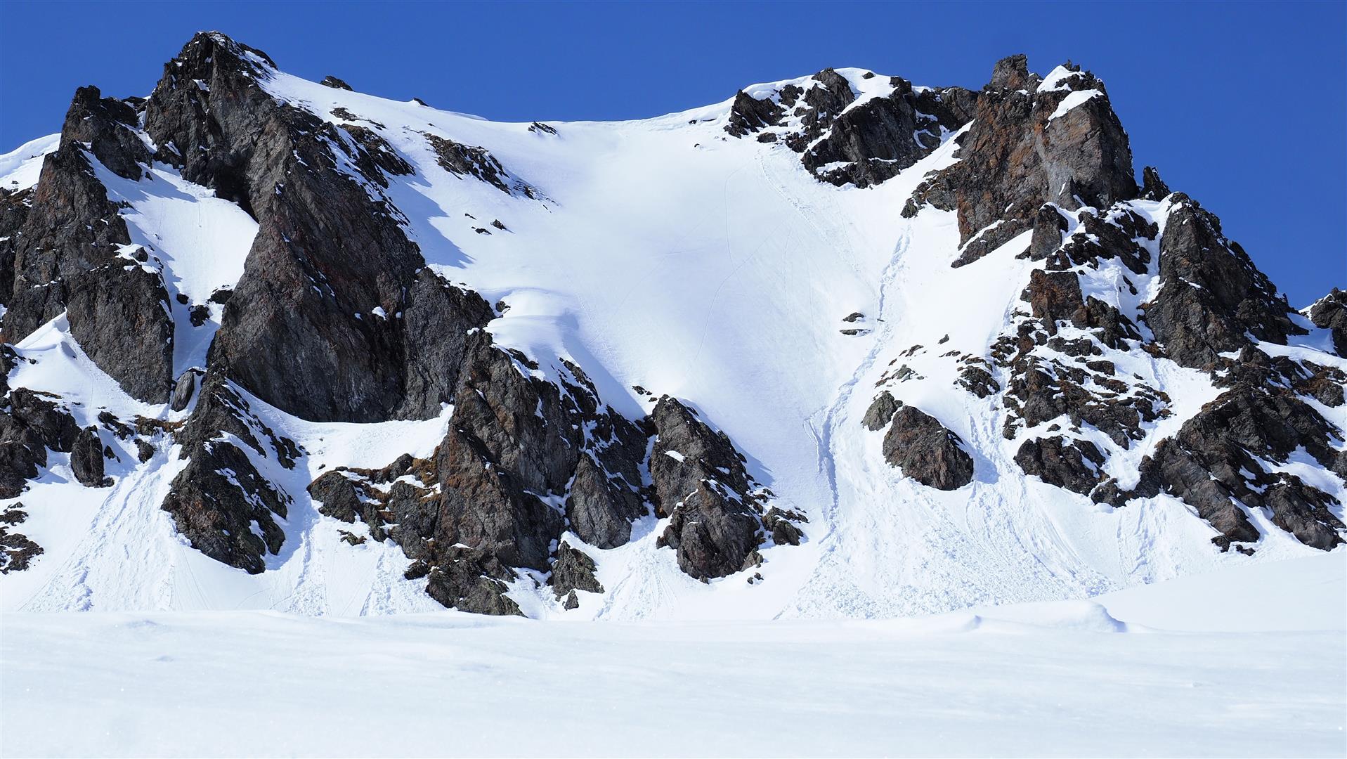
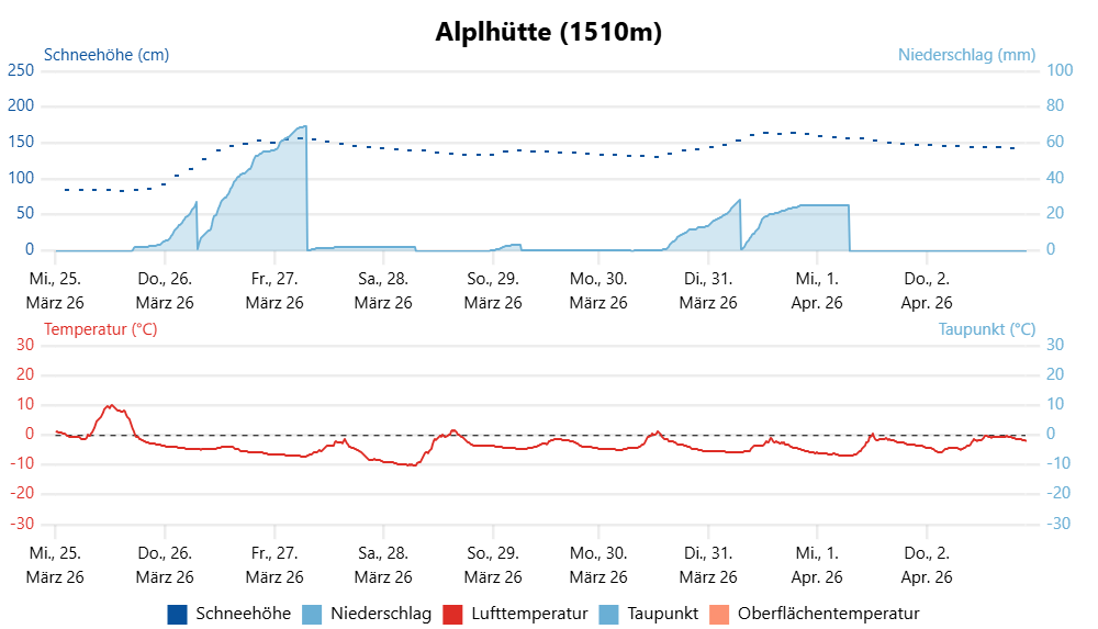
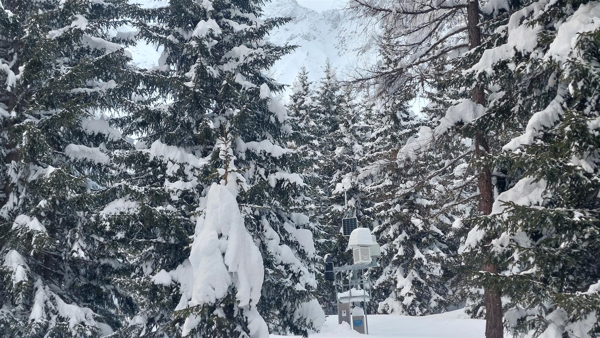
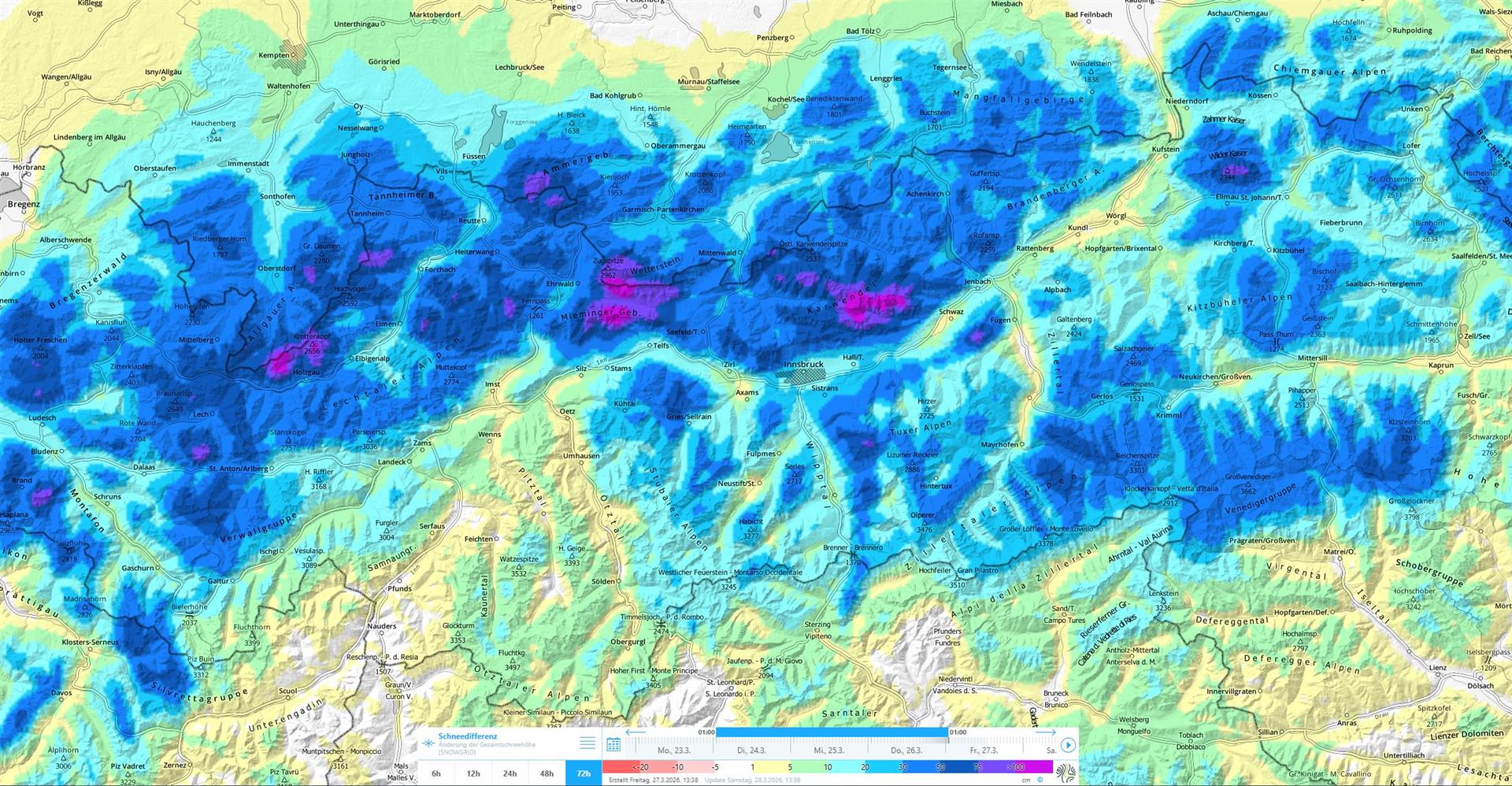
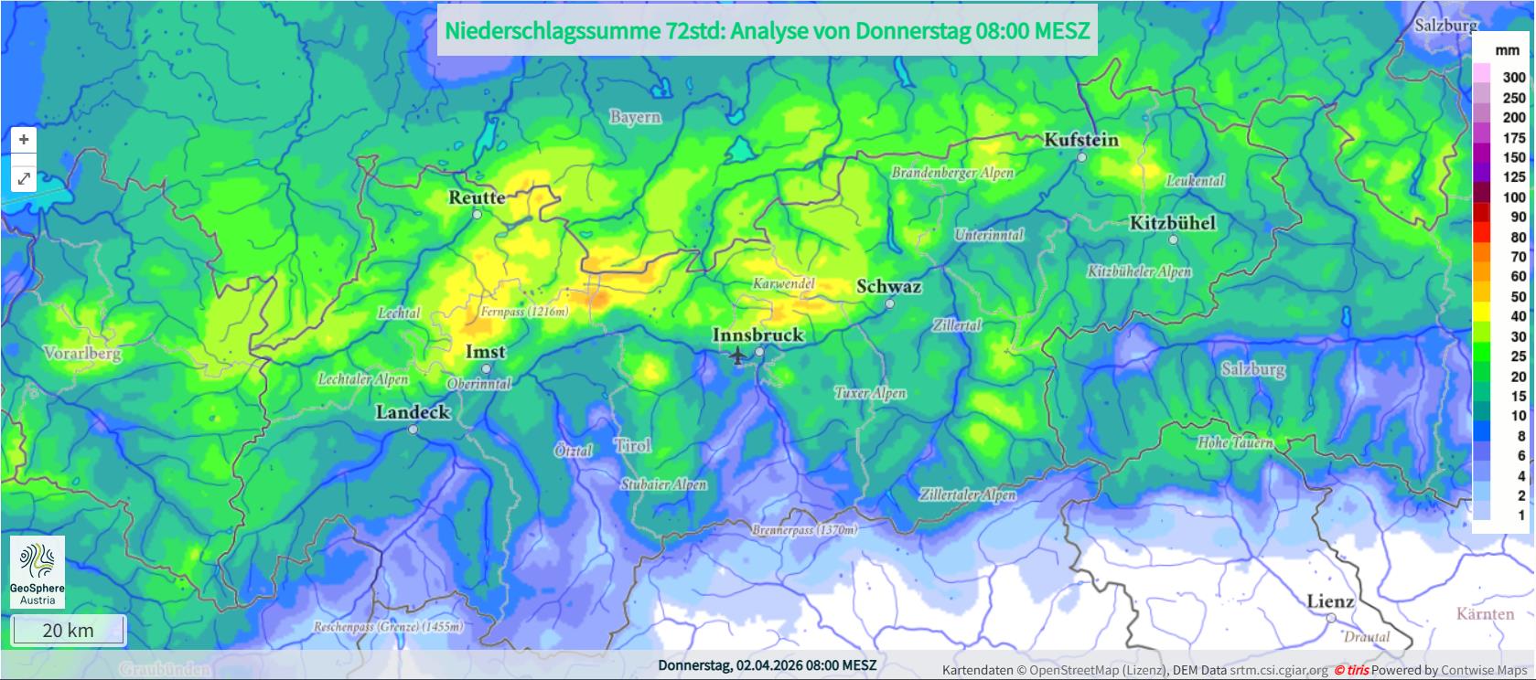
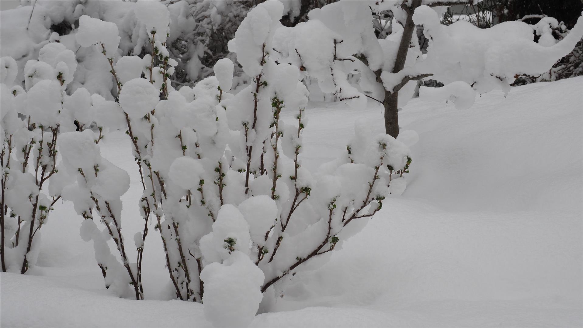
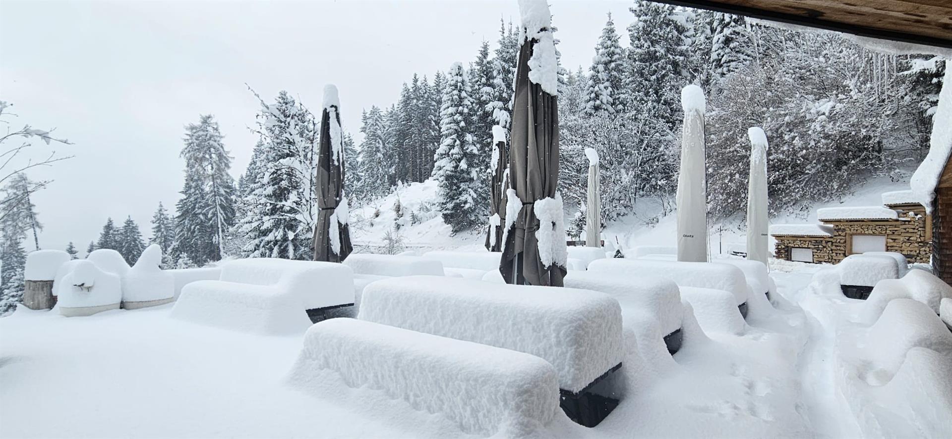
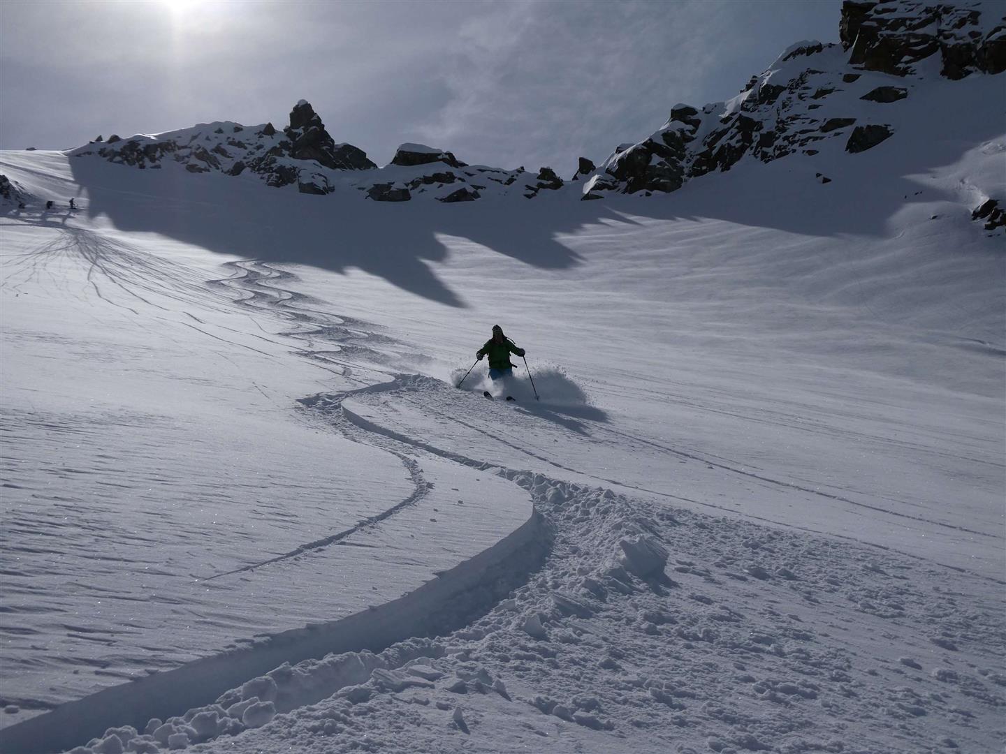
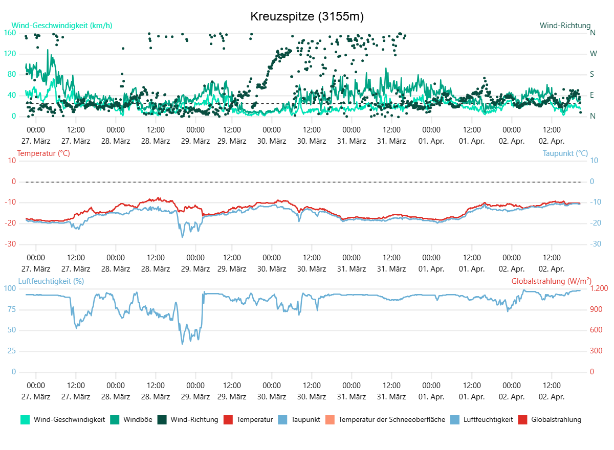
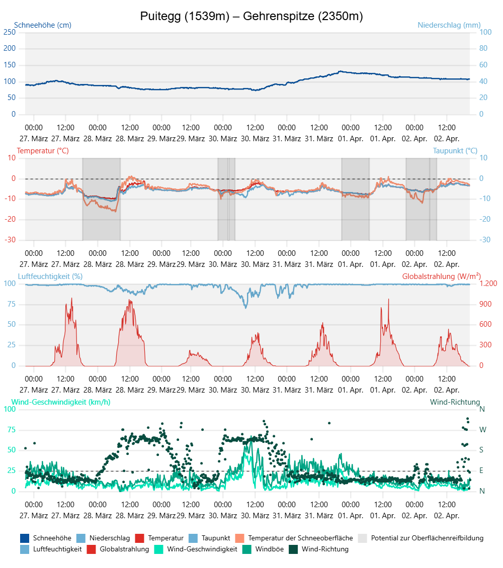
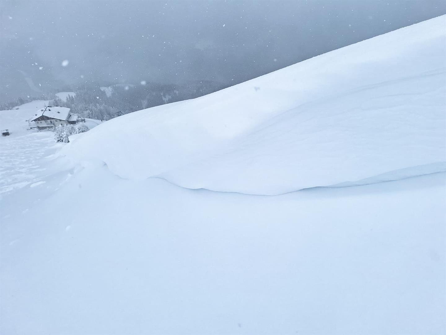
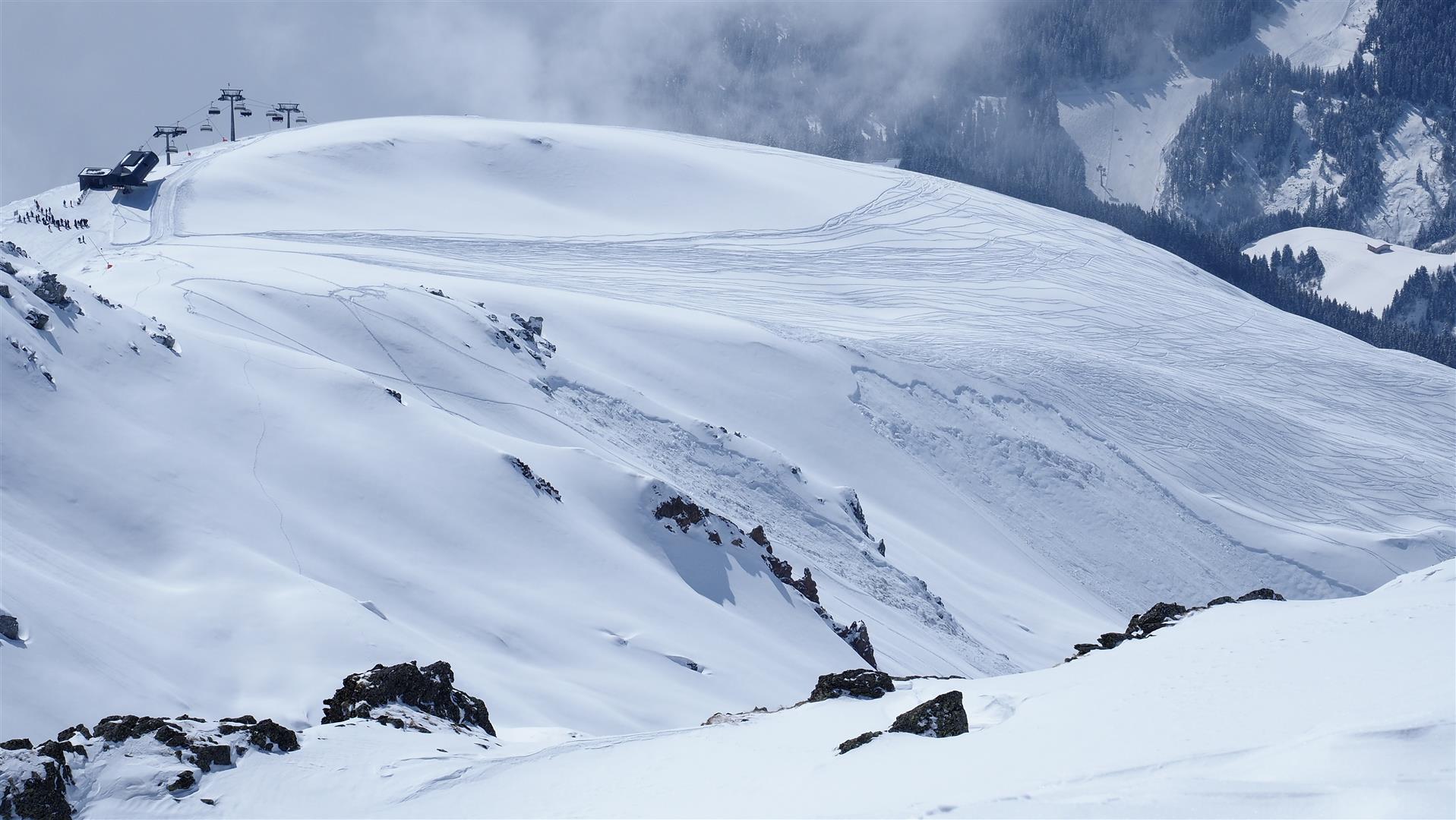
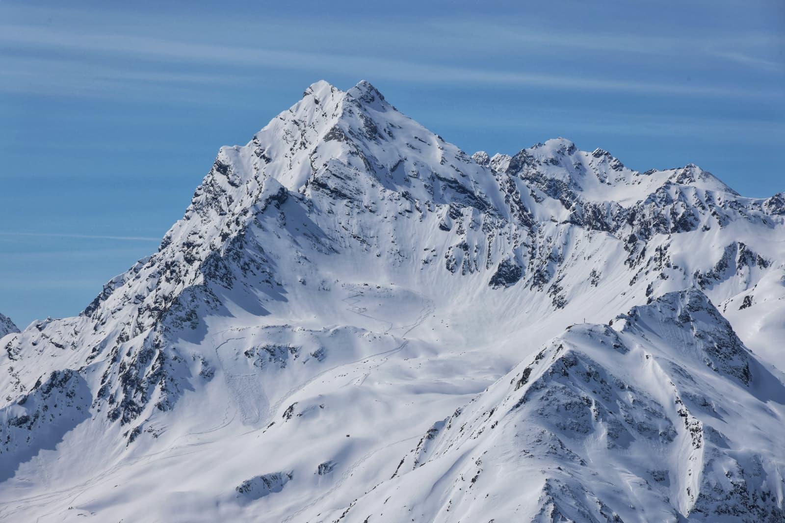
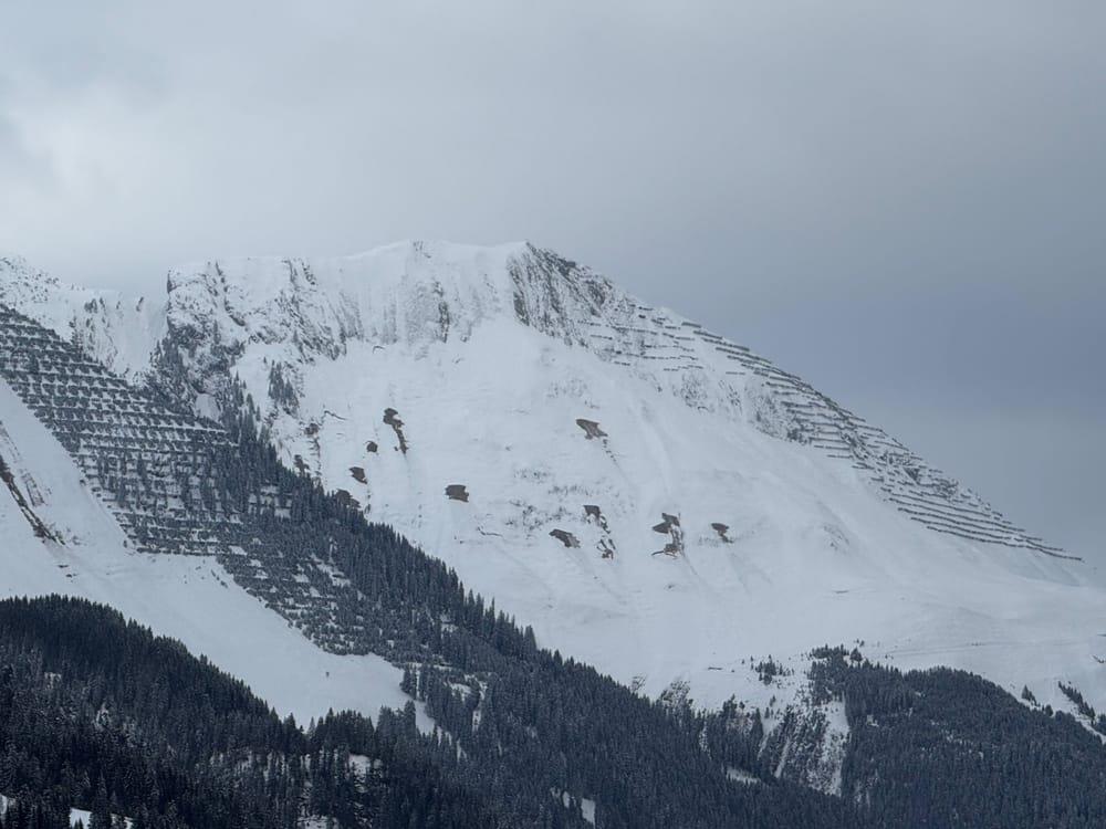
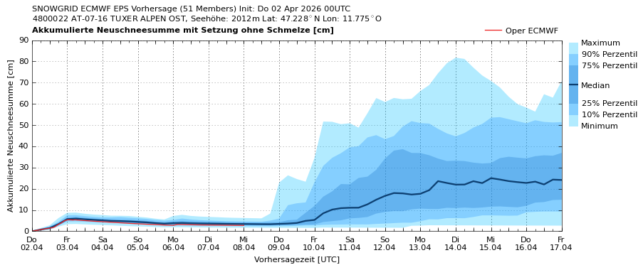
Last week bore the stamp, particularly in northern regions, of heavy new-fallen snow (mostly 50-100cm, up to 150cm regionally) and often storm-strength winds from varying directions. The naturally triggered avalanche activity was limited.
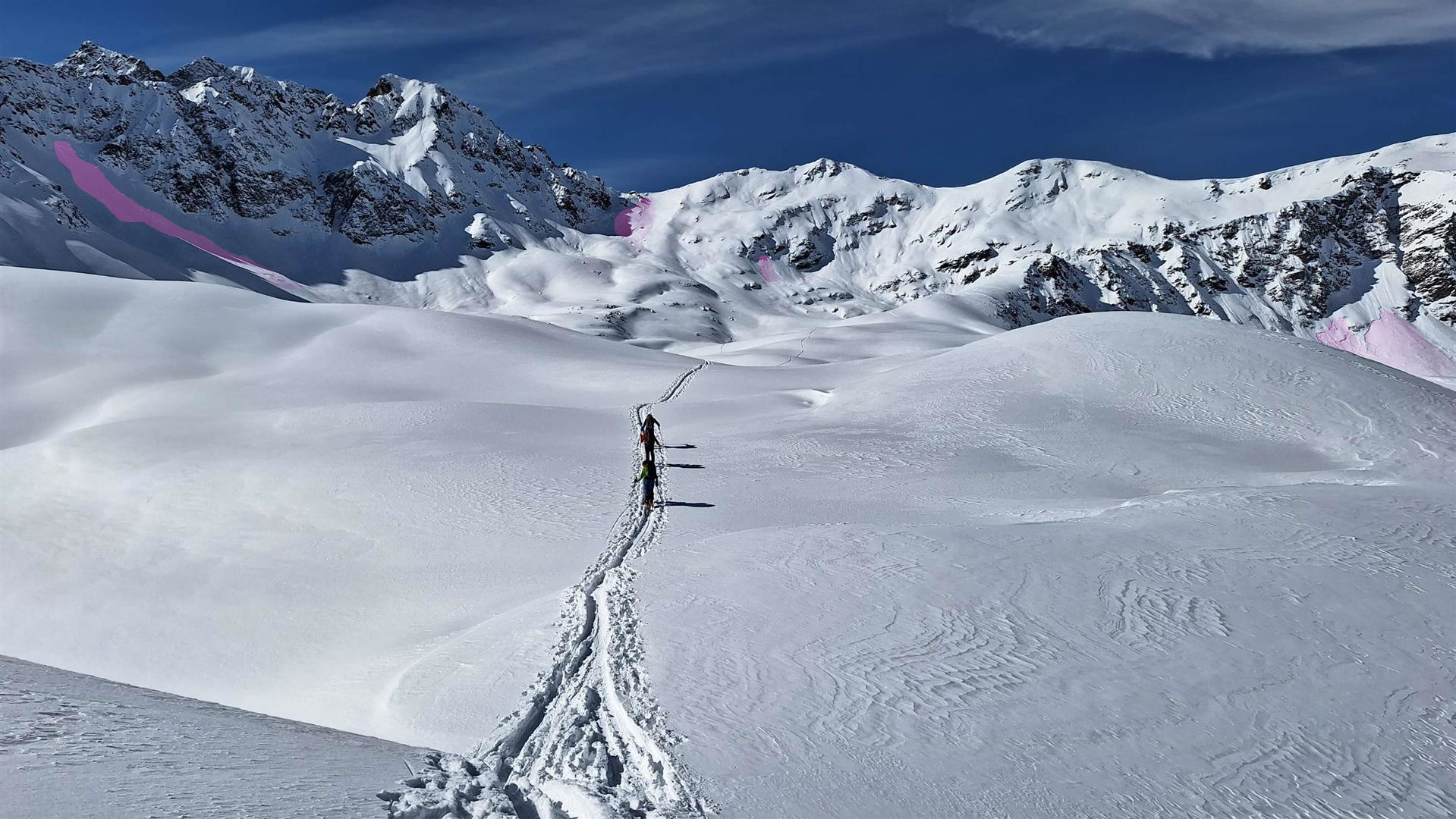
Major danger zones for dry-snow slab avalanches currently occur on west, northwest and northeast-facing slopes at 2200m to 2800m.
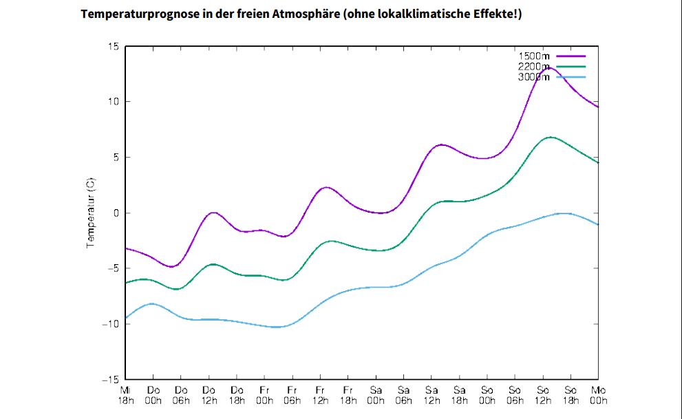
Over the next few days temperatures will continue to rise. A springtime situation will set in, bringing with it a daytime rise in avalanche danger.
Lots of fresh snow
Two thrusts of cold air brought snowfall down to low-lying areas particularly in North Tirol and northern East Tirol. The heaviest snowfall was in western and northern regions of North Tirol, where 50 to 100cm of fresh fallen snow was registered, in some regions as much as 150cm.
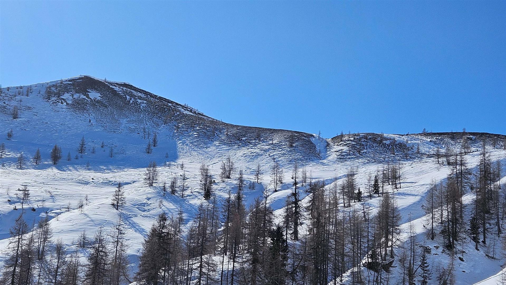
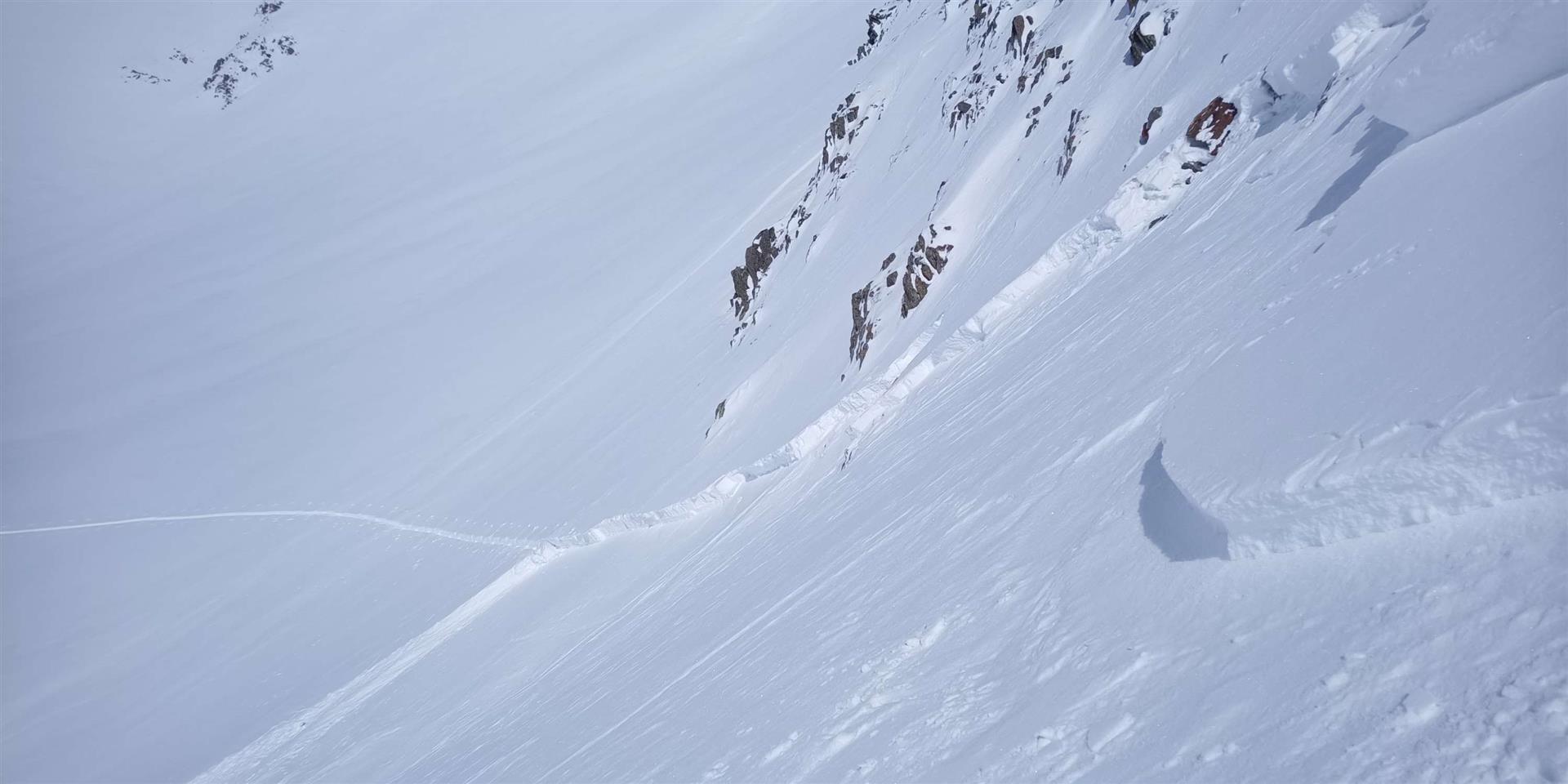
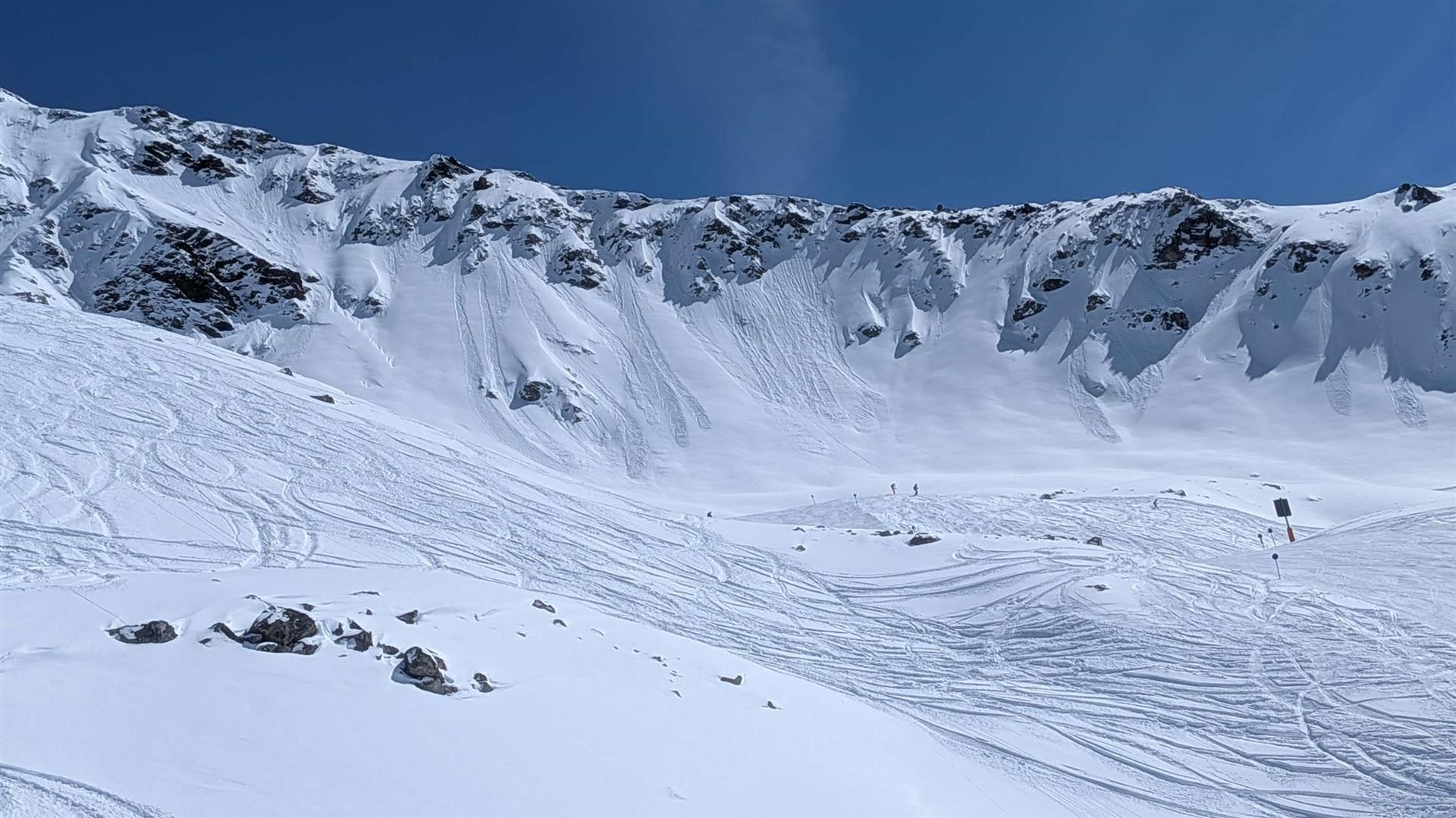
As mentioned at the onset, relatively few avalanches triggered naturally. These were all slab avalanches which triggered in the near-surface weak layers.
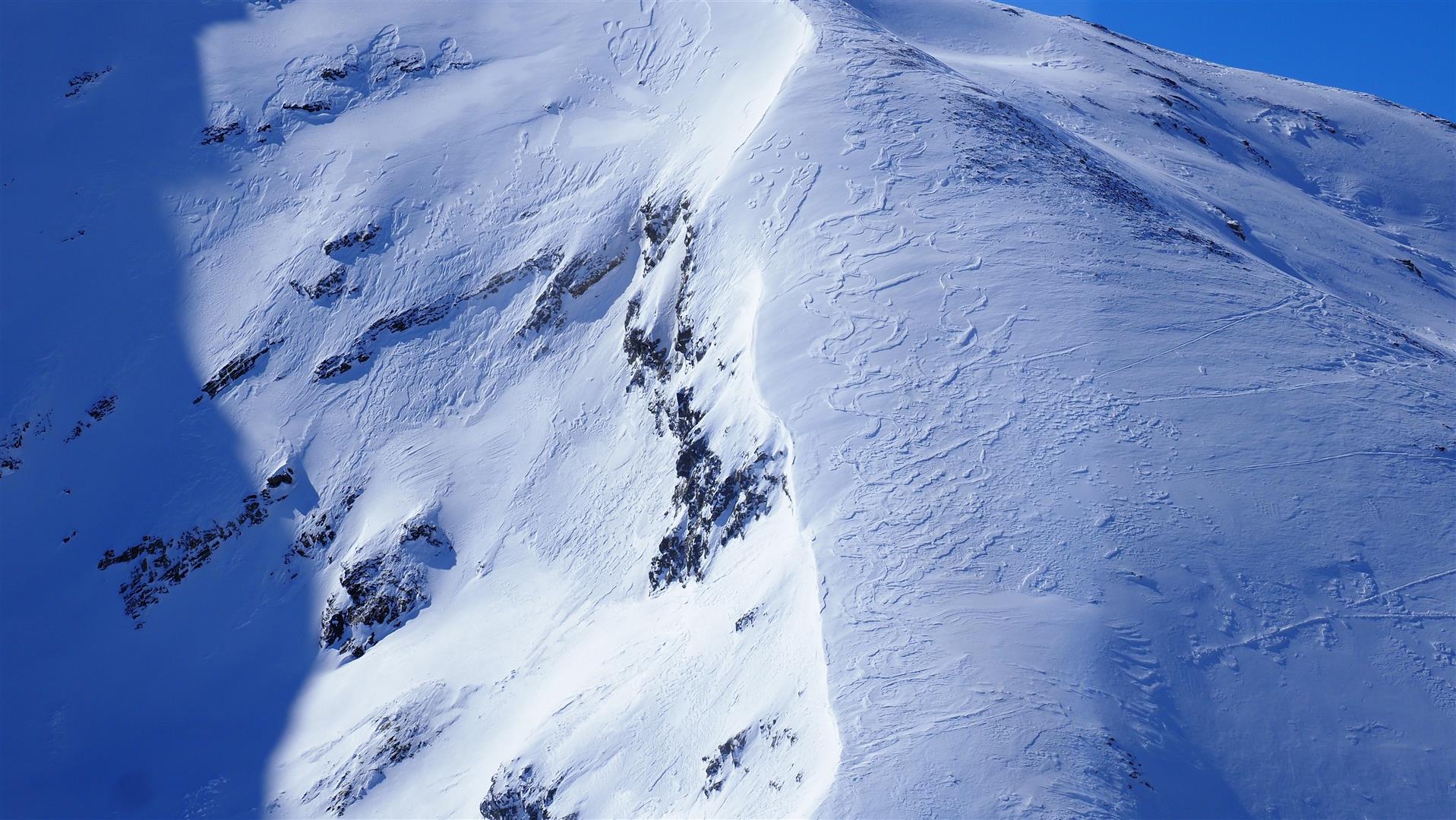
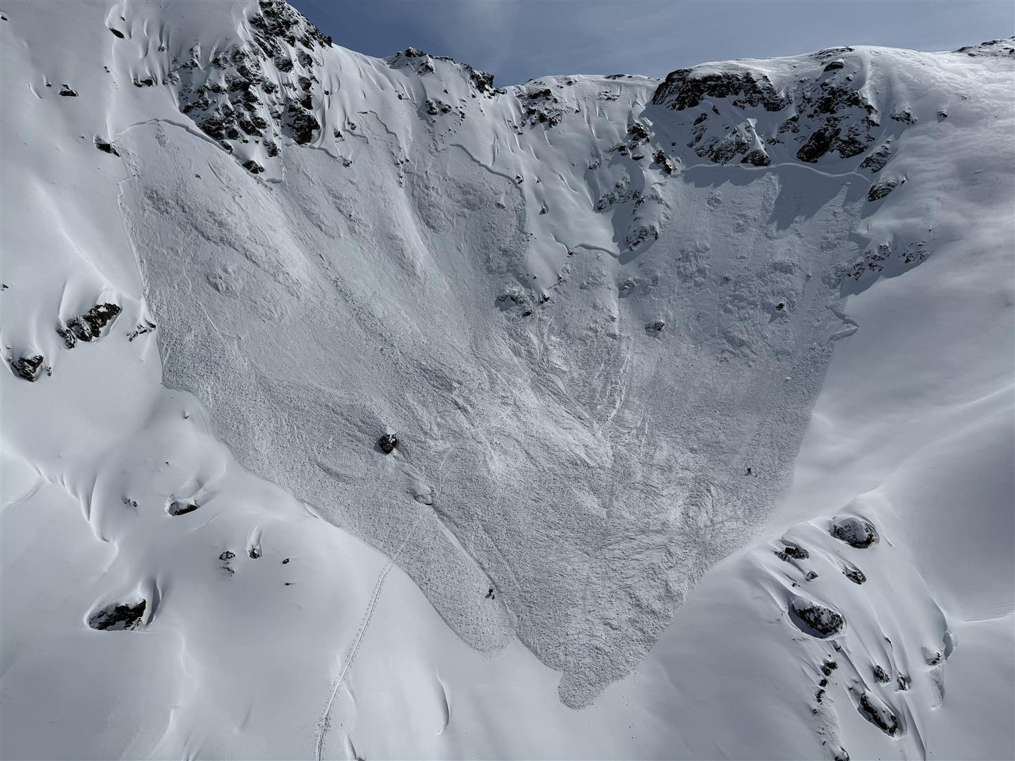
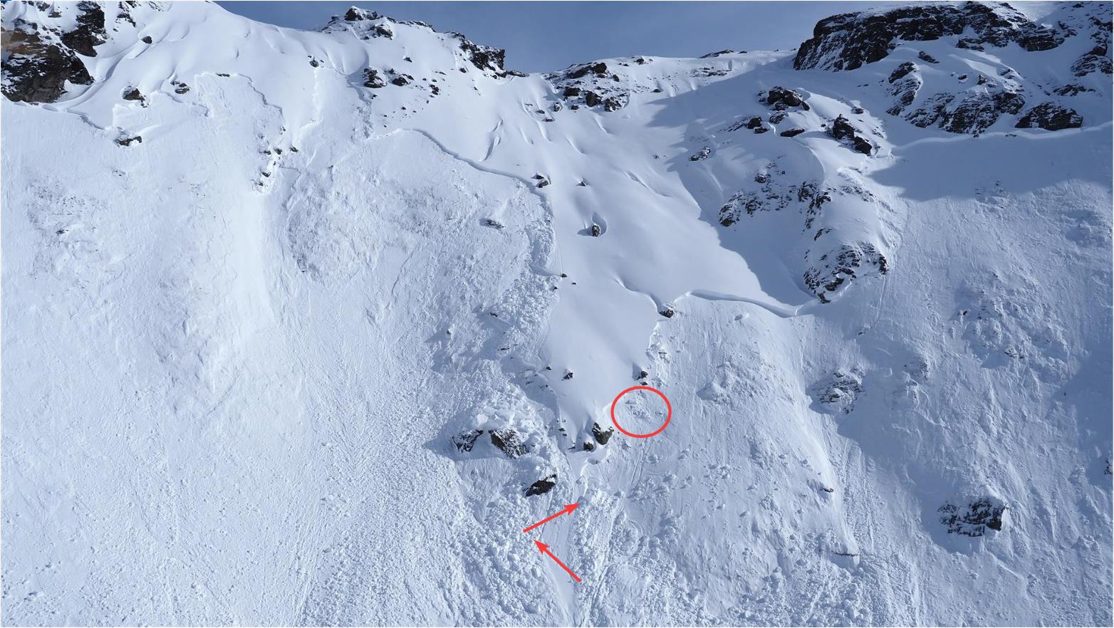
On the other hand, some reports reached us of slab avalanches triggered by persons in the near-surface weak layers, particularly on 28.03.2026. In one avalanche below the Marchkopfs, a person was killed. The overall analysis of the avalanches gives us the following picture:
Most of the avalanche releases reported were in the regions Tux Alps, Kitzbühel Alps-Wildschönau, Kalkkögel, Sellrain-Alpeiner Berge, Kühtai-Geigenkamm and Grieskogel Massif. The avalanches were concentrated on very steep west-facing, northwest-facing and northeast-facing slopes at altitudes between 2200 and 2800m.
Corresponding to the juncture of the season, some loose-snow avalanches also triggered in spite of the low temperatures. The same thing was true of gliding-snow activity following the snowfall.
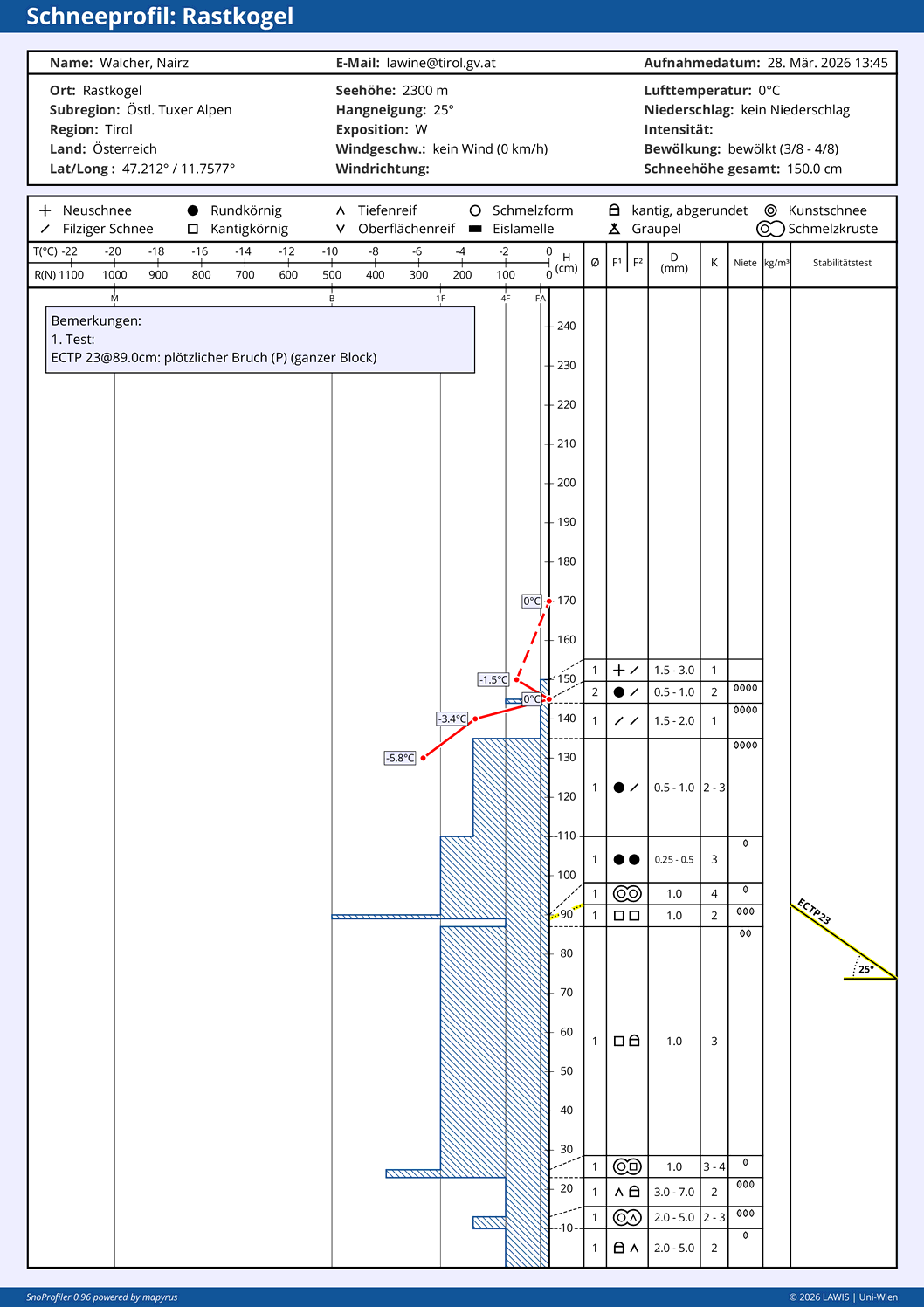
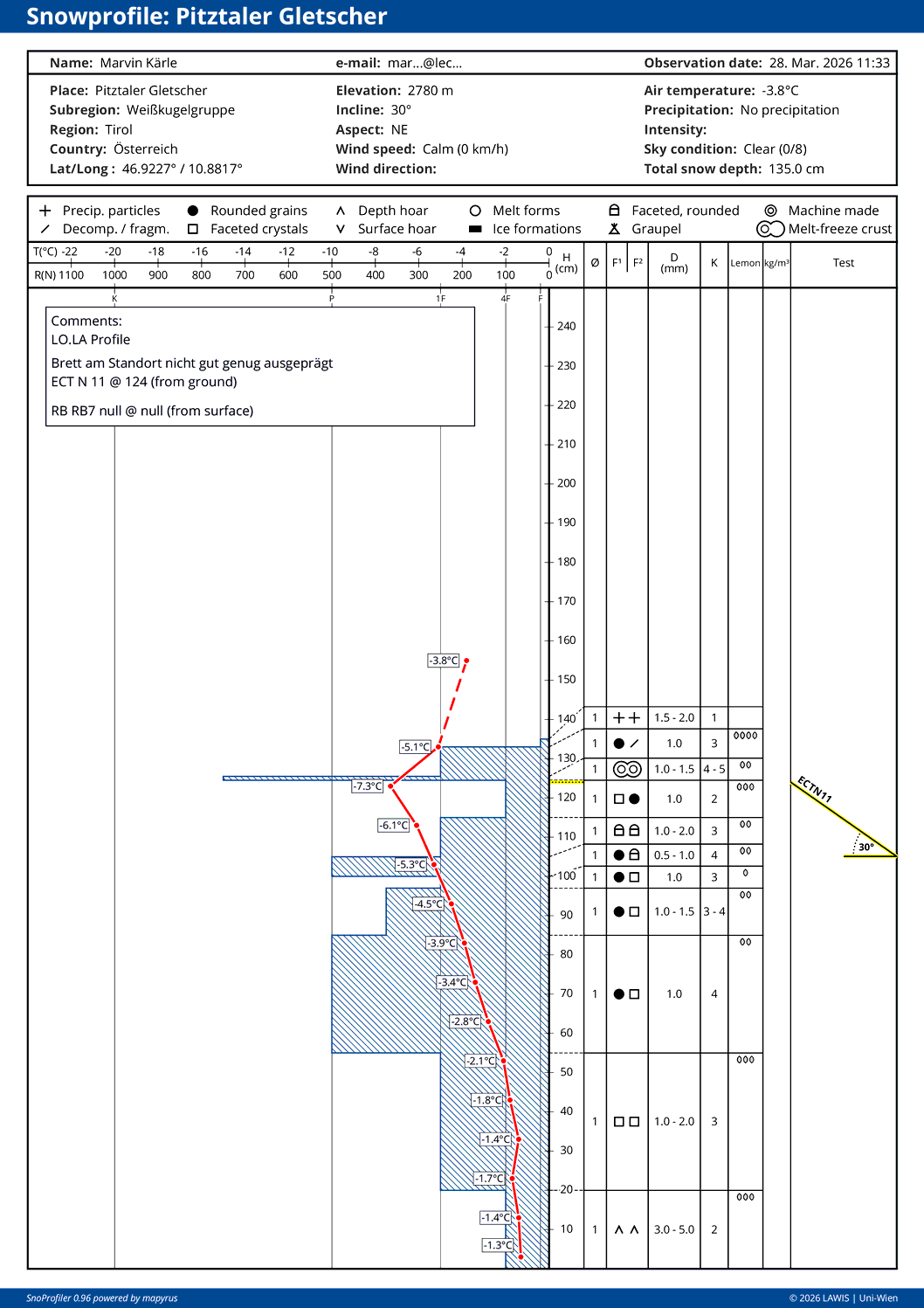
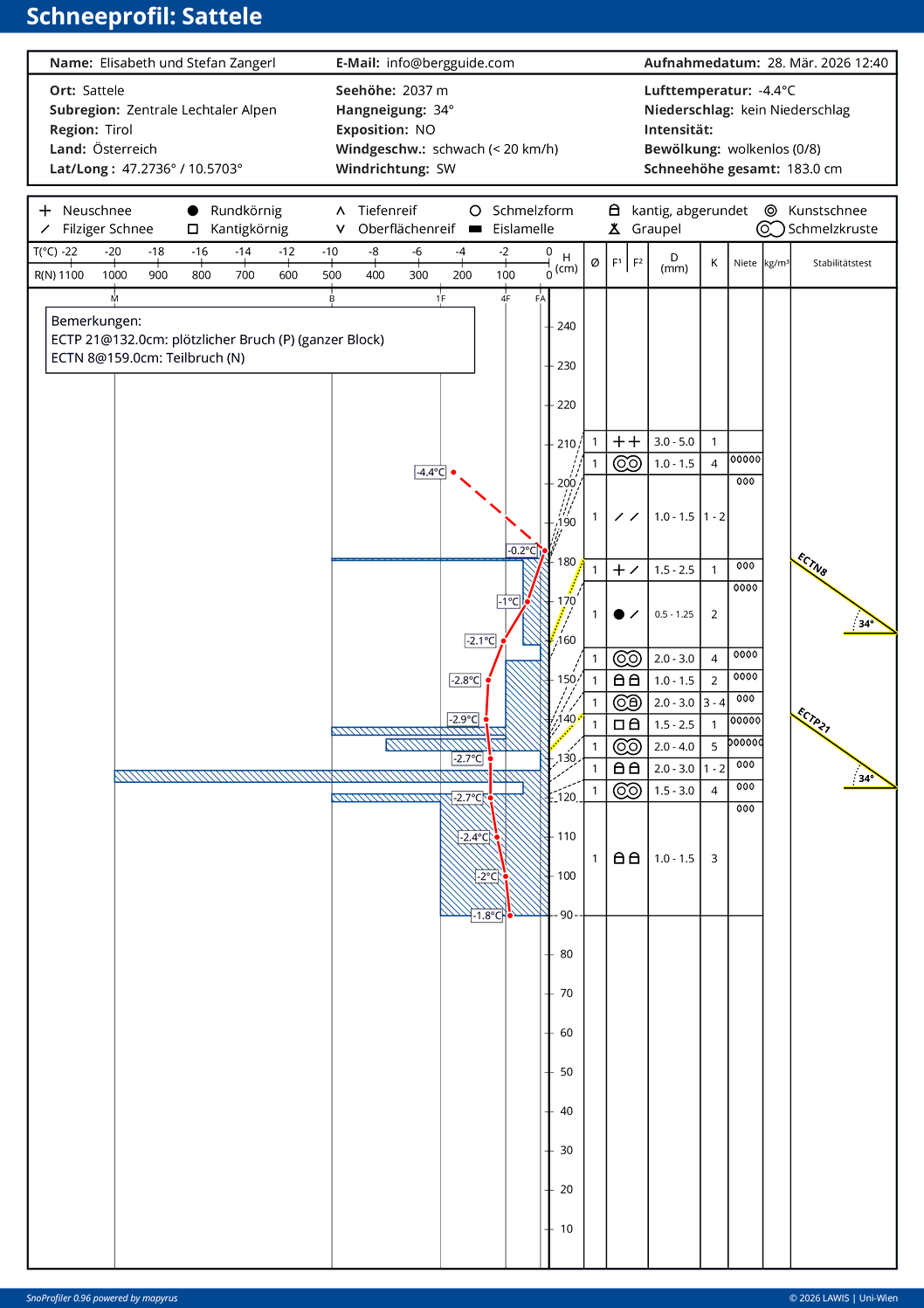
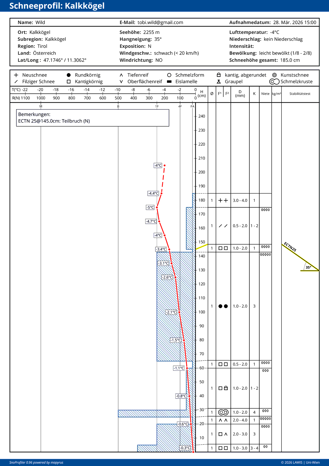
…shows that potential problem zones for slab avalanches occur in the near-surface weak layers: faceted crystals bordering thin melt-freeze crusts.
Here a selection of snow profiles:
Snow profile with a potential weak layer beneath a melt-freeze crust that formed in mid-March.Near-surface weak layer with a slab atop of it, not solid at this location.Near surface sequence of crusts and faceted crystals with potential weak layers for slab avalanches.On the other hand, the faceted layer between 60cm and 65cm (“recycled powder” from the period of fine weather in mid-March) can no longer be easily disturbed. See blog from 20.03.2026.
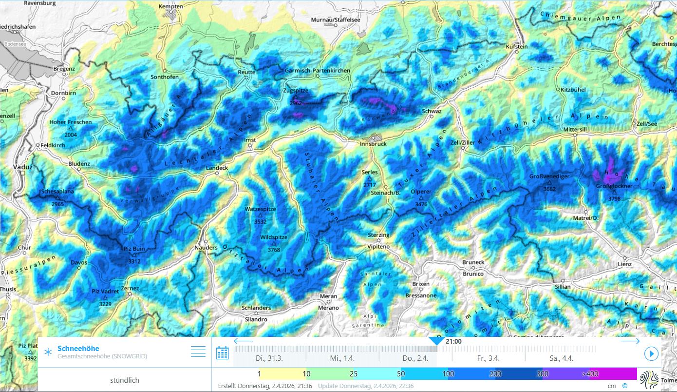
Snow distribution in Tirol
Whereas snow depths in North Tirol and northern East Tirol now correspond to averages, in southern East Tirol they lie far below average.
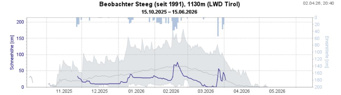
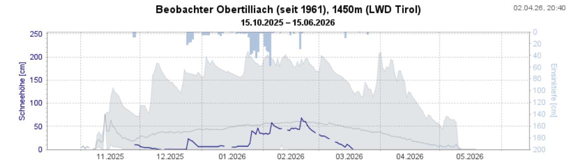
Overall snow depths map for TirolA long-term depiction of snow depths constructed by one of our observers: maxima, minima, middle values as well as the current depths. Steeg in the Allgau Alps East region. At present, we are in the long-term middle zone.A long-term picture of snow depth measurements constructed by one of our observers: maxima, minima, middle valuees as well as the current value. Obertilliach in the Carnic Alps East Tirol region. Currently, we lie well below the long-term middle zone.
Outlook
According to GSA (Geosphere Austria), air pressure will begin to rise on Friday, 03.04.2026; on Saturday a weak Atlantic front will brush us from the northwest and pass through, it will have little effect on our weather but bring a heavy burst of warm air into our midst, just in time for the Easter holidays.
The snowpack over the next few days will continue to settle and consolidate somewhat. A latent near-surface persistent weak layer problem will stay with us. It is difficult to delineate its limits precisely. We assume that at least very steep terrain will be necessary for near-surface weak layers to trigger. Such avalanches loosed near the surface can exert a sufficiently large additional load onto the now quite well encrusted (and often moistened) ground-level old snowpack fundament, so that in very isolated cases also ground-level fractures – particularly on west/north/east-facing slopes could occur.
What is certain is, the snowpack over the next few days will become thoroughly wet to an increasing degree and will weaken. We are moving towards a classic springtime situation which bears a daytime danger cycle of avalanche risks. What is most important now is to assess the situation day by day, since even tiny changes in the weather – e.g. a night of clear or clouded skies / cloud cover moving in during the day / altitude of clouds / air moisture – can have huge effects on avalanche danger, both in positive and in negative ways.
The whole team at the Avalanche Warning Service of Tirol wishes one and all a Happy and Blessed Easter!