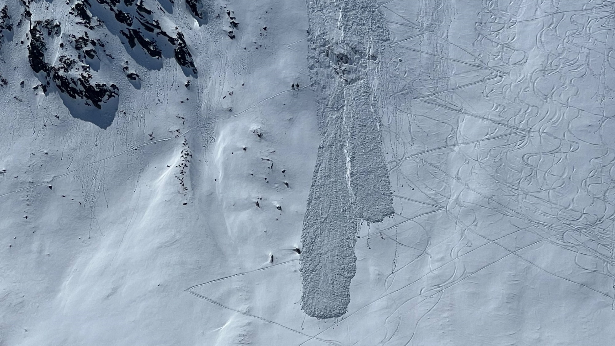
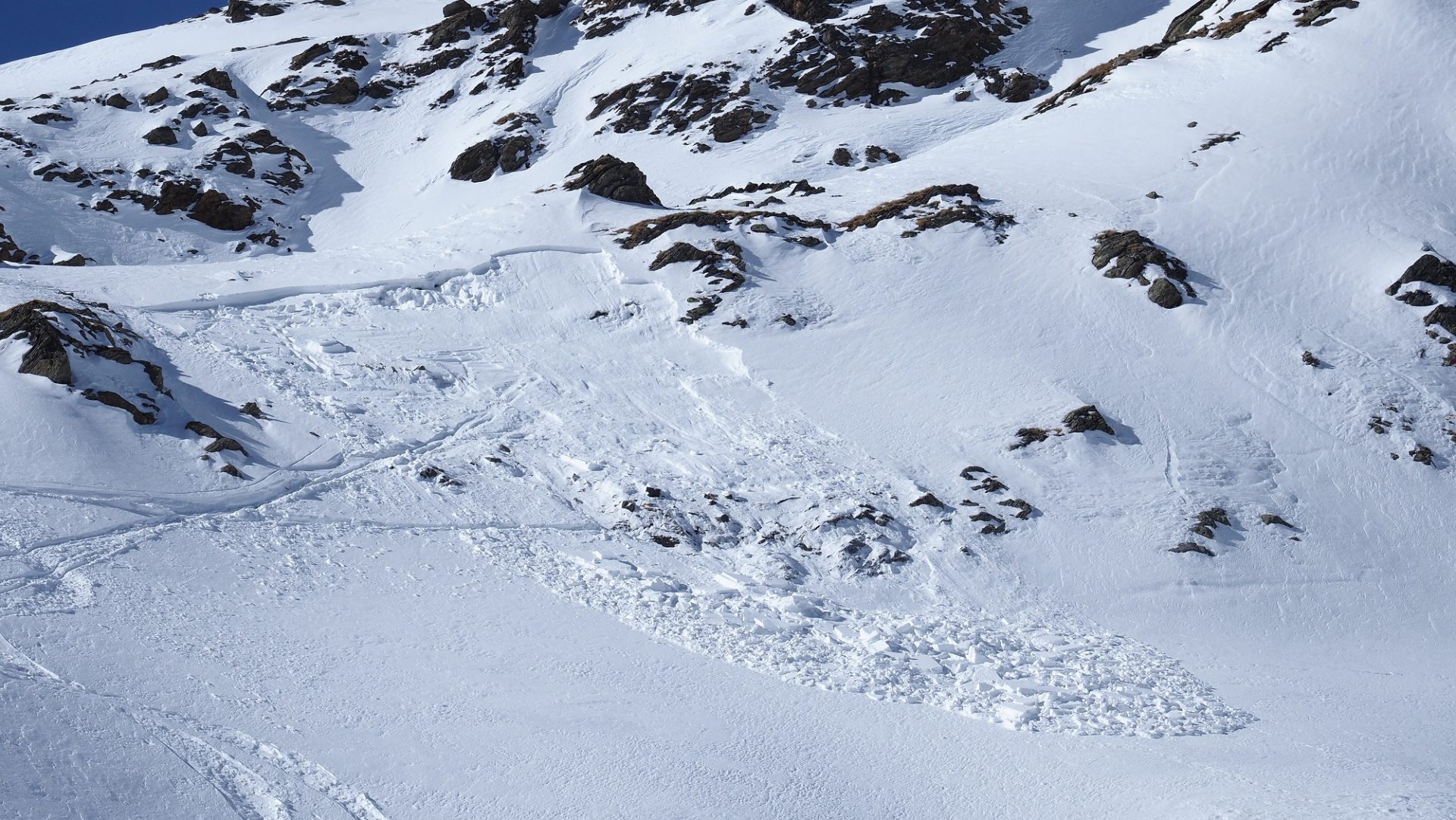
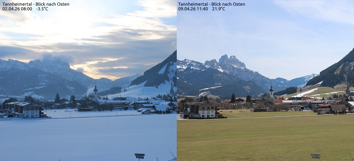
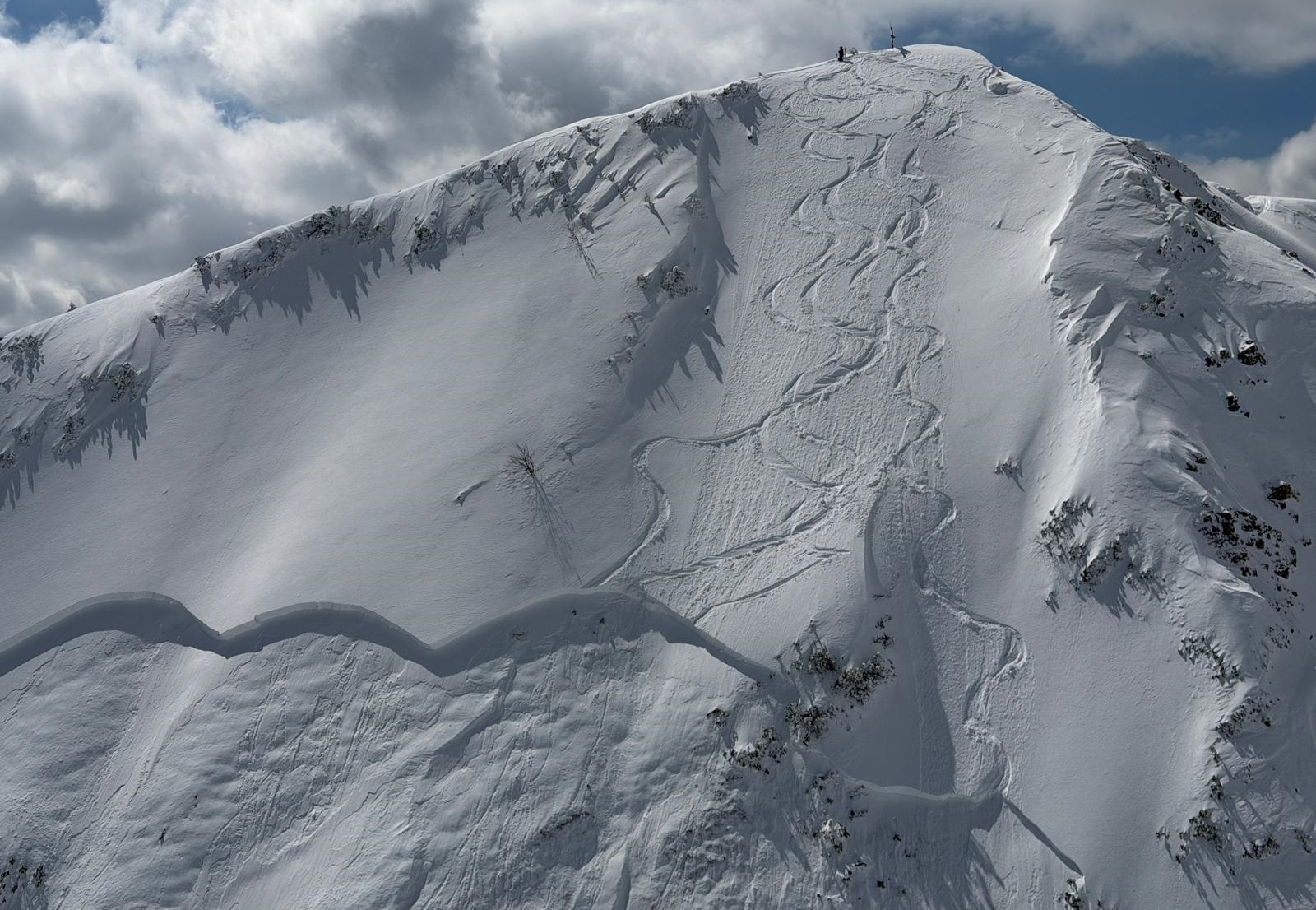
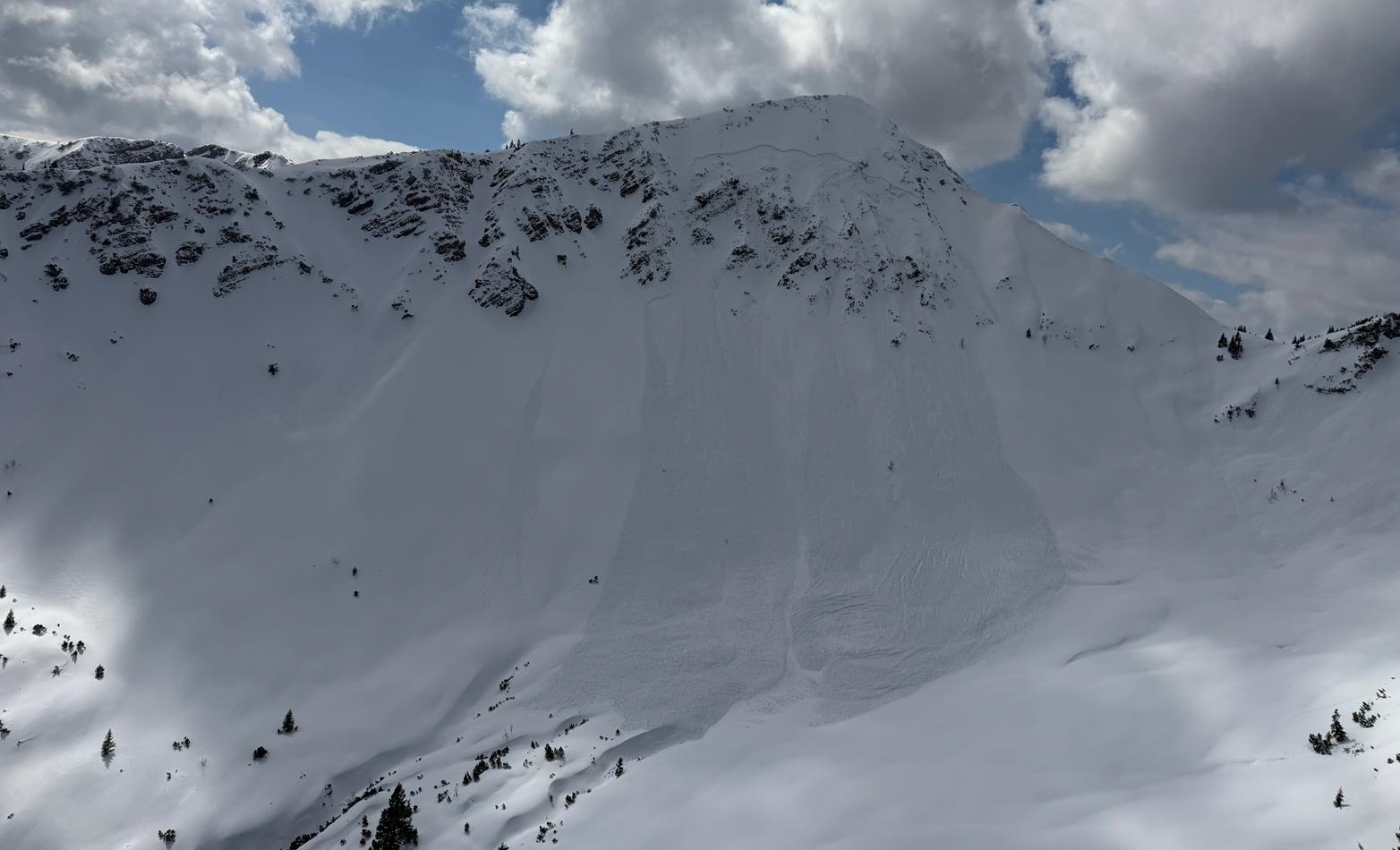
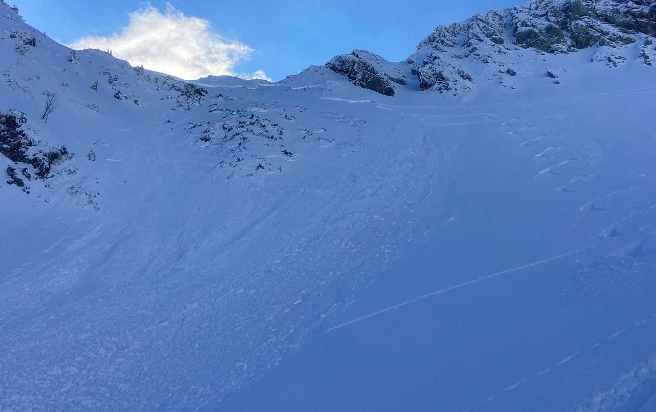
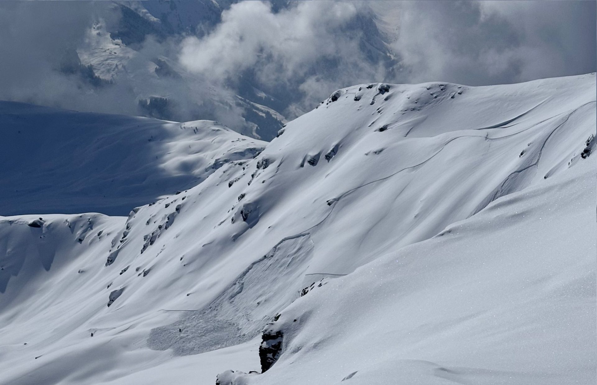
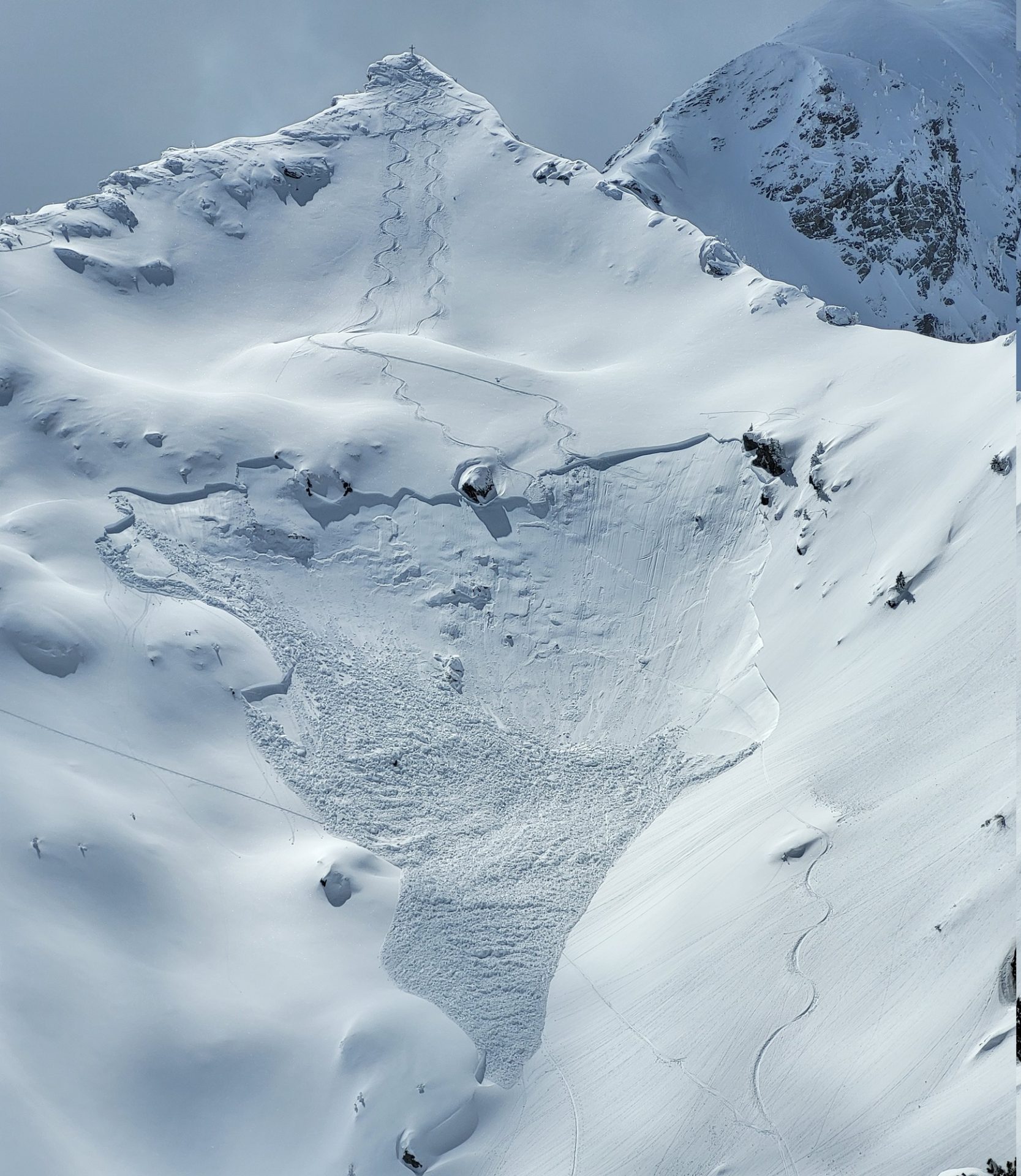
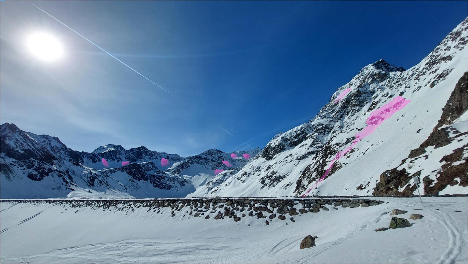
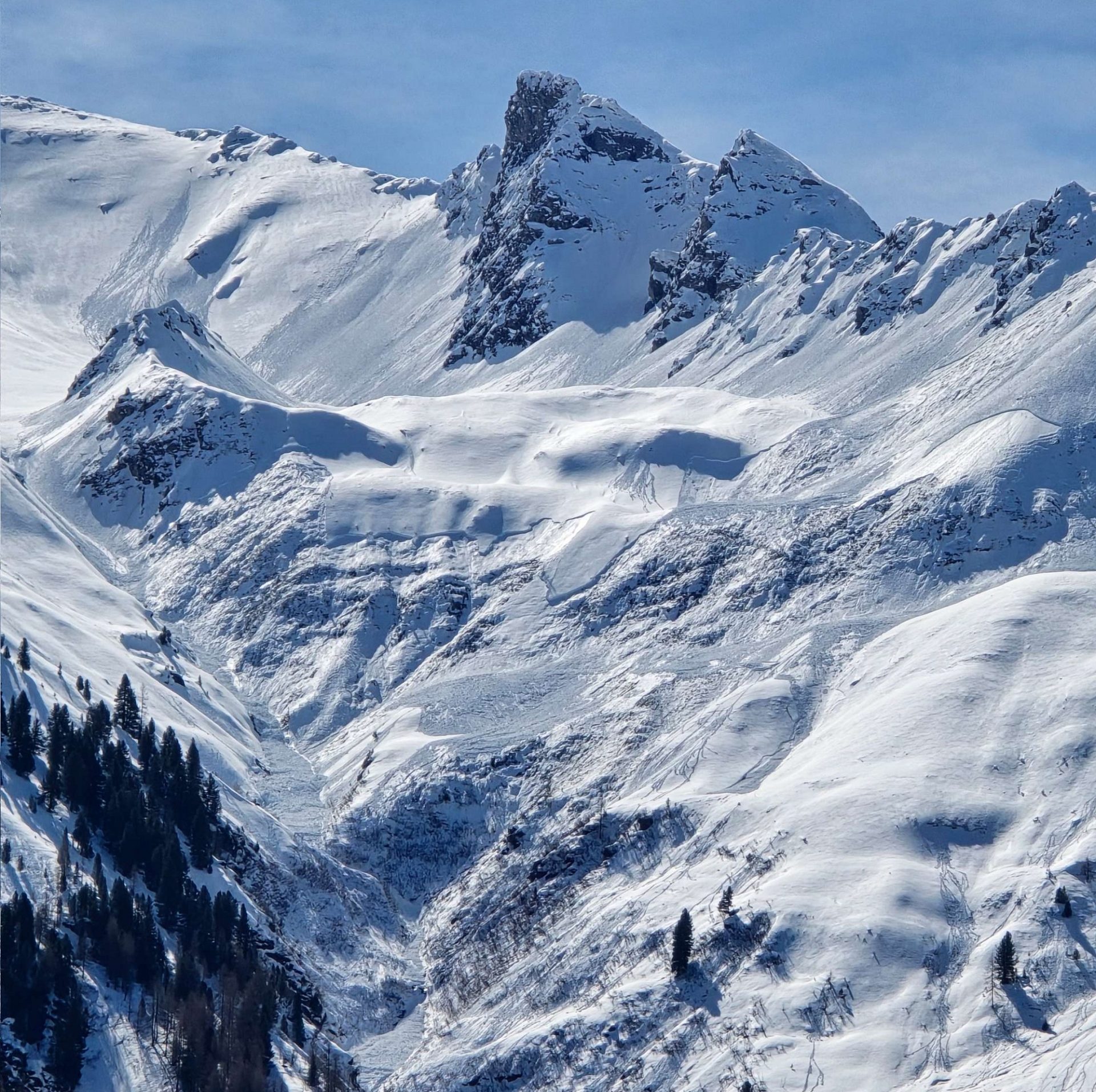
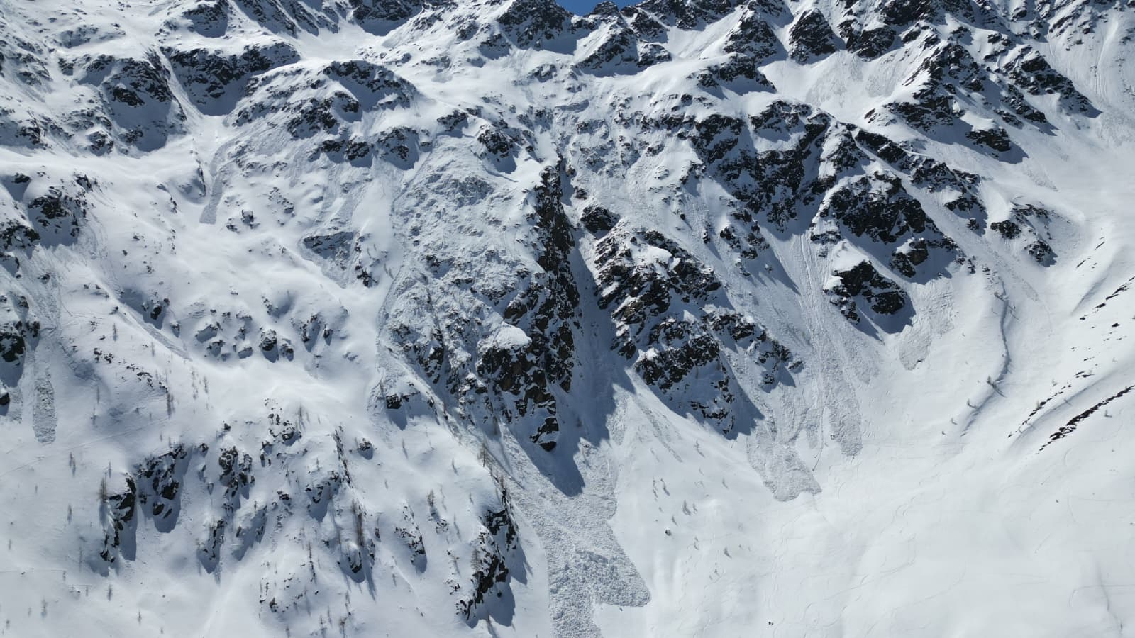
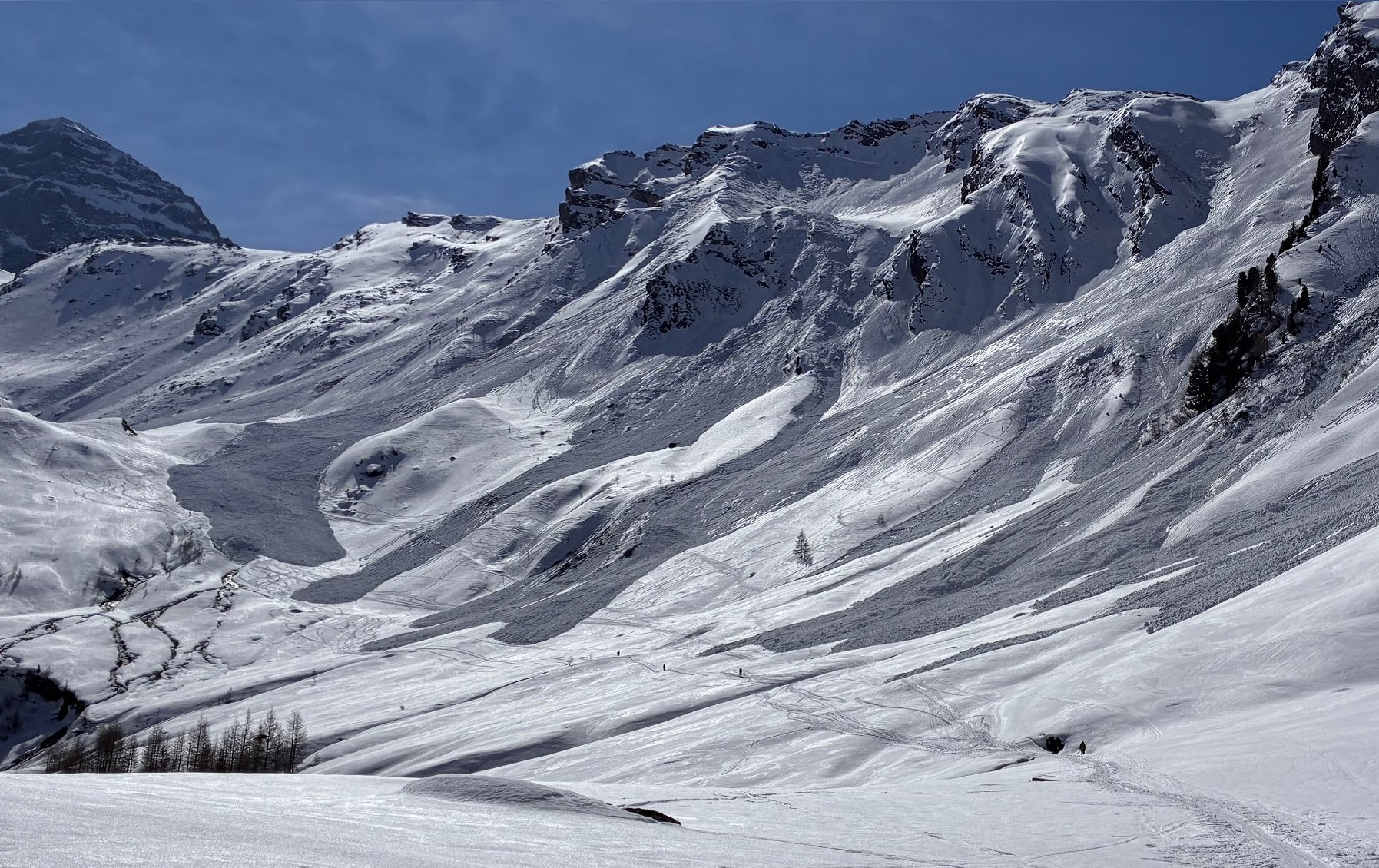
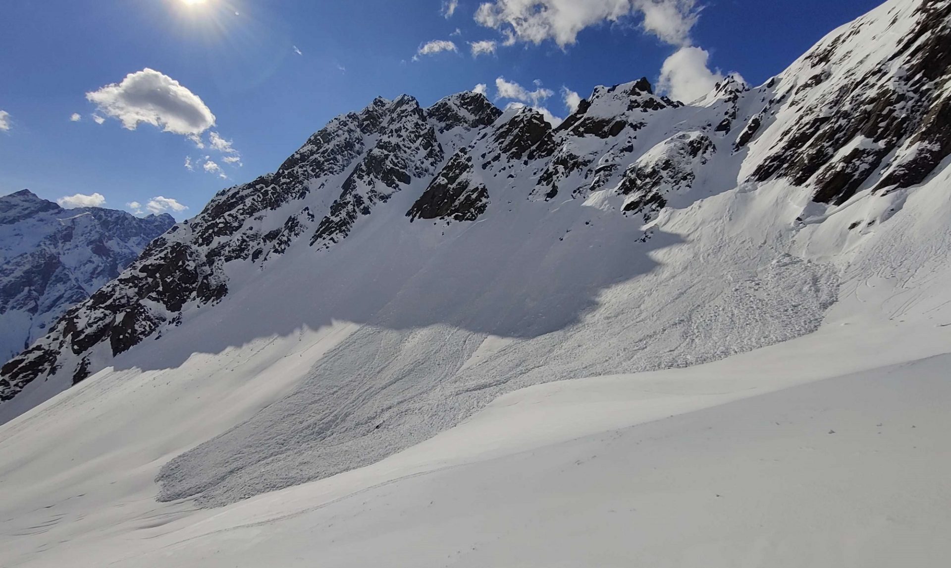
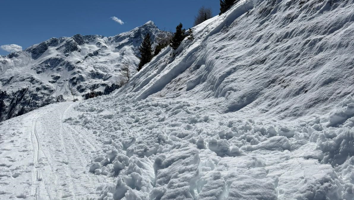
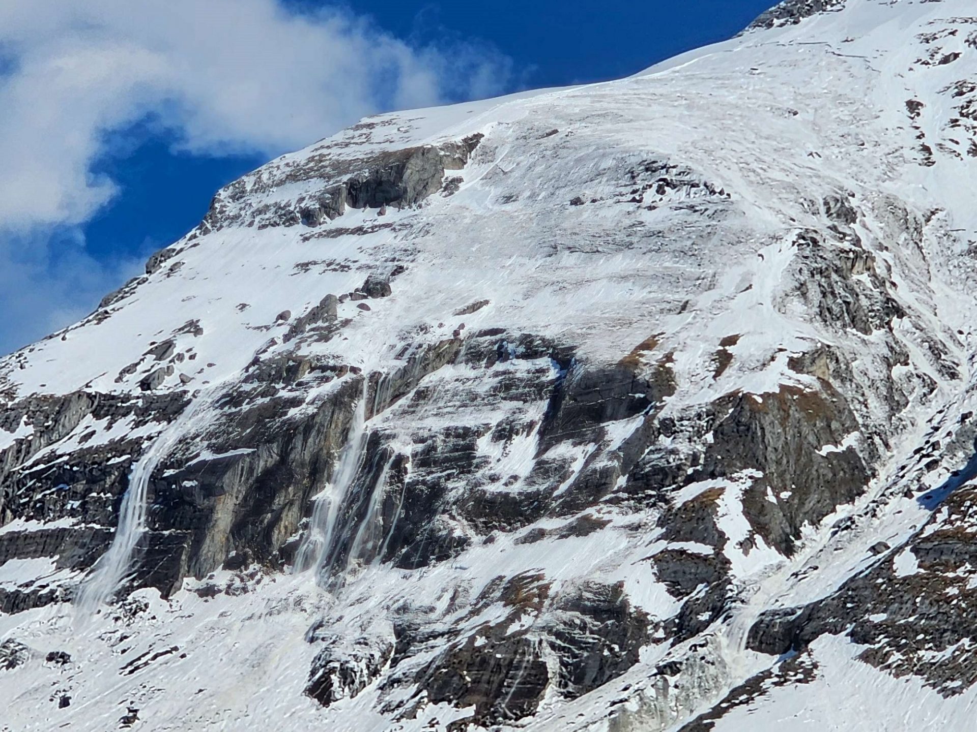
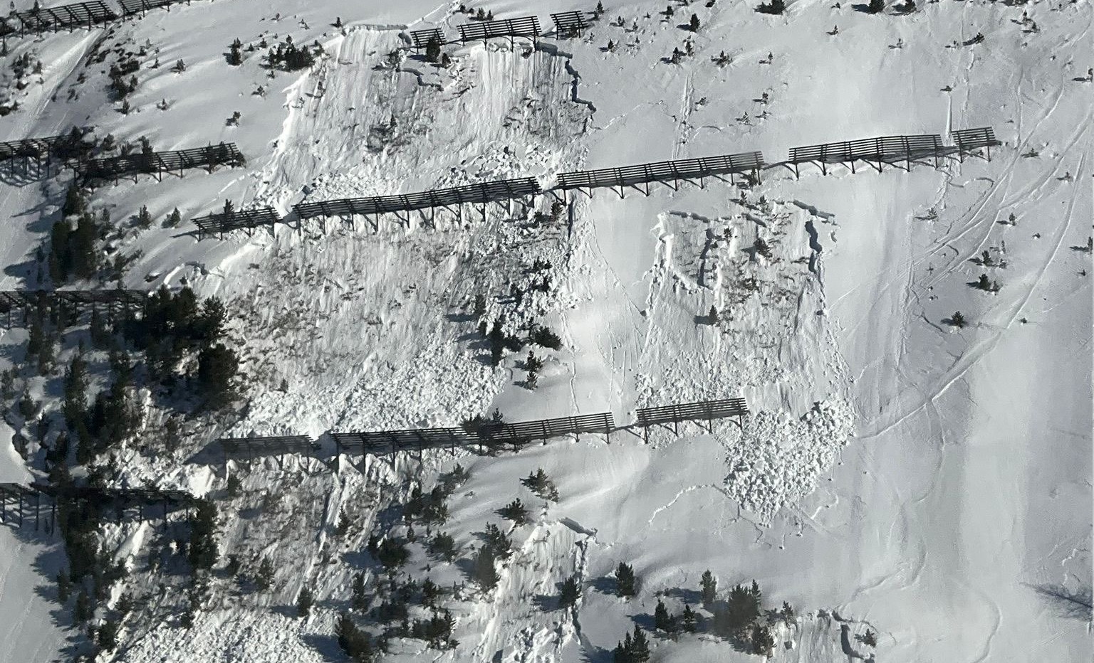
Whereas it still felt like deep winter at the end of last week, in the interim spring seems to have arrived. Warm temperatures, solar radiation are making the snowpack thoroughly wet. It is forfeiting firmness through water seepage, leading to numerous wet loose-snow and slab avalanches.
Also on the weekend, the springlike April weather will persist. The wet-snow problem determines avalanche danger.
The developing situation
Highly varied weather conditions
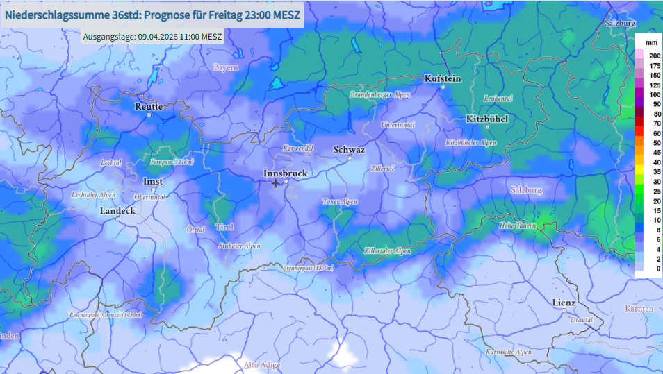
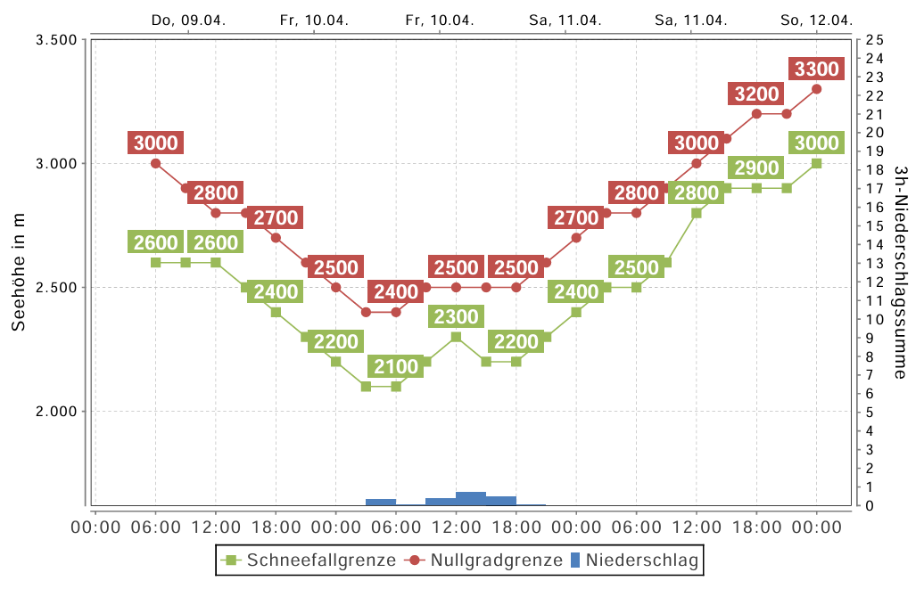
On Friday, 10.04, a weak cold front brushes past Tirol. Skies are often overcast, there is intermittent minor snowfall on the northern flanks of the Main Alpine Ridge. The snowfall level lies at 2200-2500m. The following night is mostly cloudy, seen from today’s perspective, the snowpack’s outgoing longwave radiation is limited. On Saturday, high-pressure front conditions predominate: brilliant sunshine, rising temperatures (the zero-degree level rises to nearly 3000m).
On Sunday the pleasant conditions continue, although the air is less stable and isolated showers during the daytime seem possible. As we move into the new week, weather is unsteady, cloudy skies return, temperatures recede.
To what altitudes the snowfall level rises and how much precipitation actually is registered is determined on Friday, 10.04, by just how wet the snowpack becomes. During the following night, cloudiness seems in the offing with limited outgoing radiation – that’s the only way a thin melt-freeze crust can be generated. And when next day solar radiation and daytime temperatures soften that up, the snowpack will become wetter and wetter still.
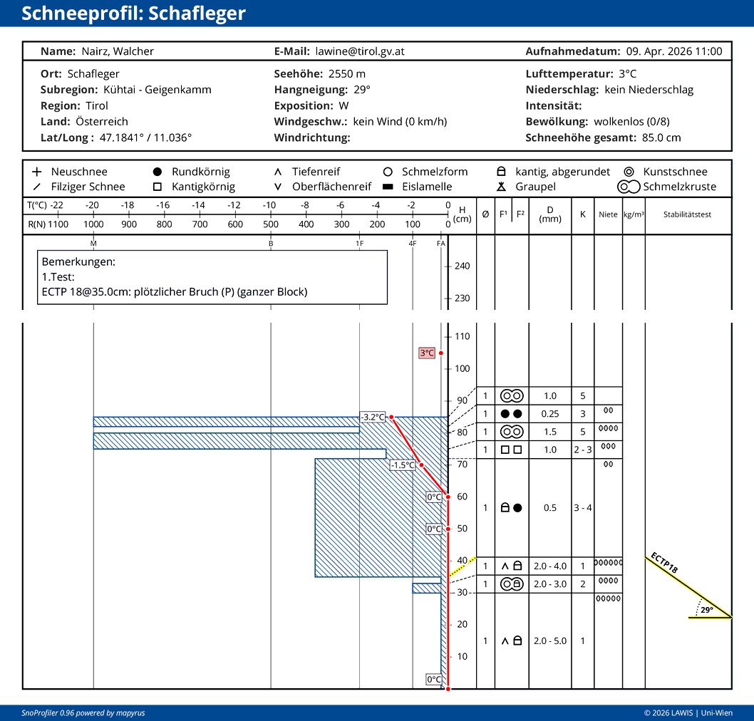
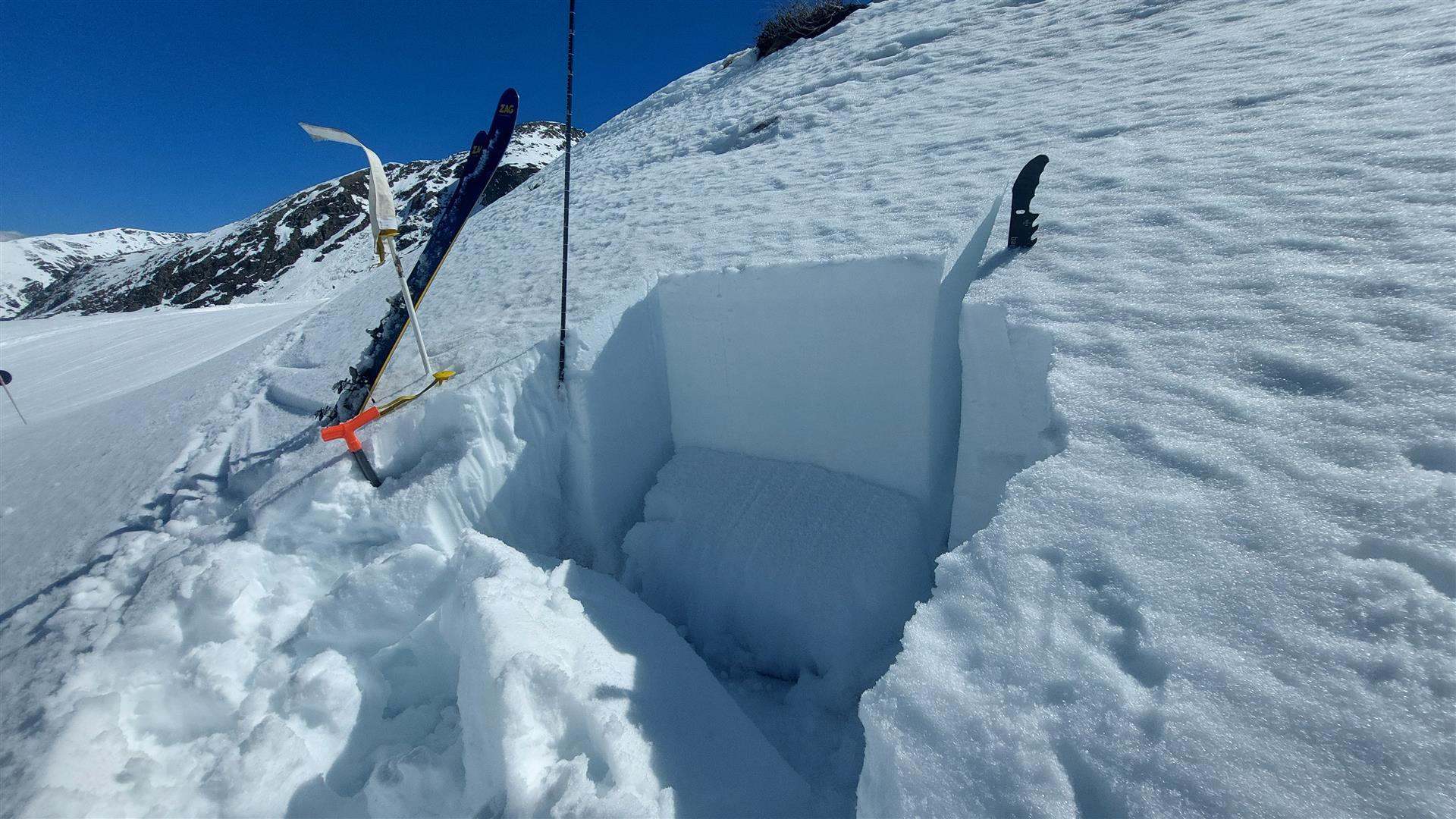
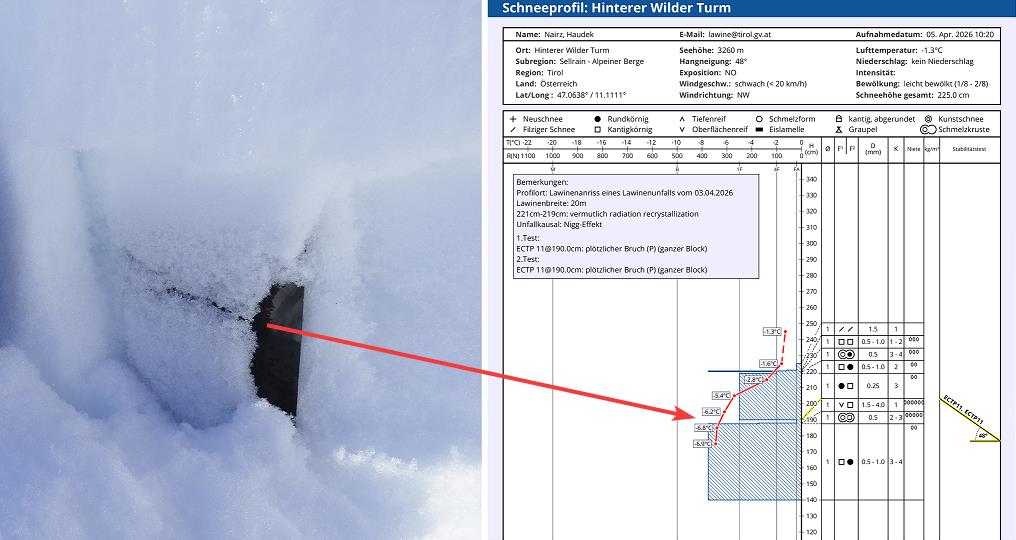
These conditions cause the marked weak layers deep down inside the snowpack to become thoroughly wet for the first time, depending on altitude, aspect and steepness. This wetness weakens the bonding between individual crystals and thus, heightens the likelihood of wet slab avalanches triggering. Observations of the last few days show that the snowpack on northern flanks is currently moist down to the ground up to about 2200m, on west-facing and east-facing slopes up to nearly 2500m. All in all, it is the steep west, north and east-facing slopes starting at about 2200m where wet slab avalanches can be expected as a result of the snowpack becoming even wetter. These are the expectations mostly because we know that the marked weak layer is widespread, in other words, is just waiting to become thoroughly wet for the first time. The question is not whether it will, the question is when.
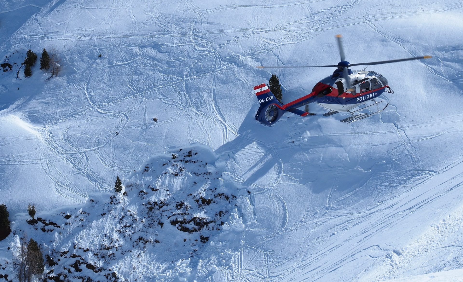
Apart from potential naturally triggered avalanches, the loss of firmness also causes the likelihood of persons triggering avalanches, of course. Please note: old tracks are not a sign of safety! The weak layer is buried deep inside the snowpack and is not influenced by any tracks on the surface. The fatal avalanche incident on Wednesday, 08.04, on the Mute in Kühtai on a northeast-facing slope at about 2250m is tragic proof of that fact. A separate blog will analyze that avalanche incident, soon to be published.
Weather developments, as described above, are and will remain highly variable. Not unusual for this juncture of the season. For an enjoyable and safe backcountry tour, weather needs to be meticulously observed: how clear were nighttime skies? How good is the melt-freeze crust which formed? How much time is there before it softens, i.e. how much time for a tour? For this type of risk management, it helps to launch the day very early. If the melt-freeze crust softens faster than planned, then it’s time to consider turning around.
A map forecasting the cloud cover can be found at the Portal der GeoSphere Austria. In early morning, also Webcam- Bilder or Stationsdaten (snow surface temperatures) are a big help in trying to assess the actual outgoing radiation which occurred.
Dry-snow avalanches in shady, high-altitude terrain
In places on very steep shady slopes above about 2600m, in addition, small snowdrift accumulations are prone to triggering. They occur primarily near ridgelines and behind sharp drops in the terrain and are quite easily recognized. They can be triggered with ease.
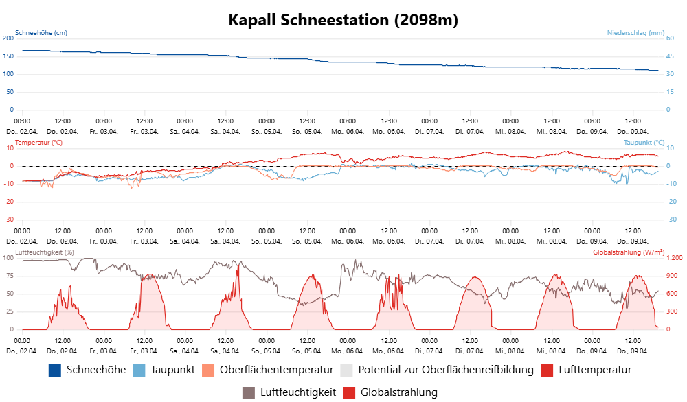
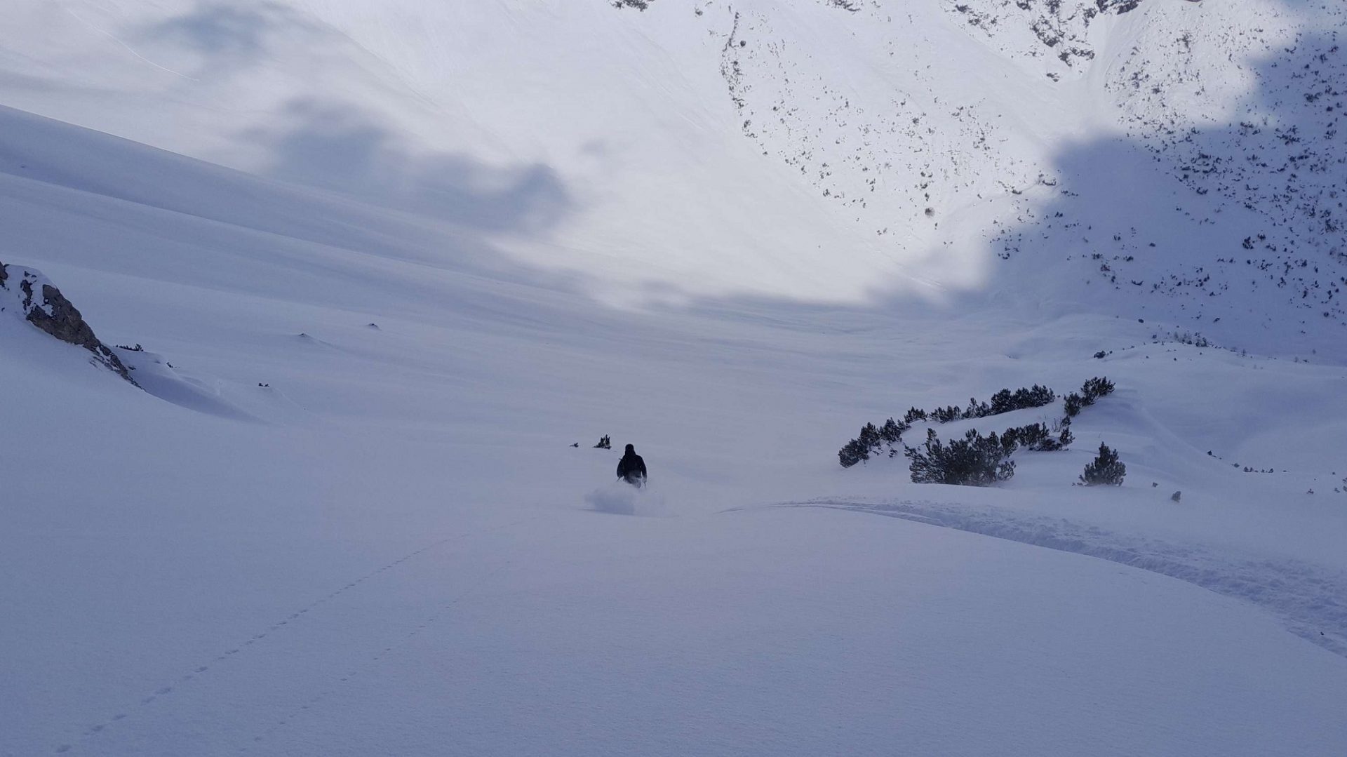
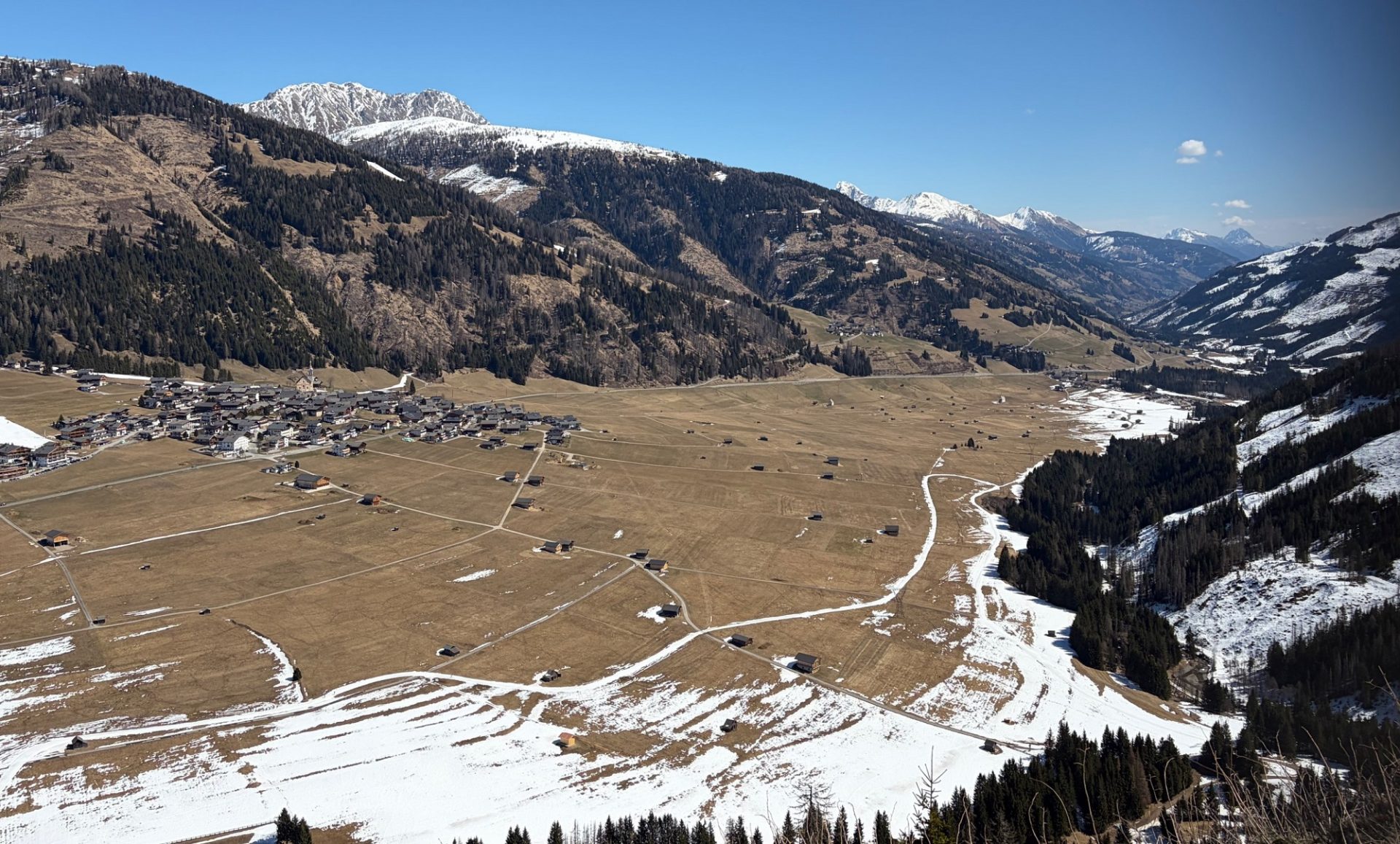
A week ago it was possible, amid low temperatures and fine powder snow down to the timberline and in places even further down, to fully enjoy the conditions. In the interim, things have changed: temperatures and the strong solar radiation corresponding to this juncture of the season have permitted us to feel the slow oncome of summer. This abrupt change has left its effect behind on the snowpack. The snowmelt led to a significant loss of snow depths, easily visible at our weather stations.
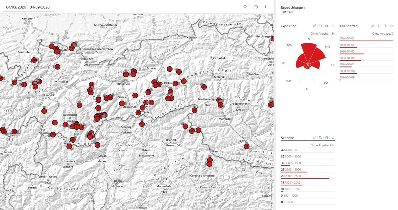
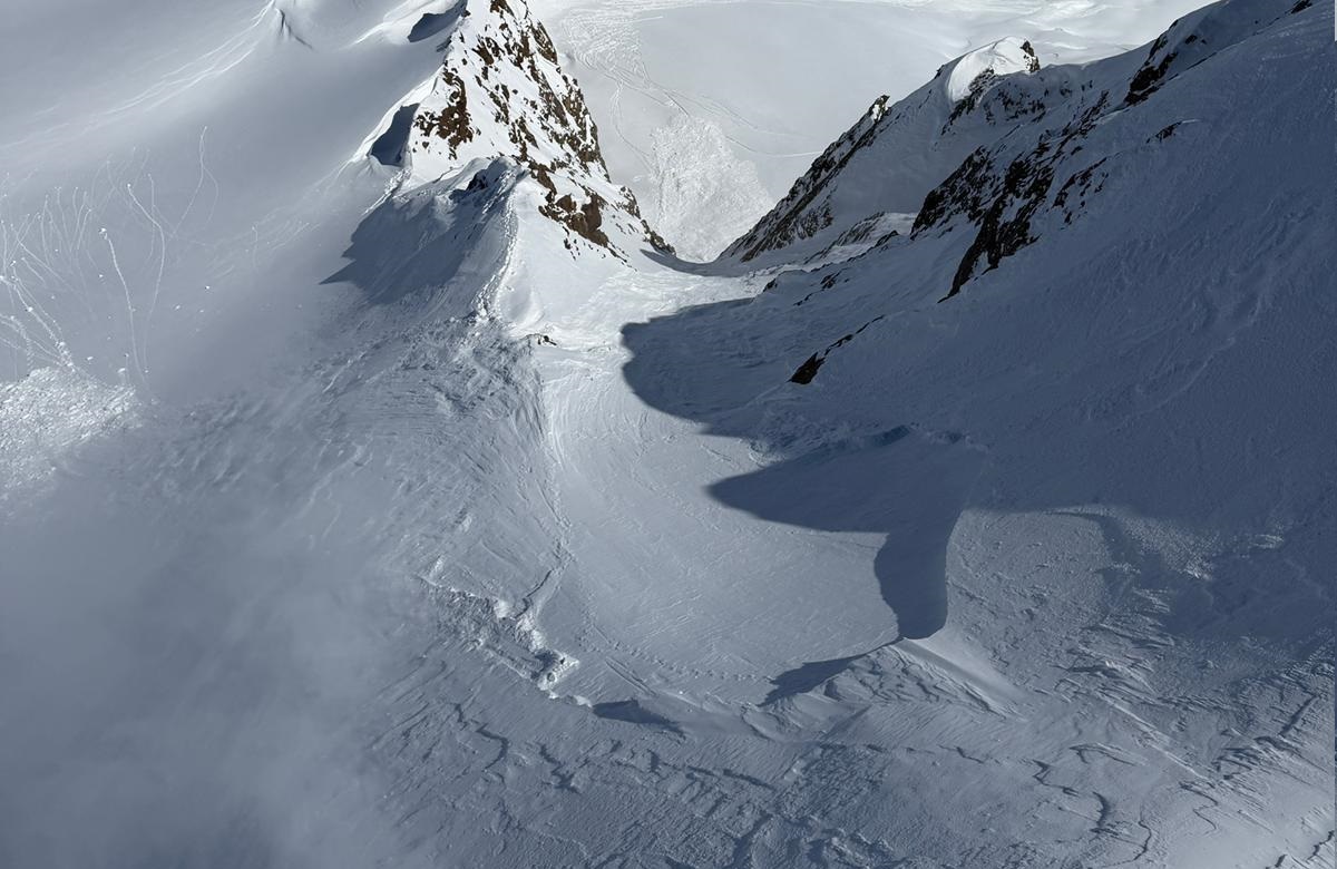
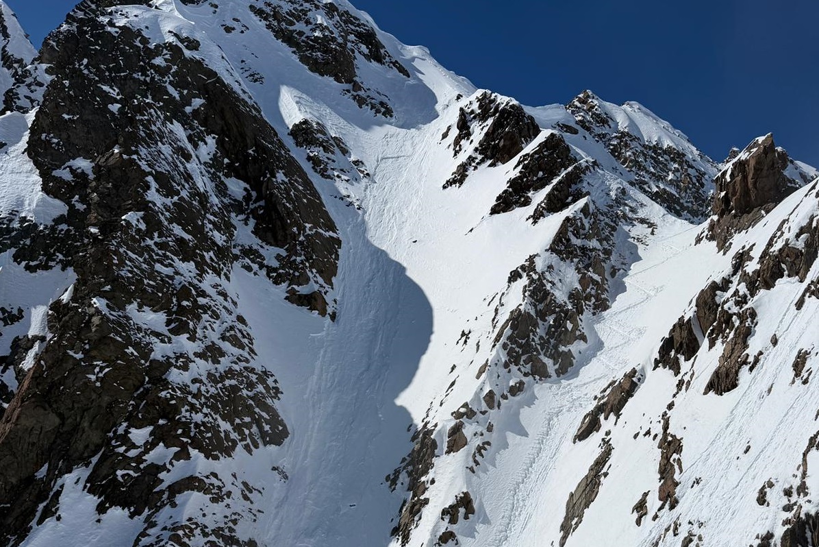
Particularly on Friday, 03.04, we received numerous reports of dry-snow slab avalanches which fractured primarily in weak layers in the form of faceted crystals or, in isolated cases, from surface hoar in the uppermost part of the snowpack. Starting on Saturday, 04.04 (at low altitudes, especially in northern regions), at latest on Sunday, 05.04, sunshine, moist air and as a result loss of firmness inside the snowpack. The result: heightened likelihood of wet-snow avalanches triggering, both naturally and released by persons.