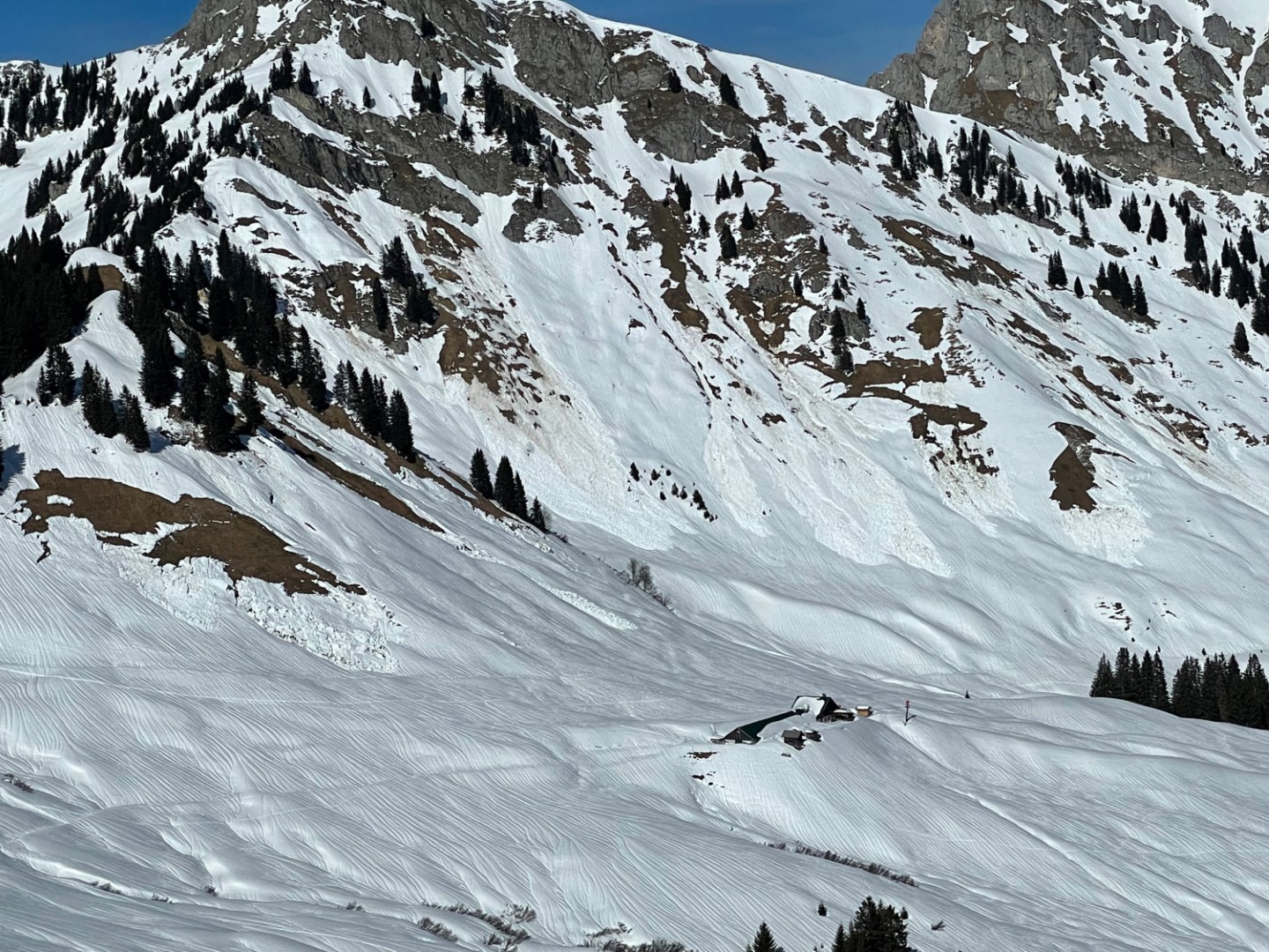
Finally, we have a long-enduring avalanche period of widespread highly trigger-sensitive snowpacks behind us. But what still remains, are several avalanche prone locations, currently primarily on north-facing slopes above 2000m (but caution also on west and east-facing slopes) where dangerously large-sized avalanches can still be triggered. For that reason, restraint is still necessary in those places.
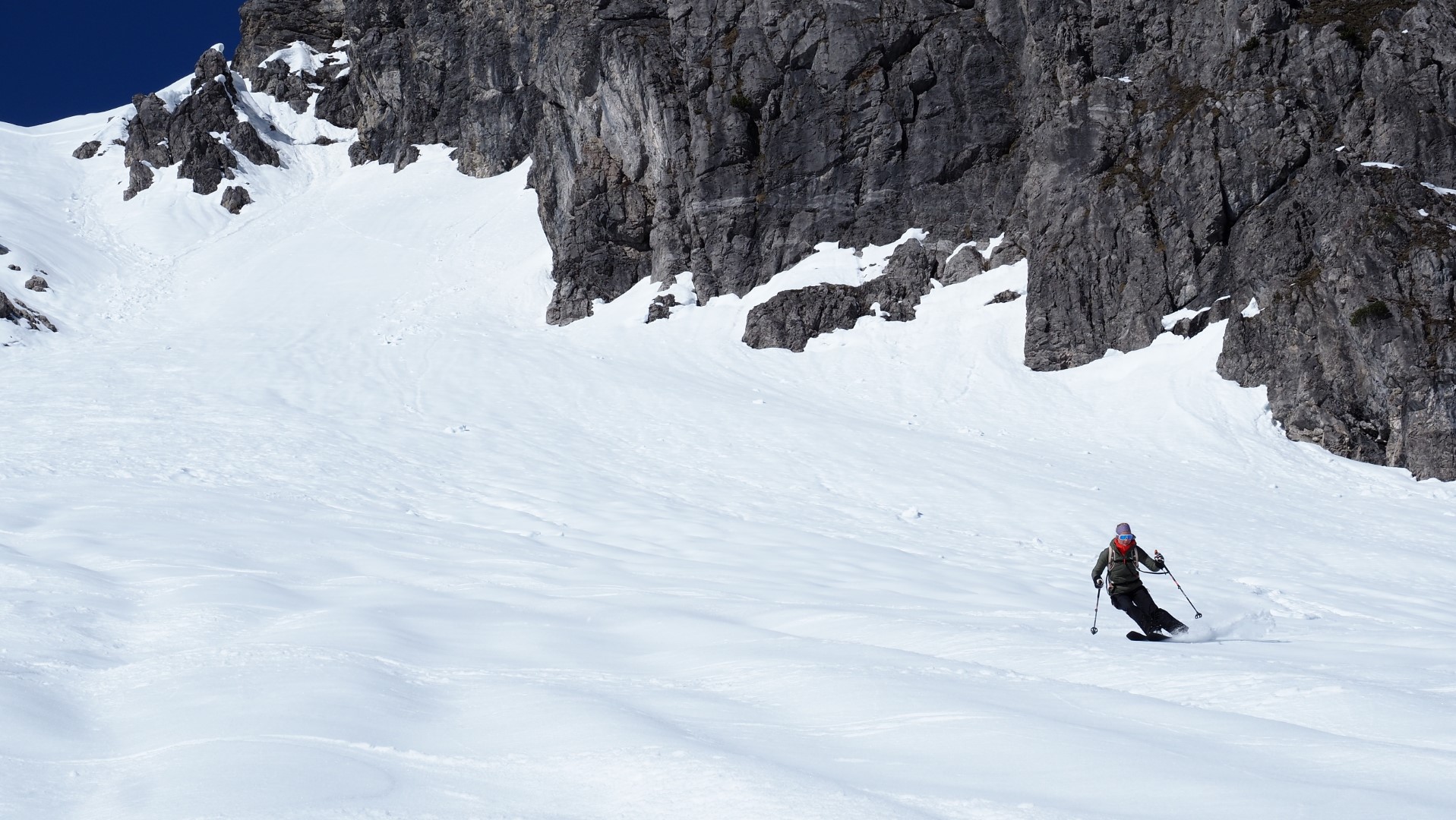
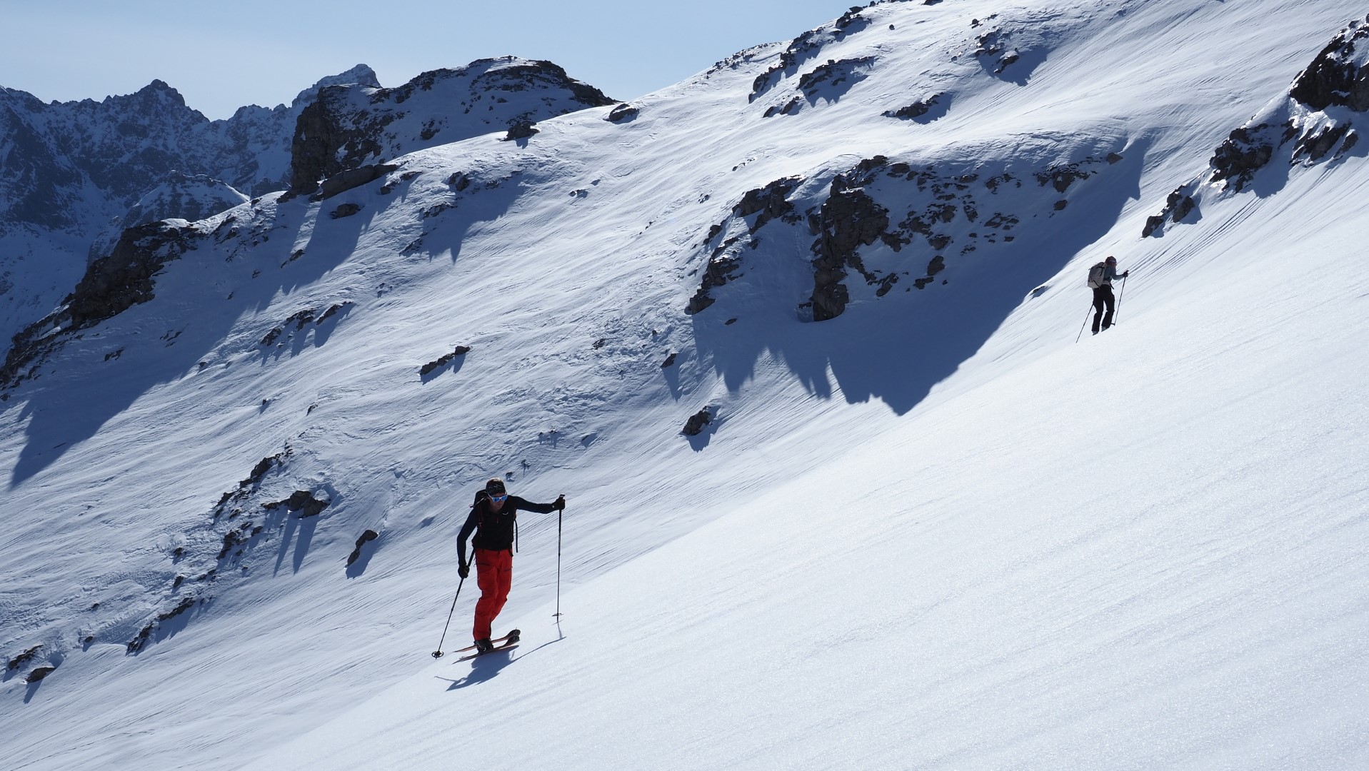
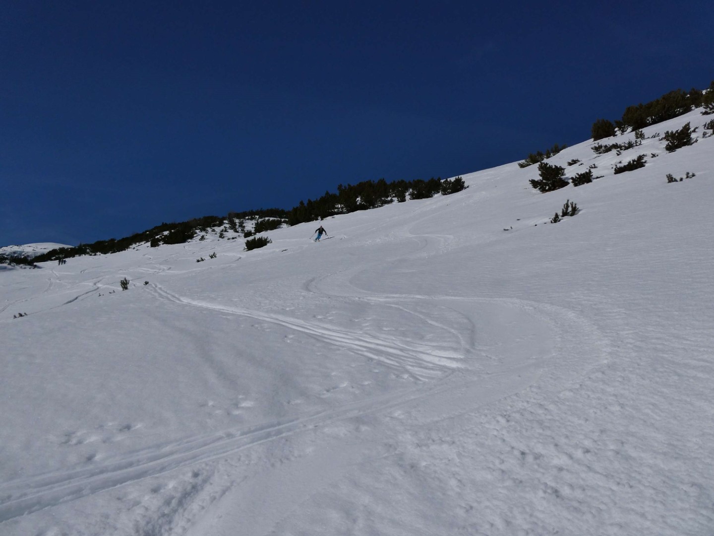
What’s positive is, spring has now moved in and is giving us top-notch firn snow conditions with joyous descents on steep sun-basked slopes. Time planning is what matters here, and caution towards the hard-frozen snowpack in early morning to avoid falls.
“Low probability-high consequence”- the persistent weak layer problem
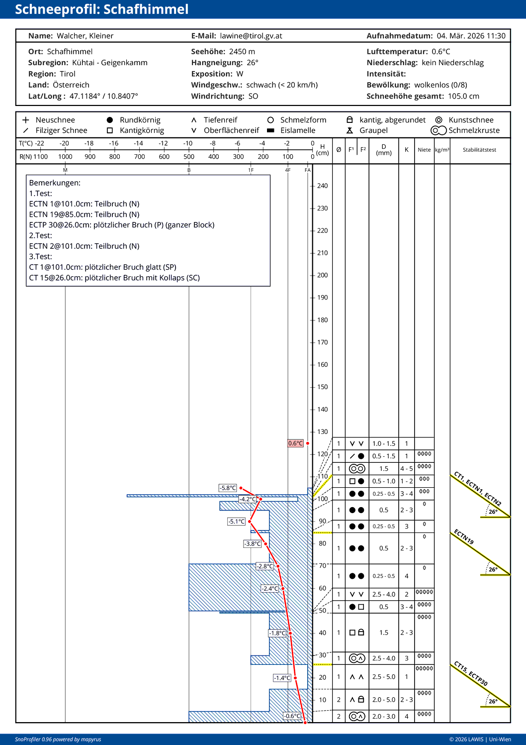
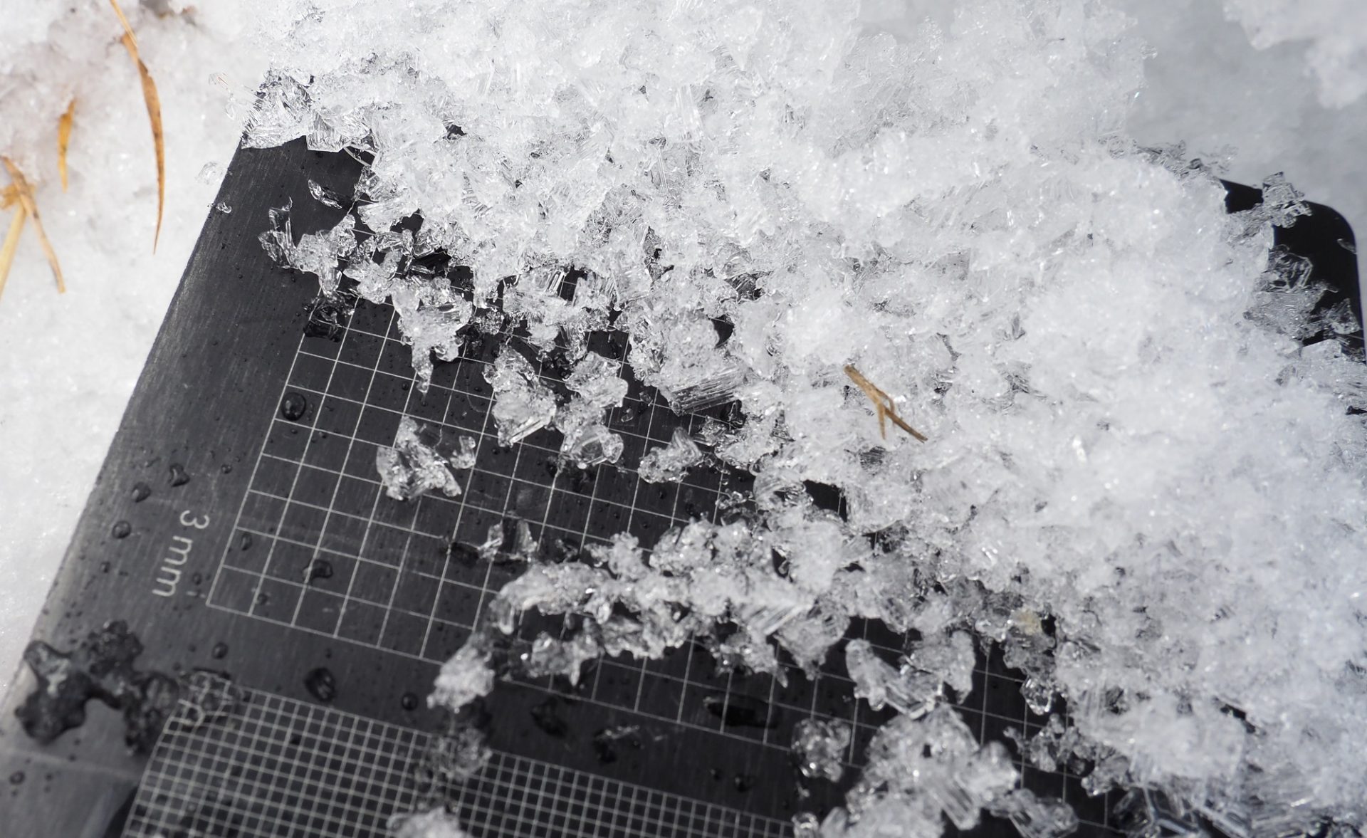
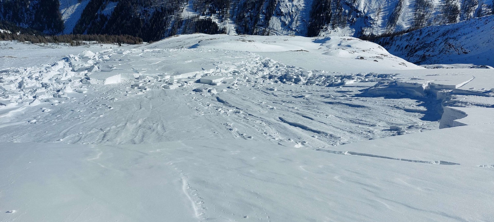
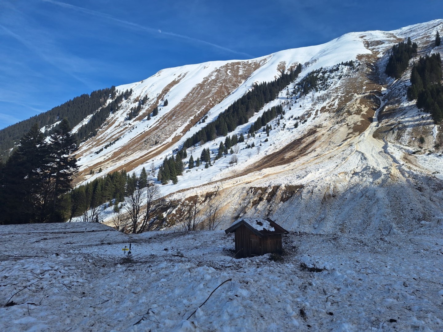
Until the start of this week, reports of fracture generation, settling noises and remote triggerings arrived ongoingly at headquarters. This frenetic activity has now calmed down. Nonetheless, even though the snowpack is steadily and gradually stabilizing, there are still danger zones where dangerously large-sized slab avalanches can be triggered. (See also the Blog of our South Tirolean colleagues on the question of whether the persistent weak layer problem will ever disappear). We are approaching a situation that we famously call the “low probability-high consequence” situation. This is a scenario, a set of conditions, in which the likelihood of an avalanche triggering is lower, due to decreasing numbers of avalanche prone locations, and yet the potential effects of an avalanche triggering are huge, due to the ongoingly far-reachingly spread ground-level weak layer. That means, there are dangerously large-sized avalanches which still endanger winter sports enthusiasts, typically Magnitude 2 – large-sized avalanches. In particular, avalanches can be triggered in transitions from shallow to deep snow.
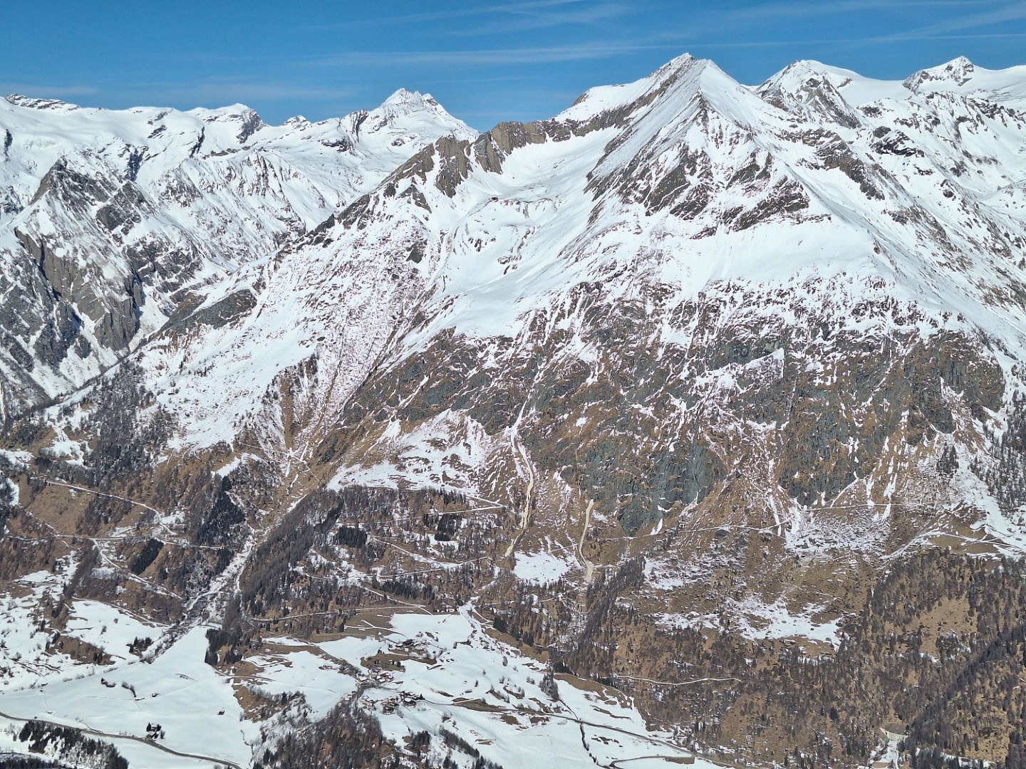
Avalanche prone locations occur on shady slopes above about 2000m (with ascending limits foreseen over the next few days). On west and east-facing slopes, likelihood of triggering depends on the daytime moisture in the snowpack – in other words, on precisely how thoroughly wet the snowpack is – because due to springtime weather conditions a melt-freeze crust capable of bearing loads has formed up to at least 2400m. This significantly reduces the trigger-sensitivity of ground-level weak layers (as long as the crust remains capable of bearing loads). On south-facing slopes, similar conditions prevail. Here we observe a ground-level persistent weak layer problem starting at about 2400m. Currently we presume a proneness to triggering that starts at about 2600m.
Brief review of the (relatively still marked) persistent-weak-layer problem until last weekend
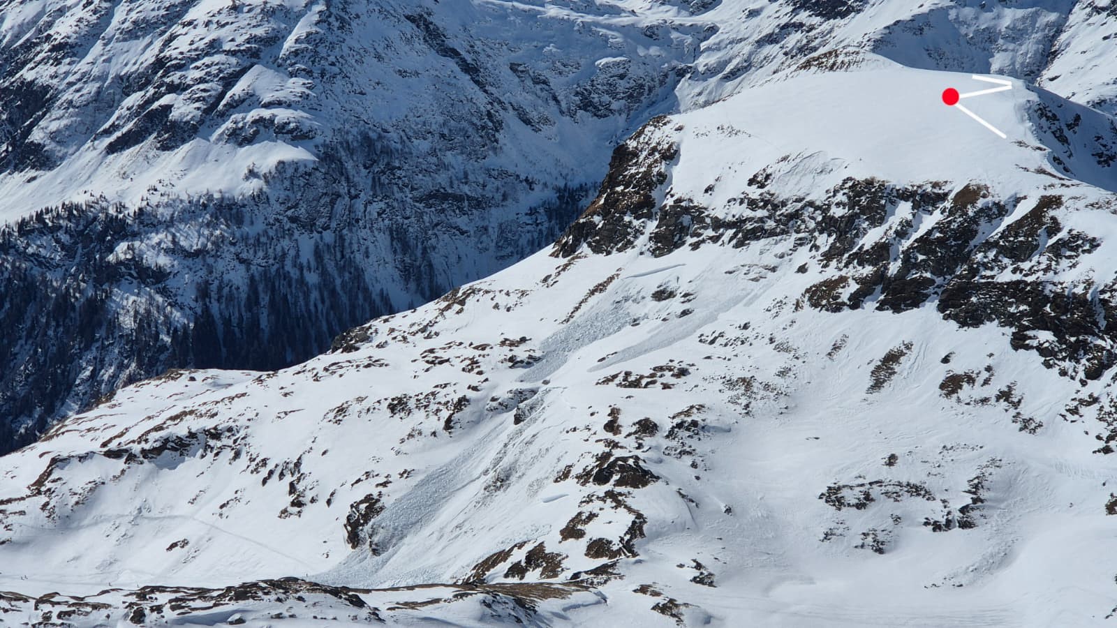
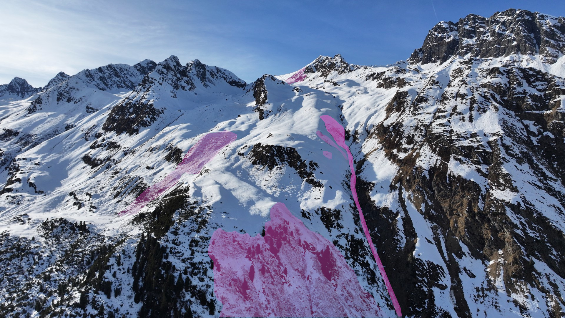
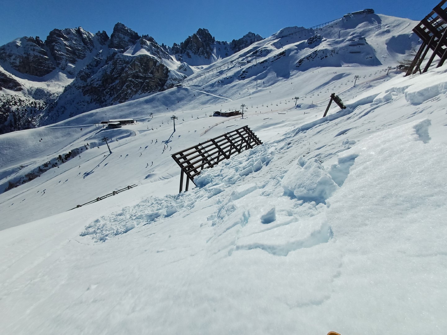
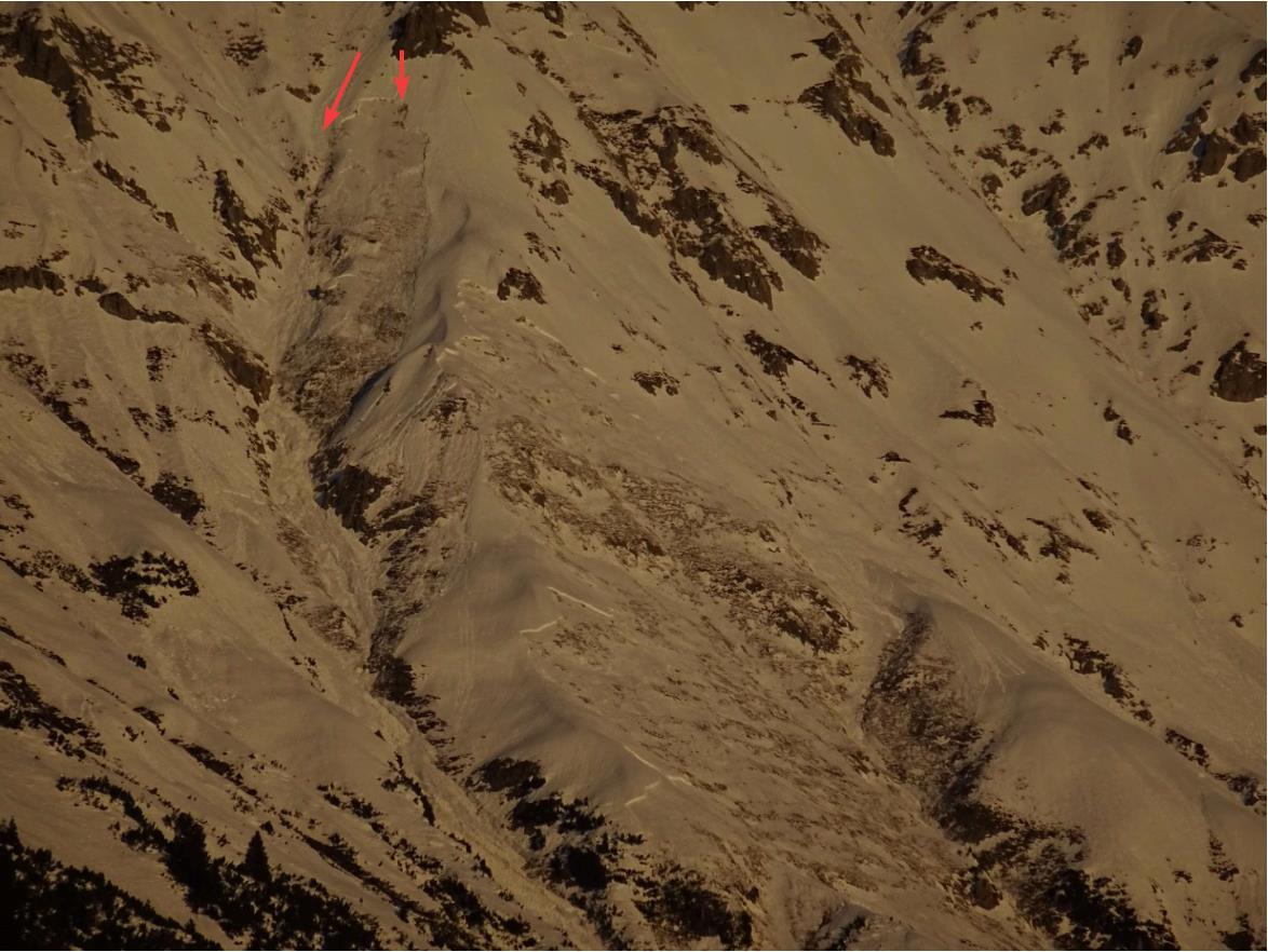
Apart from the fatal avalanche incident below the Tamilspitze in the western Tux Alps on 28.02.2026 which was analyzed in the last Blog we have since received further reports which corroborate the ongoing persistent-weak-layer problem which predominates this winter.
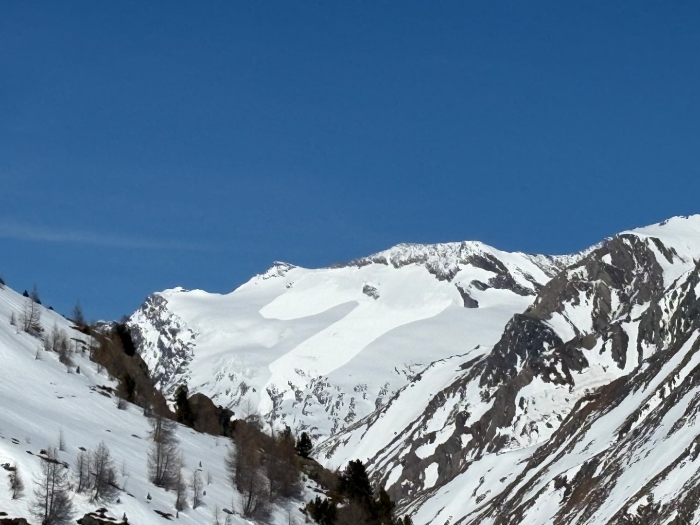
Springtime is making itself felt
Since last week, high-pressure front conditions have predominated, only slightly interrupted by a weak cold front on Sunday-Monday, 01-02 March 2026.
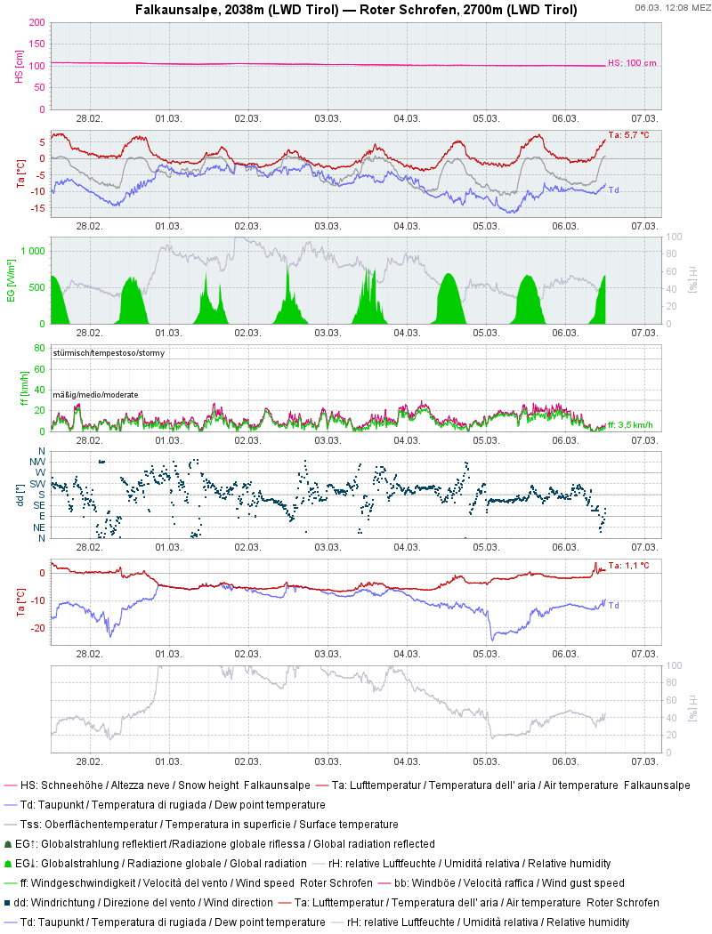
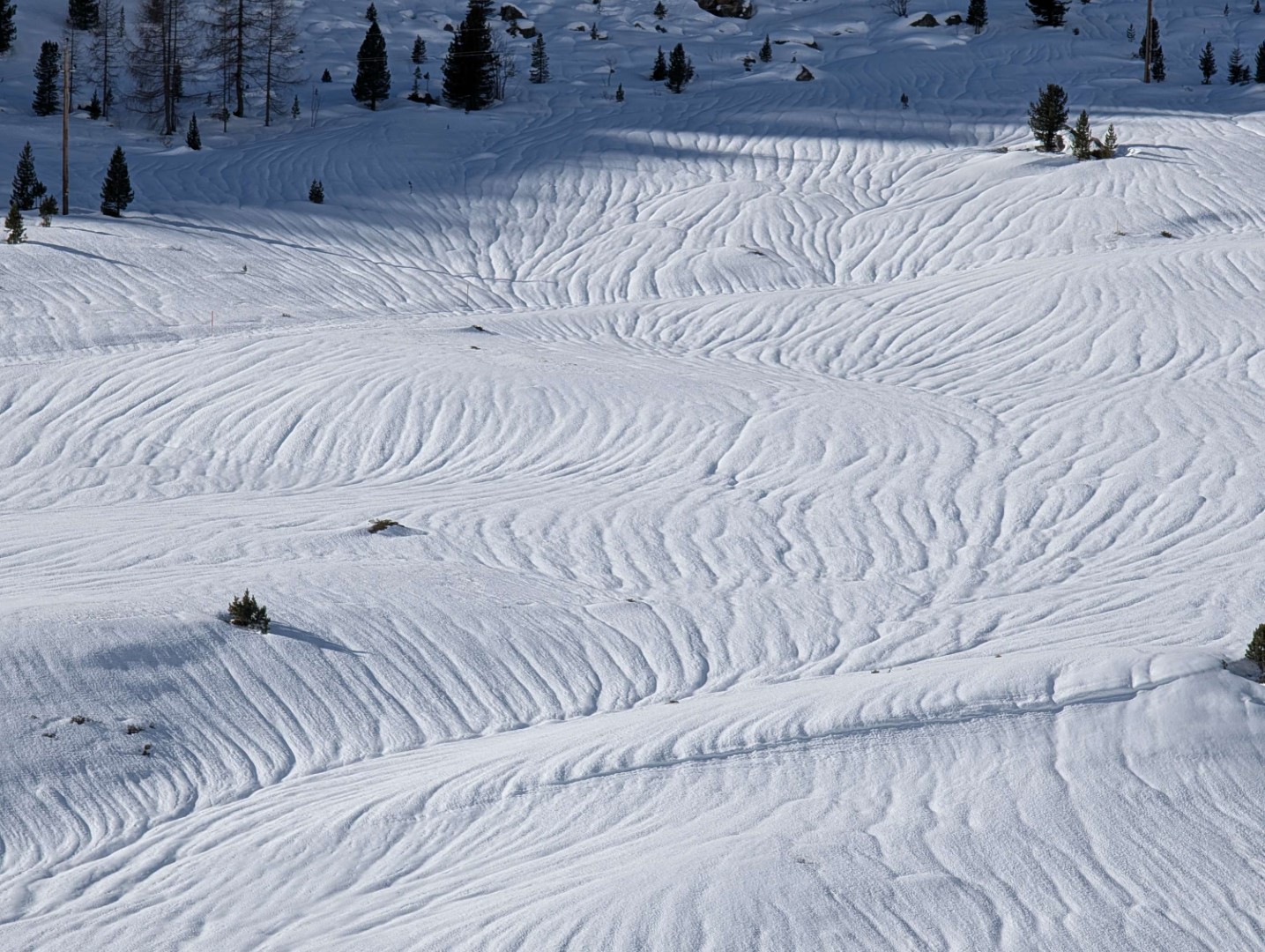
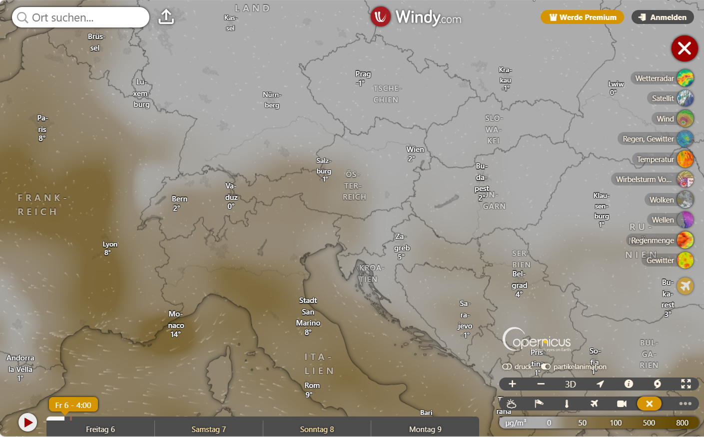
Since Tuesday, dry air masses have definitely held the upper hand under the influence of powerful high-pressure front weather conditions, altogether guaranteeing springtime weather free of perturbances. Only the dust flying north from the Sahara desert has clouded the clear skies. Following the initially weak snowpack from water seepage, the dry air masses have since hardly permitted any further water seepage. That means, the daytime danger cycle of rising/lowering avalanche danger has been very weak. Also today, 06.03, the Sahara dust spreading over the skies of Tirol is not expected to hamper nighttime longwave outgoing radiation very much. Tomorrow, 07.03, it will be the solar radiation instead which will be hindered by the Sahara dust.
Caution is urged most of all towards the hard-frozen snowpack, particularly in the early morning hours and onwards towards midday. There is serious danger of falling due to this. Don’t forget to use crampons in plenty of time.
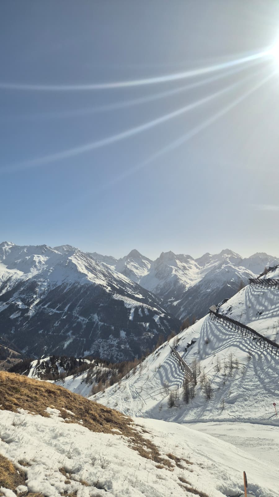
Outlook
According to Geosphere Austria (GSA), the skies will be only slightly cloudy to cloudless from Friday to Saturday (06-07.03), but somewhat milky due to dust flying north from the Sahara desert. Temperatures will be relatively mild: -2 to +2 degrees, even slightly milder in the Central Massifs. On Saturday, 07.03, thoroughly sunny mountain weather will prevail, although Sahara dust will continue to make things a bit hazy. It will remain sustainably mild, with only light winds. Temperatures at 2000m: 0 to 6 degrees, at 3000m: -6 to -1 degree. On Sunday, continuing sunshine and measurably less Sahara dust in the air than in recent days.
As temperatures tend to drop slightly and dry air-masses continue to prevail, the daytime loss of firmness of the snowpack will be limited.
The “low probability – high consequence persistent-weak-layer problem“ needs to be given ongoing attentiveness. Avalanche danger on west to north to east-facing slopes above 2000m will remain treacherous.
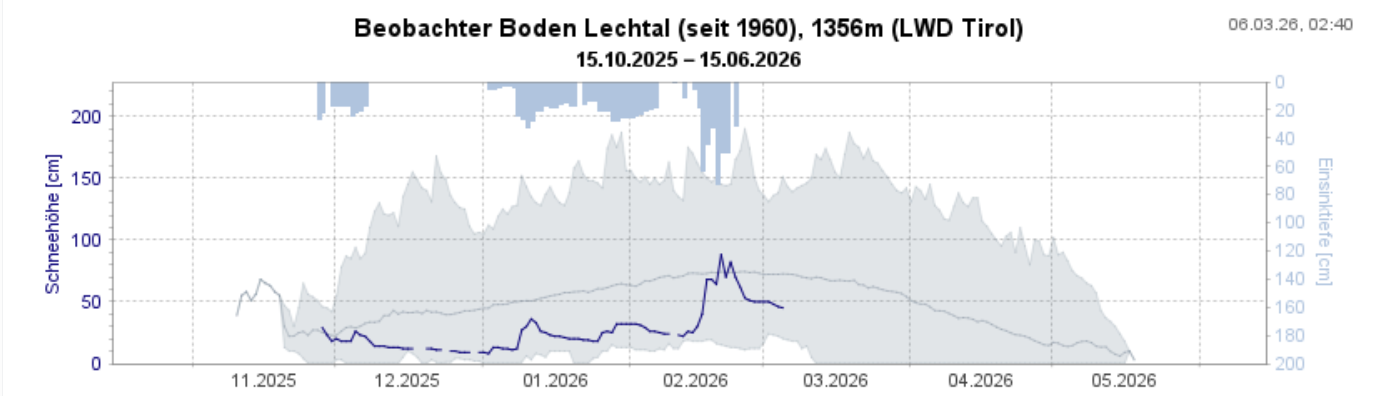
Snow depths have recently become below average in many regions for this juncture of the season.