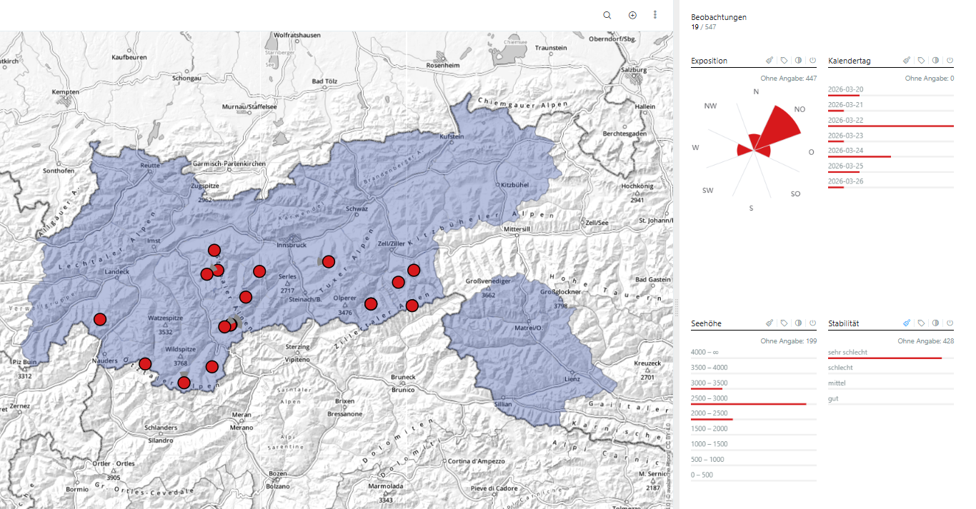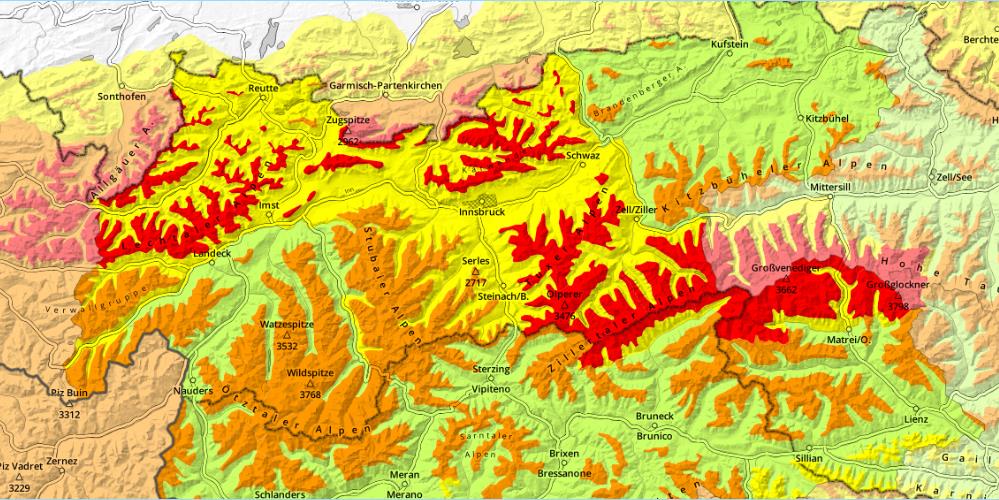
Heavy snowfall and strong-to-storm velocity winds have increased avalanche danger throughout the land. Regionally, high avalanche danger (Level 4) prevails. Activity of naturally triggered avalanches will gradually recede on Friday, 27.03. But the snowpack will be prone to triggering in many places over the weekend. Saturday, due to fine weather forecasts, an accident-prone situation is promised. We advise as much restraint as possible, advancing only carefully in outlying terrain and taking danger signs seriously.
Heavy precipitation and wind causing heightened avalanche danger
Cold front / northern powerful barrier cloud situation
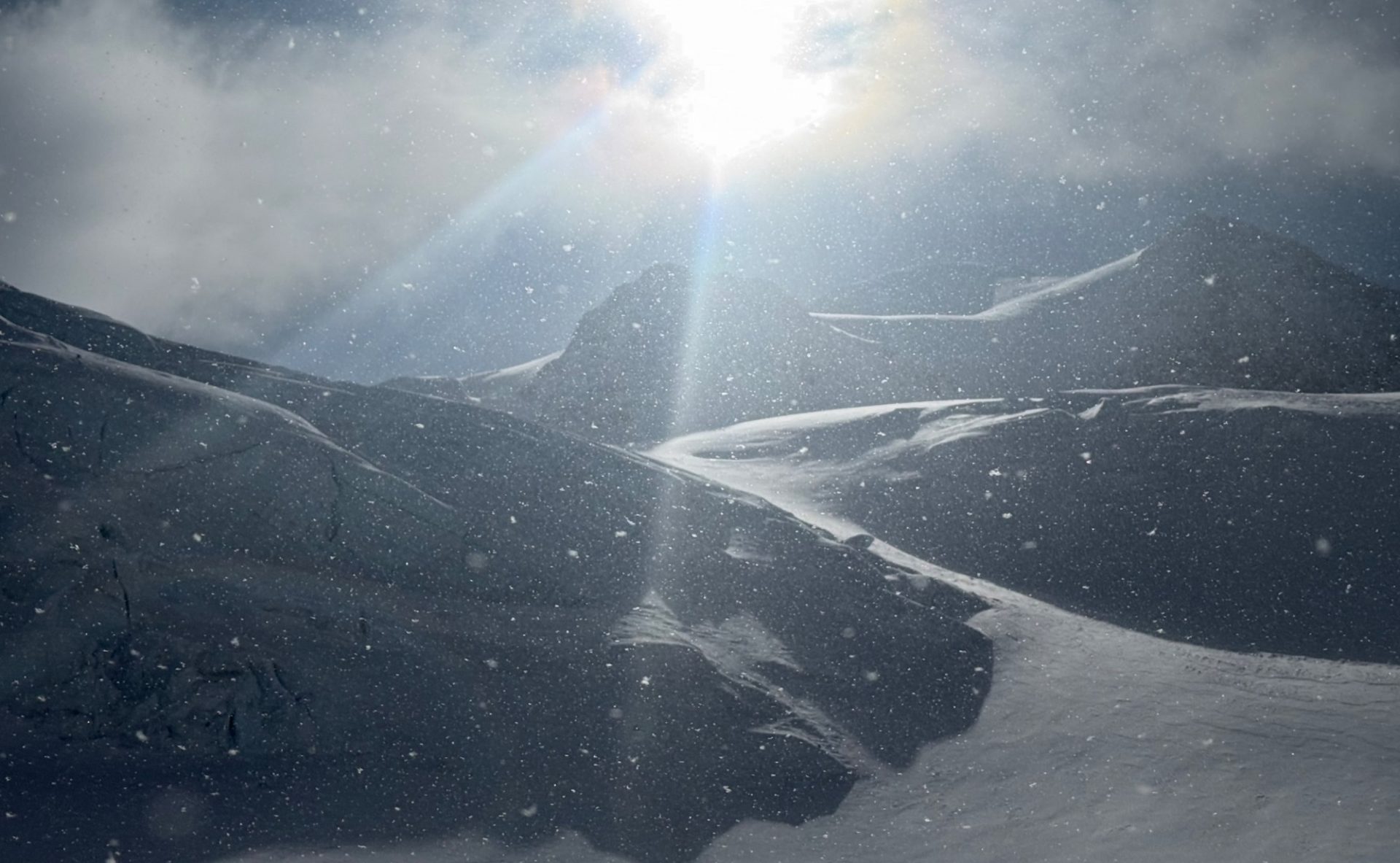
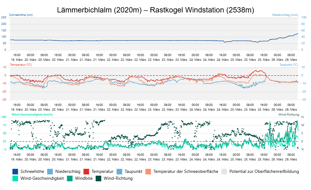
A marked cold front made temperatures plummet to wintery levels on Thursday evening, 25.03. Until Friday we are caught in an extremely windy, moist-cold northern barrier cloud situation which will bring overall 40-60cm of fresh snow, significantly more in some places along the Northern Alps. The northerly winds will be blowing at strong velocity in the mountains, East Tirol will have gale-strength Tauern winds in gusts.
During the course of the day on Friday, weather conditions will calm. The precipitation will taper off by midday, also the Tauern wind will slacken off. On Friday night skies will clear, Saturday promises sunny winter weather with only light winds.
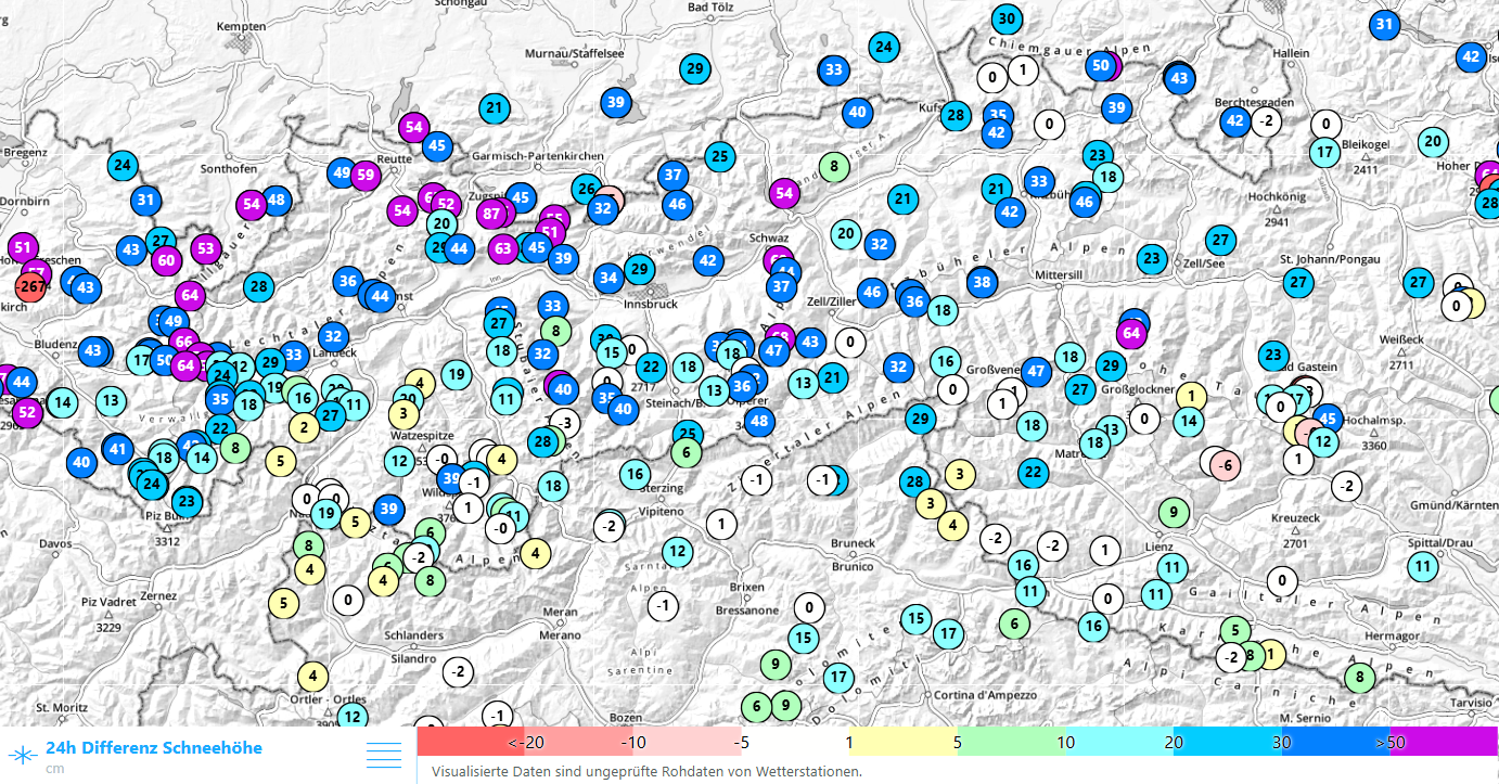
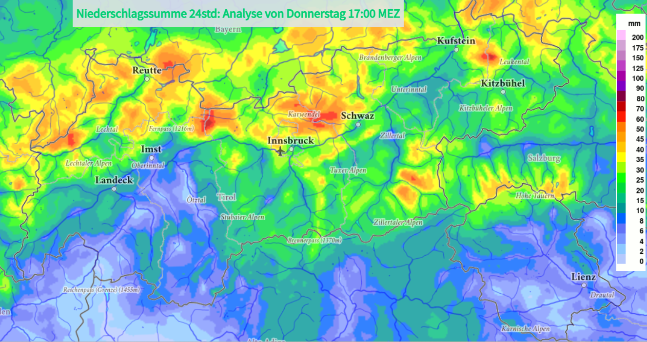
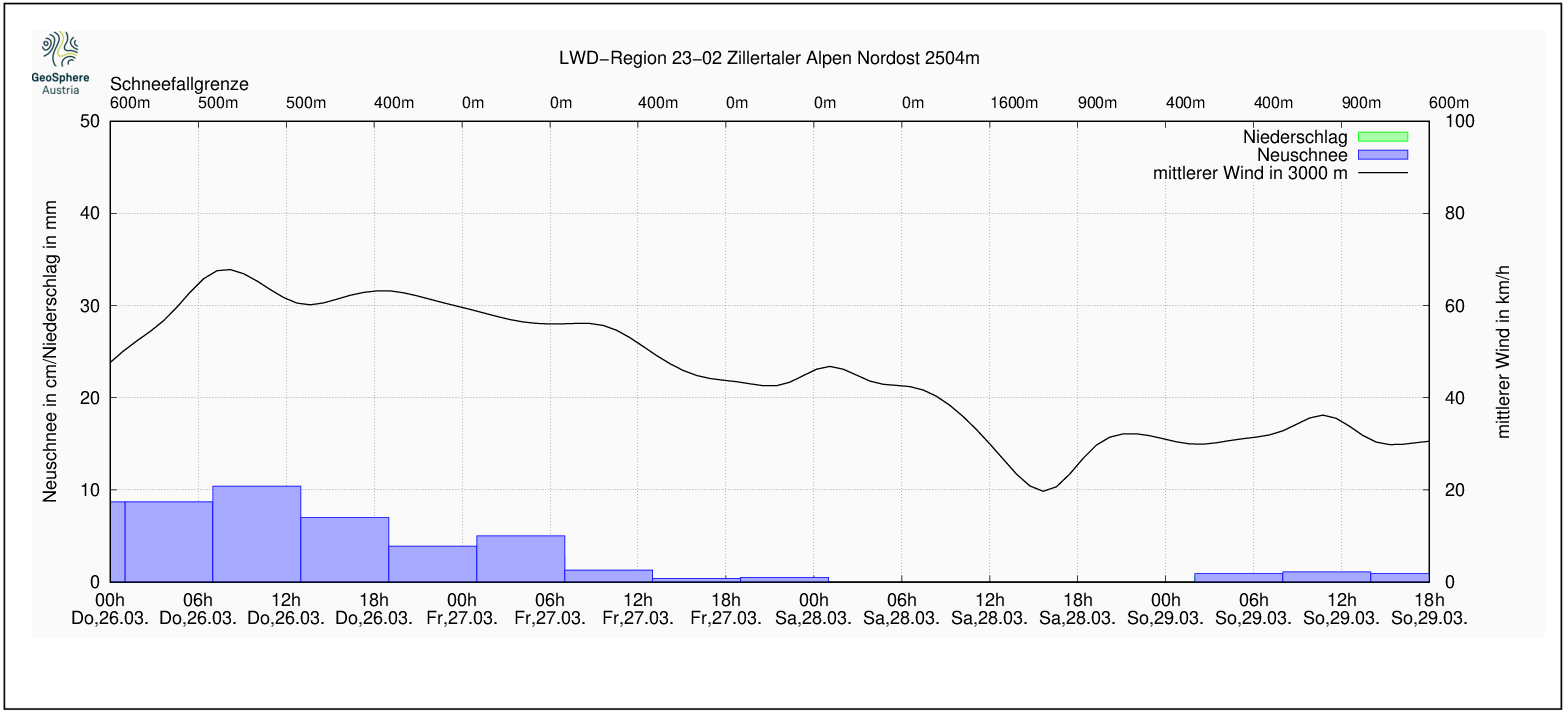
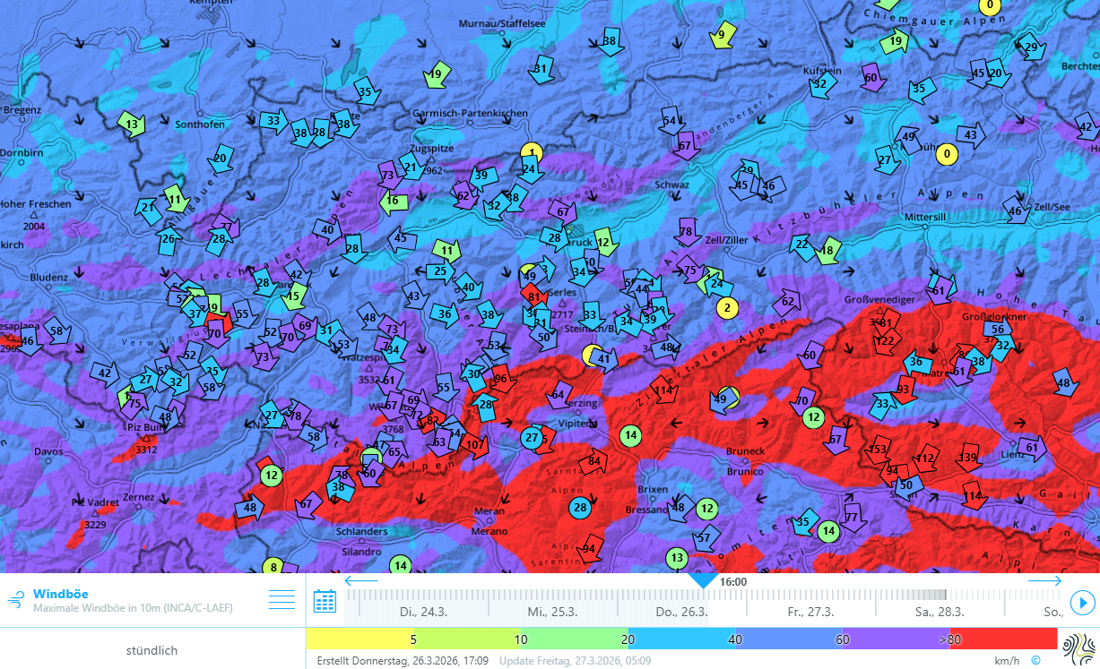
Trigger-sensitive snowpack / Dangerous avalanche situation
Avalanche danger has increased strikingly over the last 24 hours. In some regions the avalanche danger level is high: Danger Level 4. We are currently in the lower zone of this danger level. The situation is very dangerous, in particular for winter sports enthusiasts.
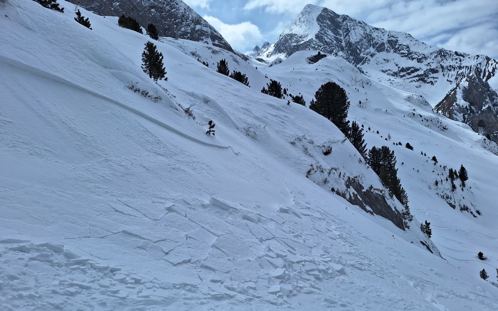
Until the precipitation tapers off and the strong northerly winds slacken on Friday, 27.03, numerous small and medium-sized naturally triggered avalanches on very steep, wind-protected slopes are anticipated. The weak layers in this case are primarily soft layers inside the fresh snow and freshly generated drifts.
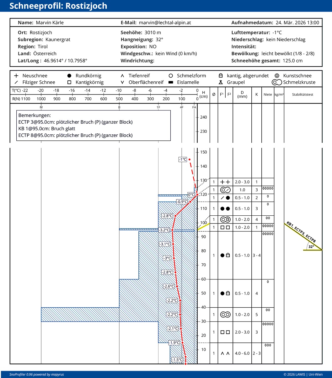
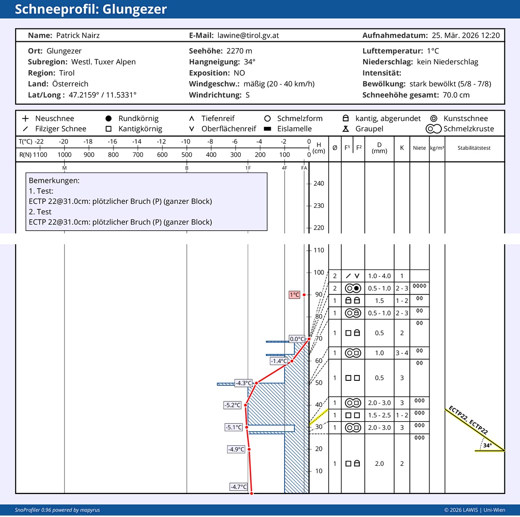
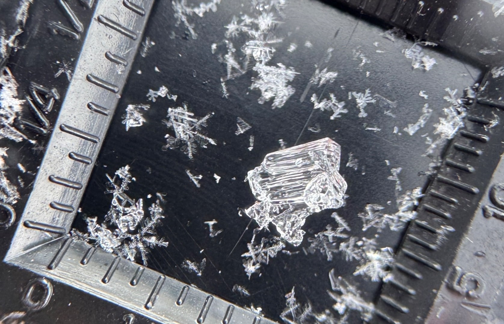
In some places, also fractures in the old snowpack are possible which in isolated cases could trigger large avalanche releases (Magnitude 3). The relevant weak layers for these releases occur in the uppermost part of the old snowpack, particularly on north-facing slopes above about 2200m, on west and east-facing slopes above about 2500m, and on south-facing slopes above about 3000m. The weak layers are initially generated by layers of small faceted crystals which, as fine weather sets in bringing metamorphosis at the surface, is then blanketed by fresh snowfall. On especially steep slopes there is often a thin melt-freeze crust above the weak layer.
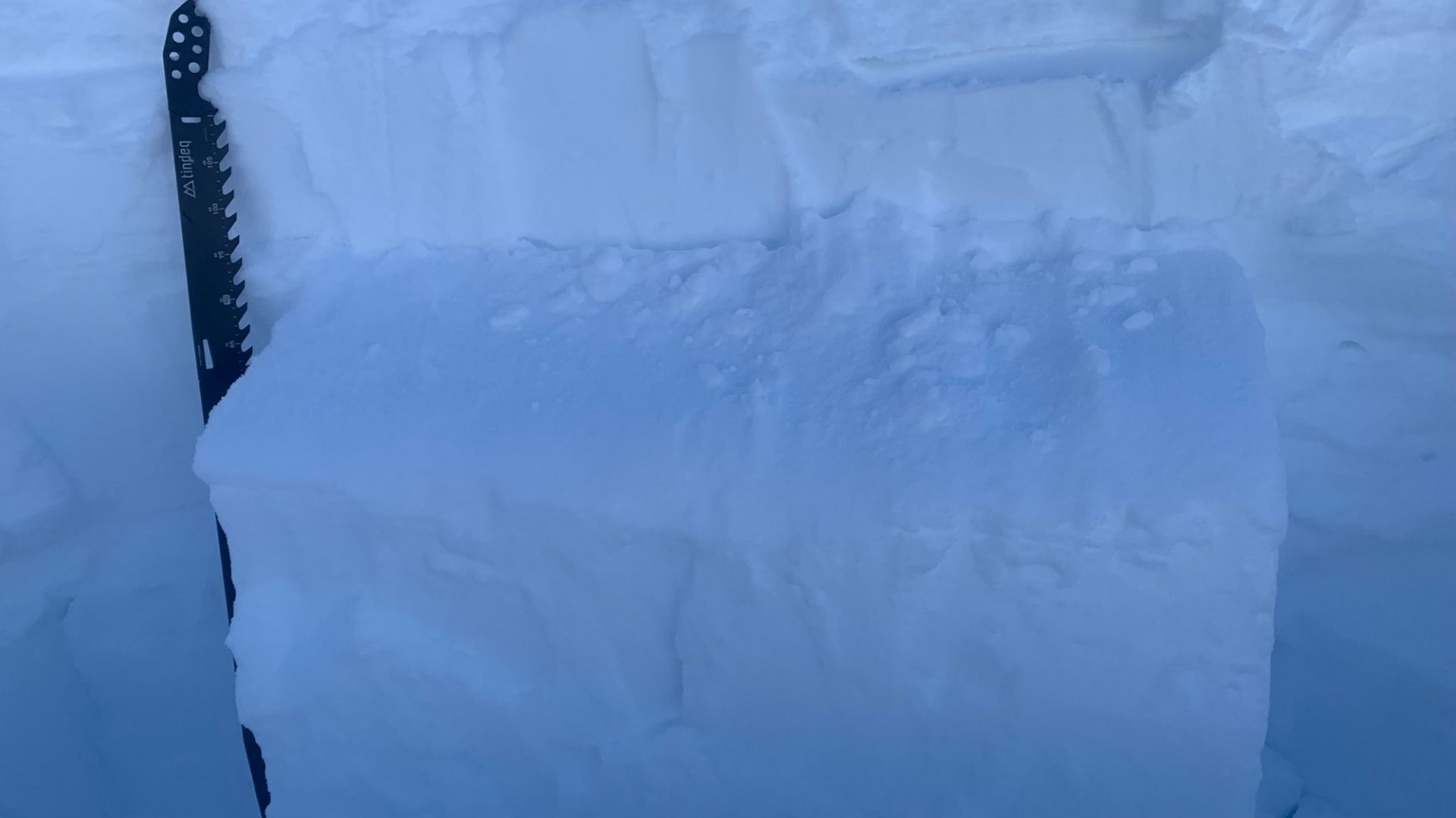
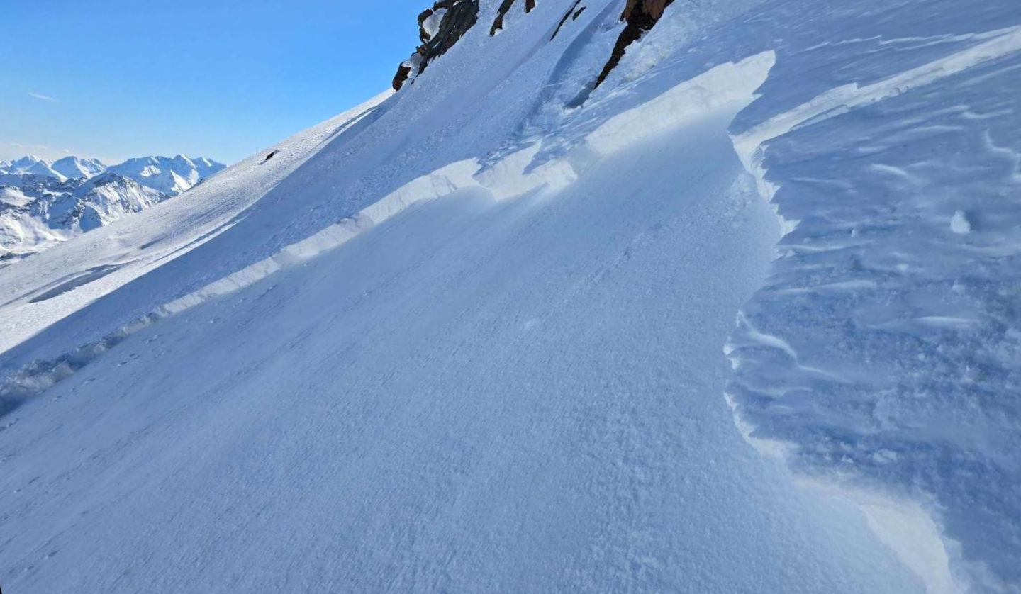
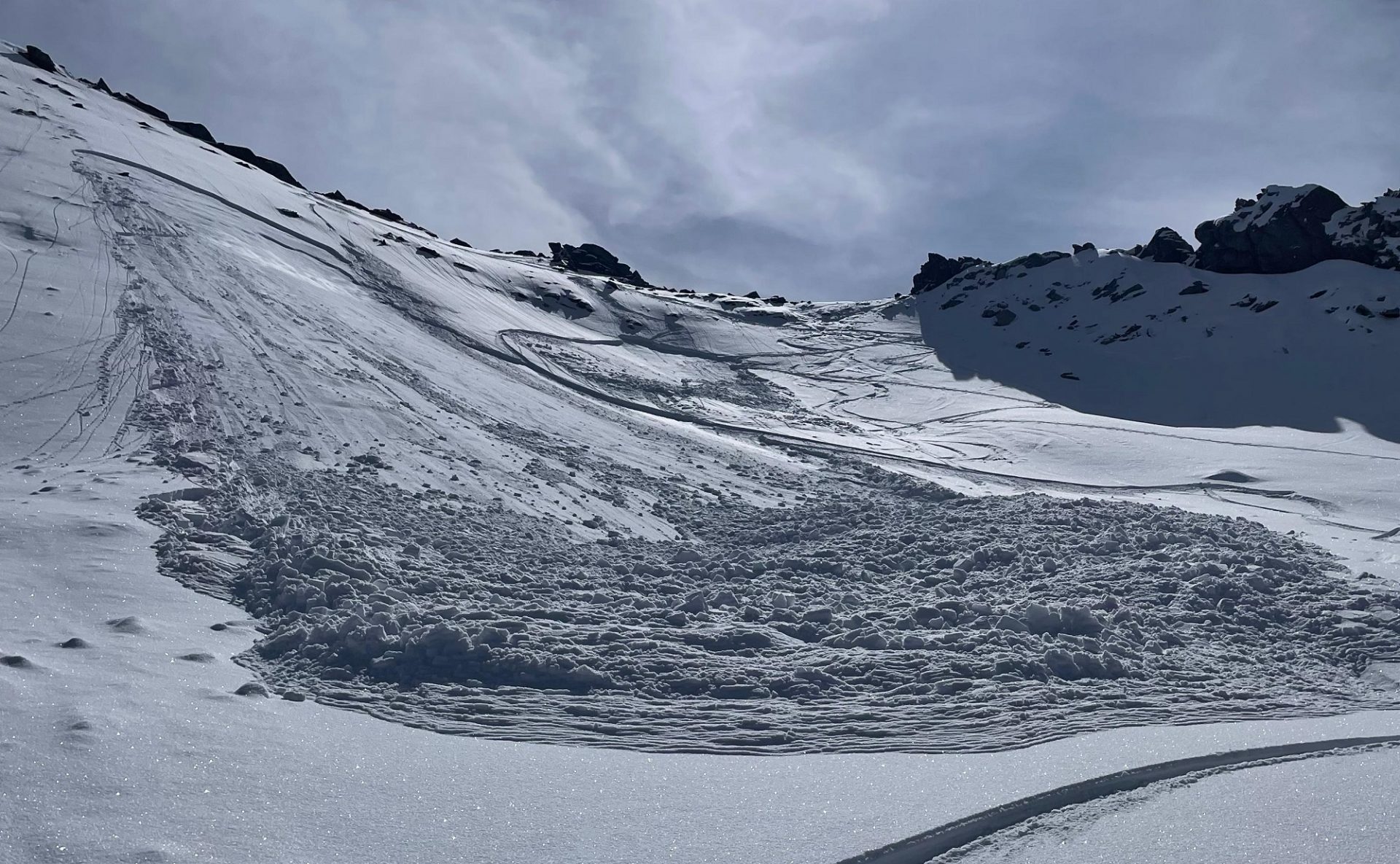
In addition, although this is of far less significance than during and right after the intense bout of precipitation at the end of February, the ground-level weak layer from early winter is also a source of danger. With the new burden of fresh snow and snowdrifts it has to be assumed that the proneness to this layer (of large cup-shaped crystals and buried hoar) triggering is again somewhat heightened. Naturally triggered and person-triggered near-surface avalanches can fracture down to this weak layer particularly on very steep shady slopes above about 2200m. The avalanche prone locations occur rather seldom, but more frequently in regions which got less snowfall this winter. This applies especially to inneralpine regions south of the Inn.
On first fine-weather day: Restraint
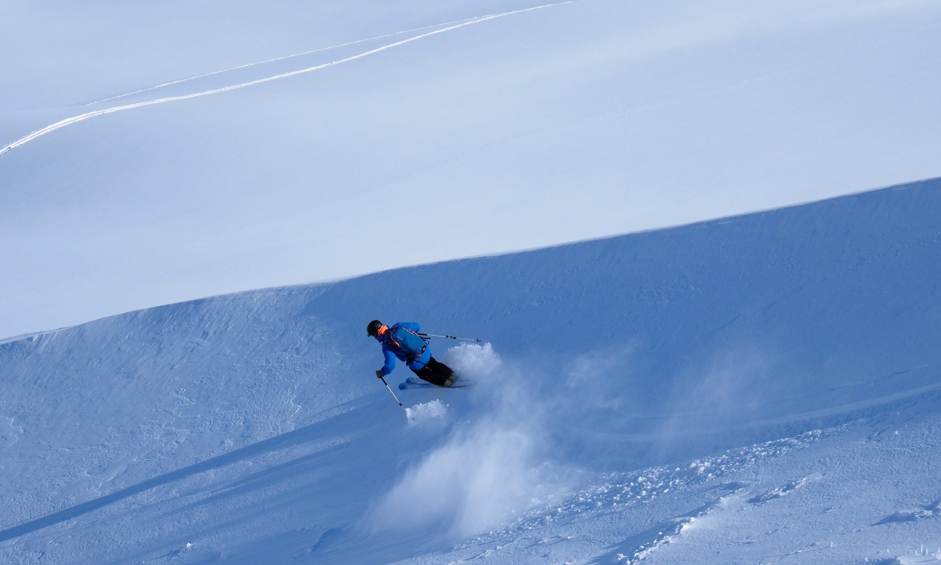
On Saturday, 28.03, we anticipate a beautiful sunny day which will entice many people to undertake backcountry and freeriding tours. However, we also anticipate at the same time a very trigger-sensitive snowpack. All the above-mentioned weak layers are relevant in this situation. Also the short-lived soft layers inside the fresh snow and snowdrifts have not had enough time to consolidate. As a result of the large amounts of fresh snowfall, danger zones are very difficult to spot or to predict. They occur in all aspects.
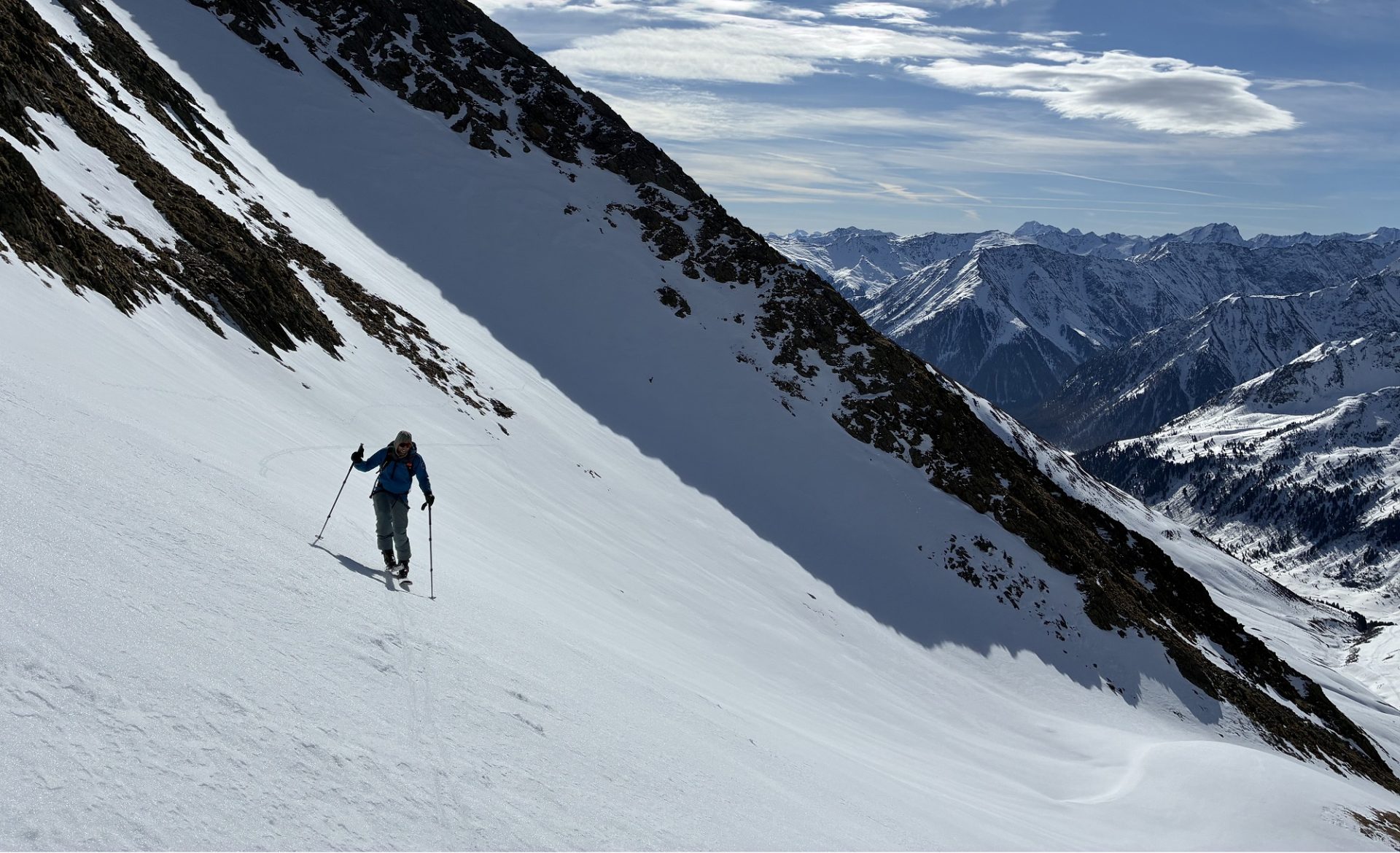
We advise in the areas of major snowfall: a defensive route selection. That means: consequentially avoid large, steep north-facing slopes above 2200m, steep west and east-facing slopes above 2500m and steep drifted slopes behind abrupt changes in the terrain. In freeriding terrain, important: feel your way carefully, gain a clear picture of the snowpack’s stability, take danger signs seriously.
In central and southern East Tirol, freshly generated snowdrift accumulation are easily recognized. They should be avoided in steep terrain. Caution also urged particularly on very steep shady slopes, where avalanches can fracture down to deeper weak layers and grow to medium size.
Outlook: moist-cold weather to continue
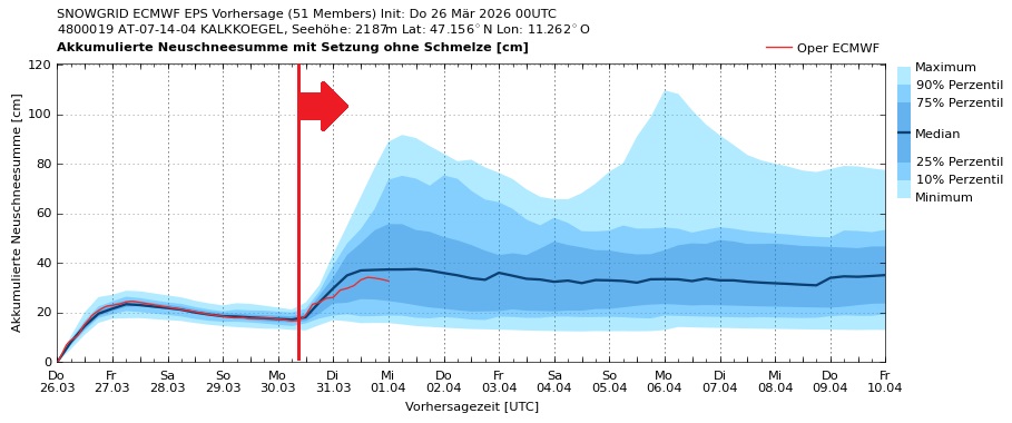
As soon as Sunday, a weak cold front will again bring clouds and lower temperatures. Next week, active front systems will reach us from the northwest, bringing strikingly intensifying winds, also heavy precipitation is possible. The moist-cold wintery weather character is here to stay for a bit.
Review of last week in pictures