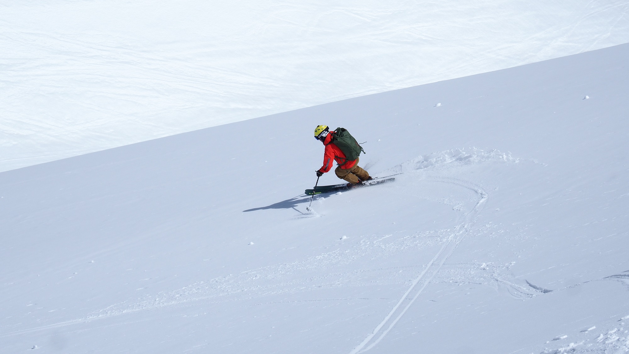
Every year, punctually at the launch of the new winter, we glance back at the old season.
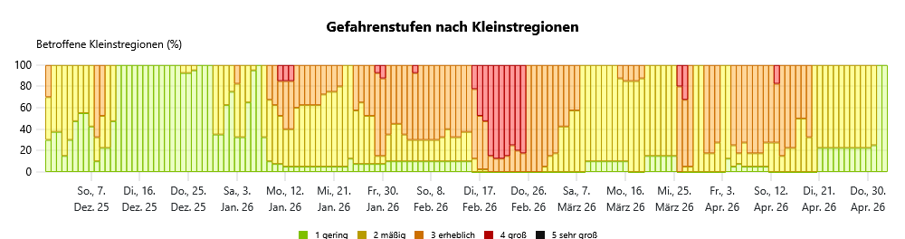
- It started with very little snow & very bad snow layering: a long-enduring persistent weak layer prevalent throughout Tirol, highly unusual.
- Accident-prone avalanche period from mid-January til end of April, causing a never-before-seen frequency of reported alarm signs, particularly of remote triggerings.
- In late February, unusually frequent natural triggerings of avalanches, including large-scale releases.
- “High” avalanche danger on 10 days in sequence (16-25 February).
- AT-Alert published with information about the perilous avalanche situation on 21-22 February, particularly adjacent to public ski runs.
- Outlying terrain and public ski runs were equally endangered. In the zones near ski runs more people die than in open terrain (12 out of 18 avalanche deaths in Tirol).
- Starting beginning of March, springtime conditions set in, with transition of persistent weak layer to a “low probability – high consequences” avalanche situation. The situation improved increasingly in March.
- As of end of March, a new, short-lived near-surface problem of a persistent weak layer, following a period of fine weather with a bout of bad weather on its heels.
- Beginning of April, an abrupt change to an occasionally dangerous springtime situation due to a reactivated weak layer near ground level resulting from water penetration.
- End of April, conditions relax and improve, good firn-snow conditions prevail.
- Late spring: extraordinarily dry + warm weather causes the snow to melt rapidly.
- 287 avalanches – nearly three times the average number over the last 10 years (99 per year) and the highest number ever registered.
A weak fundament is created
The first notable onset of winter at the end of October brought 40 to 50 cm of fresh snow widespread, locally more, particularly to the western regions of Tirol, accompanied by strong to storm-strength winds. Even that early in the season, a pattern became noticeable in the high-altitude glacier regions which would leave its stamp everywhere in Tirol: snow on the ground in shady zones and in high alpine regions from earlier precipitation tended to persist, then got transformed during the following phases of dry, warm weather and formed crust sandwiches with faceted crystals at base level. On top of that, the freshly fallen snow and snowdrifts were deposited, generating a slab atop the weak layer. The upshot: the first slab avalanches, released by winter sports enthusiasts on the Stubai Glacier.
Following this first greeting from Frau Holle, an orderly, sustained winter simply did not take place. High temperatures, rainfall, long phases of dryness led to the snowpack melting, particularly at low altitudes and in sunny areas.
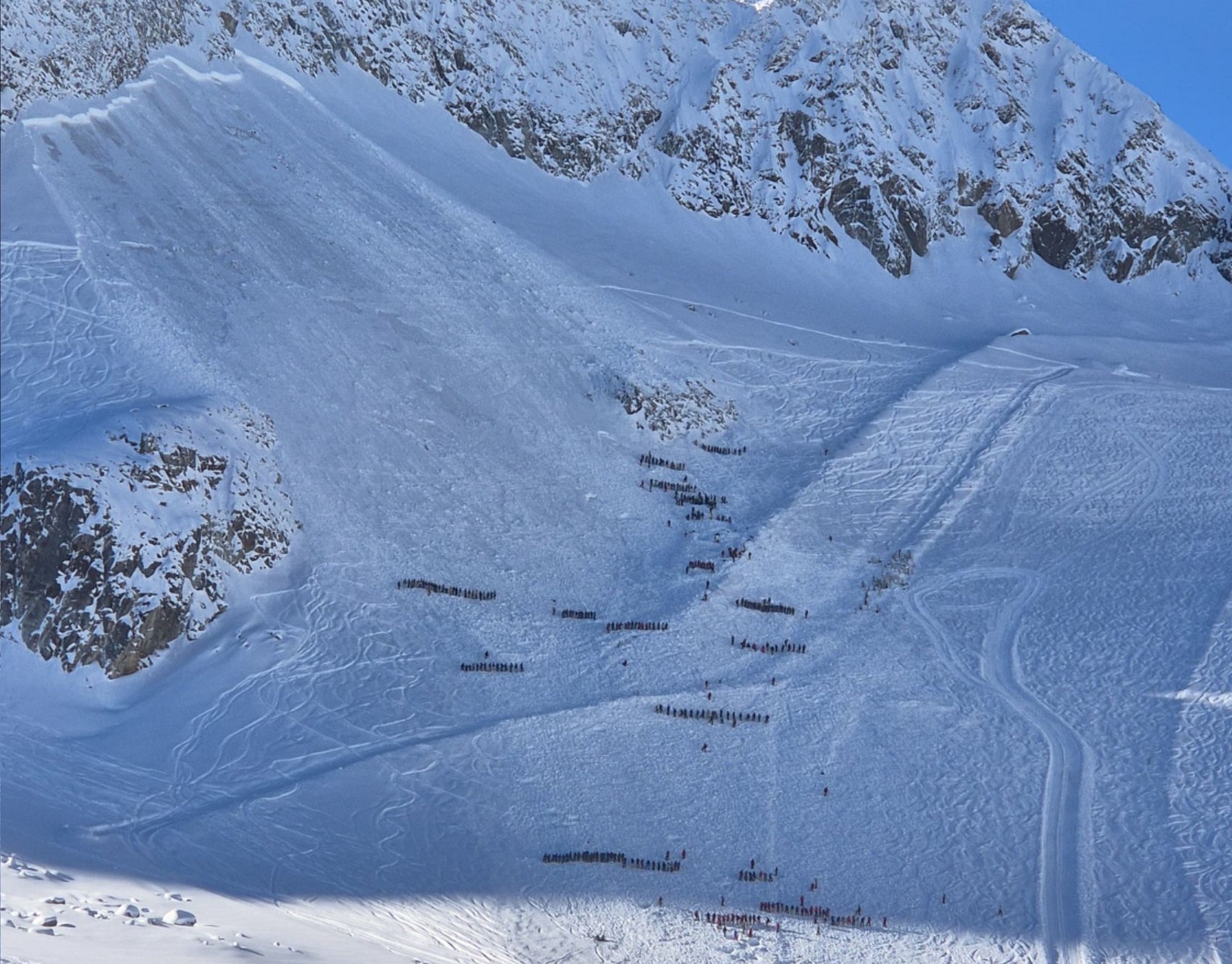
Renewed snowfall starting on 24.22.2025 made the above-described situation replay. Once again, fresh snow and drifts led to a slab being generated, weak layers at the base of the snow cover could be disturbed by persons, and trigger an avalanche. On 27.11.2025, the first fine-weather day after the period of snowfall, an avalanche incident occurred on the Eastern Daunkopf in the freestyle zone of the Stubai Glacier involving at least 8 freeriders which through an uncanny stroke of luck proved harmless. Since the deposit of the huge slab avalanche even crossed the borders into a public ski run, a large-scale rescue search campaign involving about 200 searchers was set in motion.
In retrospect, the warm front of 08.12.2025 was of extraordinary relevance for the rest of the winter. It brought rainfall up to high alpine terrain and, frosting on the cake, placed a thin melt-freeze crust atop the still shallow snowpack. The crust which was created was highly advantageous for the ongoing metamorphosis during the cold-weather, high-pressure front weeks which followed, since it protected the weak layer from its meteorlogical influences. Ultimately, this led not only to a particularly marked weak layer, but to one which also spread far-reachingly over widespread surfaces extending from the timberline all the way up to high alpine regions, in practically every exposure, covering all warning regions.
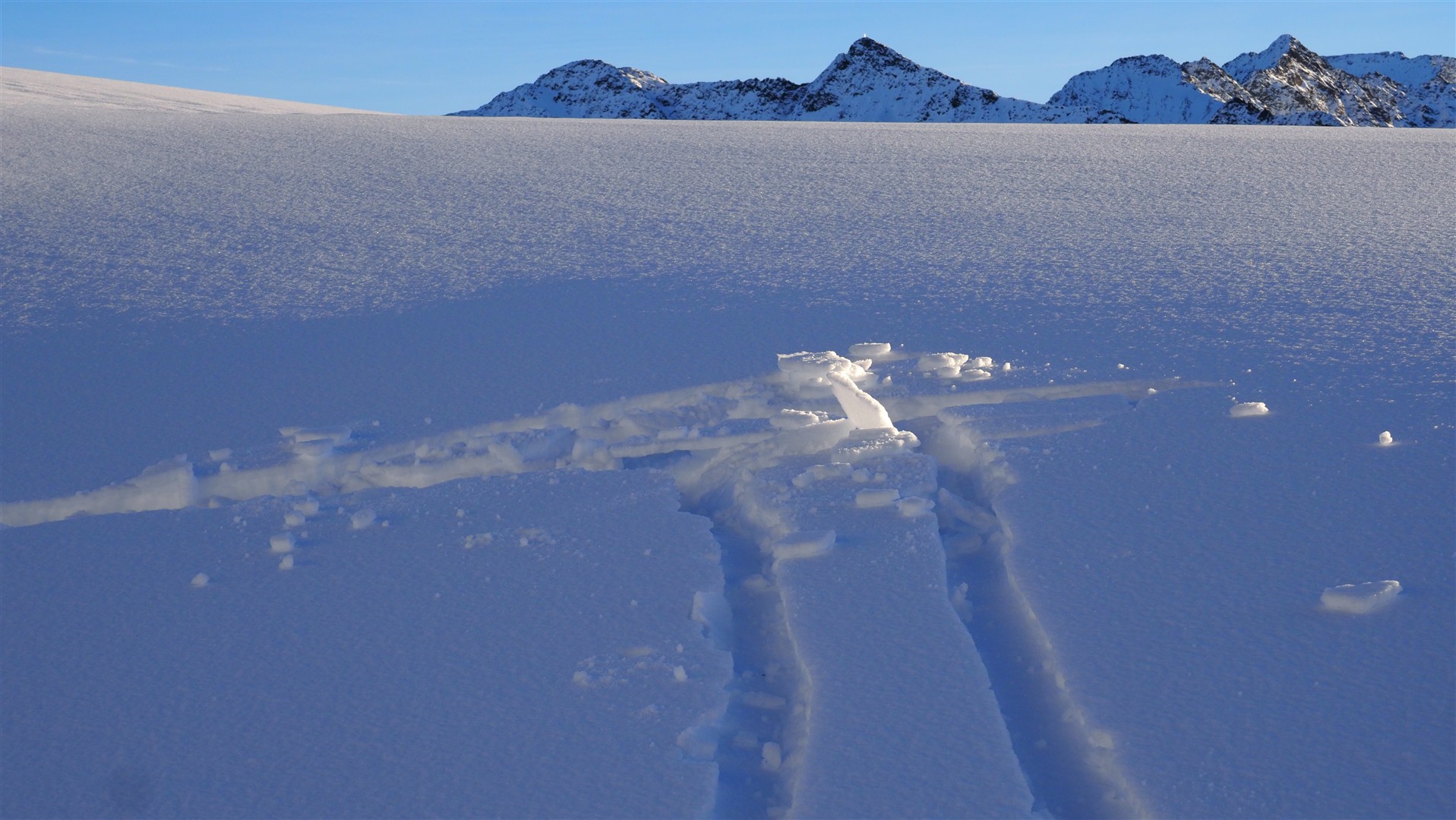
The snow cover thus remained shallow in many regions. Seen from the viewpoint of skiers, conditions left much to be desired: not much snow, breakable crusts, too much contact with rocks and sharks. From the point of view of the snowpack itself, these were the decisive phases: weather developments favored the continuing metamorphosis of the snowpack fundament.
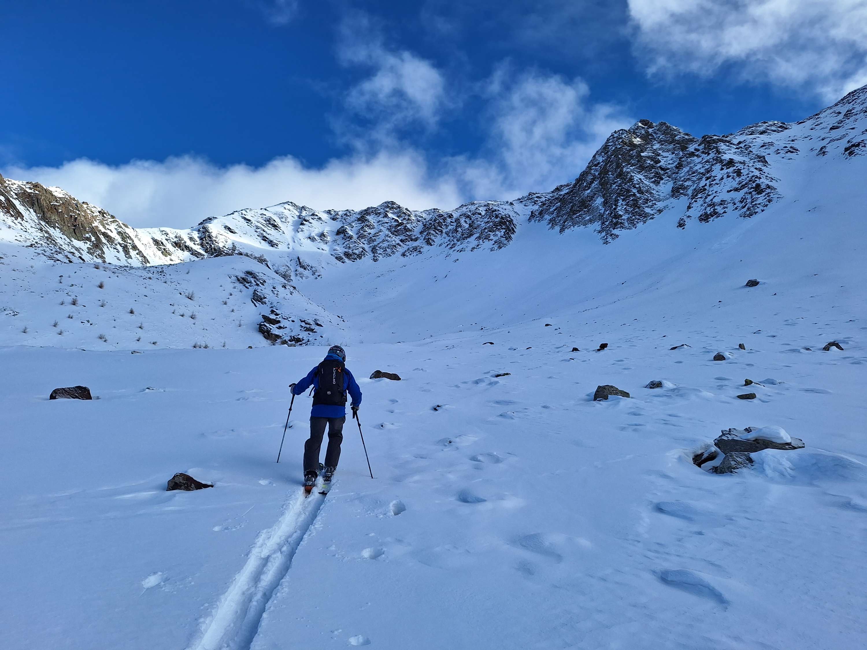
Start of an accident-prone phase
With the advent of a snowfall period starting on 08.01.2026, an area-wide cohesive snowpack atop the weak old snowpack fundament was generated in far-reaching stretches of Tirol for the first time in the season. Particularly in zones where there were snowdrift accumulations, this snow, deposited on top of the trigger-sensitive weak layer, could easily be triggered as an avalanche.
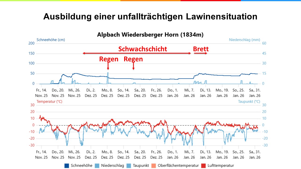
A long phase bursting with numerous avalanche triggerings by winter sports enthusiasts, remote triggerings, surface cracks and settling noises began. The relevant weak layer often lay near a rain crust formed on 08-09.12.2025. During the latter part of January, frequency of endangered zones gradually receded before at the end of January, it gradually escalated again due to fresh snowfall and winds. The snowpack remained enduringly weak and highly prone to triggering. Southern East Tirol, where there was only little snowfall after 08.01, couldn’t call an end to the critical avalanche situation until the end of January.
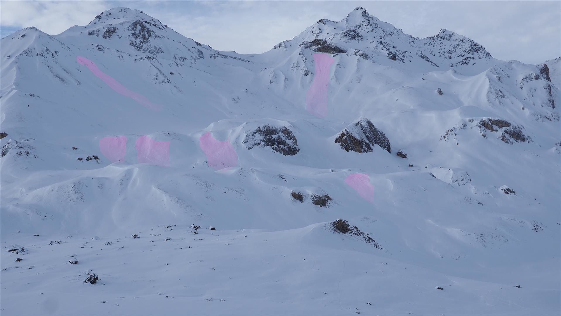
Avalanche period in February
The most dangerous phase of the winter unfolded in the second half of February. Several bouts of precipitation accompanied by strong to storm-strength winds and fluctuating temperatures led to a thick, marked slab getting generated. In western and northern regions of North Tirol, 60 to 90 cm of fresh snowfall was registered over just a few days in many places, in the northern barrier cloud regions, more than 200mm of precipitation was added over about two weeks. The fresh snow and snowdrifts had the effect of bringing an additional burden onto the snowpack and atop the near-ground level weak layers inside the old snowpack.
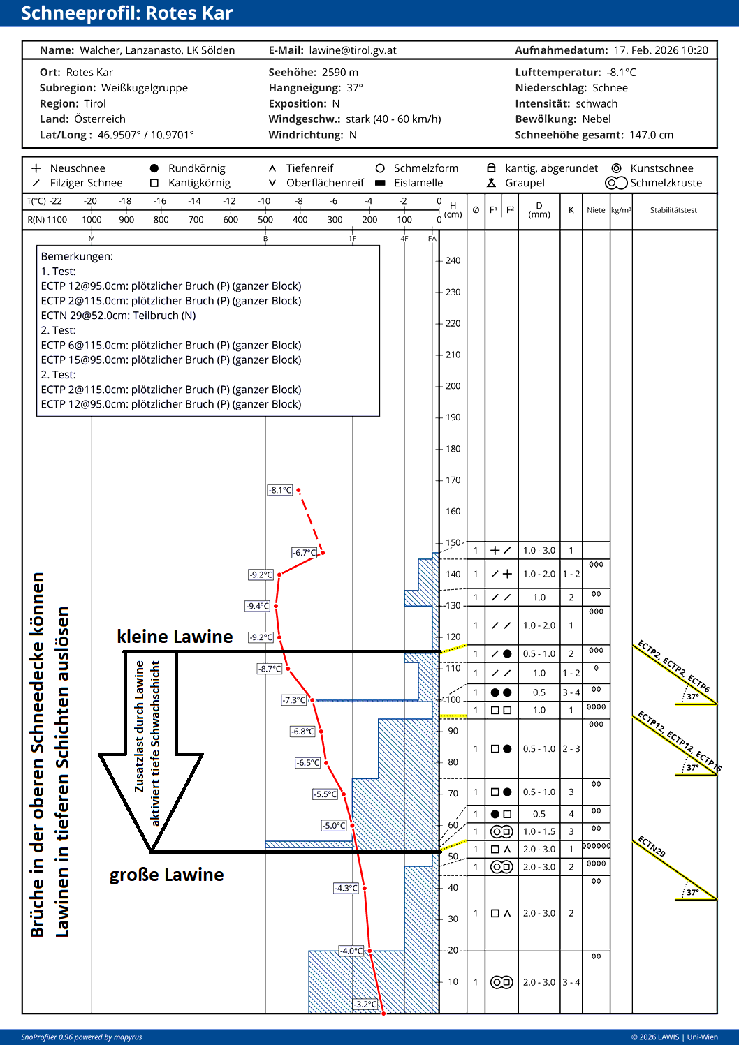
This resulted in the most avalanche-active period of the winter. Over the course of ten days, “high” avalanche danger was called out in many regions. Numerous large and very large avalanche releases were registered which in some cases plummeted all the way to the valley floor. Particularly in the freestyle zones, but also in areas bordering public ski runs, there were numerous triggerings by winter sports enthusiasts. In just a few days, several hundred reports of avalanches reached the Avalanche Warning Service.
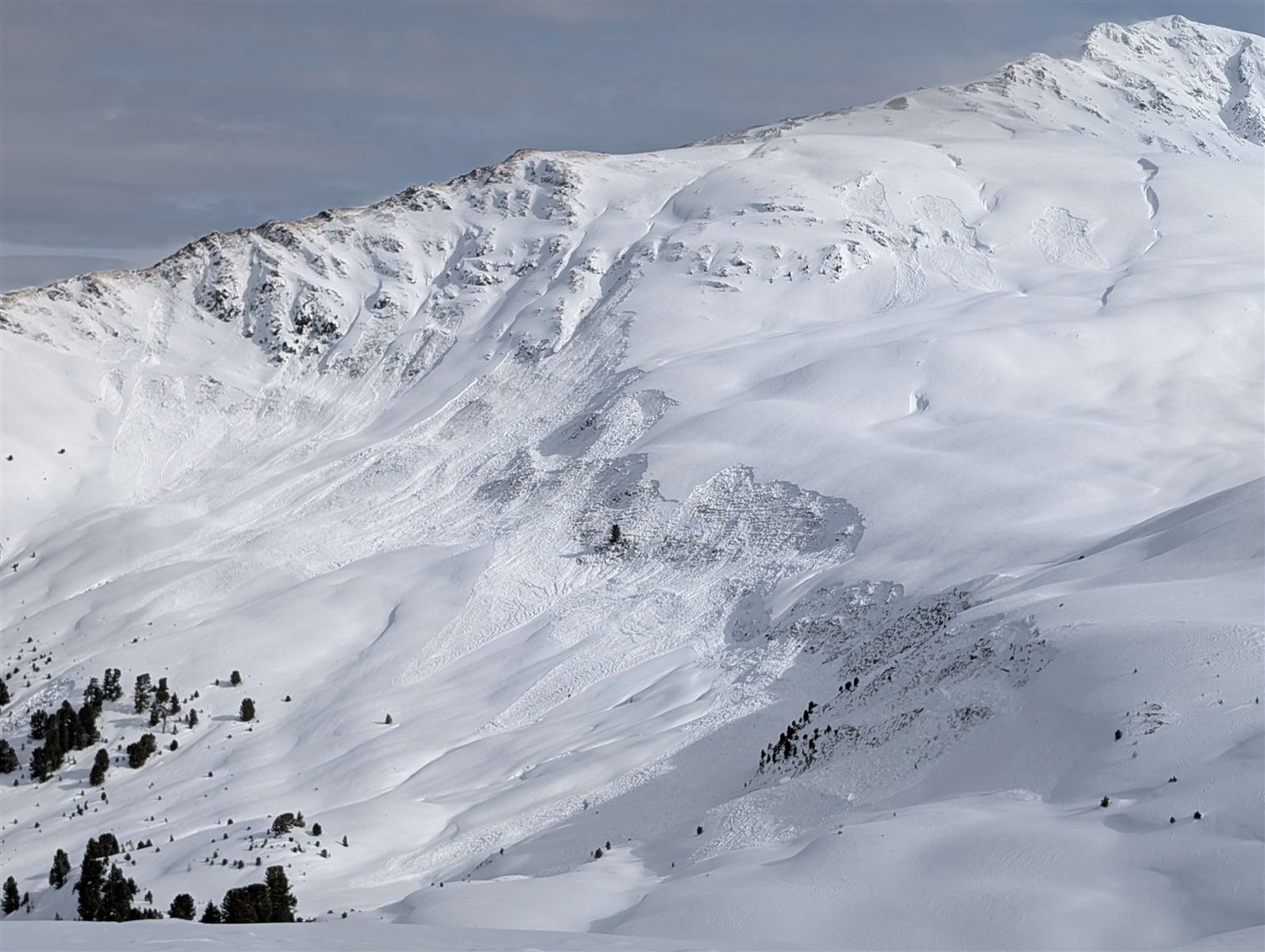
The balance sheet of this avalanche period turned out to be tragic. Within merely one short week, there were seven avalanche incidents in Tirol in which 10 people died. On a national road in the Ausserfern region in the early morning hours of 20.02.2026, a bus was struck by a naturally triggered slab avalanche; the occupants remained unhurt. The high level of avalanche activity and the rapid consequence of serious incidents led to public and media awareness attaining never-before-seen levels. For the very first time in Austria, the public radio-controlled warning system “AT-Alert” was activated to warn the population of the dangers of avalanches, in particular adjacent to public ski runs.
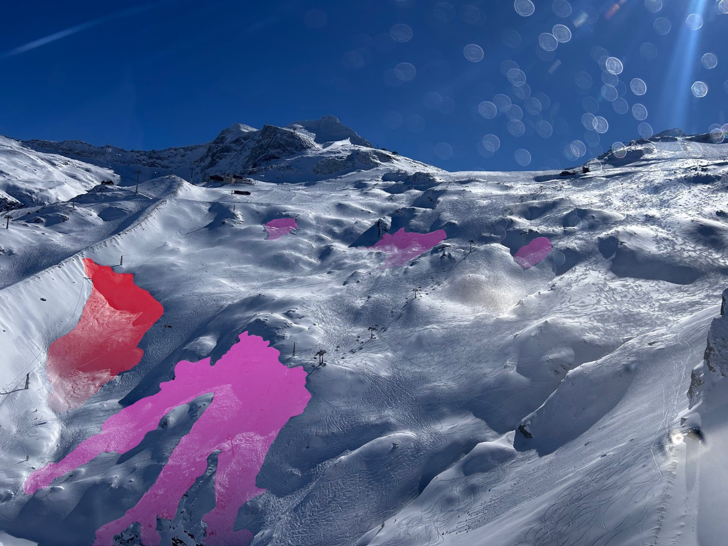
Frequency of avalanche-prone locations slowly recedes
Following the intensive avalanche period, stable high-pressure front weather conditions set in, starting on 25.02.2026. Temperatures suddenly spiked noticeably, the zero-degree level ascended to about 3000m. As a result of solar radiation and warmth and all-too-often large, in isolated cases very large avalanches due to the impulse of moist, naturally triggered loose-snow avalanches, released in some cases in the following days, particularly on sunny slopes. Eternally fascinating is that naturally triggered avalanches also occurred on very steep north-facing slopes during this period. Because of the lack of solar radiation on north-facing slopes, as well as cloudless skies with low air moisture which prevailed at that time, it can’t be assumed that the impulse for such triggerings stemmed from meteorological conditions. Far more likely, processes creeping and crawling through the snowpack were the cause, leading to the near-ground level layer becoming over-burdened, leading in turn to a fracture and the resulting release of an avalanche.
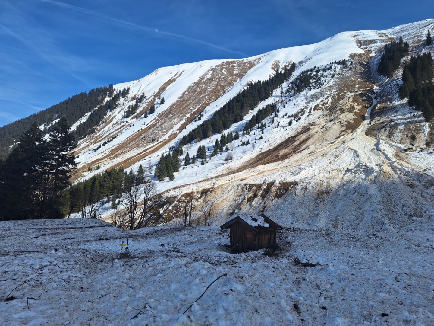
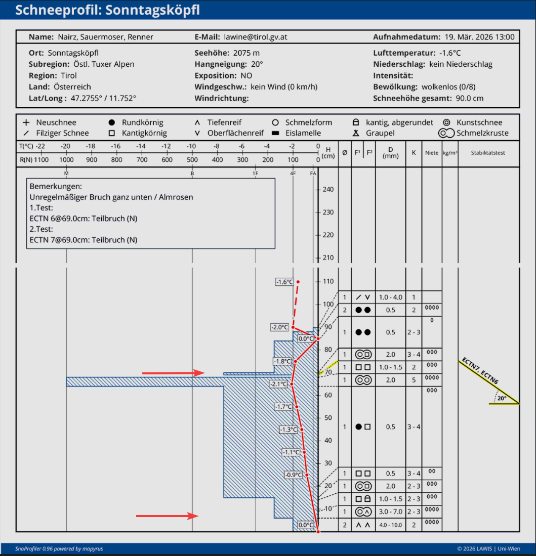
Naturally triggered avalanches and those triggered by persons which fractured in the near-ground level old snow gradually decreased in number. This phase was particularly demanding in our own decisionmaking process: the obvious alarm signals were increasingly lacking, so that the snowpack seemed much more stable in many places. General signs of danger diminished, but were also extremely difficult to recognize. If an avalanche triggered, it could still grow to large size and cause grievous consequences. In such situations, we speak of “low probability – high consequences” – in other words, the likelihood of an avalanche drops but the serious consequences in case one triggers remain high. One avalanche incident with a fatality on 21.03.2026 on the Ruderberg in Ratschlings in nearby South Tirol showcased this conundrum on tragic ways. On the other hand, on 19.03.2026 on the northern Daunkogel in the Stubai Alps, an avalanche release proved to be without consequence to all the people involved.
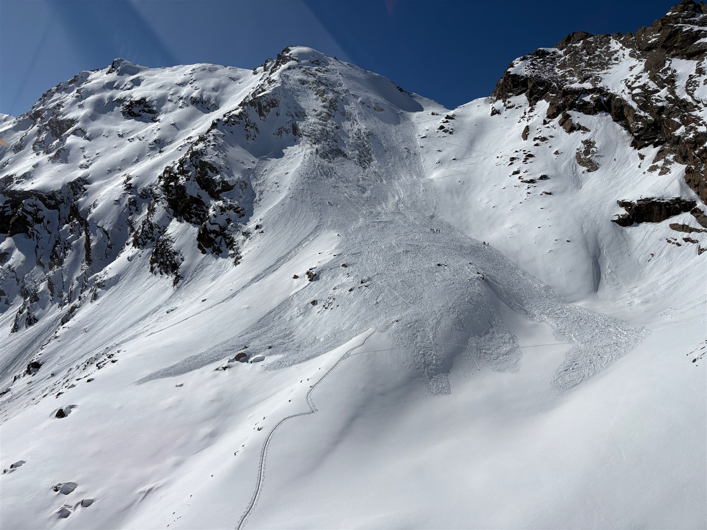
In early March temperatures receded somewhat and a springtime situation followed with a daytime cycle of avalanche danger. During nocturnal hours, the snowpack on sunny slopes froze sufficiently to carry a load, then gradually softened up during the warm daytime hours beneath solar radiation. In that way, the morning hours often provided quite advantageous conditions on sunny slopes.
Due to the slow, steady process of the near-ground level weak layers becoming thoroughly wet during the daytime warming cycle, the likelihood of wet slab avalanches triggering tended to increase somewhat. The fatal avalanche incident on 08.03.2026 on Ransan was an example of this pattern. Following an instable phase of cool weather and fresh snowfall in mid-March, we were confronted with a felicitous situation, frequently with exquisite powder snow, except in very steep terrain.
A new, near-surface persistent weak layer problem
While the near-ground level layers of the snowpack gradually became less prone to triggering during the course of March, in the upper part of the snowpack trouble was brewing: a new weak layer was taking shape. Due to high-pressure front weather conditions, small faceted crystals were generated on the surface. In addition to that, on east and west-facing slopes, a thin melt-freeze crust was being generated, beneath which the faceted crystals were able to further develop. This occurred especially on very steep west, north and east-facing slopes between about 2200m and 2800m.
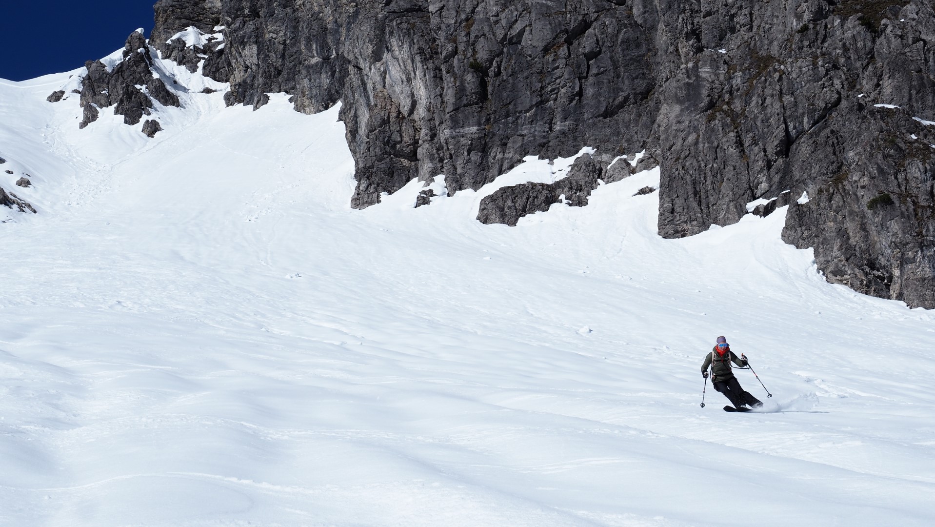
Heavy snowfall at the end of March blanketed this weak layer with fresh snow and a slab. Two cold snaps brought snowfall down to low altitudes, particularly in North Tirol and northern East Tirol. In western and northern regions of North Tirol there was generally 50 to 100 cm of fresh snow registered, in some places as much as 150 m. The snowfall was accompanied by winds from shifting directions.
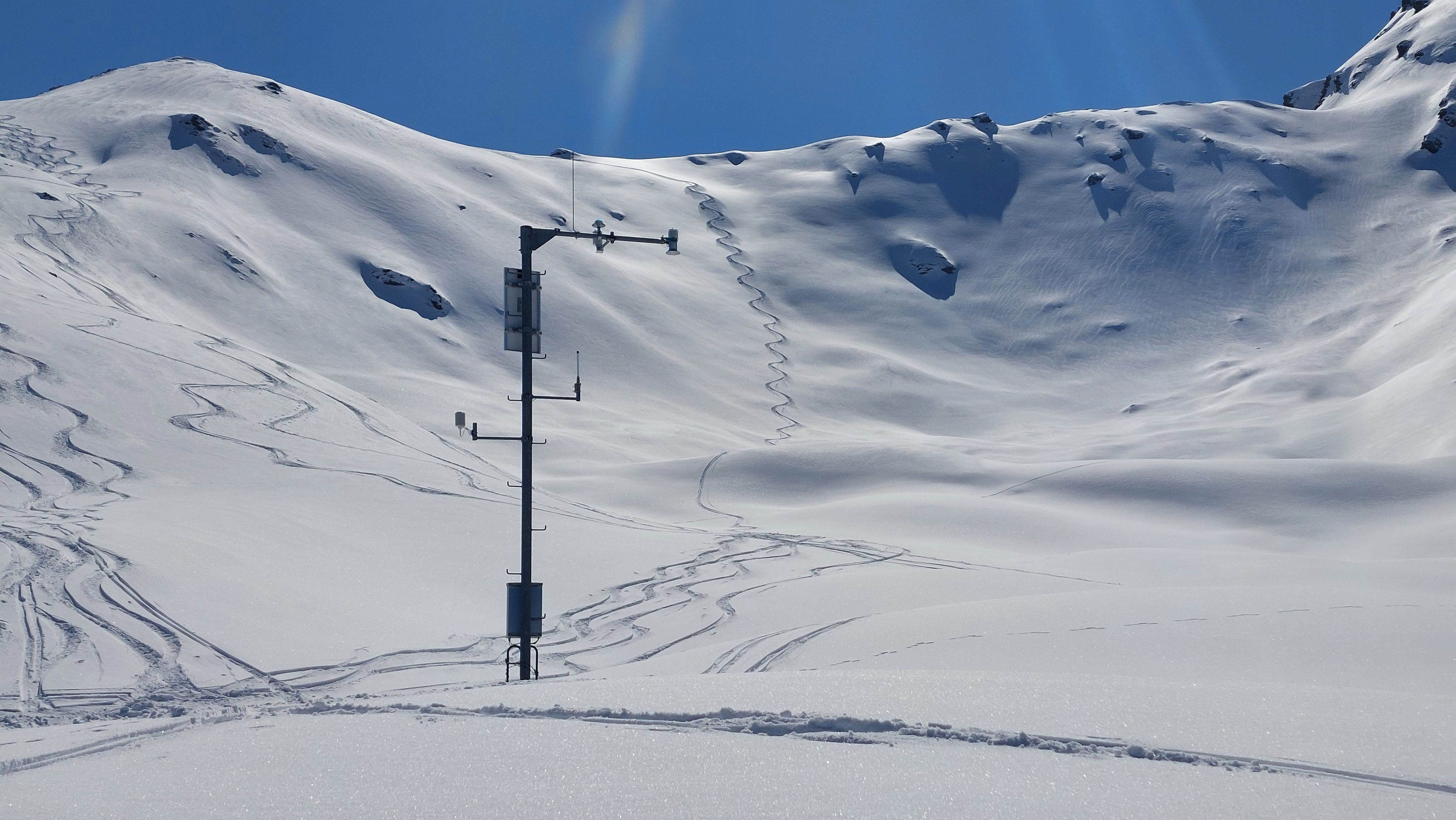
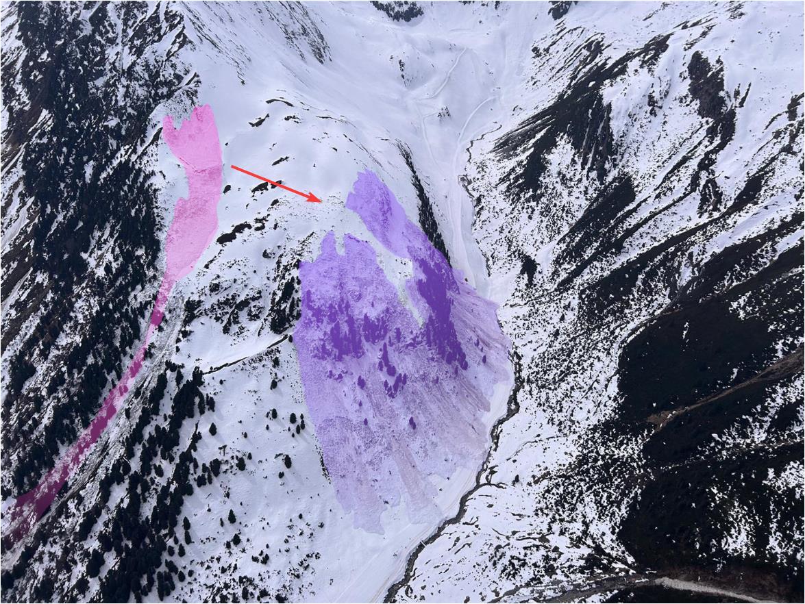
Naturally triggered avalanche activity remained limited relative to the amount of snow on the ground, but on the first fine-weather day after the period of precipitation on 28.03.2026, frequency of slab avalanches triggered by persons spiked. All in all on this day, 23 avalanches were registered at headquarters of the Avalanche Warning Service Tirol. Also the fatal avalanche incident on the Marchkopf in the Tux Alps occurred on that day. Significant was the above-described near-surface persistent weak layer problem which was generated during the fine-weather period in March.
From high winter…right into spring
If the end of March was still high winter, including powder snow and the need to work your way uphill tracking through deep snow, in early April high temperatures and solar radiation quickly amplified the process of the snowpack becoming thoroughly wet. Through water seepage, the weak layers forfeited their firmness. Wet-snow avalanches – particularly wet-snow slab avalanches – increasingly determined avalanche danger.
What is critical in such situations is the first instance marked weak layers inside the old snowpack become thoroughly wet. When water seeps through these layers, bonding between individual snow crystals weakens, which leads rapidly to a significant loss of firmness. In lieu of prior developments this winter, such a process – due to the unusually predominant weak layer – could be anticipated to a high degree.
What stands out is just how suddenly conditions got worse during the course of the day. In early morning, the snowpack was still capable of bearing loads, conditions appeared relatively stable. Yet as soon as the melt-freeze crust softened and mountaineers began to break into the snowpack, the situation abruptly changed. All of a sudden, whumpf-noises and remote triggerings were possible over a distance of hundreds of metres.
Old tracks were suddenly no longer a sign of safety, because the relevant weak layer lurked deep down inside the snowpack. The fatality below the “Mute” on 08.04.2026 during the afternoon corroborated this problem in tragic manner. The latter part of April was marked by a classic springtime situation: clear nights generated a melt-freeze crust capable of bearing loads, warmth and solar radiation during the daytime increased the danger of wet loose-snow and slab avalanches.
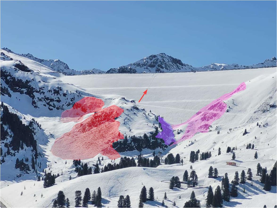
An unexpectedly relaxed finale
Towards the end of April, the situation quieted noticeably. Dry air, cool mornings and snowpack layering increasingly able to carry loads led in many regions to good firn snow conditions and a relatively favorable avalanche situation. On high shady slopes, a potential for large-sized slab avalanches persisted wherever the snowpack was not yet thoroughly wet down to the ground, in case of water penetration.
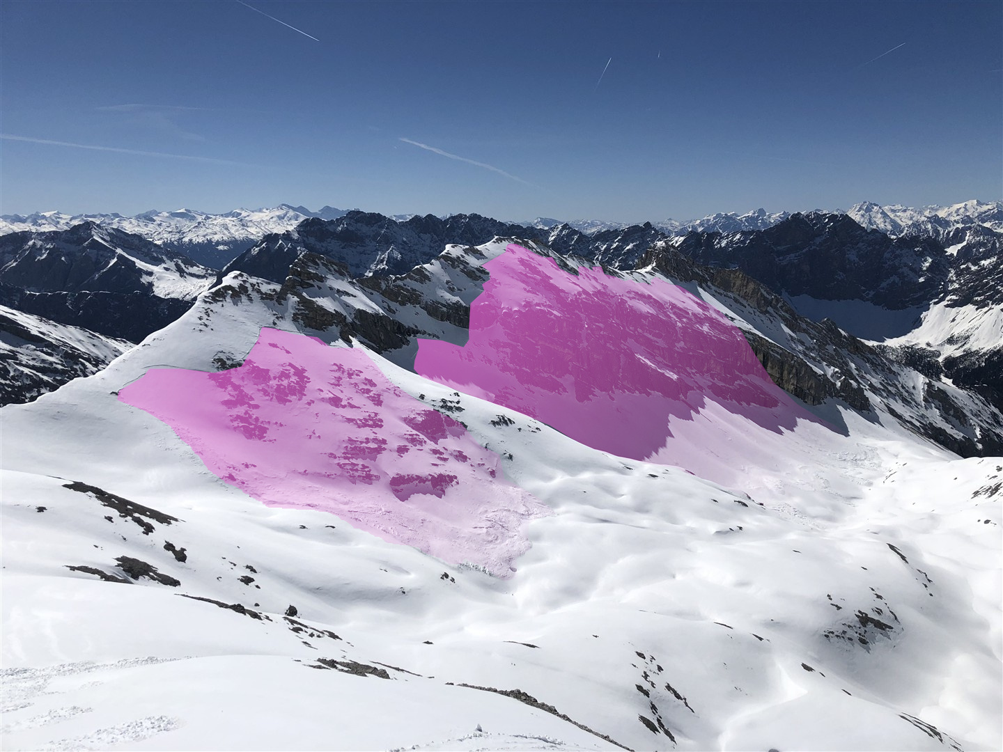
During the highly variable month of May, which had a frosty start, a heat wave towards the end of the month including a very small amount of precipitation, the snowpack receded rapidly even in high alpine regions. That is what happened in what GeoSphere Austria later recorded as the fourth-warmest June in history.