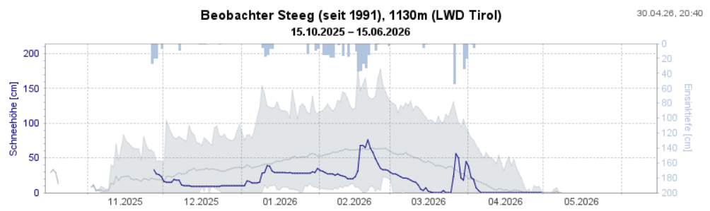
Much too dry and, on average, too warm is how April is coming to an end. According to Geosphere Austria (GSA), since 1856 only four Aprils have been drier. These dry weather conditions brought advantages with respect to avalanche danger. We’ve recently enjoyed a predominantly favorable avalanche situation for winter sports enthusiasts.
Predominantly favorable avalanche situation
The dry weather and somewhat low temperatures, at least in early morning, generated the prerequisites for a typical springtime situation with only a slight daytime danger cycle. With a bit of careful planning, descents were a joy both for backcountry skiers and those on the public ski slopes. Top quality firn snow and, on high-altitude shady slopes often powder snow, could be savored.
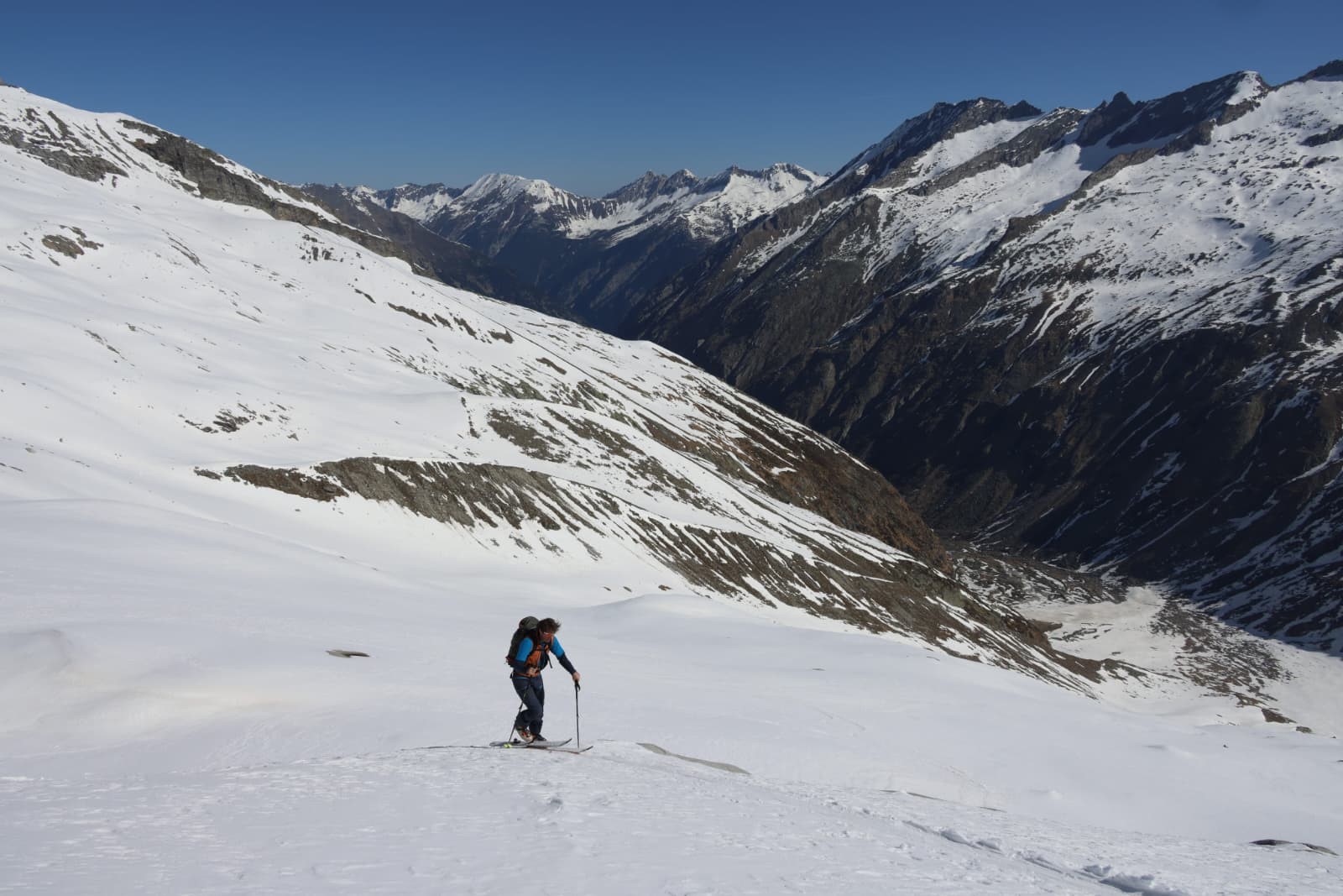
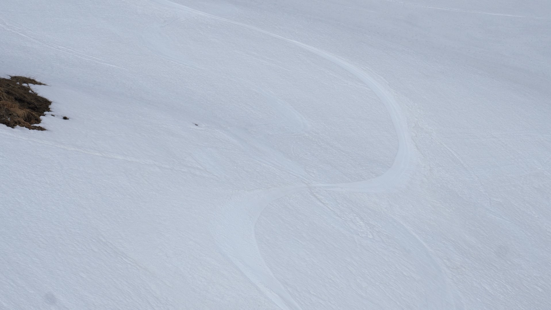
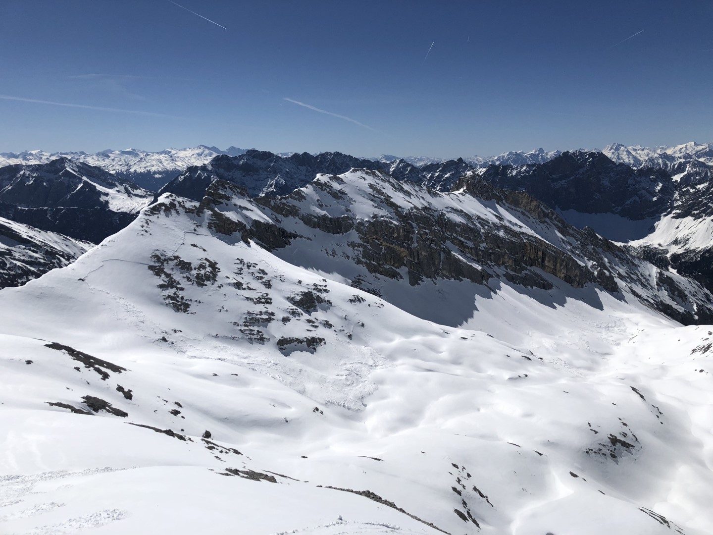
The joys of backcountry descents were only disturbed somewhat by the moist air masses which moved in from Tuesday 28.04 to Wednesday, 29.04, bringing some precipitation.
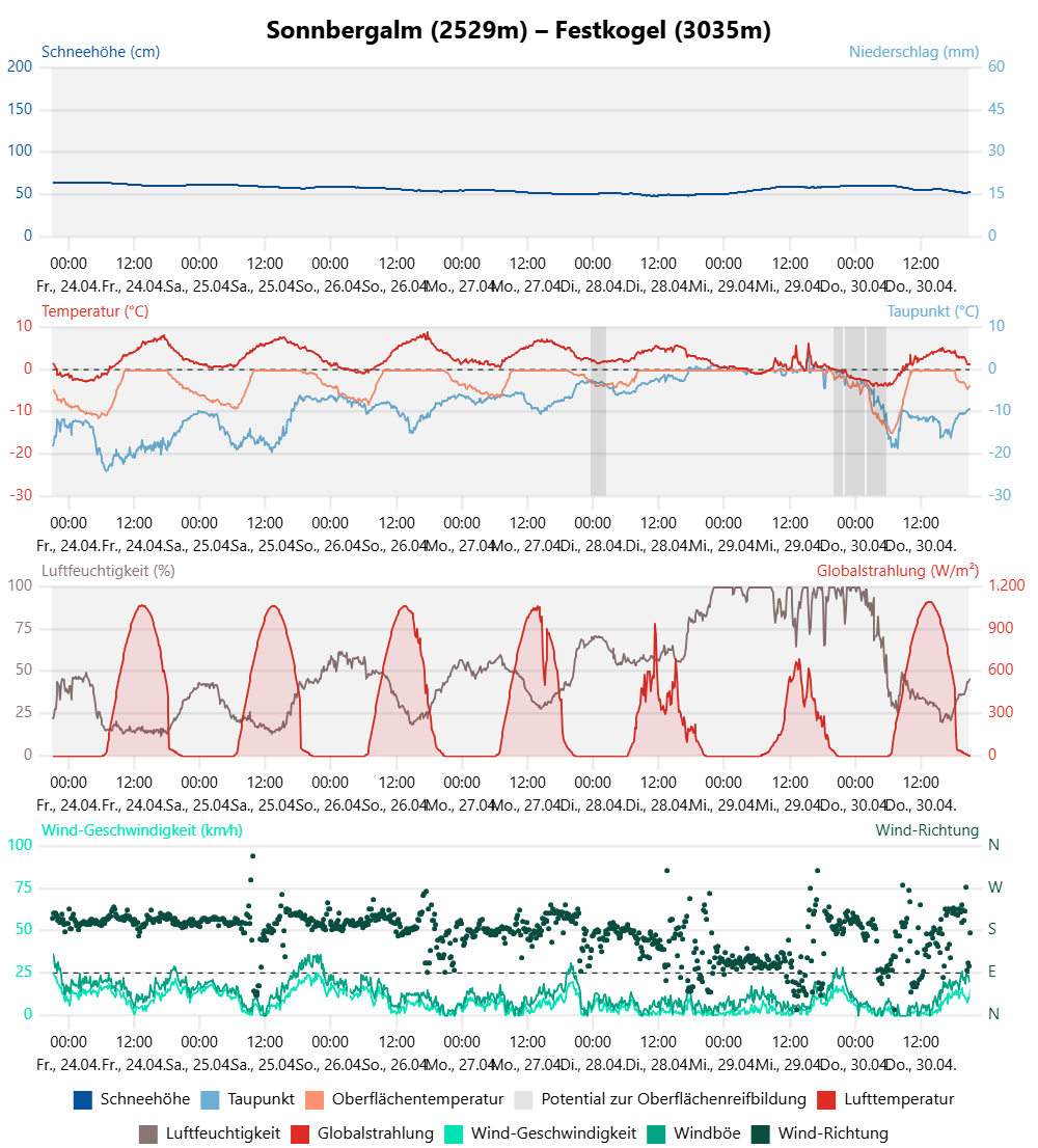
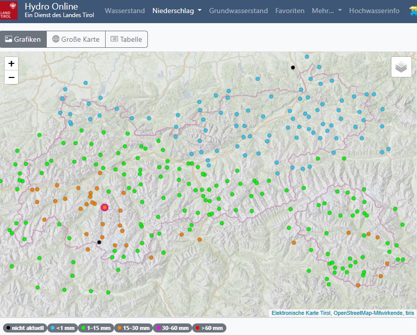
A brief spell of bad weather brought some precipitation on 28-29 April. At high altitudes, about 20cm of fresh snow was registered regionally.
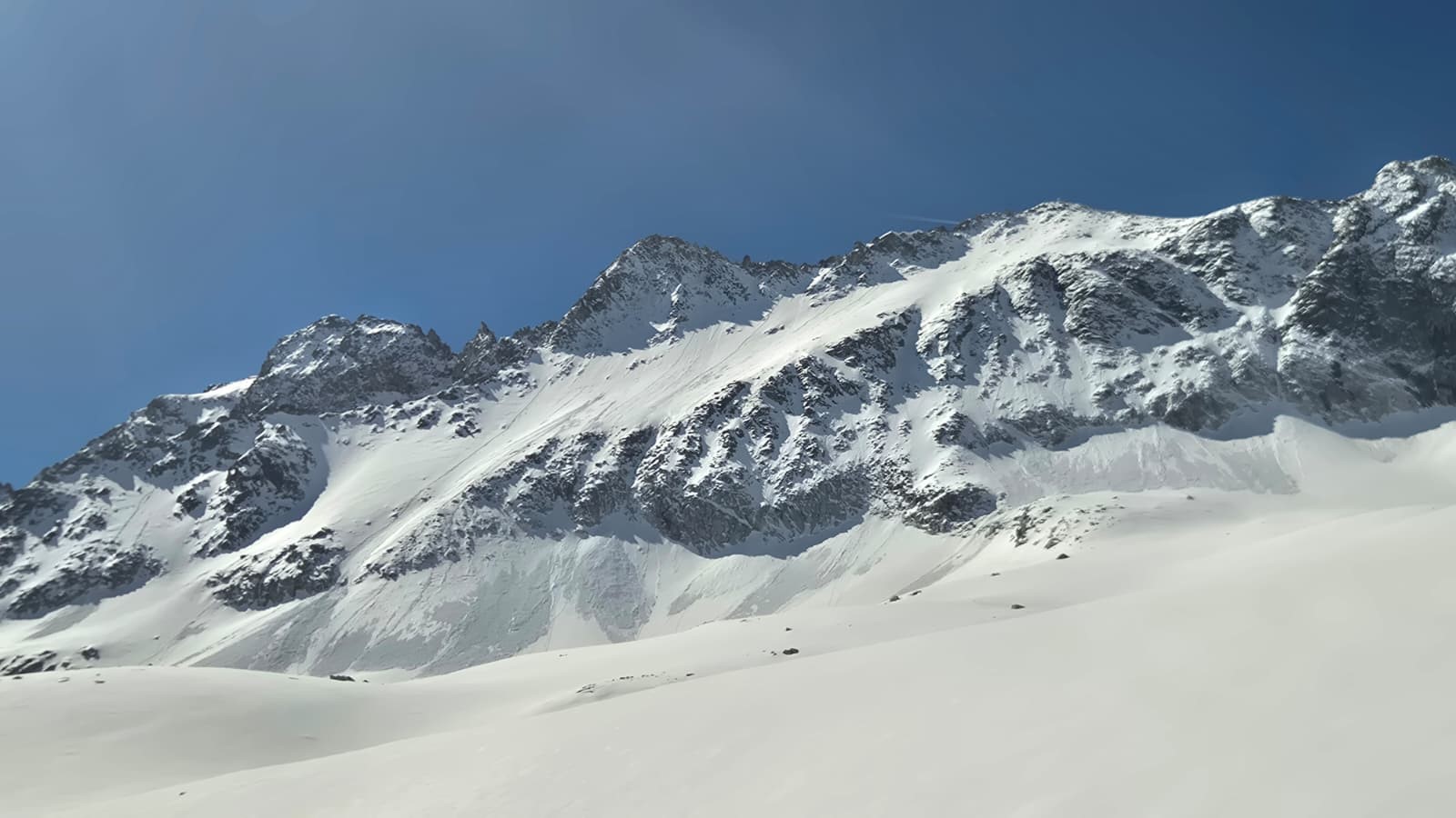
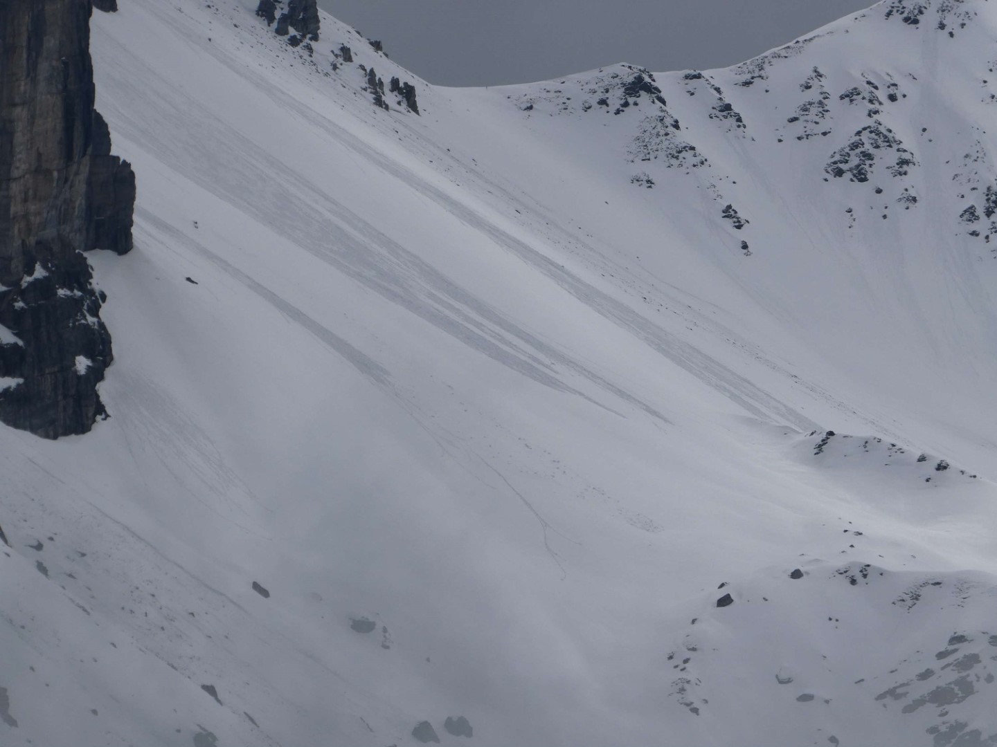
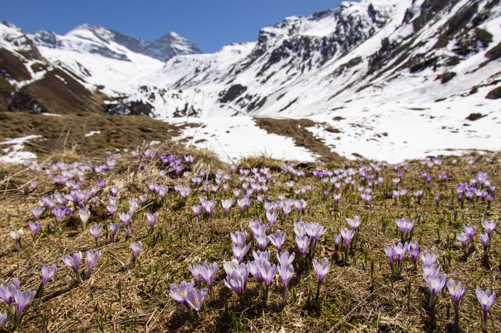
Spring is on the march
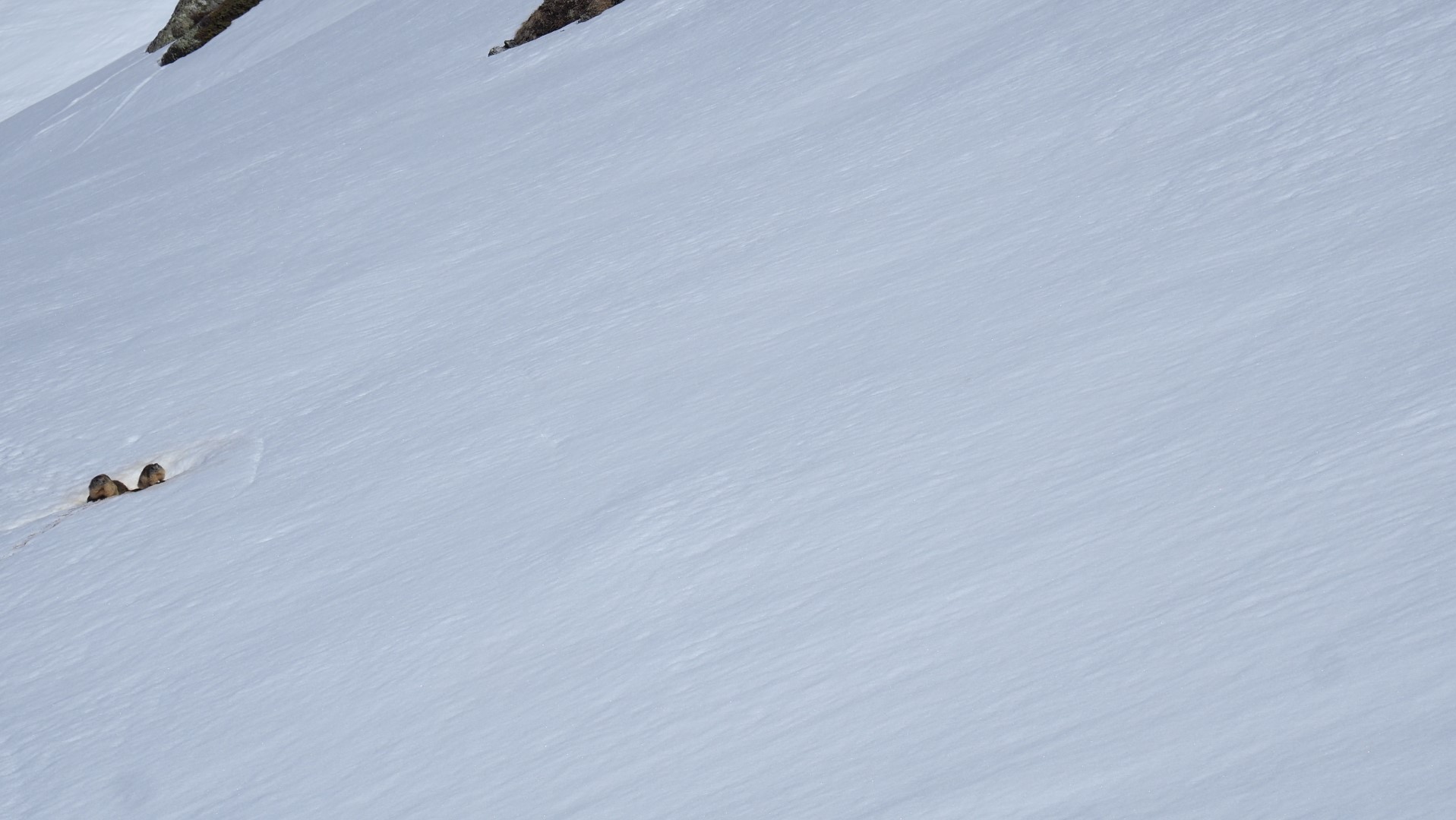
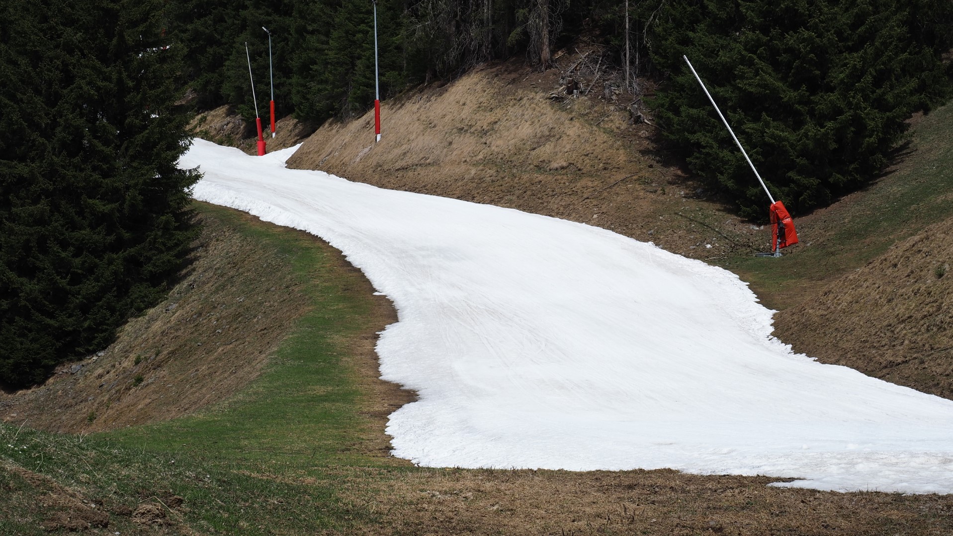
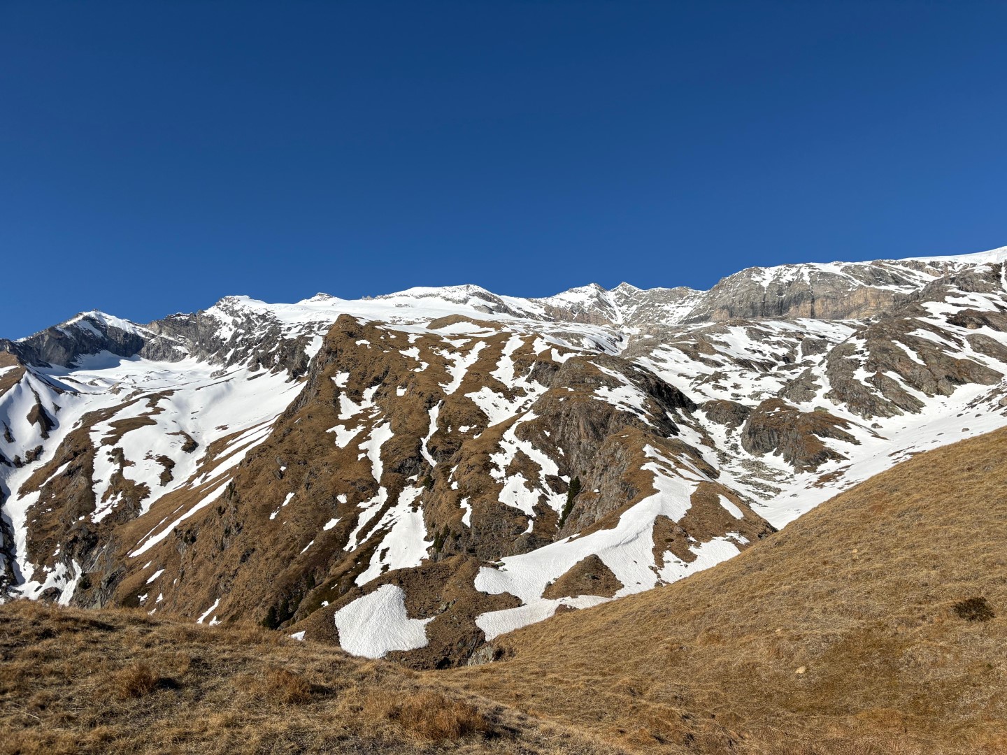
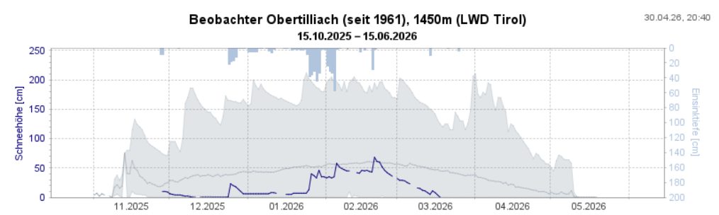
The above-cited dry and sunny weather (notably with very low air moisture) led to a reduction of snow depths both through melting and through sublimation processes (transition from solid-matter snow straight to gaseous form). The latter process slows down the increasing wetness of the snowpack by removing energy from it: a guarantee for outstanding firn snow, sometimes lasting even into afternoon.
What’s on the horizon?
The weather
According to Geosphere Austria (GSA), the Alps are now under the canopy of a high-pressure weather front whose focal point lies above the North Sea in a dry northeasterly airstream. This high is slowly moving to the southeast, and during the course of the weekend the high-altitude air current will shift to southwesterly and temperatures will rise to early-summer heights. Starting on Monday, 04.05, conditions are expected to become less stable, more variable. We anticipate less sunshine, accompanied by isolated showers.
The snowpack…and possible avalanche releases
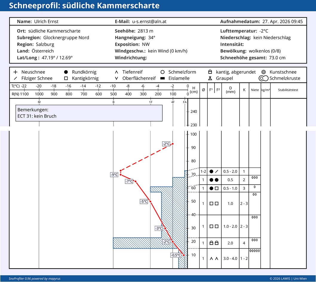
Currently, conditions are unusually calm and steady as regards slab avalanches. Nevertheless, even if we are ending the daily avalanche bulletins at the beginning of May which report snow-and-avalanche situations, there is still potential for large-sized slab avalanches. That will be the case wherever the snowpack is not yet thoroughly wet down to the ground, in other words, on shady slopes above approximately 2500m. That will occur when the weather conditions make the snowpack thoroughly wet in those zones.
Last daily Avalanche Bulletin on 02.05. for the 03.05.2026
In the interim, most of the ski refuges have closed and there are only scattered ski areas which are still open. That is always the time when we bring our daily reports of the snow-and-avalanche situation in Tirol (generally corresponding with the end of reports in the Euregio zone) to a halt.
It goes without saying that we shall continue to keep a sharp eye on the snow-and-avalanche situation in Tirol. In case of a serious negative change in the avalanche situation, we shall continue to supply information via the blog.
An immense THANK YOU…
goes out to all of you who over the course of this past season and its extremely trying conditions supported us with valuable information and reports from outlying terrain. Every single report is a much-appreciated building block, helping us to form a clear picture of the snow-and-avalanche situation at that moment, in that spot. It aids us not only to ongoingly improve the quality of the Avalanche Bulletin, but to also support all those people who are at work on it and making tough decisions of judgment and recommended behavior. We wish all of you a happy and healthy time ahead.