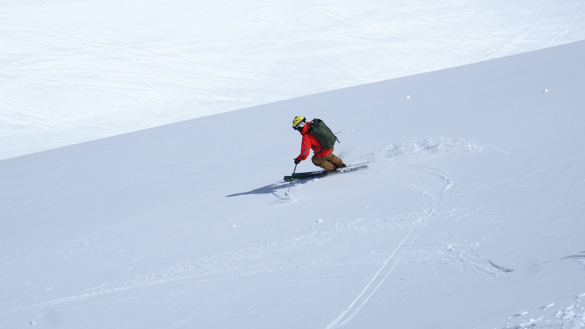
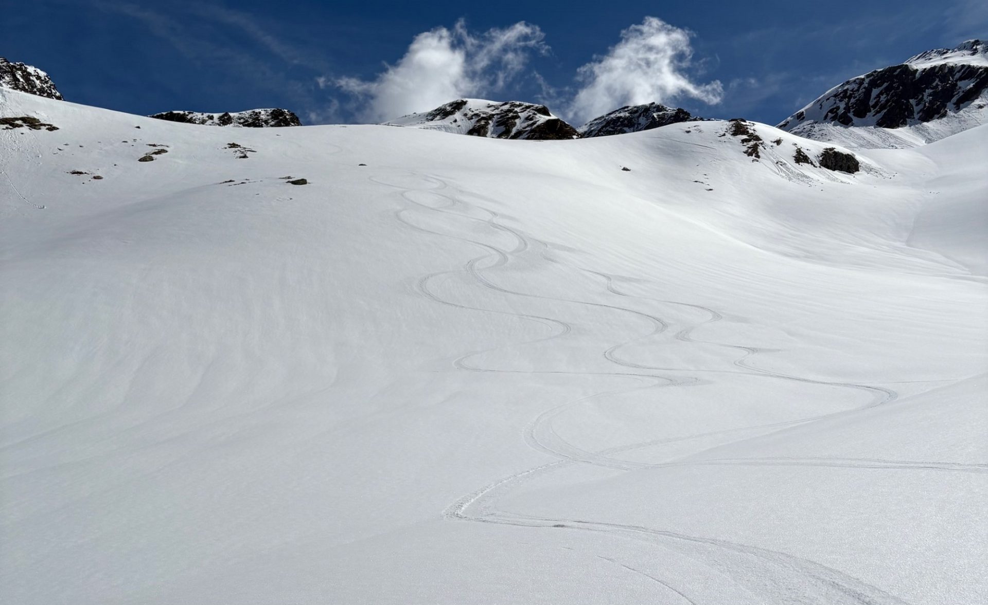
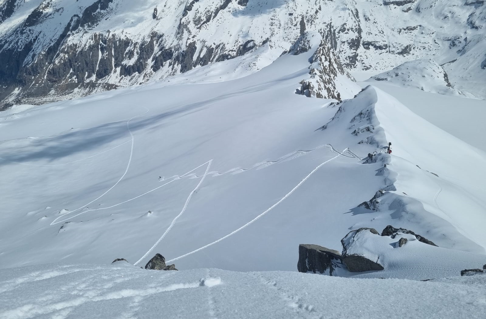
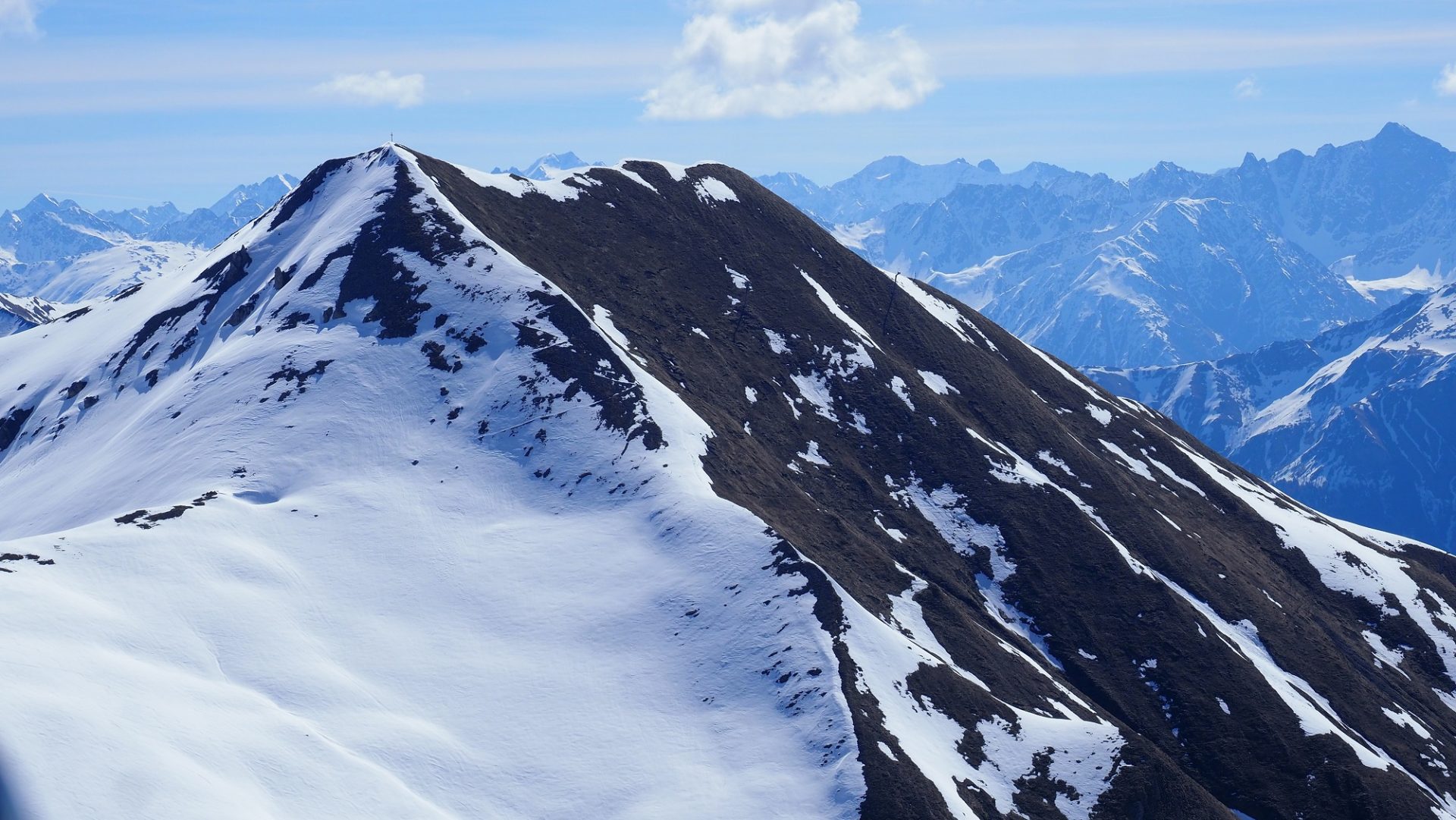
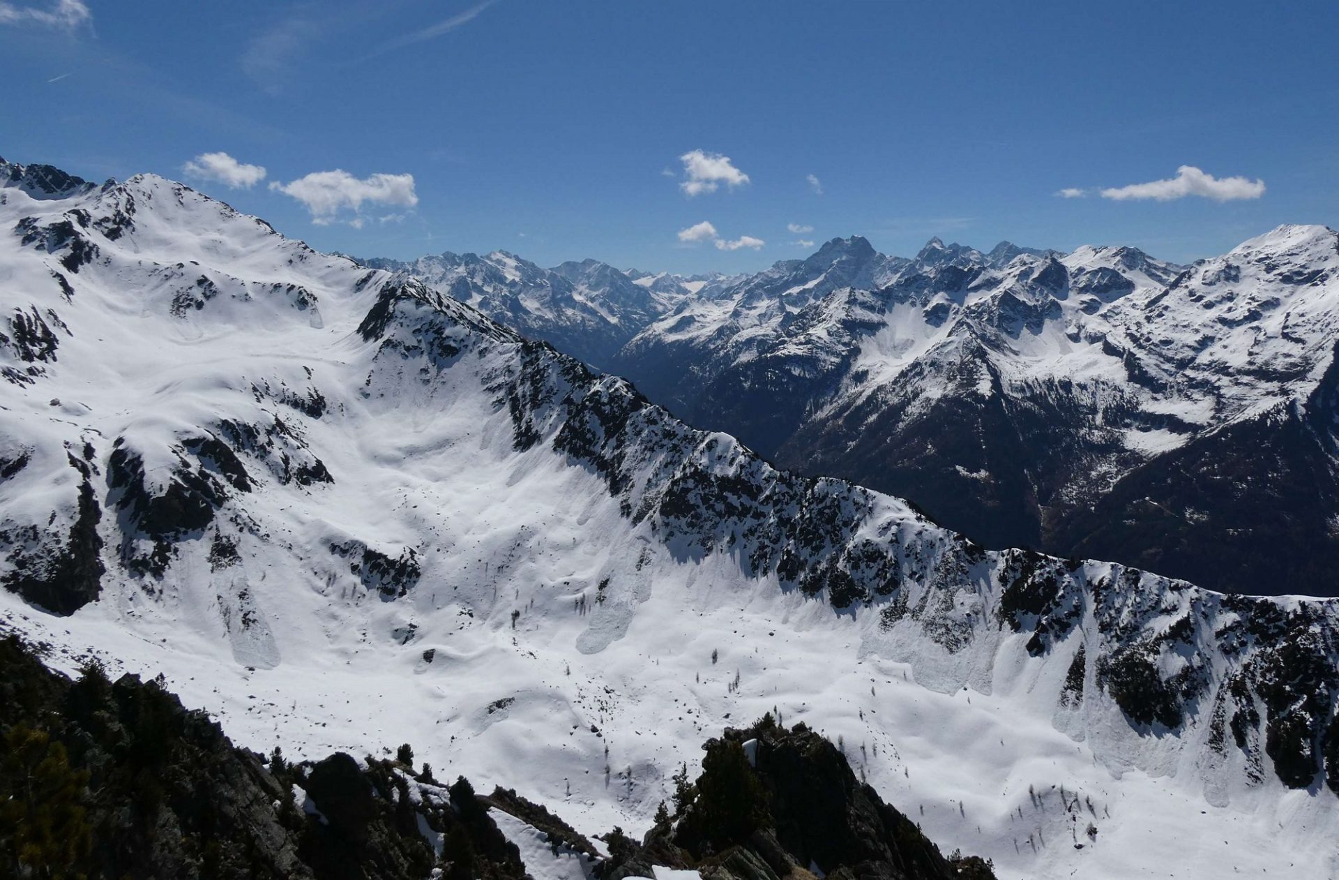
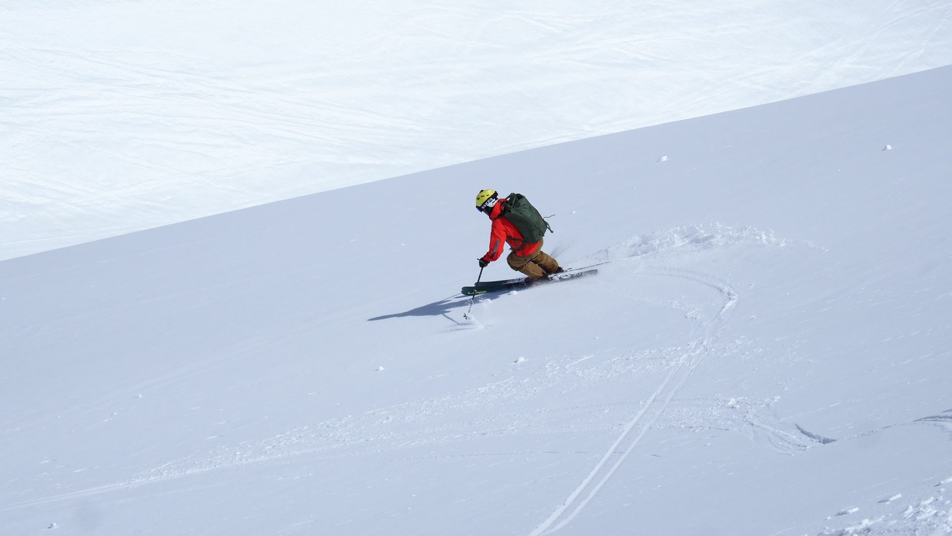
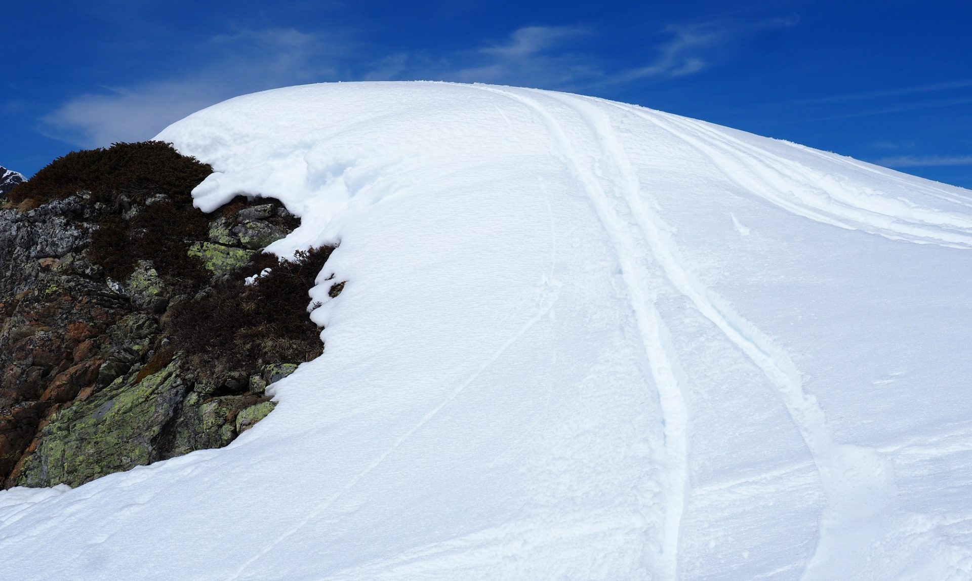
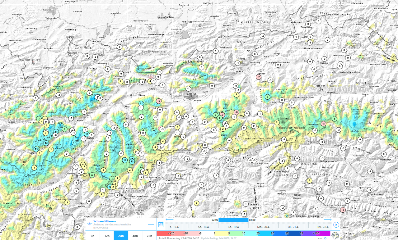
During nights with clear skies the snowpack surface freezes and is capable of bearing loads. During the daytime it softens up on sunny slopes and gradually down to below about 2500m. Avalanche danger is subject to a daytime cycle. If you launch your tour early and have good timing, the reward is good touring conditions…and best firn snow.
Current situation
Stable high-pressure front weather
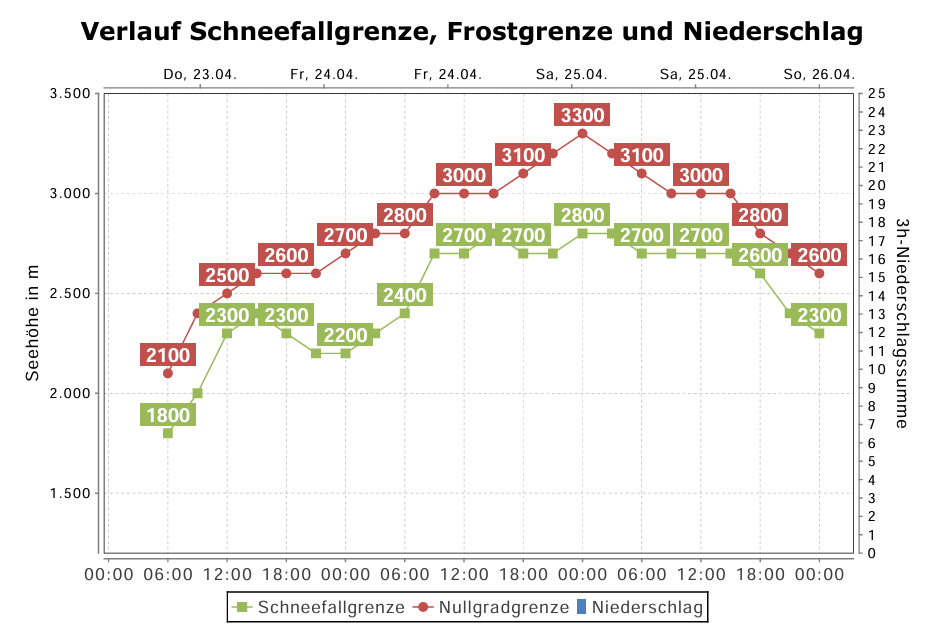
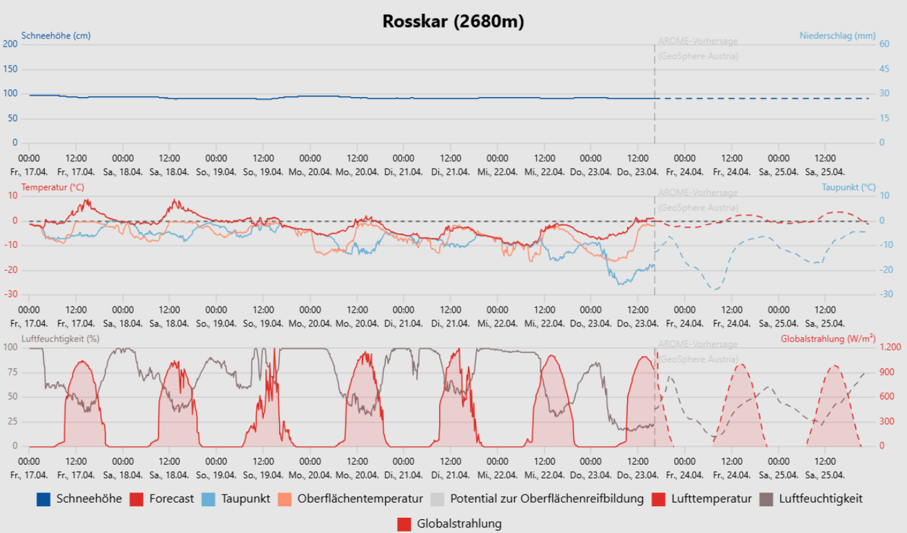
The air is dry, the nights are clear, during the day the sun is shining in usually cloudless skies. Temperatures will rise a bit in the next few days, the zero-degree level will ascend to above 3000m on Friday and Saturday. Next week conditions could become more variable. Starting on Sunday, temperatures will drop somewhat.
As a result of stable, dry weather, avalanche danger will be pleasantly non-exciting over the next few days. During nocturnal hours, a melt-freeze crust forms on the surface which is capable of bearing loads and gradually softens up during the day. As the crust softens, the likelihood of wet-snow avalanches triggering increases somewhat.
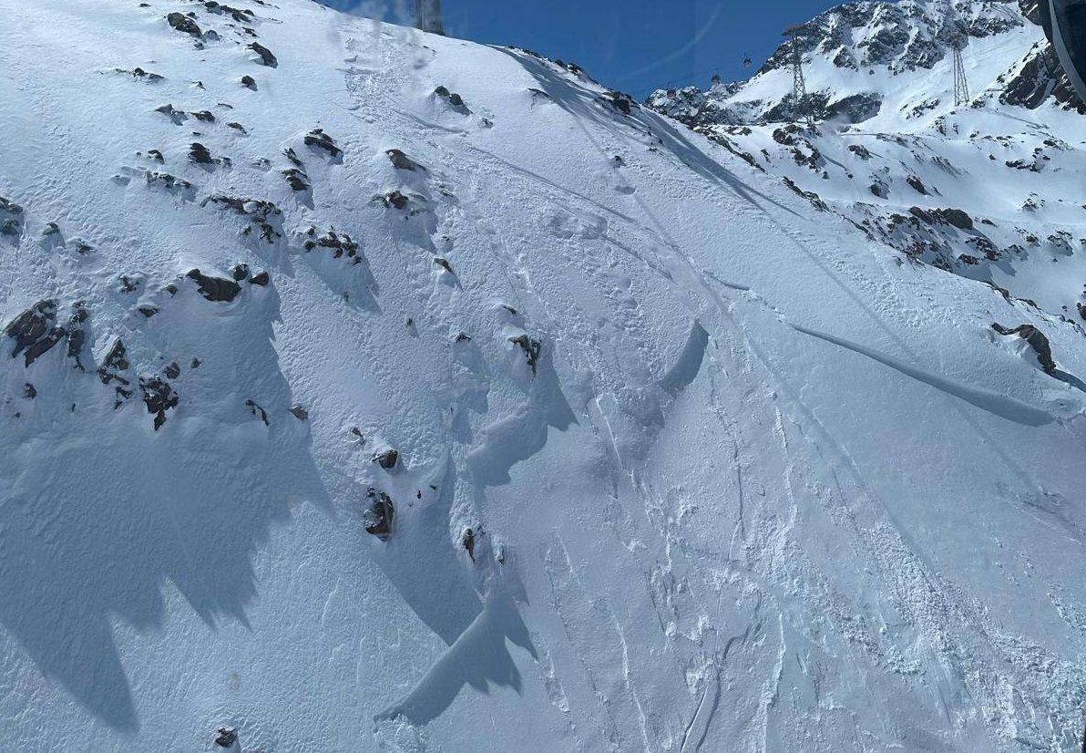
On extremely steep sunny slopes the thoroughly wet snow can trigger as a wet loose-snow slide as of about midday. In this context, the potential danger of taking a fall needs to be considered.
On very steep northwest, north and northeast-facing slopes below about 2500m and on very steep west and east-facing slopes below about 2800m, the frequency of avalanche prone locations for triggering weak ground-level layers in the old snow increase somewhat more as the melt-freeze crust softens. This is because persons press deeper into the softened snow, which can lead to fractures. Such danger zones occur seldom, but wet-snow slab avalanches which fracture have the potential to grow to dangerously large size.
An early-morning start and completing your tour early are doubly rewarded: higher snow quality, lower avalanche danger.