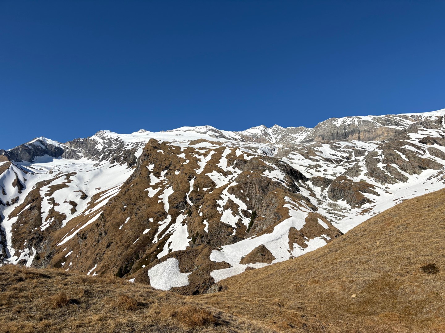
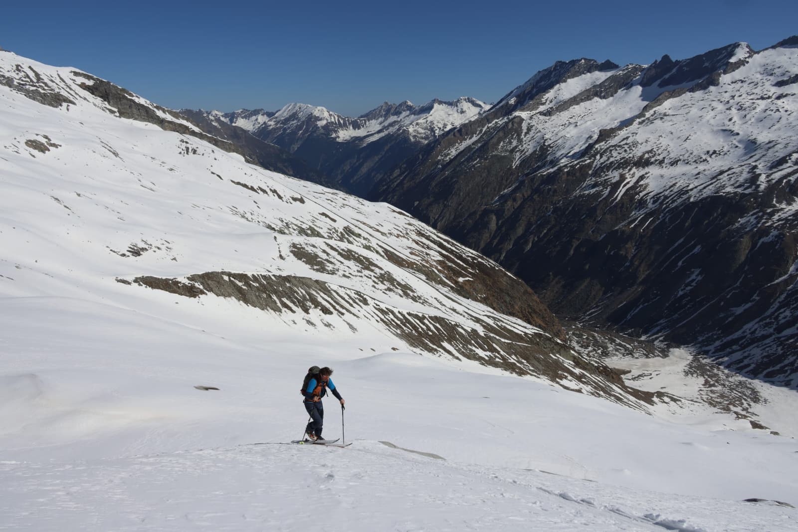
Der Schnee weicht, die Vegetation kommt. Wildlahnertal. Region Zillertaler Alpen Nordwest (©Julia Hitthaler, 26.04.2026).

Springtime situation: slight daytime danger cycle. Last daily avalanche bulletin of season on 2 May 2026 – Information provided in a blog whenever necessary

Much too dry and, on average, too warm is how April is coming to an end. According to Geosphere Austria (GSA), since 1856 only four Aprils have been drier. These dry weather conditions brought advantages with respect to avalanche danger. We’ve recently enjoyed a predominantly favorable avalanche situation for winter sports enthusiasts.

Predominantly favorable avalanche situation

The dry weather and somewhat low temperatures, at least in early morning, generated the prerequisites for a typical springtime situation with only a slight daytime danger cycle. With a bit of careful planning, descents were a joy both for backcountry skiers and those on the public ski slopes. Top quality firn snow and, on high-altitude shady slopes often powder snow, could be savored.
Unterwegs in den der Region Zillertaler Alpen Nordost am Weg Richtung Wollbachspitze (©Julia Hitthaler, 27.04.2026)
En route towards Wollbachspitze in the Zillertal Alps Northeast region (©Julia Hitthaler, 27.04.2026).
Firn vom Feinsten in der Samnaungruppe (©LWD Tirol, 26.04.2026).
Firn snow at its finest in the Samnaun Massif (©LWD Tirol, 26.04.2026).
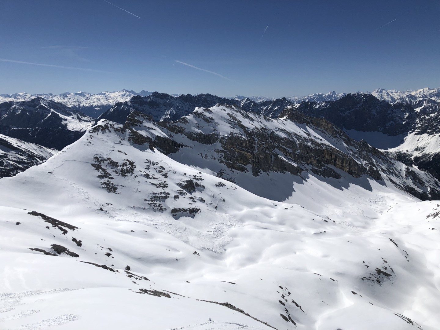
Unterwegs im Karwendel. Interessant im Hintergrund die großflächige, bodennah gebrochene, ältere Schneebrettlawine (©Paula Spannring, 25.04.2026).
En route in the Karwendel. Interesting in background: the large-scale ground-level older slab avalanche which unleashed (©Paula Spannring, 25.04.2026).

The joys of backcountry descents were only disturbed somewhat by the moist air masses which moved in from Tuesday 28.04 to Wednesday, 29.04, bringing some precipitation.
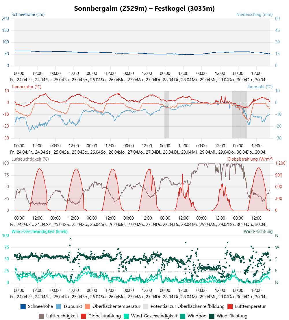
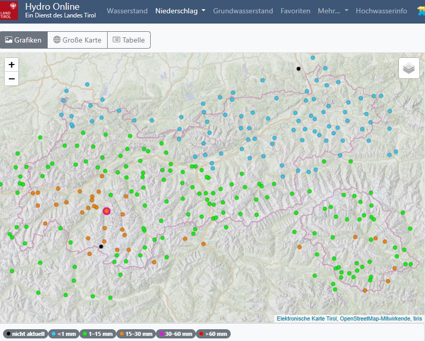
Überwiegend trockenes und sonniges Wetter mit einer Eintrübung vom Dienstag, 28.04. auf MIttwoch, 29.04.2026. Wetterstation Sonnbergalm / Festkogel in der Gurgler Gruppe.
Predominantly dry and sunny weather, gloomy skies only from Tuesday, 28.04 to Wednesday, 29.04. Sonnbergalm weather station / Festkogel in the Gurgl Massif.

Eine kurze Wetterverschlechterung brachte zwischen dem 28.04. und dem 29.04.2026 etwas Niederschlag. In der Höhe kamen gebietsweise bis etwa 20cm Neuschnee zusammen.

A brief spell of bad weather brought some precipitation on 28-29 April. At high altitudes, about 20cm of fresh snow was registered regionally.
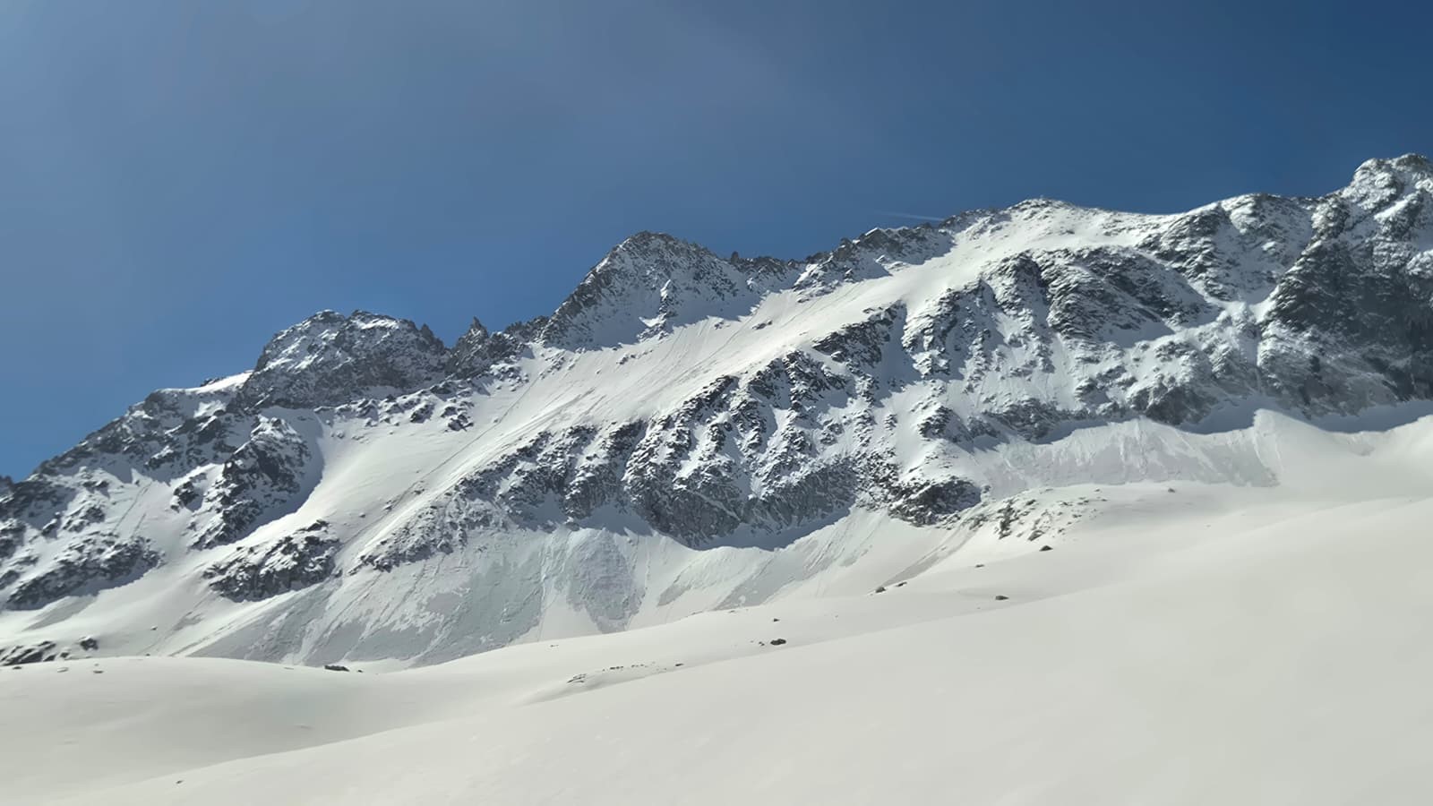
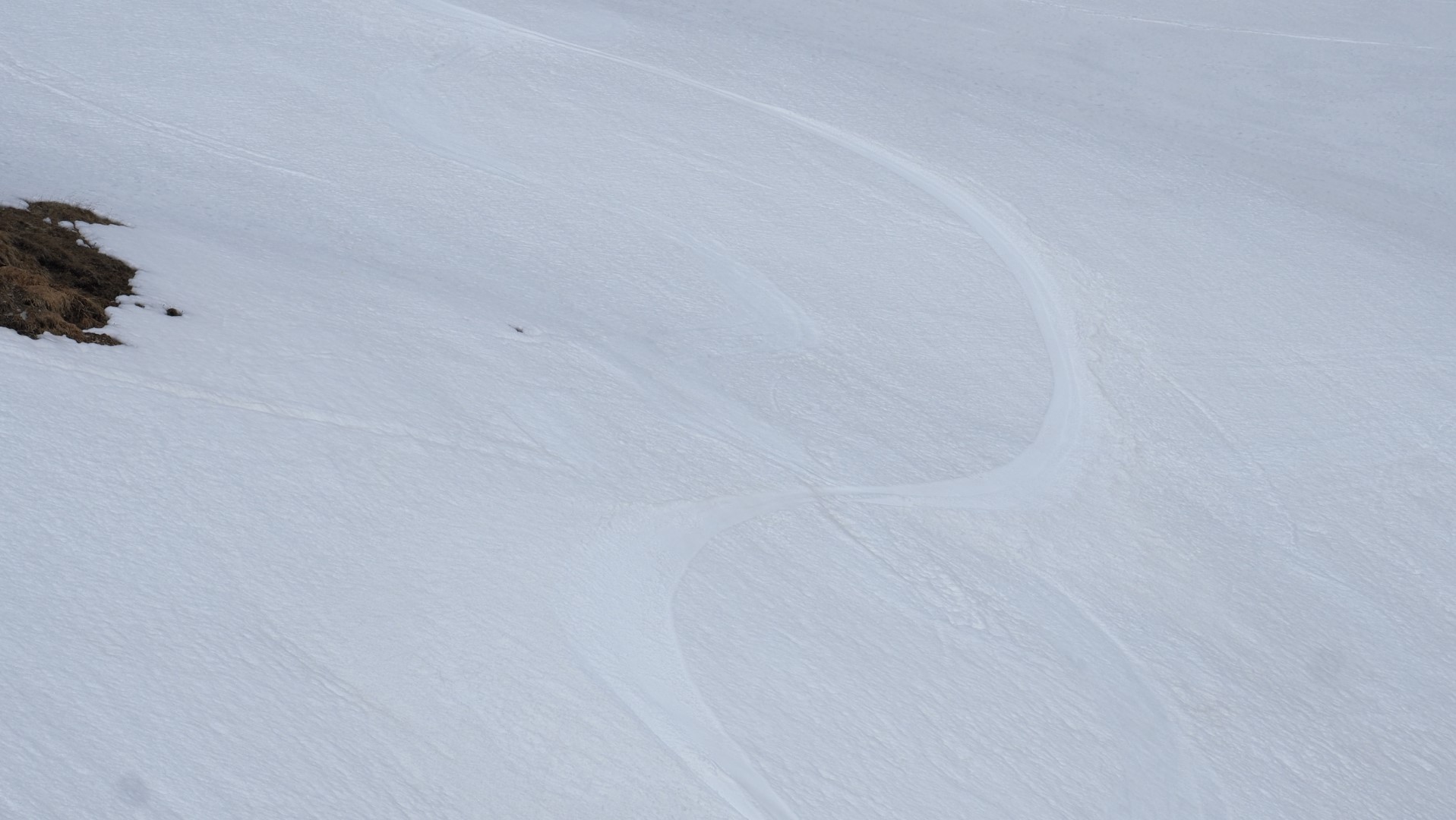
Der frische Neuschnee reagierte mit der beginnenden Wetterbesserung ab dem 29.04. sofort und löste sich im extrem steilen Gelände in Form von Lockerschneerutschen. Interessante Beobachtung: In höheren Lagen, dort wo es etwas mehr schneite, isolierte der Neuschnee die während des Einschneiens feuchte Schneedecke. Fazit: In tieferen Lagen mit Regeneinfluss bzw. geringen Neuschneemengen konnte die Schneedecke während der langsam aufklarenden Nacht vom 29.04. auf den 30.04. besser ausstrahlen als weiter oben. Folglich hatte man es in vergleichsweise tieferen Lagen mit besseren Abfahrtsbedingungen zu tun. Rieserfernergruppe (©Mark Kleinlercher, 30.04.2026).
The fresh fallen snow reacted swiftly to the early phase of fine weather starting on 29 April and triggered loose-snow slides in extremely steep terrain. Interesting observation: at higher altitudes wherever there had been greater amounts of snowfall, the fresh snow insulated the moist snowpack surface which had formed during the snowfall. Upshot: at lower altitudes where there was rain impact or lesser amounts of fresh snow, the snowpack during the night of 29-30 April had markedly better outgoing radiation as the skies slowly cleared up, than at higher altitudes. As a result, the skiing conditions were better at lower altitudes. Rieserferner Massif (©Mark Kleinlercher, 30.04.2026).
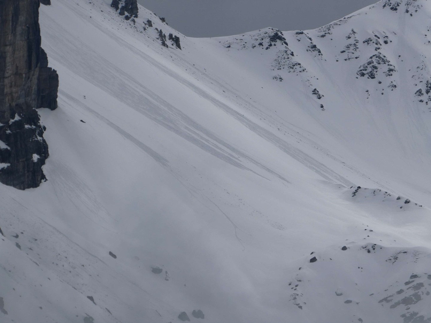
Lockerschneerutsche auch in der Region Kalkkögel (©Barbara Fink, 29.04.2026).
Loose-snow slides also in the Kalkkögel region (©Barbara Fink, 29.04.2026).

Spring is on the march

The above-cited dry and sunny weather (notably with very low air moisture) led to a reduction of snow depths both through melting and through sublimation processes (transition from solid-matter snow straight to gaseous form). The latter process slows down the increasing wetness of the snowpack by removing energy from it: a guarantee for outstanding firn snow, sometimes lasting even into afternoon.
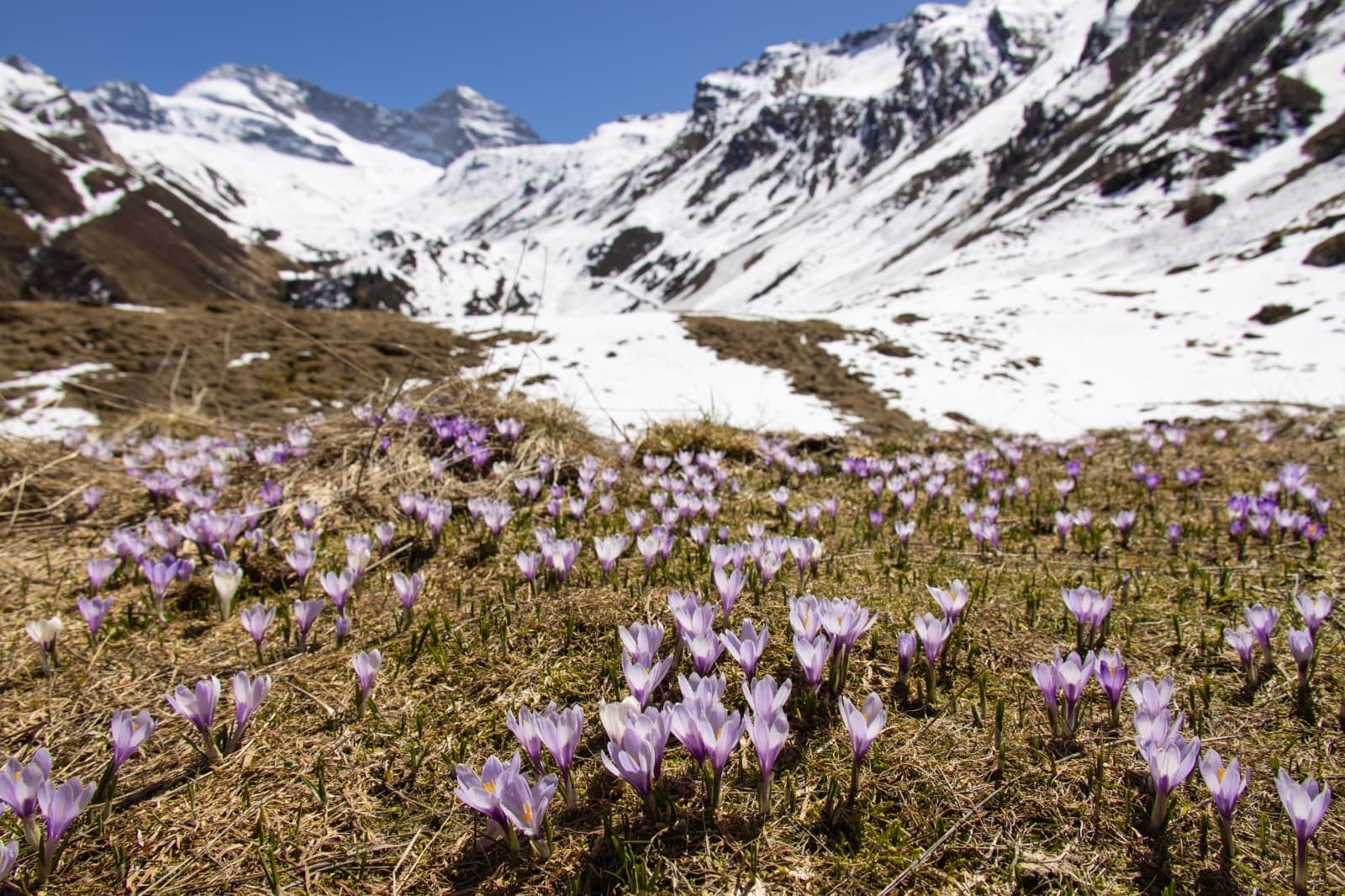
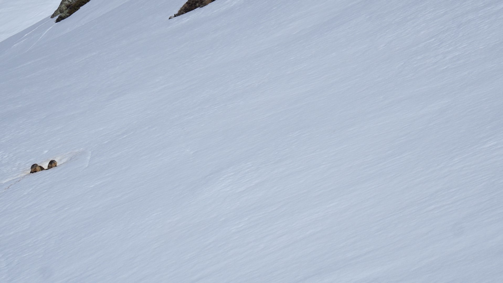
Der Schnee weicht, die Vegetation kommt. Wildlahnertal. Region Zillertaler Alpen Nordwest (©Julia Hitthaler, 26.04.2026).
Snow recedes and poof, vegetation emerges. Wildlahnertal. Zillertal Alps Northwest region (©Julia Hitthaler, 26.04.2026).
Die Murmeltiere (links am Bildrand) als Vorboten des Frühlings in den Bergen. Samnaungruppe  (©LWD Tirol, 26.04.2026).
Marmottes (far left) are traditional harbingers of springtime in the mountains. Samnaun Massif (©LWD Tirol, 26.04.2026).
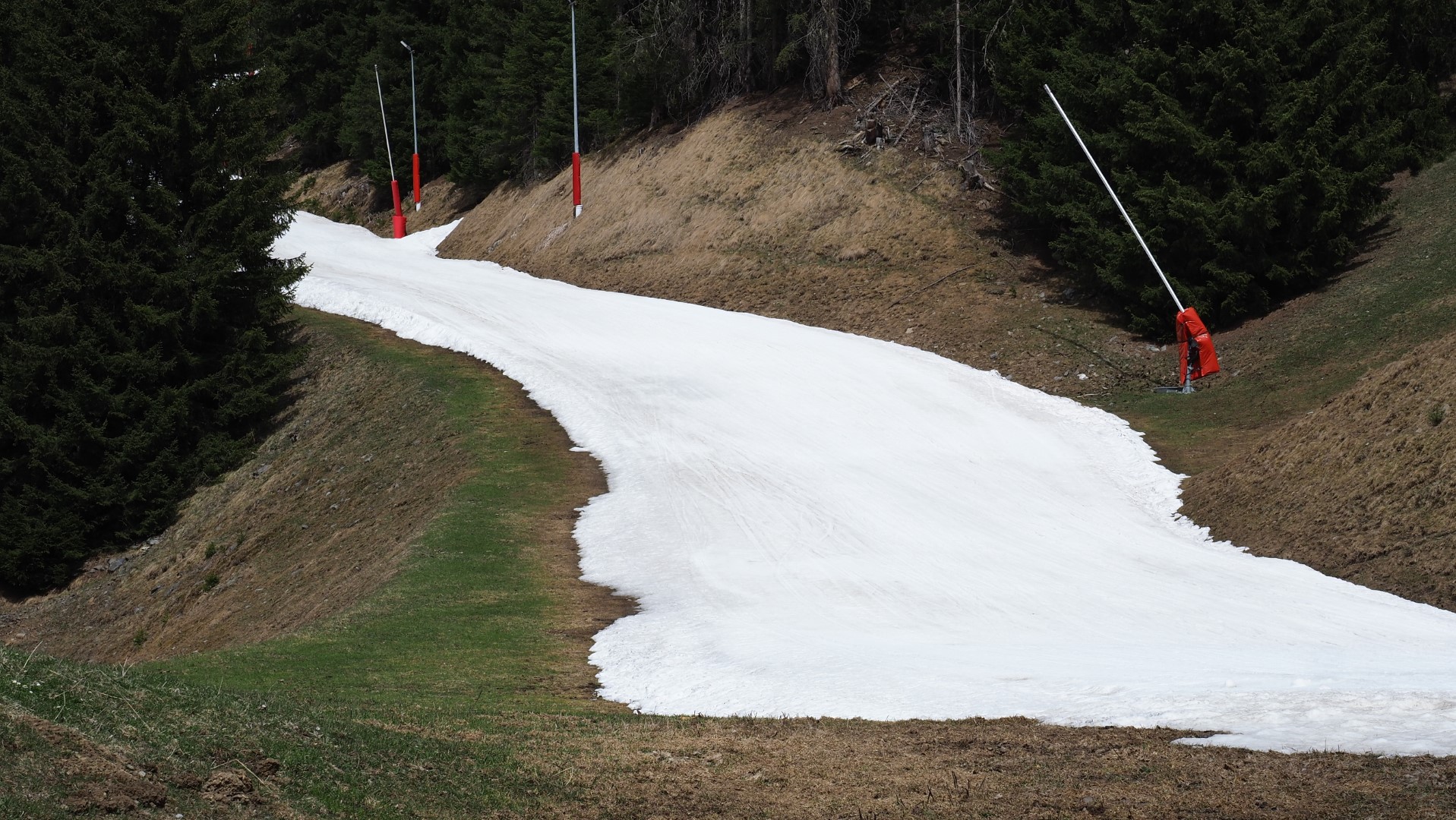
Kunstschneebänder lassen eine Abfahrt bis ins Tal noch zu, wie hier im Skigebiet Silvretta Skiarena oberhalb von Ischgl (©LWD Tirol, 26.04.2026).
A ribbon of artificial snow sometimes permits descents down to the valley floor, as here in the Silvretta Skiarena ski area above Ischgl (©LWD Tirol, 26.04.2026).
In besonnten Hängen sowie unterhalb der Waldgrenze oftmals nur mehr wenig Schnee - wie hier im nördlichen Osttirol (©Anton Riepler, 27.04.2026)
On sunny slopes, as well as below the timberline, there is often very little snow on the ground, or none at all – such as here in northern East Tirol (©Anton Riepler, 27.04.2026).
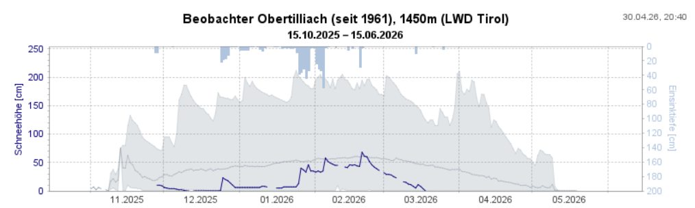
Am schneeärmsten war der Winter im südlichen Osttirol. Dargestellt sind die bisher gemessenen Maxima und Minima sowie der Mittelwert und der Schneehöhenverlauf dieser Saison.
Least snow of all this winter was to be found in southern East Tirol. In graph: the maxima and minima values measured to date plus the middle value and the course of snow depth development through this season.
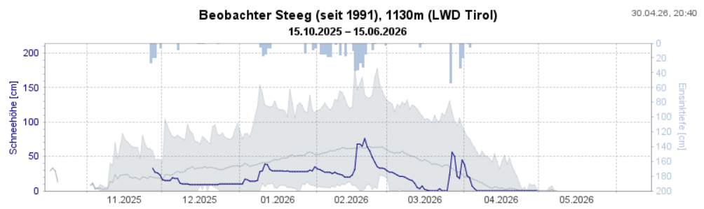
Zum Vergleich die aufgezeichneten Schneehöhen unseres Beobachters in Steeg. Auch hier dominierte ein schneearmer Winter.
As a comparison, snow depths recorded by our observer in Steeg. Also here, the winter was notably low in snowfall.

What’s on the horizon?

The weather

According to Geosphere Austria (GSA), the Alps are now under the canopy of a high-pressure weather front whose focal point lies above the North Sea in a dry northeasterly airstream. This high is slowly moving to the southeast, and during the course of the weekend the high-altitude air current will shift to southwesterly and temperatures will rise to early-summer heights. Starting on Monday, 04.05, conditions are expected to become less stable, more variable. We anticipate less sunshine, accompanied by isolated showers.

The snowpack…and possible avalanche releases

Currently, conditions are unusually calm and steady as regards slab avalanches. Nevertheless, even if we are ending the daily avalanche bulletins at the beginning of May which report snow-and-avalanche situations, there is still potential for large-sized slab avalanches. That will be the case wherever the snowpack is not yet thoroughly wet down to the ground, in other words, on shady slopes above approximately 2500m. That will occur when the weather conditions make the snowpack thoroughly wet in those zones.
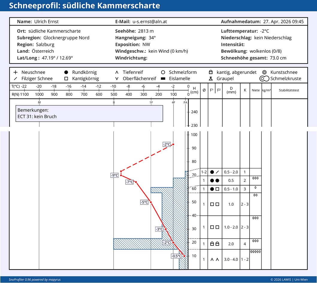
Bei dem in der Glocknergruppe aufgenommenen Schneeprofil auf etwa 2800m in einem sehr steilen NW-Hang gibt es noch Temperaturreserven. Man erkennt das vergleichsweise weichere Schneedeckenfundament, welches aktuell nicht bzw. nur in Ausnahmefällen zu stören sein wird. ALLERDINGS: Bei Nässeeintrag ist eine neuerliche Schwächung dieses Fundaments als wahrscheinlich anzusehen. Ab dann muss dort wieder mit möglichen Schneebrettlawinen gerechnet werden.
In the snow profile from the Glockner Massif at about 2800m altitude on a very steep northwest-facing slope, there are still temperature reserves. Visible is the relatively soft snowpack fundament which is currently unlikely to trigger, except in exceptional cases. HOWEVER: if it becomes wet, that will decidedly weaken the fundament. As of that point in time, slab avalanches can again be expected.

Last daily Avalanche Bulletin on 02.05. for the 03.05.2026

In the interim, most of the ski refuges have closed and there are only scattered ski areas which are still open. That is always the time when we bring our daily reports of the snow-and-avalanche situation in Tirol (generally corresponding with the end of reports in the Euregio zone) to a halt.

It goes without saying that we shall continue to keep a sharp eye on the snow-and-avalanche situation in Tirol. In case of a serious negative change in the avalanche situation, we shall continue to supply information via the blog.

An immense THANK YOU…

goes out to all of you who over the course of this past season and its extremely trying conditions supported us with valuable information and reports from outlying terrain. Every single report is a much-appreciated building block, helping us to form a clear picture of the snow-and-avalanche situation at that moment, in that spot. It aids us not only to ongoingly improve the quality of the Avalanche Bulletin, but to also support all those people who are at work on it and making tough decisions of judgment and recommended behavior. We wish all of you a happy and healthy time ahead.