Eine gut überlegte Zeiteinteilung und Tourenplanung unter Einbezug von Exposition, Höhe und Steilheit – kombiniert mit den prognostizierten Wetterparametern – ist im Frühjahr der Schlüssel zu gutem, butterweichem Firn. Manchmal aber hat man auch nur Glück (©LWD Tirol, 17.04.2026).

Splendid spring weather with good backcountry touring conditions

During nights with clear skies the snowpack surface freezes and is capable of bearing loads. During the daytime it softens up on sunny slopes and gradually down to below about 2500m. Avalanche danger is subject to a daytime cycle. If you launch your tour early and have good timing, the reward is good touring conditions…and best firn snow.

Current situation

Stable high-pressure front weather

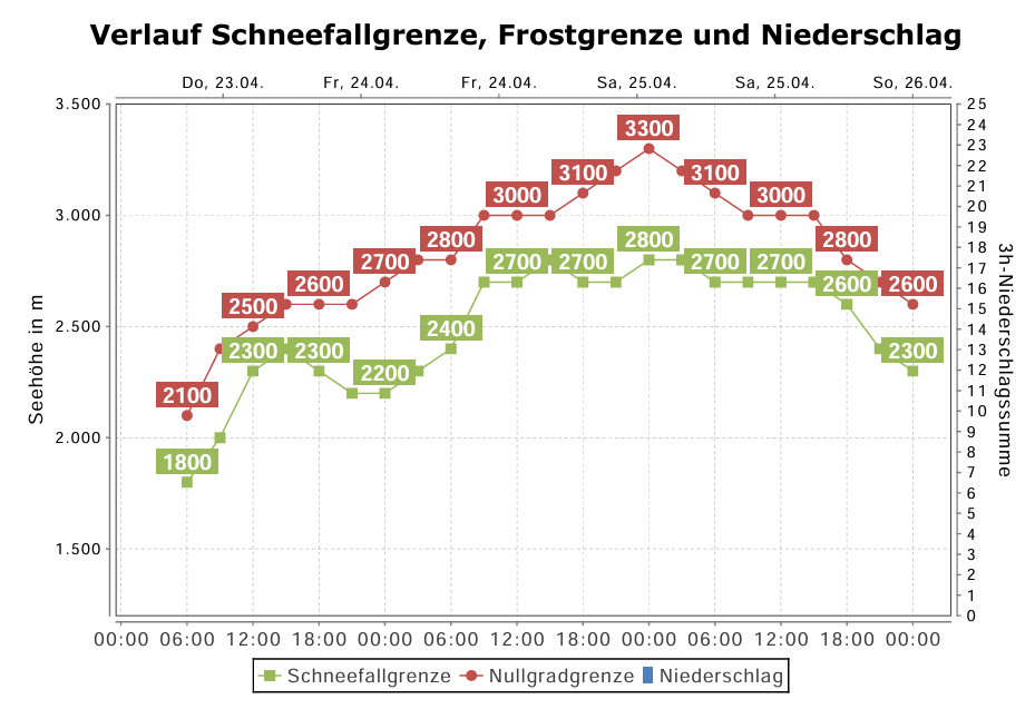
The air is dry, the nights are clear, during the day the sun is shining in usually cloudless skies. Temperatures will rise a bit in the next few days, the zero-degree level will ascend to above 3000m on Friday and Saturday. Next week conditions could become more variable. Starting on Sunday, temperatures will drop somewhat.

Verlauf der Frostgrenze bis Sonntag, 26. April (©Oberlandwetter)
Course of zero-degree level until Sunday, 26 April (©Oberlandwetter)

Daytime cycle of wet-snow avalanche danger

As a result of stable, dry weather, avalanche danger will be pleasantly non-exciting over the next few days. During nocturnal hours, a melt-freeze crust forms on the surface which is capable of bearing loads and gradually softens up during the day. As the crust softens, the likelihood of wet-snow avalanches triggering increases somewhat.

On extremely steep sunny slopes the thoroughly wet snow can trigger as a wet loose-snow slide as of about midday. In this context, the potential danger of taking a fall needs to be considered.

On very steep northwest, north and northeast-facing slopes below about 2500m and on very steep west and east-facing slopes below about 2800m, the frequency of avalanche prone locations for triggering weak ground-level layers in the old snow increase somewhat more as the melt-freeze crust softens. This is because persons press deeper into the softened snow, which can lead to fractures. Such danger zones occur seldom, but wet-snow slab avalanches which fracture have the potential to grow to dangerously large size.

An early-morning start and completing your tour early are doubly rewarded: higher snow quality, lower avalanche danger.
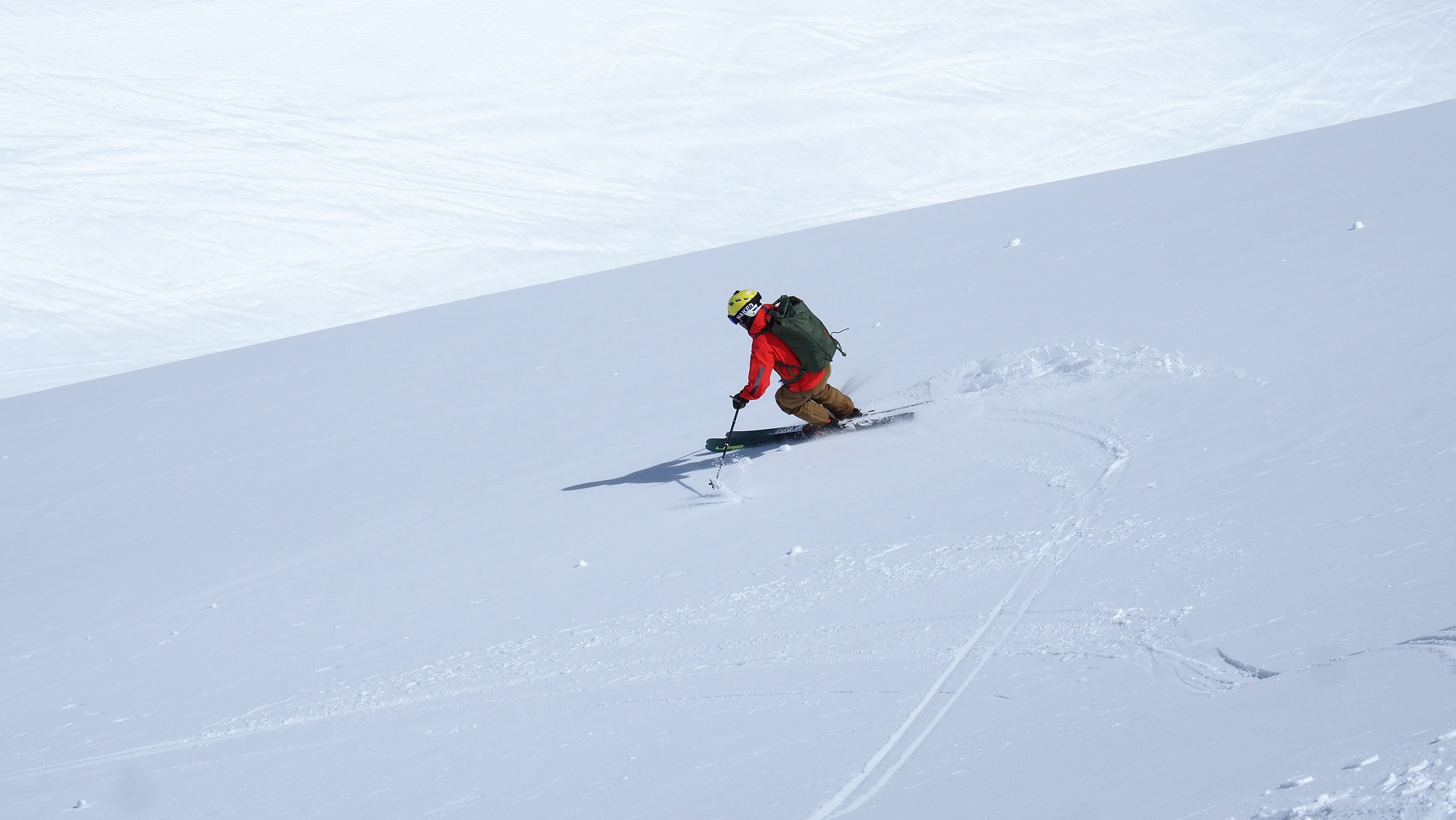
Wer für diese Saison noch nicht genug hat, kann in den kommenden Tagen bei bestem Wetter feinsten Firn ernten. Zeitiges Aufstehen lohnt sich (©Ronald Ribis, 18.04.2026).
Whoever hasn’t had enough this season can enjoy top weather and finest firn snow over the next few days. Being an early riser pays. (©Ronald Ribis, 18.04.2026).
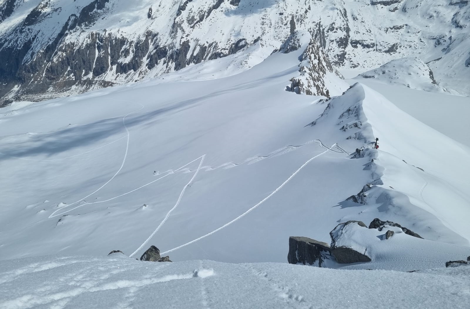
An hochalpinen Schattenhängen wie hier am Törlkopf in der Venedigergruppe Mitte (Sbg) findet sich mitunter auch noch Pulverschnee vom Niederschlag zu Wochenbeginn (©LWD Salzburg, 22.04.2026).
On high-alpine shady slopes, such as here on Törlkopf in the Mid-Venediger Massif (Salzburg) there is even powder snow from the precipitation at the beginning of the week (©LWD Salzburg, 22.04.2026).
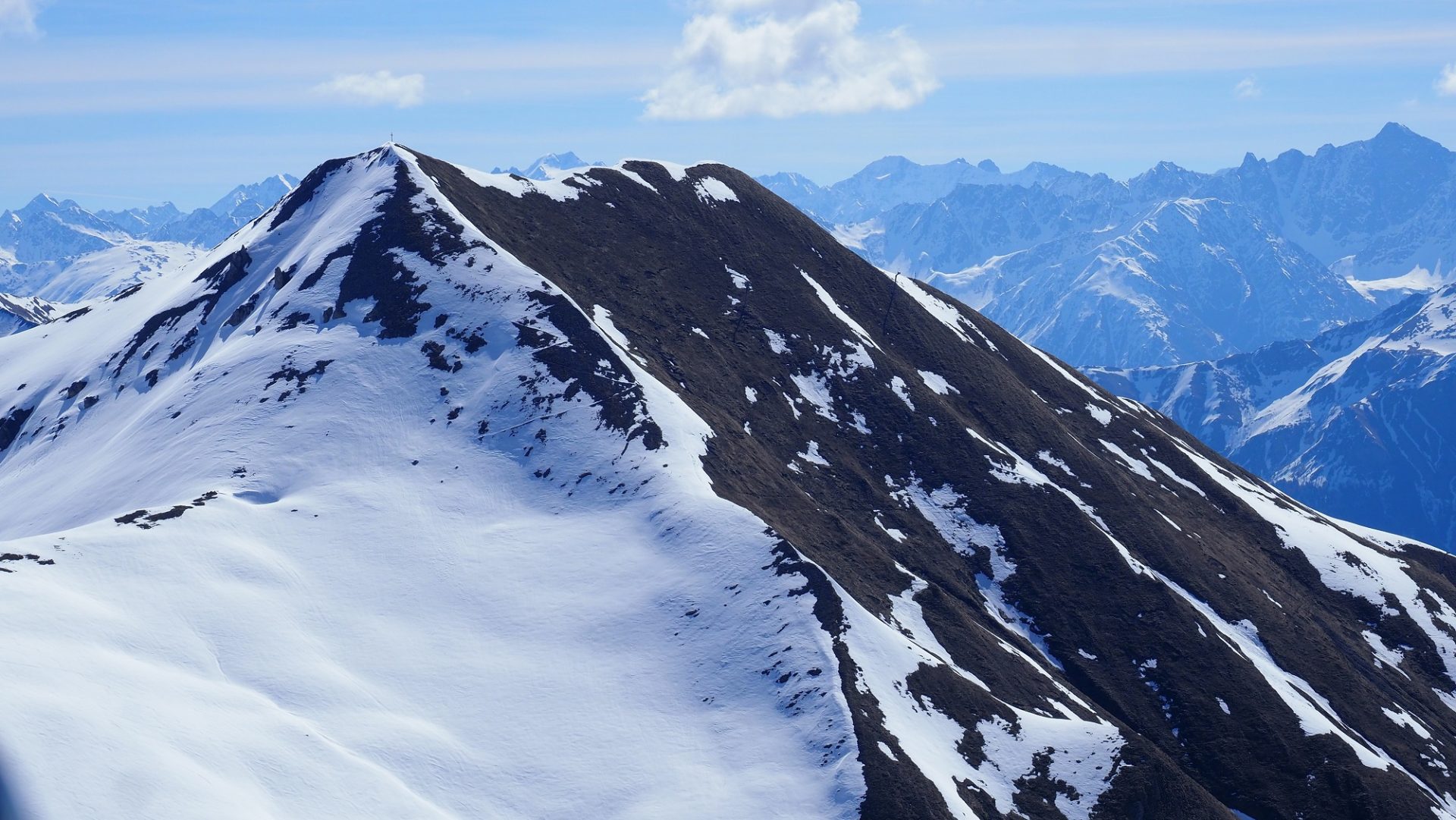
An Schattenhängen findet man zumindest oberhalb etwa 2200m noch gebietsweise recht gute Tourenbedingungen vor. Steile Sonnenhänge hingegen sind oft bis weit hinauf ausgeapert. Silvretta (©LWD Tirol, 18.04.2026).
On shady slopes above about 2200m there is still a cohesive area-wide snowpack in some regions. On the other hand, steep sunny slopes are bare of snow up to higher altitudes. Silvretta (©LWD Tirol, 18.04.2026).

A brief review in pictures

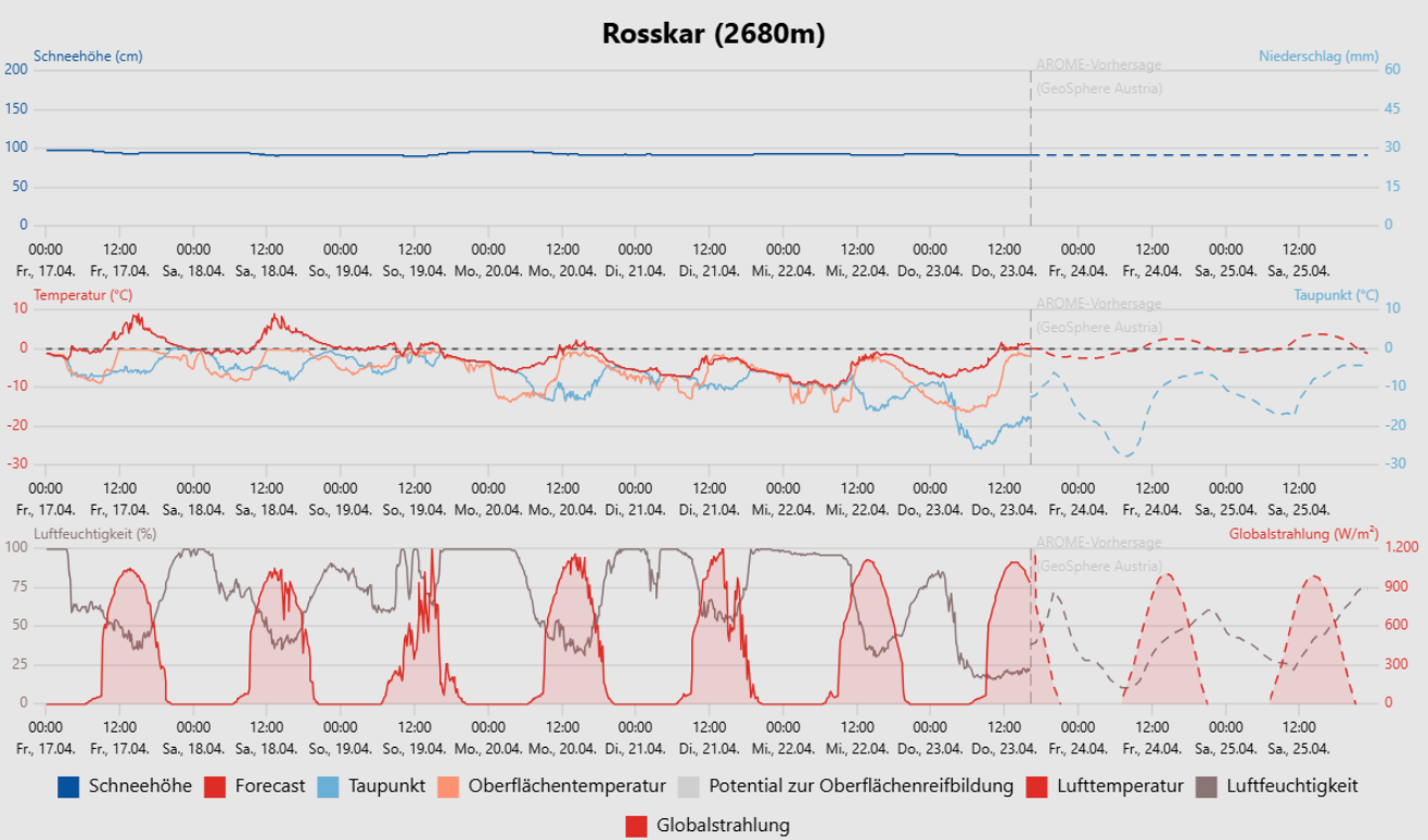
Daten der Wetterstation am Rosskar in der Gurglergruppe: Freitag und Samstag vergangene Woche zeigten sich noch überaus sonnig und mild, eine Kaltfront am Sonntag, 19.04. sorgte für einen deutlichen Temperaturrückgang und Niederschlag. Auf den Bergen, v.a. entlang des Alpenhauptkammes fiel etwas Neuschnee. Die Entwicklung in den nächsten Tagen (gestrichelte Linien) lässt einen Anstieg der Temperaturen, trockene Luft und viel Sonne erwarten.
Data from the Rosskar weather station in the Gurgl Massif: Friday and Saturday last week were very sunny and mild, on Sunday, 19.04, a cold front brought notably lower temperatures and precipitation. In the mountains, particularly along the Main Alpine Ridge, there was some fresh snow. Over the next few days the development (dotted lines) forecasts rising temperatures, dry air masses and lots of sunshine.
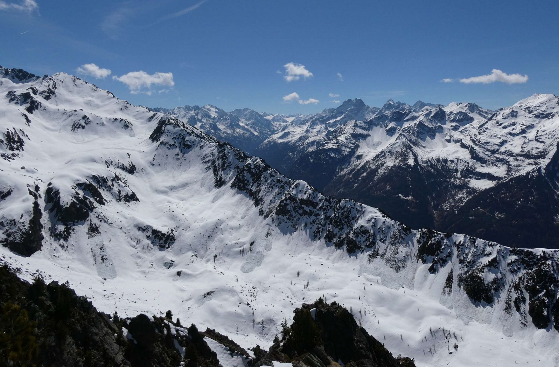
Blick vom Hochzeiger oberhalb von Jerzens ins Pitztal. Am Freitag, 17.04. und am darauffolgenden Samstag war es nach recht klaren Nächten freundlich und mild. Mit feuchter Luft und Quellbewölkung stieg die Gefahr von Nassschneelawinen im Tagesverlauf deutlich an. Die Nassschneelawinen an den Schattenhängen im Vordergrund jedoch lösten sich während des Nassschneelawinen- Zyklus um den 14.04. (©Barbara Fink, 17.04.2026).
View from Hochzeiger above Jerzens into Pitztal. On Friday and Saturday, 17-18.04, weather was pleasant and mild following nights of clear skies. Due to moist air and convective cloud build-up, danger of wet-snow avalanches increased measurably during the daytime. The wet-snow avalanches on shady slopes in foreground triggered during the wet-snow avalanche cycle around 14.04 (©Barbara Fink, 17.04.2026).
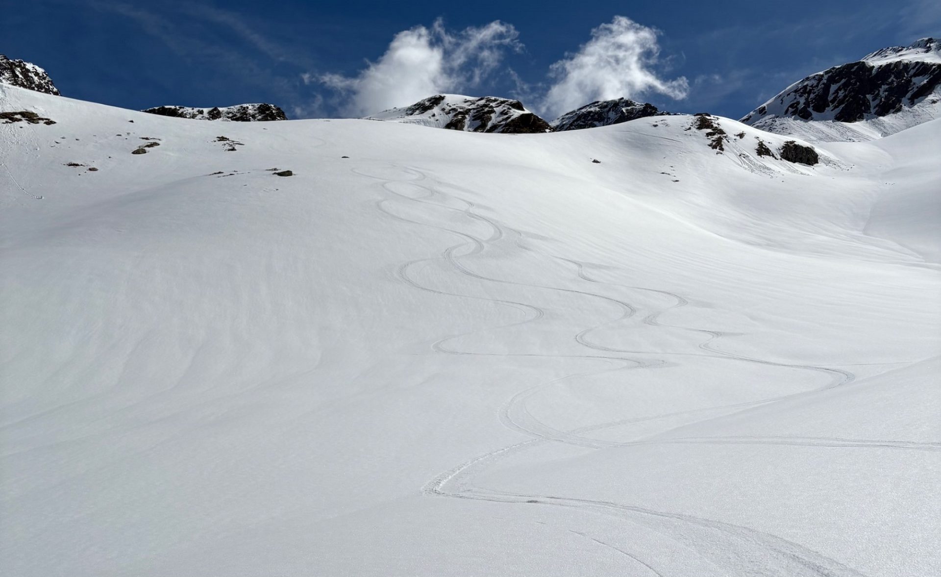
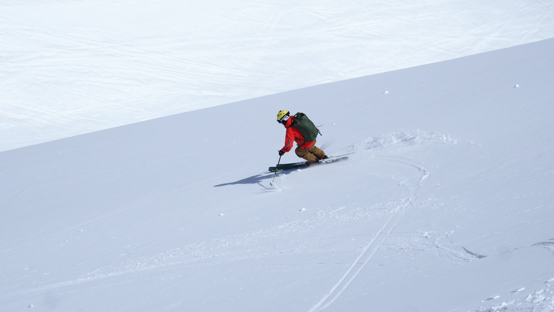
Eine gut überlegte Zeiteinteilung und Tourenplanung unter Einbezug von Exposition, Höhe und Steilheit – kombiniert mit den prognostizierten Wetterparametern – ist im Frühjahr der Schlüssel zu gutem, butterweichem Firn. Manchmal aber hat man auch nur Glück (©LWD Tirol, 17.04.2026).
A well-planned time allotment and route selection, taking into consideration aspect, altitude and steepness, combined with the forecast weather parameters, is the key in springtime to good quality, butter-soft firn snow. Then again, sometimes one just gets lucky (©LWD Tirol, 17.04.2026).
Ist man zu spät dran und der nächtliche Schmelzharschdeckel ist schon aufgeweicht, wird die Abfahrt hingegen zur Tortour (©LWD Tirol, 17.04.2026).
If you get started too late and the nighttime melt-freeze crust has already softened, the descent can be tortuous (©LWD Tirol, 17.04.2026).
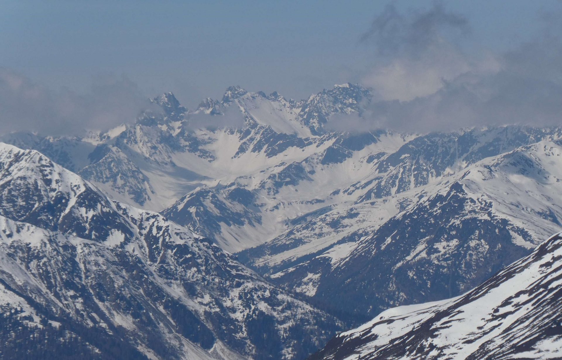
Feuchte Luft und Quellbewölkung am vergangenen Samstag (©Barbara Fink, 18.04.2026).
Moist air and convective cloud build-up last Saturday (©Barbara Fink, 18.04.2026).
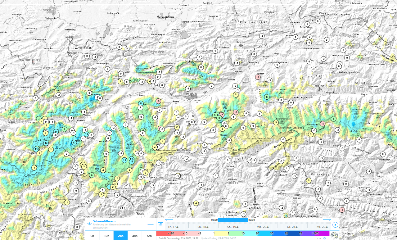
24h Schneedifferenz von Sonntag, 19.04.2026. Mit sinkender Schneefallgrenze kamen auf den Bergen 10 bis 15cm Neuschnee hinzu.
24-hr snow depth differences from Sunday, 19.04.2026. As a result of the descending snowfall level, 10-15cm of fresh fallen snow was added.
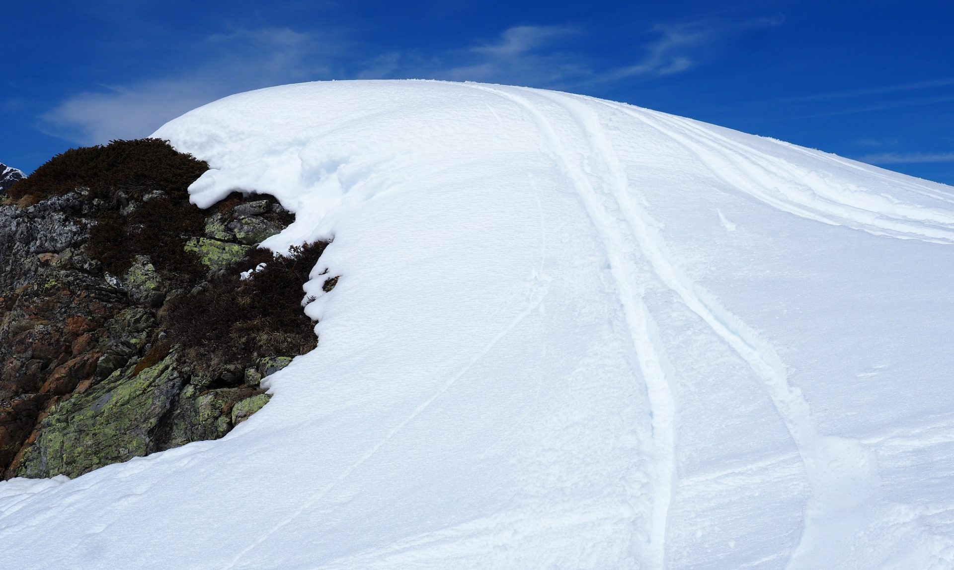
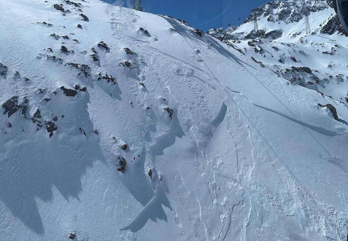
Mit teils starkem Westwind bildeten sich hochalpin stellenweise kleine Triebschneepakete. Diese waren an sehr steilen Schattenhängen für kurze Zeit störanfällig und konnten durch Personen ausgelöst werden. Rechter Fernerkogel, Pitztaler Gletscher (©Joep Van Noort, 20.04.2026).
Due to frequently strong-velocity westerly winds, small snowdrifts accumulated in places in high alpine regions. These drifted masses were prone to triggering for a brief spell on very steep shady slopes and could be triggered by persons. Rechter Fernerkogel, Pitztal Glacier (©Joep Van Noort, 20.04.2026).