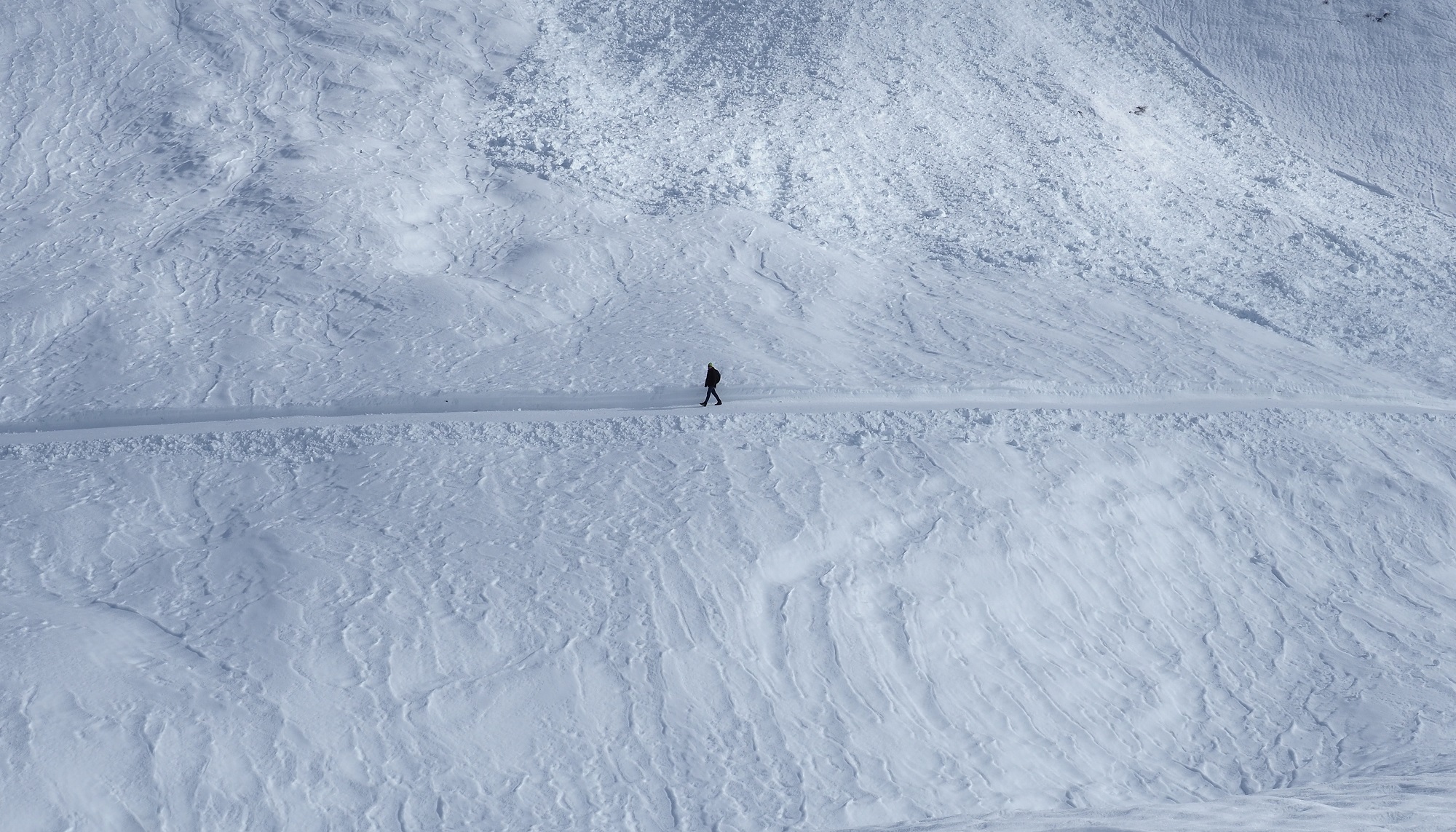
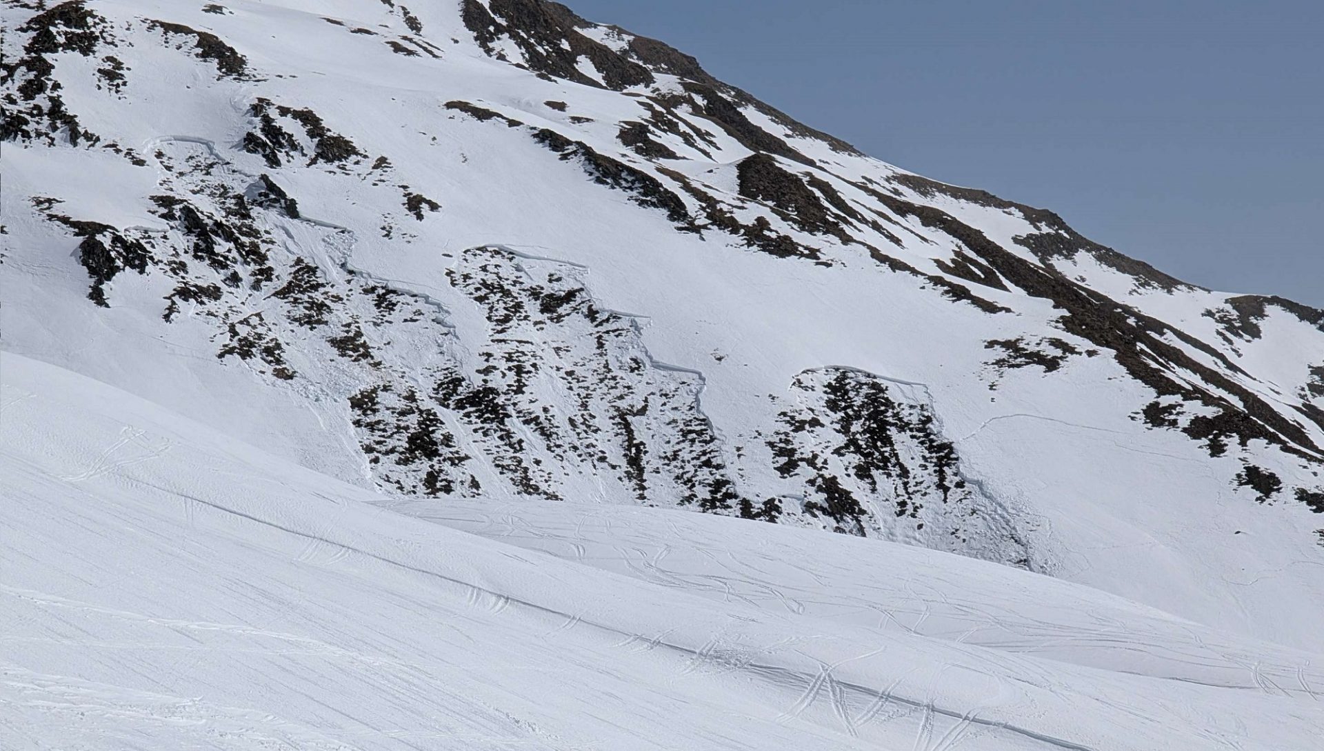
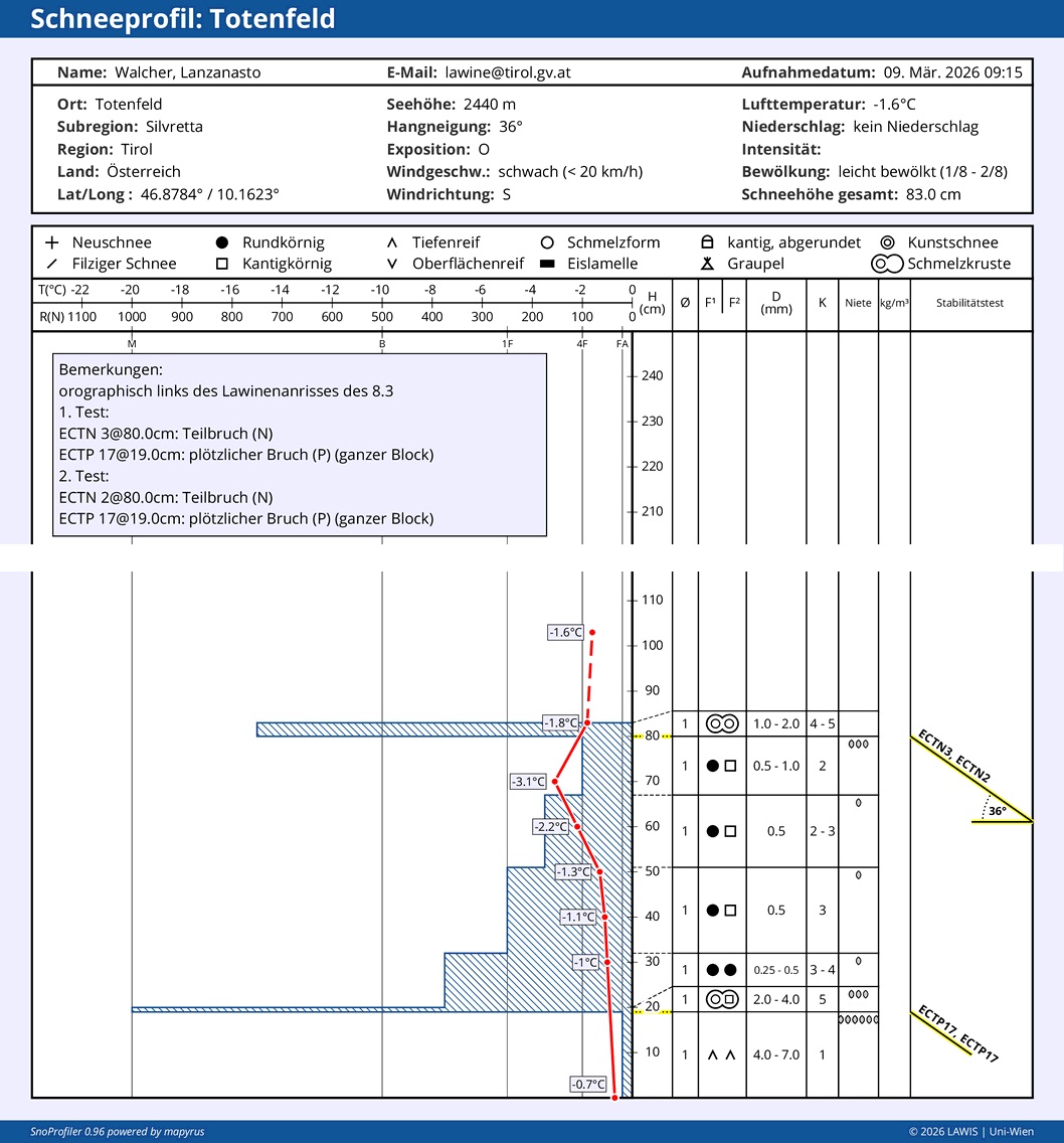
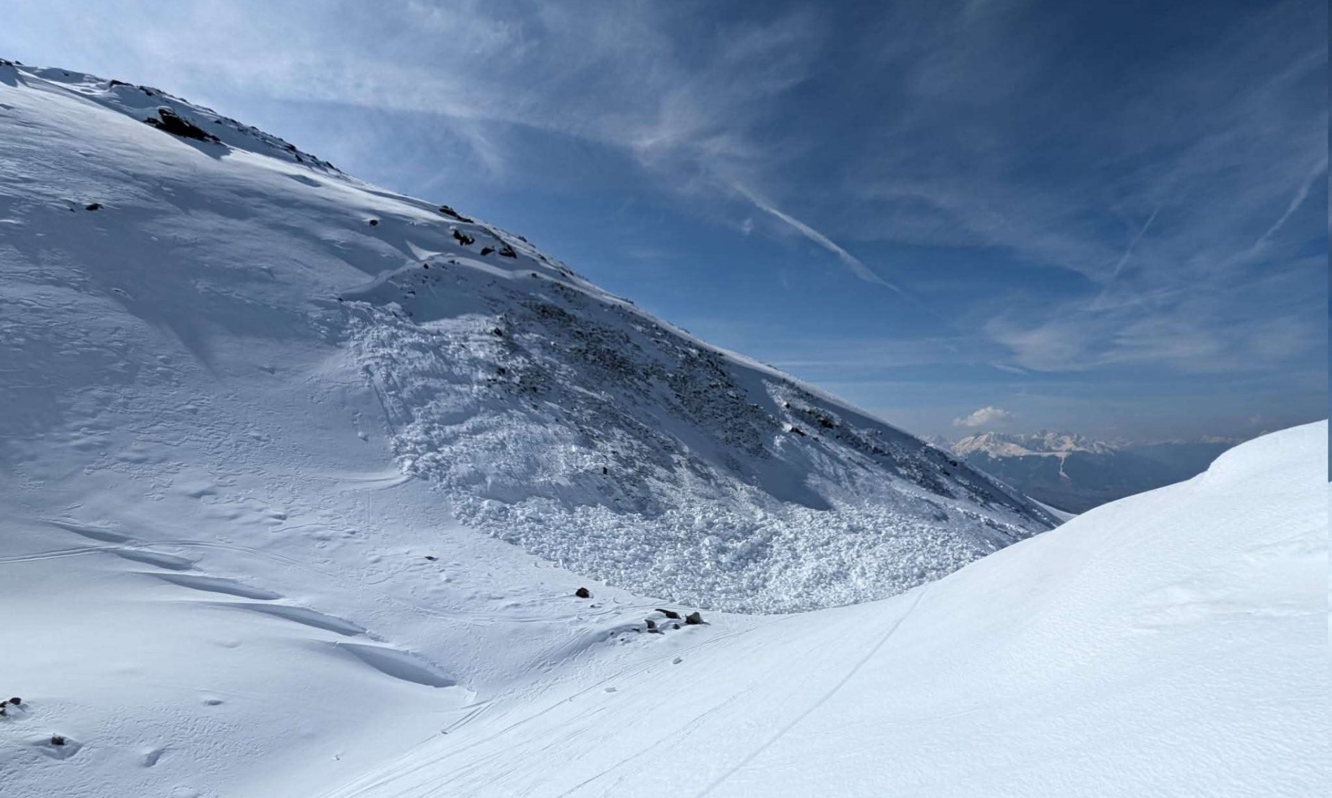
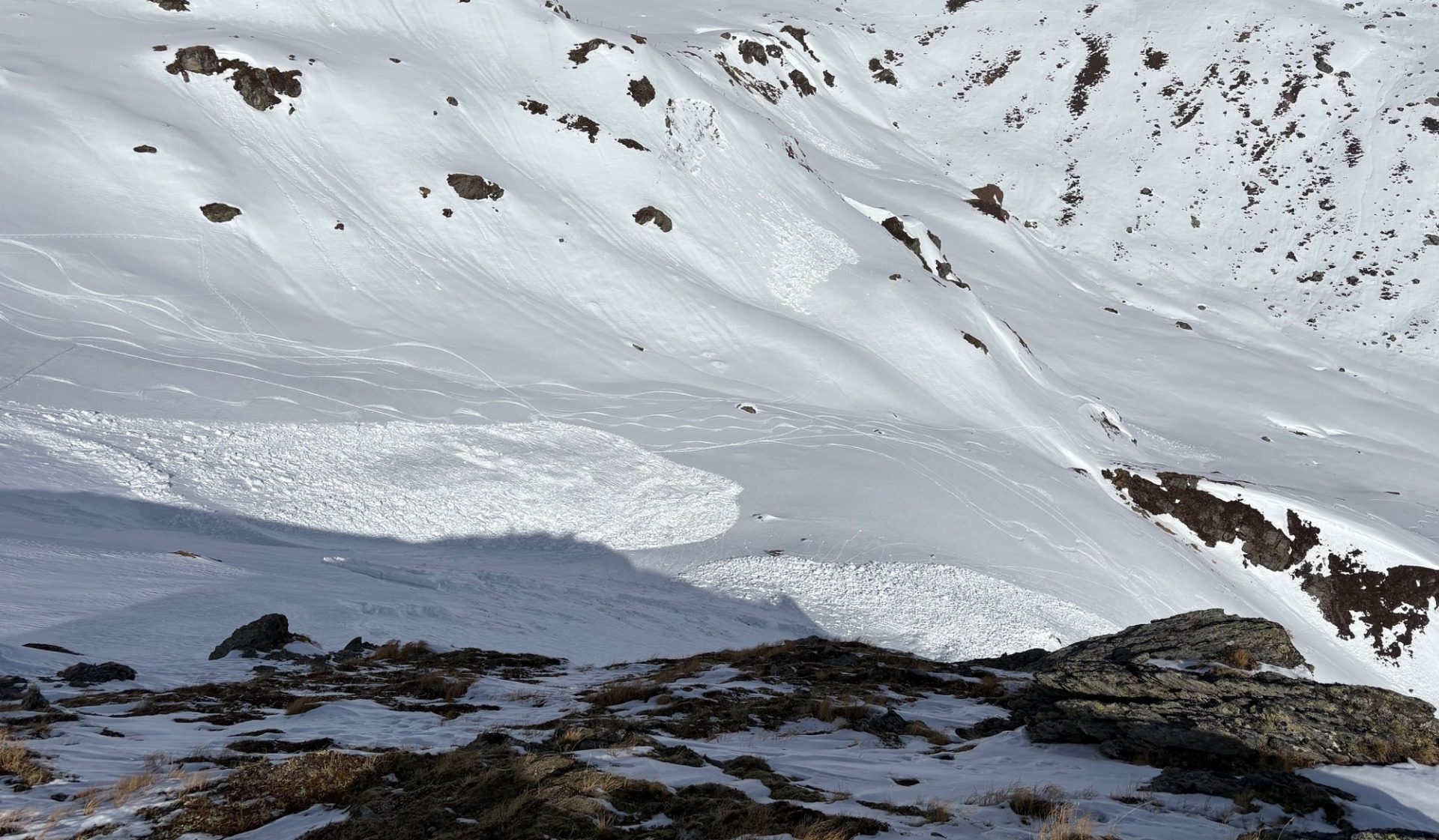
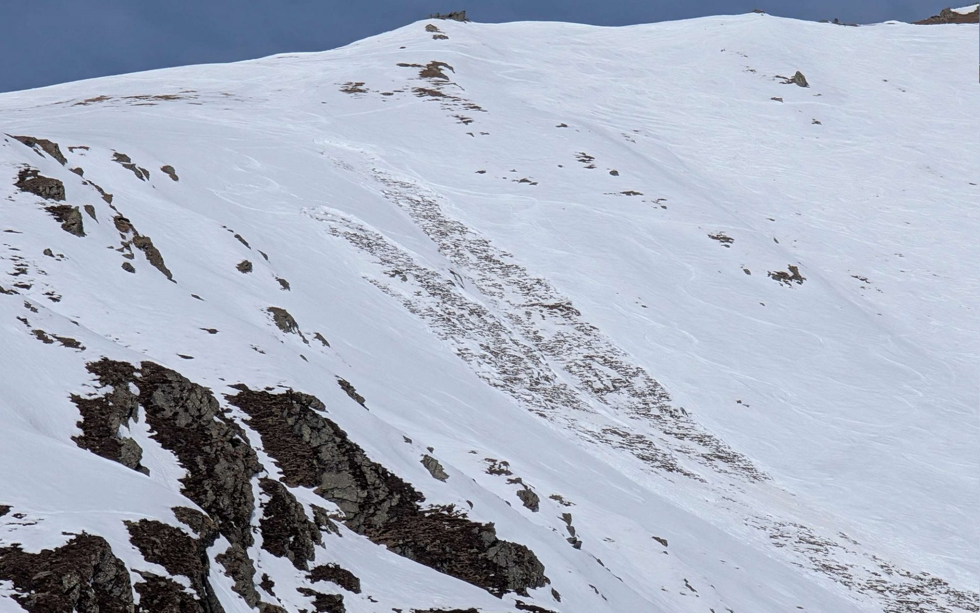
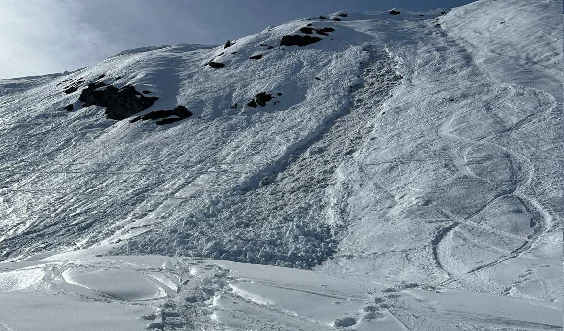
The persistent-weak-layer problem remains the main danger. The places where slab avalanches can be triggered now occur more seldom. But if an avalanche is triggered in one of those spots, it can still grow to large size in isolated cases.
Large and steep shady slopes which have not yet discharged, as well as small slopes with sharp drops in the terrain at the bottom, harbor a comparatively high risk and thus, should be avoided. The dangers lie buried inside the snowpack and are impossible to see.
April weather – overall little change in the avalanche situation
Weather outlook
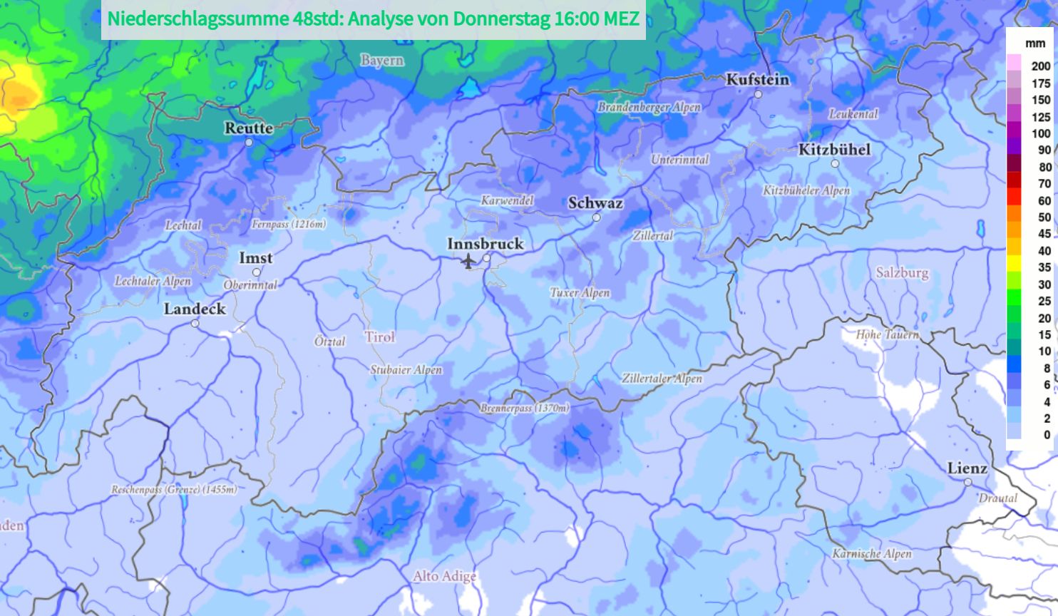
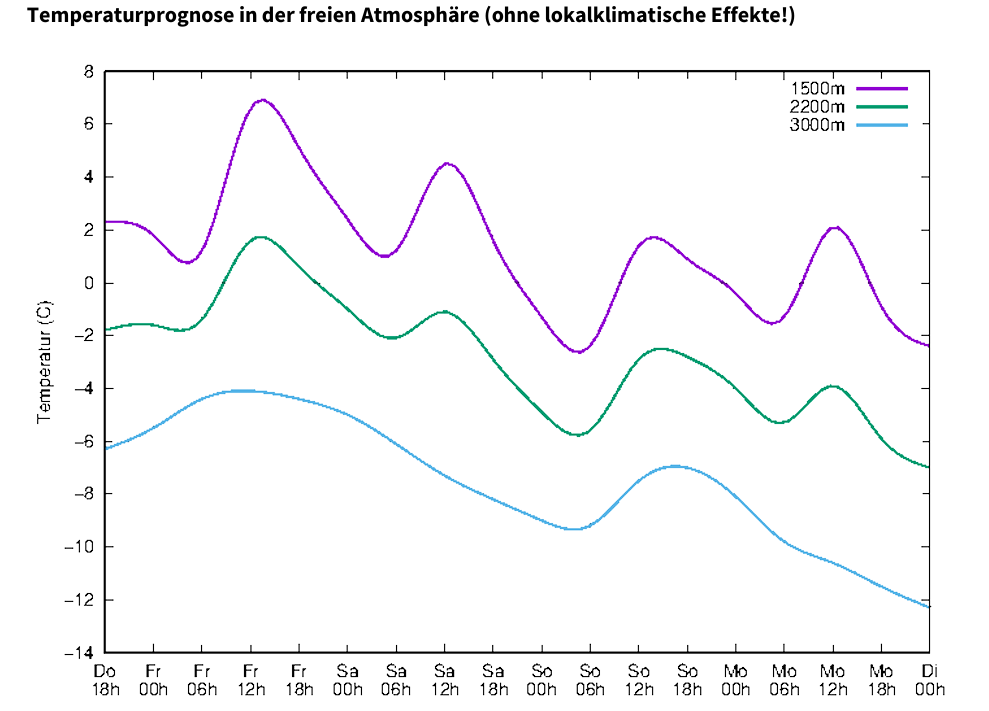
On Friday, 13.03, an intermediate high will once again bring lots of sunshine and mild temperatures. The days following, however, will have highly variable April weather. Saturday will be heavily clouded in East Tirol; in North Tirol it will be more pleasant due to southerly foehn winds. Saturday night will bring a cold front and some fresh snow to the mountains. The forecast is for about 10cm, most of which will fall along the border to Vorarlberg and in the western sector of the Main Alpine Ridge. The snowfall level will be at about 1500m. On Sunday the clouds will disperse somewhat.
At the beginning of next week we anticipate a mixture of sunshine and clouds, intermittent showers are possible but the precipitation is not expected to be heavy. Towards the end of the week, conditions will become stabler and temperatures are expected to rise.
What matters most is the slumbering and difficult to assess persistent weak layer problem. As already described in the last Blog, the likelihood of an avalanche triggering in the ground-level fundament of rotten snow is small. However, if it should do so, the avalanche which is unleashed can in isolated cases grow to large size, due to the still large-scale weak layer and the often deep snowpack on top of it.
As a result of solar radiation and mild temperatures, loose-snow slides are still possible tomorrow, 13.03, during the course of the day, most frequently wherever there has been fresh snowfall registered since Wednesday, 11.03. That means, above all else, in the northwestern regions of North Tirol. Also on Sunday, 15.03, small, moist loose-snow avalanches can be expected in rocky, sunny terrain in those regions where there has been snowfall. Due to the drop in temperatures, the snowpack is no longer becoming thoroughly wet.
In the major areas of precipitation, in addition, snowdrift masses which brisk westerly winds will generate starting on Monday can also play a role: in isolated cases they’ll be prone to triggering in ridgeline terrain and pass areas. Snowdrift accumulations will be small and easily recognized, due to the small (forecast) amounts of fresh snow, nevertheless they should be circumvented in terrain where it is possible to take a fall.
Review
Avalanches
Over the last 7 days there were eight avalanches reported to headquarters in Tirol. All of them occurred on Sunday, 08.03.2026.
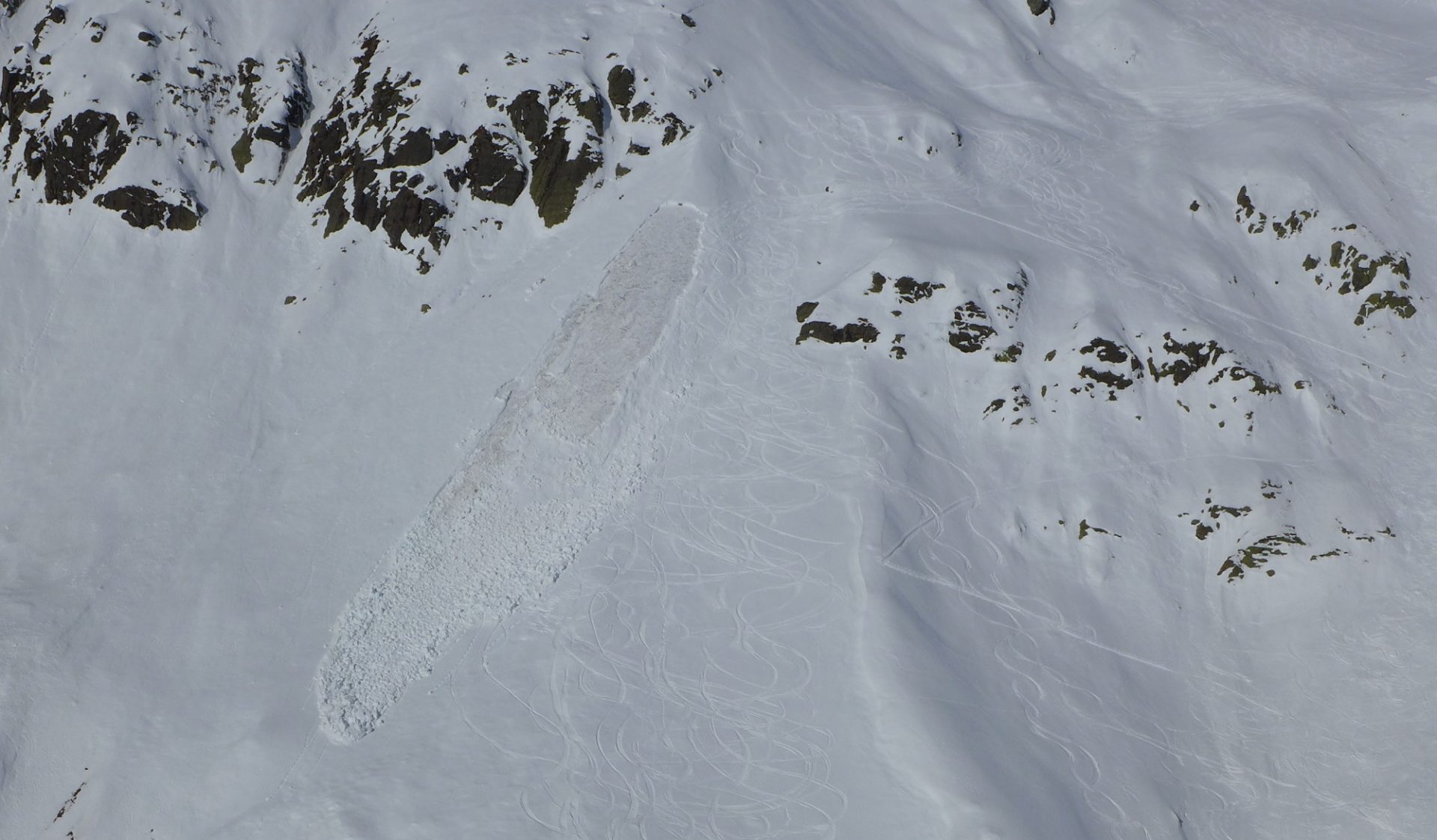
During an avalanche incident near the Elferköpfe in the Stubai Alps, a snowshoe hiker was caught by an avalanche at about 2100m altitude on an east-facing slope and swept along for several hundred metres. He did not survive. The analysis of the avalanche incident can be read about in the Blog from 10.03.
In another avalanche, in Jamtal on Sunday, 08.03, at least one person was injured. The incident was unleashed by a small slab avalanche which fractured on a very steep east-facing slope at about 2400m altitude.
All the other avalanches caused no personal injuries, as far as we know.
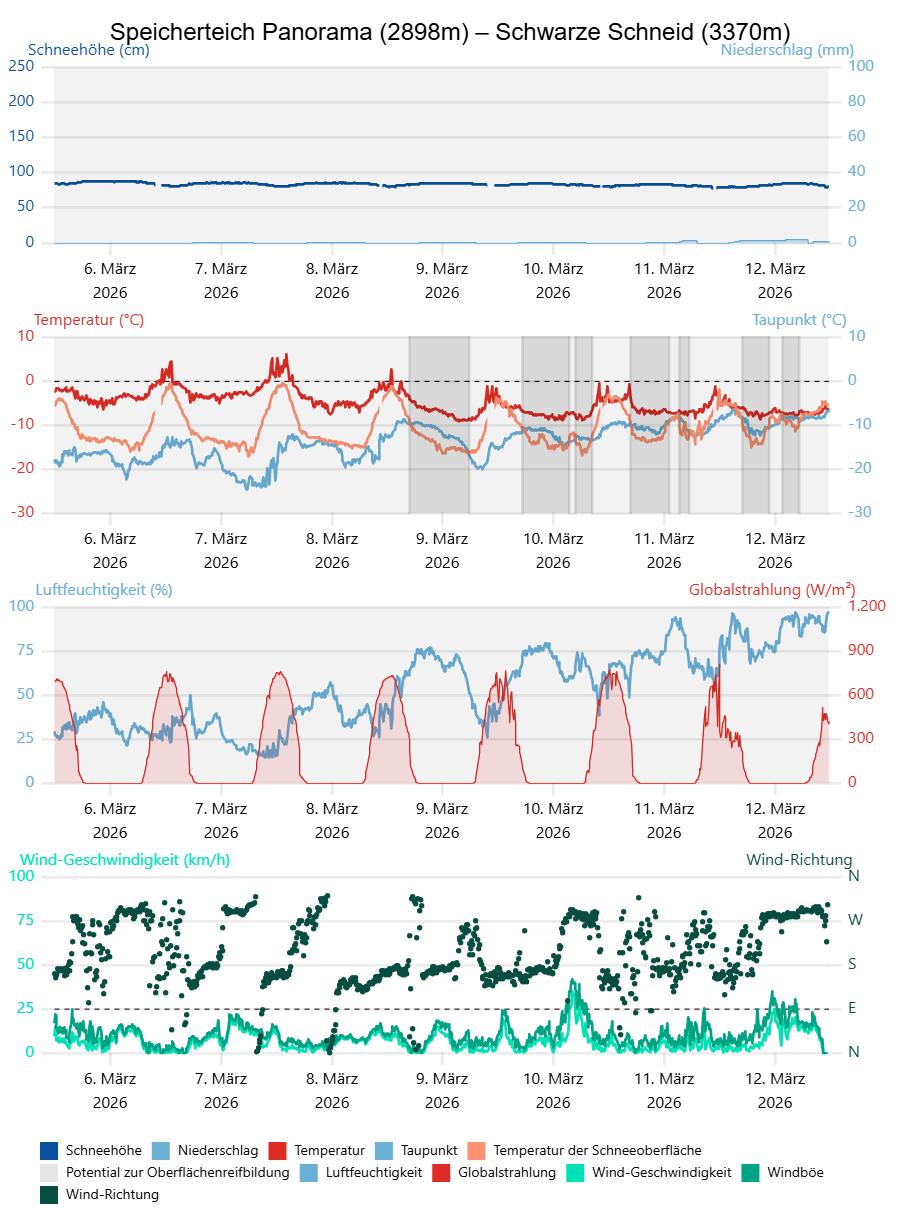
With the exception of a weak cold front which brought us an interval of gray skies and minor precipitation at the beginning of the month, the last couple of weeks have been dominated by high-pressure front conditions with unhampered sunshine during the day and star-studded skies at night. The air moisture was very low, so that the outgoing longwave radiation during nocturnal hours was outstanding.
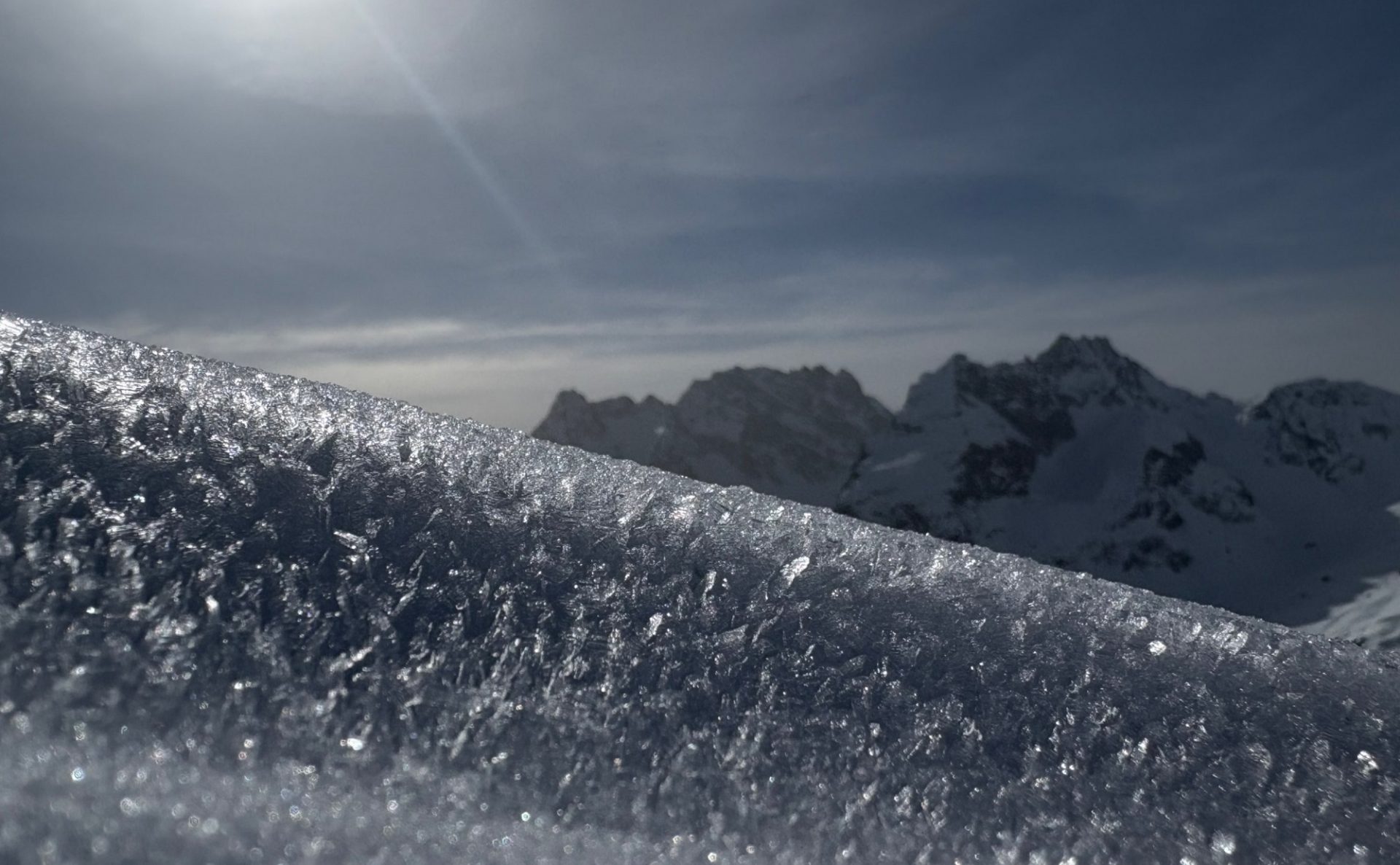
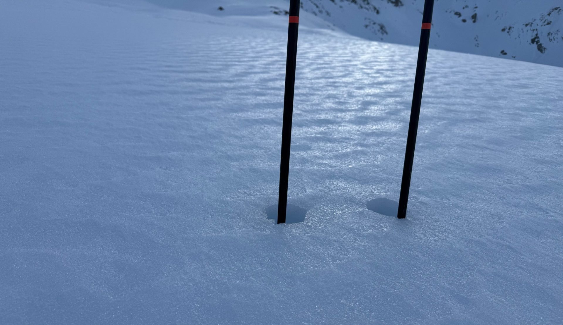
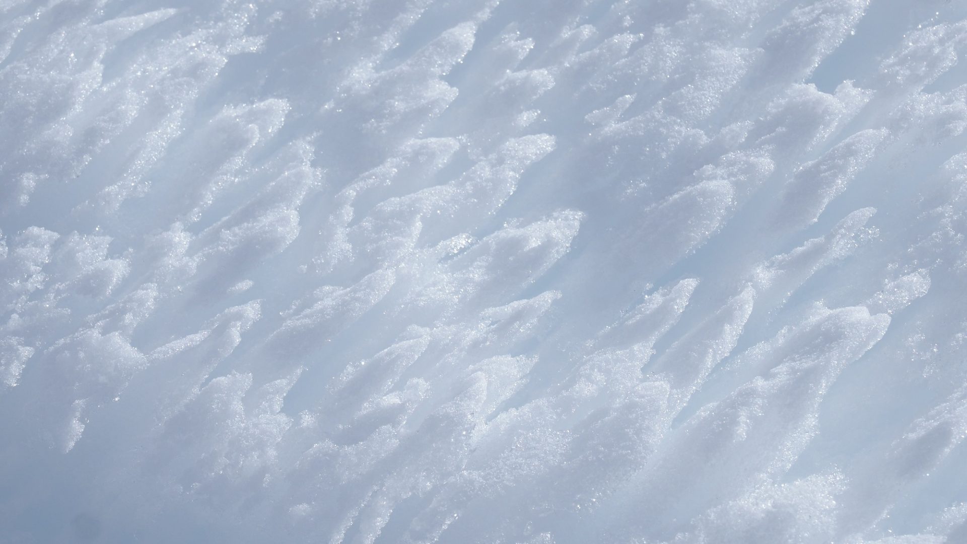
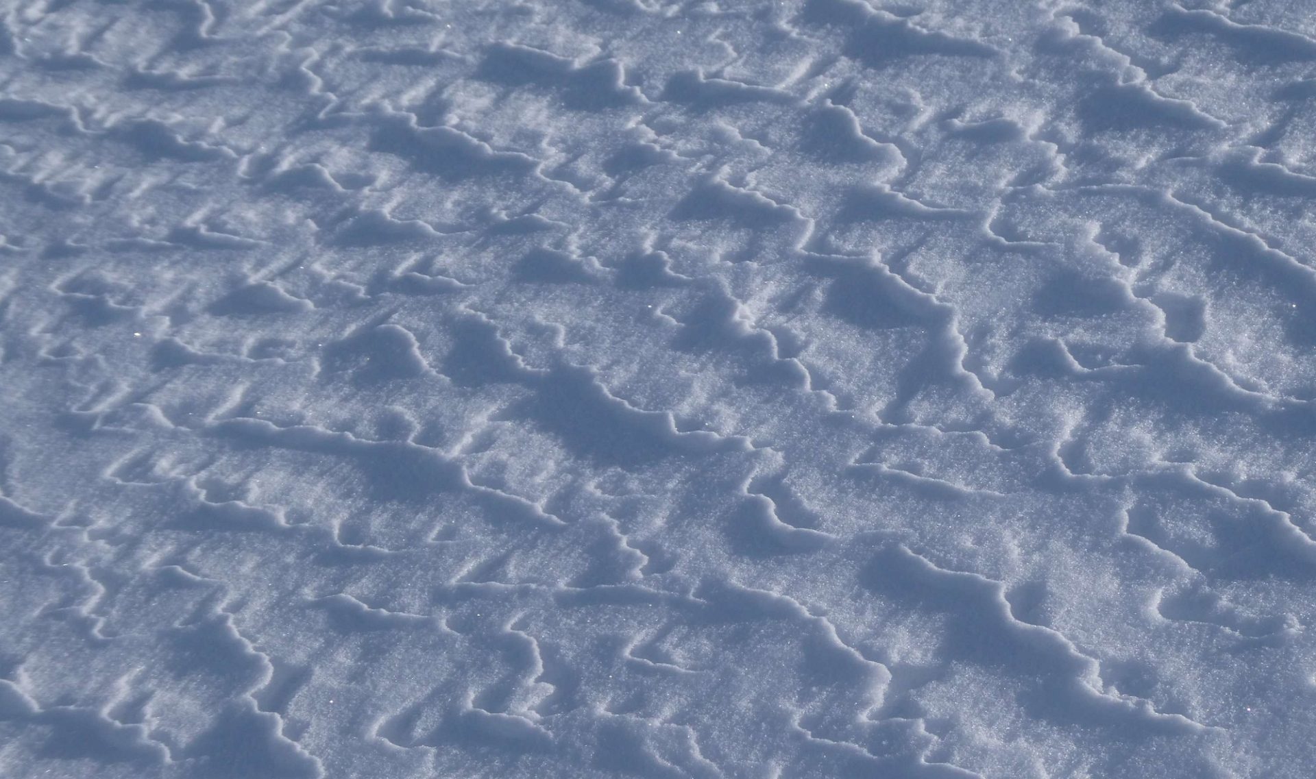
The outgoing radiation during the nighttime hours created a melt-freeze crust on steep sunny slopes which then transformed to firn snow during the daytime. Shady slopes, on the other hand, frequently remained dry in spite of the mild temperatures, so the surface metamorphosed to form faceted crystals. Moreover, as the relative humidity increased over the last few days, surface hoar was generated in some regions.
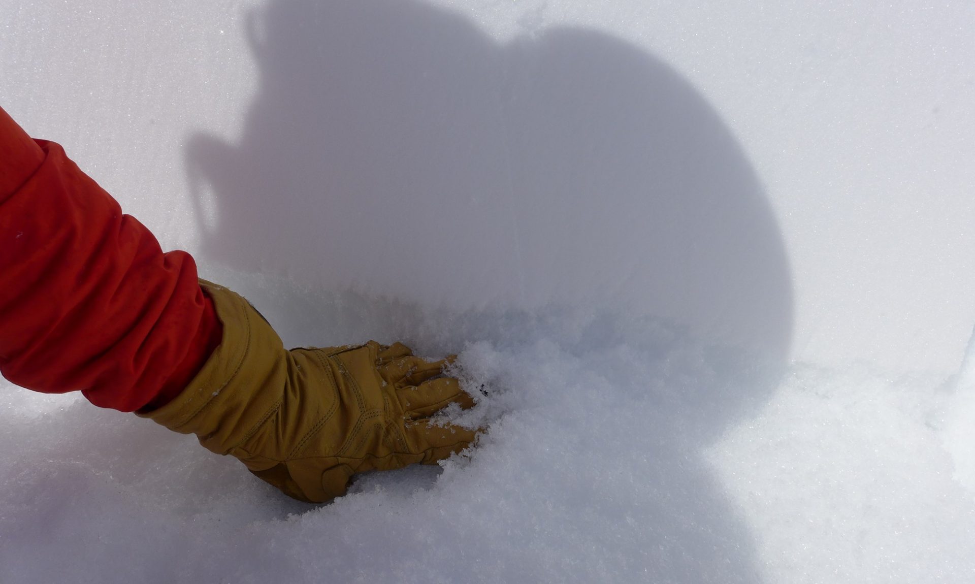
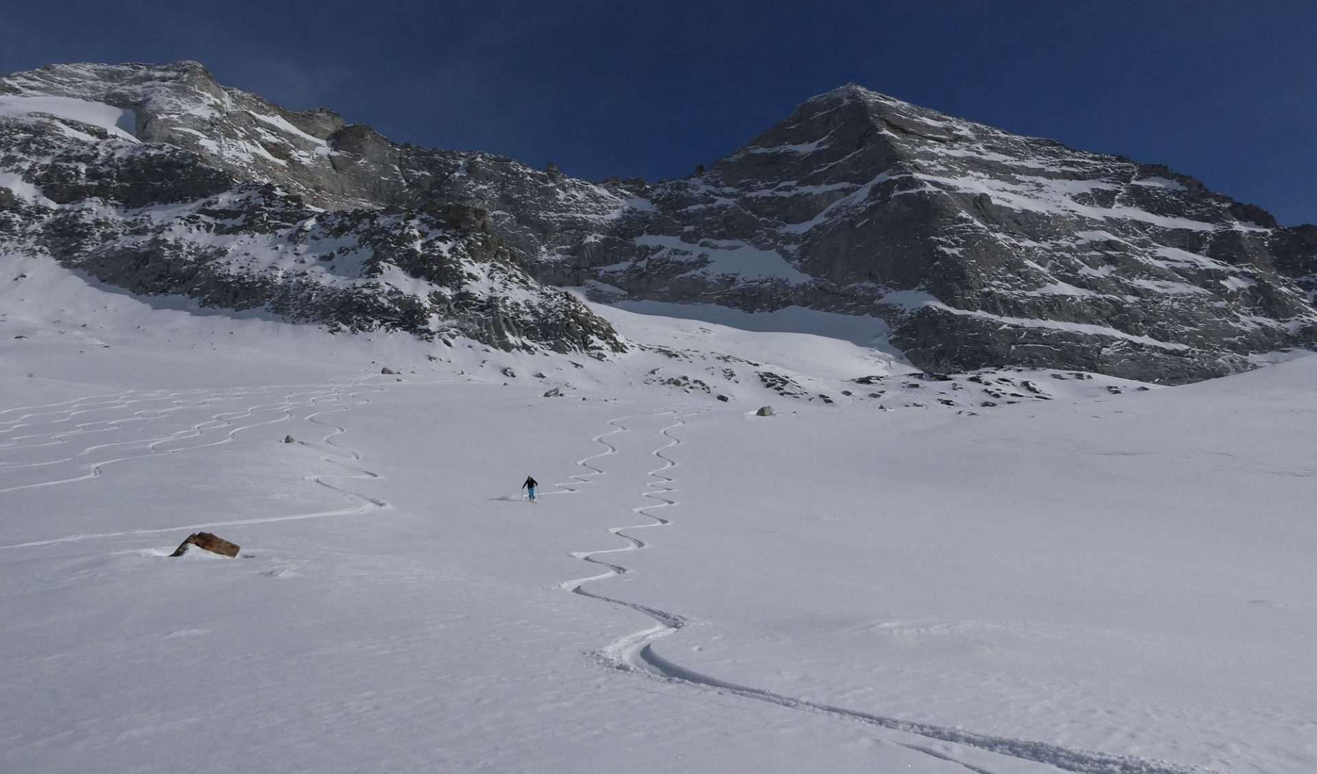
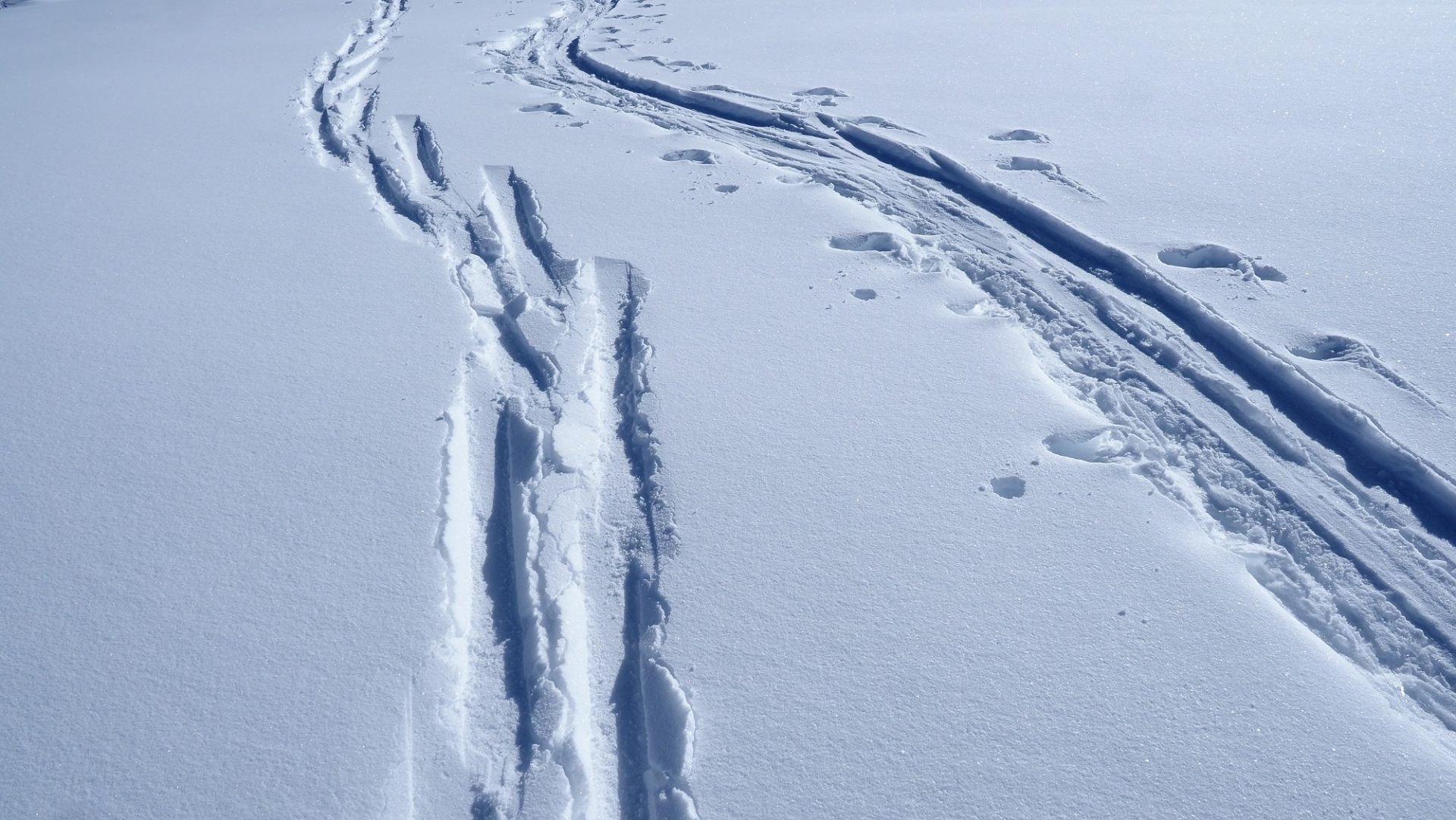
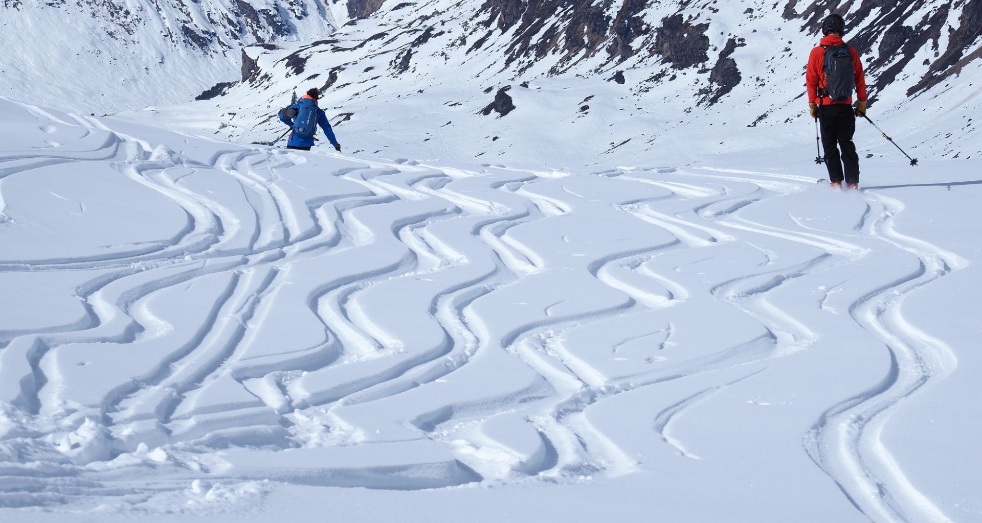
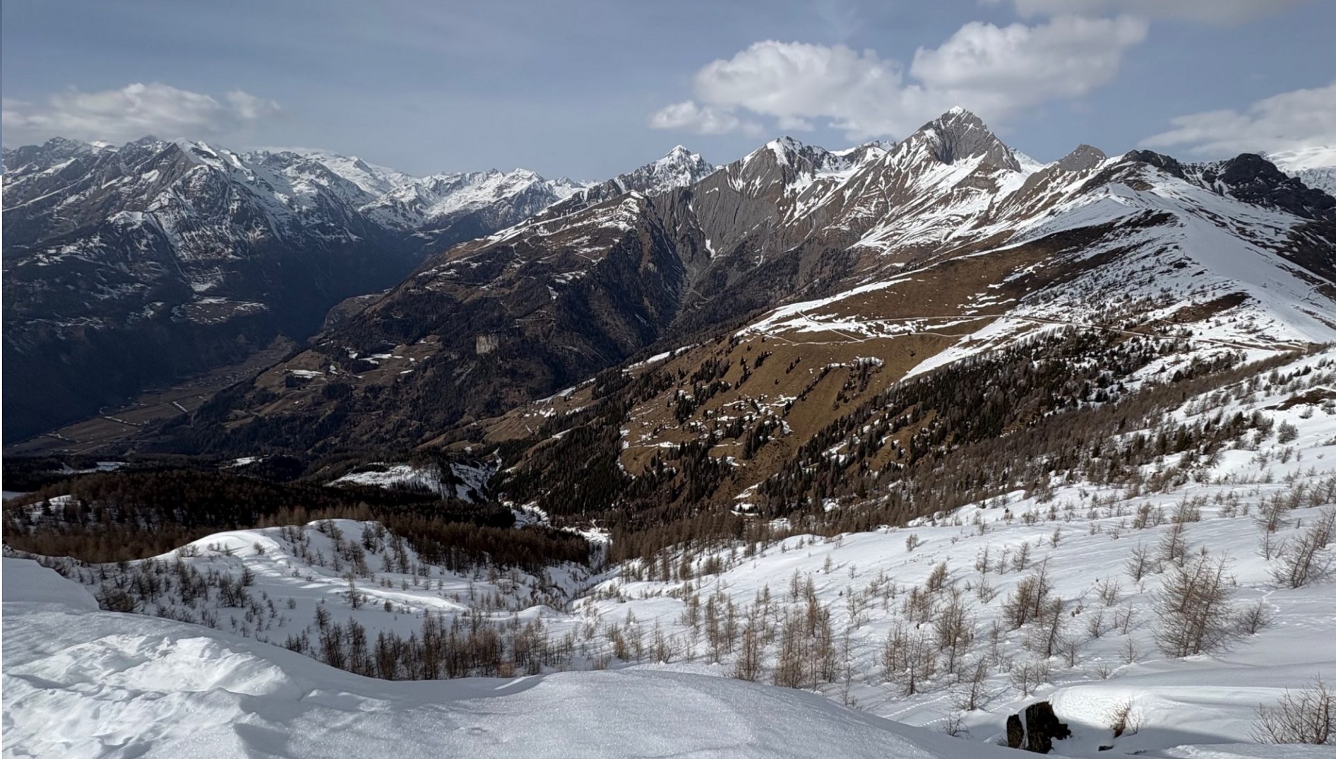
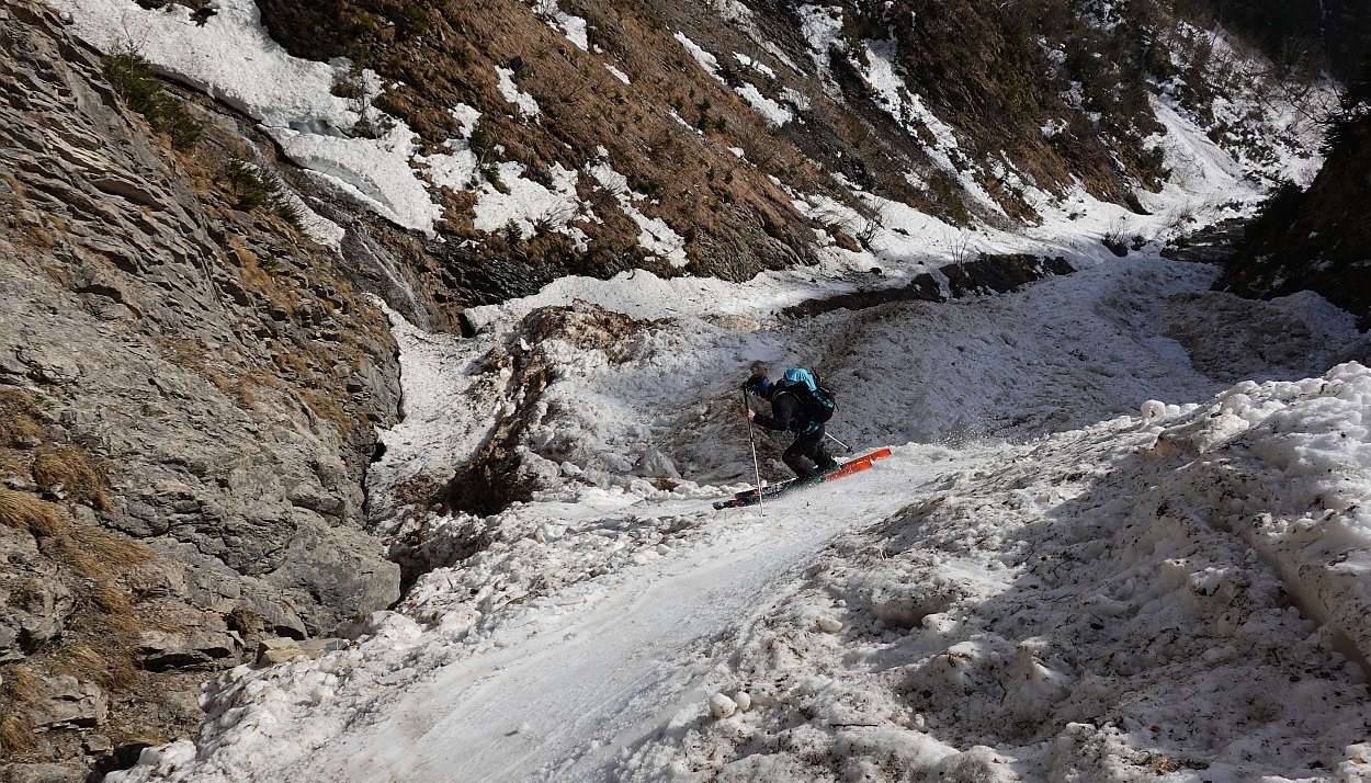
The snowpack surface was thus quite variable. Between firn snow and loose snow there were still breakable crusts formed by wind and rain (on 24.02) and also solar radiation. Due to the low air moisture, wonderful skiing snow was generated (see photo below). But ultimately, the snow became thoroughly wet and began to melt away as a result of sunshine and warmth, particularly on south-facing slopes and at low and intermediate altitudes.