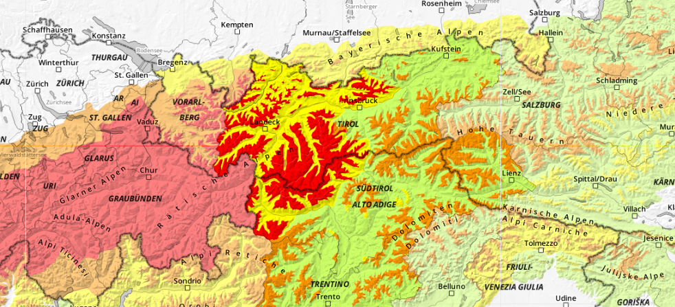
Regionally lots of fresh snow and strong-to-stormy winds are currently creating a dangerous avalanche situation (Danger Level 4 – “High Danger”) in the western regions of North Tirol. Naturally triggered avalanches can be expected, they can be large-sized, in isolated cases very large sized, thus plummet even to otherwise safe zones, gradients less than 30 degrees. Caution urged in the vicinity of avalanche plummet paths. Also in the rest of Tirol, the situation for winter sports enthusiasts is unfavorable. Avalanches can very easily be triggered in some places. Restraint is imperative.
Fresh snow/drifts blanket a weak old snowpack fundament
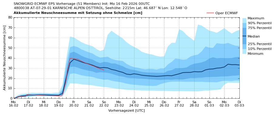
The amounts of fresh fallen snow registered since Sunday evening, 15.02, are quite disparate in North Tirol (with the exception of the Tux and Zillertal Alps) lying between 15 and 30cm, in the northwest at 40cm. A further bout of precipitation of similar magnitude is anticipated during the next 24 hours. Winds are still blowing at strong-to-storm velocity from the west.
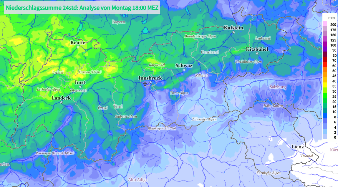
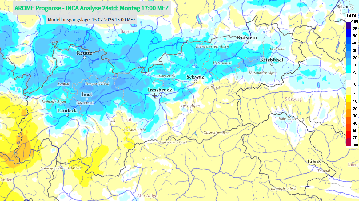
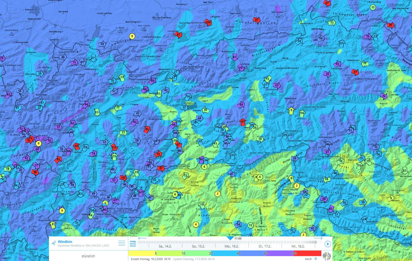
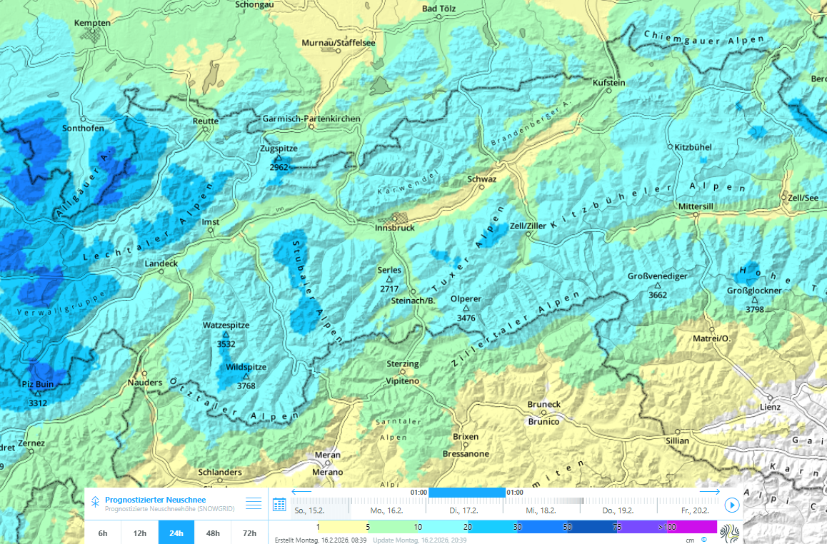
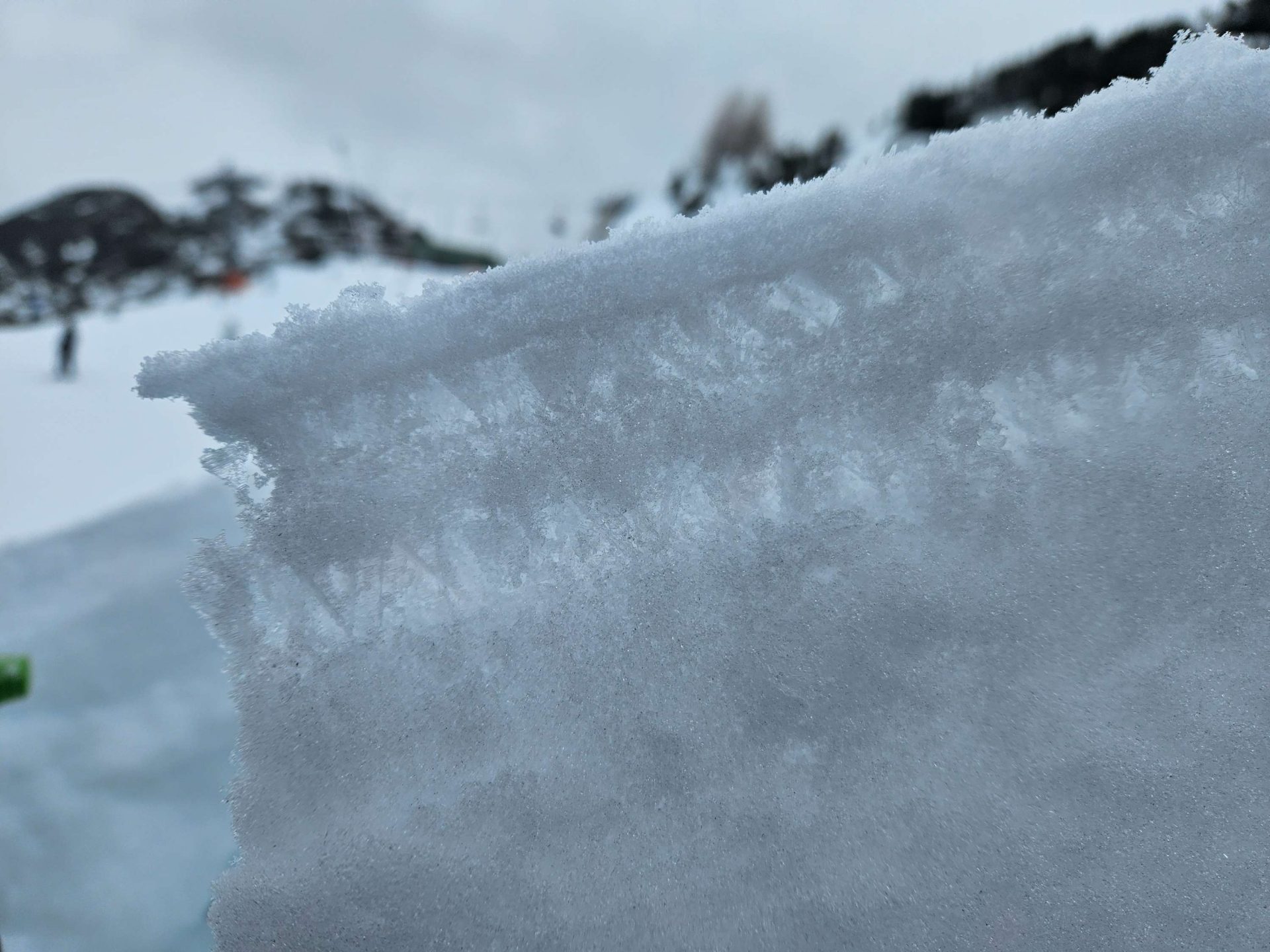
This new fallen snow together with the freshly generated drifted masses now cover the often cited weak old snowpack fundament, the root of all evil. Weak layers in the old snow occur very widespread on west, north and east-facing slopes. These are also the danger zones for avalanches threatening to trigger, since the prerequisite for slab avalanches – formation of a solid slab – occurs far and wide due to the snowfall.
Depending on the amount of precipitation, avalanche size varies from region to region: in the far west there was 40 to 60cm of fresh snow accompanied by wind-driven snow transport to wind-quiet avalanche starting zones, meaning that very large-sized avalanches can be expected in isolated cases. In the regions with less fresh snow, e.g. Tux Alps, avalanches will remain predominantly medium sized, which is the typical size of releases involving skiers, also quite dangerous.
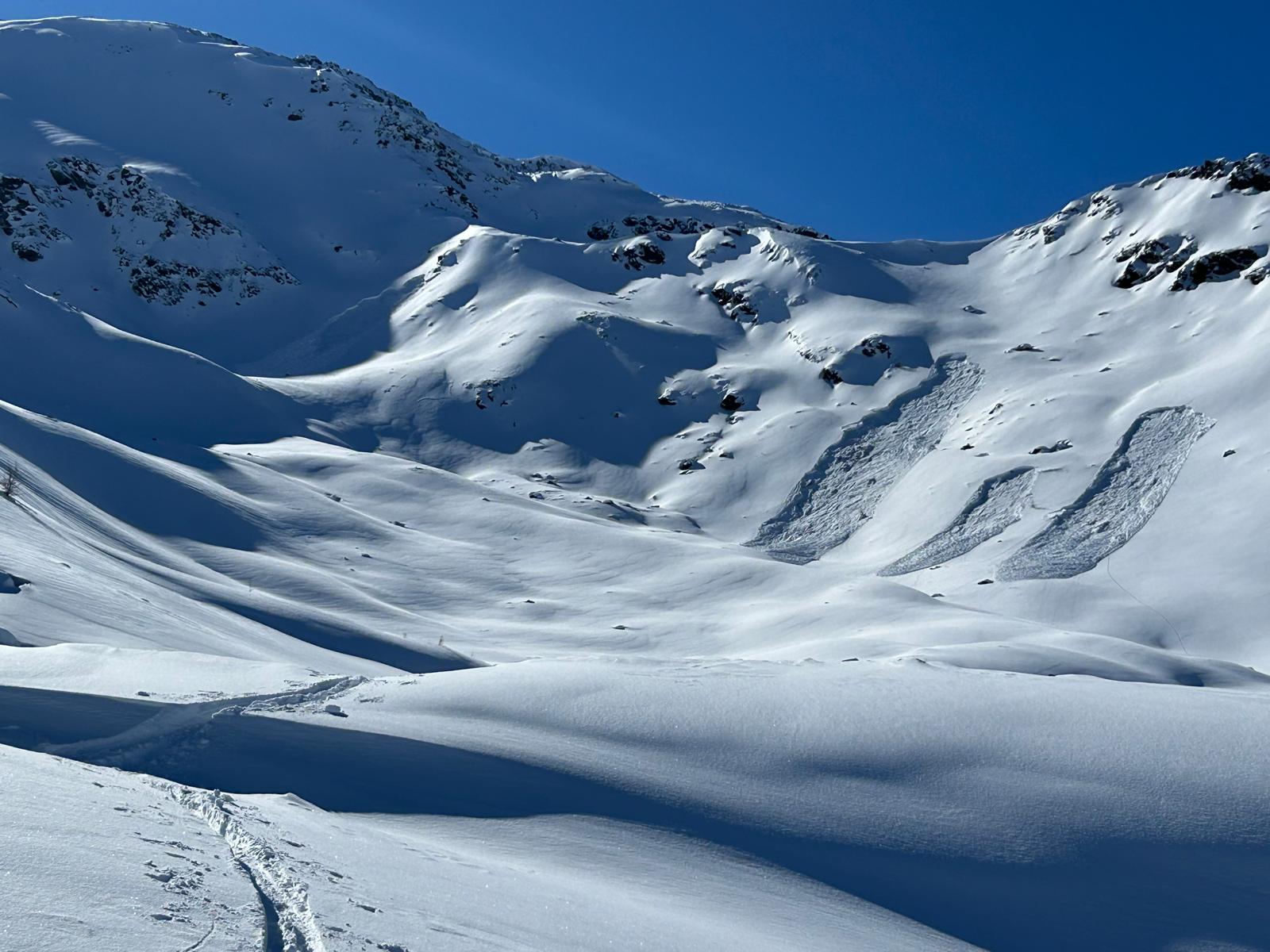
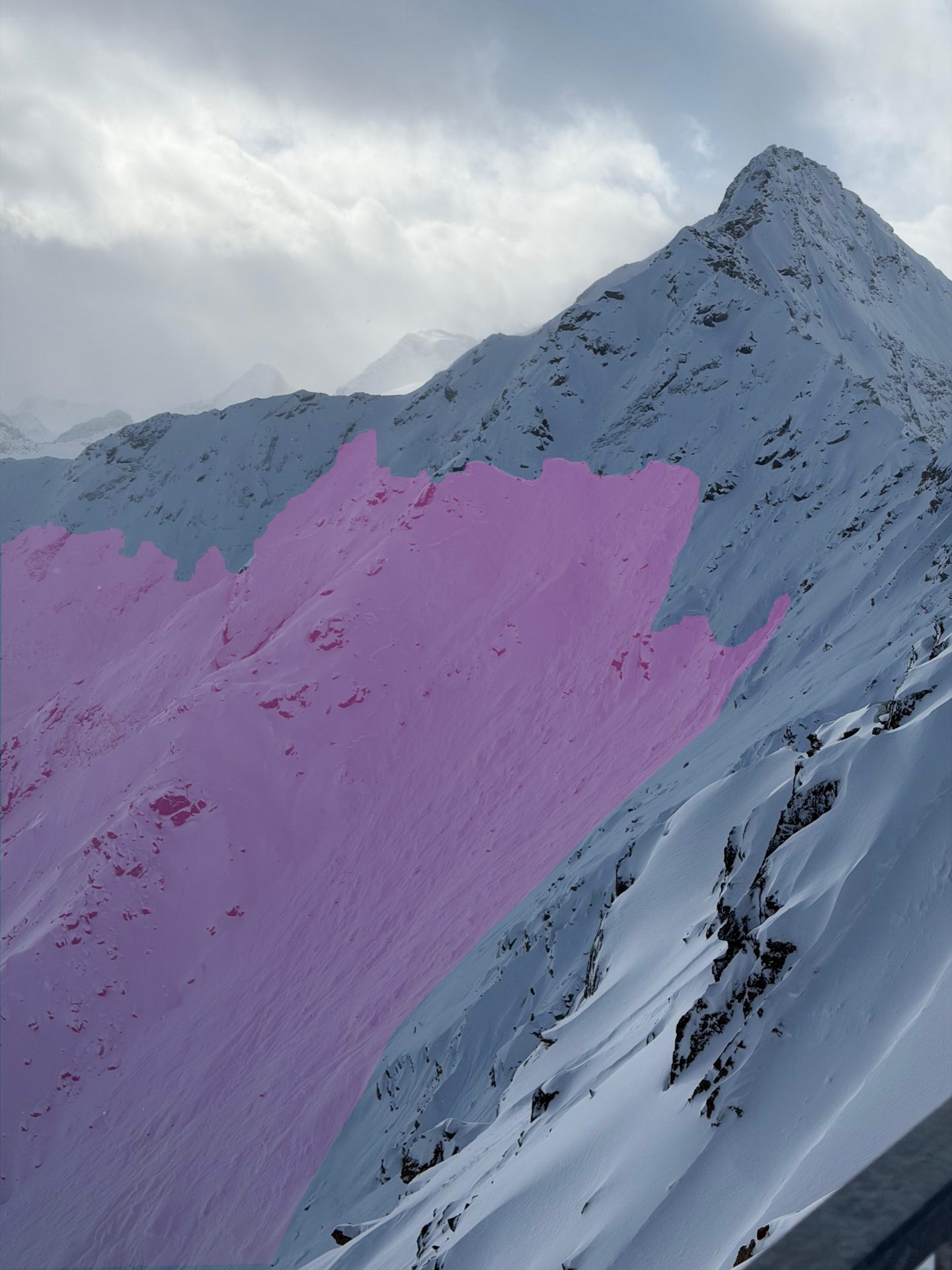
From this combination of danger parameters, the actual current distribution of respective danger levels in Tirol’s mountains is derived. Please note: during the unfolding of the event and following it (as long as the wind is blowing at transport velocity) the fresh snow and drifts which have been deposited press upon the weak layers with additional weight, exercising a further burden toward release. In other words, naturally triggered avalanches are on the way. This high proneness to triggering needs to be taken into consideration when planning any and all endeavors into backcountry, also because avalanches in higher-altitude starting zones can easily plummet into paths lying at lower altitudes, including into only moderately steep terrain.
All in all: an extremely dangerous situation for winter sports enthusiasts. The good news at the end: at least in the western regions where fresh snowfall is heaviest, the current snowfall assures us more stable snowpack layering into the immediate future. The best strategy to minimize the clear and present danger now threatening: forego the trip into outlying terrain.
Outlook
For the moment, things will remain unstable. A cold front on Tuesday, 17.02.2026. On Wednesday, only a small amount of precipitation, cloudy skies. On Thursday, 19.02, according to present expectations, a southern barrier cloud front will follow, possibly with heavy snowfall in East Tirol.
Review of recently reported avalanches
Beginning with the snowfall which started on 11.02.2026, particularly in western regions, accompanied by wind impact, the reports of avalanches began to come in more frequently. In most cases they were negative avalanches, in other words, avalanches which caused no injuries to persons. This was due to the below-average amounts of snow on the ground. A total of 101 avalanches were reported to us between 10.02 and 16.02.
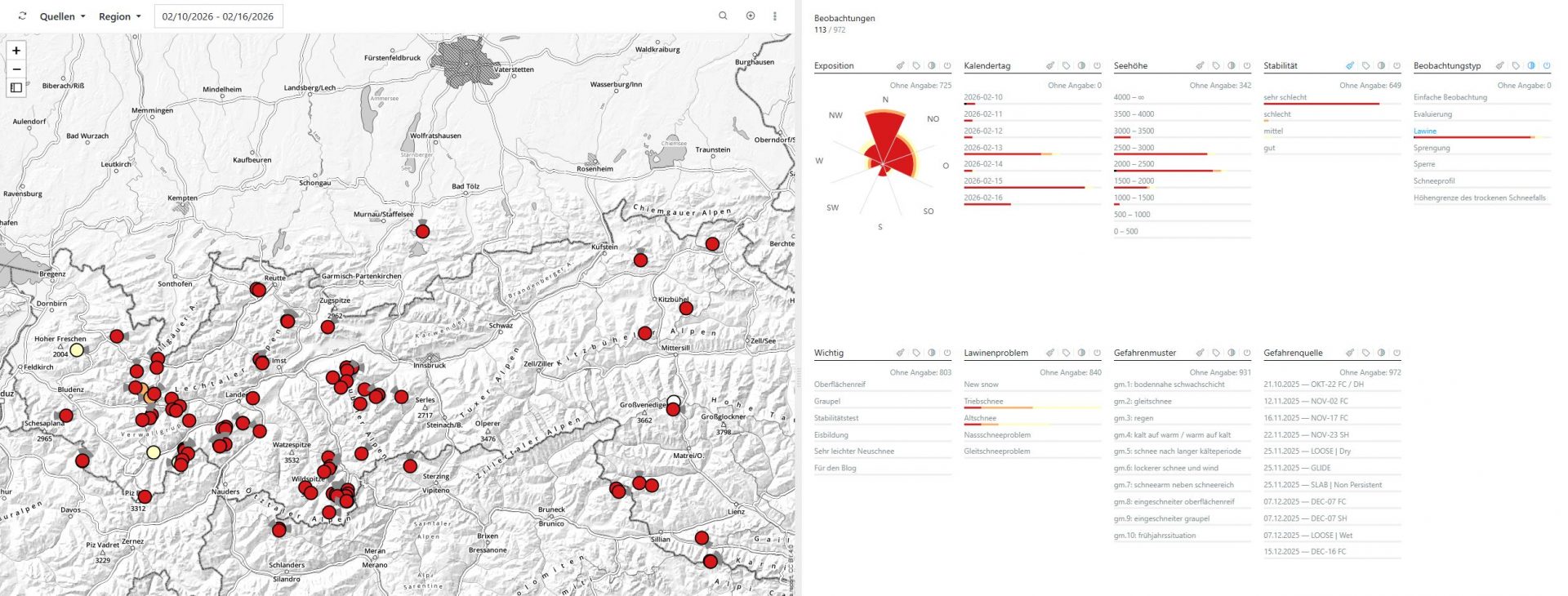
At Tirol Headquarters last weekend, the following reports came in:
14.02.2026: 10:55 am near Kühtai
14.02.2026: 12:23 pm Medrigjoch, See, Samnaungruppe
15.02.2026: 10:24 am Schafzöllen, Kühtai, Geigenkamm
15.02.2026: 10:51 am Interrodelguncke, Deferegger Alps
15.02.2026: 12:44 pm Wiese Medrigalpe, See, Samnaun Massif
15.02.2026: 12:45 pm Sulzkogel, Kühtai, Geigenkamm
15.02.2026: 12:54 pm Vorderrendl, Verwall Massif
15.02.2026: 13:13 pm Silvretta Skiarena, Samnaun Massif
15.02.2026: 13:22 pm Roter Stein, Nassereith, Lechtaler Alps
15.02.2026: 13:34 pm Alblittkopf, Kappl, Verwall Massif
15.02.2026: 13:37 pm Gampberg, Arlberg, Verwall Massif
15.02.2026: 13:51 pm Zischgeles, Sellrain, Alpeiner Berge
15.02.2026: 14:29 pm Zwölferkopf, Fiss, Samnaun Massif
15.02.2026: 17:08 pm Auf Sömen, Sellrain, Alpeiner Berge
15.02.2026: 17:24 pm Breslauer Hütte, Vent, Weisskugel Massif
15.02.2026: 20:24 pm Auf Sömen, Sellrain, Alpeiner Berge
16.02.2026: 12:24 pm Weinberglift Bergstation, Zams, Kaunergrat
16.02.2026: 13:24 pm Schöngraben, Lechtaler Alps West
16.02.2026: 15:10 pm Großer Leppleskofel, Deferegger Alps East
16.02.2026: 15:52 pm See Blaue Lacke, Jochberg, Kitzbühel Alps
16.02.2026: 19:20 pm Gagenhöhe, Deferegger Alps East
Fatal avalanche incident Mutterbergl, Central Stubai Alps on 15.02.2026
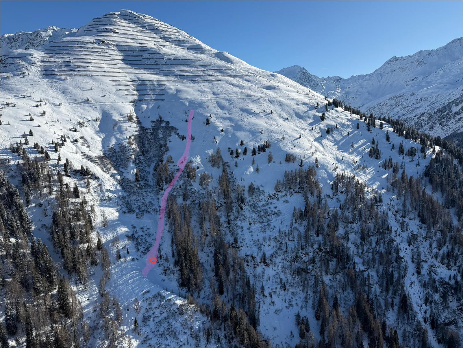
On 15.02.2026 two snowboarders were en route in the ski area and adjacent freeriding terrain on the Stubai Glacier. When the boarders didn’t come home, a search-and-rescue campaign was launched in the evening. After no success was registered in the small avalanche cone in the Wilderness Grube at the outset, exit tracks in outlying ski terrain north of the Egesengrat were spotted in a drone search. Following these, the avalanche fracture near Mutterbergl and subsequently, the tapered avalanche cone at the foot of the slope near the Gamsgartenbahn was discovered at about 9:30 pm. Both persons had been completely buried in snow masses and were rapidly able to be located by means of LVS beamer. The help arrived too late to save them.
Avalanche and snowpack
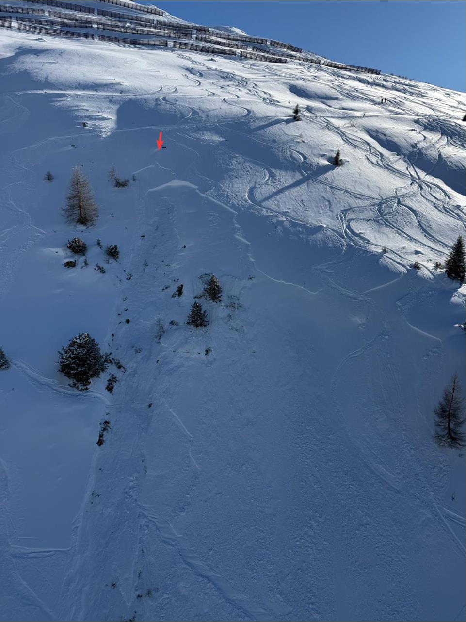
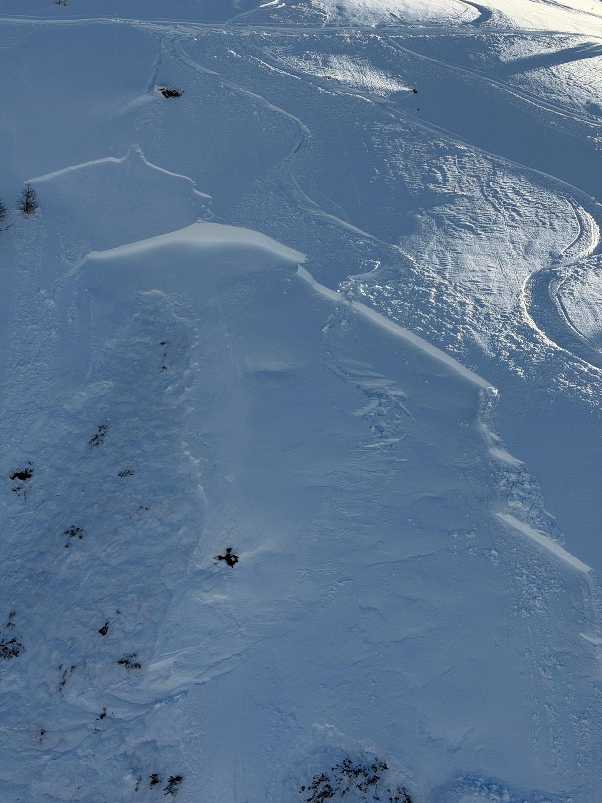
The avalanche was a small slab release about 15m wide and 400m long. The slab avalanche triggered in a very steep east-facing slope at an altitude of 2100m. The depth of the fracture is estimated to be about 40cm.
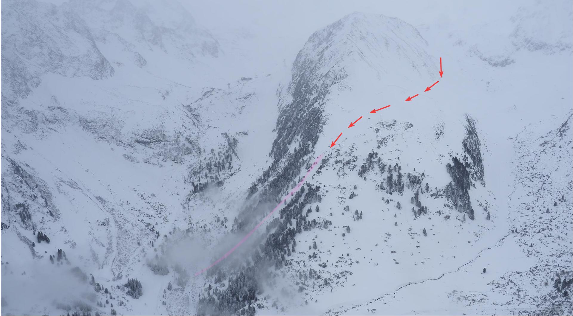
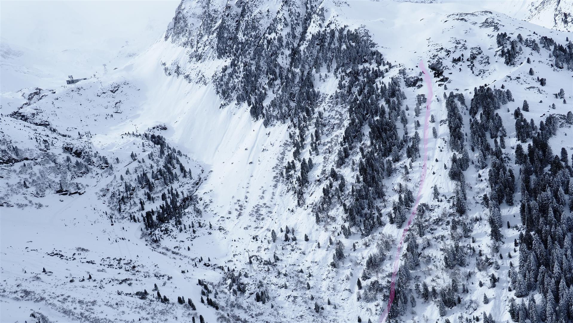
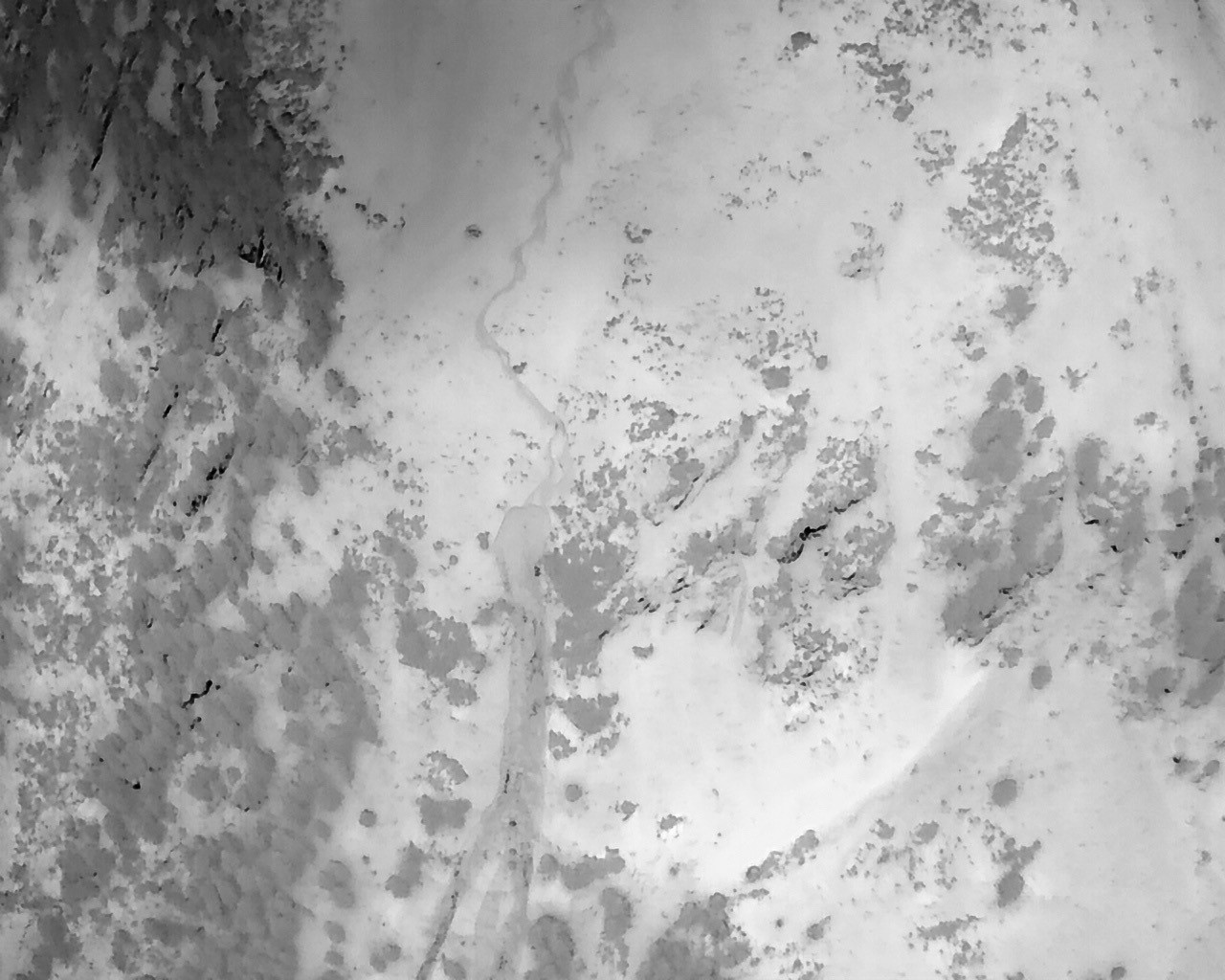
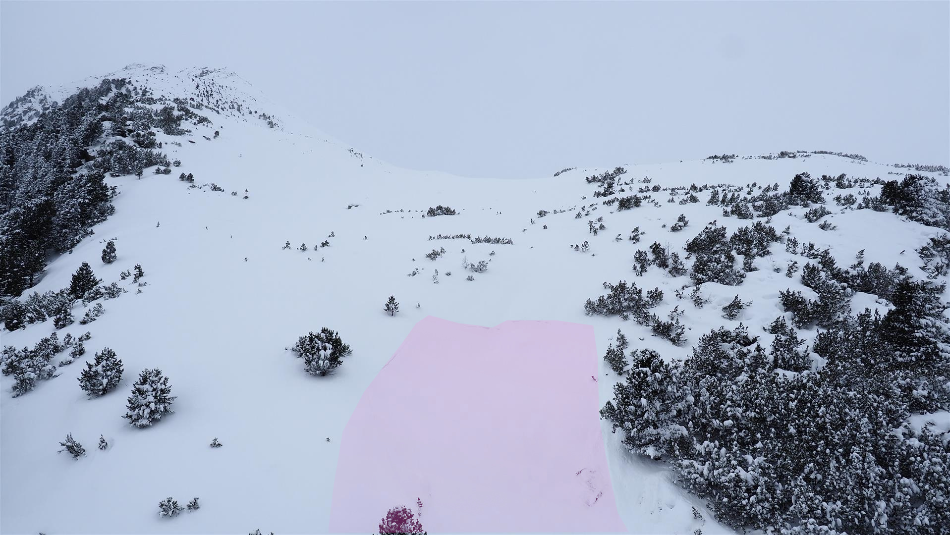
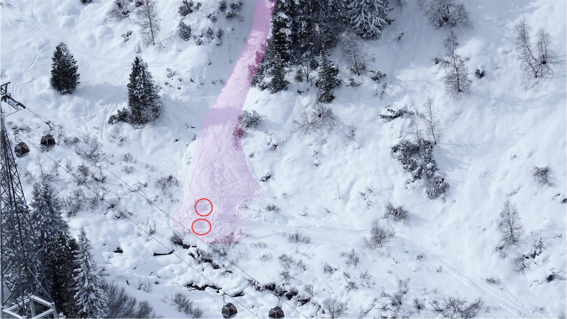
In the vicinity of the avalanche fracture we carried out an analysis of the snowpack together with one of our observers and the Alpine Police, with the support of Airbourne Police.
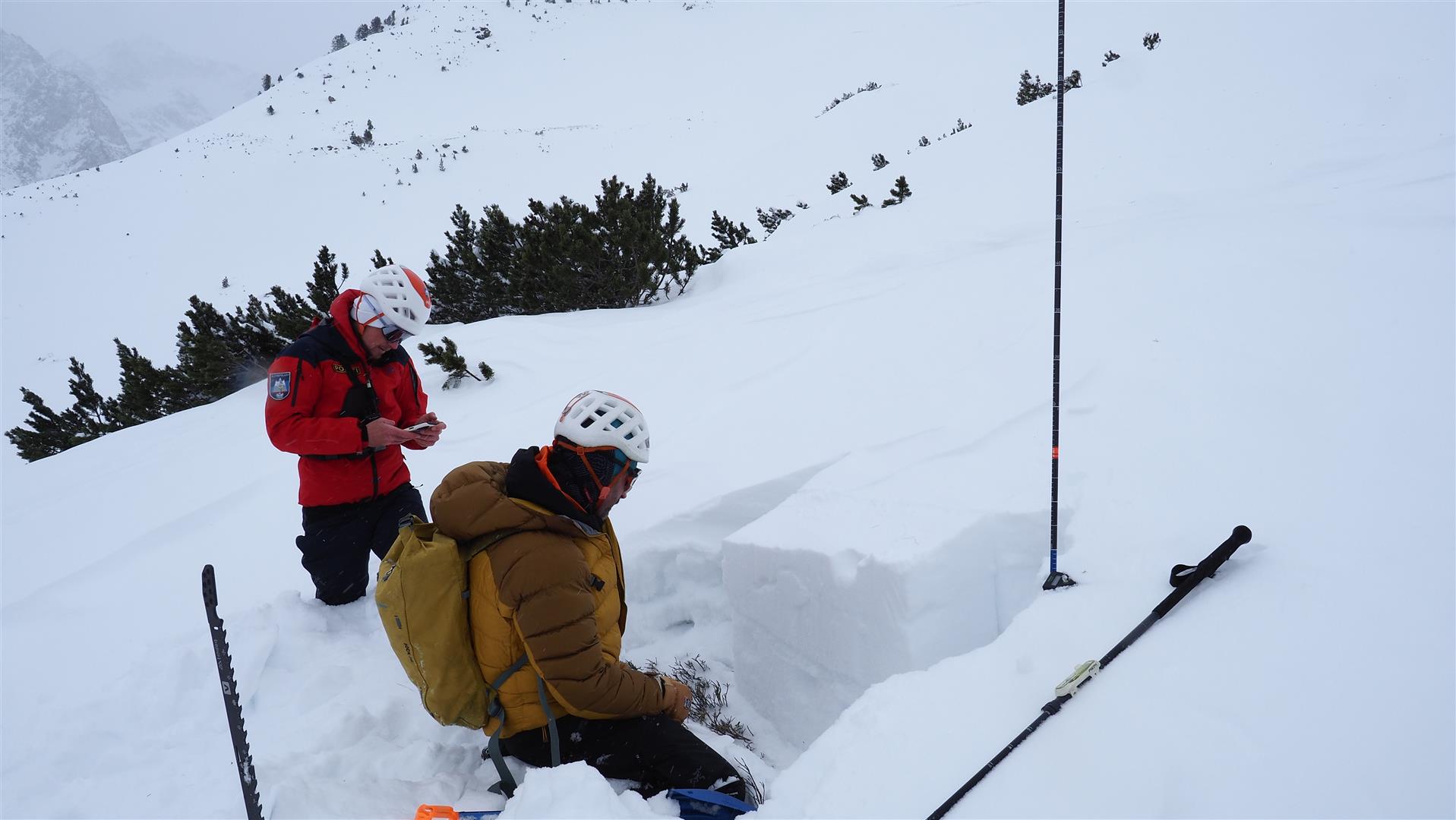
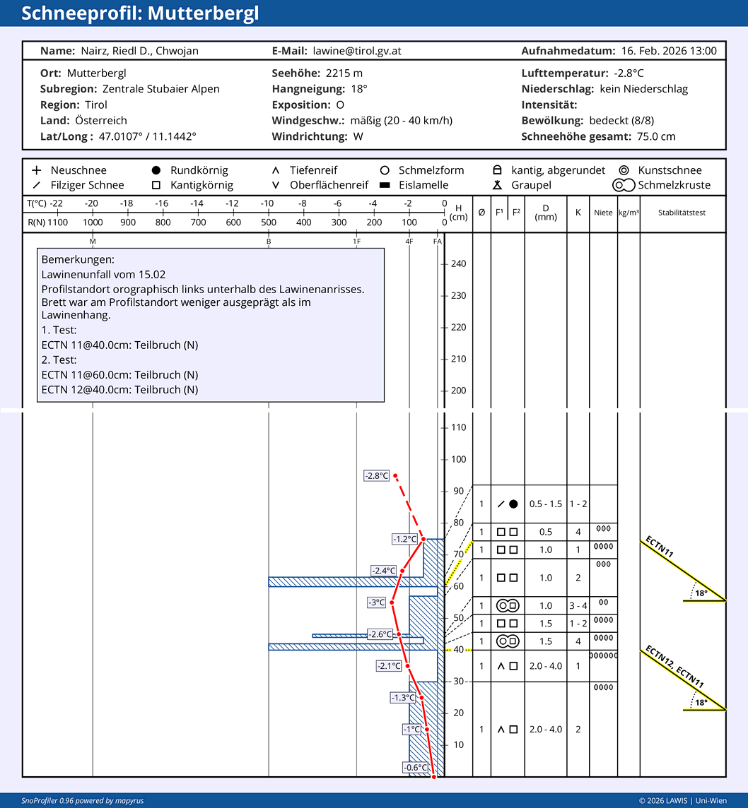
The profile confirmed the generally unfavorable snowpack layering which prevails this winter. What was significant for the incident was the marked weak layer of faceted crystals and rotten snow just beneath a rain crust which was generated at the beginning of December. The snow deposited on top of that was, however, not sufficiently bonded at the profile location. It was possible to initiate a fracture there, but it could not propagate.
In the very steep avalanche slope immediately bordering, the fracture propagation was probably made possible by a more compact layer of snowdrift masses.
Avalanche incident Gampberg, Verwall Massif on 15.02.2026
After a freerider’s jump on a very steep north-facing slope below the Gampberg in the Verwall Massif, an initially shallow slab avalanche triggered. To begin with, the person was able to secure himself by holding onto a small tree in the plummet path. However, the snowpack then fractured down to a deeper layer, and the plummeting snow masses made it impossible to hold onto the tree. The person was swept along, buried, dug out and brought with serious injuries to the hospital.