In North Tirol and northern East Tirol it is snowing on 1-2 February amid strong NW winds and generating fresh snowdrift masses. These will be prone to triggering for a brief spell. At latest on Saturday, 3 February, we expect (due to solar radiation) increasingly frequent loose-snow avalanches in extremely steep terrain. Glide-snow avalanches are an ongoing latent danger on steep grass-covered slopes. The persistent weak layer above 2600 m will probably play only a very minor role, on sunny, extremely steep slopes.
Some snowfall then lots of sunshine, with predominantly favorable conditions
GeoSphere Austria is forecasting for today and tomorrow (1-2 February) a cold front with fresh snowfall in Tirol. Most of it is expected to fall in northern and northwestern regions of North Tirol (10-20 cm, locally up to 25 cm). Winds will intensify to strong velocity in places. Tomorrow (2 February) a weak warm front will follow on its heels, bringing another few cm of fresh snow. Then skies will clear. Subsequently it will turn relatively mild and very sunny.


A brief snowdrift problem
As a result of the fresh snowfall and wind, a brief and contained snowdrift problem will arise. Avalanche prone locations will occur above 2000 m on steep slopes, behind discontinuities in the terrain. The snowdrift accumulations will be a danger only for a short time, including Saturday. On Friday afternoon, keep in mind that the proneness of snowdrift accumulations triggering will be heightened for a brief spell due to the rise in temperatures.
Loose-snow avalanches due to higher temperatures and solar radiation
The higher temperatures in early morning, at latest the expected solar radiation, will lead to increasingly frequent loose-snow avalanches on extremely steep slopes. This is a danger which is limited, contained and easy to estimate.

Glide-snow avalanches are a continuing latent danger
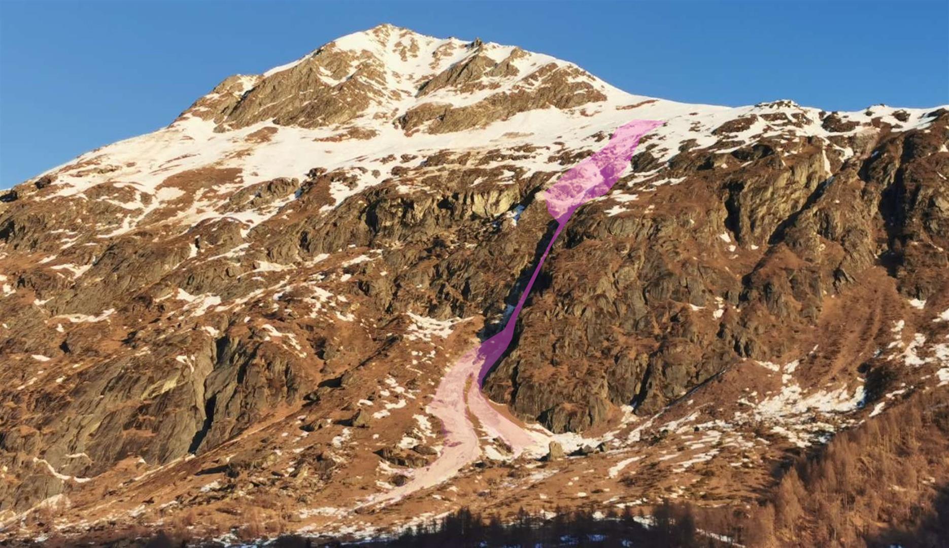
This year’s winter will go down in the books as a “glide-snow avalanche winter.” Even if glide-snow avalanches release more seldom in the interim, the huge danger potential is still a threat. So pay close heed to this danger and keep your distance from glide cracks.

Persistent weak layer from last week has lost significance
Last Sunday, we announced a persistent-weak-layer problem due to a near-surface faceted weak layer. This affected very steep sunny slopes above 2600 m. Since Monday (29 January) no further avalanches from this weak layer have been reported. Based also on our own stability tests and external snow profiles, we now assume that the persistent weak layer will only be of significance in very isolated cases with large additional loading, with tendency to diminish further.


What’s next?
High-pressure weather conditions will predominate well into the coming week. In regions where there has been lots of snowfall, powder will be present from place to place. Otherwise, prospects of firn snow on (very) steep sunny slopes will get better day by day. Increasingly favorable avalanche conditions are in the making. The daily rise in temperatures can, however, have some undesirable effects, e.g. heightened gliding snow activity.

Cornices and danger of falling on hard-frozen surfaces
Keep an eye on the cornices, which are quite large for this juncture of the season. Also the risks of taking a fall on the steep, hard-frozen slopes due to the alternating moisture of the near-surface layers and nocturnal cooling, leading to a melt-freeze crust capable of bearing loads. Not to be underestimated!


A meteorological comparison of January 2024…
