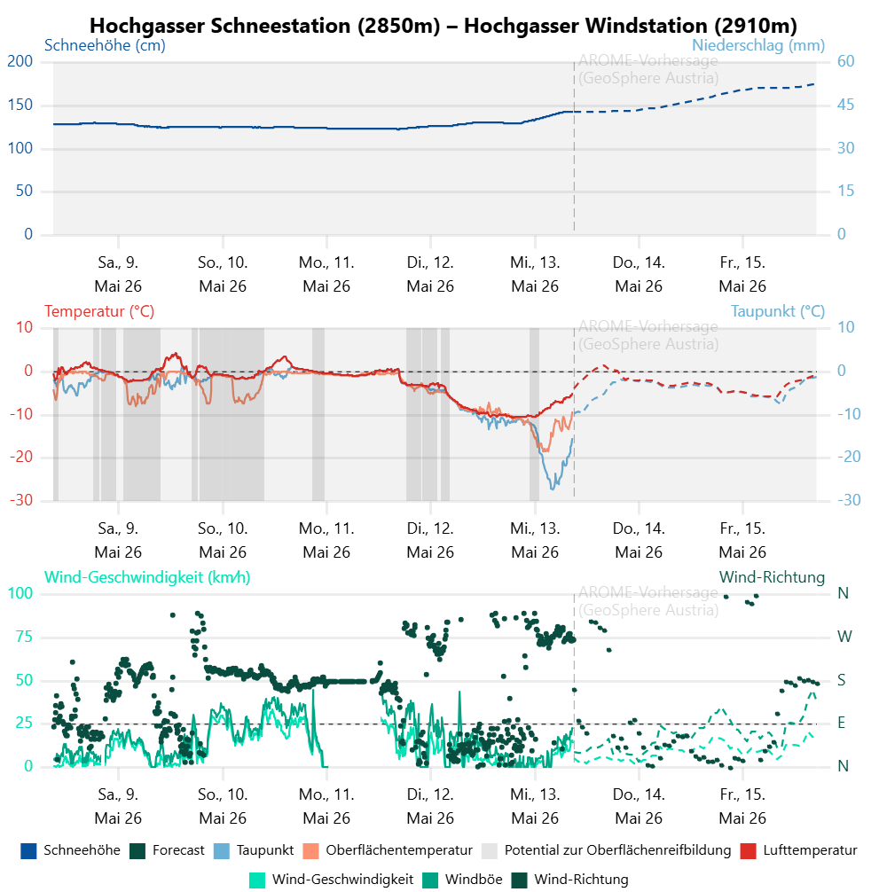
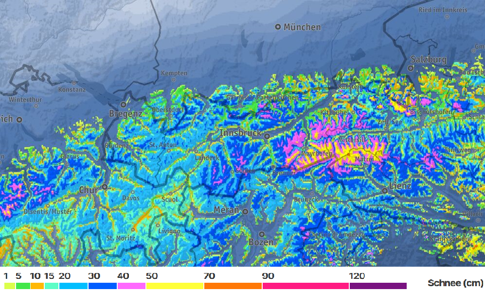
Over the next few days, frequently heavy precipitation is anticipated down to intermediate altitudes, including snowfall. Two bouts are expected in the mountains by Saturday evening, 16.05, bringing 20-40cm of fresh snow widespread, up to 60cm in the eastern sector of the Main Alpine Ridge.
Accompanied by wind, fresh trigger-sensitive snowdrift accumulations will be generated in places which can be unleashed as avalanches by persons. On extremely steep slopes, naturally triggered loose-snow avalanches can be expected intermittently. In the major areas of precipitation, avalanches can grow to medium size.
Late-winter weather: heavy snowfall in places
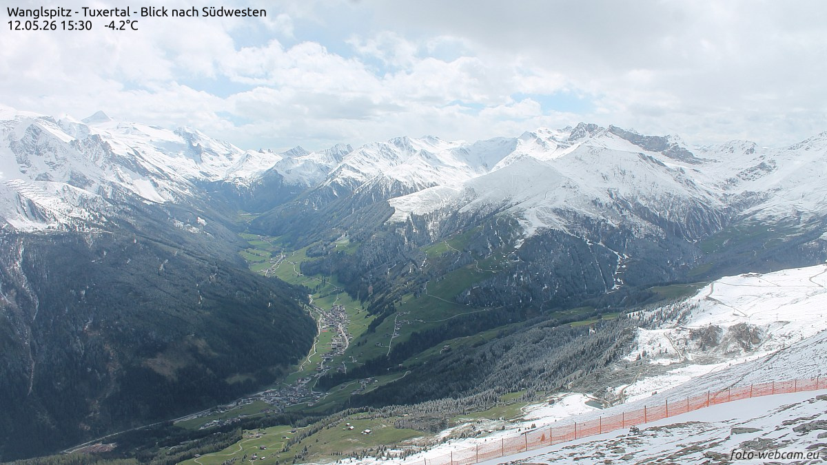
A cold front will bring precipitation starting on Thursday, 14.05, with dropping temperatures. The snowfall level will descend down to intermediate altitudes, hover around 1500m over the next few days. “Ice Saints Day” will give honor to its name, in other words, it’s going to get wintery again.
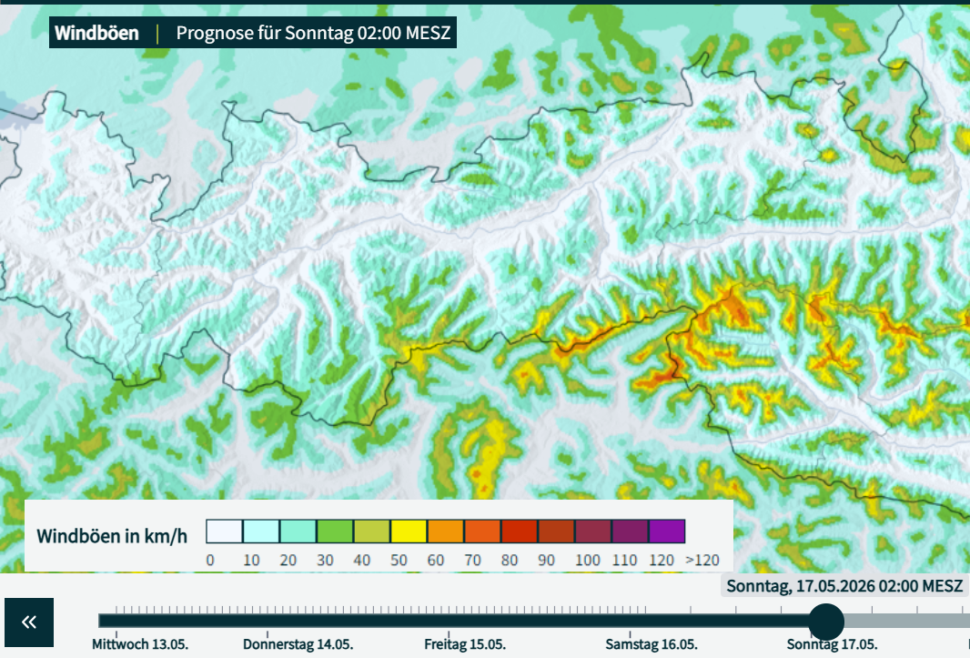
Most of the fresh fallen snow is forecast for the Zillertal Alps and in the Hohe Tauern. In those regions, over 50cm of fresh snow is anticipated by Saturday evening, 16.05, in other places 20-40cm widespread. Winds will initially be blowing at only moderate velocity, but as of Saturday, particularly along the Main Alpine Ridge and southwards therefrom, intermittently at strong velocity. Starting on Sunday, weather conditions will improve, temperatures will rise again gradually as the new week begins.
Increasing avalanche danger
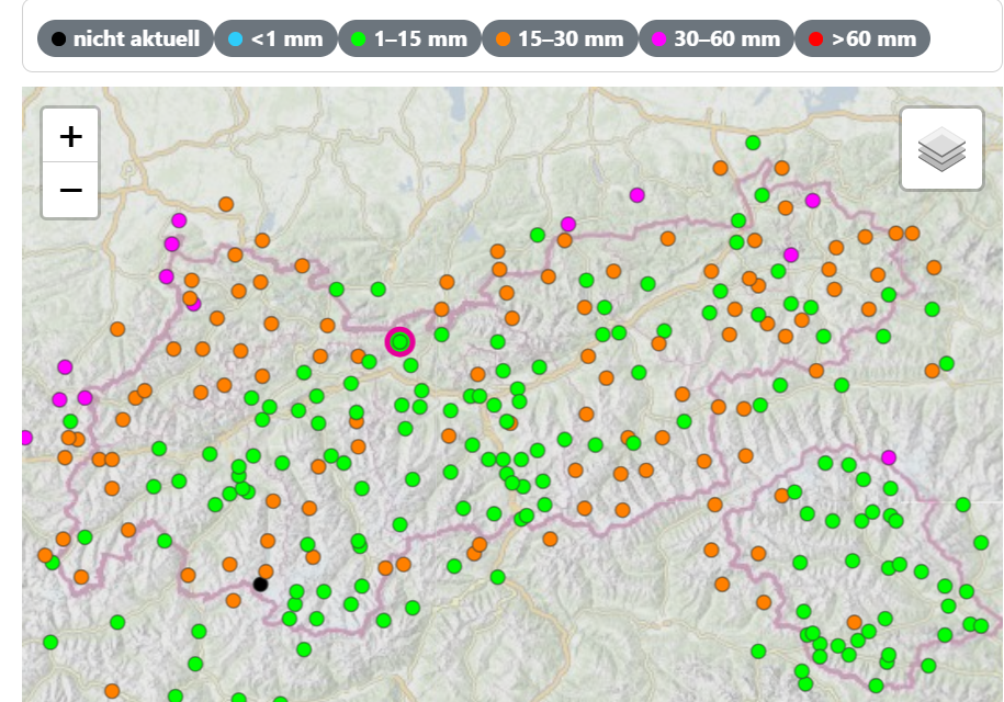
As a result of the fresh snow, danger of dry-snow avalanches will increase in the mountains again. Since the start of the week there has been 10-20cm of fresh snow registered already, locally somewhat more.
Potential weak layers
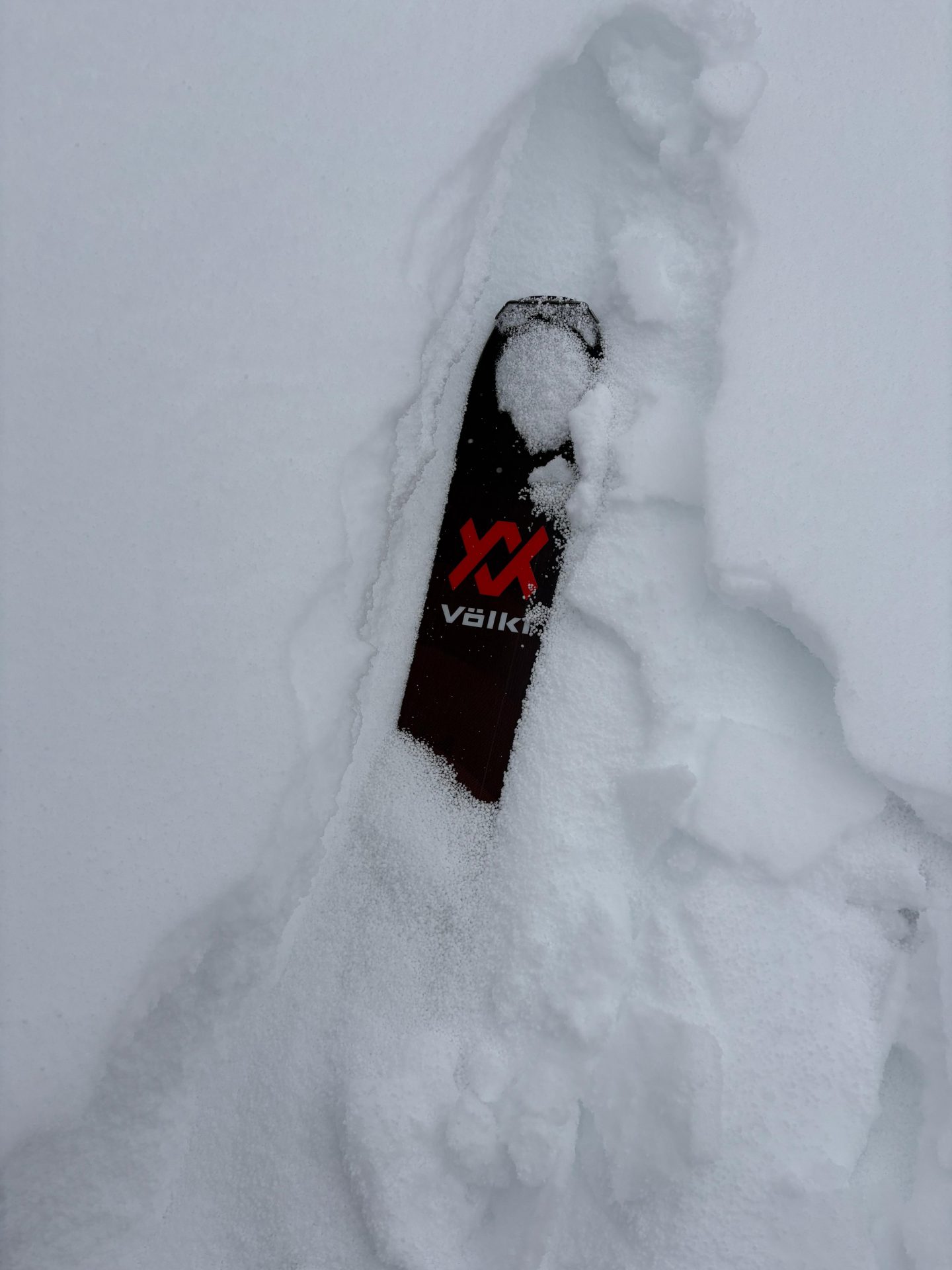
Over the course of the last period of snowfall, graupel was deposited from place to place. This now creates a potential weak layer beneath the fresh fallen snow and freshly generated snowdrifts expected over the coming days.
In equal measure, there are indicators of a near-surface weak layer of faceted crystals being generated due to the “cold on warm” Danger Pattern (dp.4) in high alpine, sunny, very steep terrain. This is understandable because of the disparity in temperature between a moist-to-wet old snowpack surface as the snow fell and the cold fresh fallen snow on top of it, coupled with the low temperatures.
Slab formation from wind and warmth
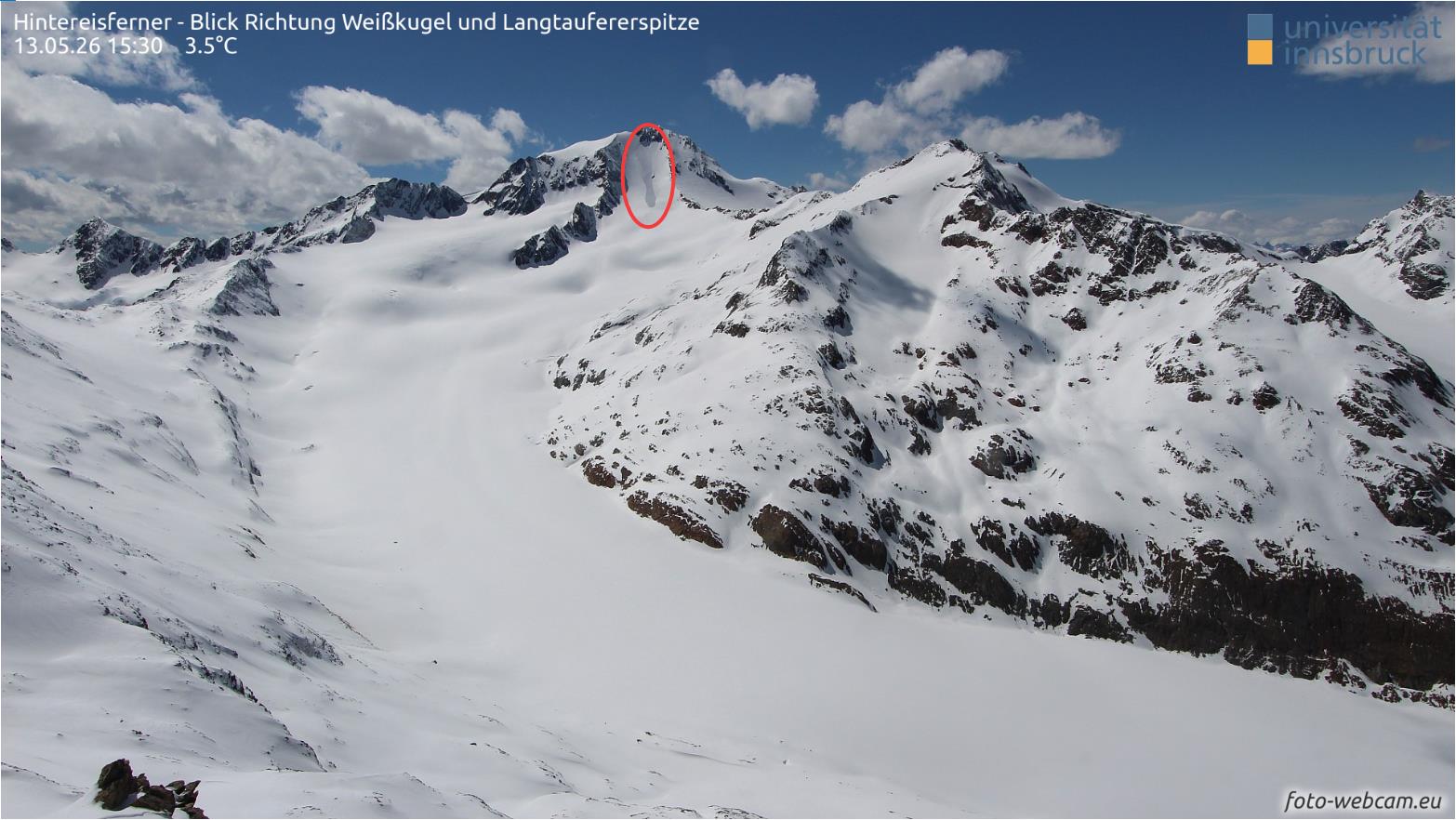
Avalanche prone locations are currently to be found particularly in ridgeline areas and on very steep leeward slopes, but also on very steep sunny slopes at high altitudes. (The latter, particularly due to enhanced formation of slabs today, 13.05, due to solar radiation.)
As a result of the approaching precipitation, relatively small-sized snowdrift accumulations will be generated to begin with, due to only moderate velocity winds, particularly in pass and ridgeline areas. The frequency and spread of danger zones will be greater in those areas which get 40cm of fresh snow and more. As winds increase in intensity starting on Saturday, 16.05, more far-reaching, trigger-sensitive snowdrift accumulations are expected to form along the Main Alpine Ridge in particular, and southwards therefrom, starting at about 2000m altitude and upwards. The likelihood of their triggering will increase with ascending altitude. Avalanches can grow to medium size. Such avalanche prone locations occur in gullies, bowls and behind sharp drops in the terrain but, as long as visibility permits, should be easily recognizable.
Although bright intervals are anticipated on Friday as well as starting on Sunday, numerous loose-snow avalanches are nevertheless expected in extremely steep terrain as a result of the higher temperatures and solar radiation. These releases can reach medium size especially in the regions of heavy snowfall. Also: isolated generally small-sized glide-snow avalanches are possible on steep grass-covered slopes.
In addition, the anticipated rise in temperatures will further the formation of slabs and thereby, raise the likelihood of slab avalanches for a brief spell.