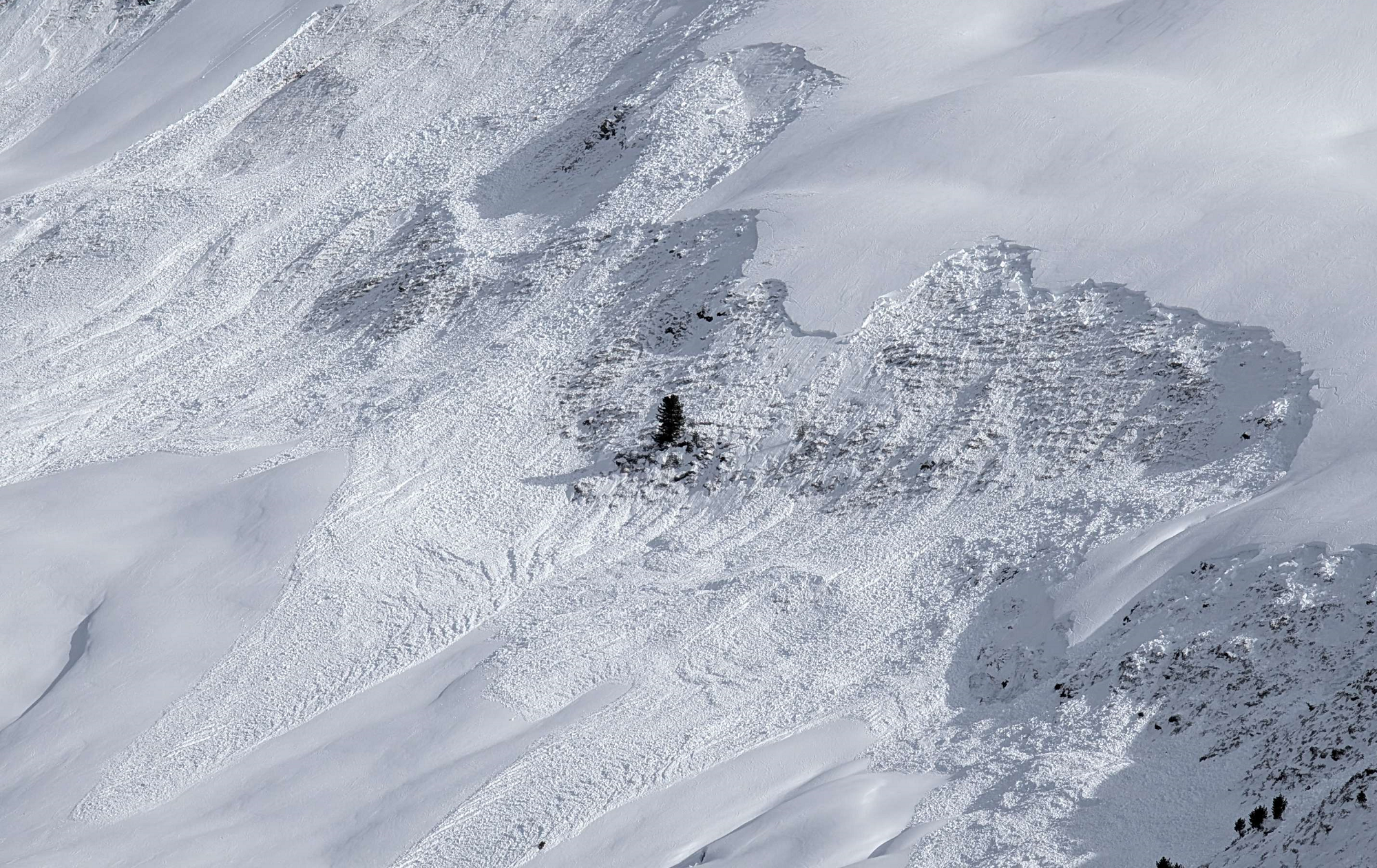
As the period of heightened naturally triggered dry-snow avalanches draws to a close, an accident-prone avalanche interval for winter sports enthusiasts remains.
In many places, weak layers in the old snow can be unleashed by one single person and trigger medium-to-large sized slab avalanches. Danger zones are invisible, they occur particularly on west, north and east-facing slopes above 1800m.
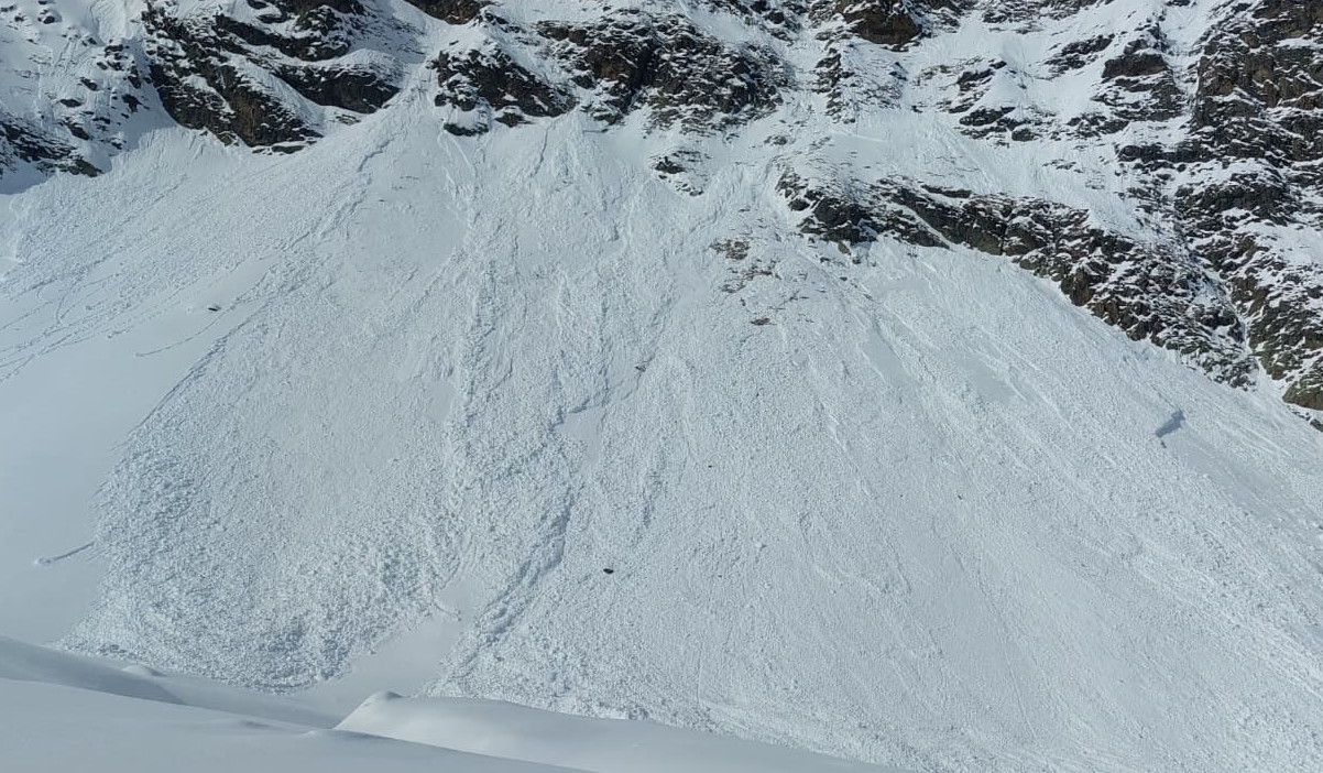
As a result of sunshine and higher temperatures, numerous loose-snow avalanches can be expected on very steep sunny slopes, especially on Wednesday, 25.02. Through their impulse, also slab avalanches can fracture in the old snow. Also, gliding snow activity has increased on steep grass-covered slopes. Potential runout zones should be avoided.
Immense caution / restraint are advised:
- Limit tours to moderately steep terrain (<30°)
- Keep a good distance from large steep slopes (remote triggerings possible)
Final accents of a turbulent weather phase
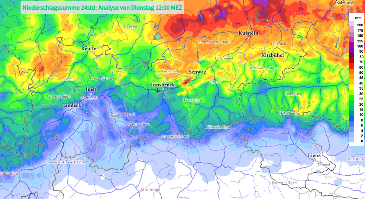
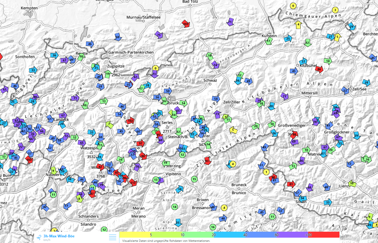
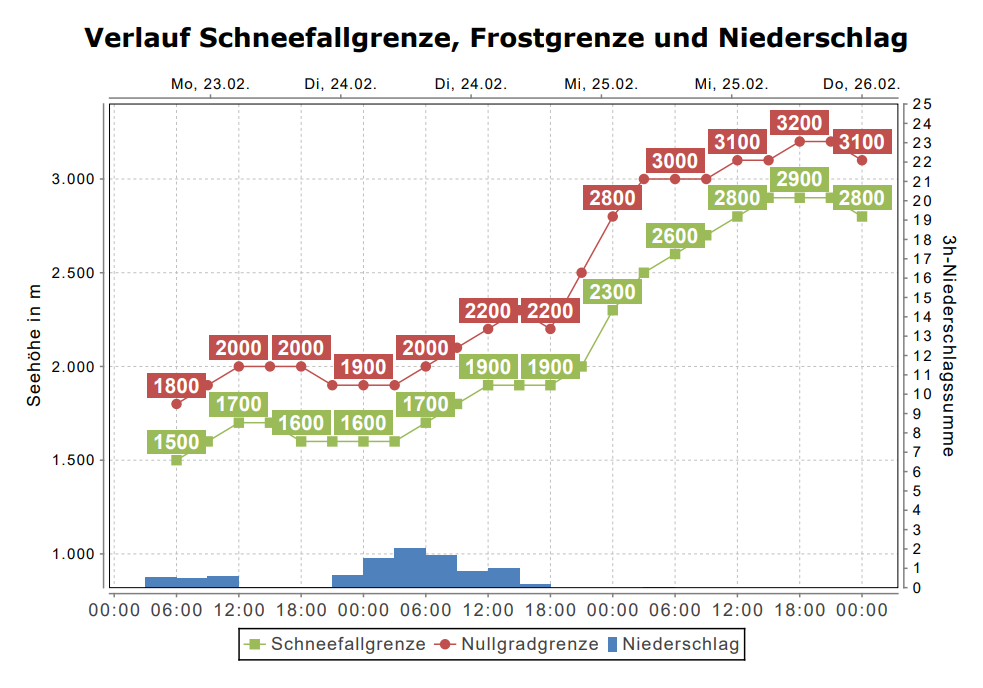
A warm front will bring lots of fresh snow to mountains in many parts of North Tirol today, Tuesday, 24.02, with rainfall at low and intermediate altitudes. The westerly winds will be blowing at strong-to-storm strength.
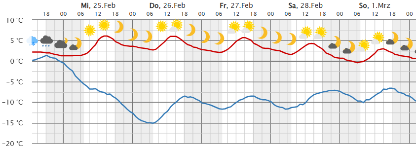
After the warm front has passed through, weather conditions will calm sustainably. Starting on Wednesday, sunny high-pressure weather conditions will prevail. Temperatures will rise significantly, the zero-degree level climb to 3200m, temperatures up to 18°C are forecast in Innsbruck
A complex avalanche situation, gradually improving
Treacherous weak layers at ground level in the old snow
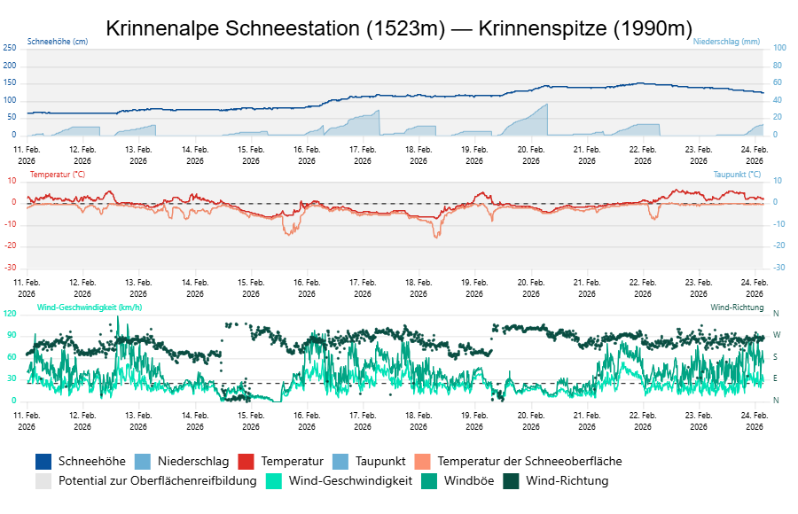
We begin with the persistent weak layer problem. Where else? That has been the primary cause of the unusually dangerous situation of recent days, the large-scale naturally triggered avalanches and the avalanche incidents involving persons.
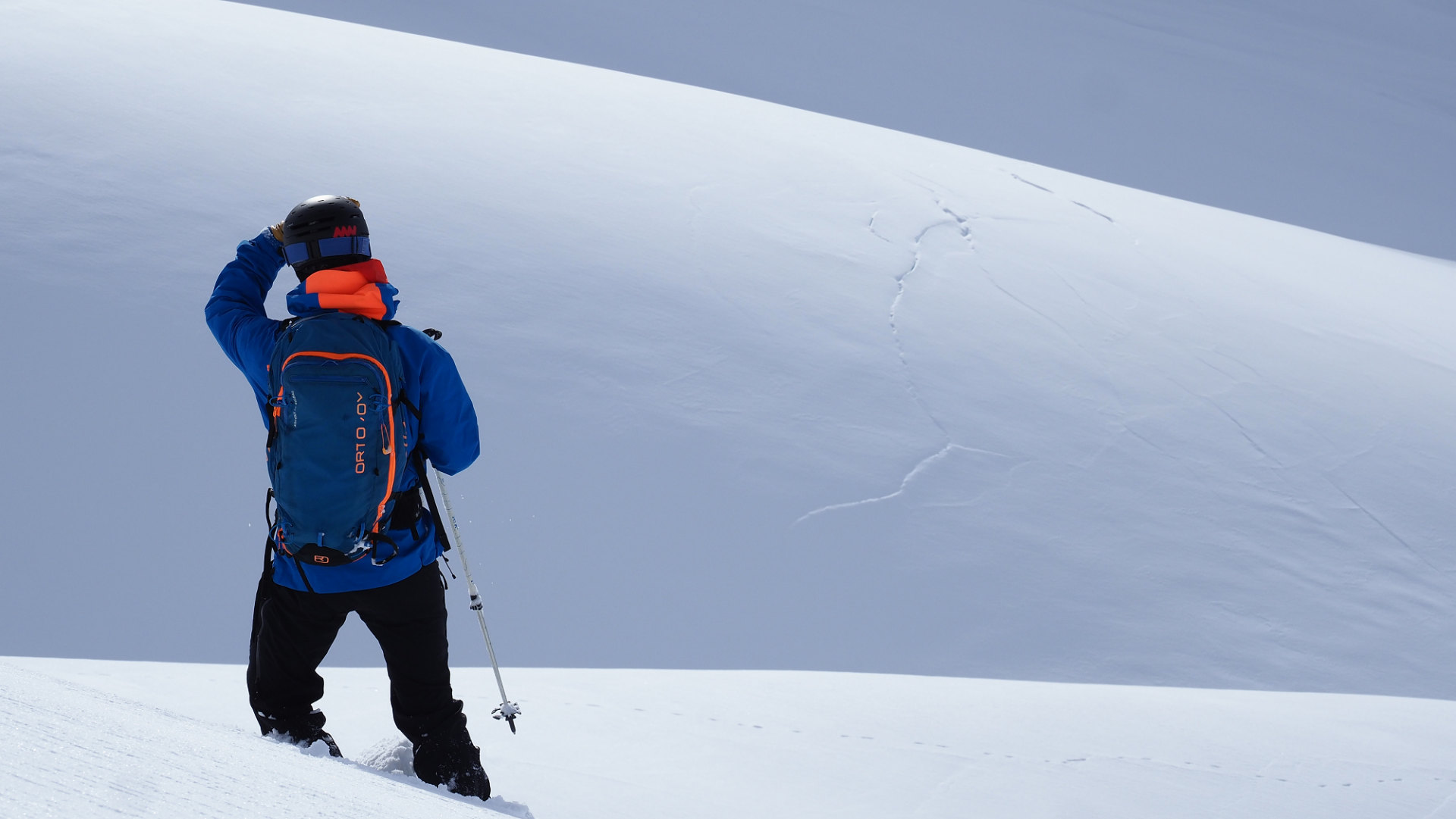
With the end of the current bout of precipitation, including wind impact, the naturally triggered avalanche activity due to fractures in the weak old snowpack fundament will gradually recede. That is because no additional burden in the form of fresh snow and drifts will be deposited on top of the snowpack which could provoke a weak layer to trigger naturally. At the same time, the weak layer still remains prone to triggering: the large-sized crystals have little connection to one another and bonding can strengthen only slowly. A fracture triggering is still possible Also fracture propagation, as the second part in generating an avalanche, is likely if the weak layer and a slab are present. This applies to west, north and east-facing slopes above about 1800m and south-facing slopes above about 2600m.
However, if no additional burden of fresh snow and drifts leads to further naturally triggered avalanches, the question arises: Can persons initiate fractures in the weak layer and thereby trigger a slab avalanche? And if so, in how many places is this possible?
- In western and northwestern regions of North Tirol, the ground-level trigger-sensitive weak layers are now, on average, much more than a metre beneath the snowpack surface. Triggerings by winter sports enthusiasts are possible particularly in transitions from deep to shallow snow. Since there was a great deal of wind impact accompanying the precipitation and the snowpack surface is frequently highly variable, there are a few such danger zones.
- In the other parts of the land where there was significantly less snowfall, danger zones where persons can trigger the snowpack by their own weight are thus far more widespread, simply because the weak layers have far less snow deposited on top of them. Least favorable of all are the inneralpine massifs between Reschenpass and Pass Thurn and the mountains in central East Tirol.
Thus, from a period of heightened naturally triggered avalanches, we now enter a predestined phase of triggerings caused by persons! The snowpack in most places will feel far stabler / sound far stabler than before. Danger signs such as fractures on the surface and whumpf noises will occur much more seldom, simply because the prevalent weak layers lie far deeper inside the snowpack and can be triggered much less often. However, they are still there and more treacherous than ever before. Greater snow deposits on top of them also means a more massive slab and, consequently, potentially larger-sized avalanches.
Large, steep west, north and east-facing slopes above about 1800m should under all circumstances be avoided. Remote triggerings are still possible in zones beneath such slopes. Standard measures such as small groups descending singly over steep slopes are urgently recommended. That way, in case an avalanche triggers, quick action is possible. A cautious and defensive route selection is the rule of the day for accident-free endeavors in backcountry.
Snowpack thoroughly wet: from rain, higher temperatures, sun
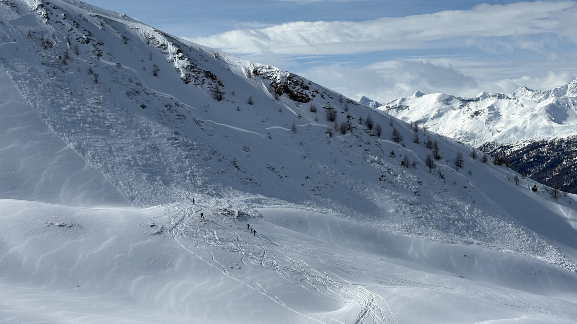
Currently (24.02, 10:30 am) it is raining widespread, often intensively, down to 1800-2000m, in places at higher altitudes. The snowpack is thus becoming thoroughly wet and losing its firmness. Thereby, numerous naturally triggered loose-snow avalanches will trigger on very steep slopes in all aspects at these altitudes. In regions with rainfall, also wet-snow naturally triggered slab avalanches can be expected near the timberline which fracture in ground-level layers of the fundament. Due to this marked water seepage and consequent weakening of the snowpack, the persistent weak layer problem will be at an end in these places once the precipitation has ended.
As a result of the higher temperatures and solar radiation also on Wednesday, 25.02, numerous loose-snow avalanches can be expected on very steep sunny slopes. This will occur particularly at altitudes where the current precipitation is falling as snow. Such loose-snow avalanches can – through their impulse – also trigger slab avalanches in the old snow, particularly on steep east and west-facing slopes above about 1800m and on south-facing slopes above about 2600m.
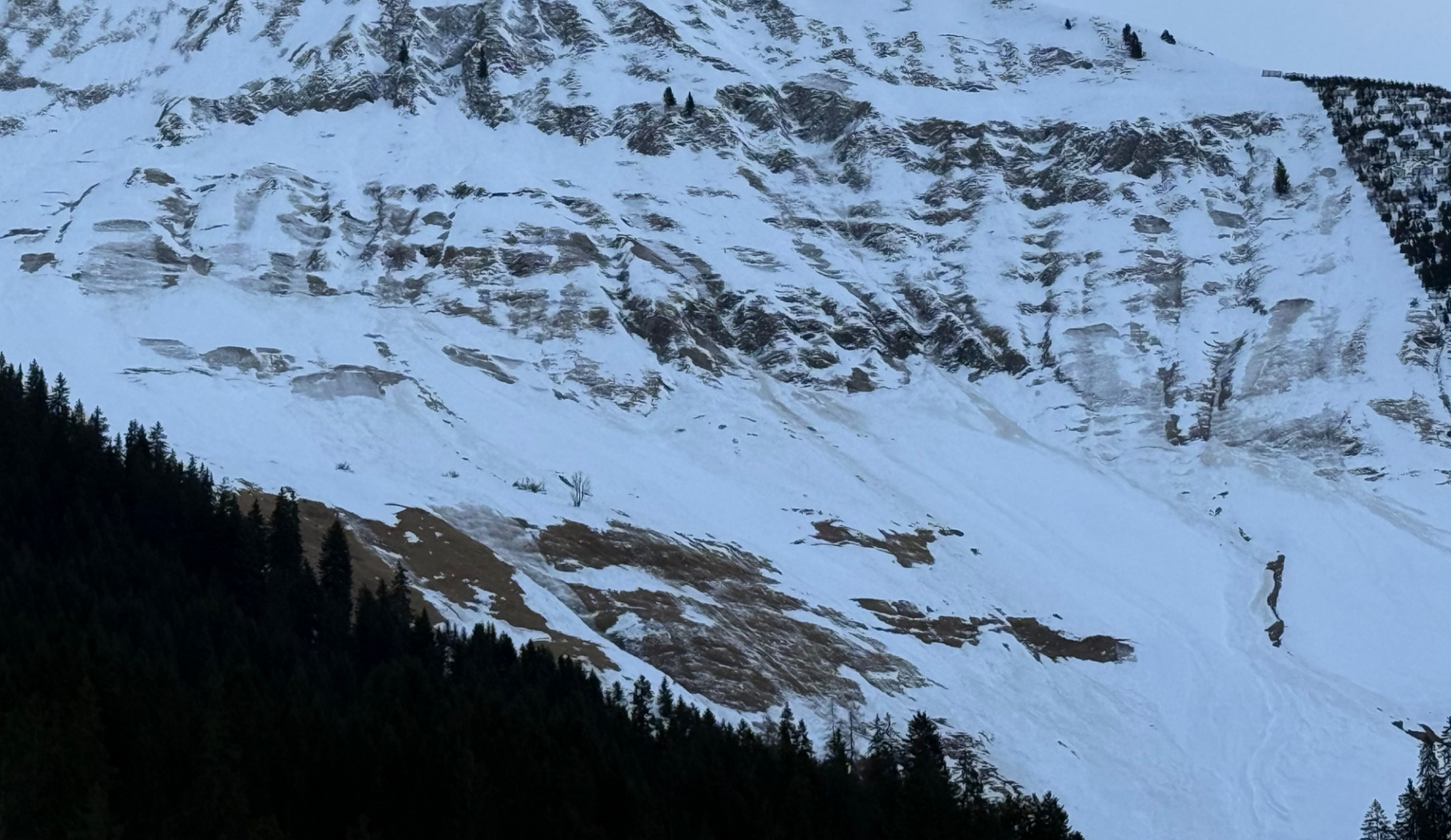
In addition, gliding snow on steep grass-covered slopes has also increased significantly due to the warmth starting on Monday, 23.02, and the rainfall. This gliding snow activity will remain heightened over the next few days.
A positive outlook
If high-pressure weather conditions persist, we expect in just a few days, following nights with clear skies, days with good firn-snow conditions and a daytime avalanche danger cycle. Thereby, finally attractive options will be available again, with good descents on south-facing slopes where one can avoid the treacherous persistent weak layer problem at the same time.