Category: Current situation
-
Wind and lots of snow: considerable avalanche danger regionally
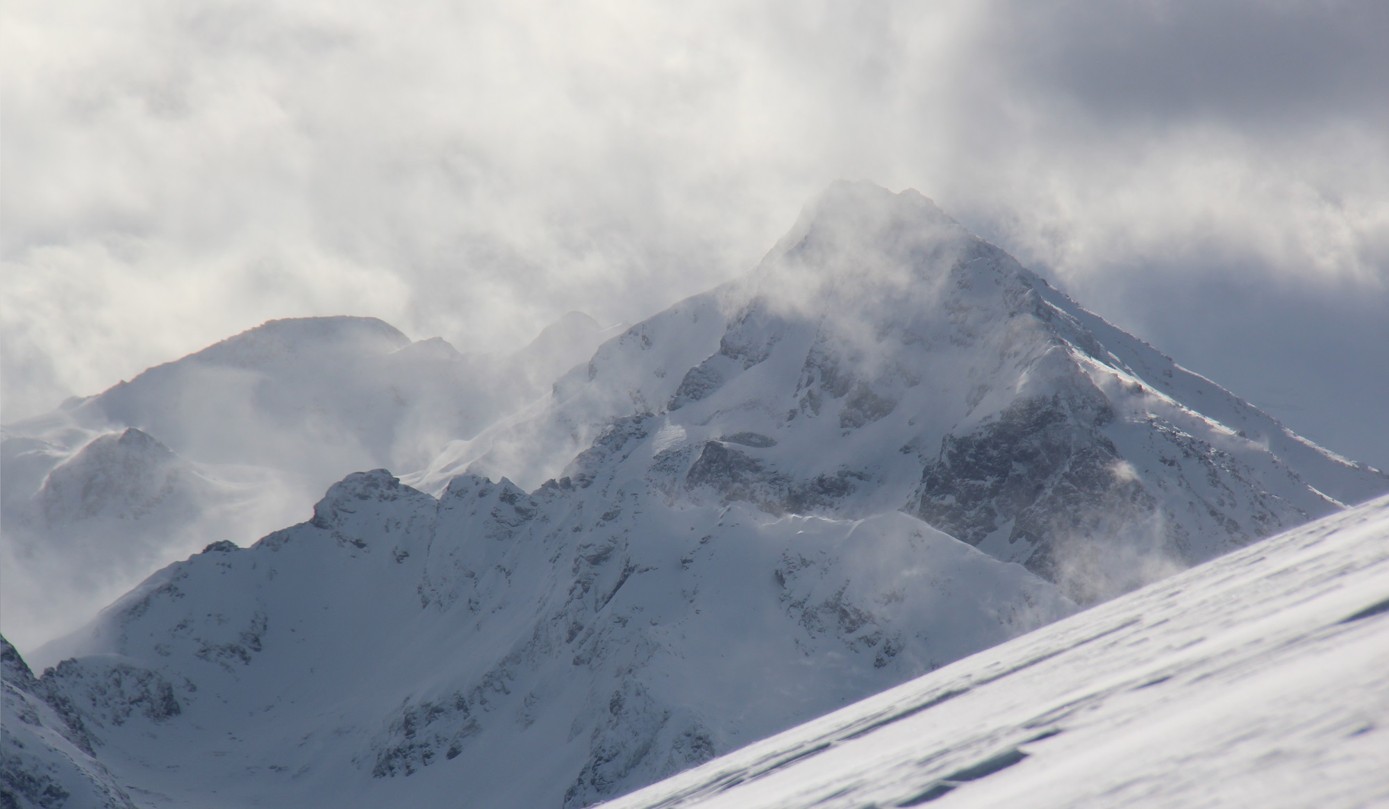
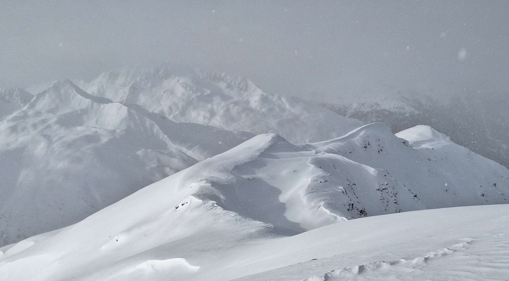
Heavy precipitation in far-reaching parts of North Tirol accompanied by often storm-strength NW winds have negatively affected avalanche danger levels. The snowdrift problem remains preeminent, avalanche prone locations have become far more frequent. In some places avalanches can be easily triggered and become highly dangerous for winter sports enthusiasts. We recommend a defensive route selection…
-
Main danger: snowdrifts, often difficult to recognize
Recently and freshly generated snowdrift accumulations are still the main danger. These accumulations are generally not very deep but often easily triggered. In extremely steep terrain pay close heed to the dangers of being swept along and falling. Caution urged esp. above forest edges on W/N/E facing slopes and in steep ridgeline terrain in all…
-
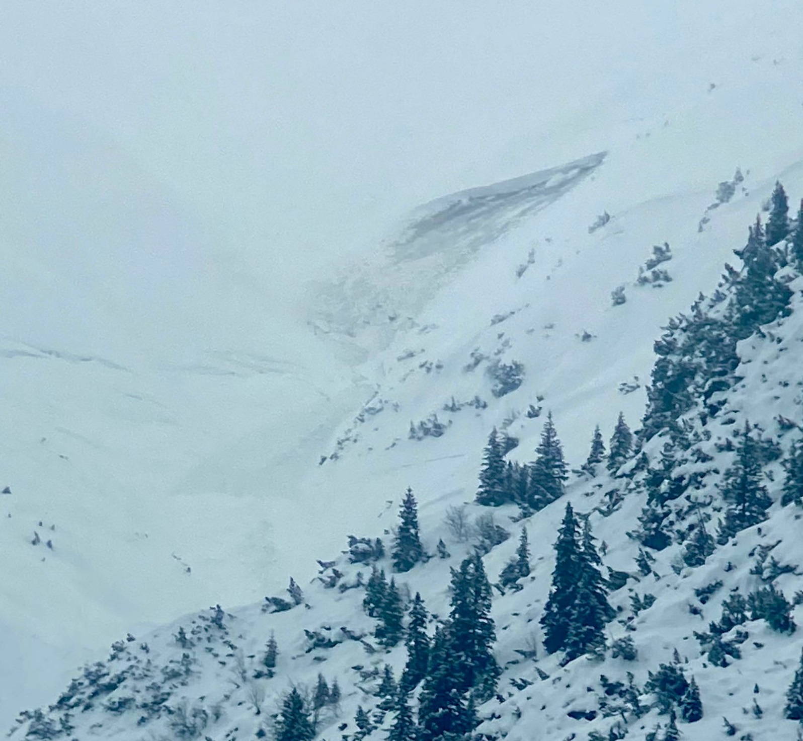
Increased triggerings – more danger zones due to more wind
On the weekend, particularly yesterday on 14.01.2024, increasingly frequent triggerings were reported to headquarters. One avalanche on the north flank of Geierköpfe in the Ammergau Alps was fatal. Two ice climbers were caught by an avalanche, one person did not survive the fall. In all the triggerings, a fresh and easily recognized snowdrift problem prevailed.…
-
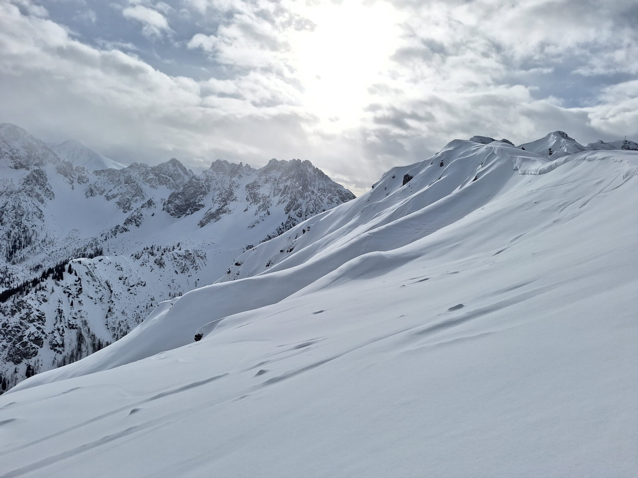
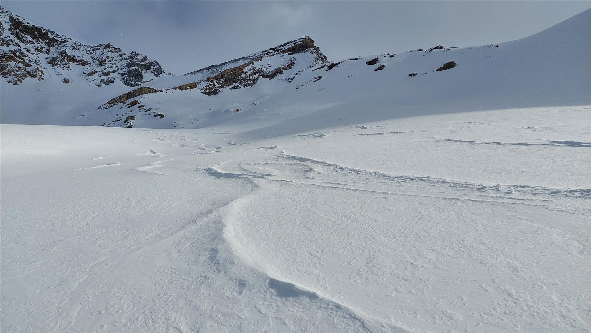
Trigger-prone snowdrift accumulations , easily recognized, otherwise good backcountry touring
Main problem this coming weekend: fresh snowdrift accumulations, small but easily triggered. In many wind-protected spots beautiful powder with surface hoar. Glide-snow avalanches on steep grass-covered slopes can still trigger naturally and grow to dangerously large size. Circumvent all zones below glide cracks. Current situation Snowdrift problem The older snowdrift accumulations from recent days have…
-
Easily triggered snowdrifts …but also lots of powder
By the end of Sunday, 07.01.2024, 20-40 cm of fresh snow is expected in Tirol, more from place to place. The snow will often fall without wind impact, in some places with moderate influence. Wherever there is wind, easily triggered snowdrifts will accumulate. For that reason, avoid fresh drifts in steep terrain. If winds become…
-
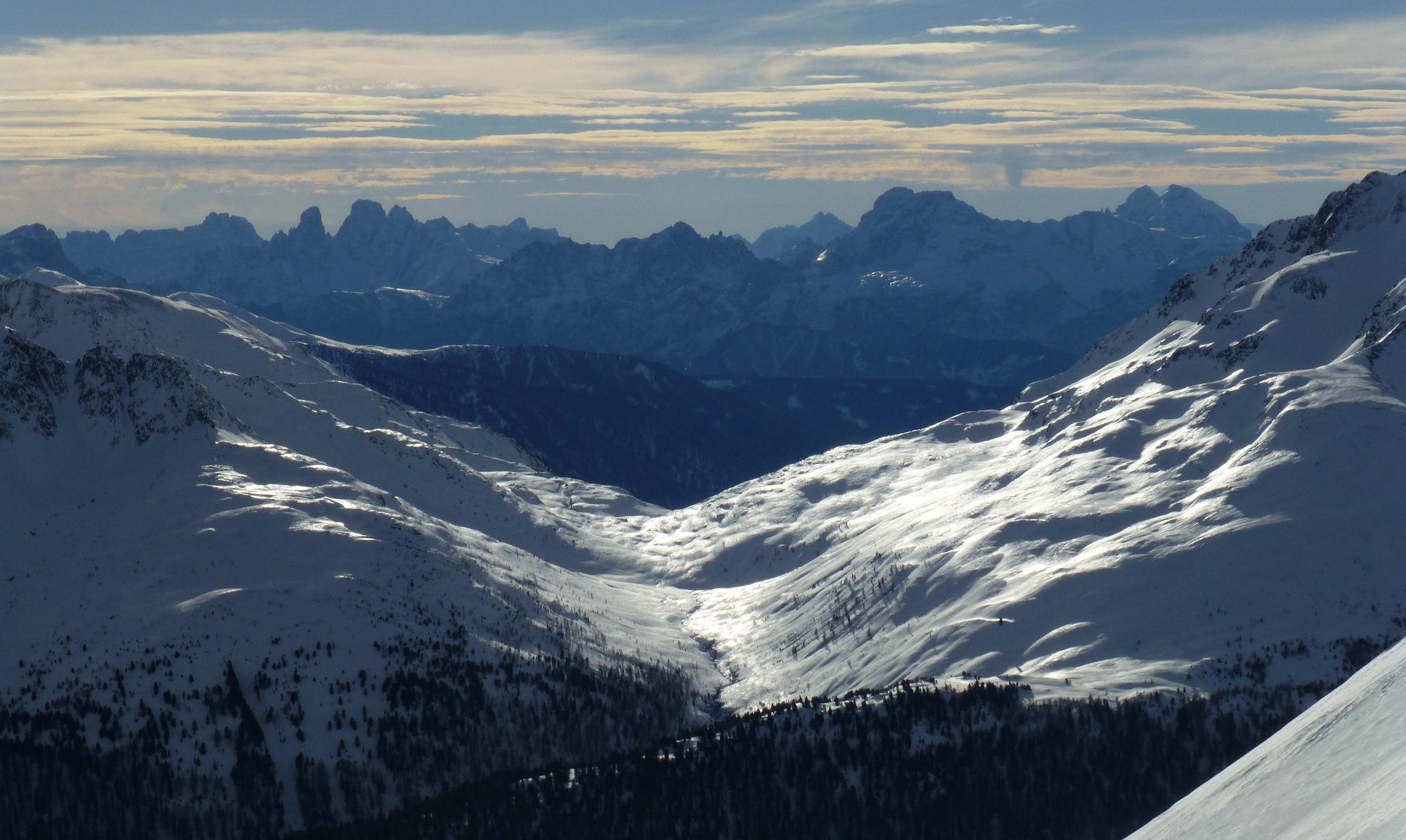
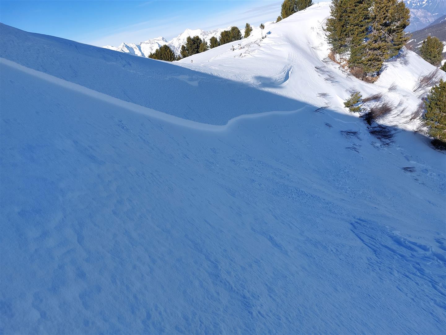
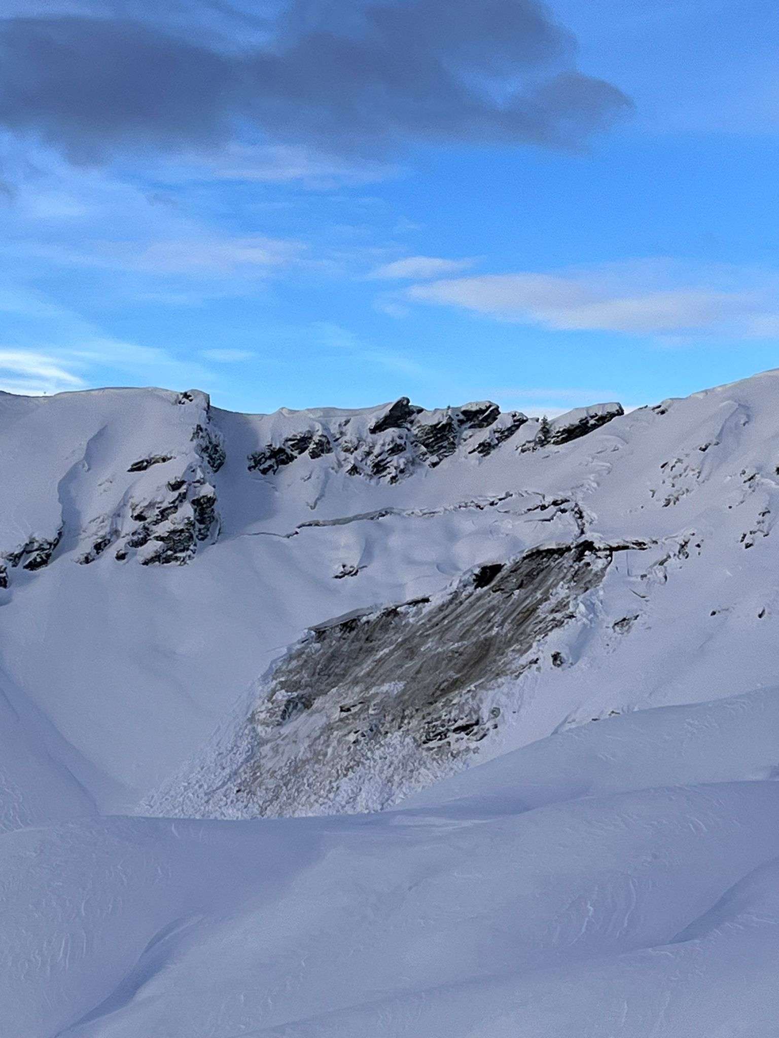
Snowpack stability good; latent glide-snow problem
The snowpack is well consolidated over widespread areas, although the surface is highly diverse and (from a skiers’ point of view) rough going. In regions where snowfall has been heavy, isolated naturally triggered glide-snow avalanches are still possible on steep grass-covered slopes. Current avalanche situation The gliding snow problem is currently the pre-eminent source of…
-
Persistent gliding snow problem; Short analysis of fateful Rofelewand avalanche (Pitztal)
The snowpack has settled significantly as a result of the noticeably higher temperatures, avalanche danger has receded. What remains: a persistent gliding snow problem and a diminishing snowdrift problem at high altitudes. Also in this blog: a brief analysis of the fateful avalanche near the Rofelewand in Pitztal. Heavy precipitation and storm winds – a…
-
High avalanche danger regionally – naturally triggered avalanches expected
Up to 150 cm of fresh fallen snow and storm-strength winds are creating a critical avalanche situation regionally, with High avalanche danger (level 4). Increasingly frequent naturally triggered releases are expected during the period of intensive precipitation, with numerous avalanche prone locations for winter sports enthusiasts. In the major areas of precipitation the dangers in…
-
Avalanche situation slowly easing
There has been lots of precipitation throughout Tirol in the last few days. Accompanied frequently by strong winds, far-reaching snowdrift accumulations have been generated which were then often blanketed by fresher snow. These remain prone to triggering at high altitudes. Especially on very steep slopes behind crests, ridges or protruberances, these spots will be prone…
-
Turbulent weather, complex situation
Lots of fresh snow accompanied by strong westerly winds has ratcheted up avalanche danger since yesterday, Sunday, 10.12. Above 2200 m wide-ranging snowdrift accumulations have been generated which are prone to triggering. Especially in the major areas of precipitation they are often blanketed and unrecognizable. On steep grassy slopes the gliding snow activity has increased…