Category: Current situation
-
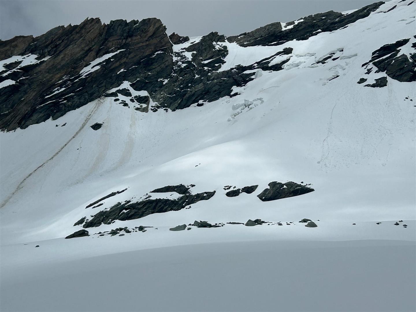
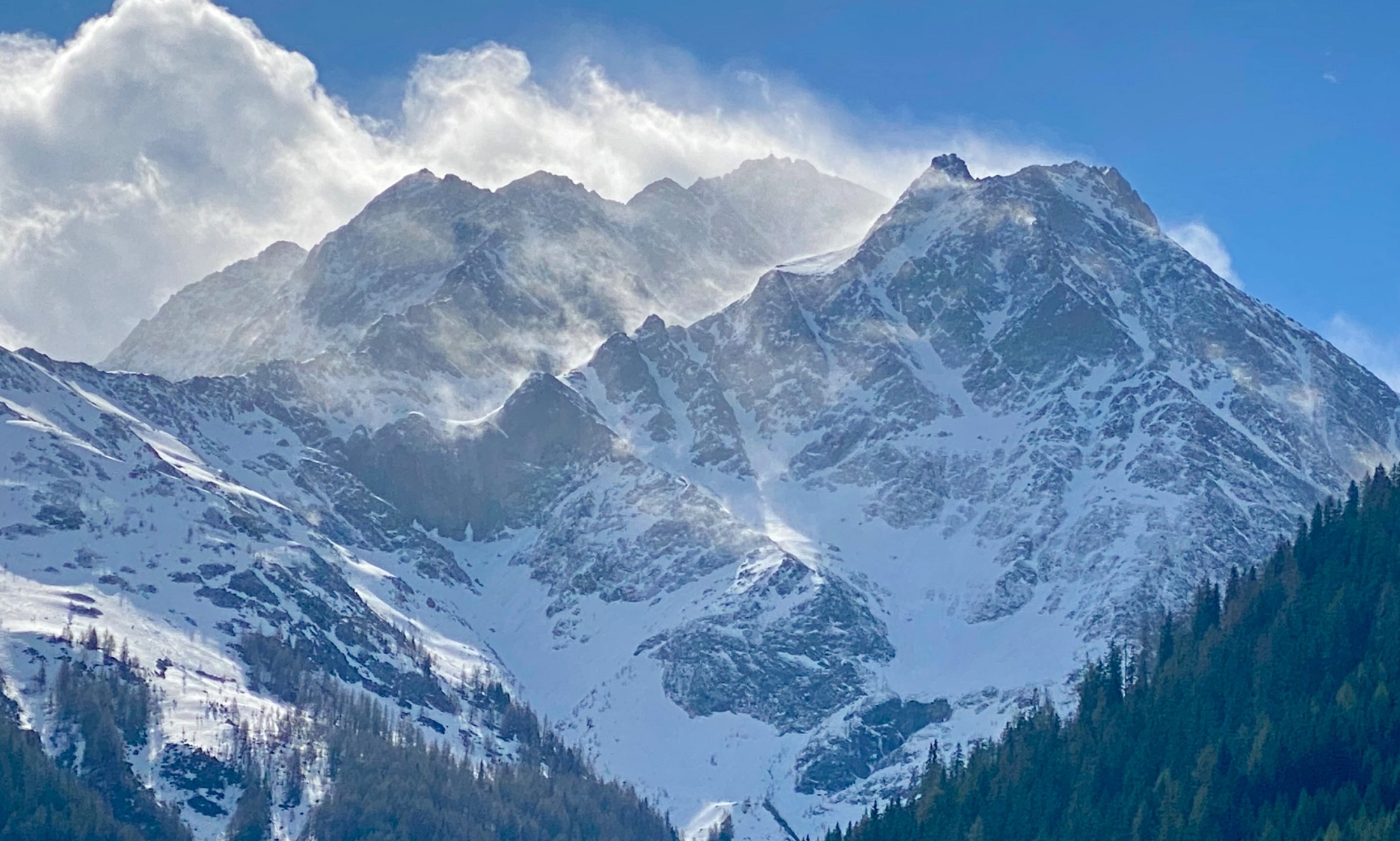
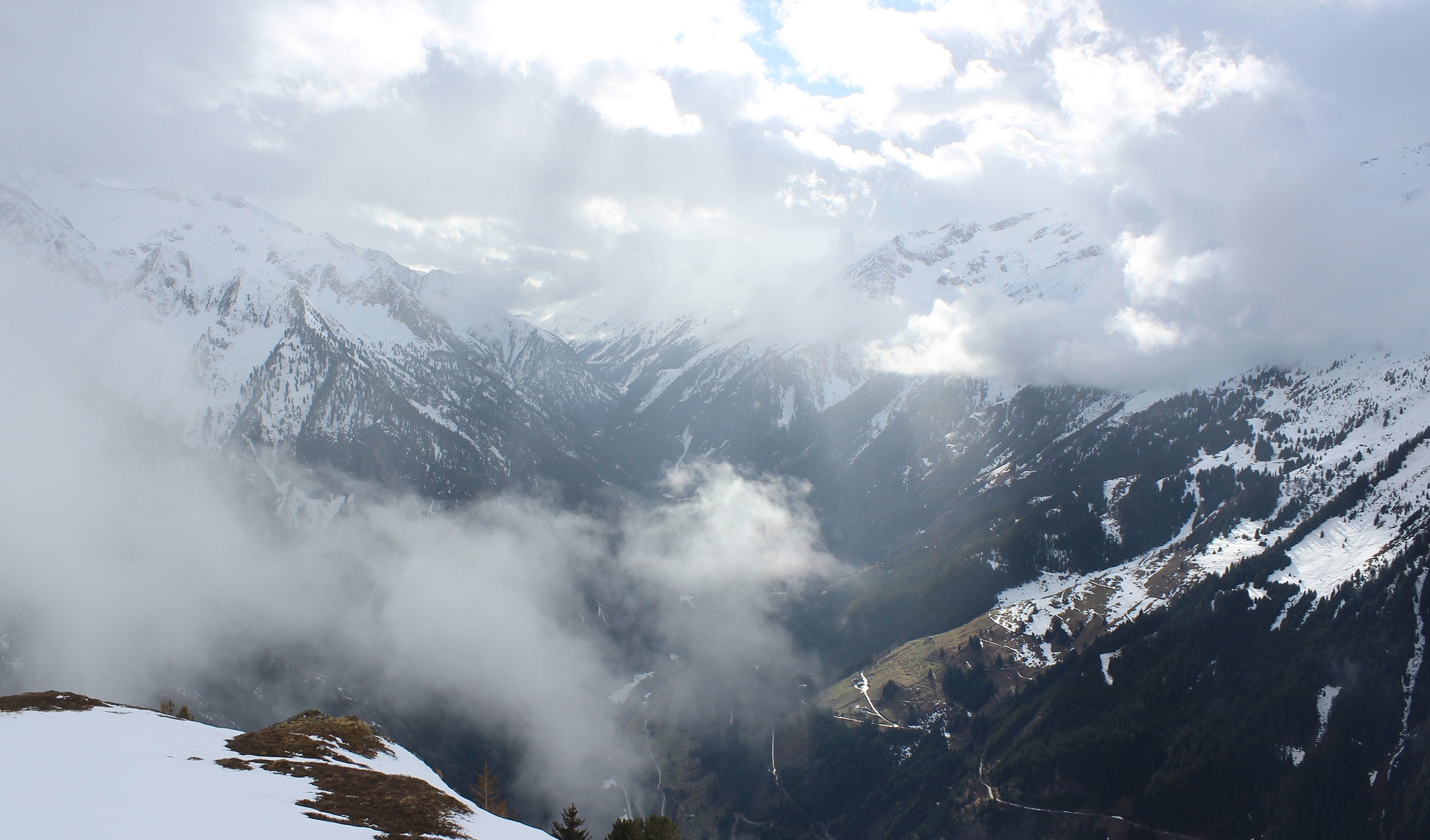
Still wintery in high alpine regions
Some rainfall and weeklong lower temperatures lie before us – in high alpine regions local snowfall is possible. The fresh fallen snow will be deposited mostly on a wet old snowpack. Recent precipitation was shower-like, which generated a marked layer of graupel. This serves as a weak layer. On very steep shady slopes in high alpine…
-
Due to fresh snow, higher weekend danger of natural loose-snow avalanches, isolated danger zones for dry avalanches in high-alpine regions
Starting on Thursday, 02.05, until Saturday, 04.05, some fresh snowfall is expected in the mountains of Tirol. It will be deposited atop a wet snowpack. Due to (diffuse) solar radiation the fresh snow will swiftly moisten, starting on Saturday. In steep rocky terrain in all aspects, numerous naturally triggered small-to-medium avalanches are anticipated which can…
-
Persistent weak layer in places due to “cold on warm” – danger zones difficult to recognize!
In the last Blog we pointed out a potential persistent weak layer based on danger pattern dp.4 “cold on warm.” Further analysis and reports have confirmed this danger. The overall picture is somewhat diffuse. The arc stretches from reports of stable conditions over intensive skiing of very steep terrain all the way to worrisome snow…
-
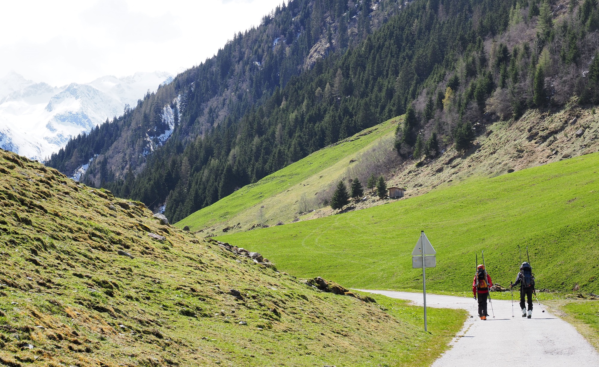
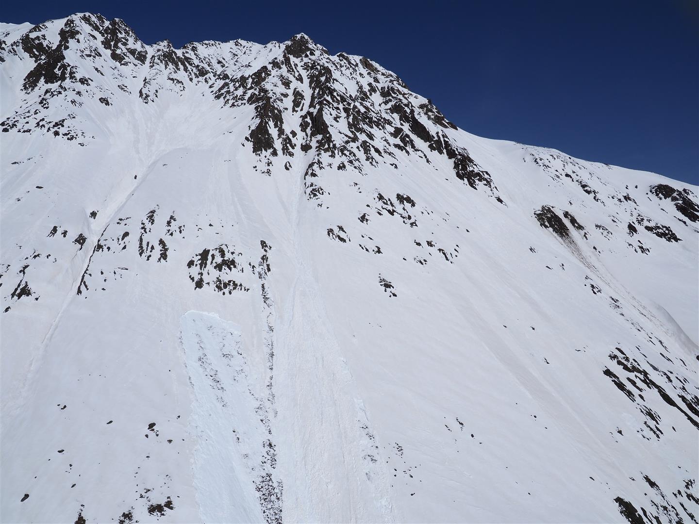
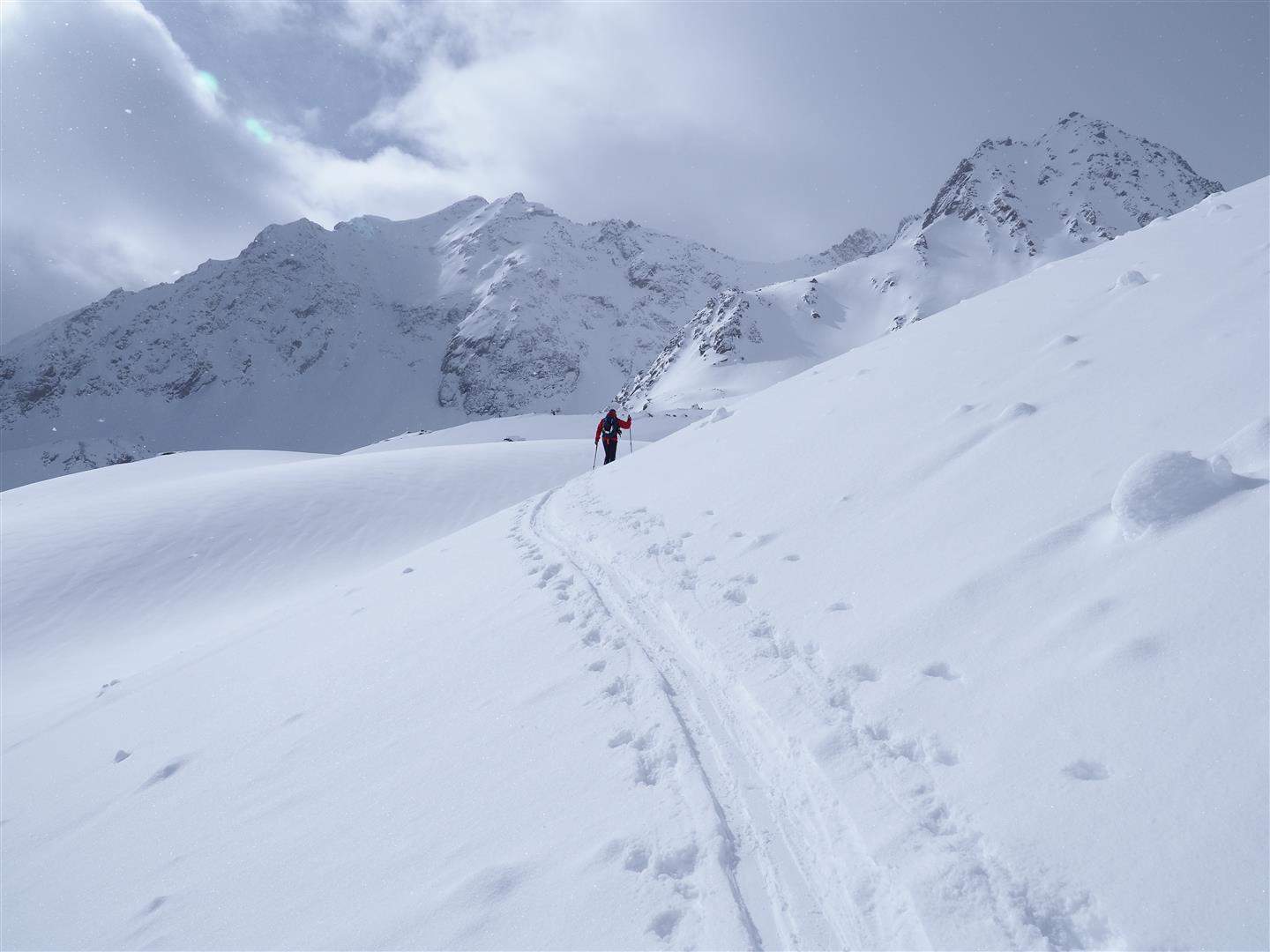
Ample fresh snow in many high-altitude spots. Main problem: loose-snow avalanches
Following a period of early-summer weather lasting until 15.04, the winter has made a comeback: low temperatures, snowfall down to low lying areas and measurably rising snow depths with ascending altitude. Avalanche danger is assessed as moderate, despite ample amounts of fresh snow. Main problem currently: fresh snow problem resulting in increasing loose-snow avalanches in…
-
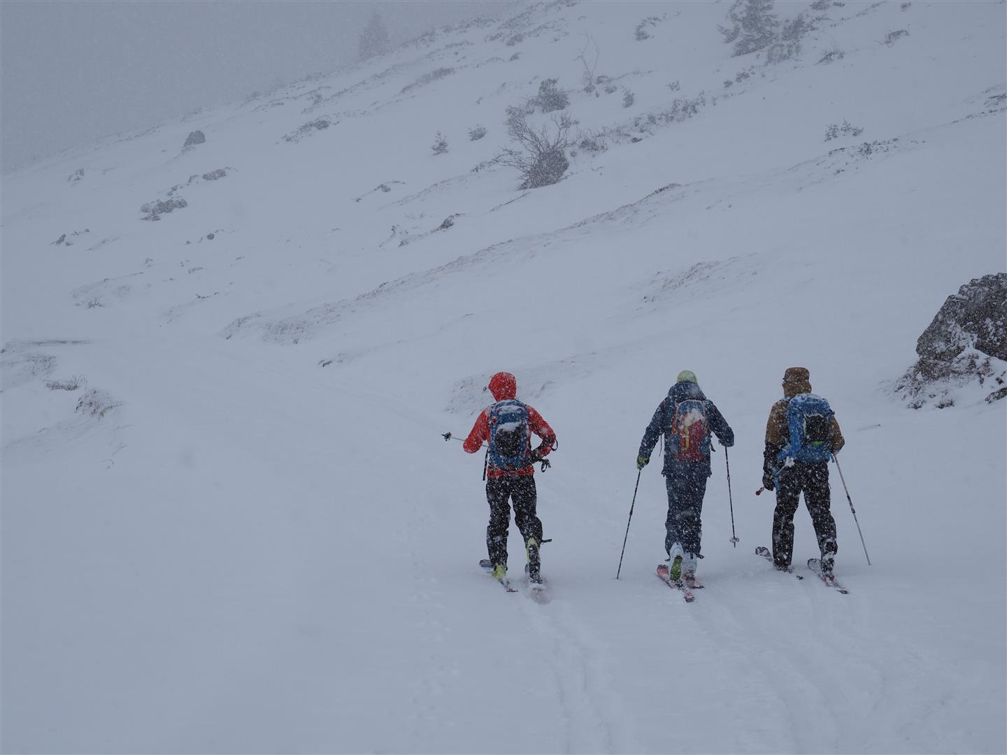
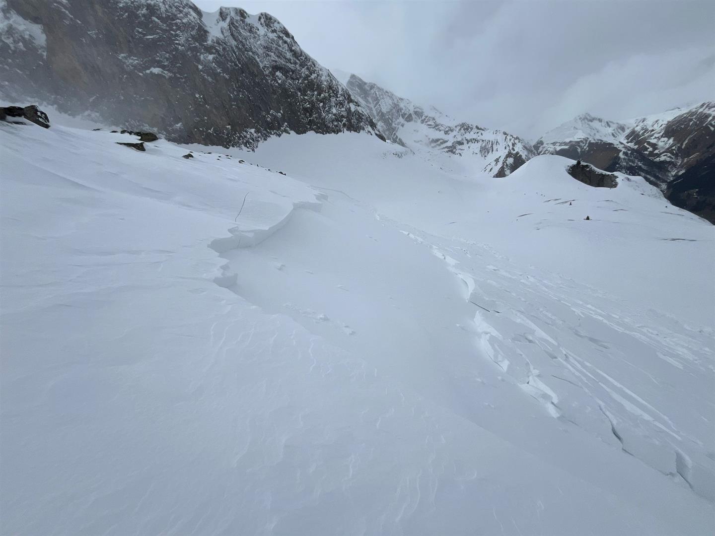
Increasing danger of dry-snow avalanches
Low temperatures, fresh snow and wind are the ingredients of current avalanche danger. Particularly in gullies, bowls and behind discontinuities in the terrain, the freshly-generated trigger-prone snowdrift accumulations are often hard to recognize due to poor visibility. Especially in areas where fresh snow has been heavy, such avalanche prone locations are frequent and far-reaching. Releases…
-
Niedertal avalanche incident incl. outlook for weekend
On 11.04.2024 a group of 21 people were ascending from Vent through Niedertal towards the Martin-Busch-Hütte. Below the Talleitspitze several persons were caught in a naturally triggering wet-snow avalanche. Three persons died in the avalanche, one was injured. Sequence of occurrences A group of 17 people from the Netherlands and 4 locals intended to climb…
-
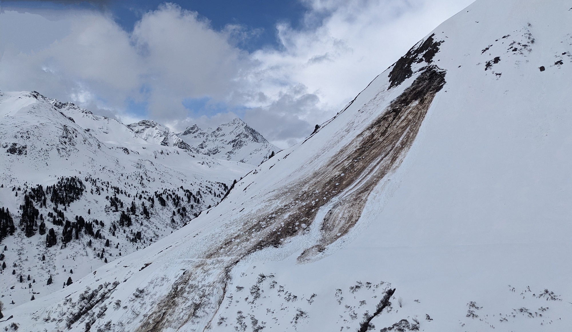
Early summer brings marked increase of wet-snow avalanche danger!
Solar radiation and high temperatures are leading to increased water penetration of the snowpack over coming days. We expect, particularly on east and west-facing slopes, but also on south-facing slopes in high alpine regions, a completely wet snowpack for the first time. And with it, a striking increase of avalanche danger. Numerous naturally triggered wet-snow…
-
Easter holidays full of change / Delicate avalanche situation in some southern regions
Spring is already palpable, in all its facets: deep winter at high altitudes in southern regions. Fresh snow and storm-strength winds have generated (and still do) far-reaching often trigger-prone snowdrift masses. At lower altitudes the snowpack is becoming quite moist/wet and this will continue over the next few days. We expect numerous loose-snow avalanches in…
-
Heightened wet-snow/ gliding snow activity, minor snowdrift problem at high altitudes
Appropriate for the season, strong solar radiation, rainfall and mild temperatures led (and are still leading) to very wet snow below 2400 m, thus weakening the snowpack. Increasing wet-snow / gliding snow activity is the result. Freshly generated snowdrifts are generally small, but on high-altitude shady slopes prone to triggering. On Saturday, a very sunny…
-
Capricious: weather, snowpack, avalanches
Last week was marked by highly variable weather. Focus of precipitation was the southern regions. Slab avalanches were triggered in near-surface layers. Numerous loose-snow avalanches released because of the higher temperatures and diffuse light immediately after the snowfall. Glide-snow avalanches were more frequent. Snow quality was low. At high altitudes there was (for a brief…