Category: Current situation
-
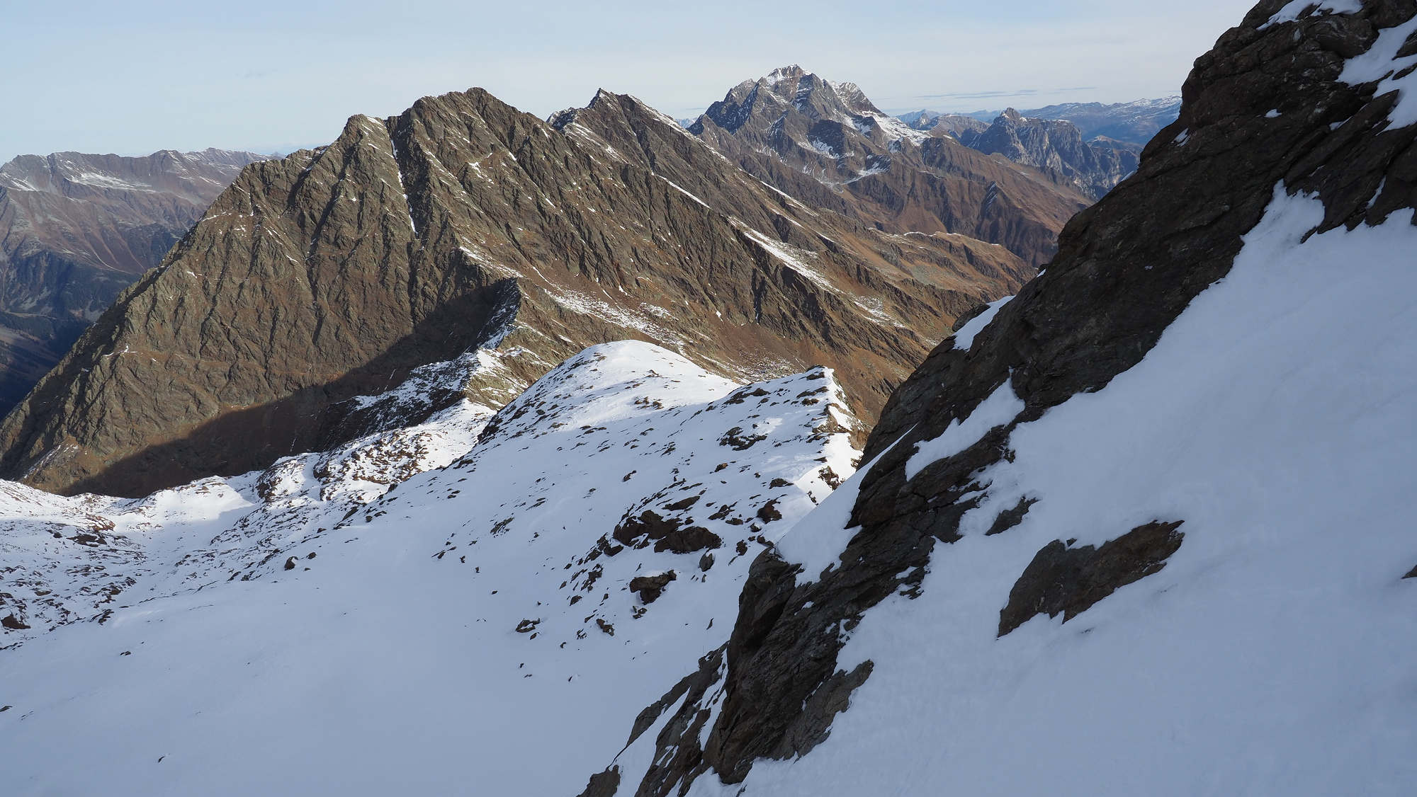
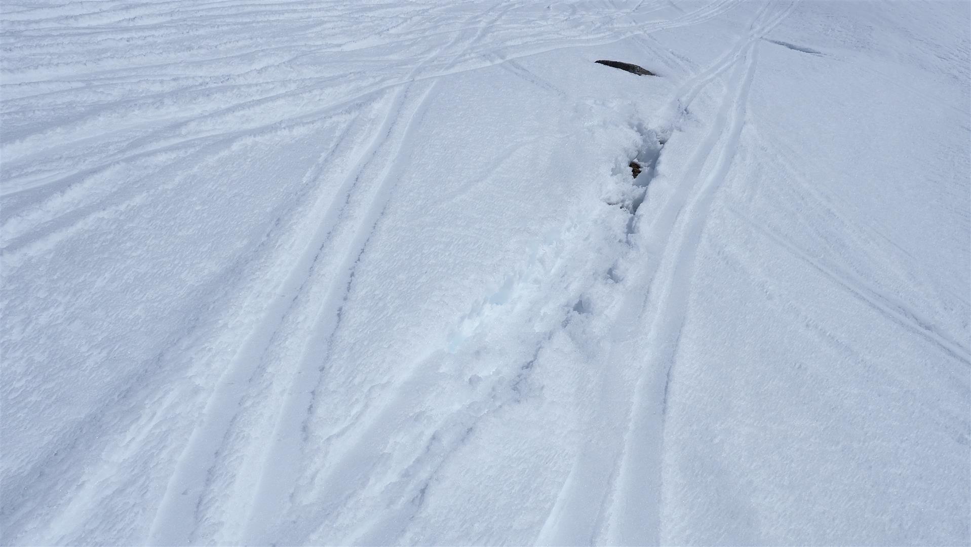
Caution: fresh snowdrifts esp. on shady slopes at great heights
Some fresh fallen snow and intermittent strong-velocity northerly winds particularly along the Main Alpine Ridge are leading to freshly generated snowdrift masses. These masses are prone to triggering in places, especially in protected bowls and basins at great heights and in glaciated terrain. As a result of fine weather in coming days, avalanche prone locations…
-
Review of first onset of winter this season
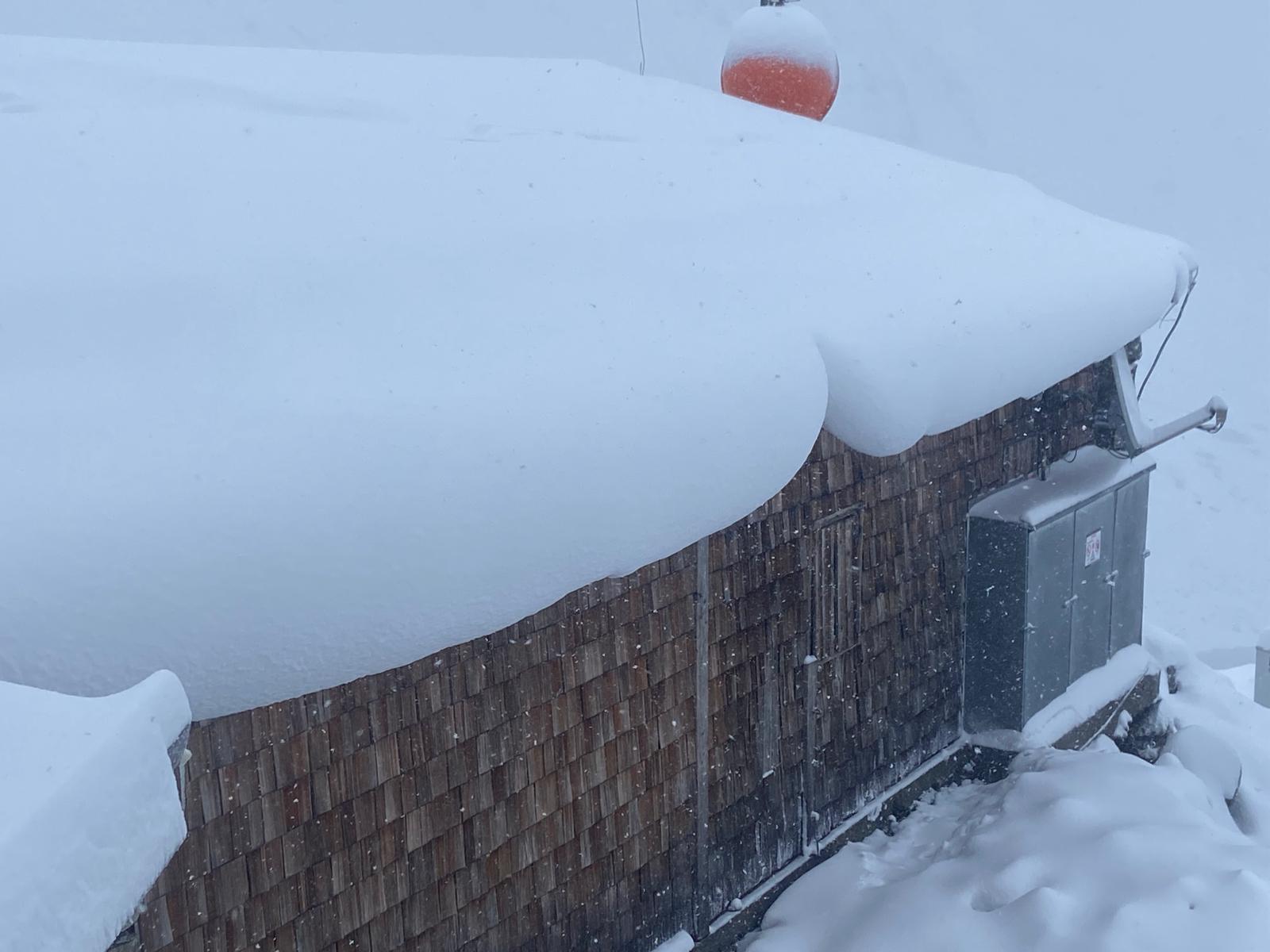
As was forecast, it snowed as much as 50cm in the western regions, locally even more, on Monday, 27.10. For a brief spell, you even had to watch out for slab, glide-snow and loose-snow avalanches. The higher temperatures which followed in its wake provided a swift decrease in avalanche danger and rapid melting of the…
-
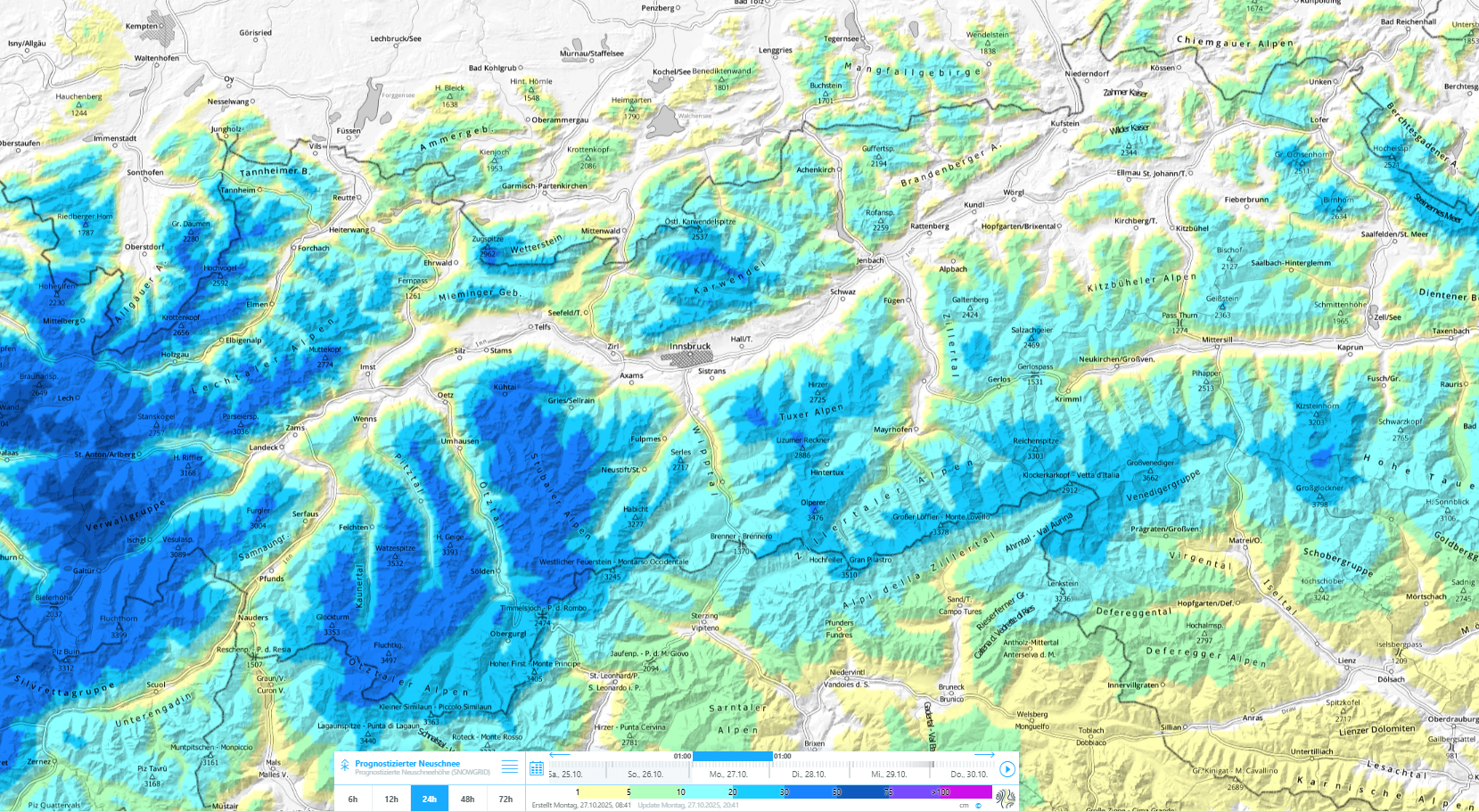
Lots of fresh snow regionally plus storm-strength winds: avalanche danger rising significantly esp. in western North Tirol
Intensive snowfall and winds will cause avalanche danger to rise significantly in Tirol starting on Monday 27.10. Particularly in the regions with most snowfall, naturally triggered dry-snow small-to-medium sized avalanches can be expected. Higher temperatures and solar radiation will lead to heightened activity of moist loose-snow avalanches in steep rocky terrain. As the snow settles,…
-
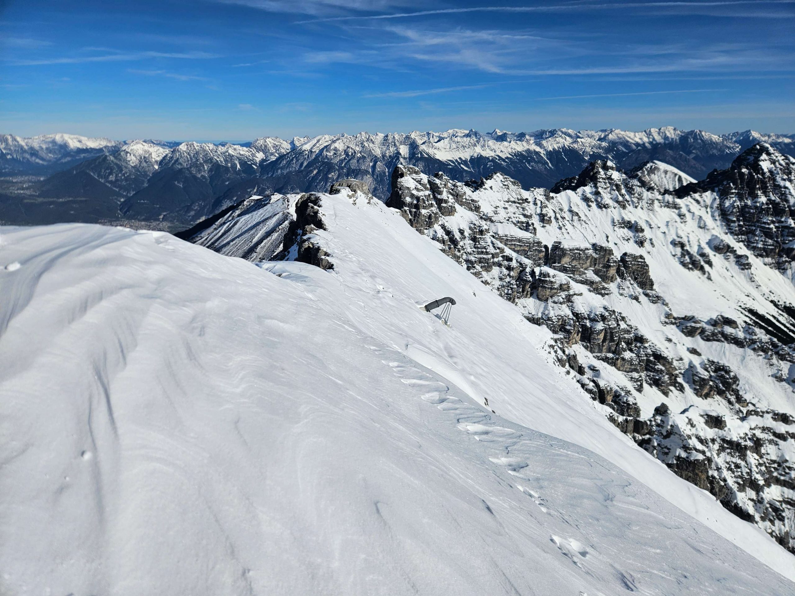
Wintertime conditions in the mountains – potential avalanche danger for a brief spell
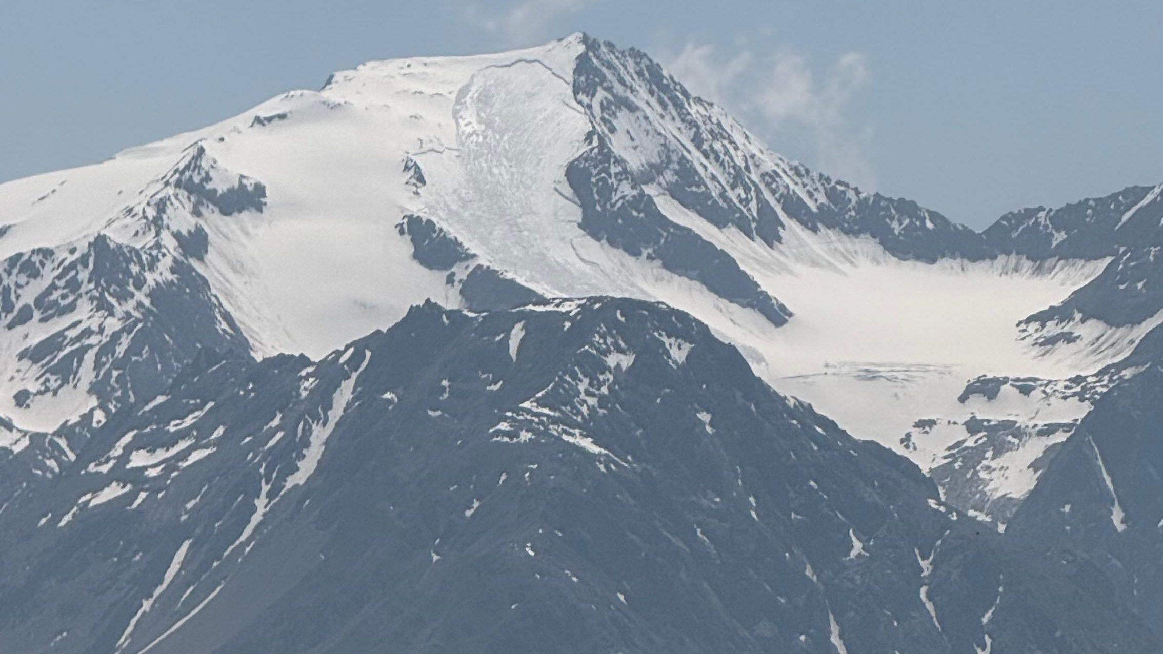
There has been significant snowfall in recent days particularly in the Zillertal Alps and Hohe Tauern: 30-80cm of fresh fallen snow has been registered at about 2800m since Monday evening, 07.07, most of which fell in the Venediger Massif. Strong velocity northerly winds transported the fresh snow far-reachingly. Freshly generated snowdrift accumulations can be prone…
-
Year’s first heat wave makes weak, deep high-alpine layers thoroughly moist
With the year’s first heat wave, the last deep-lying weak layers on north-facing high-alpine slopes are being thoroughly moistened for the first time. This significant wetness is leading to naturally triggered, wet-snow avalanche activity. Whoever is en route in the high Alps needs to terminate their tour early in the day. Naturally triggered wet slab…
-
Main danger: still wet snow – weather shifting on weekend
The main danger of avalanches still stems from the wet-snow problem, quite in step with the season. Due to outgoing longwave radiation and consolidation of the snowpack during nocturnal hours followed by higher daytime temperatures and solar radiation, avalanches are subject to a daytime danger cycle. Over the next few days, air will become gradually…
-
Slight snowdrift problem + wet-snow problem amid typical April weather
Last week was marked by variable April weather conditions, avalanche danger considerable regionally at the start then moderate then low. Wet-snow and snowdrifts were the prevalent problems. Two avalanche incidents involving persons occurred: on 20.04 two persons below the Liebenerspitze in the Gurgler Massif were caught in a slab avalanche. On 19.04 the snow melted…
-
Heavy precipitation in the south, large amounts of fresh snow regionally at high altitudes
Since Wednesday evening 16.04, 40-80mm of precipitation was registered on the Main Alpine Ridge and in East Tirol. Snowfall level initially sank only slowly from 2800m, but large amounts of snow fell at high altitudes. Amid often stormy winds, widespread snowdrift accumulations were generated which at least will be easy to trigger on Friday. In…
-
Favorable avalanche conditions give way to increased wet-snow problems
Last week avalanche dangers began to increase due to a thoroughly wet snowpack. A marked drop in temperatures and dry air masses led to a very favorable avalanche situation with low danger. Now the overall weather front is changing again: it’s getting warmer and successively wetter. Wet-snow problems are again coming to the forefront. Review…
-
Receding danger of dry-snow avalanches – Daytime cycle of wet-snow problem
Due to mild temperatures the snowpack has settled and consolidated in the last few days. Danger zones for dry-snow slab avalanches now occur only in isolated places. Due to mild temperatures and solar radiation, danger of wet-snow avalanches fluctuates in a daytime cycle. The current high-pressure front is expected to last beyond the weekend. Isolated…