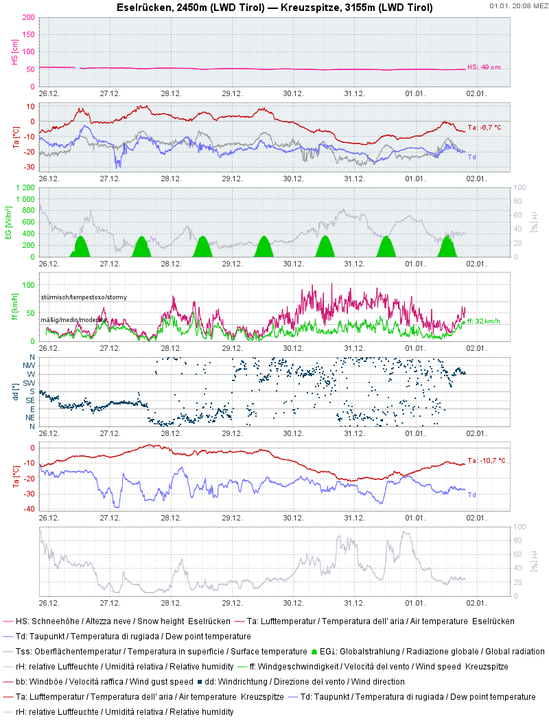
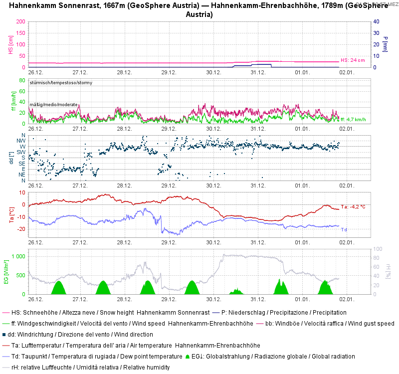
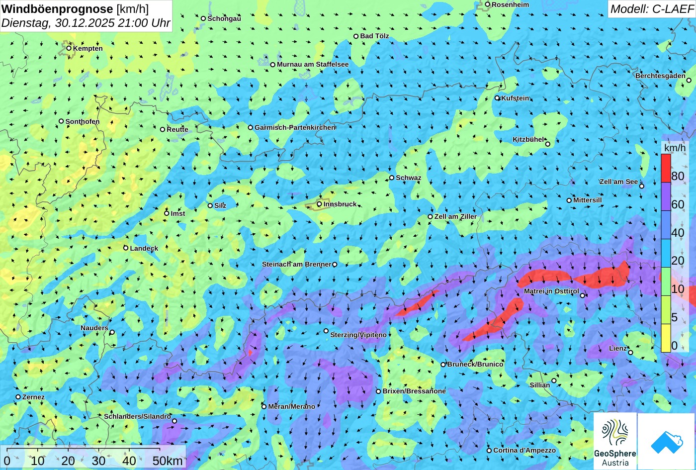
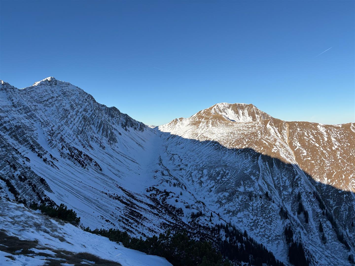
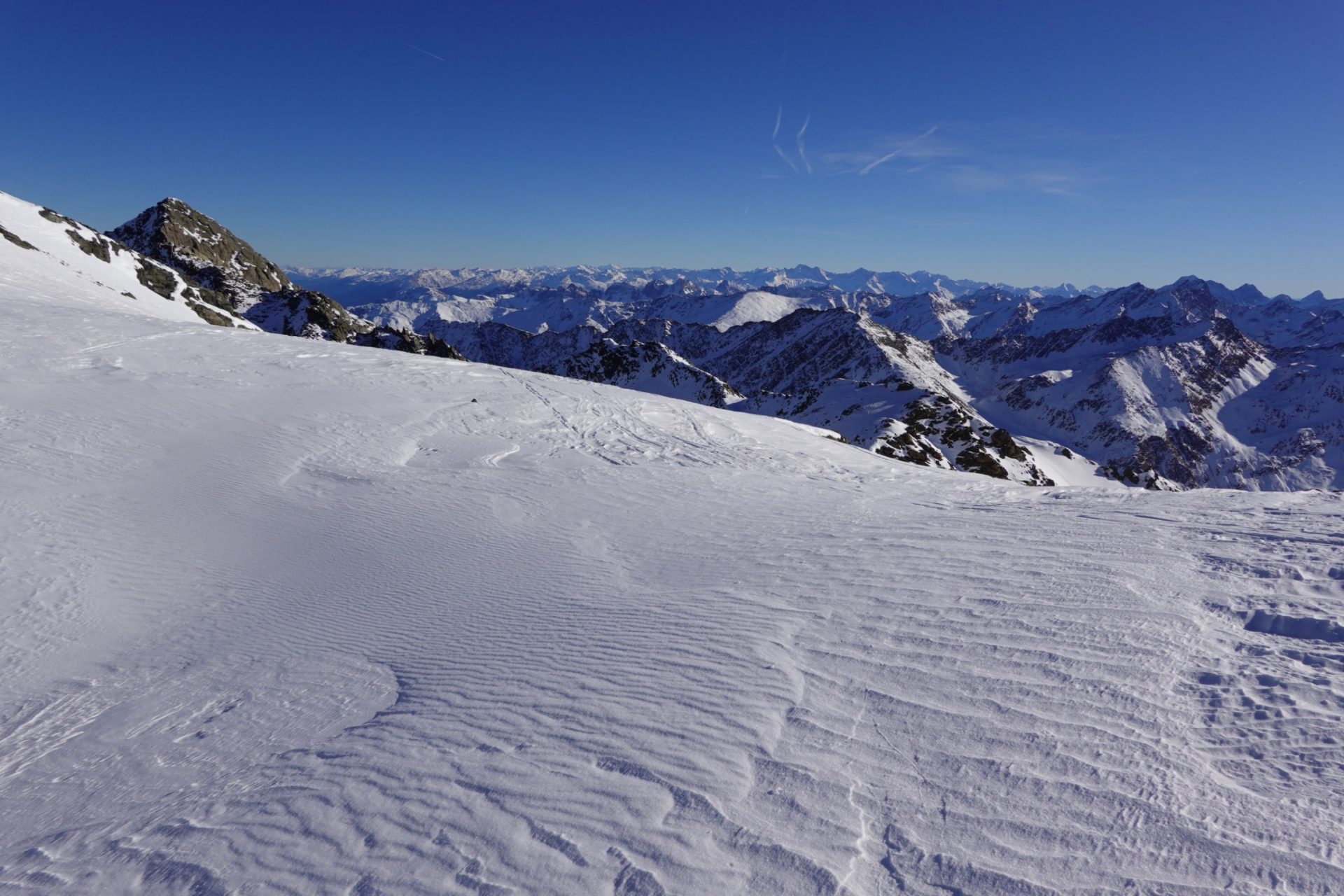
High-pressure weather conditions prevailed last week, skies turning gray only briefly and little precipitation from region to region. But strong-to-storm strength winds, particularly along the Main Alpine Ridge, generated fresh, generally small snowdrift accumulations. The main danger for winter sports enthusiasts stems from these drifted masses, which are easy to recognize. Due to lack of snow, we are still confronted with poor conditions for backcountry skiing tours.
Not many places where avalanches can be triggered
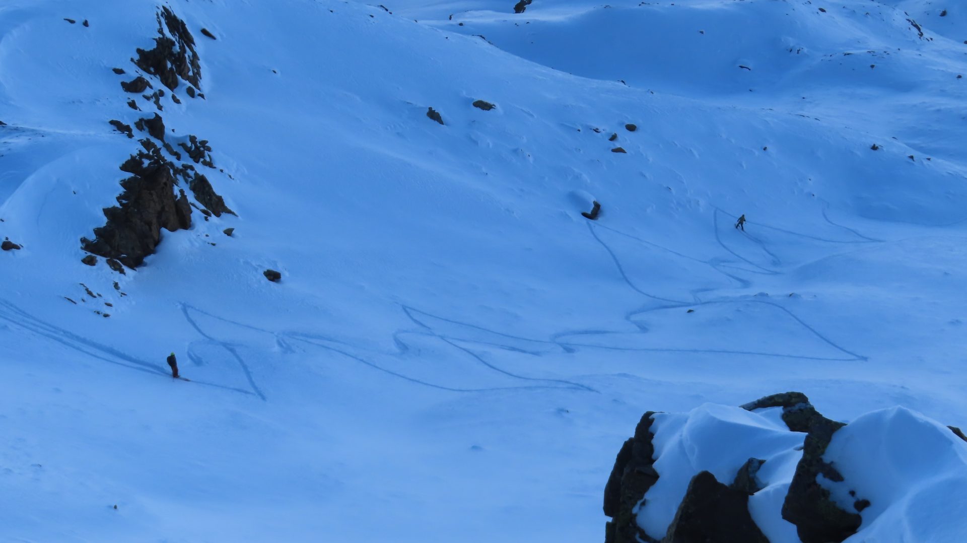
Currently we’re aware of only very few avalanche releases in Tirol. This is primarily the result of the favorable avalanche situation. We fluctuate from Danger Level 1 (“low”) and 2 (“moderate”). The major problem comes from the small-sized snowdrift accumulations which were generated last week by winds which often reached storm strength. Below, see a few impressions from last week, including one unusual avalanche release on the closed Streif descent above Kitzbühel which had nothing whatsoever to do with the forementioned snowdrifts.
Artificial-snow avalanche(s)
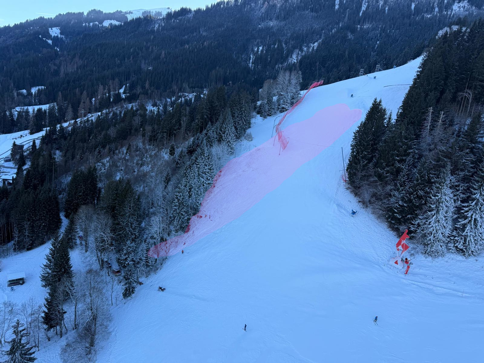
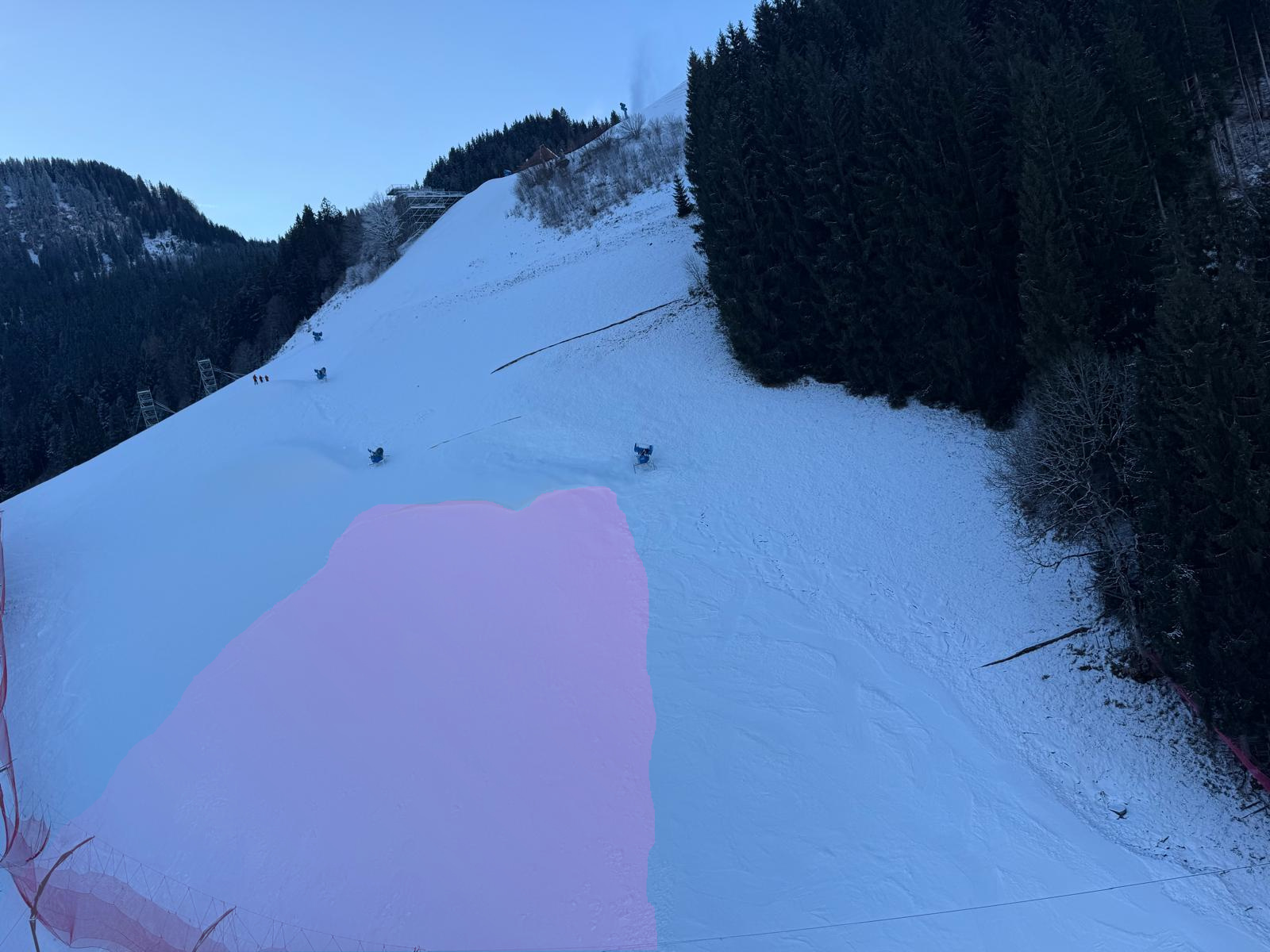
This was an artificial-snow avalanche. The mechanism which triggered it was a slab avalanche. Artificial snow was deposited on top of a weak layer that had previously formed. When 3 persons entered this officially prohibited ski run area, the avalanche triggered. All 3 persons were swept along, one person suffered grave injuries through being smashed against a tree, another person had slight injuries, the third person had no injuries.
Artificial-snow avalanches are always a rare occurrence, but have increased in number over the last few years. The triggering mechanism varies between artificial-snow avalanches which release as slab avalanches and those which slide over steep grass-covered slopes as glide-snow avalanches. This winter we’re aware of 4 such artificial-snow avalanches, one on 06.12.2025 on Leppleskofel in East Tirol (see blog), one on 21.12.20025 on a (closed) ski run in the Zell am Ziller ski area and one on 26.12 on Gaisberg near Obergurgl (which was partly artificial snow and released adjacent to a ski run). The last three releases did not involve persons.
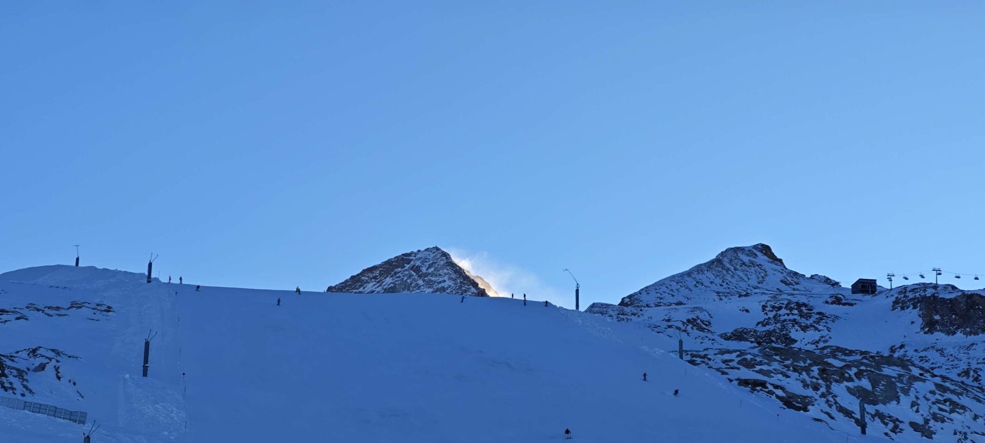
Fresh drifts are the main danger
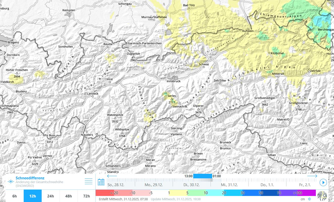
What left its stamp last week was the frequently strong northerly wind. In spite of that, snowdrift accumulations were not automatically generated in the wind-impacted regions, since there was not always transportable snow on the ground. The potential of drifts tended to increase incrementally from north to south, especially due to snowfall on 24.12.20025.
Last week’s weather in summary
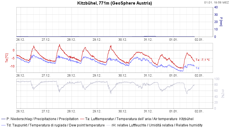
Mostly high-pressure weather conditions. Increasingly strong winds in the mountains. In the north and northeast some fresh snow. Temperatures plummeted before New Year’s Day. In some regions a veritable temperature inversion.
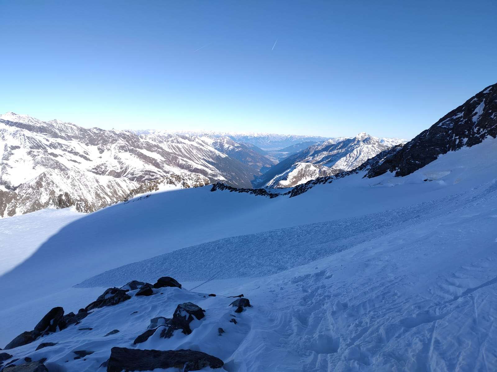
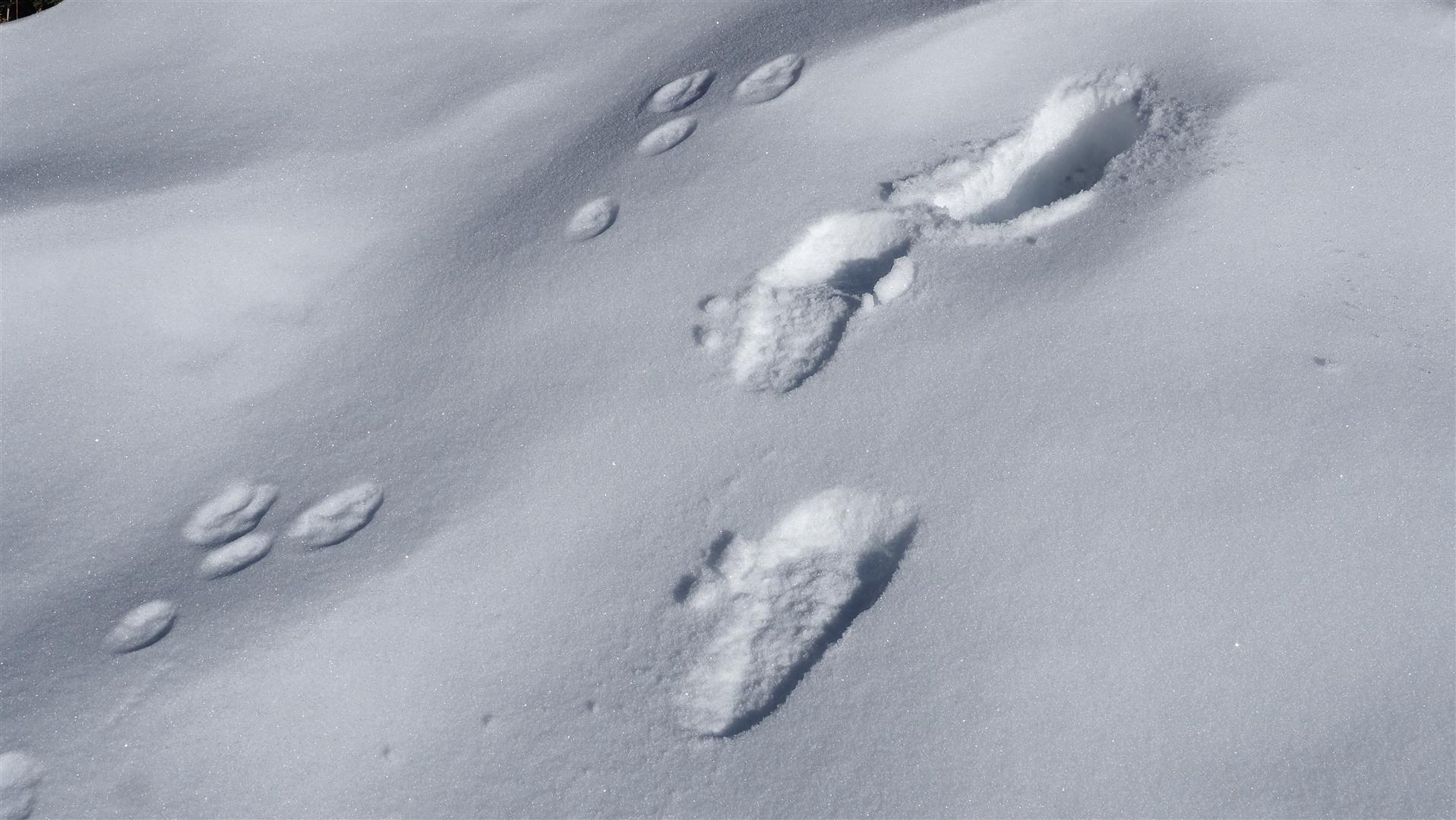
Lack of snow – danger of “sharks” – risk of falling on a hard surface
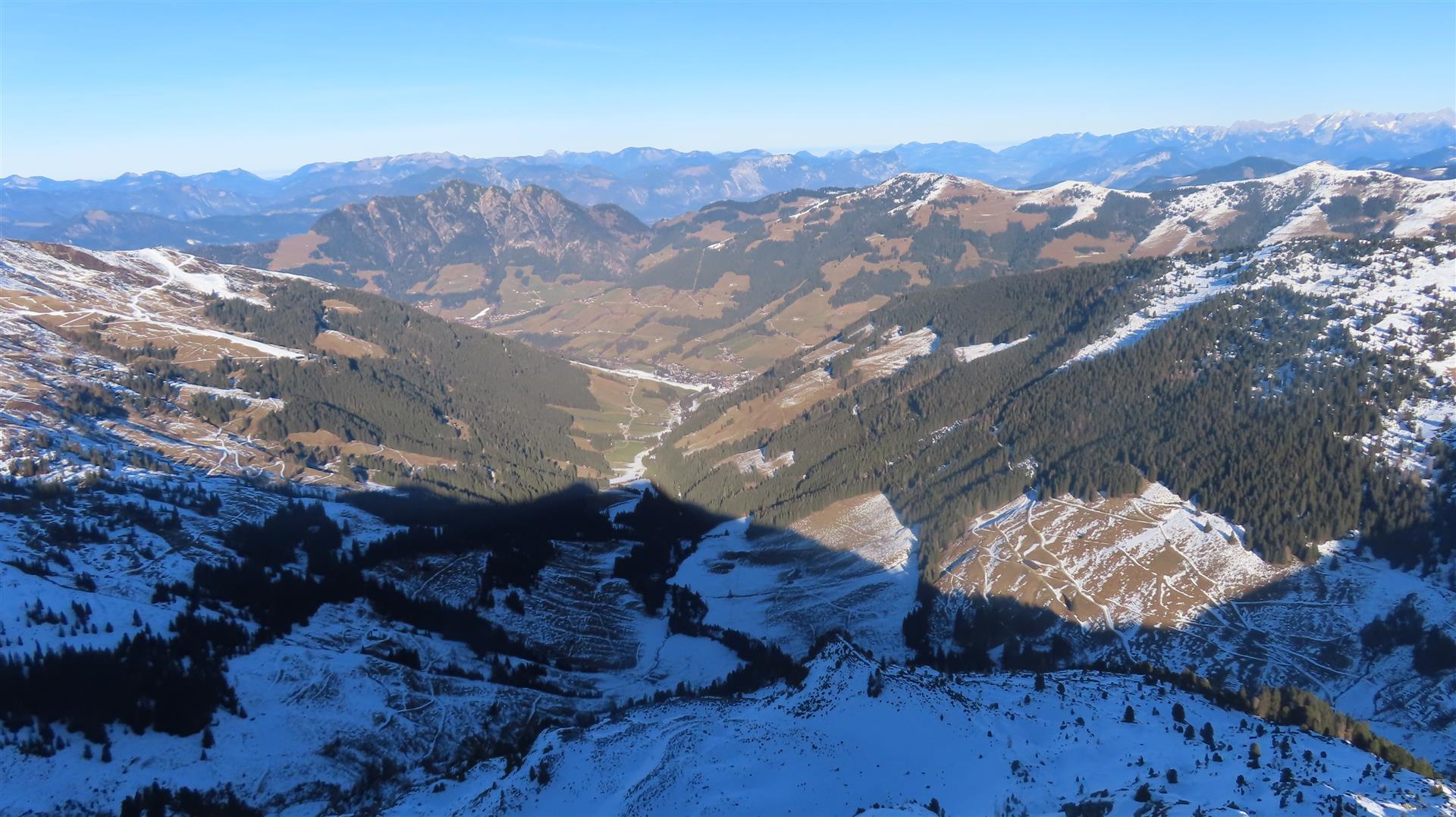
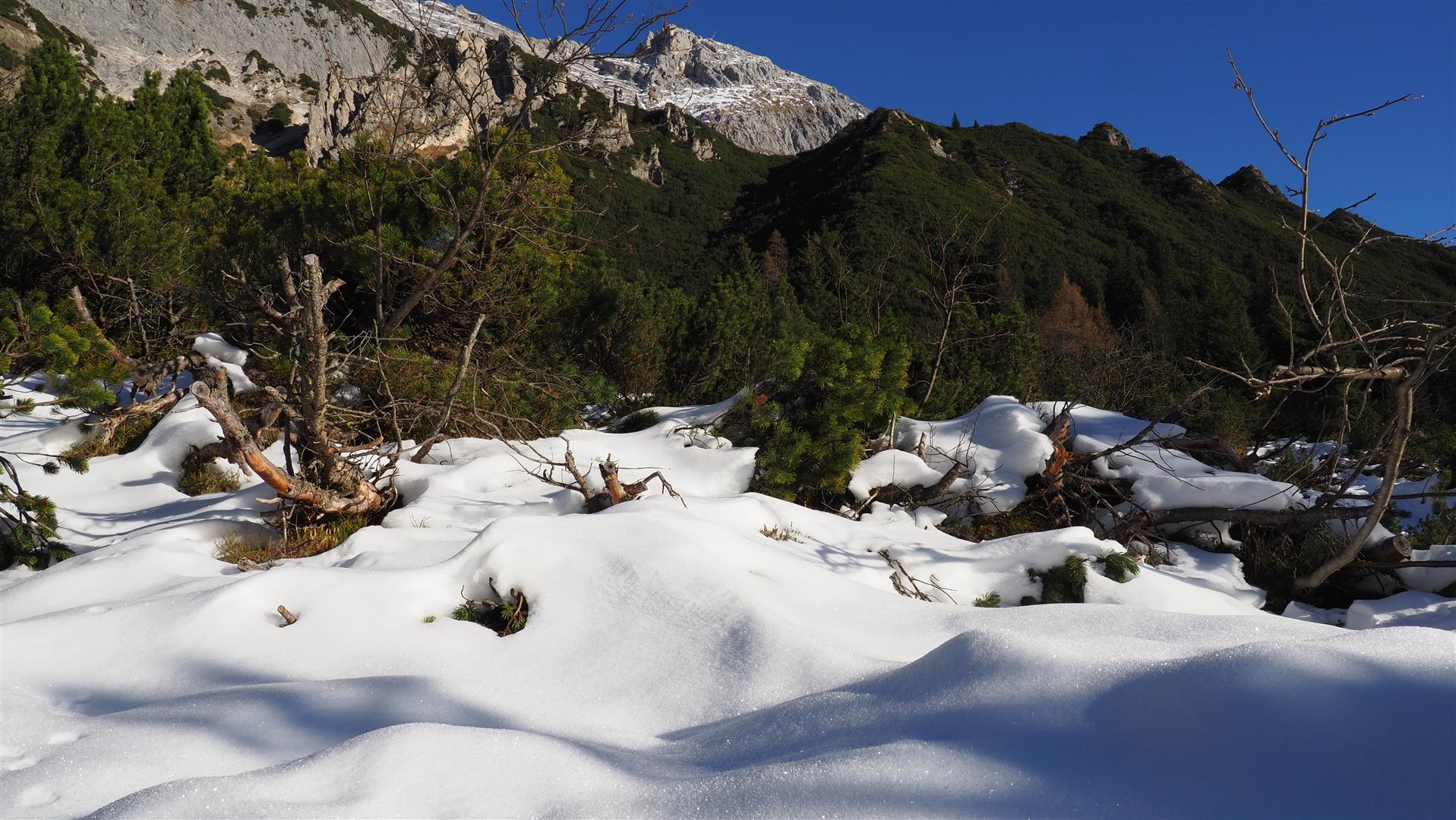
According to Geosphere Austria (GSA), this was one of the 15 snow-poorest Decembers in the history of taking measurements. In the mountains it was the second-warmest December in measurement history, with lots of sunshine. The upshot for the snow cover: we are faced with severely below-average snow depths for this juncture of the season. As an expected consequence of this, the peril of “sharks” – only slightly veiled rocks beneath the snow – is heightened to a serious degree. Moreover, increasingly frequent accidents occur to backcountry tourers who slide away atop the hardened snowpack surface. This occurs especially often in sunny, very steep terrain at high altitudes.
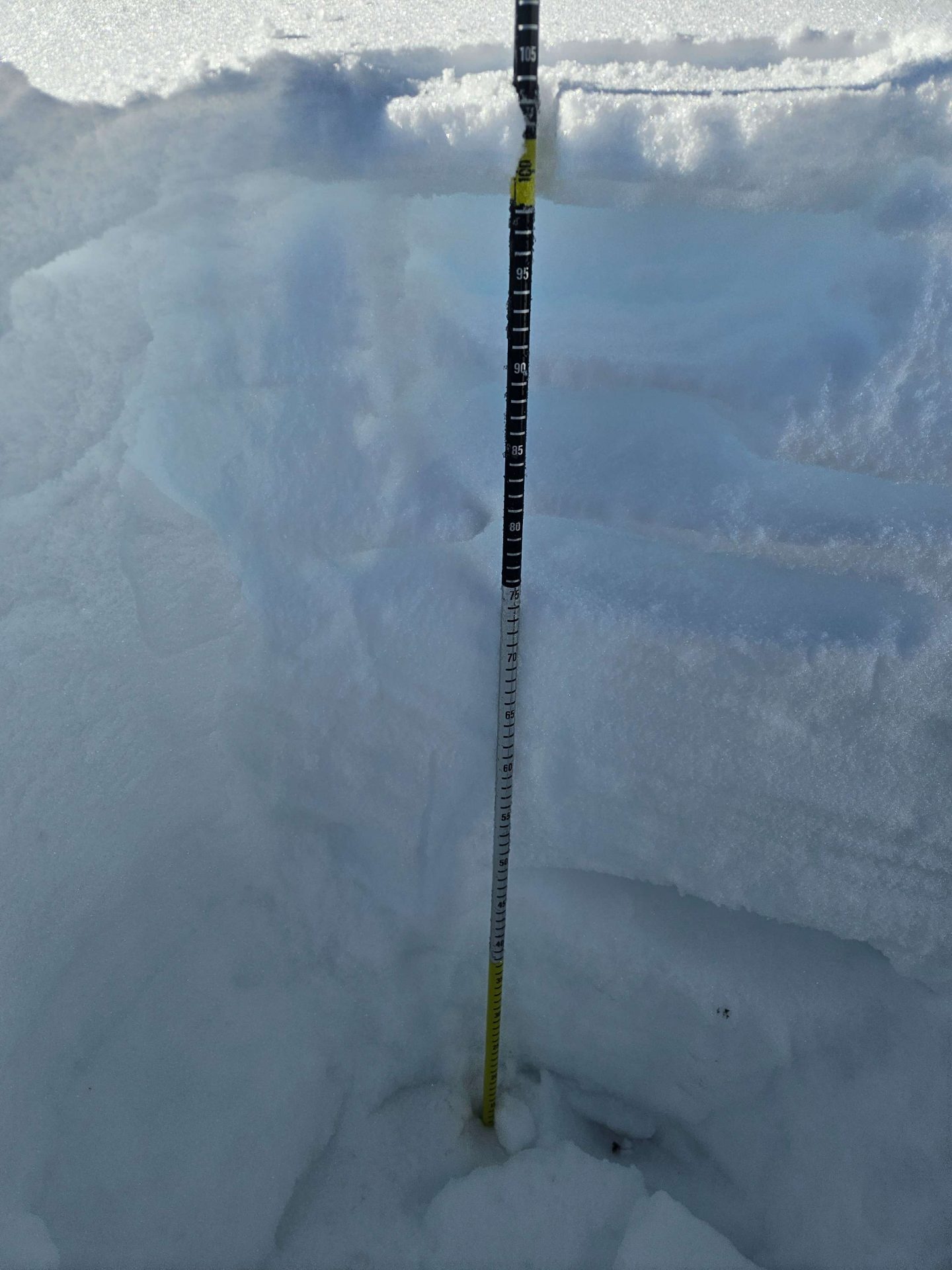
The Snowpack
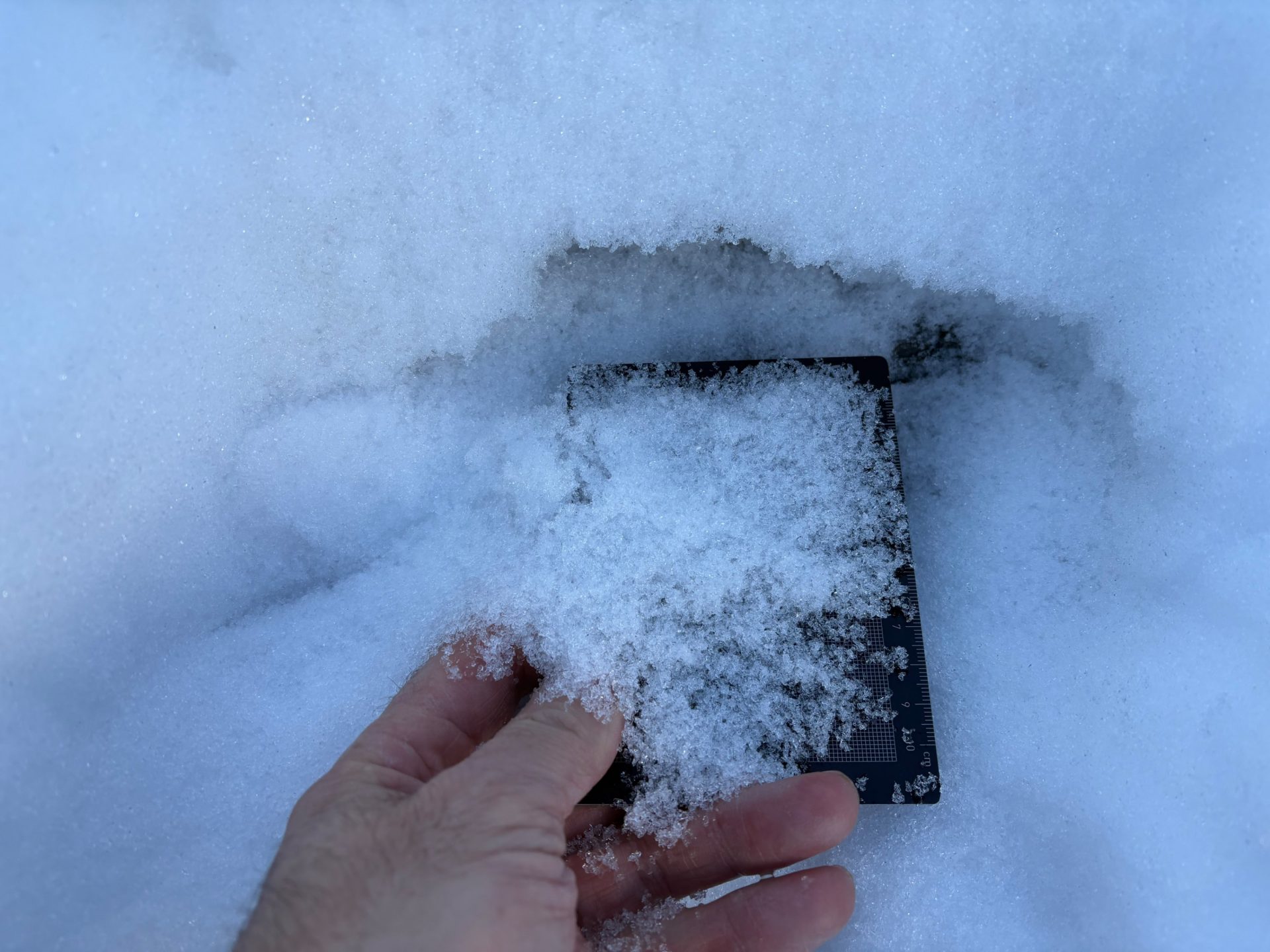
The expansive metamorphosis of the snow during the recent phase of fine weather continued. The snowpack base thus consists increasingly of faceted crystals, in some cases of rotten snow. Frequently there occurs a sequence of thin crusts buried inside the snowpack. The last of these are now metamorphosing and sometimes disappearing altogether or, at least, becoming ever thinner. On very steep, sunny slopes there are in some places also extremely hard snowpack surfaces, this is increasingly the case in wind-impacted places at high altitudes. In some spots, the snowpack is forming surface hoar again on the surface, frequently in concavities of the landscape.
Outlook
According to Geosphere Austria (GSA), tomorrow (Friday, 2 January), will bring us “extremely inhospitable weather conditions in the mountains: skies turning increasingly gray during the morning, the summits disappearing in clouds in places. In the afternoon along the northern Kalkalpen, light snowfall is expected to set in. Over East Tirol, cloud cover is also moving in, the light will become increasingly diffuse. On top of that, a strong-to-storm strength westerly wind will be blowing, heightening the subjective feeling of cold another notch. On Saturday, the last snow showers will taper off rapidly in early morning, thereafter it will turn sunny throughout Tirol.”
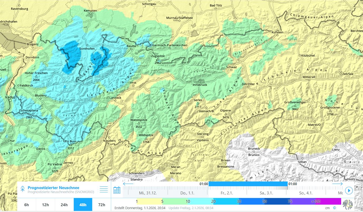
For that reason, heightened attentiveness towards the often very prone-to-triggering freshly generated snowdrift accumulations is imperative in the regions where precipitation is heaviest. Danger zones occur most frequently on shady slopes, but due to the prevailing wind direction also on steep east-facing slopes. The snowdrift accumulations are usually deposited on top of a weak, increasingly unbonded snowpack, sometimes atop crust sandwiches, i.e. on top of a snowpack with a sequence of crusts and loosely-packed faceted crystals.