
Avalanche danger has receded over the course of the week. Moderate danger still prevails above 2400m from region to region in North Tirol, otherwise the danger level is low. Caution still urged especially on very steep shady slopes at high altitudes.
Only few avalanche prone locations, lots of spots lacking much snow
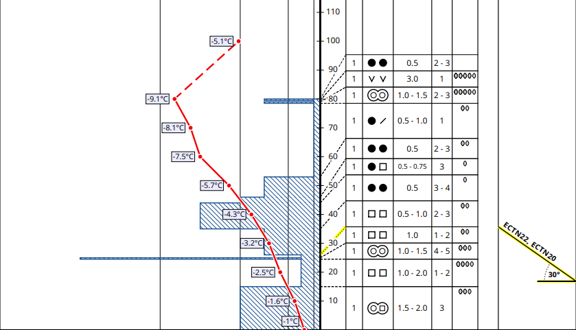
The Snowpack
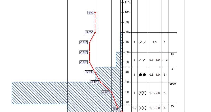
A persistent weak layer problem (seldom triggerable) is currently the major peril. Avalanche prone locations are found mostly in those regions with the most snow on the ground north of the Main Alpine Ridge. In isolated cases there, weak layers of faceted crystals (bordering on melt-freeze crusts) could break away beneath the weight of winter sports enthusiasts and thereby unleash a slab avalanche. The necessary combination of weak layer and slab lodged on top of it no longer occurs so frequently, the slab tends to be more loosely packed, the bonding of the crystals inside the weak layer is stronger. Danger zones occur predominantly on very steep north-facing slopes above 2400m (in very isolated cases also on west and east-facing slopes at higher altitudes). Caution is urged particularly in terrain near ridges, in gullies and in bowls.
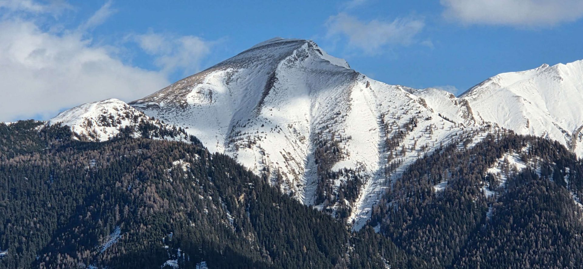
Comparatively the least favorable situation is still in high alpine regions in glaciated, shady terrain, where avalanches that unleash tend to be larger sized.
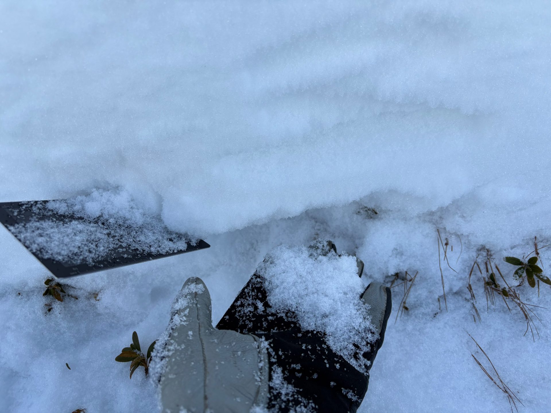
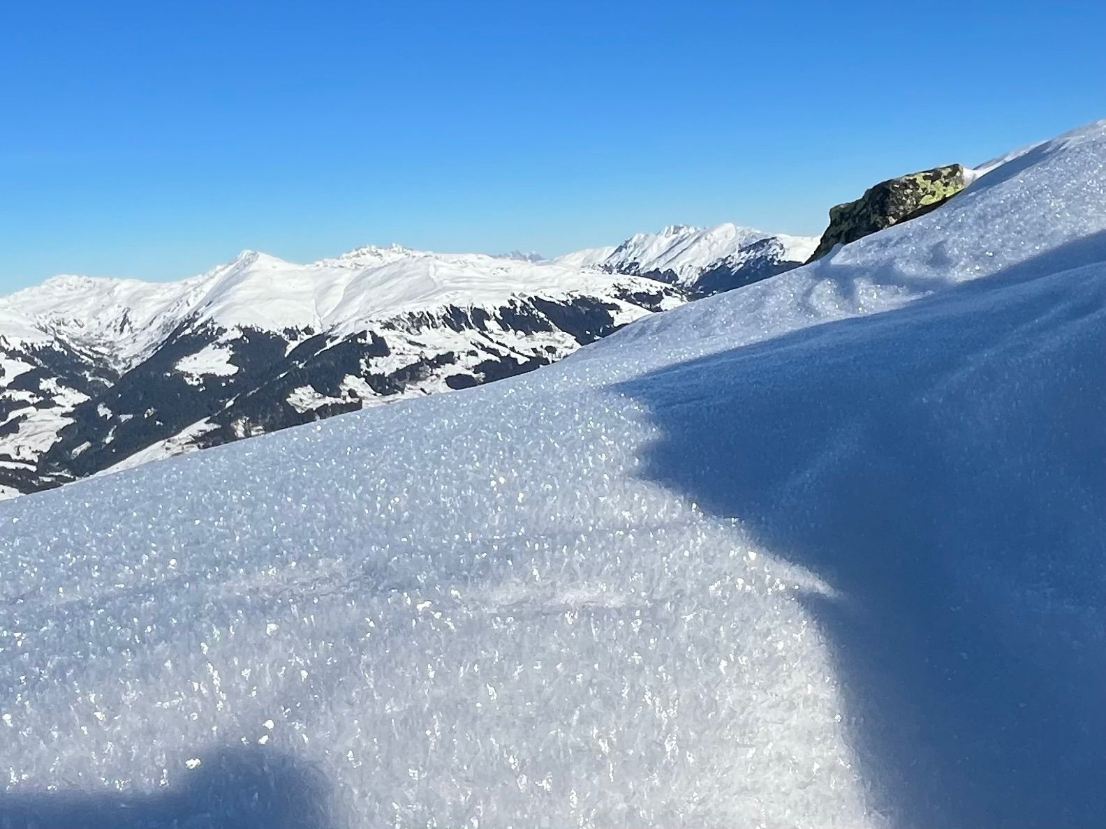
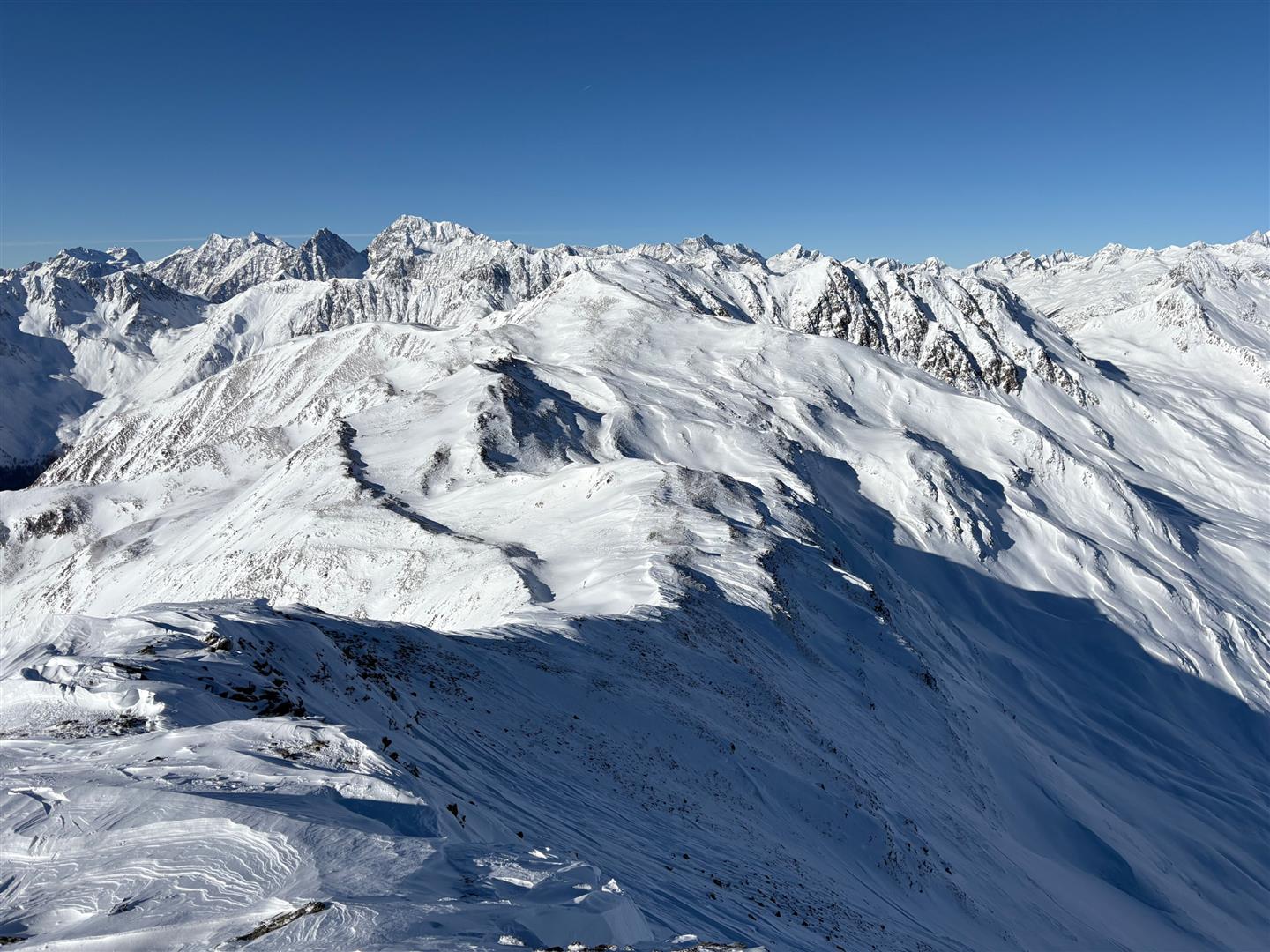
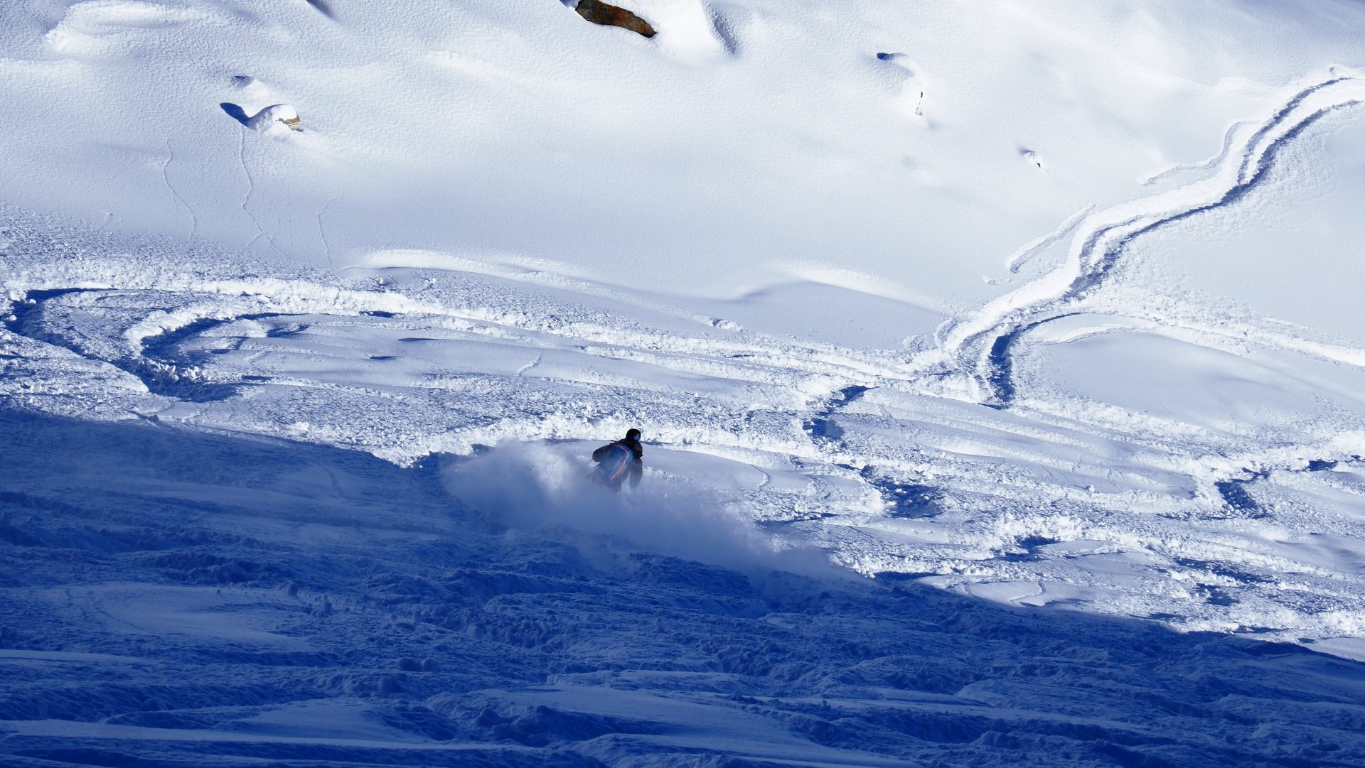
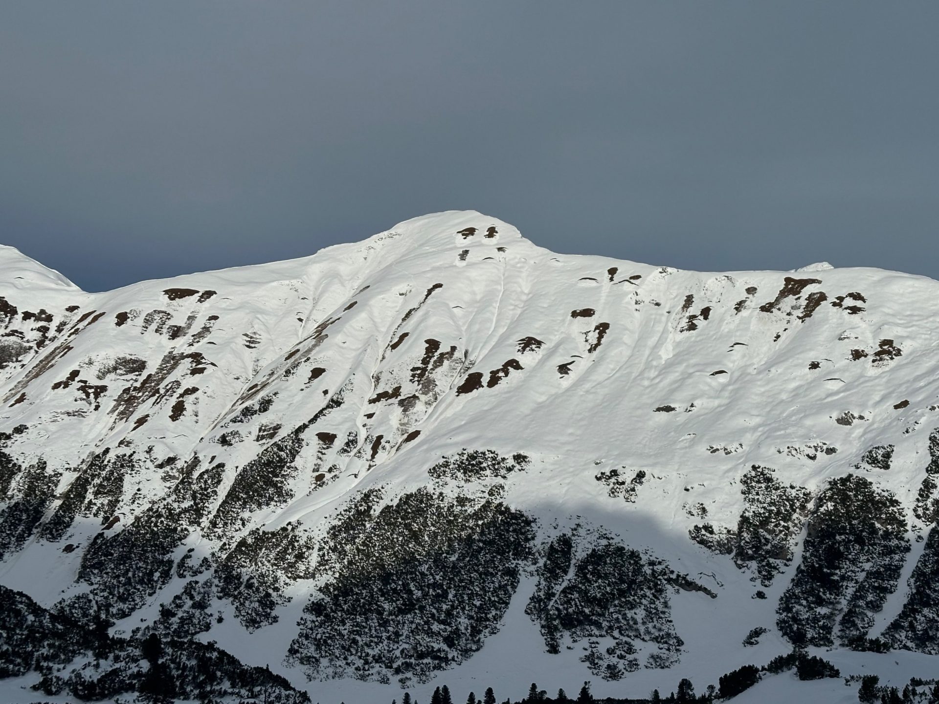
Stable snowpack on steep (38°) west-facing slope at 2300m on the Hafelekar (western Karwendel) above Innsbruck (© Leo Schneider, 01.12.2025)
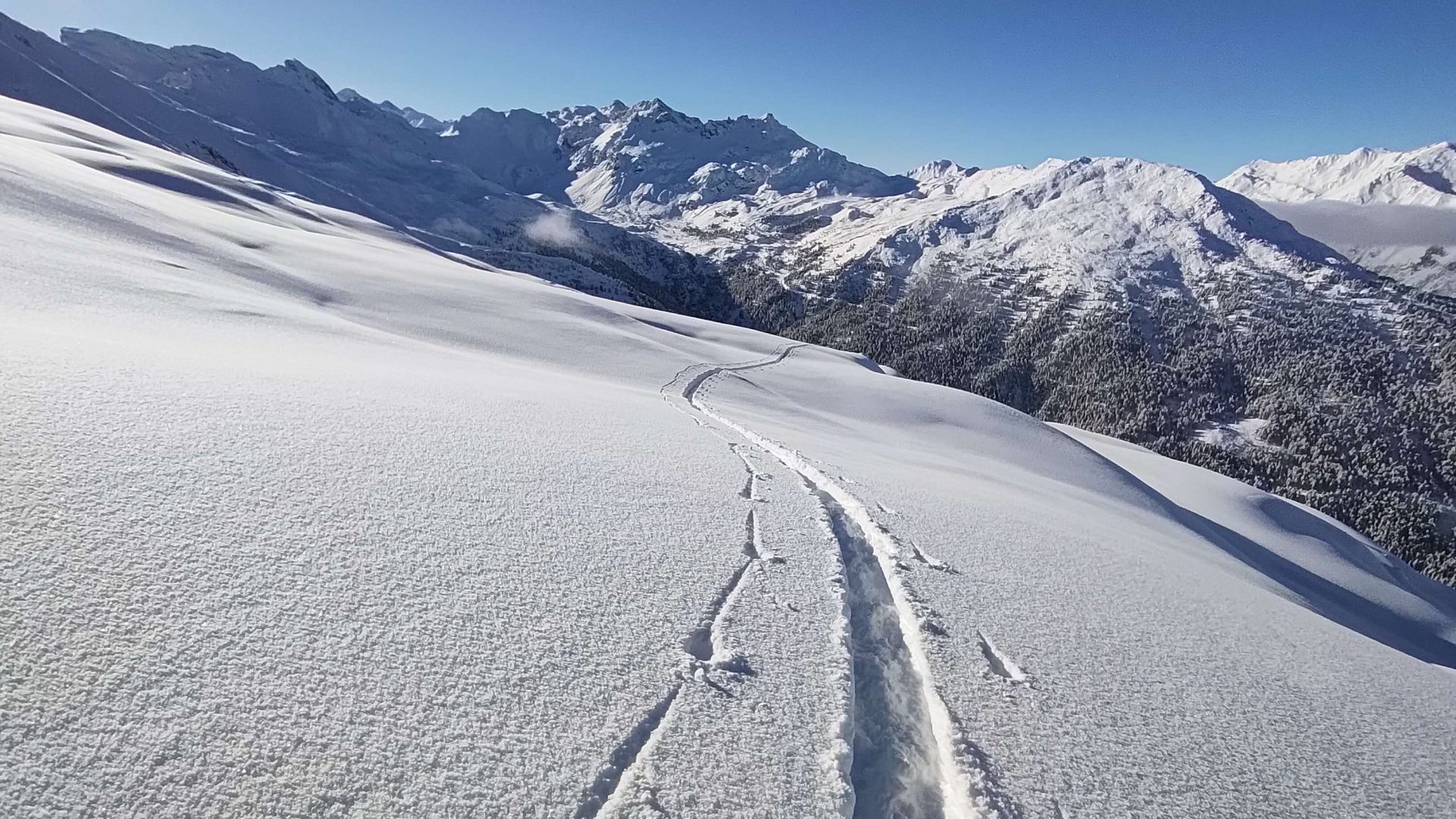
The snow situation
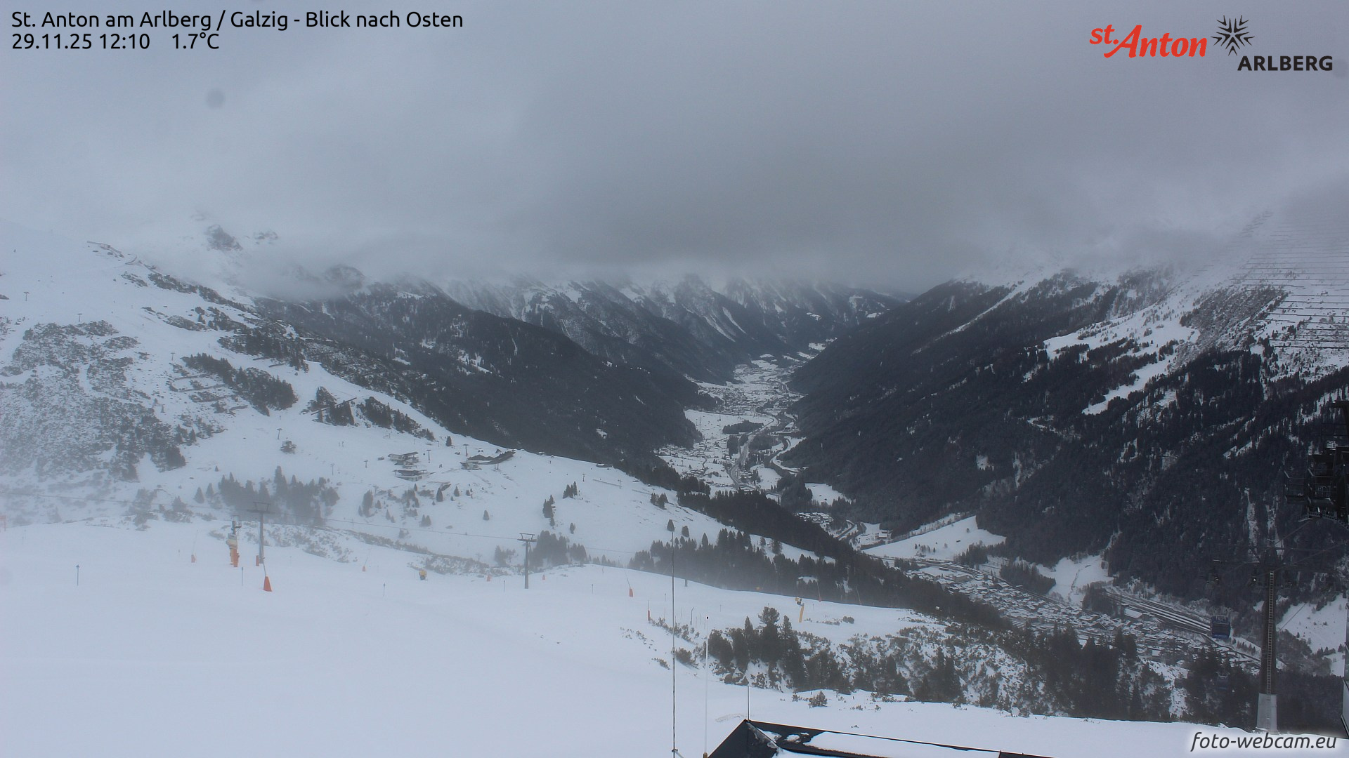
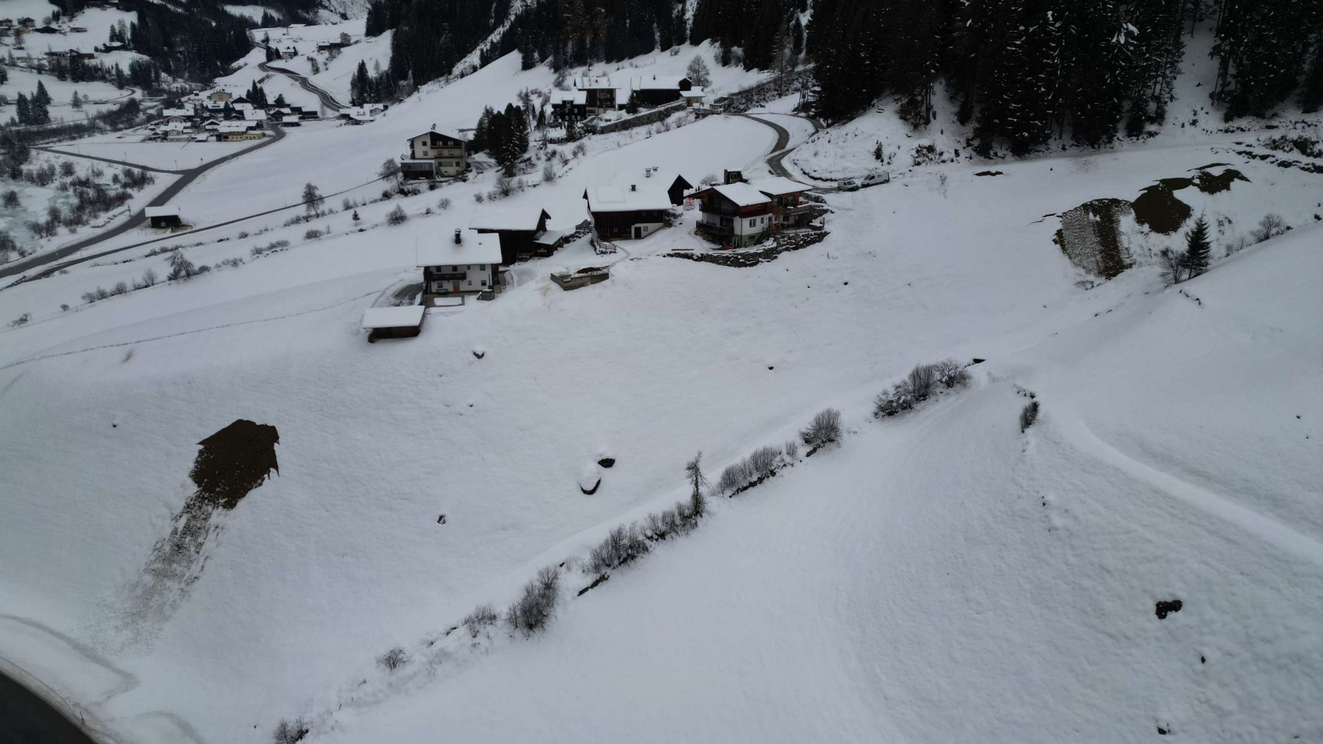
Even if we did get some snowfall in some regions between 17 and 26 November, snow depth have continually diminished since then, partly due to the higher temperatures as of 29 November, also because winds did their destructive work on the snowpack, particularly in the regions along the Main Alpine Ridge. For those reasons, off-piste terrain throughout Tirol currently has a lack of snow.
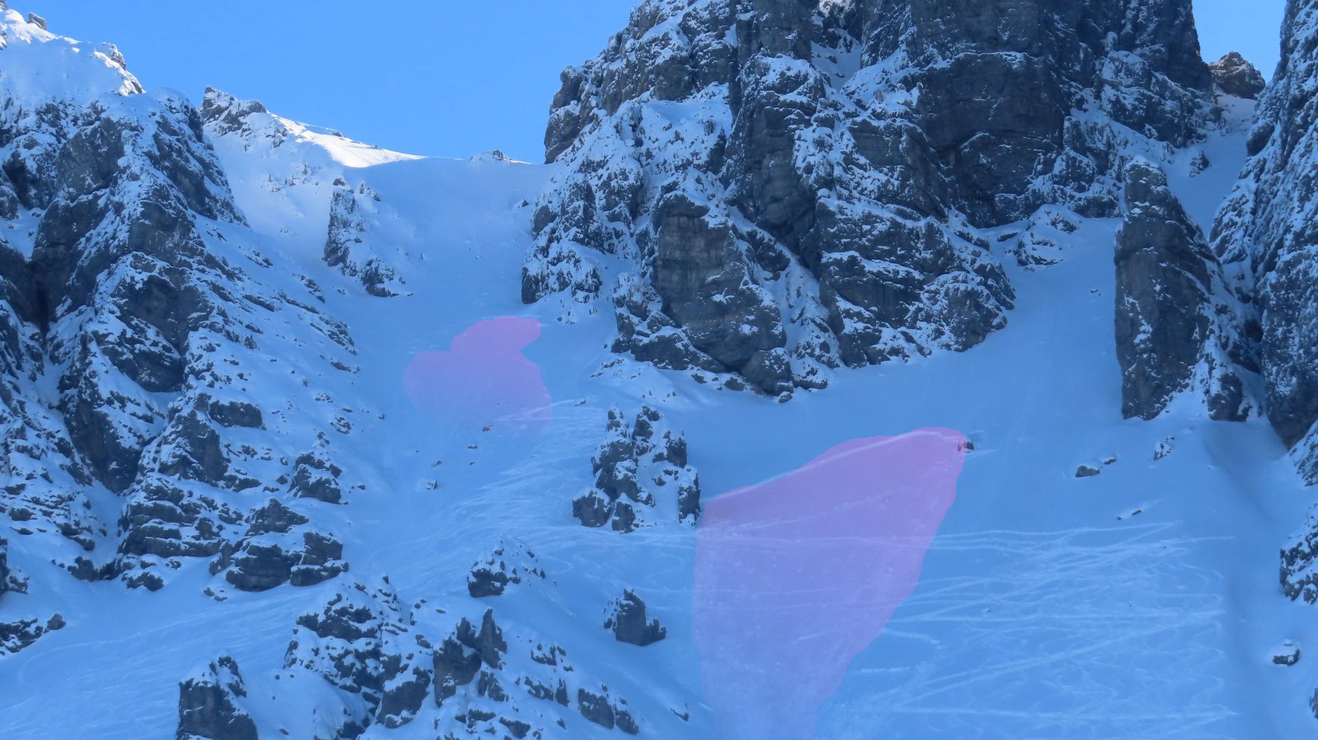
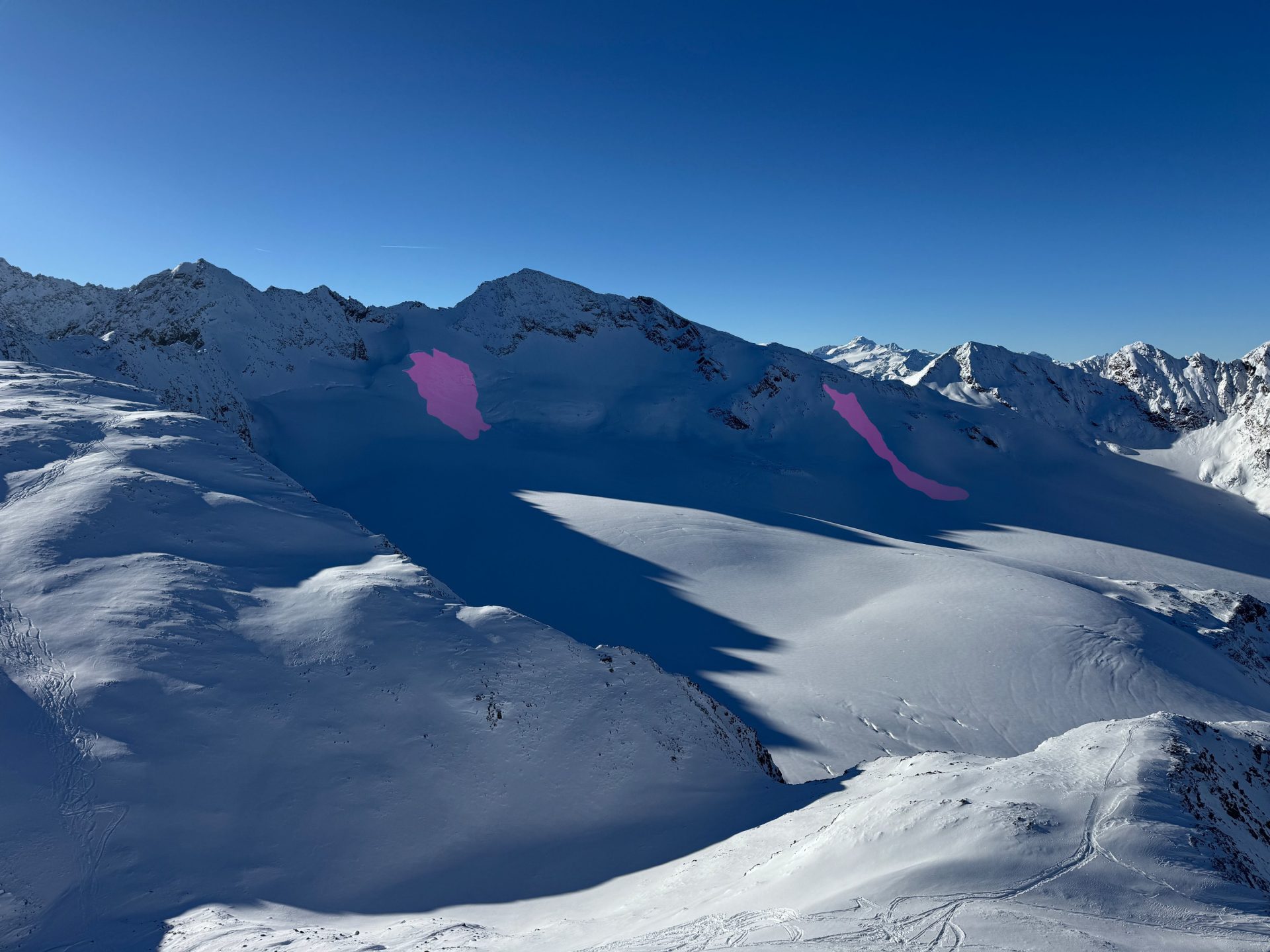
Isolated glacier releases
The warmth penetrating the snowpack intensifed the tendency towards glide-snow avalanches (mostly slides) starting on 29 November. In the meantime, such glide-snow avalanches have become rare.
What’s the outlook?
According to GSA (Geosphere Austria), “a weak low-pressure front will bring moist air masses and slightly dropping temperatures with a perturbance on early Friday, 05.12.2025. Then on the weekend, changing to a westerly air current and milder air masses. On Sunday and Monday, a warm front will bring rain and a sharply descending snow level.” The amounts of precipitation will be modest. Winds will initially be southerly to southeasterly. As next weekend approaches, a westerly air current will take over.
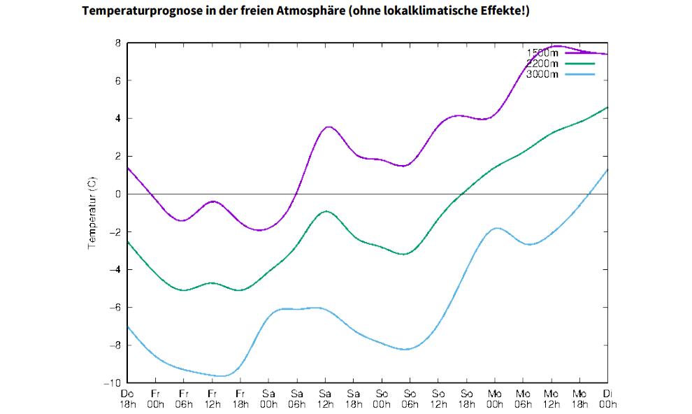
Not much change in the avalanche situation is expected. As a result of higher temperatures and limited rainfall up to high altitudes, gliding snow activity could increase slightly. At high altitudes, snowdrift masses will be generated.