Last week was marked by variable conditions and advancing snowpack wetness. In that scenario, glide-snow and loose-snow avalanches frequently released. In addition, a persistent weak layer threatens in places on the Main Alpine Ridge and in East Tirol. It will turn wintery again over the next few days, esp. in North Tirol. Fresh snowdrifts will accumulate and following bright intervals after the snowfall frequent loose-snow avalanches will be the major theme.
Weather review
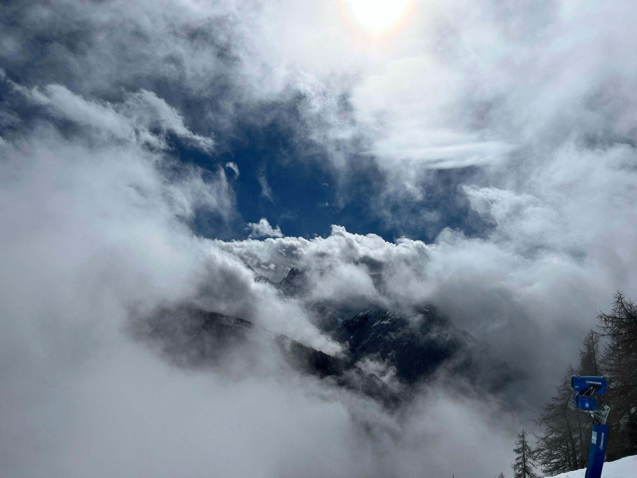
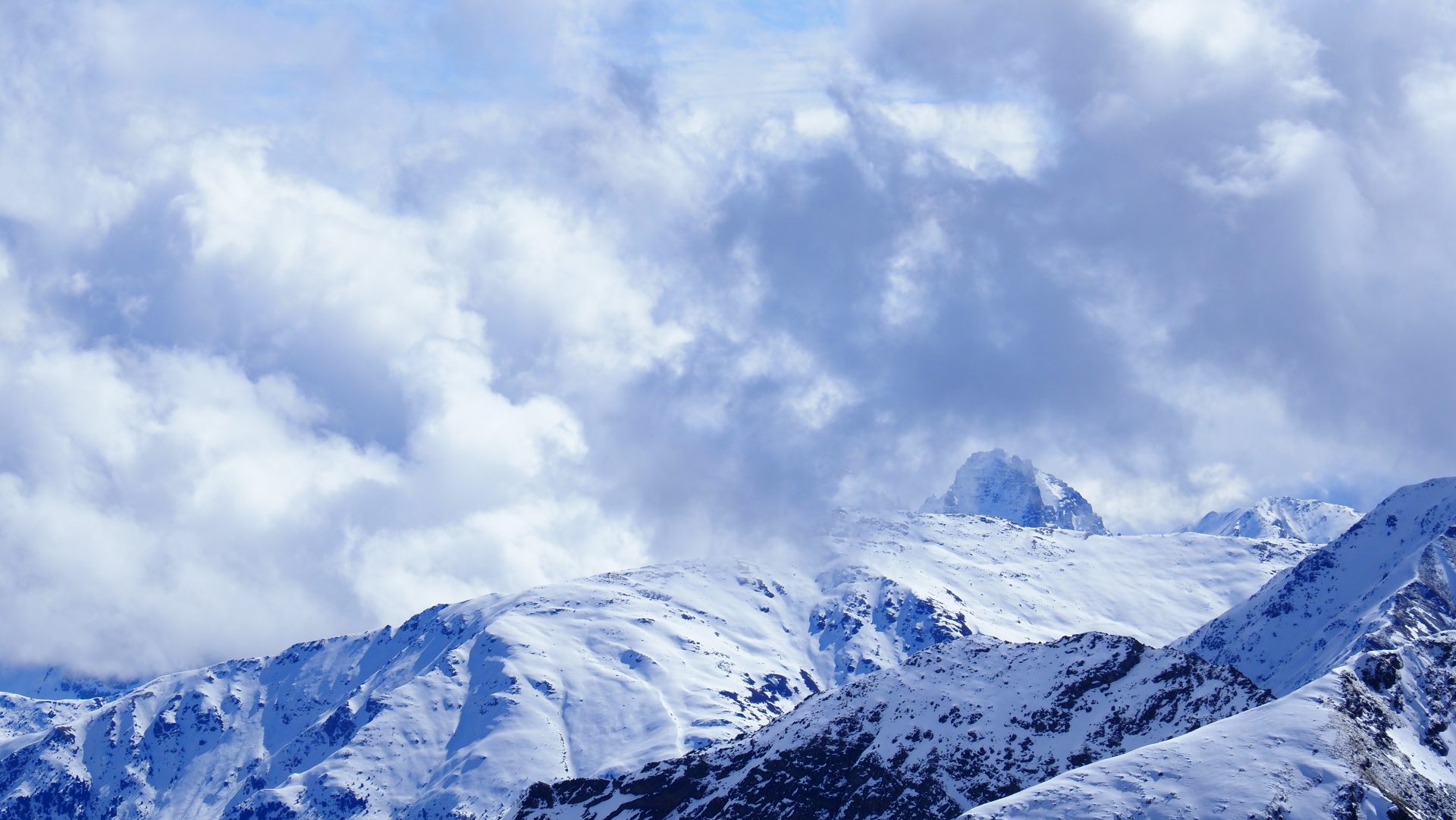
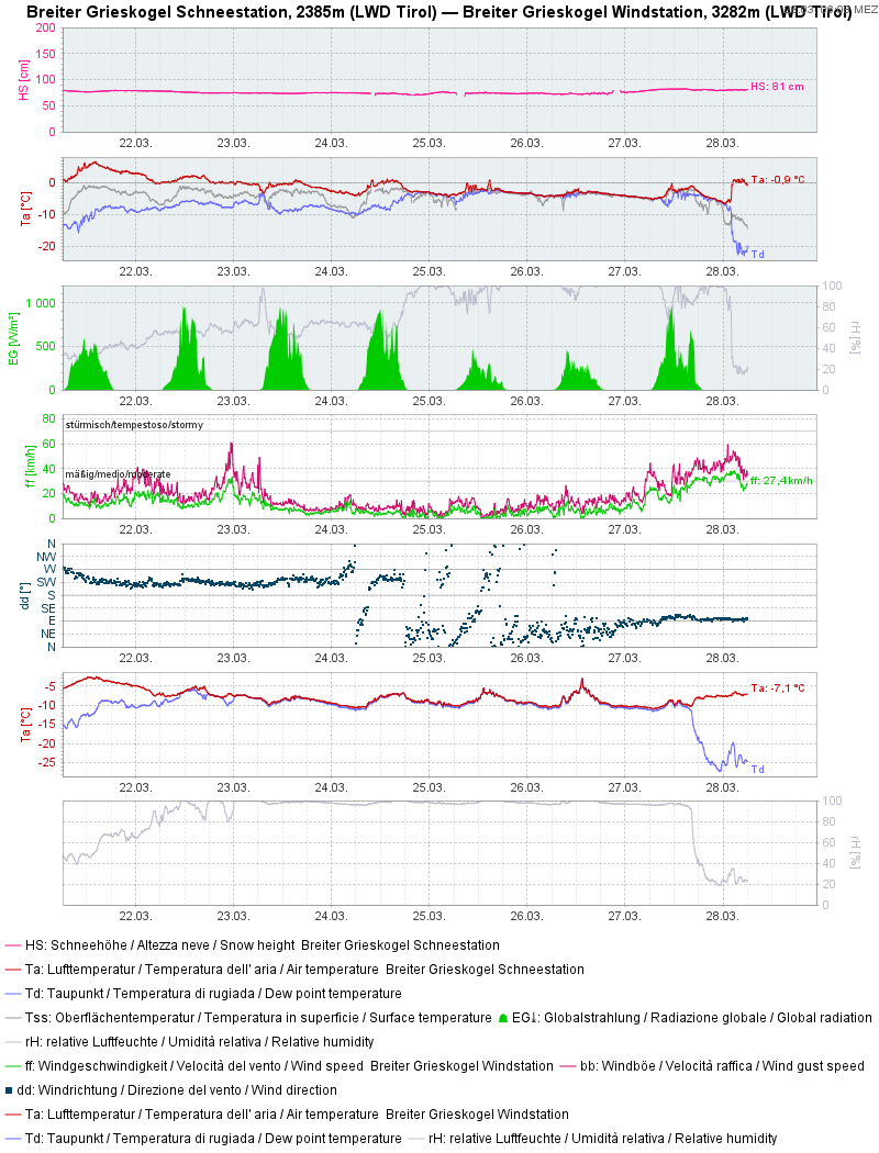
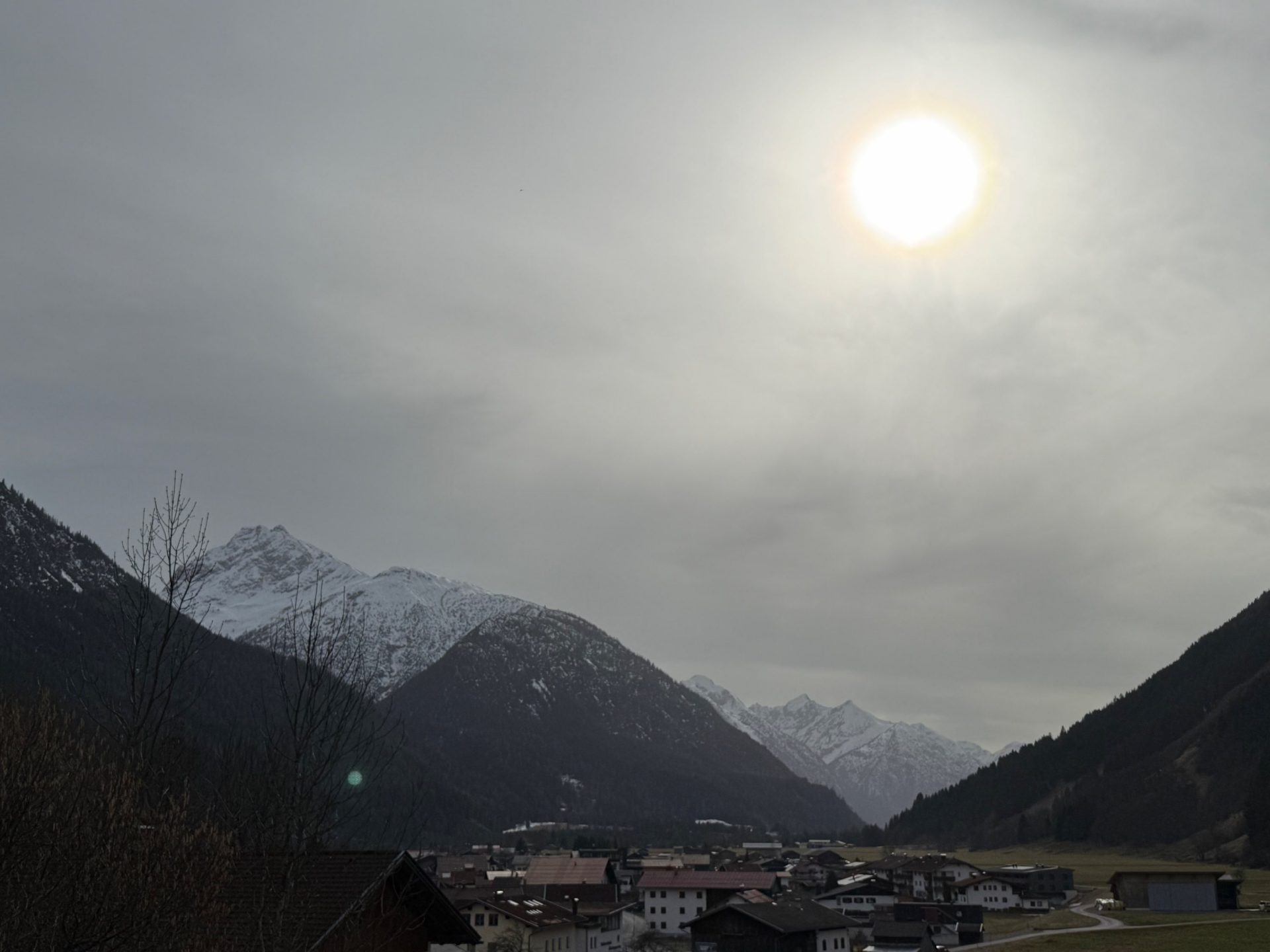
Last week, a litte early, typical April weather struck. Both North Tirol and East Tirol got repeated bouts of precipitation, frequent rainfall up to high altitudes.
Eine anfängliche Südströmung, bei der auch etwas Saharastaub dabei war, wurde von einer Nordostströmung abgelöst.
Effect on the snowpack
Thoroughly wet snowpack weakened it further
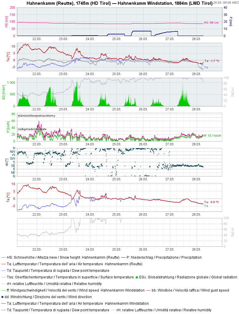
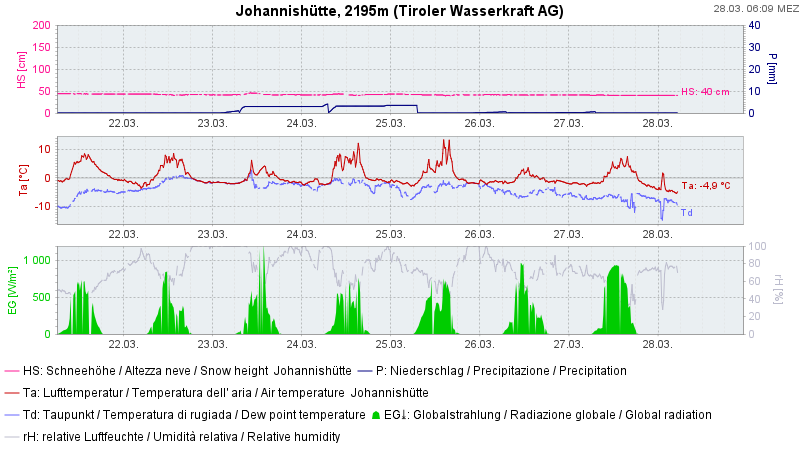
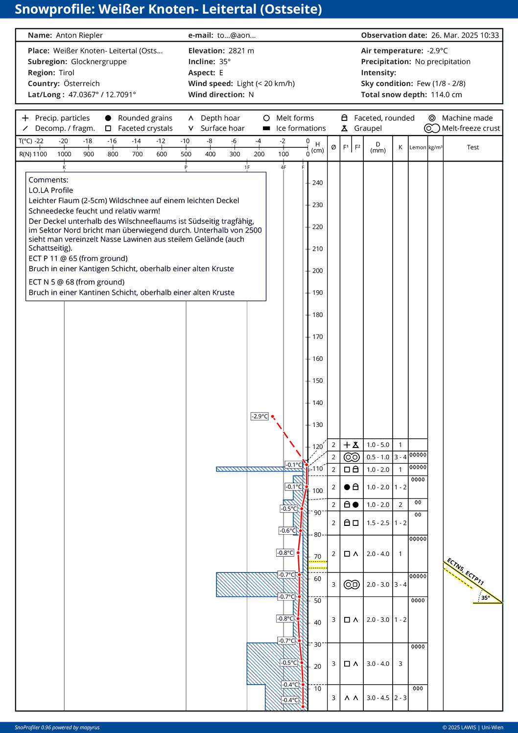
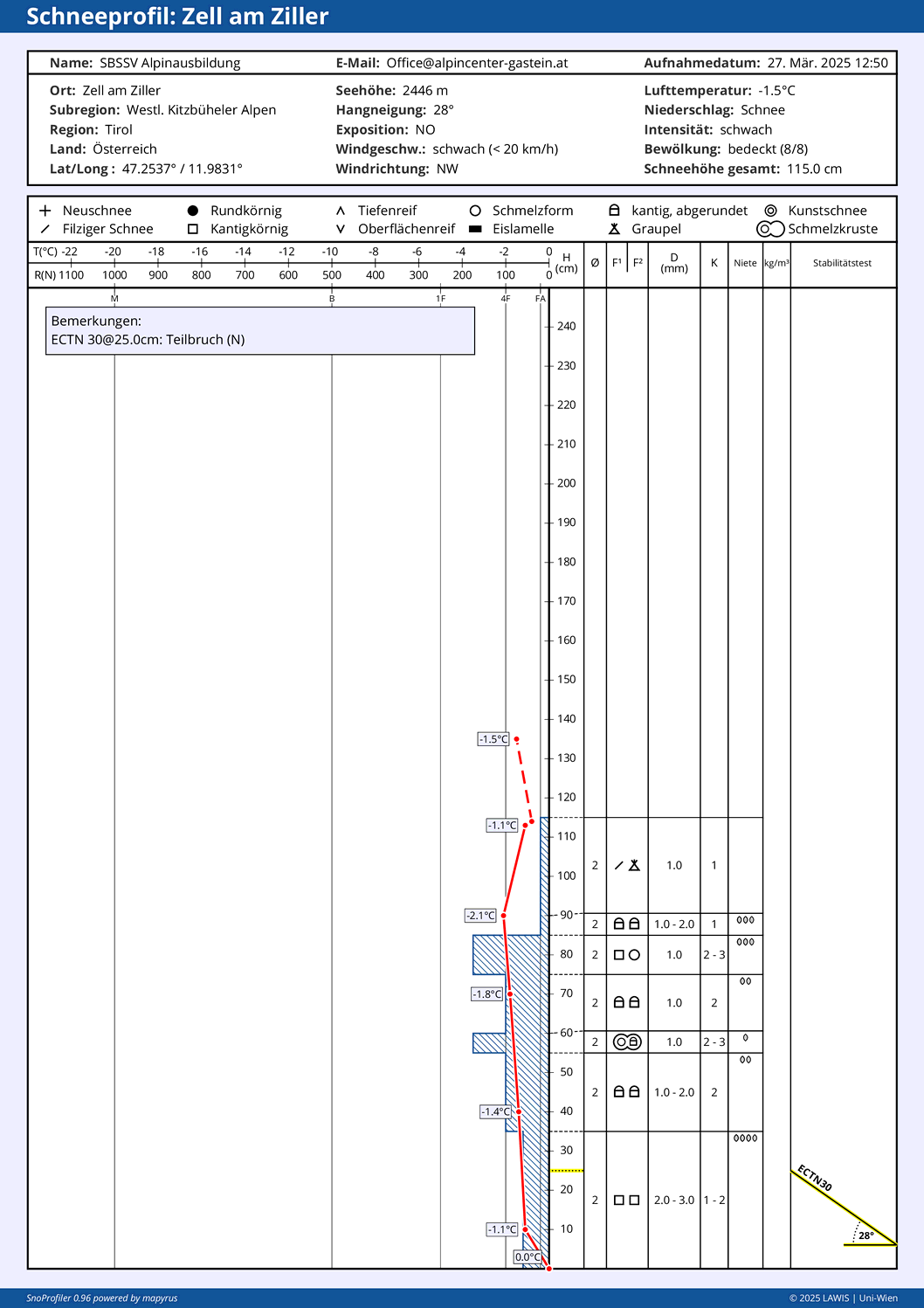
The moist/warm weather with local showers and diffuse radiation amplified the snowpack’s becoming wetter. By Thursday, 27.03, the snowpack had become isotherm (reached 0°C) below about 2200m in all aspects. On sunny slopes the near-surface wetness extended up to high-alpine regions.
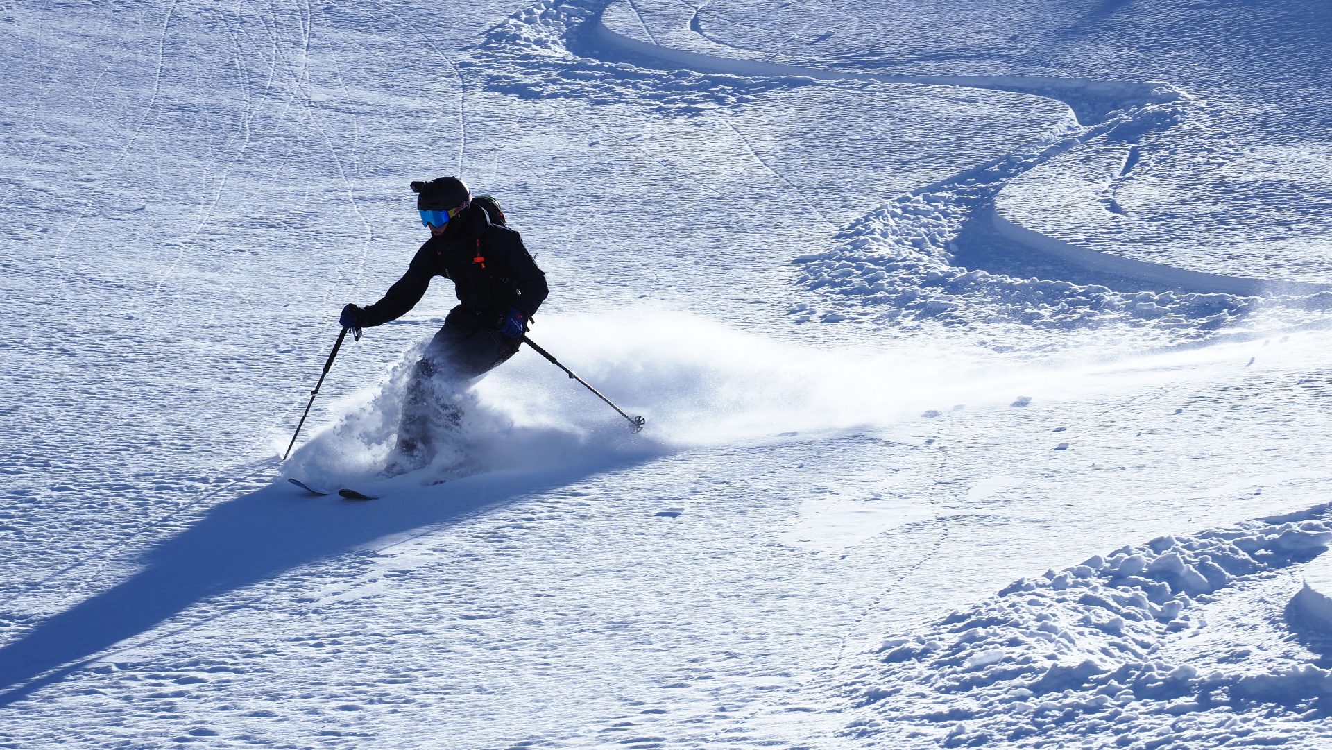
The increasing wetness of the snowpack had an effect on skiing pleasures. Skiers broke through to ground level more frequently with each passing day.
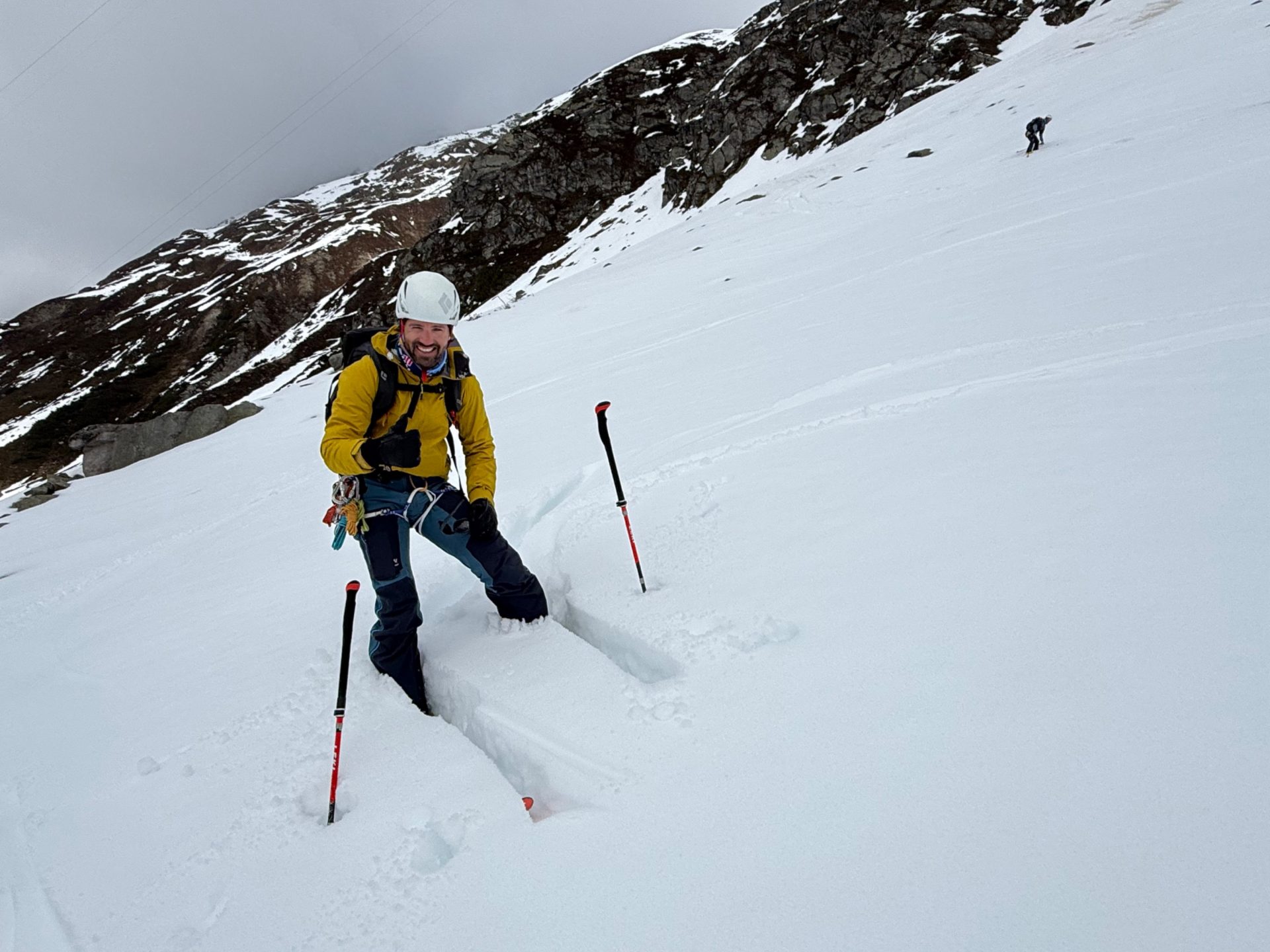
At high altitudes and also at the beginning of the week, a savvy route selection was rewarded by good knobby powder snow. Elsewhere, nearly every type of snow could be found, including “perfect” breakable crusts.
Persistent weak layer still requires caution
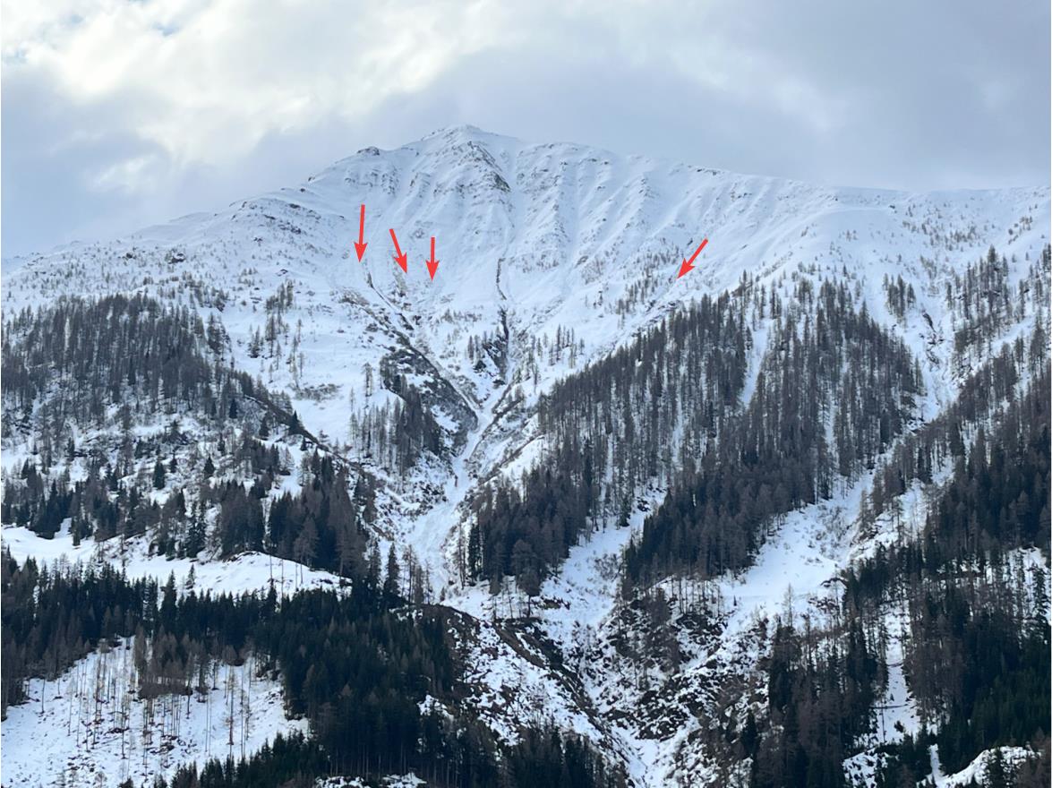
Apart from the loss of snowpack firmness due to wetness, attentiveness is also necessary for the persistent weak layer problem. This is the case in regions along the Main Alpine Ridge, particularly from the Gurgler Massif eastwards, including East Tirol, and on W/N/E-facing slopes where danger zones start at 2600m altitude. The persistent weak layer problem is the consequence of the faceted weak layer which formed during the period of fine weather and then was blanketed over starting on 10.03, especially as of 14.03. Isolated near-ground level weak layers from early winter, on the other hand, were weakened especially by rainfall and higher temperatures. Detailed explanations of the persistent weak layer problem can be found in our Blog about the avalanche incident on the Schalfkogel from 24.03.2025.
Avalanche activity
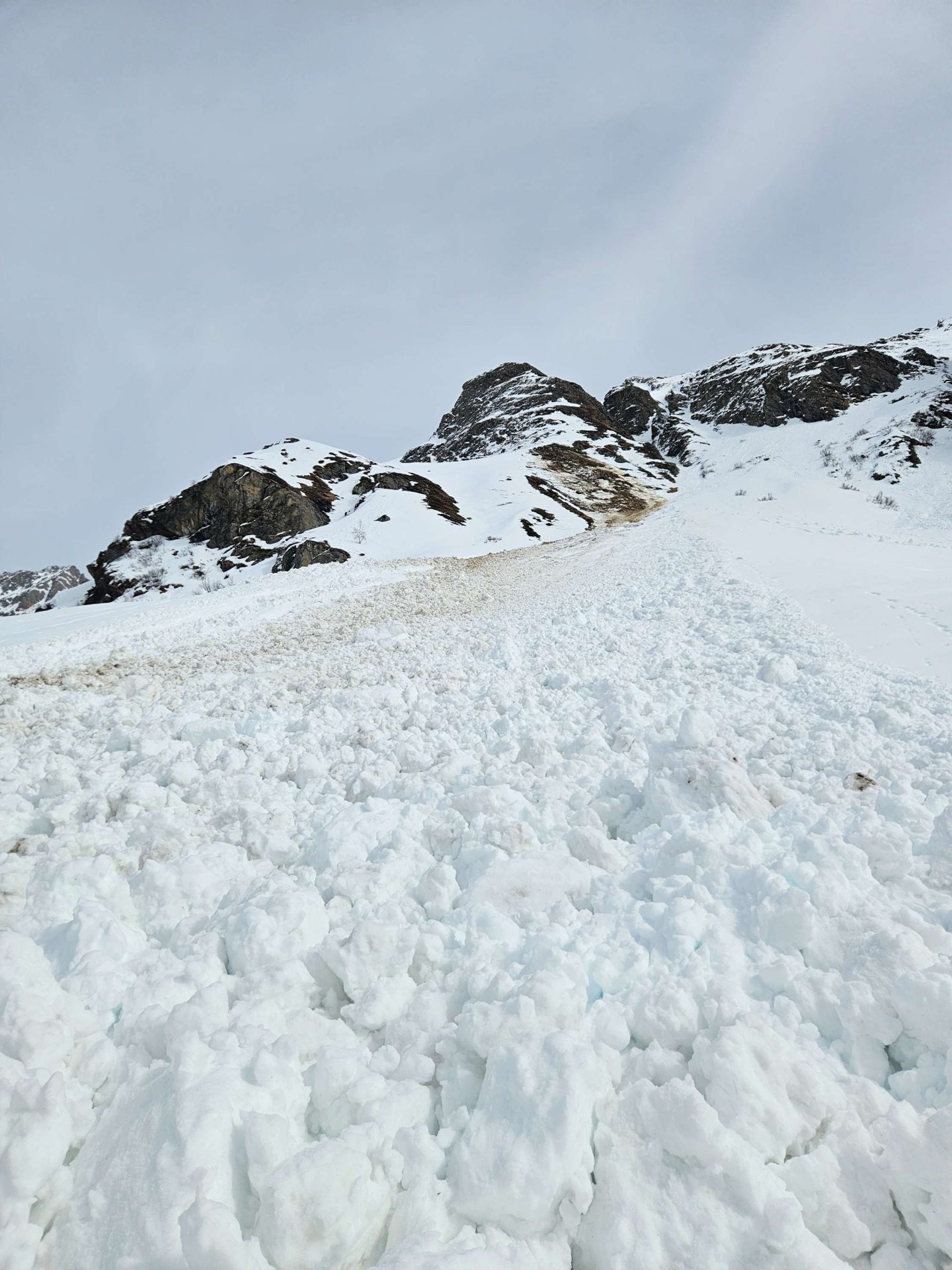
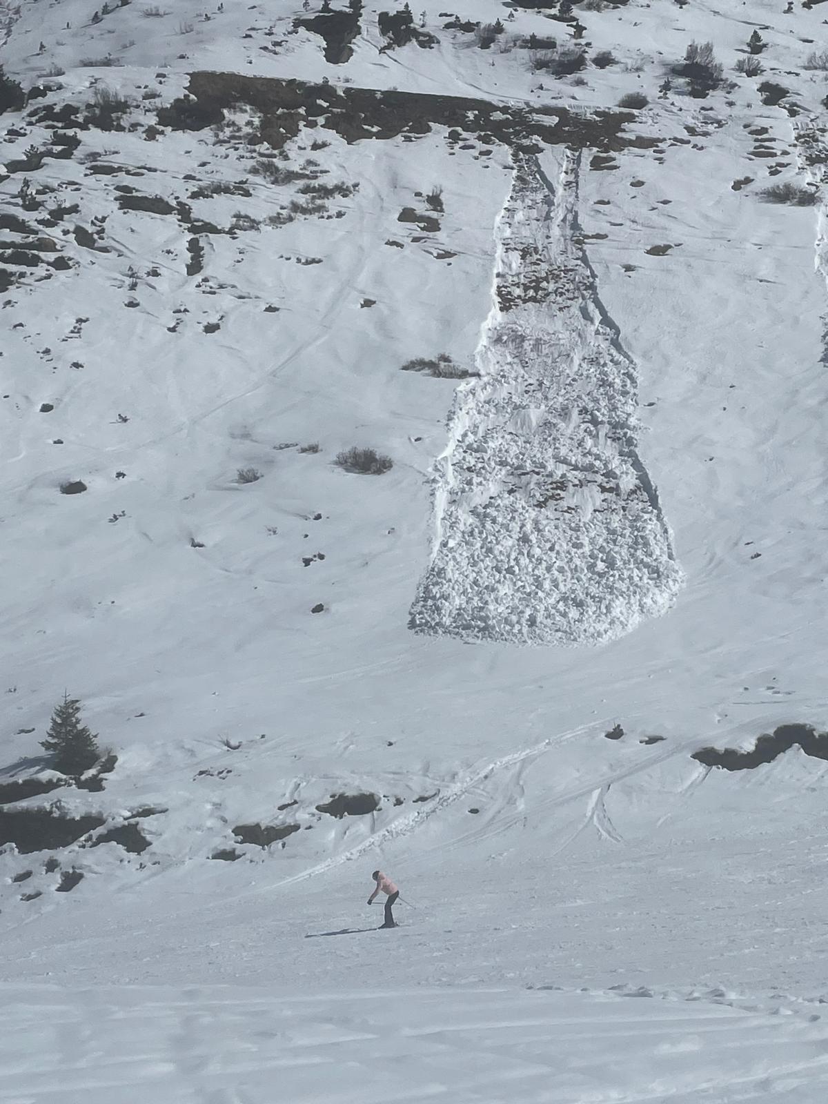
The renewed activity of glide-snow avalanches over steep, smooth slopes stood in the foreground; also the increased activity of wet loose-snow avalanches in extremely steep terrain. Most of the releases were triggered by external impulses, e.g. winter sports enthusiasts. On shady slopes, where the snowpack had been dry until that point in time and was made wet that week, the avalanches on extremely steep slopes were also natural releases, especially below 2200m.
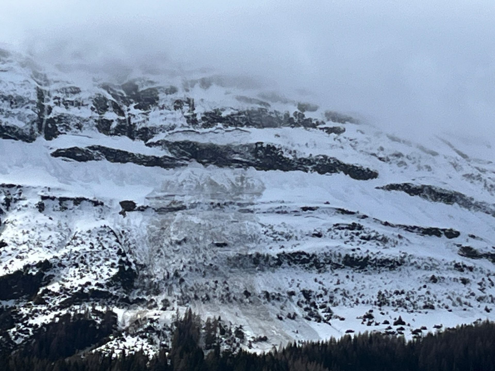
In high-alpine regions, also winter sports enthusiasts triggered (small-sized) avalanches in the freshly generated snowdrift accumulations. Danger zones occurred esp. on shady slopes and near ridgelines.

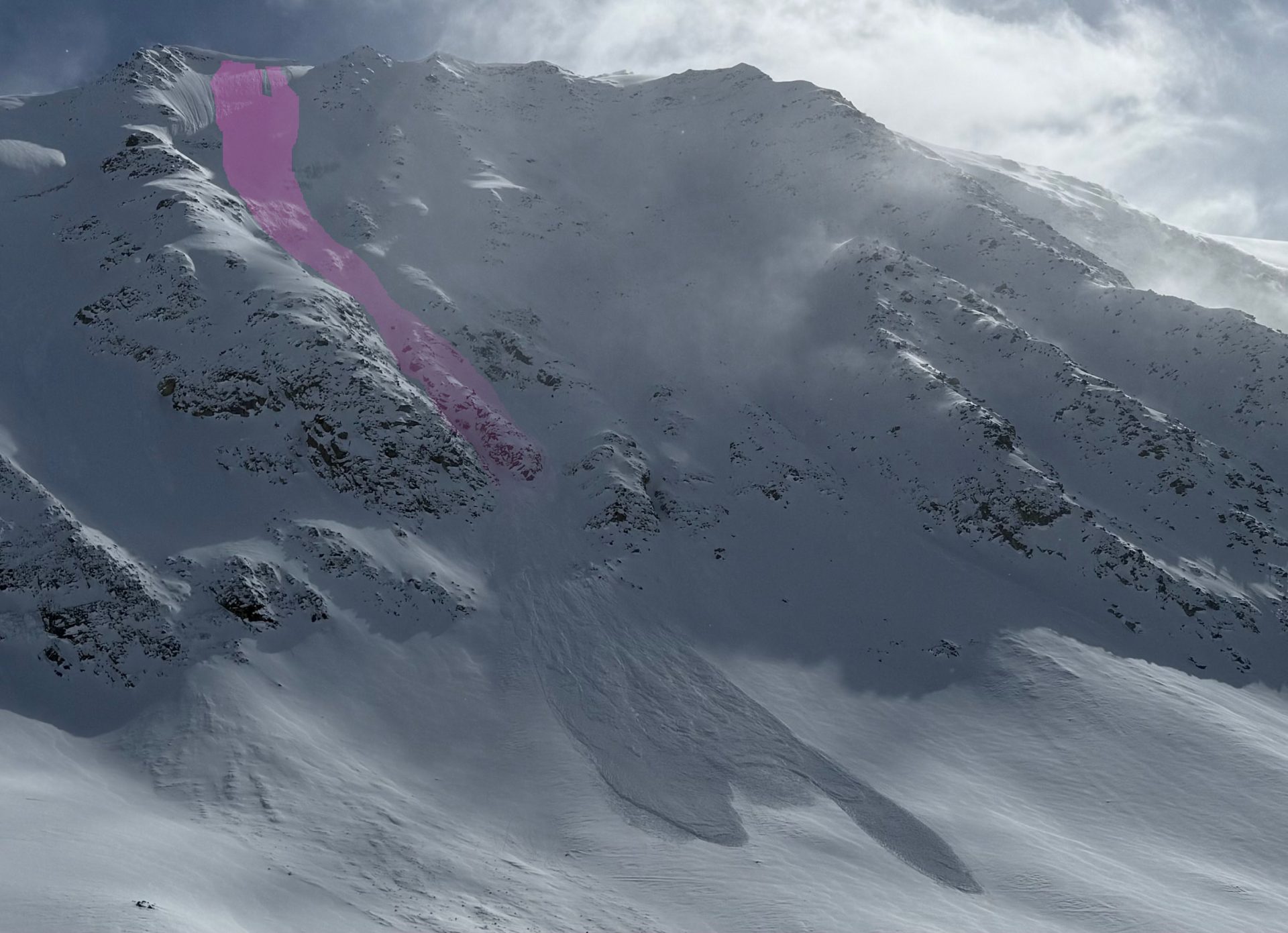
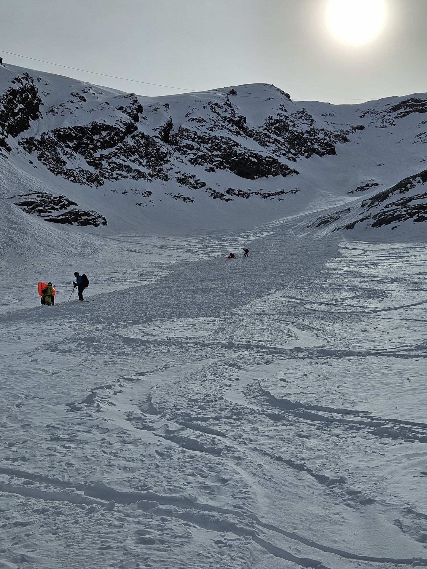
During this week of reporting there was a fatal avalanche incident below the Schalfkogel. Detailed information can be found here.
Coming developments: fresh snow on the horizon
Following a day of fine weather today, 28.03, we will fall increasingly into the grip of a cold northerly airstream. This evening, according to GeoSphere, skies will turn gray and precipitation is expected. The 0°-level will drop from 2400m down to about 1600m, so the precipitation will fall as snow down to intermediate altitudes. Winds will shift to northerly and be brisk, stronger velocity on the Tauern Main Ridge. Precipitation will persist until Sunday morning. All in all, 20-30cm of snowfall is anticipated at high altitudes; as much as 40cm in North Tirol, along the East Tirolean Tauern and in the Zillertal Alps.
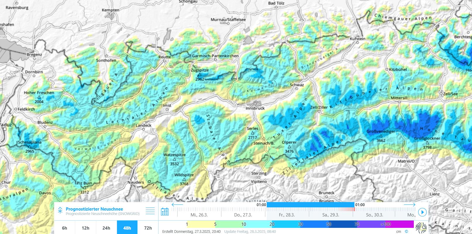
Skies will then clear before precipitation sets in again during Sunday night. In the Northern Alps, another 20-30cm of fresh snow could then be added to it. It will remain late-wintery cold.
Regarding avalanche danger, these weather developments mean that the wet-snow activity will be stopped, although isolated glide-snow avalanches are still conceiveable. Due to snowfall, reawakened caution towards a serious snowdrift problem will be necessary at high altitudes. Danger zones should be easy to recognize for the practiced eye, visibility permitting. As soon as the sun comes out after the snowfall or diffuse radiation becomes evident, we expect frequent, generally small-sized loose-snow avalanches in extremely steep, particularly sunny terrain. The diffuse presistent weak layer problem should always be kept in mind, since through the snowfall the slab atop the near-surface weak layer could become even more prominent.