Since the last heavy snowfall on Tuesday, 28 January, and the subsequent high-avalanche period, the overall situation has successively improved. Slab avalanches can currently be triggered only in few places in the old snowpack: steep ridgeline, little skied-on terrain, esp. on W/N/E facing slopes. That means shady slopes above 2200m, west and east-facing slopes above 2800m. As a result of strong southerly foehn winds over the next few days, small snowdrifts will accumulate which should be circumvented, particularly in terrain where falls are possible. In zones protected from foehn wind there will be good powder in shady terrain. Snowfall: not in sight.
Few avalanche prone locations
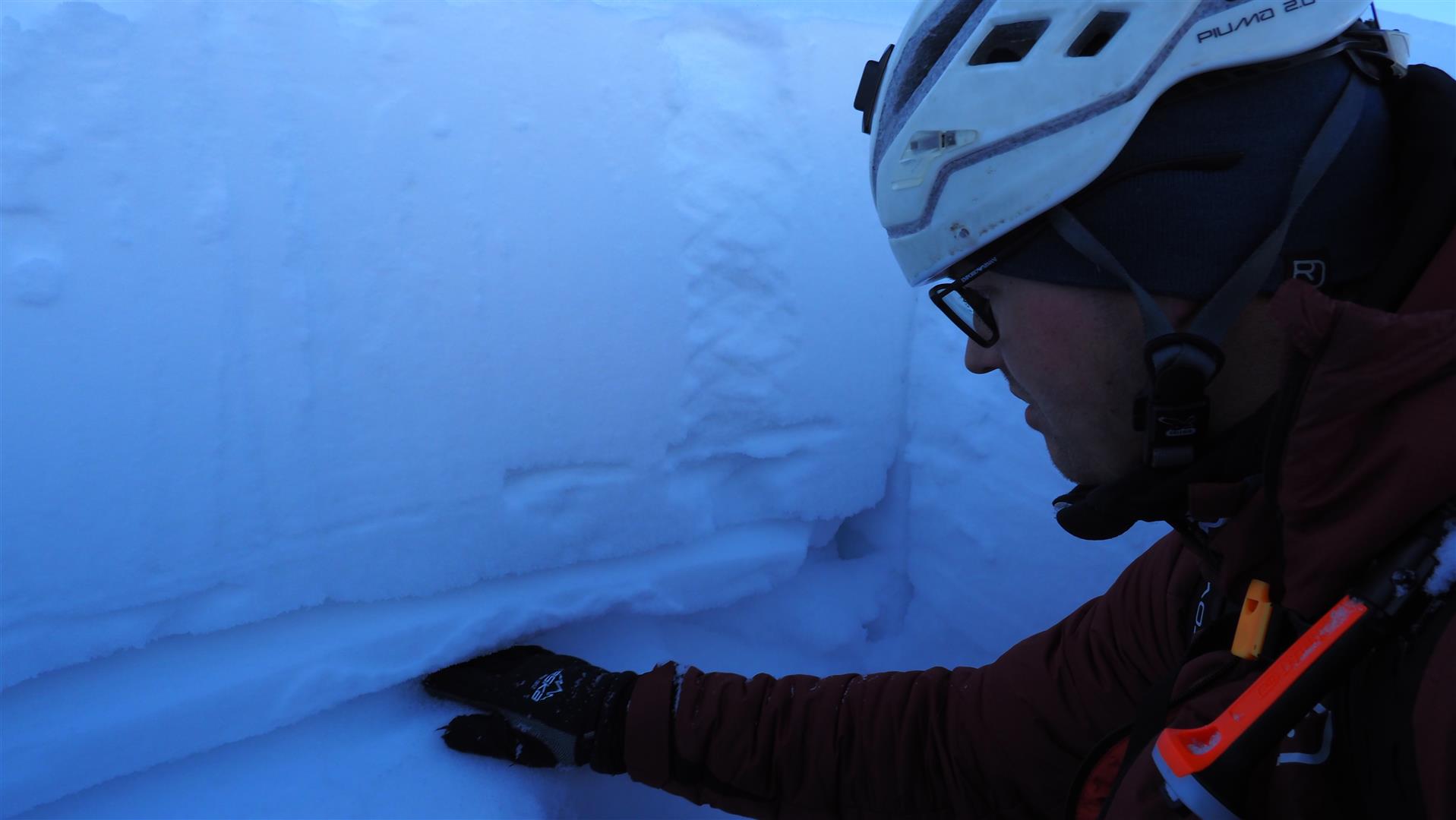
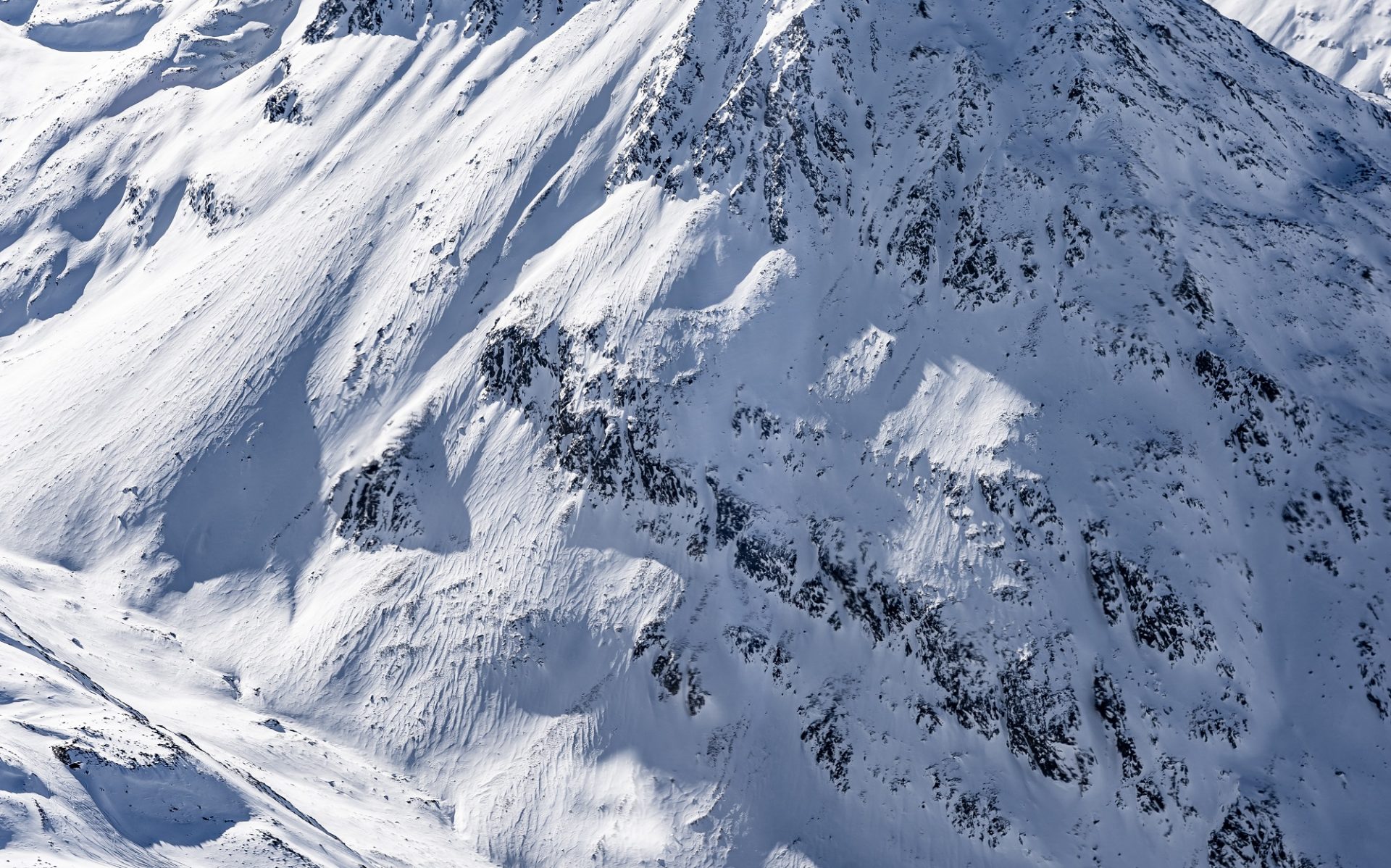
In western regions and south of the Inn in general there is still moderate avalanche danger at high altitudes. The main threat stems from weak layers in the old snow. However the current danger scale has improved over this last week, as becomes clear from reports of triggerings by persons and general information arriving from backcountry. This is because, on the one hand, the faceted, expansively metamorphosed weak layers have consolidated somewhat; and on the other, the high-pressure front has caused the surface layers to metamorphose expansively, thereby transforming the fresh snow and drifts. The faceted crystals are less interconnected, making the snow looser and non-cohesive. The upshot: the snow loses its threat as a slab and fractures have little capability of propagating.
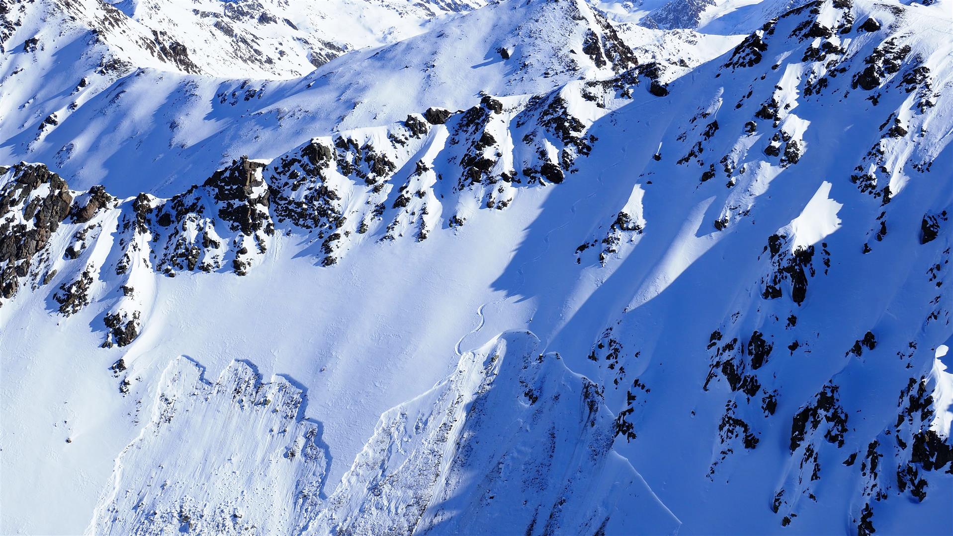
On ridgeline slopes, however, there are still zones with older, hardened drifts above the weak layers in the lower part of the snowpack. This makes it possible to propagate fractures even when the surface is expansively metamorphosed. This was demonstrated by an avalanche on Mataunkopf in the Glockturm Massif on Tuesday, 4 February. Such danger zones occur seldom, only on extremely steep (>35 degree) W/N/E facing slopes. Least favorable are areas along the Main Alpine Ridge and in East Tirol.
Pay attention to small snowdrift accumulations
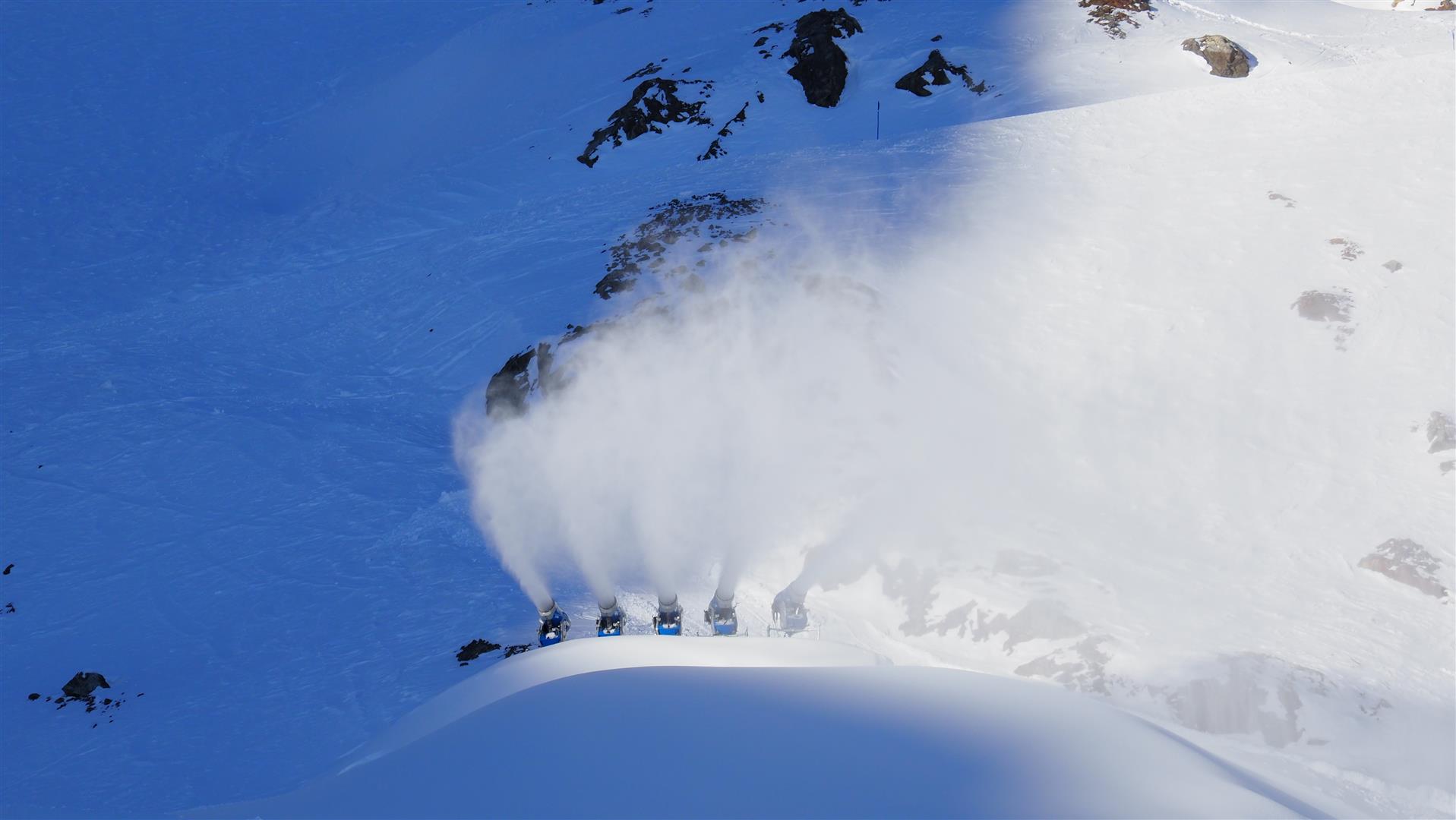
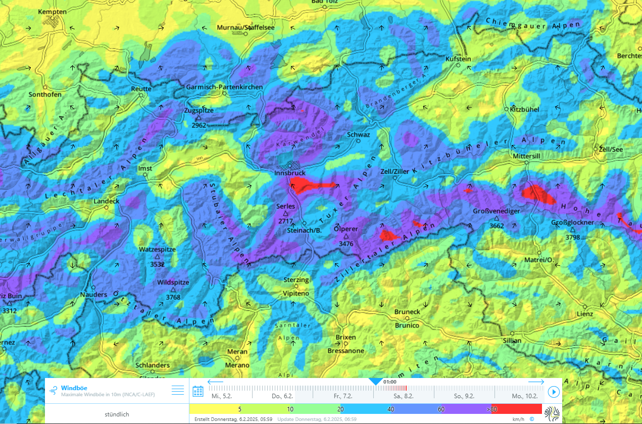
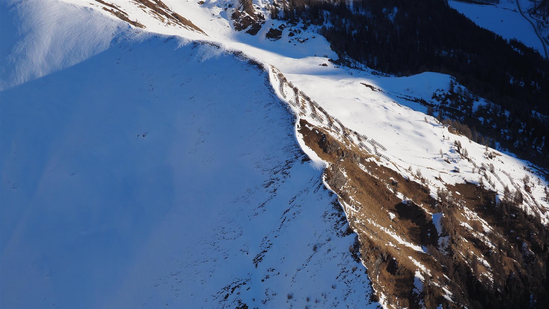
The Alps will soon (starting Friday, 2 February) be in the grips of a southerly foehn air current. North of the Main Alpine Ridge, southerly foehn wind will transport the loosely-packed snow from the surface and deposit it on shady slopes atop the expansively metamorphosed surface. The snowdrifts will be small but can still be triggered by one person. The drifted masses are easily recognized. Caution urged especially in terrain where falls are possible.
Good (recycled) powder snow
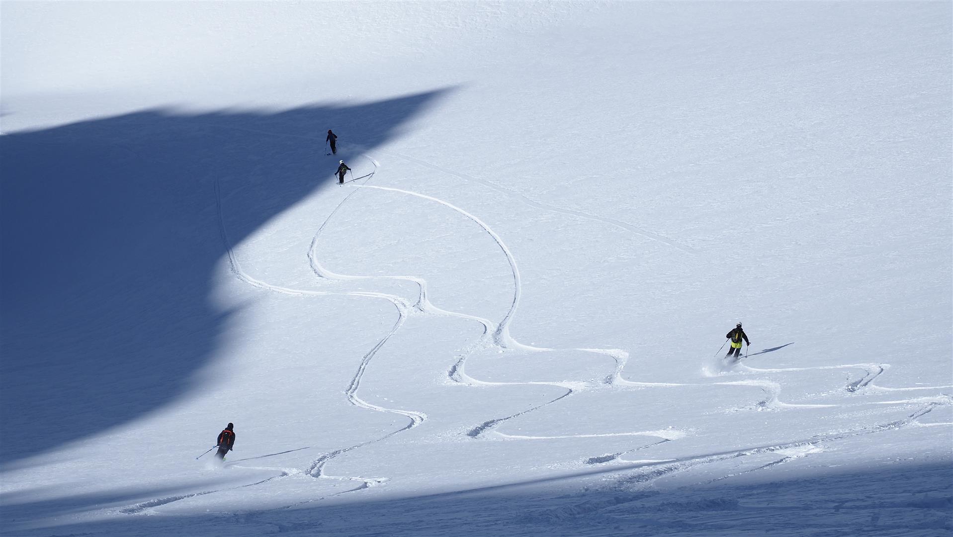
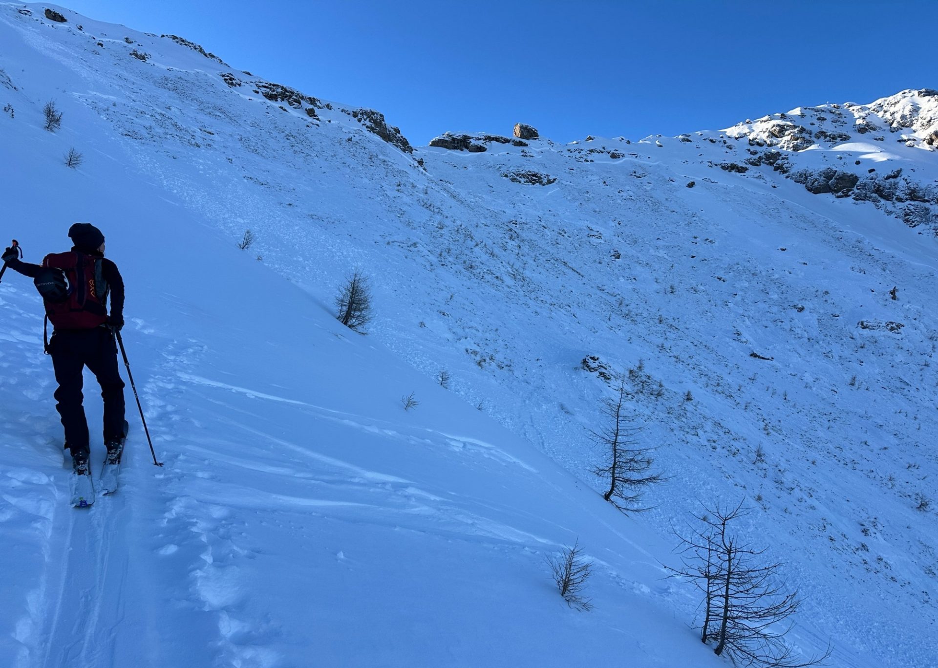
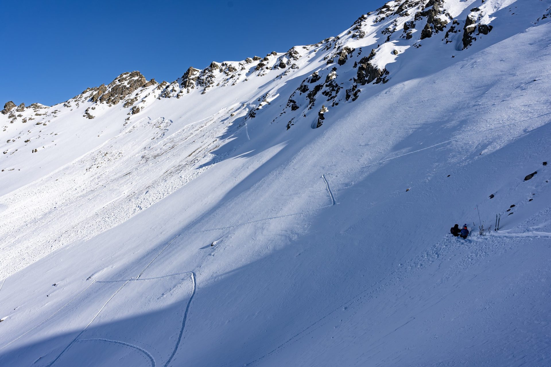
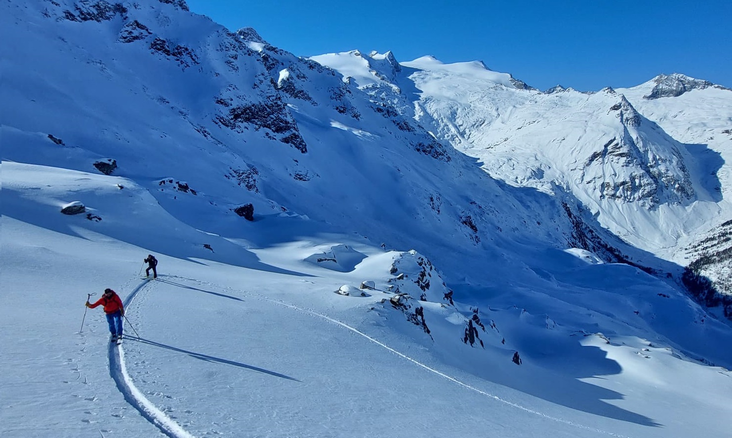
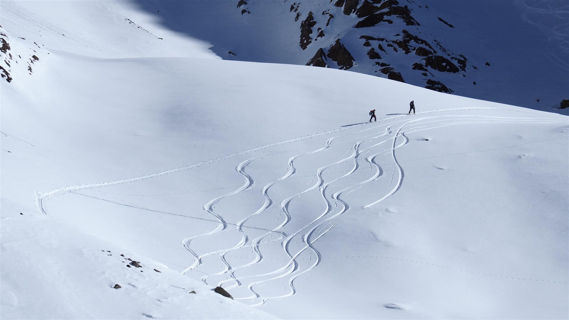
Apart from the above-described dangers, conditions are quite good. Particularly rewarding for skiers are wind-protected, shady bowls where the metamorphosed snow on the surface makes fine turns on skis possible. But foehn winds in the coming few days may have a negative effect on snow quality.
On sunny slopes there is a melt-freeze crust on the surface up to high-alpine zones. The crust is presumably capable of bearing loads only on steep slopes in southern aspects below 2400m.
A peek into the future: not much change
According to meteorolgists the prevalent high over Europe is firmly in place until mid-month. For our purposes, that means no snowfall in sight, weather will remain quite pleasant despite occasional gray skies, temperatures will be constant. In other words, not much change.