As a result of fresh snow and winds, new snowdrifts will accumulate by Saturday, 11.01. They will be deposited in gullies, bowls, behind protruberances in the landscape and can be triggered by one skier, especially on steep north and east-facing slopes. In addition, at mid and lower levels of the snowpack, especially south of the Inn, faceted expansively metamorphosed weak layers could trigger in isolated cases.
Starting Saturday, a high-pressure front will increasing gain strength. During sunny, cold days with little wind, snowdrift accumulations will be able to slowly, steadily consolidate.
Intensifying snowdrift problem at high altitudes
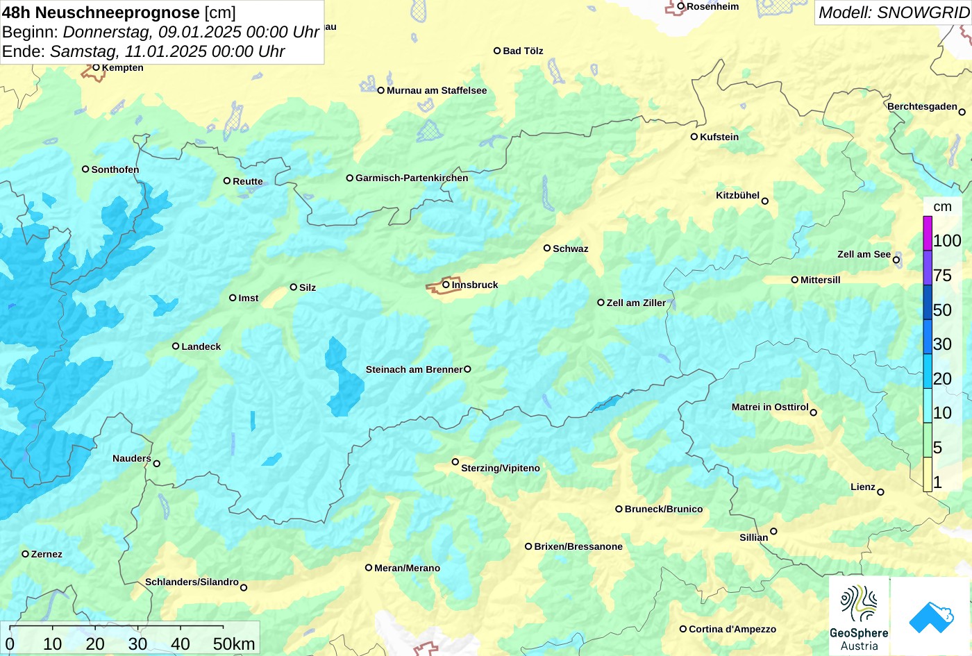
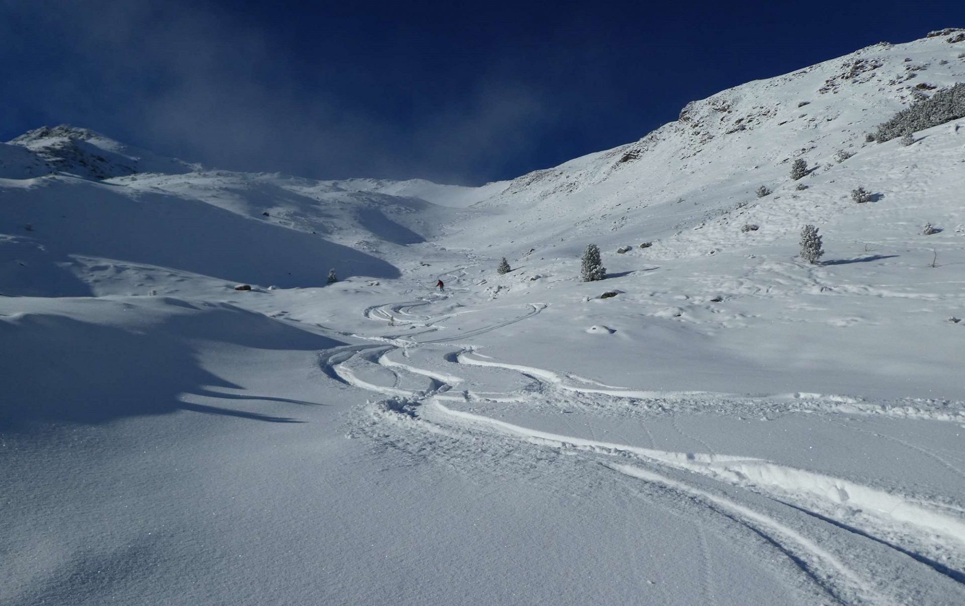
On Thursday night and in the early hours of Friday, 10.01, a cold front will bring some fresh snow and intermittently strong-velocity westerly winds. In these temperatures, winds and snowfall will generate fresh snowdrift accumulations above the timberline. Particularly on wind-protected north and east-facing slopes the drifts will often be deposited on top of loosely-packed fresh snow, and in those places can trigger as a slab avalanche. The magnitude of the releases depends on the transported loose snow: in regions where there is more snowfall, danger zones will be more frequent and avalanches can grow to medium size.
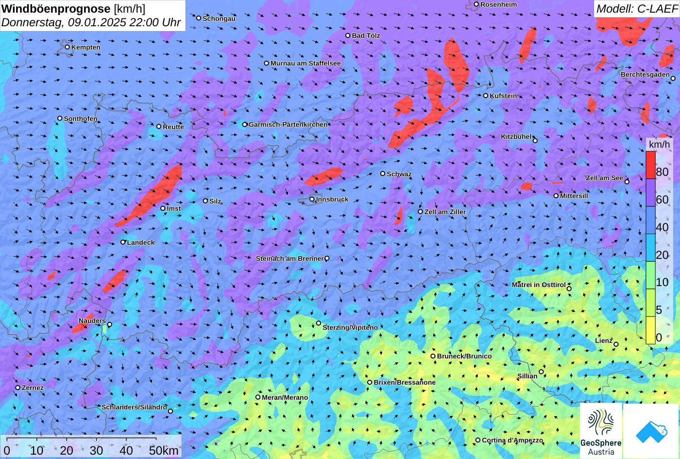
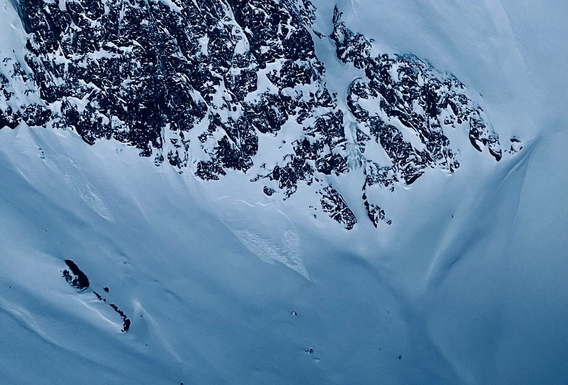
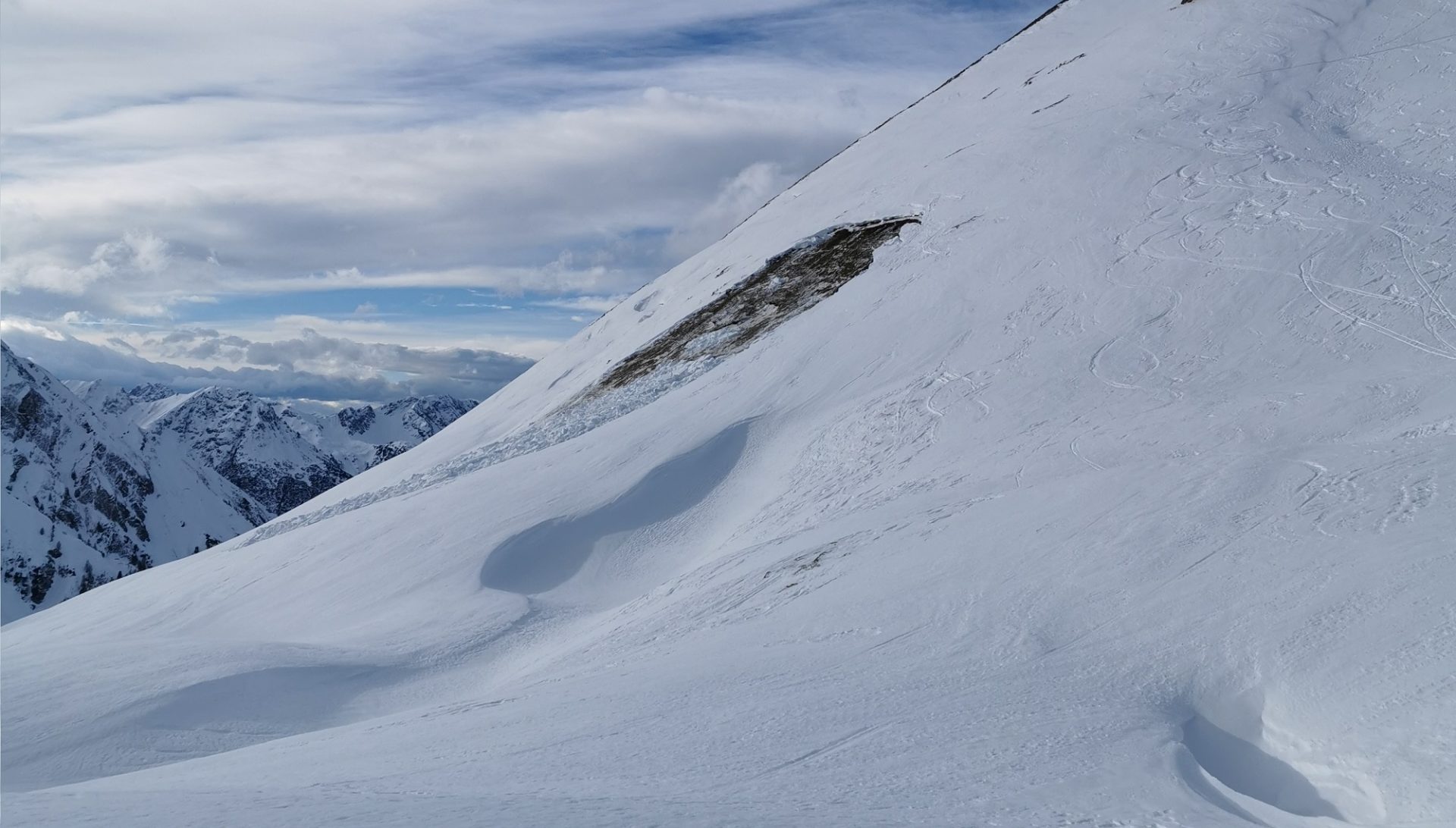
On shady slopes above 2400m, even older snowdrift accumulations generated over the last few days can be triggered. Avalanche prone locations and likelihood of triggering tend to increase with ascending altitude. Below 2400m and on sunny slopes, mild temperatures, frequent rainfall and solar radiation (often diffuse) since Wednesday, 08.01, have led to a consolidation of older snowdrift accumulations.
Isolated danger zones in old snow
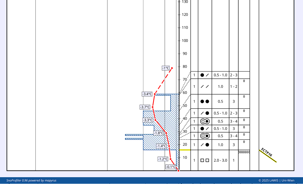
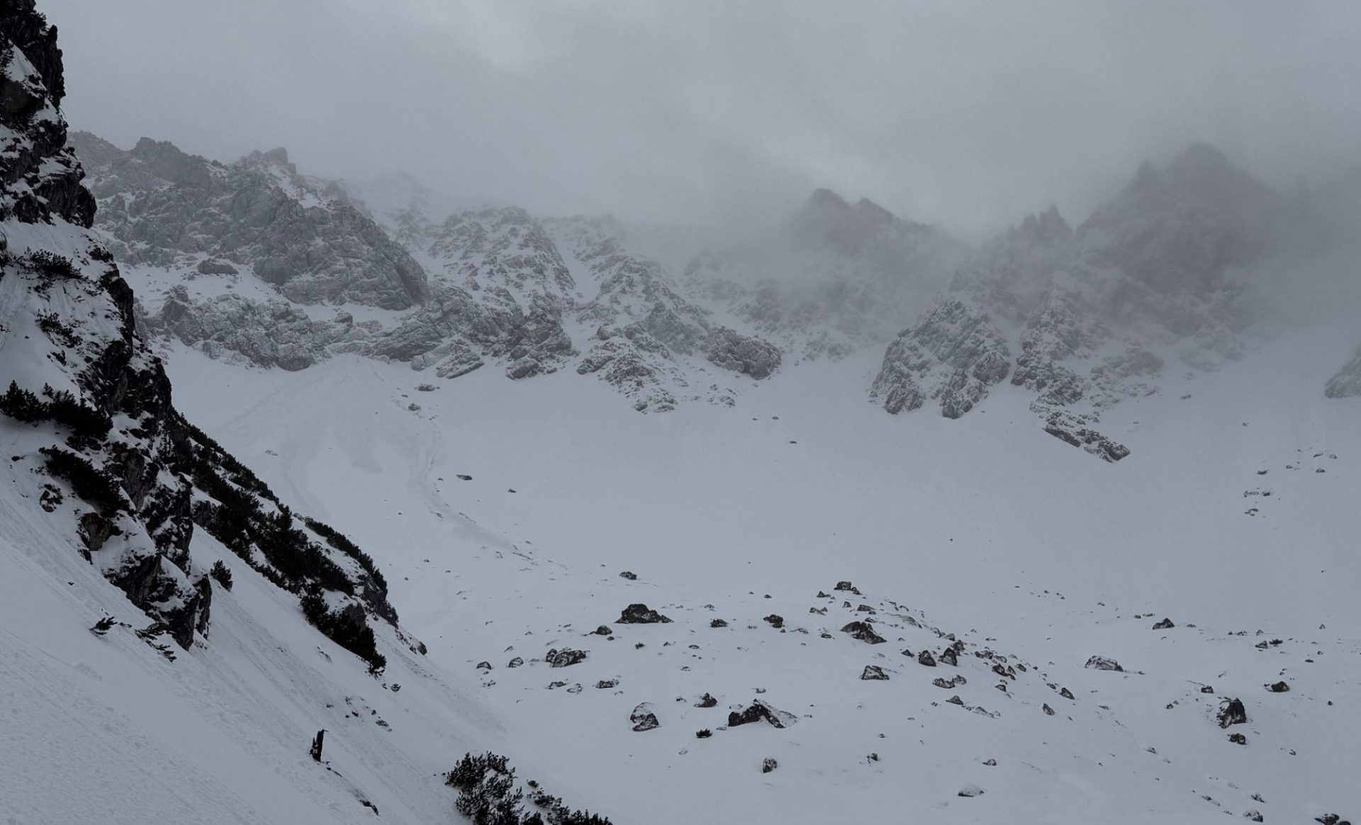
The snow cover is highly diverse throughout Tirol. At lower and intermediate levels there are weak layers in the form of faceted crystals or depth hoar, particularly in regions south of the Inn. In isolated cases, stability tests have demonstrated fractures being produced and then propagated. We currently assume there are only a few avalanche prone locations where persons can trigger slab avalanches in the old snow. Least favorable are transitions from shallow to deep snow on very steep shady slopes above 2400m.
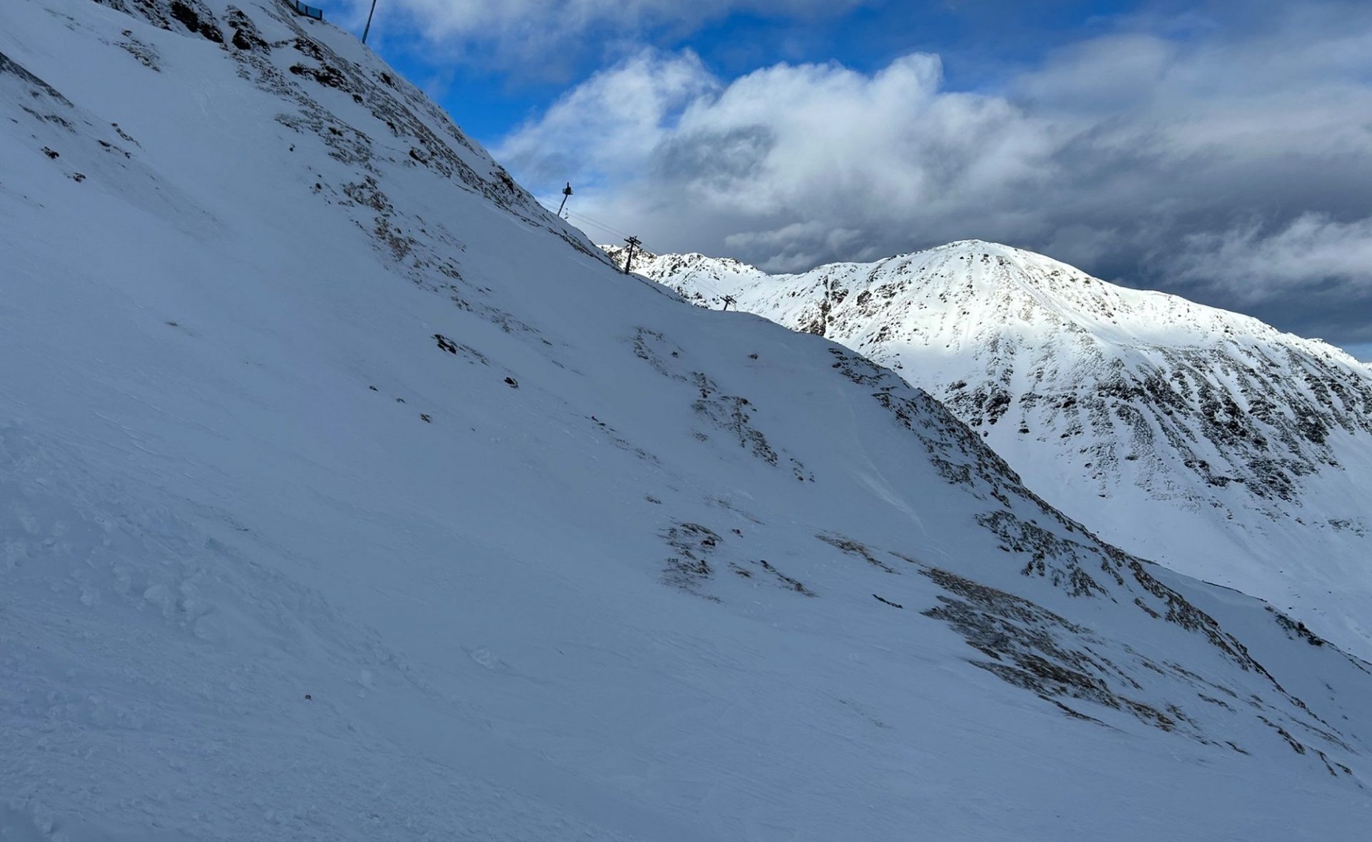
Review: varied weather conditions
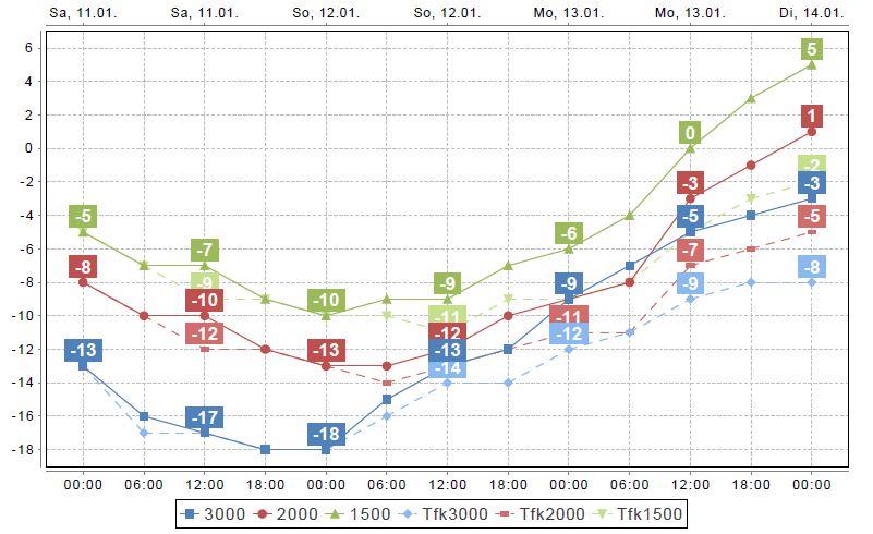
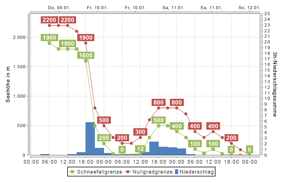
The sequence of warm/cold fronts over recent days led to a see-saw of temperatures and to some snowfall in the mountains. Intermittently there was rainfall up to high altitudes, and winds reaching strong to storm velocity.
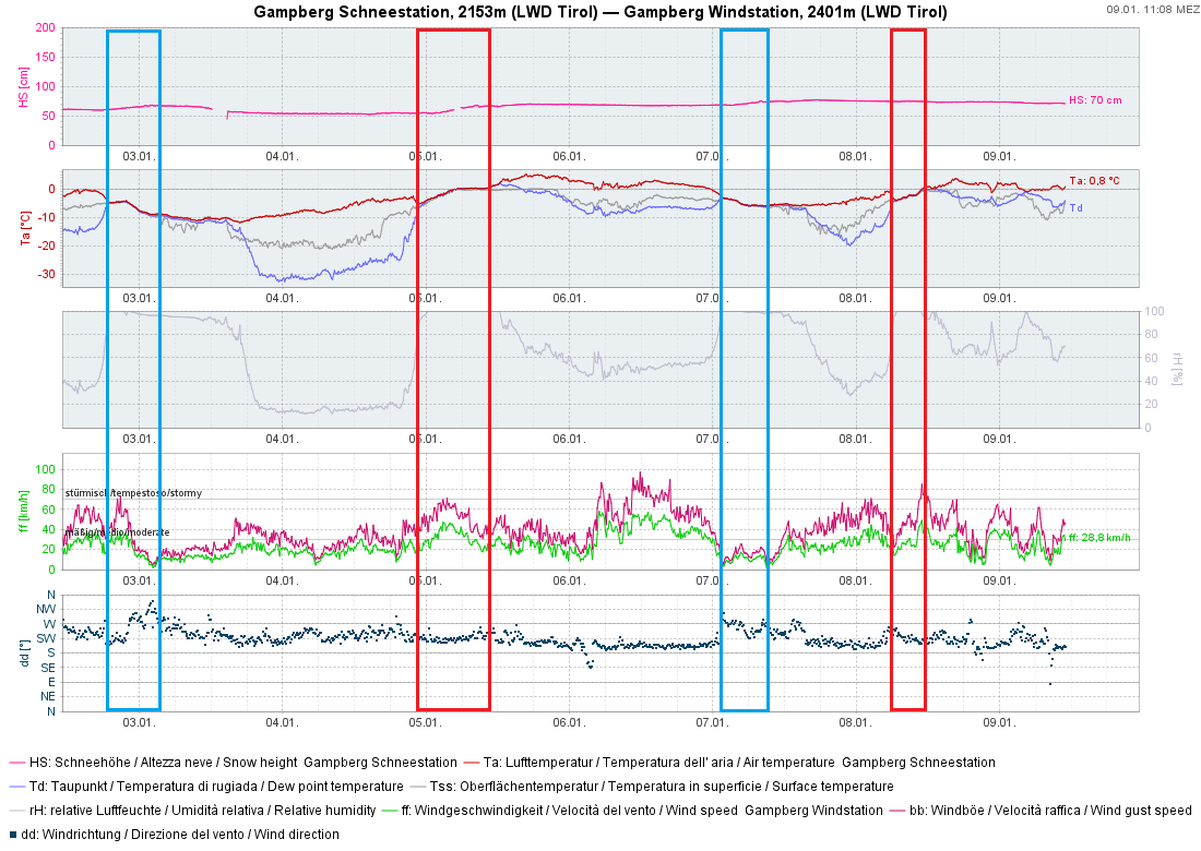
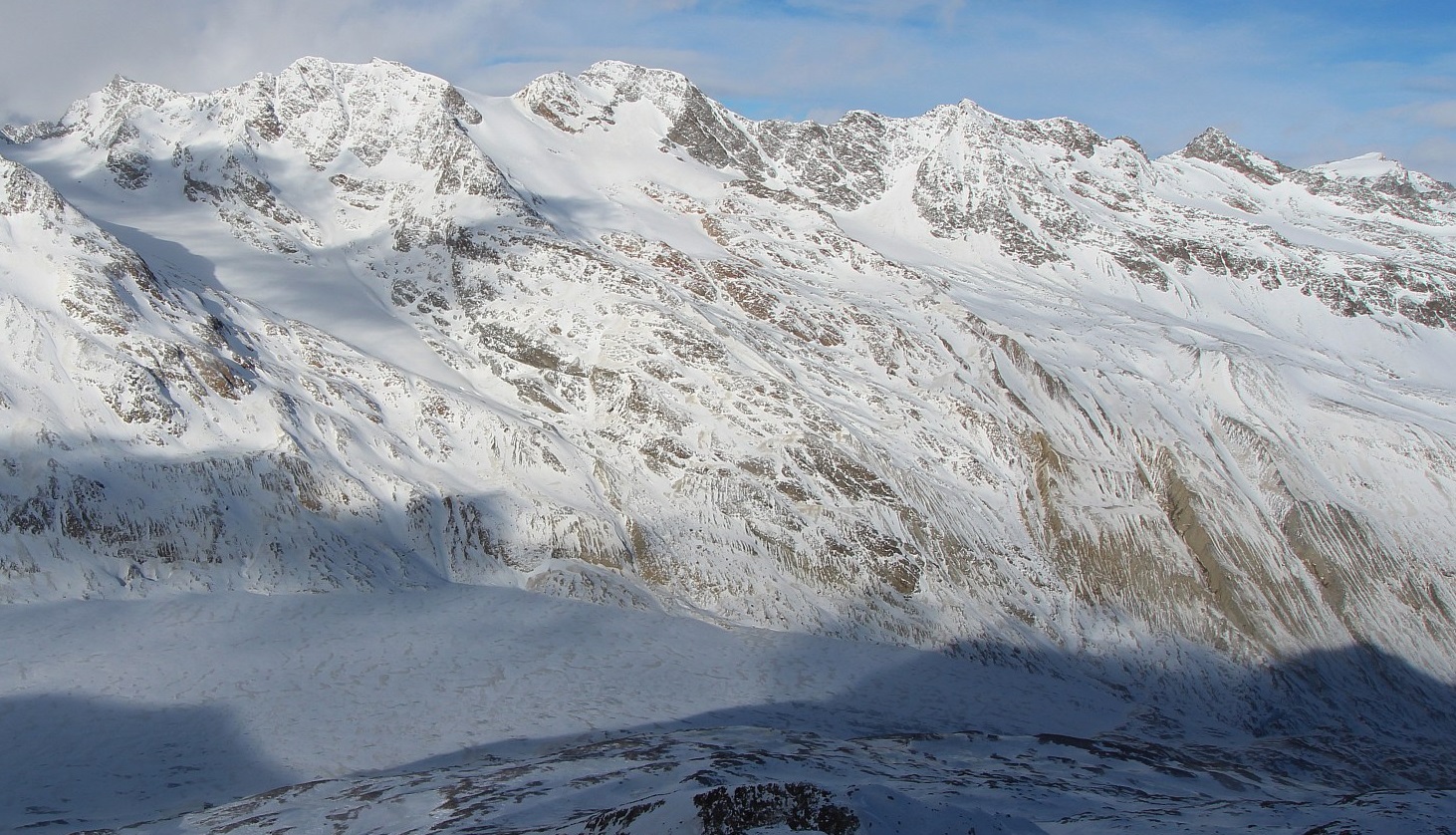
Corresponding to the weather, the snowpack was also highly diverse. At high altitudes, winds led to irregular and varied snow distribution. Due to rainfall often up to 2400m, a melt-freeze crust formed (which could become relevant with regard to the formation of a faceted weak layer beneath the crust). At low and intermediate altitudes and on sunny slopes, the snowpack become moist-to-wet, due to mild temperatures (often including rainfall) and solar radiation.
Starting Saturday: increasing high-pressure front
Starting on Saturday, 11 January, the weather will quiet down, a powerful high-pressure front will bring stable winter weather conditions. On the weekend it will be cold, but during the course of next week temperatures will rise steadily, especially in the mountains.