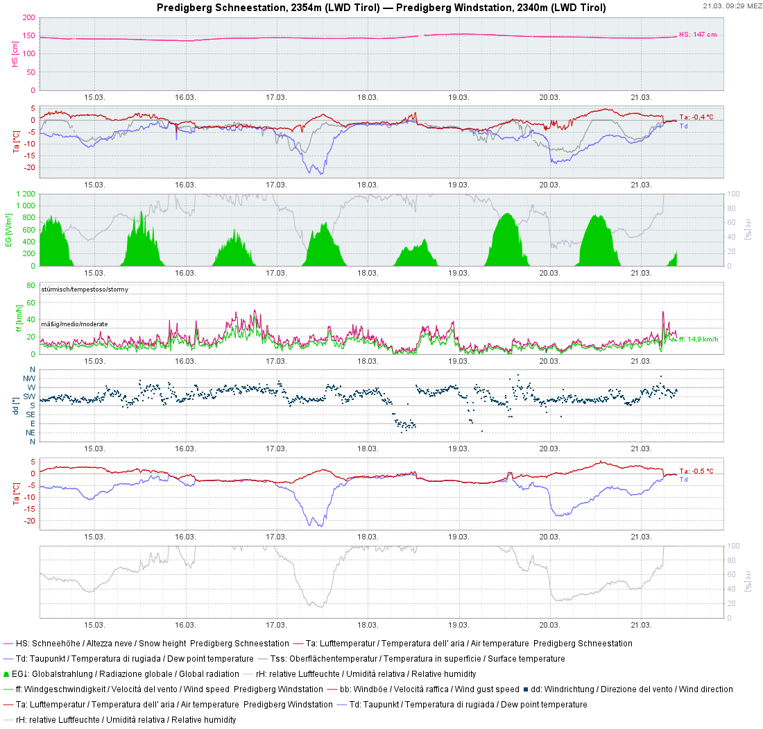
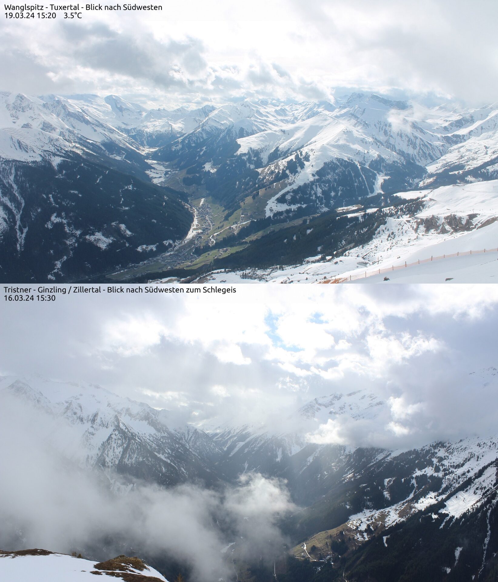
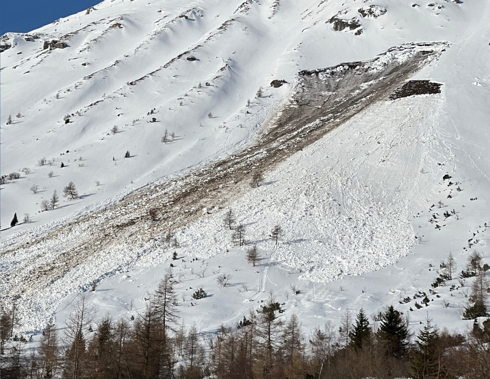
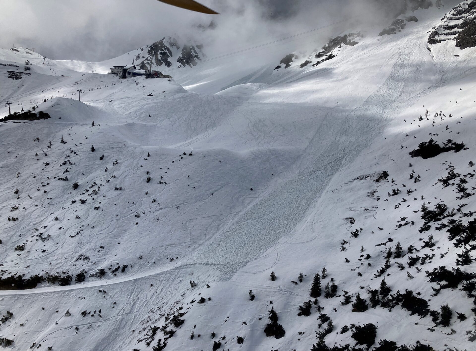
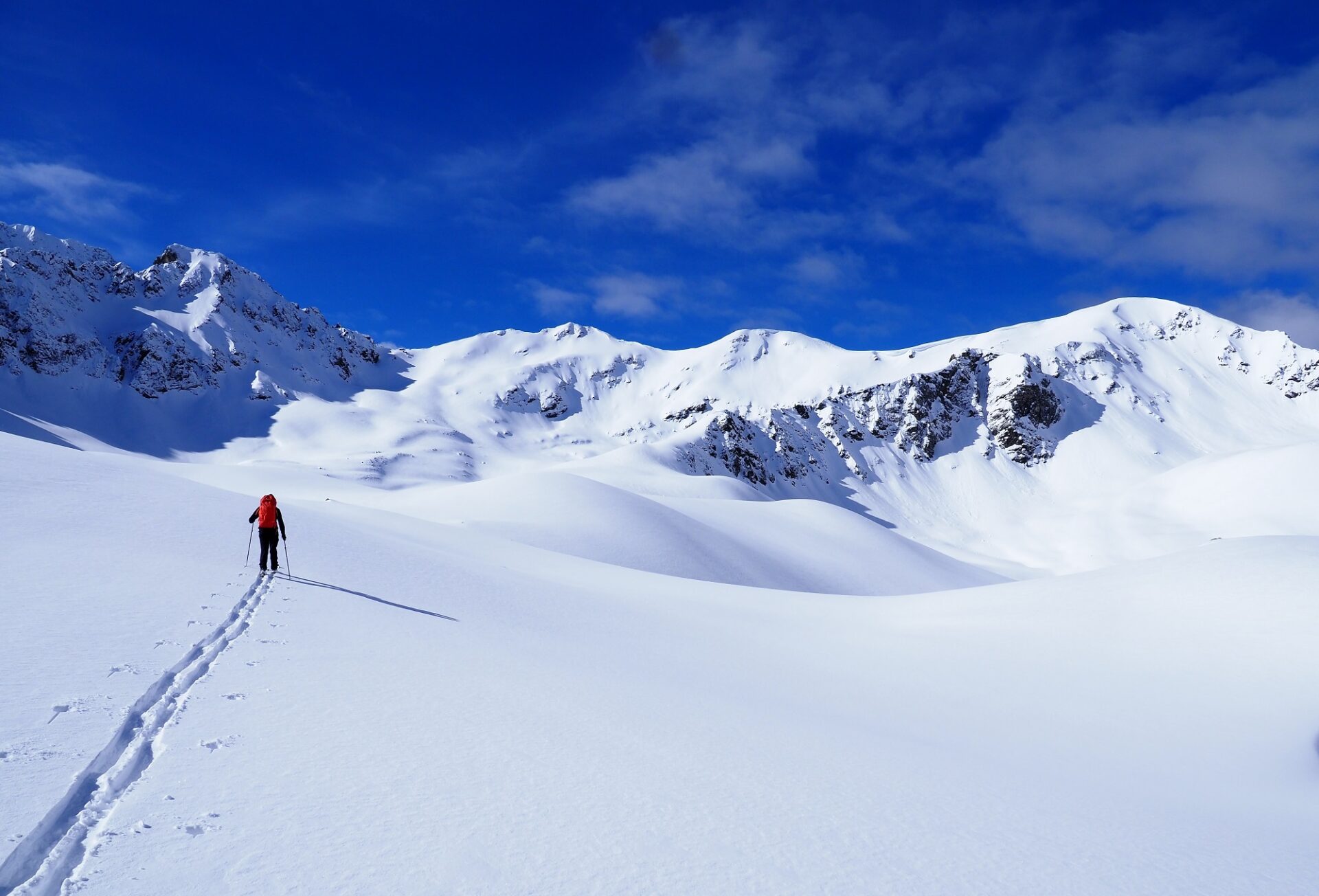
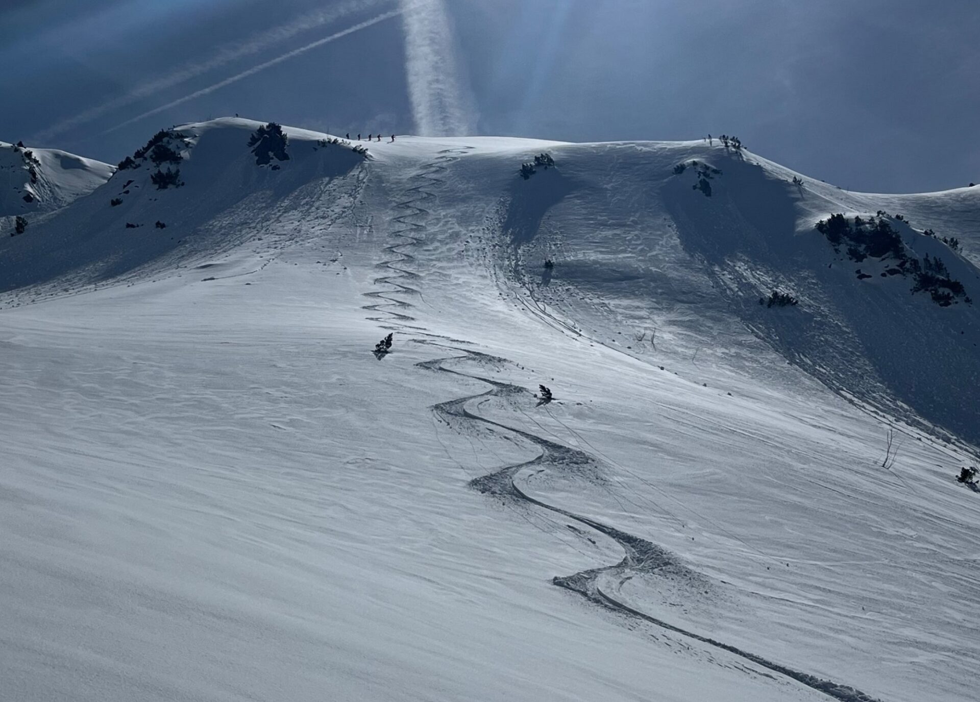
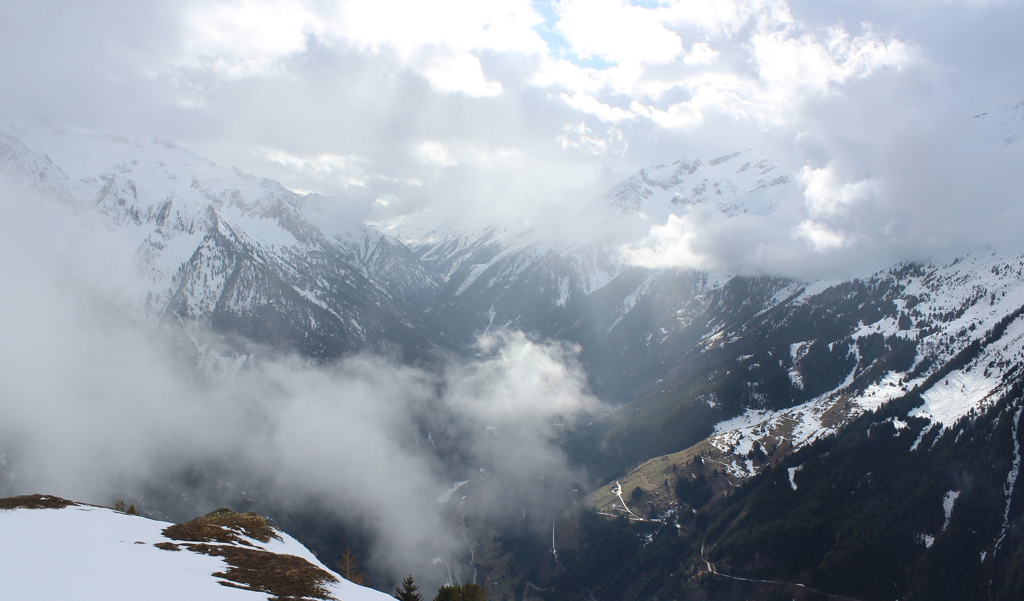
Appropriate for the season, strong solar radiation, rainfall and mild temperatures led (and are still leading) to very wet snow below 2400 m, thus weakening the snowpack. Increasing wet-snow / gliding snow activity is the result. Freshly generated snowdrifts are generally small, but on high-altitude shady slopes prone to triggering. On Saturday, a very sunny start will be followed by a marked cold front, bringing precipitation and plummeting temperatures.
Unfavorable backcountry touring conditions through Friday
On Thursday night skies will be overcast, showers possible, nocturnal outgoing longwave radiation much reduced. Friday will be pleasant, rising temperatures, moist air.
After rainfall and diffuse radiation thoroughly moistened the snowpack up to 2400 m on Thursday (and in the previous days), it can barely radiate warmth on Thursday night. Weather conditions will moisten it further. Danger of wet-snow avalanches thus rises quickly. Due to the first completely wet snowpack, esp. on W/N/E facing slopes where there is little snow, the likelihood of wet loose-snow avalanches triggering and also the danger of wet slab avalanches will increase. As water seeps into the snowpack down to the ground, it also reinforces its tendency to glide over smooth ground.
In addition, the fresh snow from Thursday and Friday (21-22.03) will become moist. For that reason, small-to-medium naturally triggered loose-snow avalanches can be expected on extremely steep high altitude slopes.
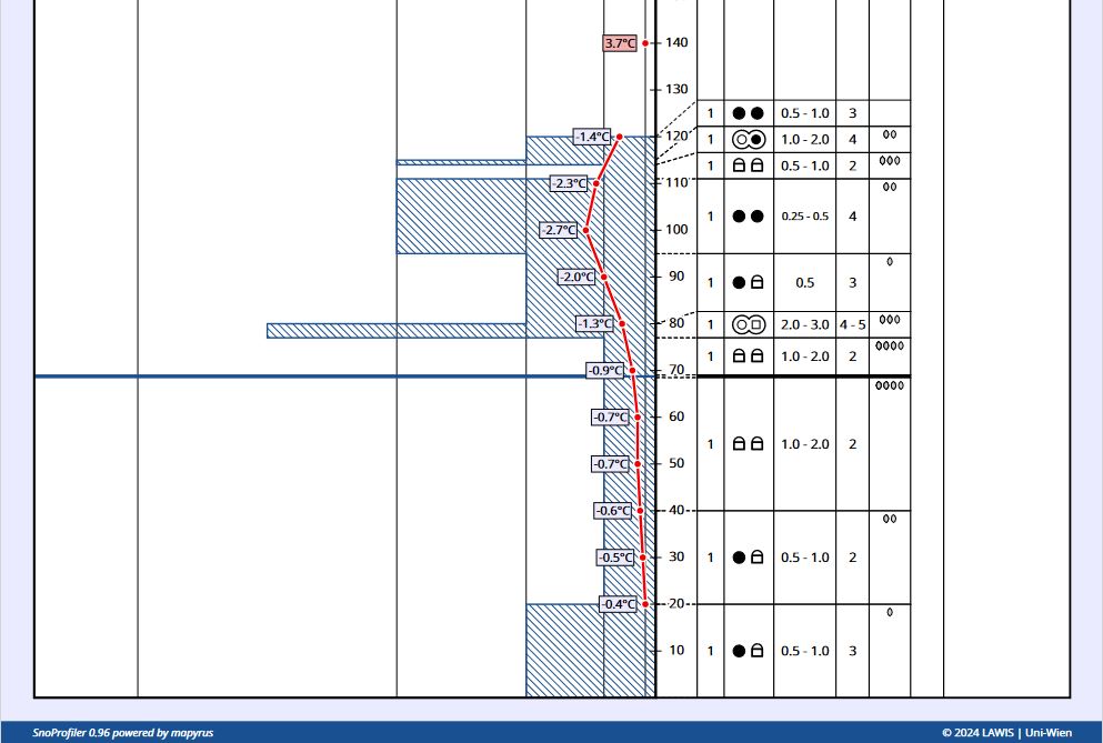
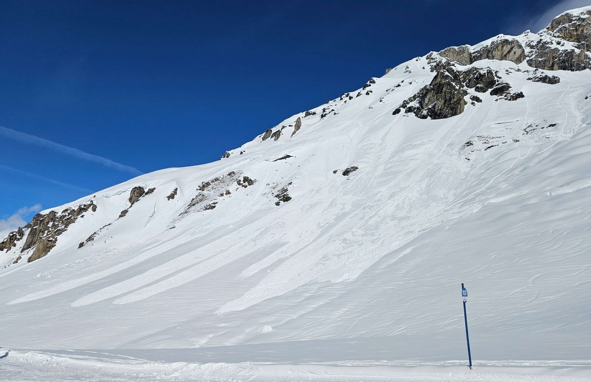
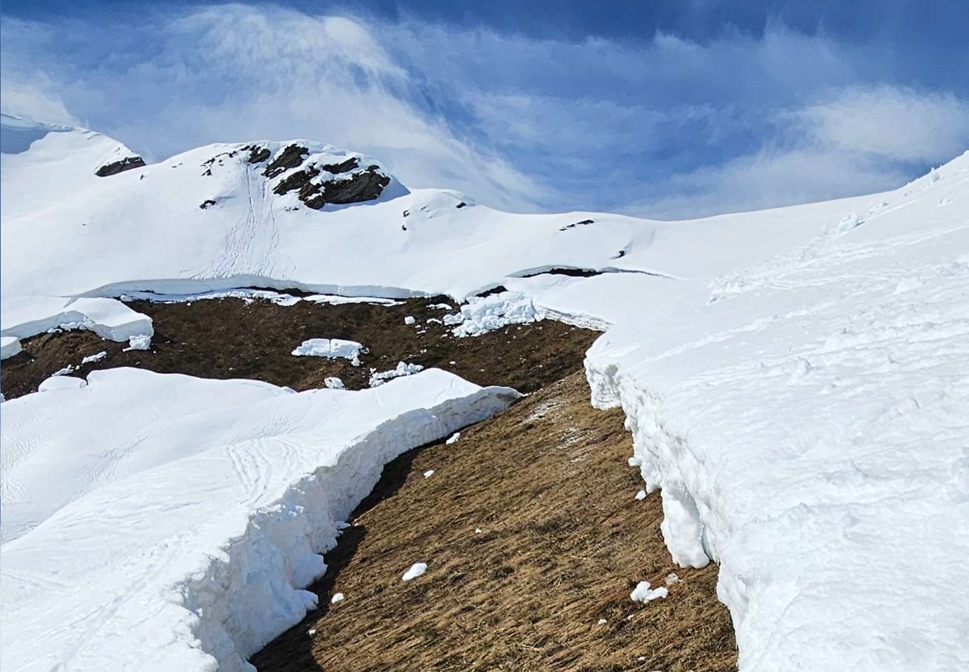
At the same time, warmth inside the snow from higher temperatures and diffuse radiation lead to a very rapid consolidation of the generally small snowdrifts which formed during the recent precipitation on Thursday, 21.03 amid strong NW winds. As a consequence, there are few danger zones for dry-snow avalanches, esp. on very steep shady slopes above 2800 m. In major areas of precipitation, danger zones are more frequent.
Presumably better conditions on the weekend
From today’s point of view, Friday night skies will have only scattered clouds. The snowpack can radiate well, form a melt-freeze crust capable of bearing loads, at least on sunny slopes. This will stabilize the snowpack, make avalanche danger recede. On Saturday morning, if you plan carefully, some good quality firn snow is in the offing (esp. in eastern and southern regions).
However, even if the melt-freeze crust is capable of bearing loads, caution is imperative: wherever the snowpack is very wet, loose, unbonded melted forms lurk. If a firm melt-freeze crust forms atop of that on Saturday night, we will have for a brief time the prerequisites for slab avalanches. The loose melt forms constitute the weak layer, the crust is the slab. Through the loading from winter sports enthusiasts, isolated slab avalanches could trigger from minimum additional weight. This scenario occurs the day after thorough wetness if a melt-freeze crust forms due to dry air masses. Precisely then is the weak layer quite striking, composed of melted forms. On the following days, the water contents of this layer decrease, thereby the danger is muted, as is the fracture propagation.
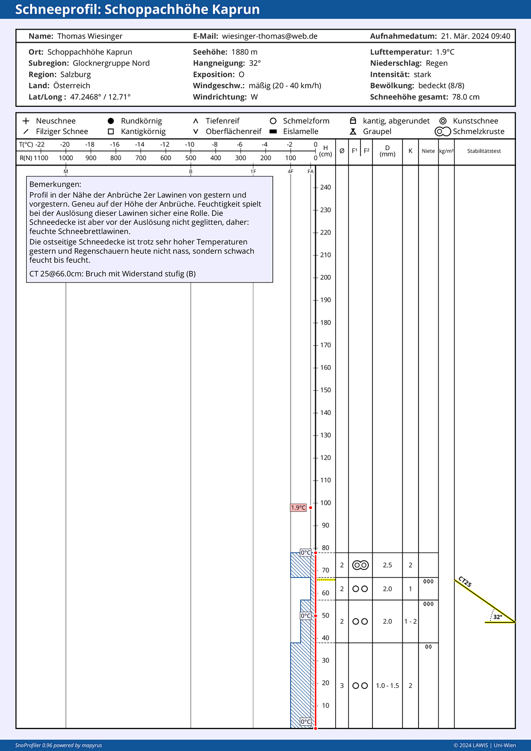
On Saturday 23.03.2024, a cold front will move in, making temperatures plummet. Widespread snowfall in the mountains (5-15 cm).
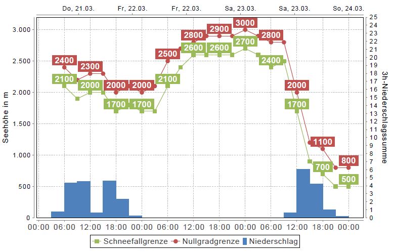
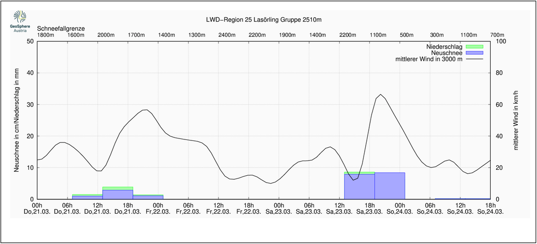
Sunday will be wintery cold, and sunny esp. in southern regions. Solar radiation will again cause small naturally triggered loose-snow avalanches in steep rocky terrain. Due to low temperatures, the snowdrift accumulations which are generated by strong westerly winds will often be prone to triggering.
Next week will be highly variable, as the juncture of the season dictates. But all in all, the avalanche situation won’t change.
Mercurial conditions in review
