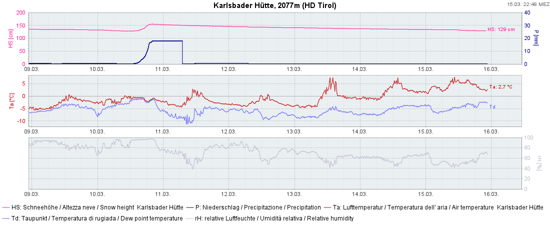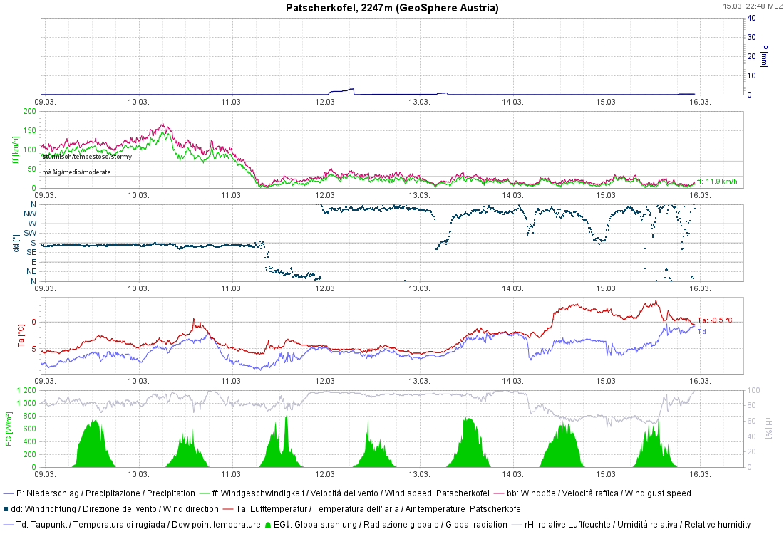
Last week was marked by highly variable weather. Focus of precipitation was the southern regions. Slab avalanches were triggered in near-surface layers. Numerous loose-snow avalanches released because of the higher temperatures and diffuse light immediately after the snowfall. Glide-snow avalanches were more frequent. Snow quality was low. At high altitudes there was (for a brief interim) good powder in some regions. Things will remain variable. The wetness of the snowpack is increasing. We’re concentrating our attention on the near-surface layers of the snowpack, as well as the latent danger of glide-snow avalanches.
Current situation
Weather
A weak cold front is bringing some precipitation to North Tirol and northern East Tirol, focal point in northwestern regions of North Tirol. Above 2000 m, 10-20 cm of fresh snow is anticipated, more from place to place. Elsewhere, mostly 10 cm, less further south. The NW winds will intensify.
Snowpack
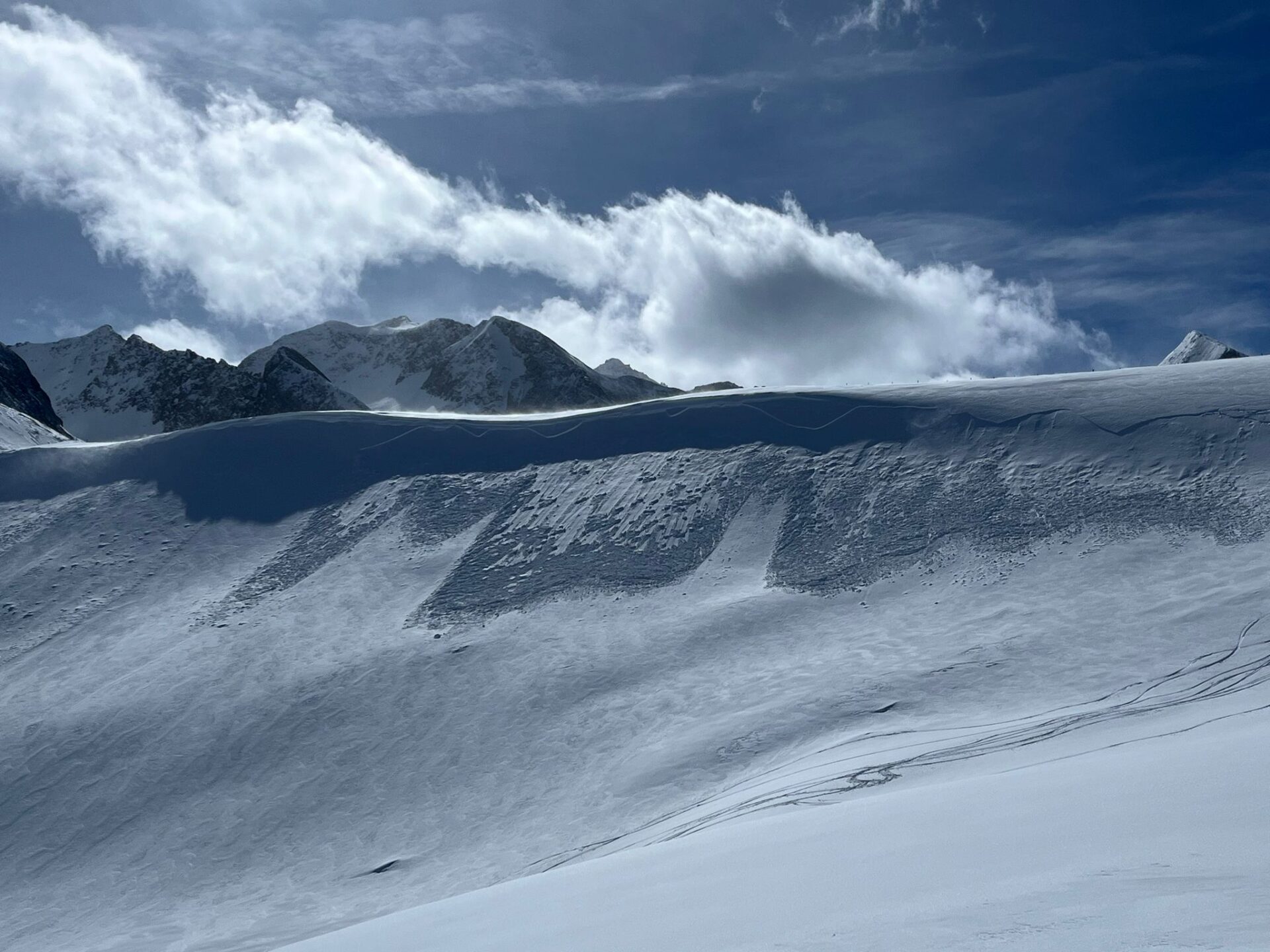
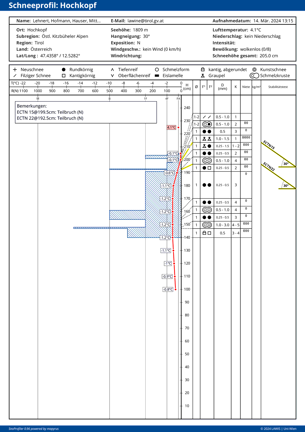
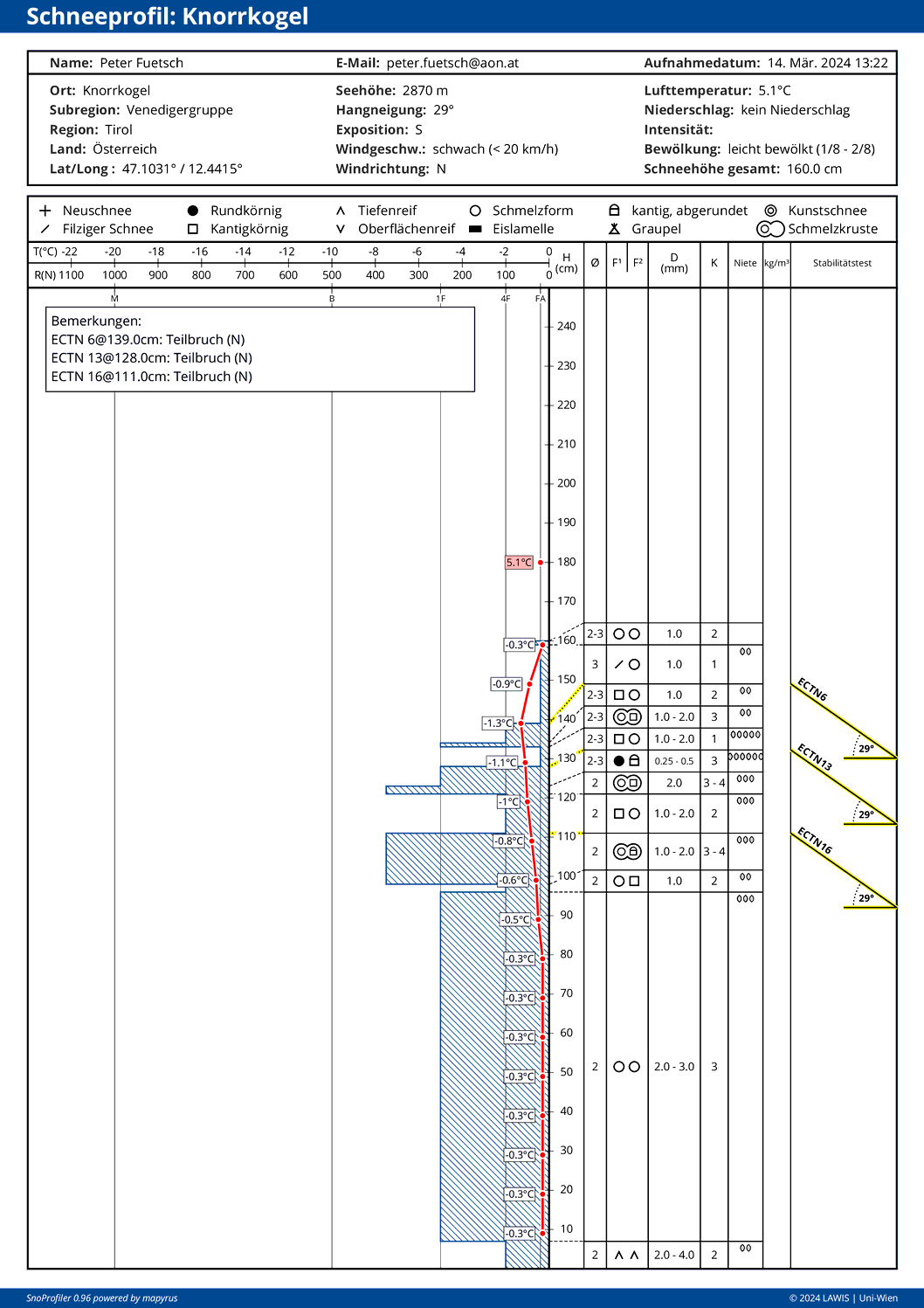
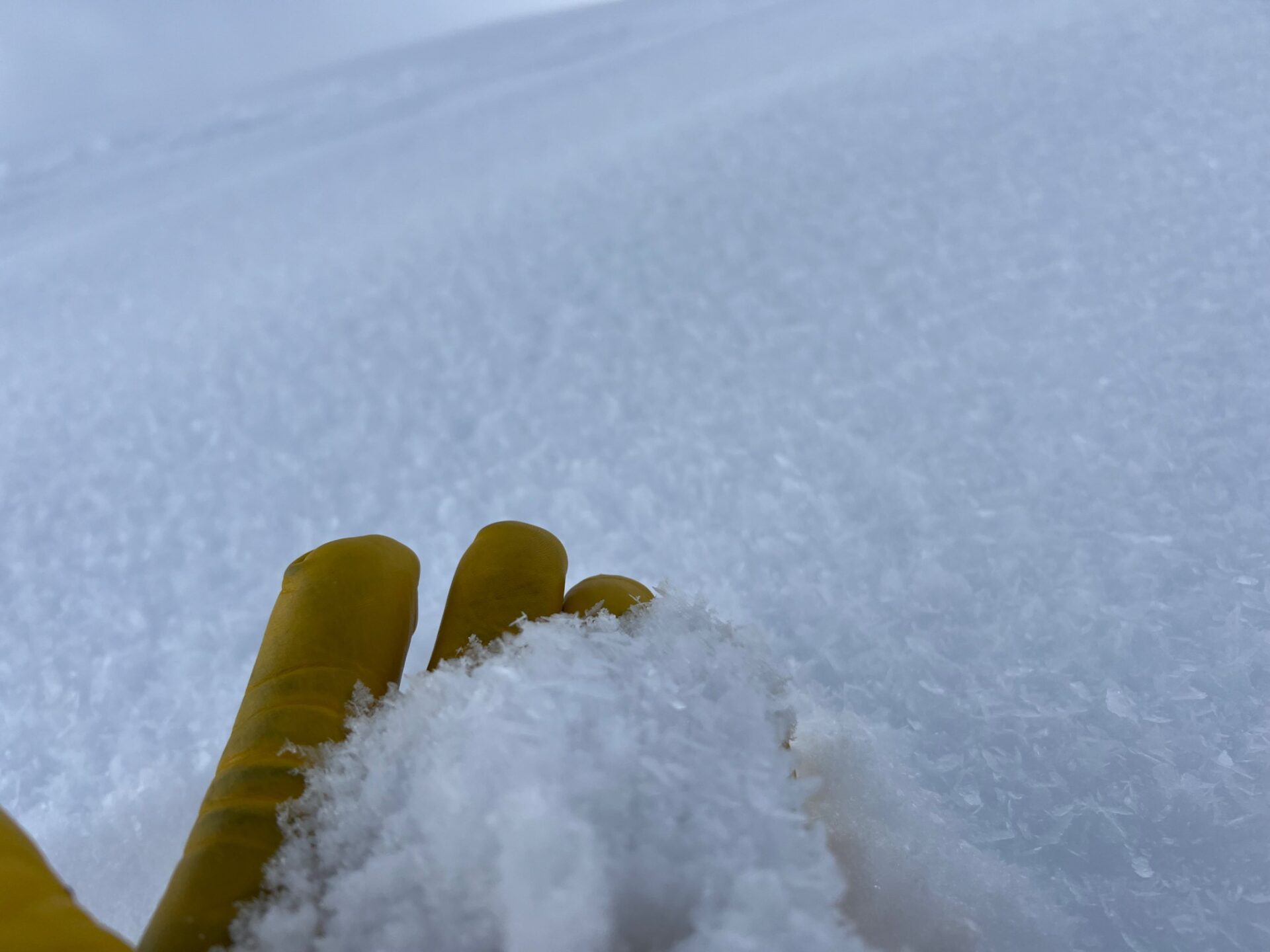
The highly variable weather conditions are mirrored in the snowpack layering. Near the surface a sequence of crusts and softer layers. Repeated patches of graupel. On shady, esp. ridgeline slopes at high altitudes, sometimes surface hoar (Nigg-Effect). Graupel and surface hoar were significant weak layers for a spell last week. In the meantime the near-surface layers have consolidated well with each other. Caution still required near ridges on very steep shady slopes at high altitude: possibly there is still blanketed surface hoar.
In case of snowfall, we again have to keep an eye open for covered surface hoar and short-term weak layers in the fresh snow. The old snowpack is generally homogenous and stable, there are few marked weak layers.
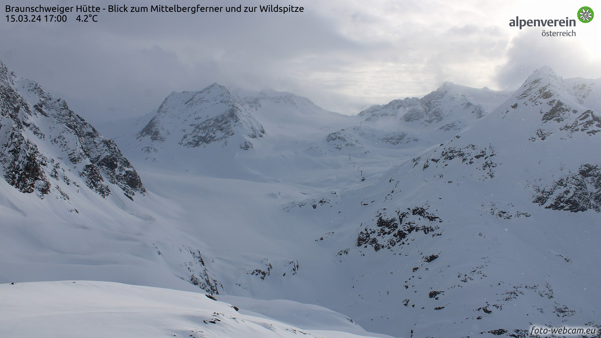
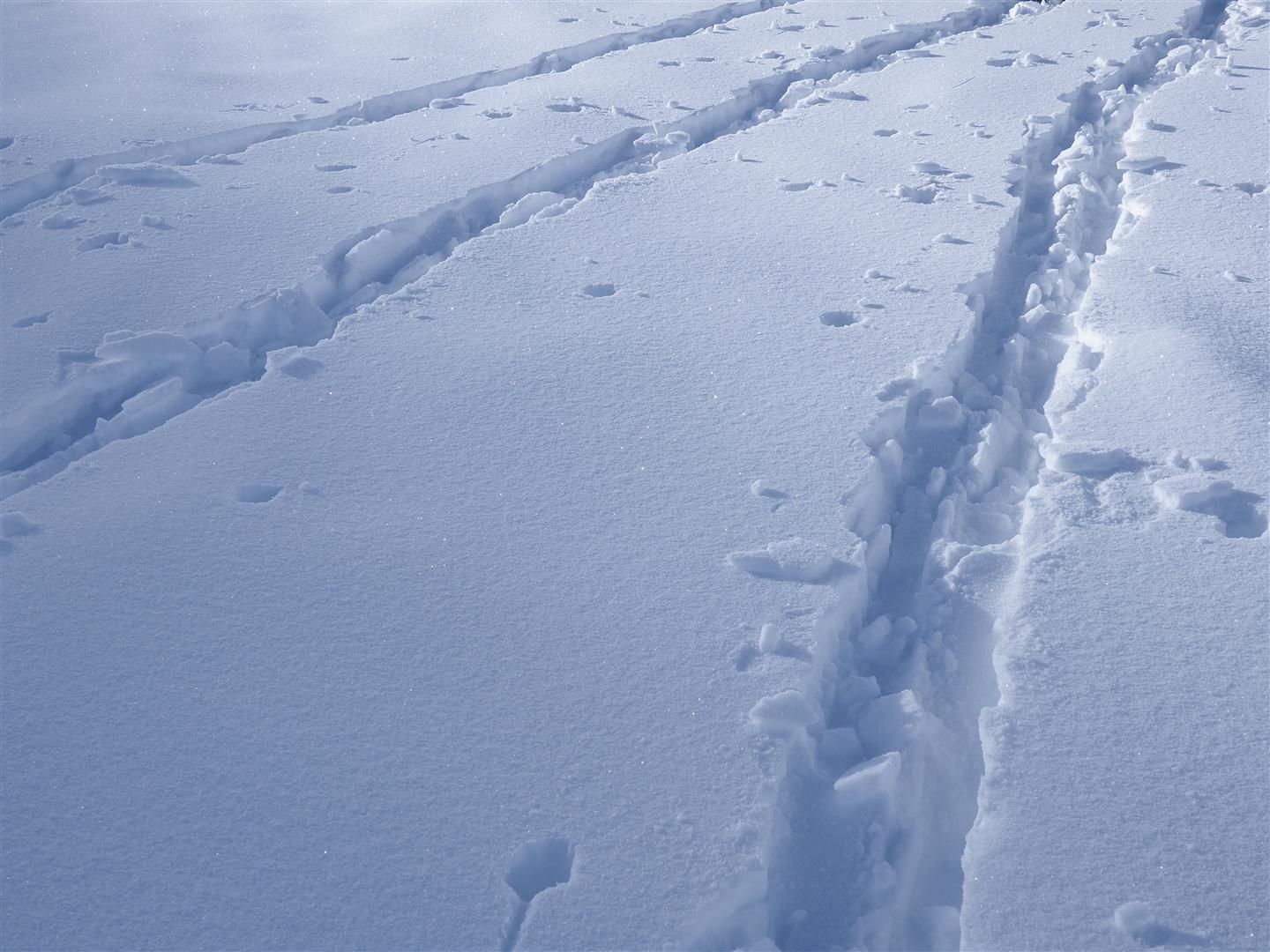
The snow cover is becoming increasingly moist from the top down and nearing the 0°C-Isotherm level in some aspects and altitudes. This applies esp. to shady slopes at 2000 m and to very steep sunny slopes at 2700 m and below.
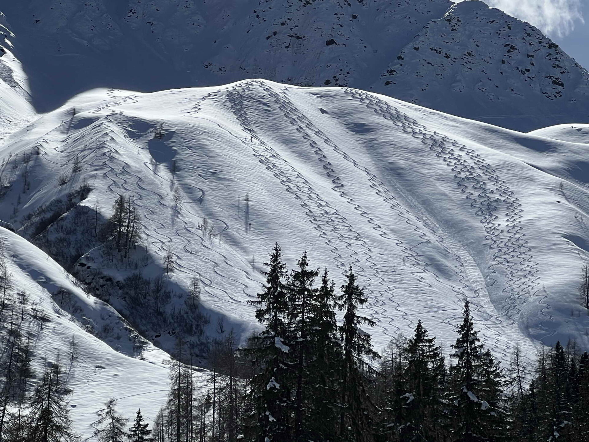
Good powder only for a brief spell – snow quality predominantly poor
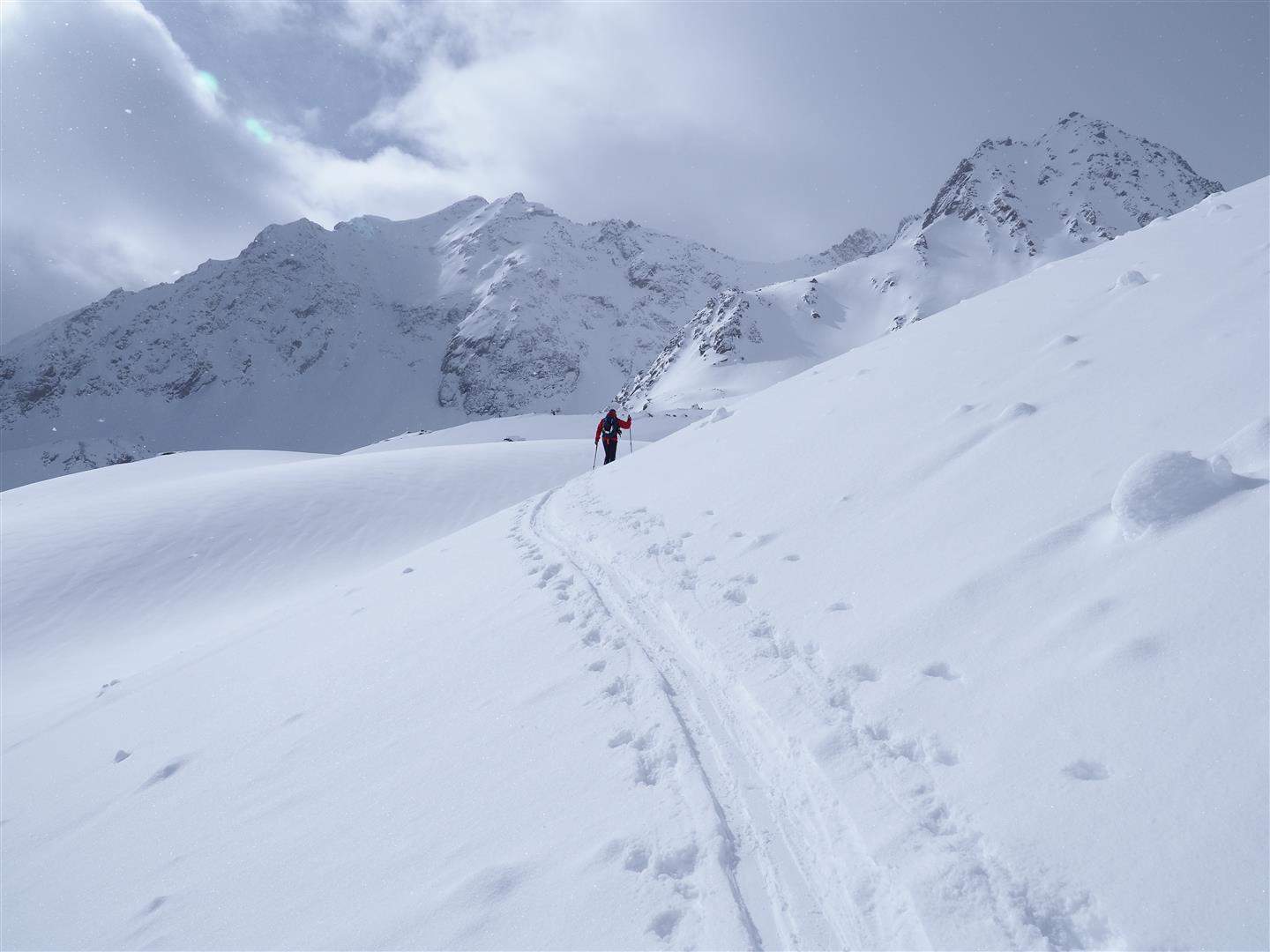
In springtime, meterological factors have far greater impact on the snowpack and avalanche danger. Also on snow quality. Beautiful powder from the precipitation of 10.03 rapidly became moist due to diffuse radiation (except on shady slopes at high altitudes). Breakable crusts were the consequence. One of our observers described the situation this way: “Unless you really have to, you’re better off skipping the ski tour or switching to snowshoes, because of the snow quality.”
Avalanches
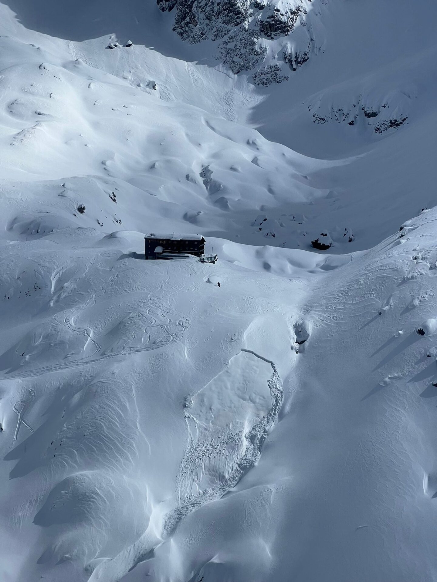
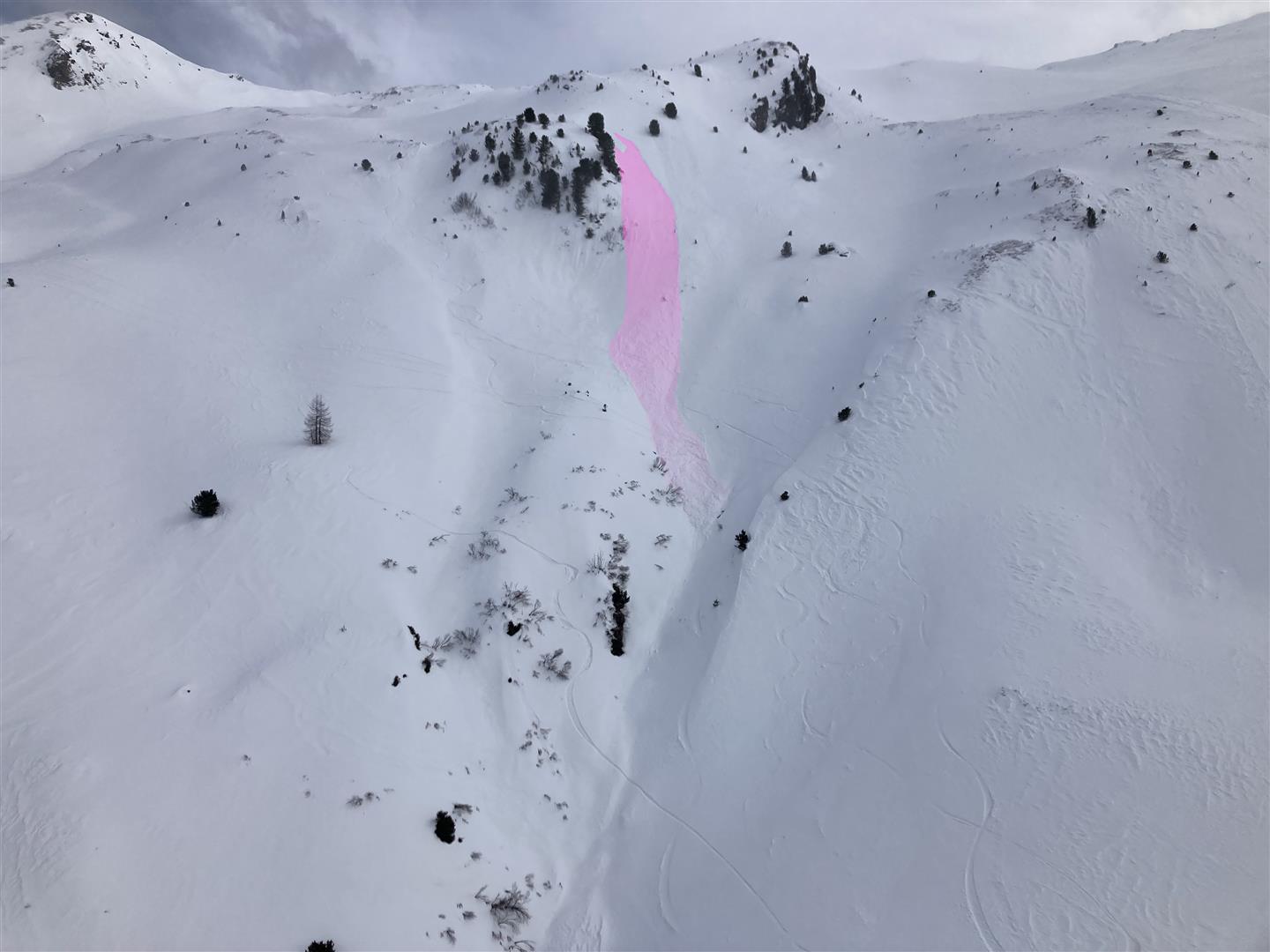
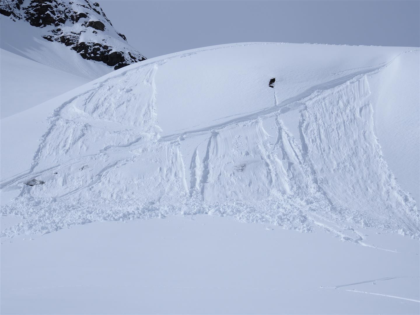
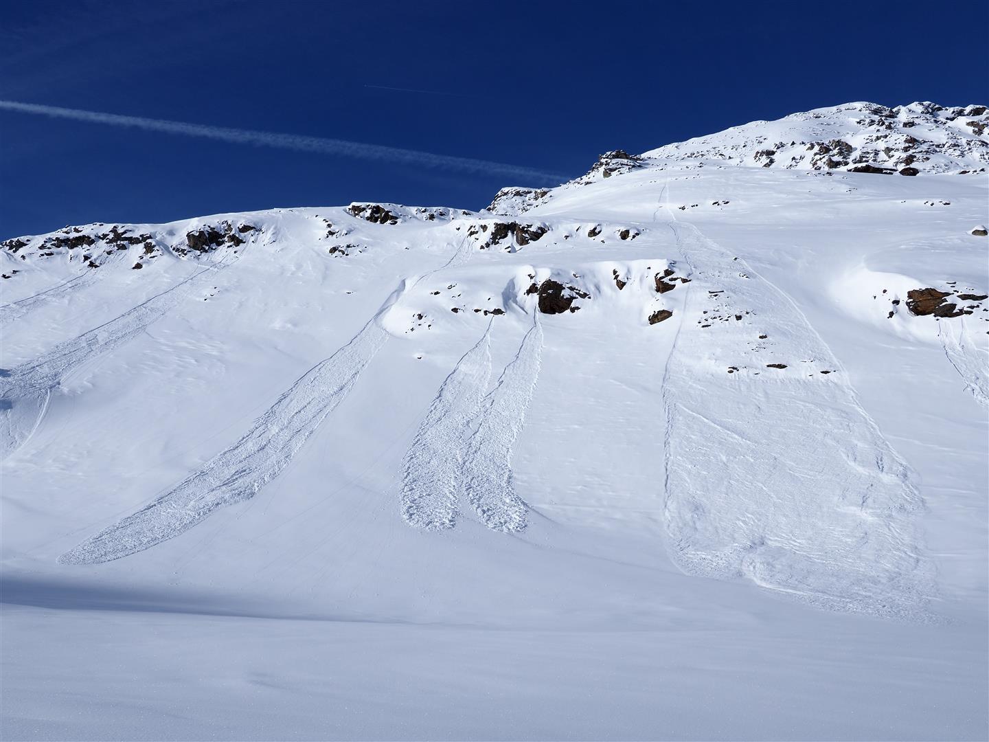
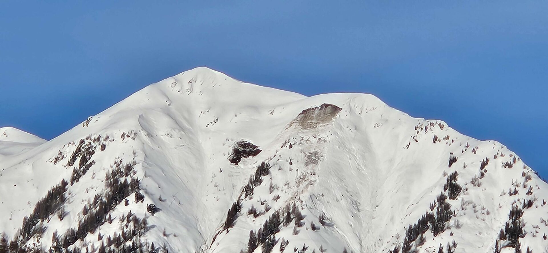
The fresh snow on 15-16.03 turned moist due to higher temperatures and diffuse radiation. Numerous, mostly small-sized loose-snow avalanches were then observed in extremely steep terrain. Also glide-snow avalanches (still with us). Slab avalanches are not expected, if at all, then on shady, very steep, usually ridgeline slopes at high altitudes due to surface hoar. Only in the regions of the northwest where snowfall has been heavy, brief weak layers inside the fresh snow (graupel, powder) are significant, depending on what lies on top of them.
A short review
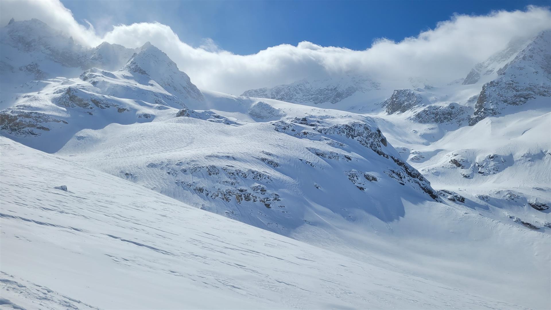
Intermittently storm-strength winds and fresh snow in the southern regions were the memorable weather moments last week.