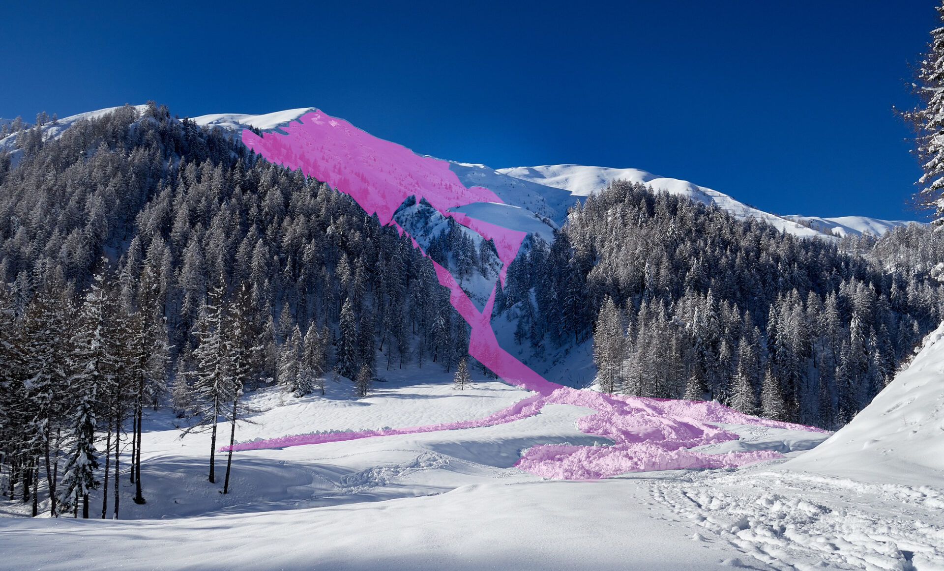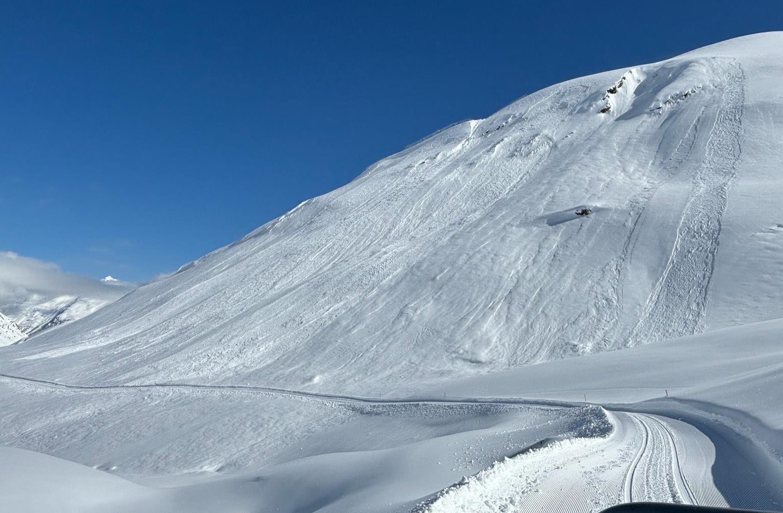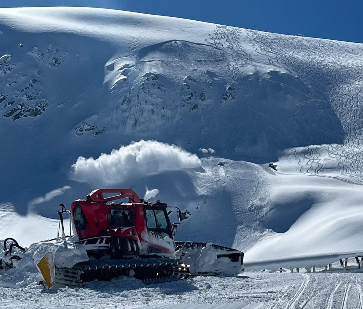
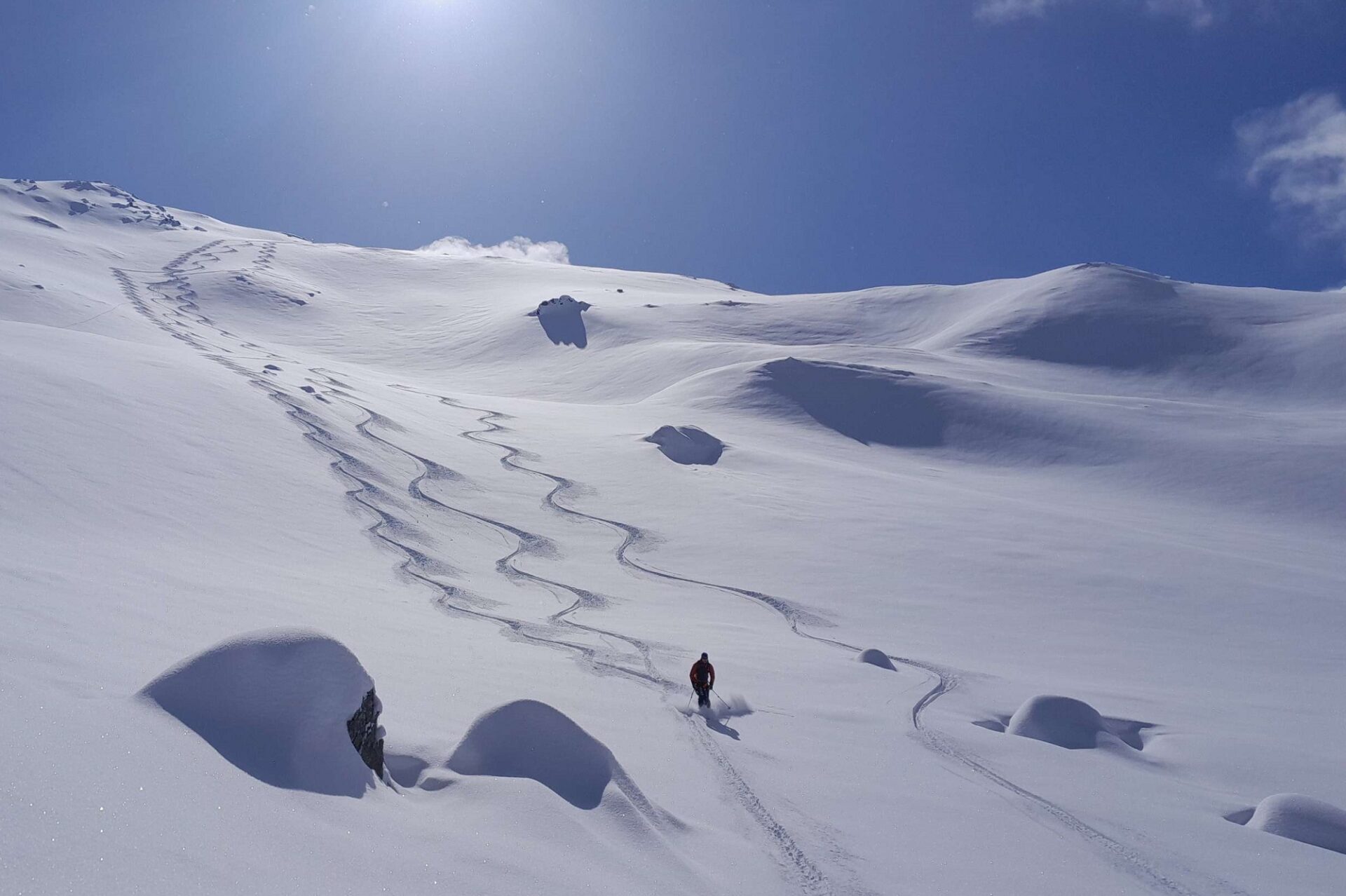
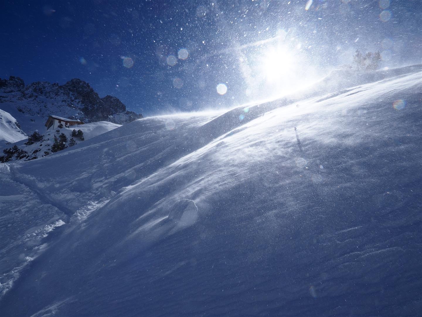
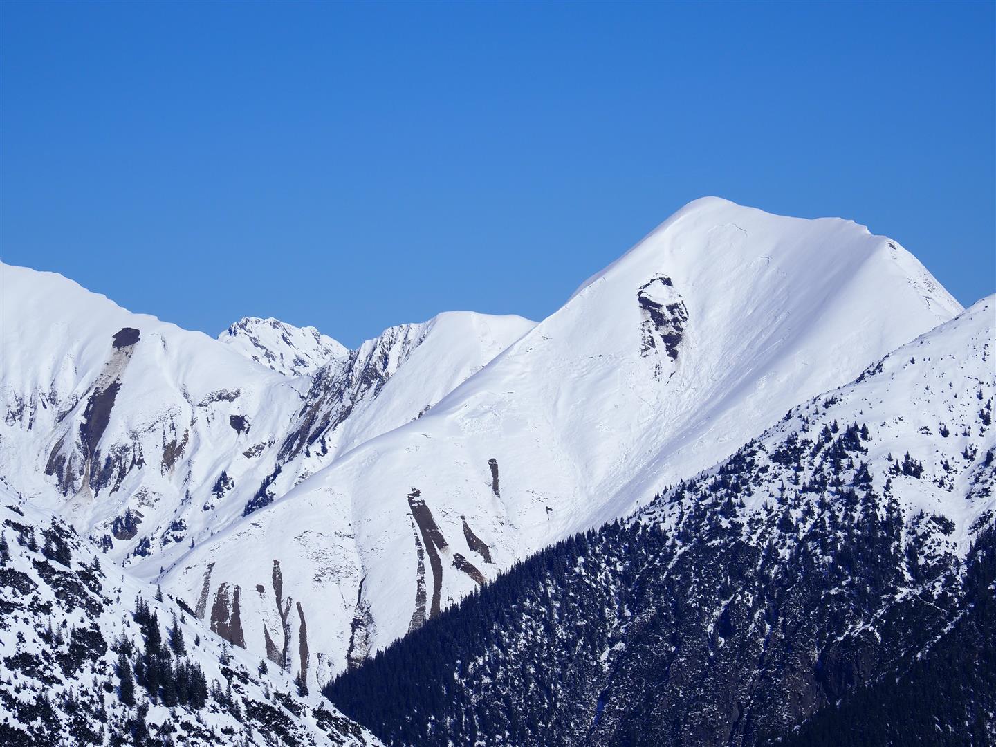
The frequently loose fresh snow from mid-week is about to be transported far-reachingly by intensifying southerly foehn winds. Numerous snowdrift accumulations are being generated which can be triggered by 1 person, particularly on steep shady slopes. The drifted masses are easily recognized pending good visibility, and should be circumvented.
Current situation
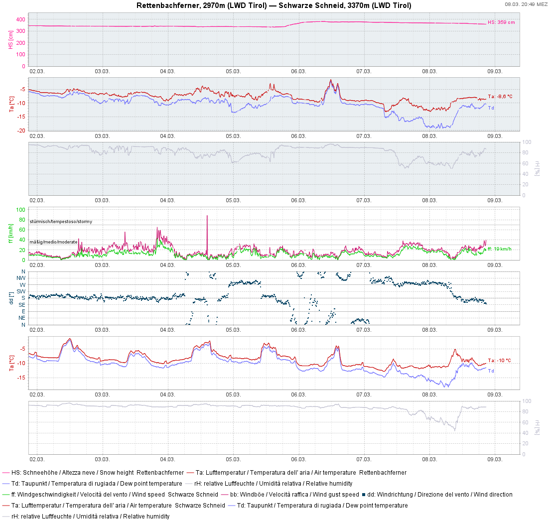
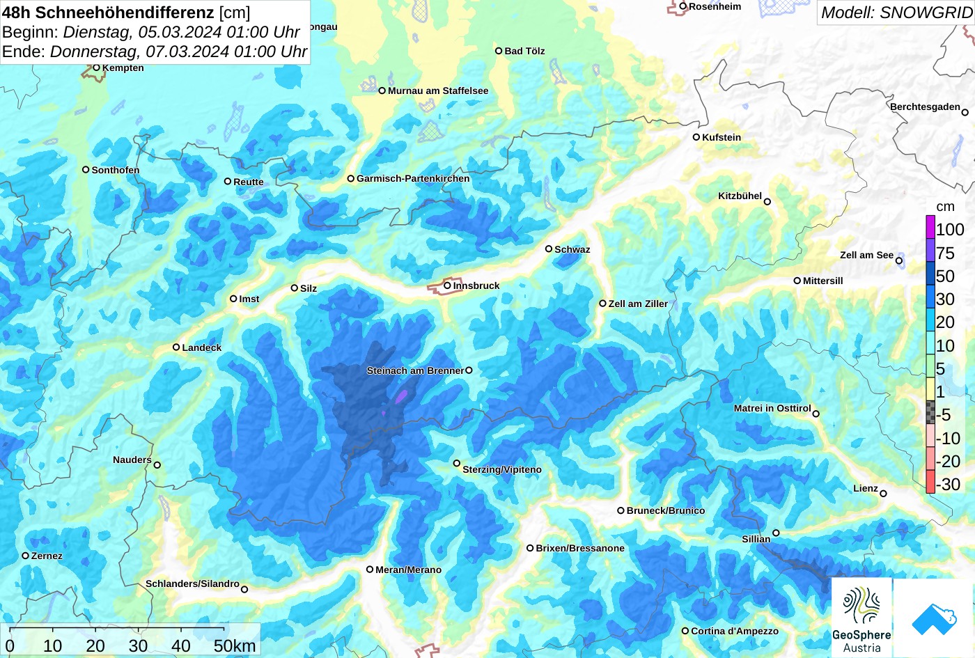
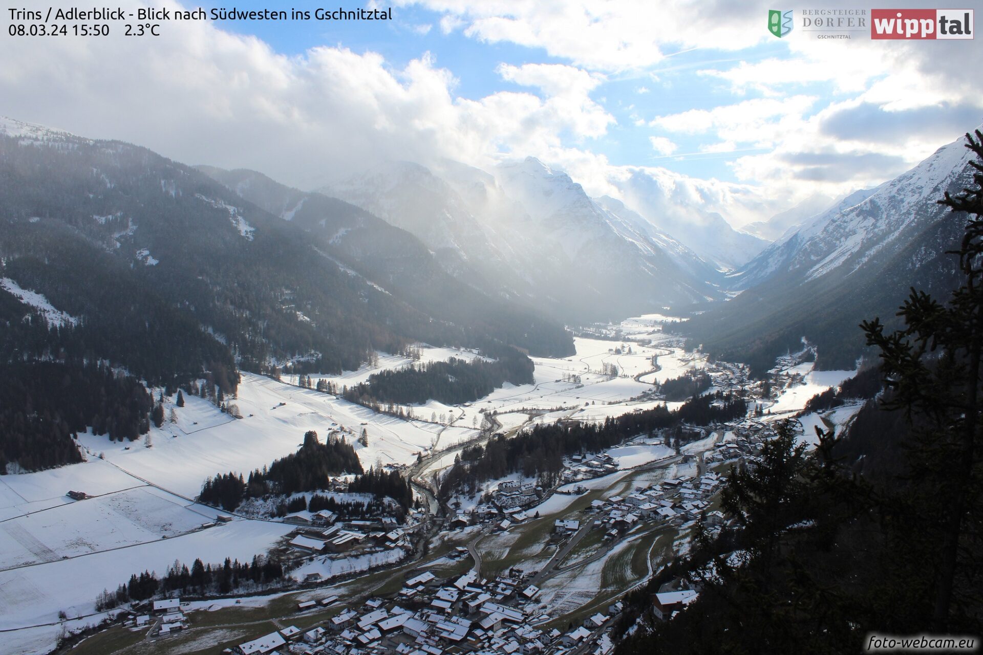
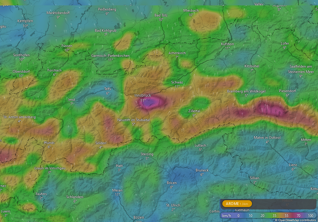
A southerly airstream is bringing strong southerly foehn winds to North Tirol which will intensify further as the weekend nears. In East Tirol moist air masses will create heavy cloud cover and some precipitation. The snowfall level will lie between 1200 and 1400 m.
The fresh fallen snow from last Wednesday, 06.03, fell largely without wind. On steep sunny slopes and in general up to about 2200 m, sun, warmth and diffuse radiation has already moistened the snowpack. A near-surface melt-freeze crust has already formed.
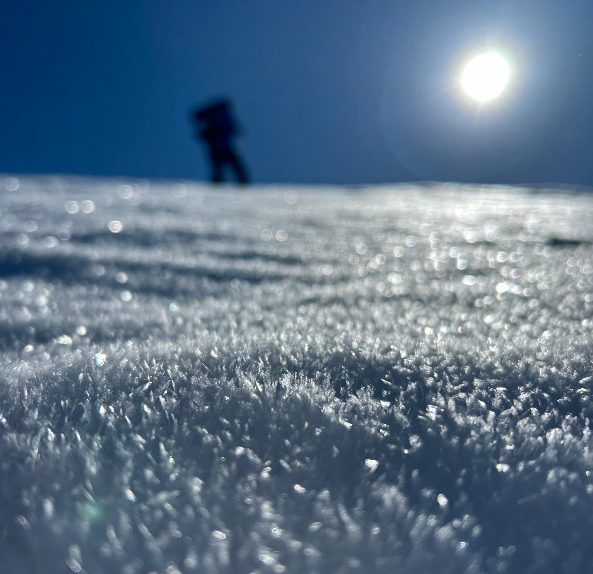
On shady slopes and with ascending altitude also in other aspects, the fresh snow is still unbonded, in some places surface hoar has formed. As a result of the southerly foehn wind these loose layers will be transported and deposited atop soft layer of loose fresh snow and surface hoar on wind-protected shady slopes. Fresh snowdrift accumulations are prone to triggering there, can easily be triggered by 1 person. Particularly in the regions where snowfall on Wednesday was heavy, avalanche prone locations can be numerous and avalanche releases reach medium size.
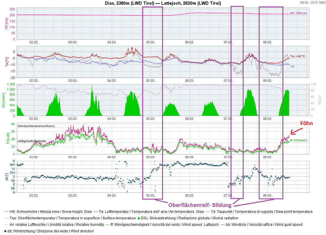
In isolated cases, near-surface avalanches can fracture down to more deeply embedded weak layers of the snowpack, particularly in the southern Ötztal Alps on very steep shady slopes above 2400 m.
Short review
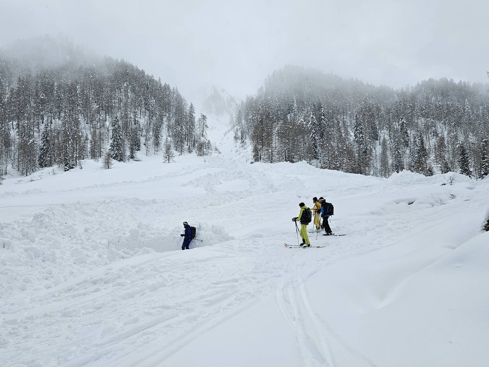
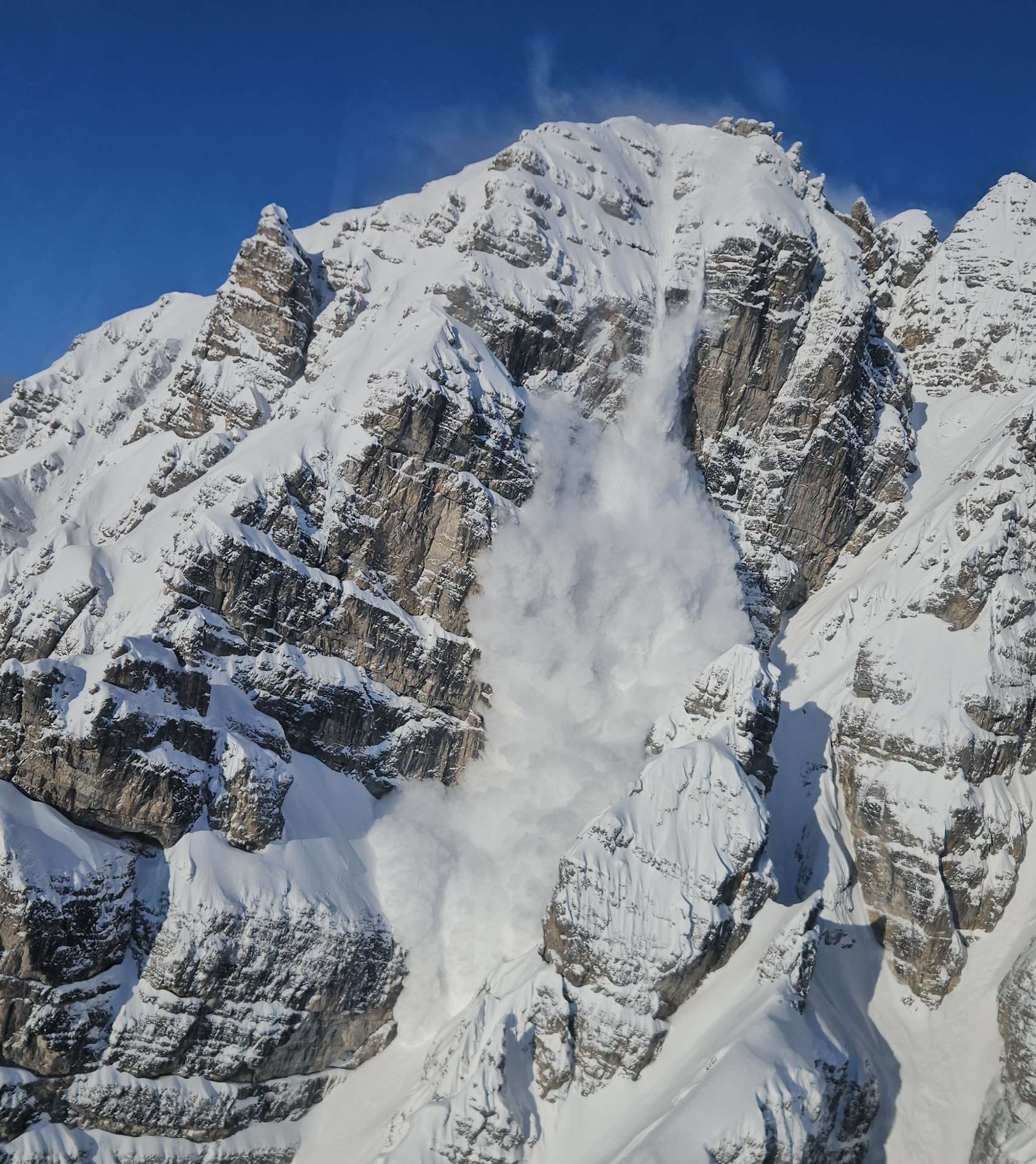
Avalanche activity since last Wednesday’s precipitation (06.03) shows stark parallels to the events at the beginning of December and towards the end of February:
- Marked weak layer in uppermost part of snowpack
- Heavy snowfall
- Little wind
- Dropping temperatures
- What these developments had in common was also that high avalanche activity was observed while all of it was happening, but the proneness to triggering swiftly receded afterwards. This rapid decline of avalanche danger was unexpected in this case, in view of the blanketed surface hoar. We received very few reports of avalanches involving persons. Also the reports of our observers corroborated the quickly receding danger. We explain this oddity, daytime rise in temperature on 06.03 and very solid formation of a slab, by the high number of already triggered releases. We also expected some naturally triggered slab avalanches yesterday due to improving weather conditions and further bonding of surface layers. However, the actual peak was reached already on 06.03. This confirms once again that we have arrived in springtime. Small changes in weather have huge consequences on avalanche danger, both in positive and in negative ways.