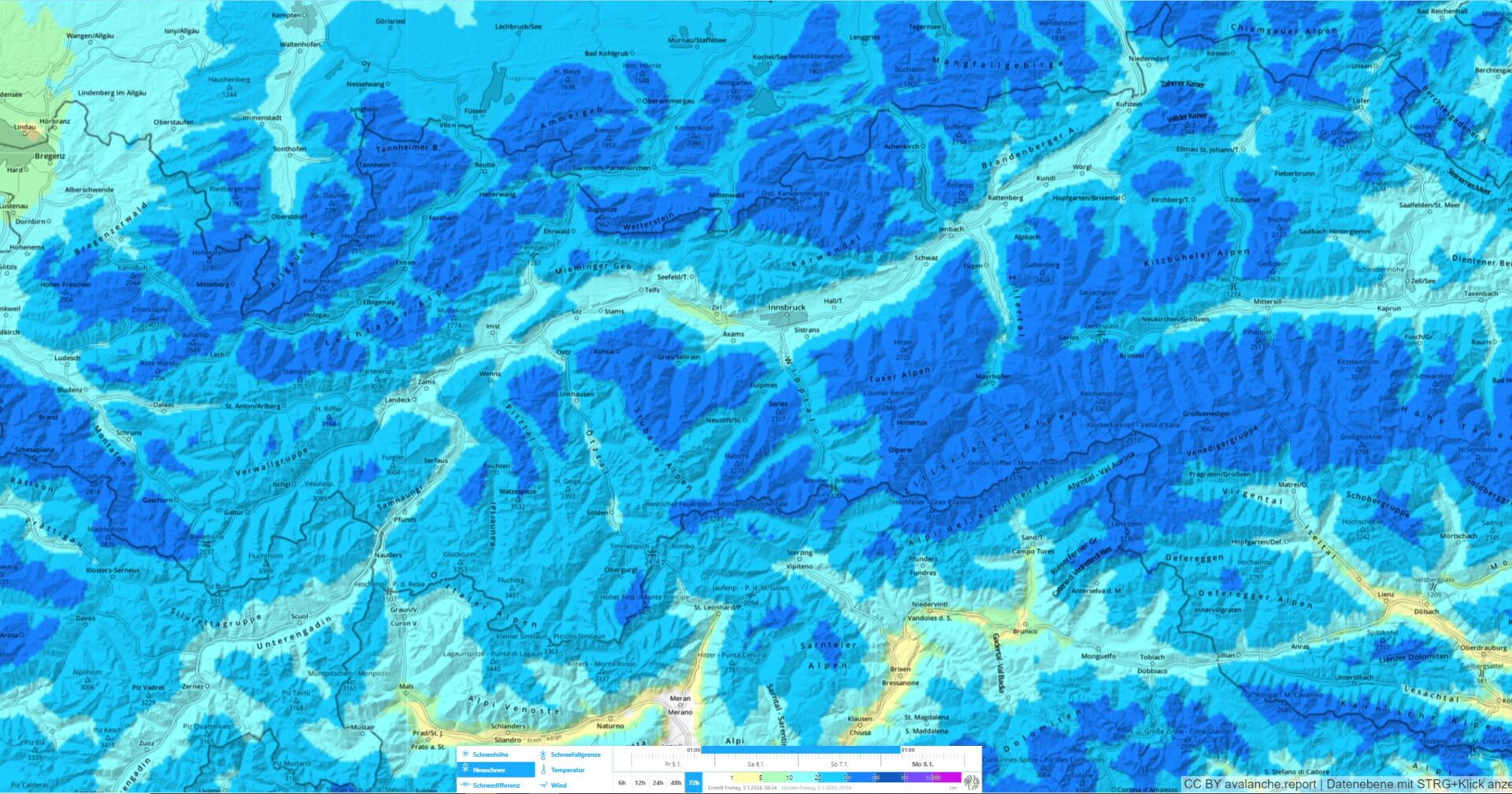
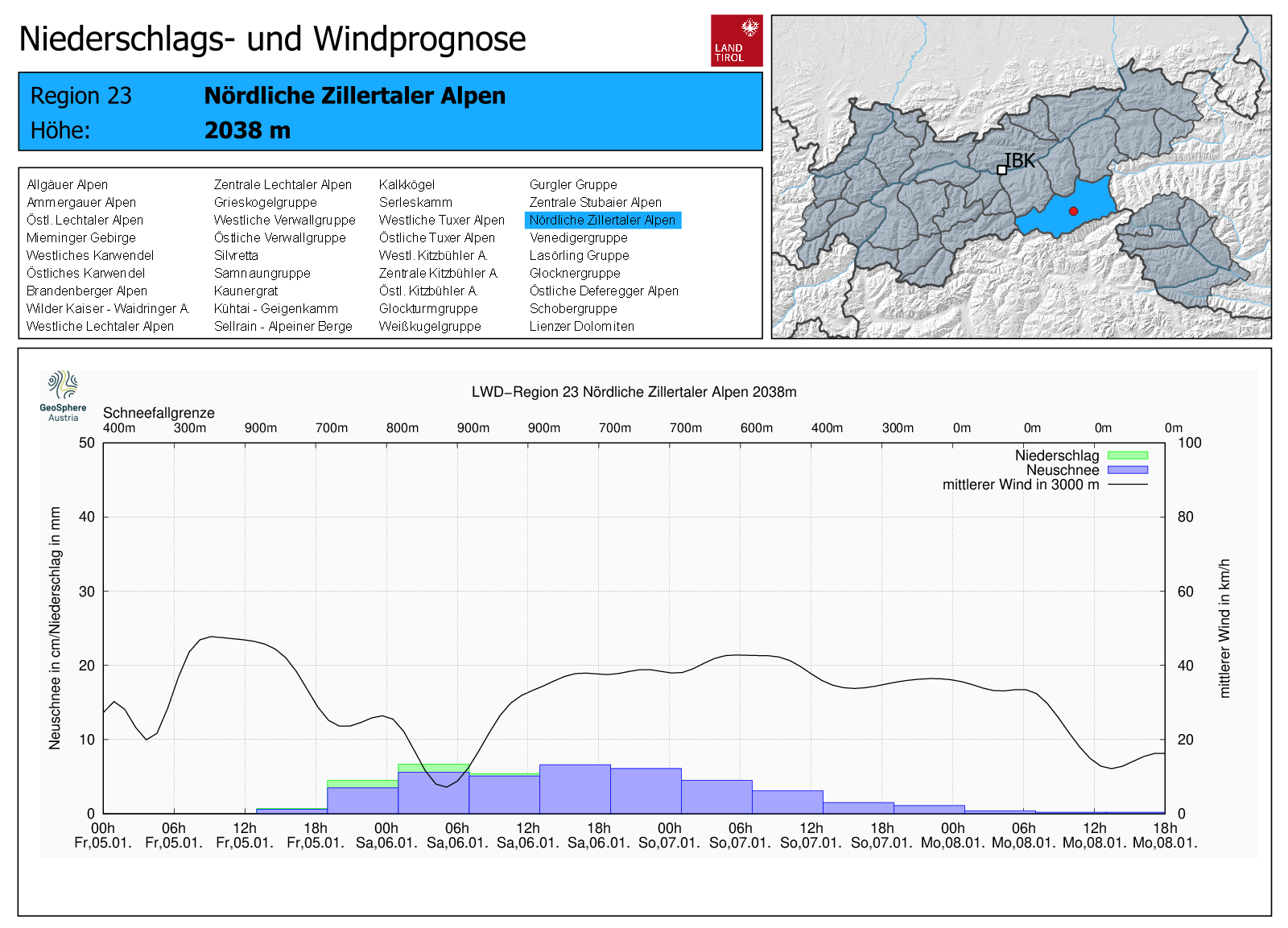
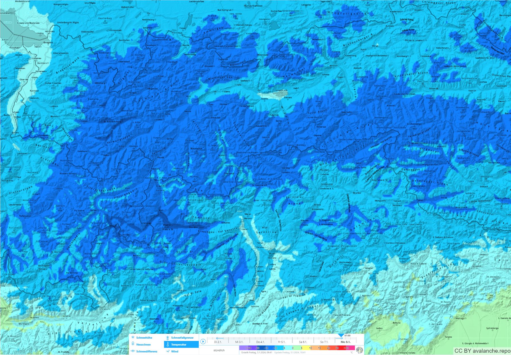
By the end of Sunday, 07.01.2024, 20-40 cm of fresh snow is expected in Tirol, more from place to place. The snow will often fall without wind impact, in some places with moderate influence. Wherever there is wind, easily triggered snowdrifts will accumulate. For that reason, avoid fresh drifts in steep terrain. If winds become stronger, small-to-medium naturally triggered slab avalanches will be possible, esp on Sunday in very steep terrain.
Fresh snowfall is in sight, regionally with wind, and it is turning cold
Geosphere Austria (GSA) forecasts 20-40 cm of fresh snow for the weekend, locally more. Initially the snow will fall without much wind influence. Tomorrow, Saturday, winds along the Main Alpine Ridge and in East Tirol are expected to be moderate. That’s enough to transport the snow when the temperatures are low.
The snowdrifts will then be deposited on top of loose, cold fresh snow. That is a genuine weak layer. Fresh snowdrifts can thus be easily triggered by winter sports enthusiasts.
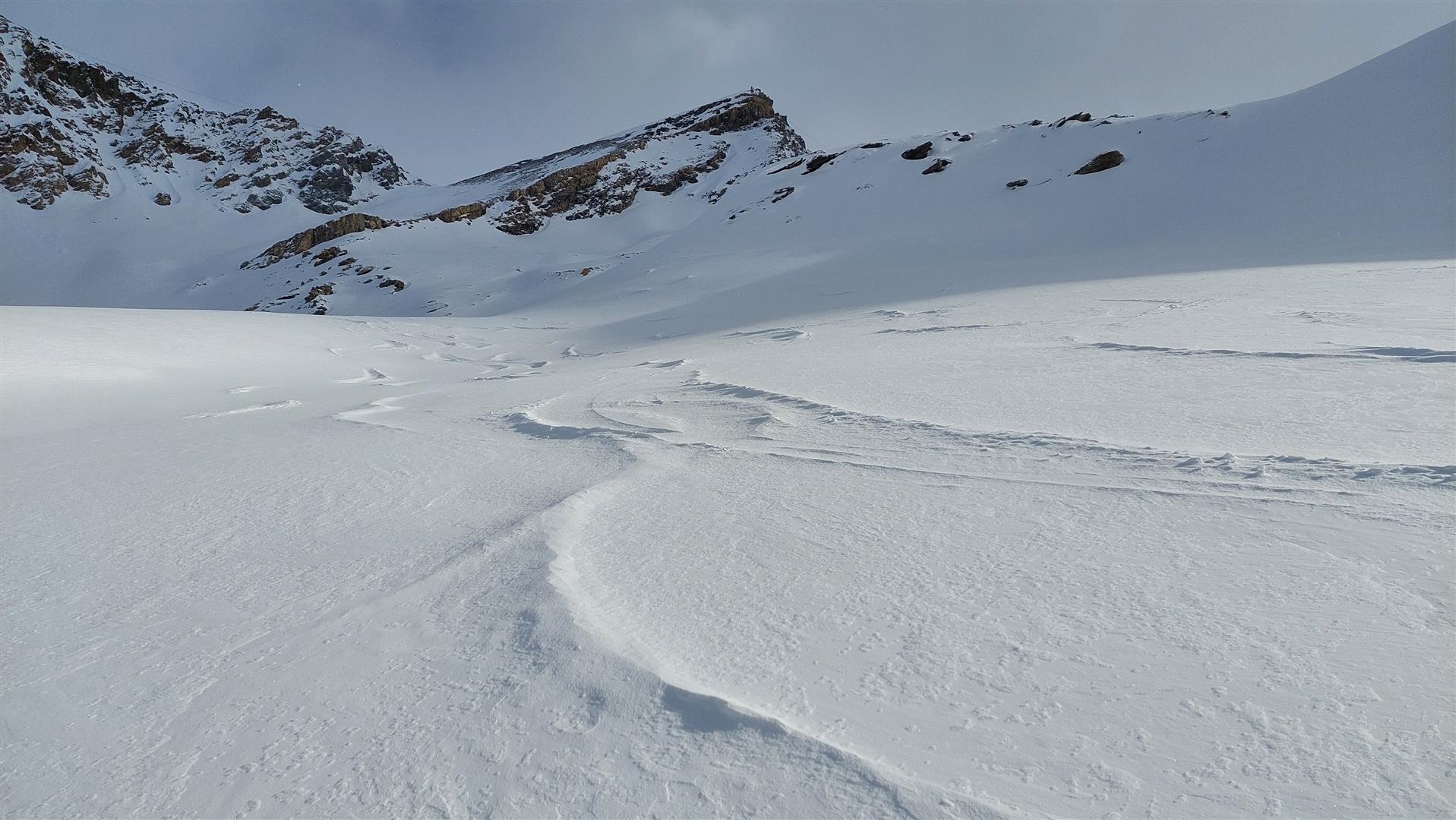
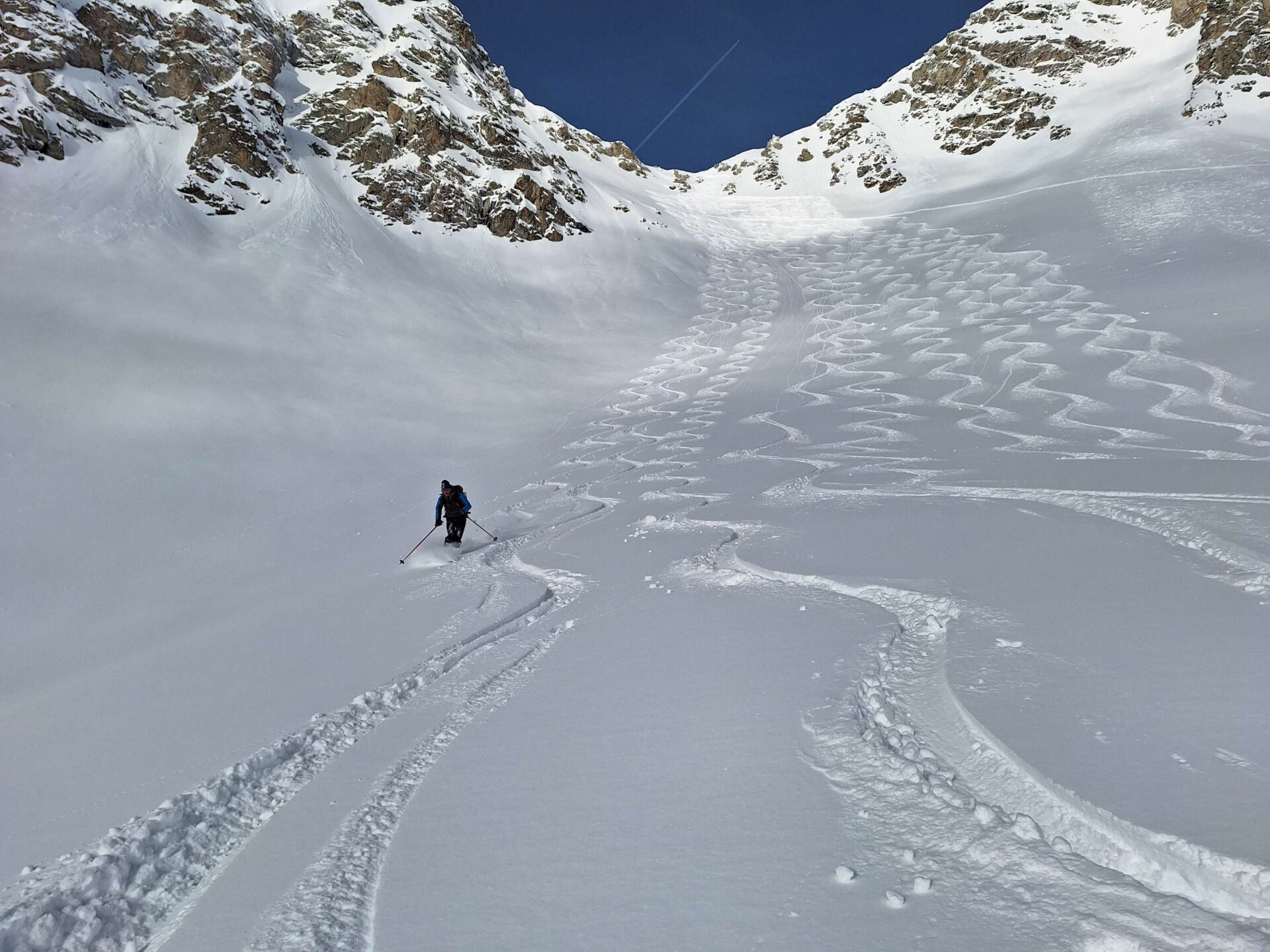
Apart from the wind-impacted regions, on the other hand, good powder snow can be enjoyed without danger (exception: in extremely steep terrain and near glide cracks).
Review of last week
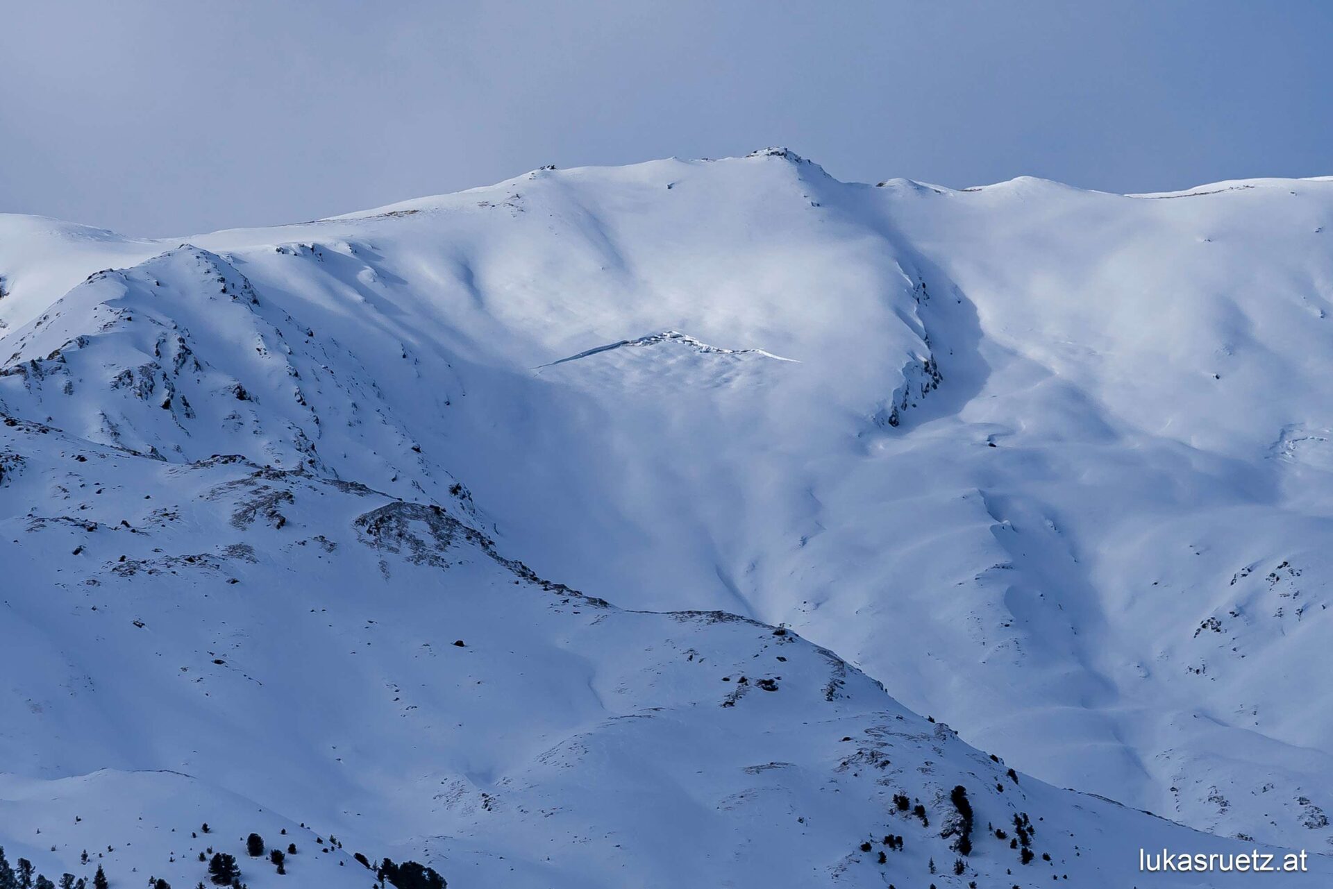
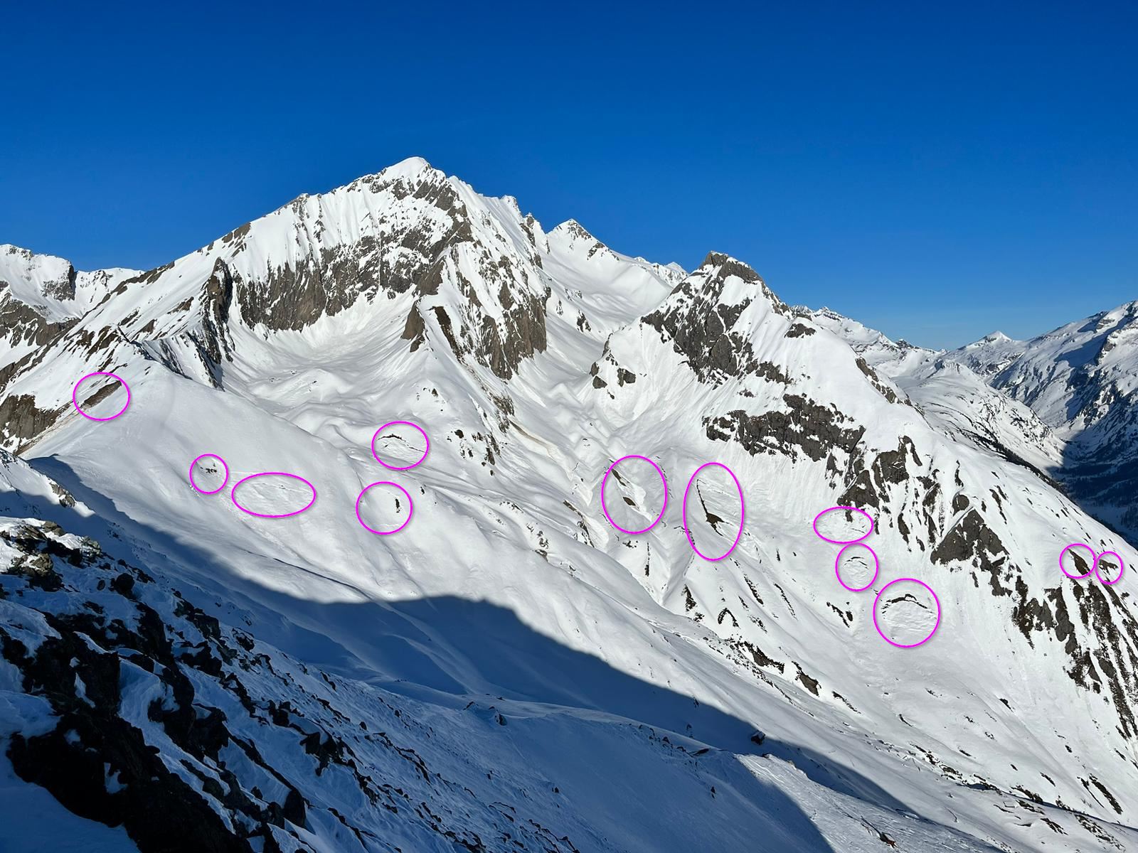
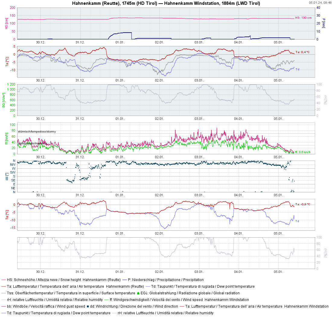
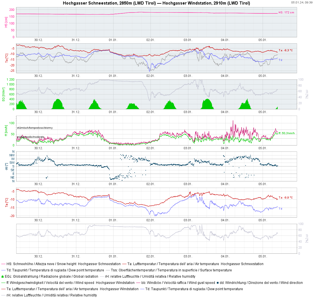
Repeated bouts of (minor) snowfall, strong winds at high altitudes
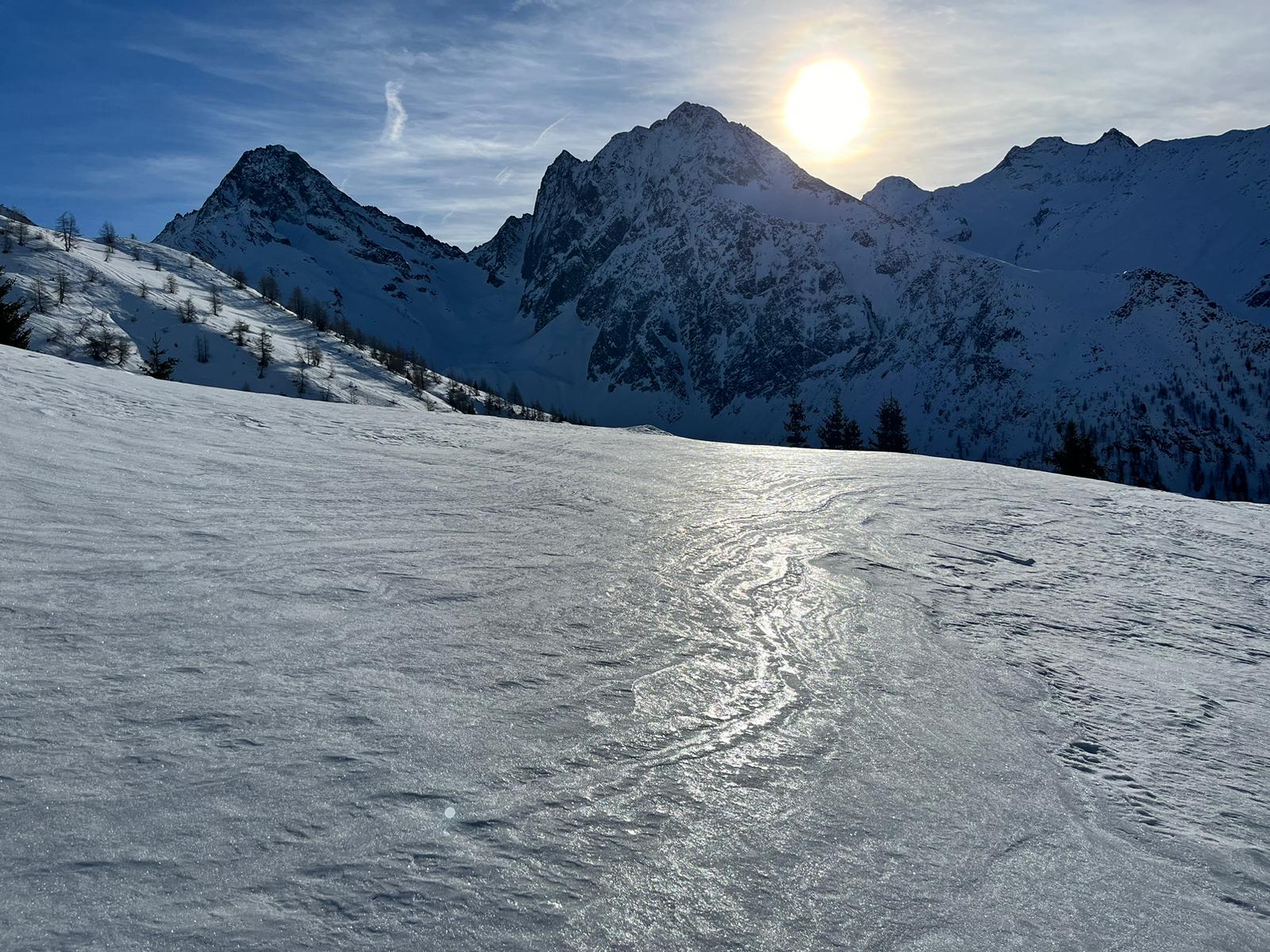
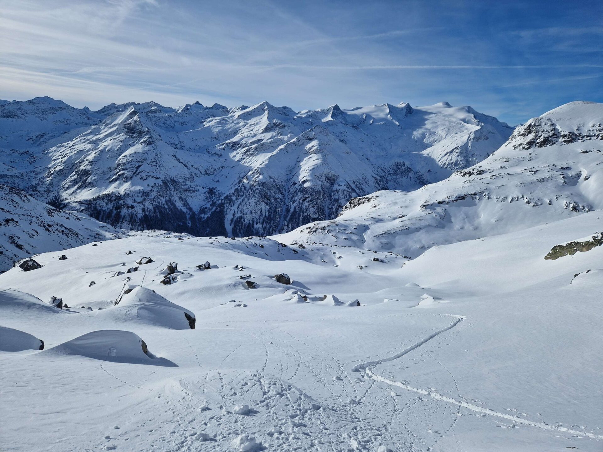
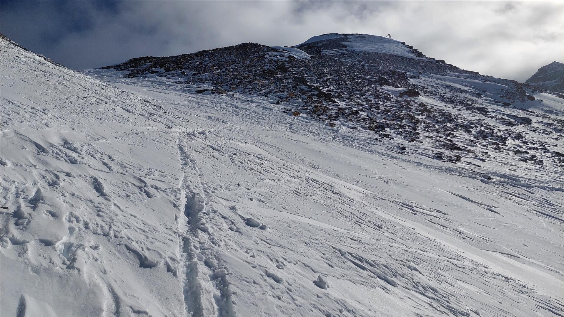
Last week stood under the sign of good powder snow but also of mostly small and (for a short time) easily triggered snowdrift masses. Winter sports enthusiasts who ventured into outlying terrain after the nocturnal snowfall of New Year’s Eve were rewarded with a feast. Most snow fell in the Venediger Massif (30 cm), elsewhere there was often 10-20 cm.
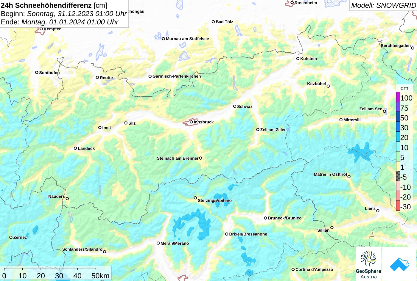
Recently (on 3 and 4 January) there was some precipitation in North Tirol during the nighttime hours (during the daytime, good backcountry touring weather). On 3 January, there was more graupel mixed into the brew, esp. in Ausserfern.
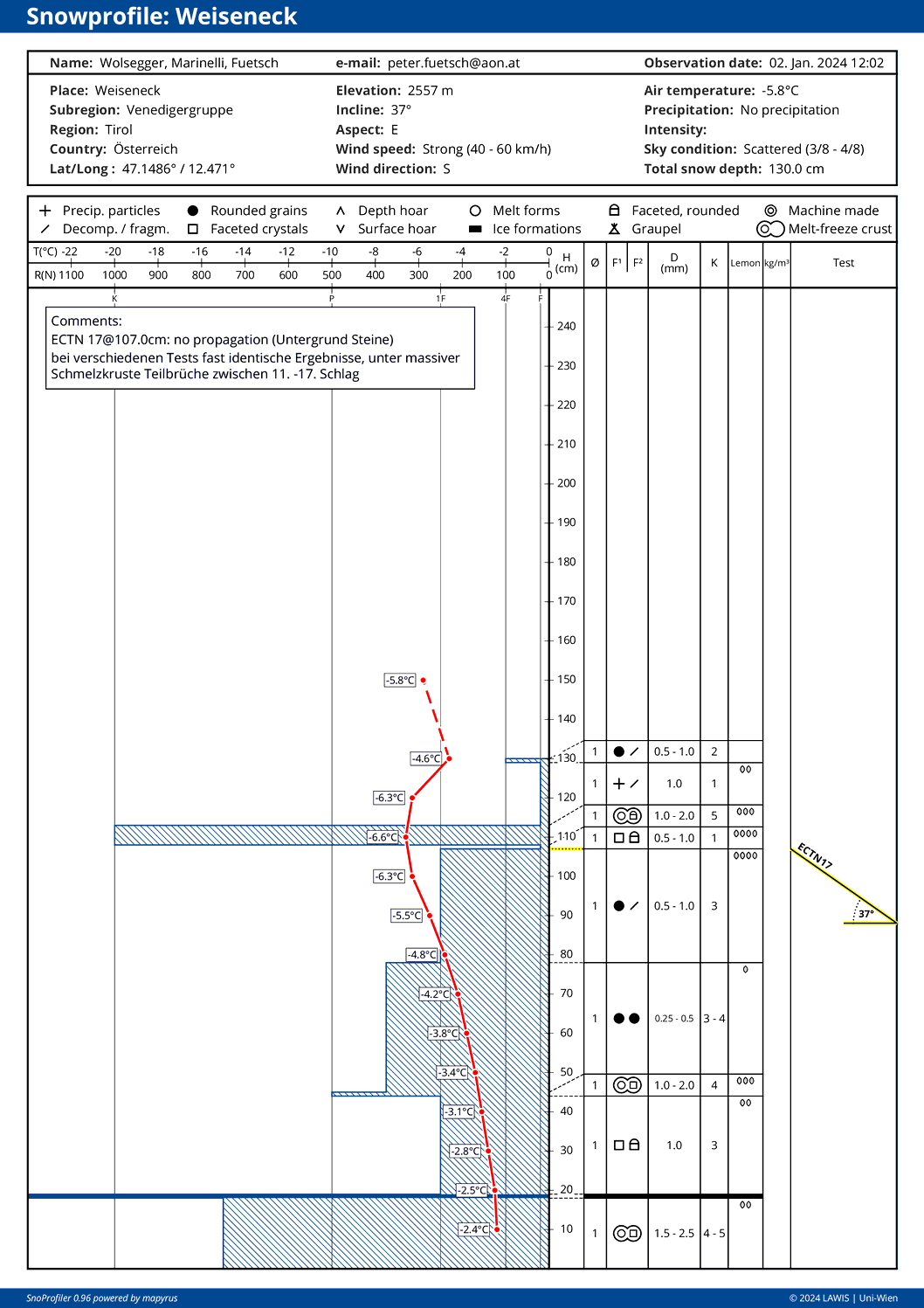
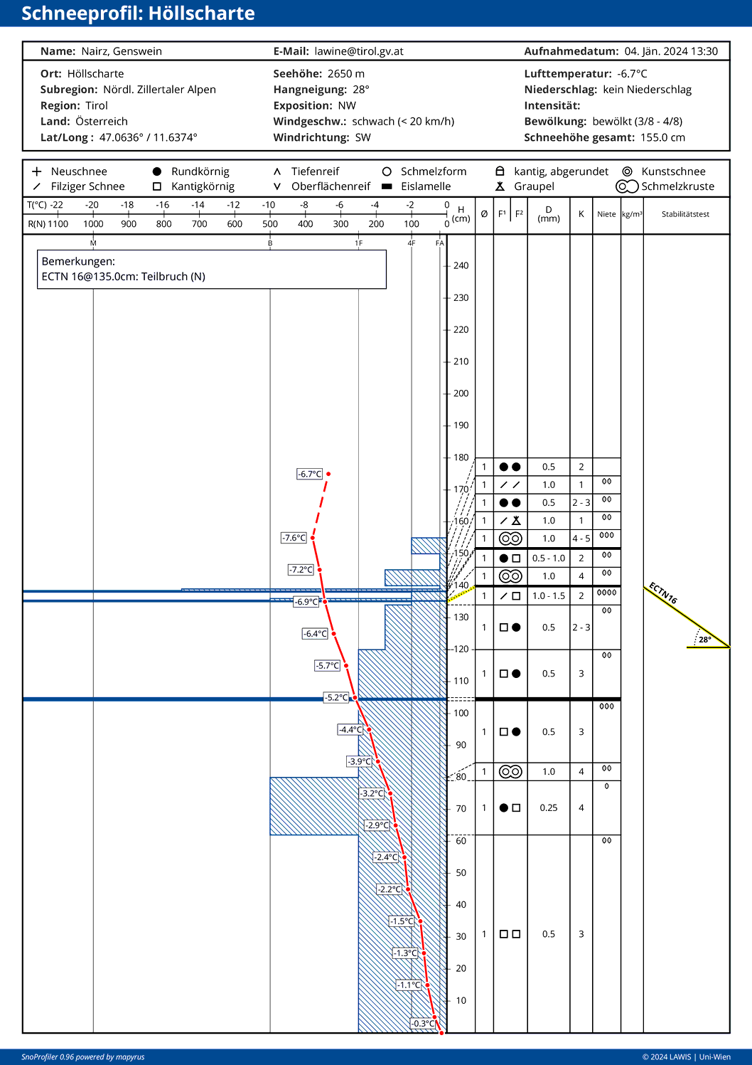
Near-surface snow layers
As always before heavy snowfall, we ask ourselves the question, what impact will it have on snowpack stability? Currently we are concentrating on the near-surface layers. That’s because the snowpack at deeper levels is stable.
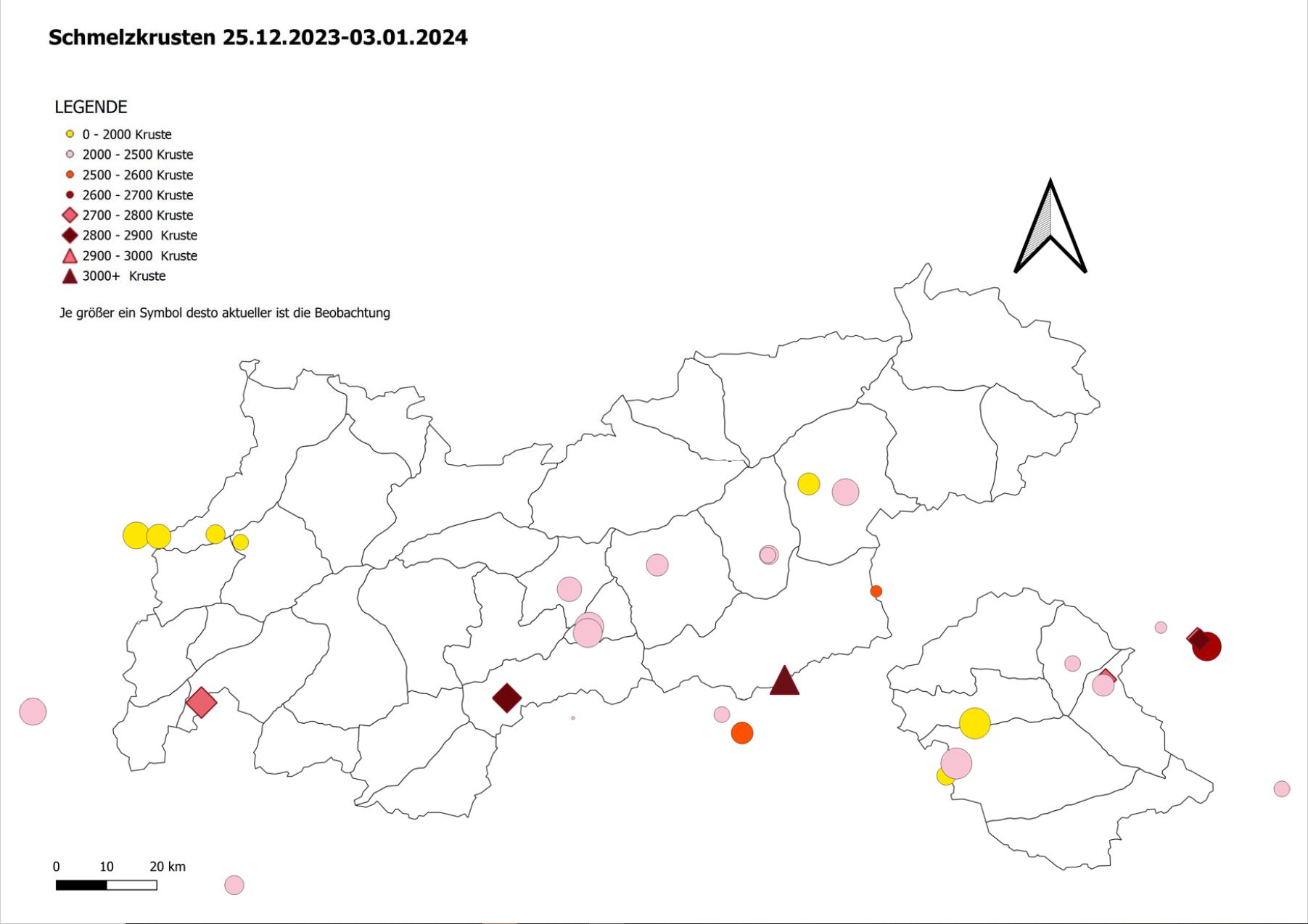
What plays a big part is the moderately heavy rainfall from 24-25.12 up to 2600 m. Subsequently, two thin melt-freeze crusts formed and also ice sheets. Thanks to lots of reports from observers and far-reaching explorations, we now assume that near these crusts no threatening weak layers have formed. Moreover, the New Year’s snowfall has now settled well, so we focus on the fresh snowfall scheduled with little wind for tomorrow. This will constitute a weak layer for the snowdrifts which are deposited on top of it.
Isolated exceptions: high-altitude wind-protected shady slopes, where the current snowpack surface is still a weak layer for the freshly generated snowdrifts. That also applies to the surface hoar blanketed by snow, as isolated reports point out on shady slopes at about 2000 m.
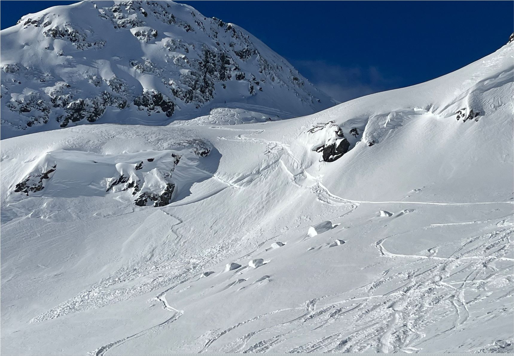
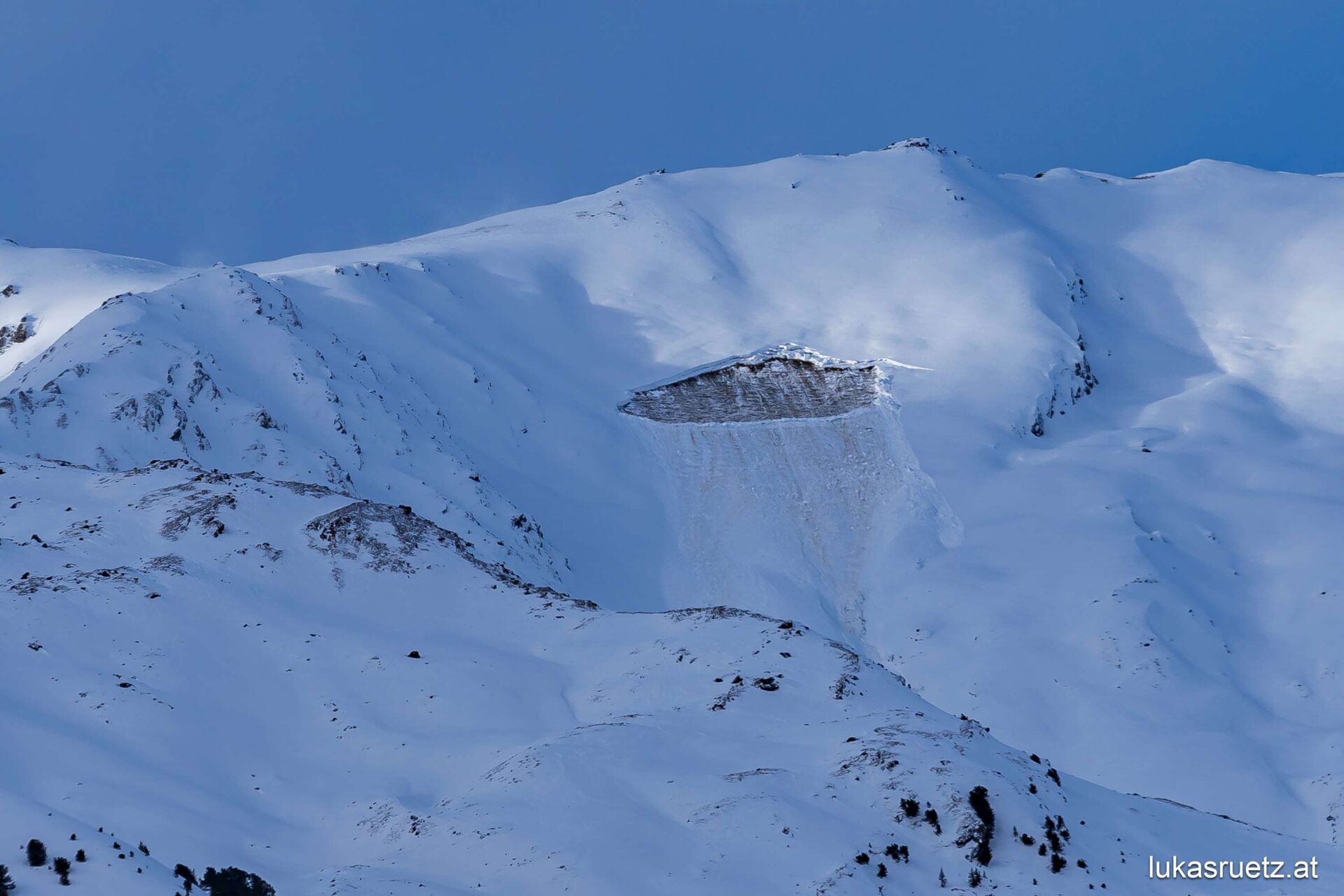
Isolated gliding snow problem
Glide-snow avalanches still harbor a certain danger potential, even if they are being observed only occasionally. Nevertheless, we continue to advise: DO NOT linger in zones near glide cracks. Glide-snow avalanches are quite unpredictable, it is impossible to know when they will release.