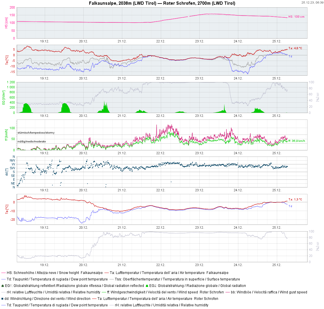
The snowpack has settled significantly as a result of the noticeably higher temperatures, avalanche danger has receded. What remains: a persistent gliding snow problem and a diminishing snowdrift problem at high altitudes. Also in this blog: a brief analysis of the fateful avalanche near the Rofelewand in Pitztal.
Heavy precipitation and storm winds – a review
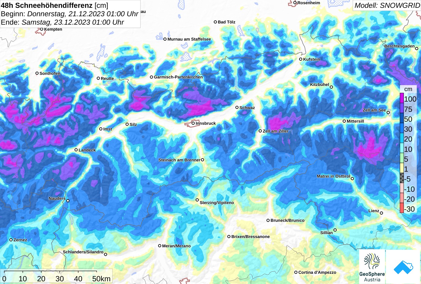
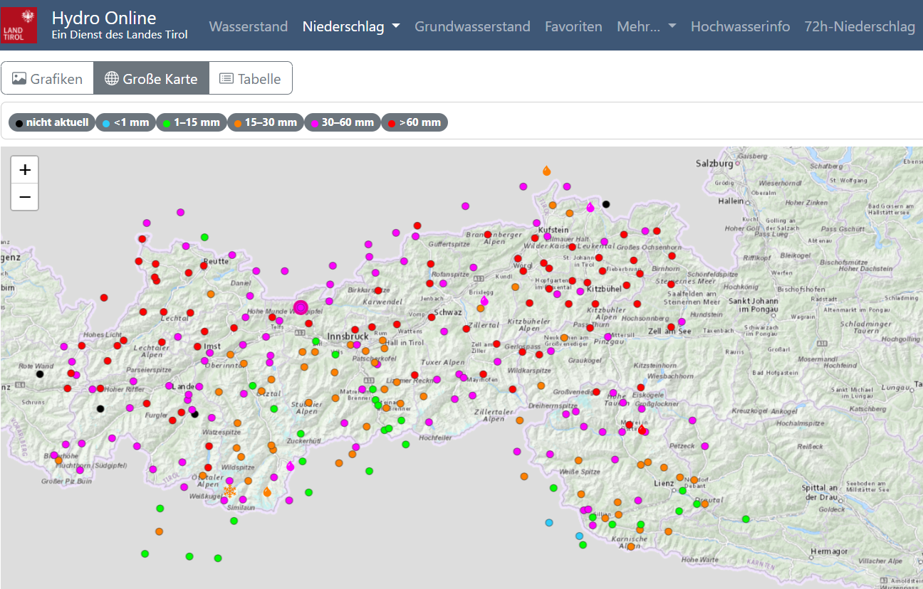
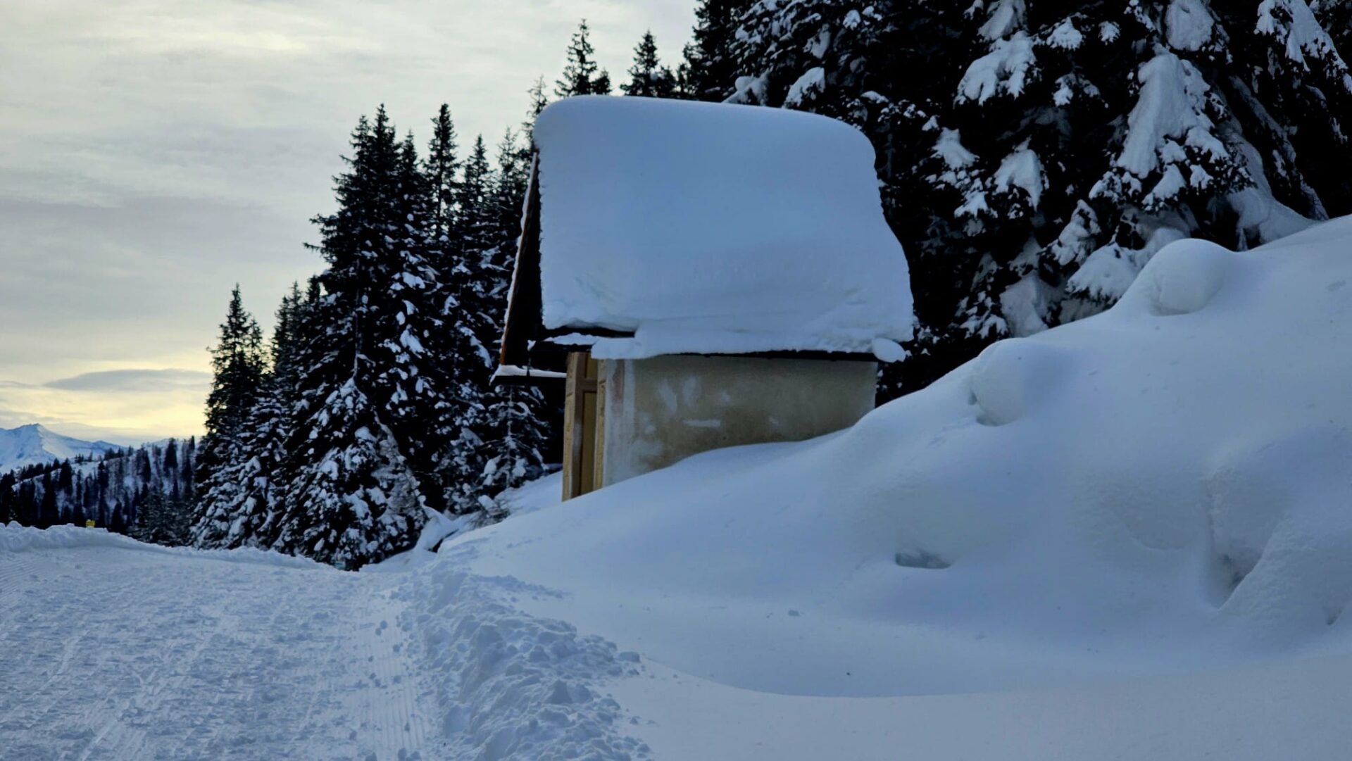
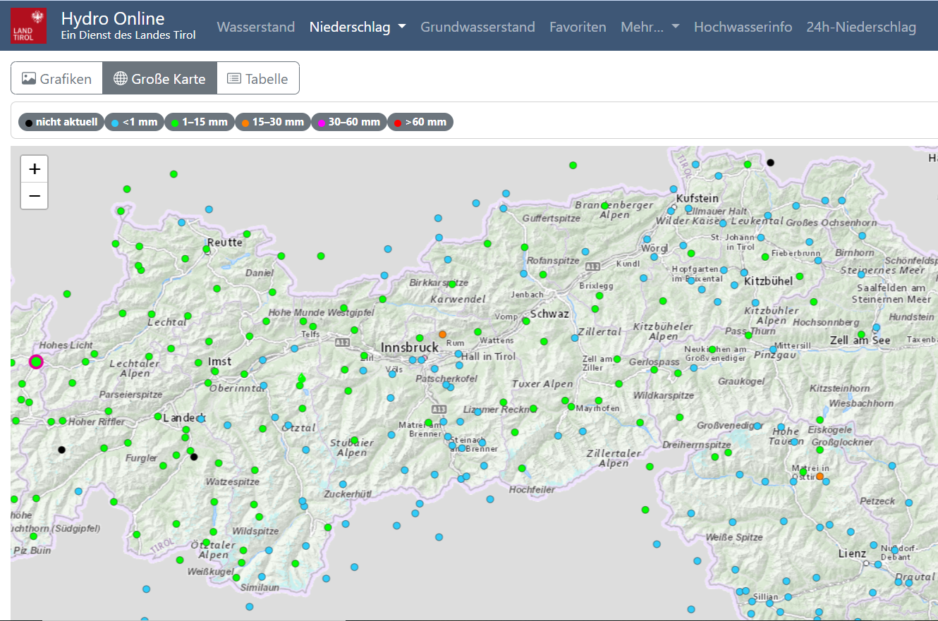
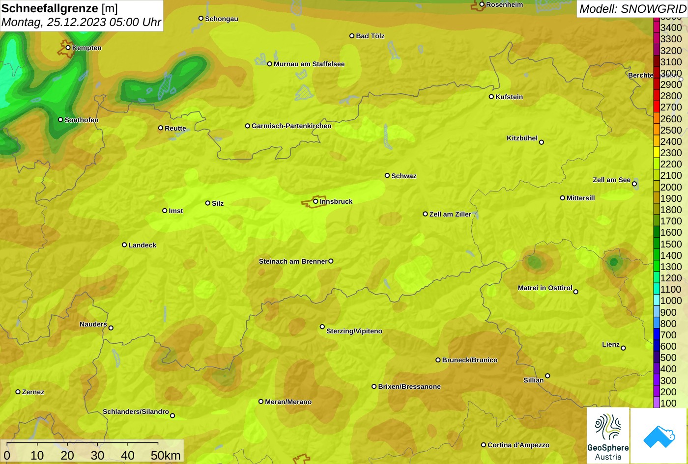
As predicted, huge amounts of precipitation fell in far-reaching areas of Tirol. The rainfall level fluctuated between 1200 and 1800 m, mostly at 1200 m. The storm-strength winds were unusual, transporting not only enormous amounts of snow but resculpting the snowpack surface. This makes current snow quality a challenge to ski on: moist/wet snowpack / breakable crusts / wind crusts that bear loads / wind swirls / isolated firn-snow patches / not much powder.
.
.
.
.
.
.
.
.
Avalanche activity
Reports of avalanche activity during the stormy phase were varied. Most naturally triggered slab avalanches fractured at the borderline to the former old snowpack surface or inside the fresh snow, just as expected. Frequently the fractures were already blanketed over with fresh snow when the weather started to improve. One of these was the fateful avalanche at Rappenkopf-Rofelewand in Geigenkamm, in which one person was buried in snow masses. The search is still going on (see below for details).
The artificial triggerings attempted through explosives at the end of the period of precipitation were very successful at high altitudes. Wherever explosives were not possible during the still stormy period and we had to delay an additional day, successes were limited and isolated.
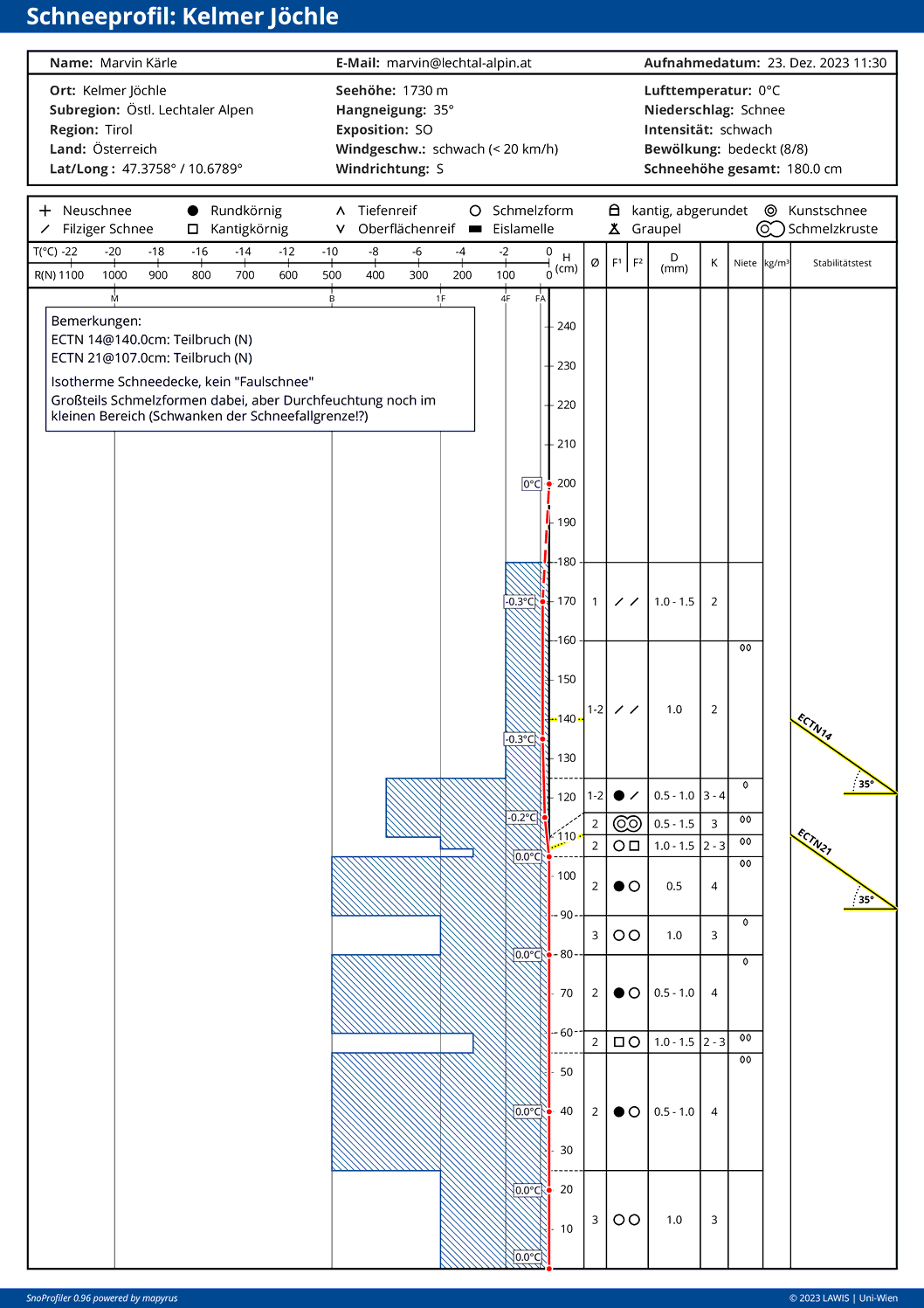
The gliding snow problem persists. Through the weight load of fresh snow and rainfall, it has even worsened for a brief time. In addition, since the improvement in weather conditions and higher temperatures set in, moist-to-wet loose-snow avalanches have been observed on extremely steep, sunny slopes.
As a precautionary measure, some roads in Tirol were closed on 22.12 in the evening due to threatening avalanches, e.g. in rear Ötztal.
.
.
.
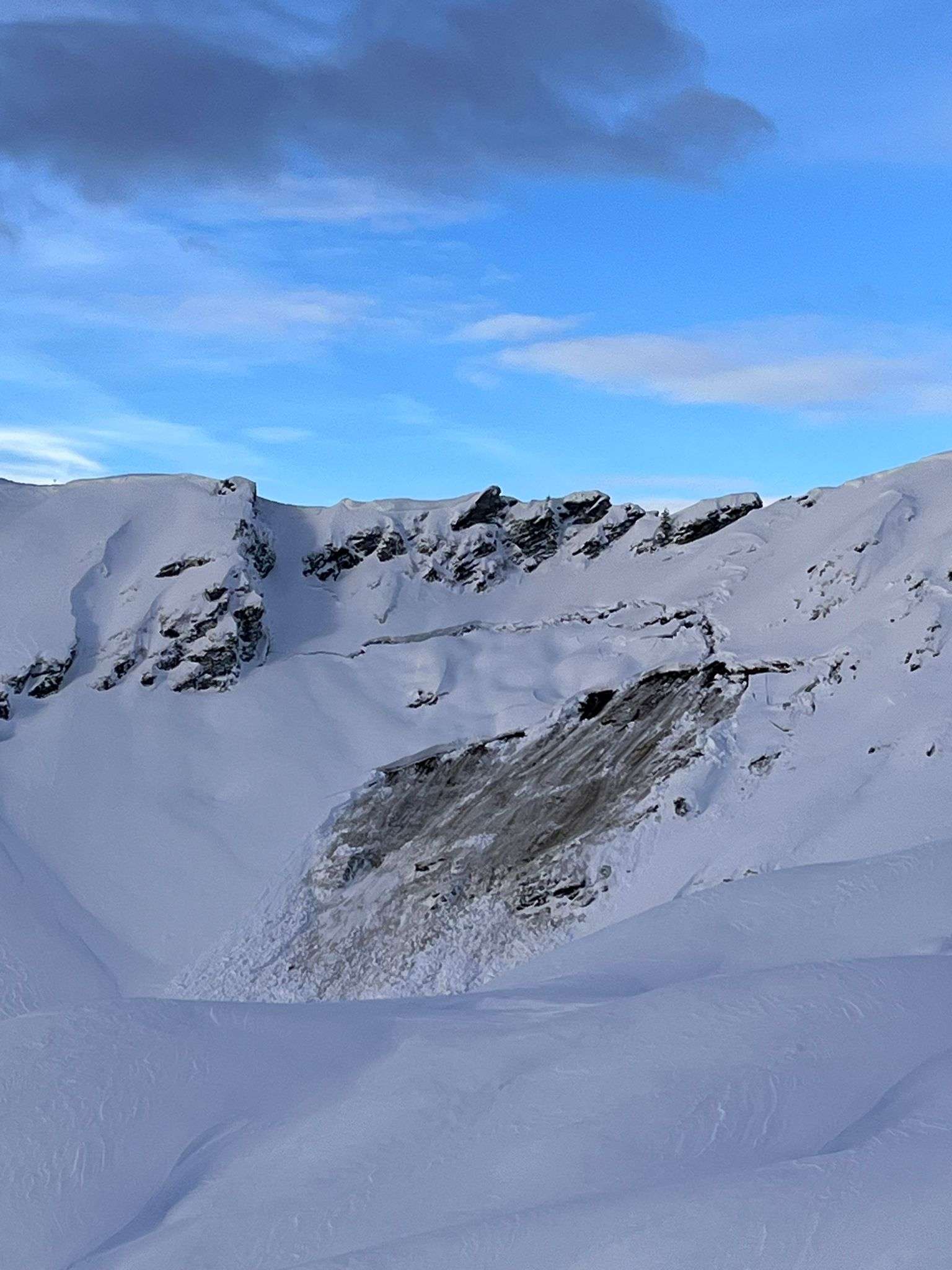
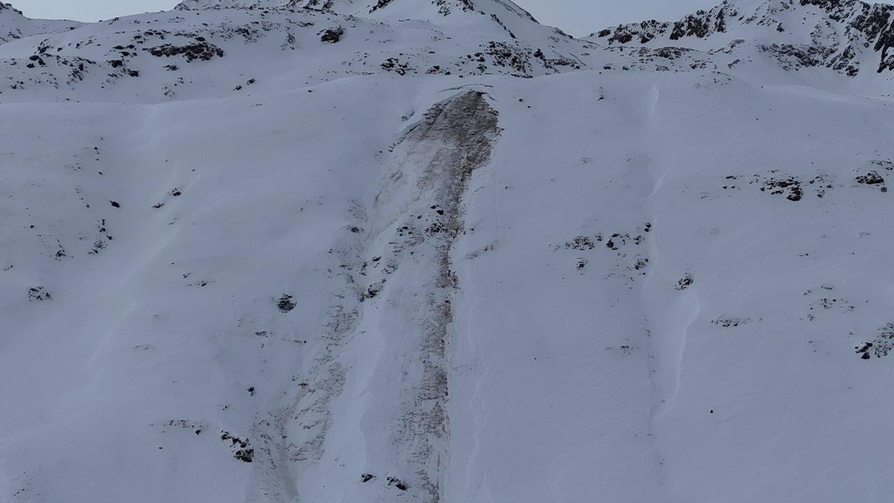
Fateful avalanche on Rofelewand, 23.12.2023
Short description of events
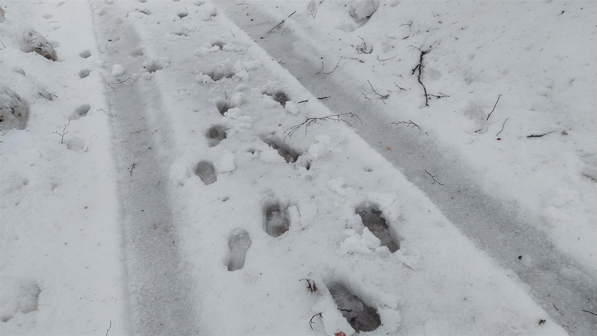
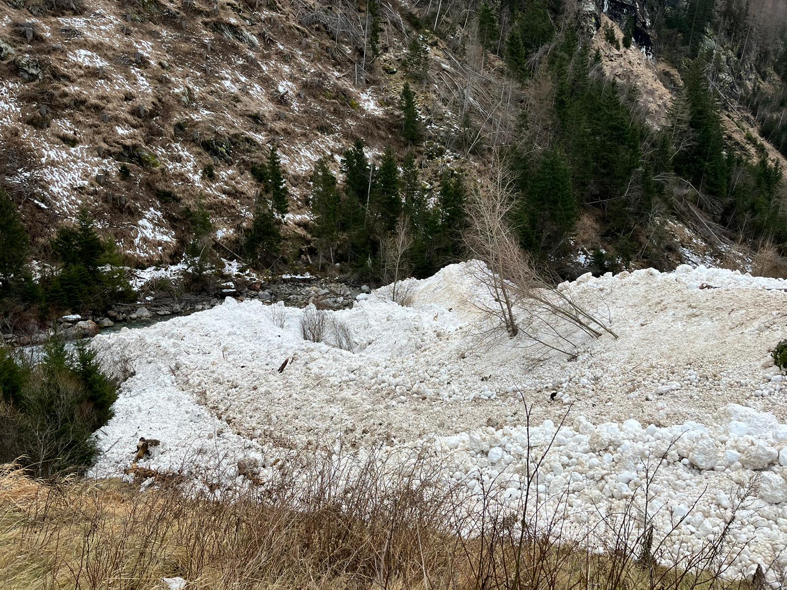
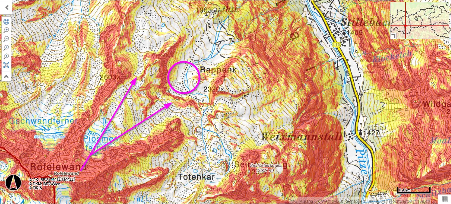
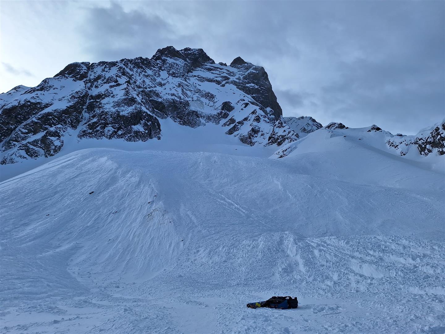
On the morning of Saturday 23.11 a backcountry skier climbed from Scheibe in St. Leonhard in Pitztal over the Arzleralm towards Rappenkopf. In the zone of a markedly flat piece of ground west of the Rappenkopf at about 2200 m, the ski tourer was caught by a naturally triggered avalanche and completely buried in snow.
Another lone backcountry ski tourer was climbing in the tracks of the previous one, reached the zone of the avalanche snow-wedge during the afternoon. He noticed that the ascending tracks were covered over by the avalanche deposit and could not see any tracks exiting from the wedge. Subsequently the mountain rescue squad was notified and a search was initiated, breaking off when darkness fell, then continuing on Sunday, 24.12 Due to the outsized dimensions of the snow-wedge, the search team has not yet found him.
Based on the report of a missing person which was made, it can be assumed that the person caught in the avalanche is a 46-year old local.
Analysis
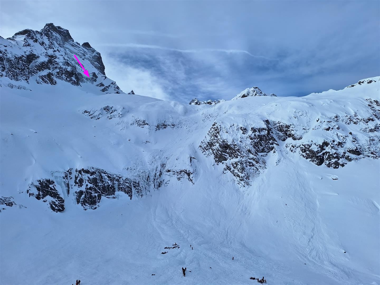
Starting on Thursday evening, 21.12, and until the early morning hours on the day of the avalanche, it snowed 50 to 70 cm in the Kaunergrat region. This striking bout of precipitation was accompanied by storm-strength W/NW winds which persisted even after the snowfall terminated. During this time, huge amounts of fresh snow and snowdrifts were carried into the somewhat wind-protected zone below the Rofelewand slightly to the northwest and deposited there. We assume that to start with, a relatively small snowdrift slab triggered near the Rofelewand rock wall. When these snow masses subsequently hit the slope below, in the upper area of the Plösmes glacier, they triggered a large slab which gathered immense energy on the plummet path and swept along huge amounts of snow, possibly even triggering additional slab avalanches on its way. The weak layers were probably soft layers inside the fresh fallen / freshly drifted snow or loosely-packed fresh snow at the transition to the old snowpack surface.
.
.
.
What’s next?
We are in the middle of a Christmas thaw, with above average air temperatures. During the night of Christmas Eve there was light rainfall up to about 2600 m. The snowpack, at least at low and intermediate altitudes, is zero-degrees isotherm.
.
.
.
.
Main problem: glide-snow avalanches
The proneness to triggering of recently generated snowdrift accumulations will now diminish measurably. What remains: glide-snow avalanches which glide and slide over steep, smooth surfaces, preferably grass-covered slopes. Glide-snow avalanches can grow to large size due to the above-average snow depths at high altitudes. For that reason, avoid all zones where there are open glide cracks in the snowpack surface.
.
