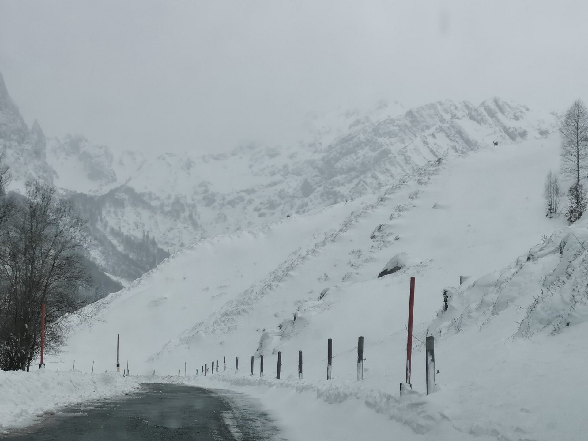
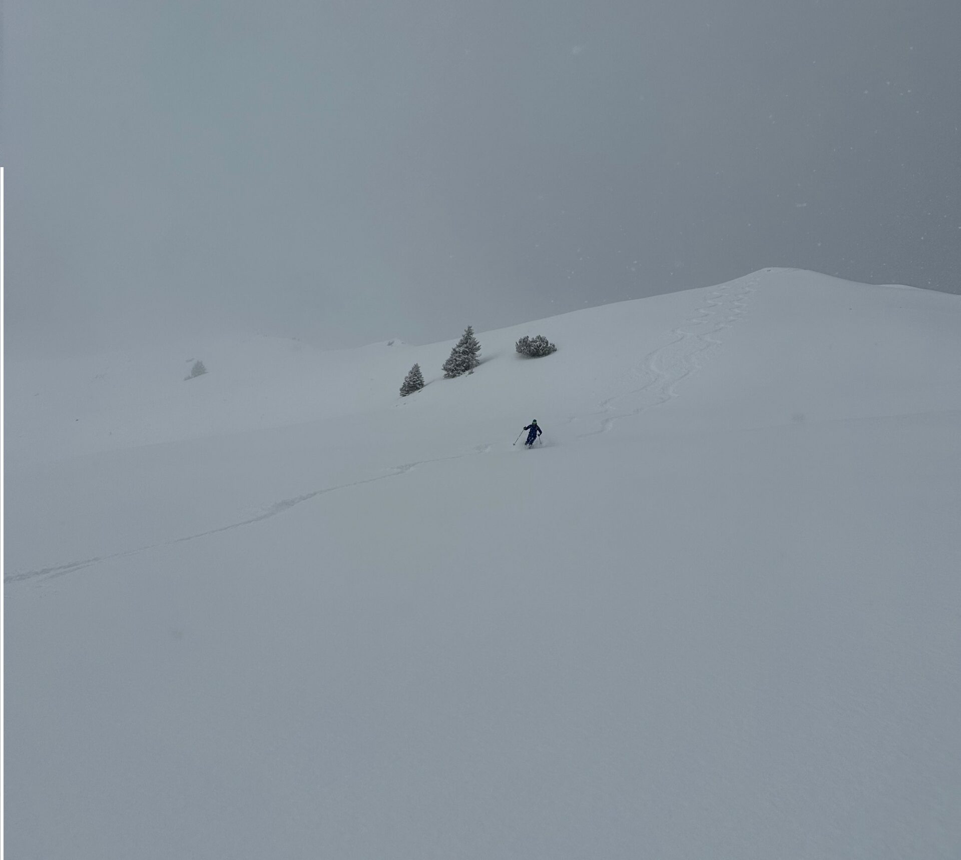
Strong westerly winds have generated snowdrift accumulations which above the timberline are often prone to triggering. Caution urged in very steep terrain, behind protruberances, in gullies and bowls. If visibility permits the danger zones are easily recognized and can be circumvented. Potential weak layers in the old snow can be found above about 2200m. Information about their proneness to triggering is still lacking, so restraint is the best strategy.
Current situation
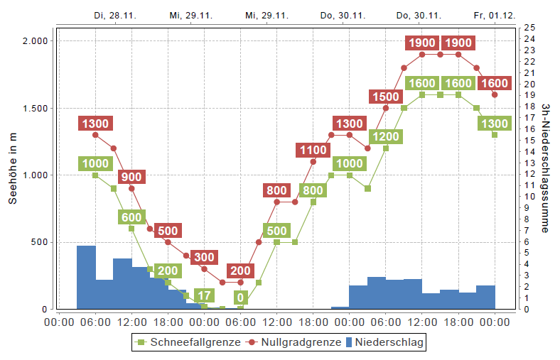
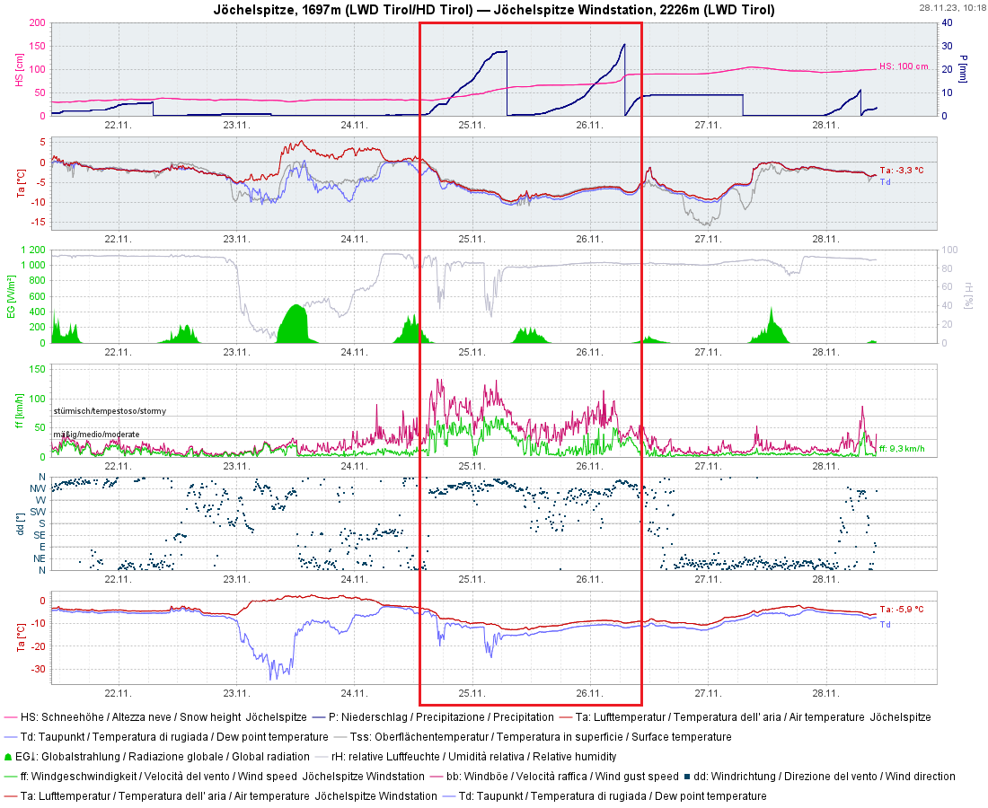
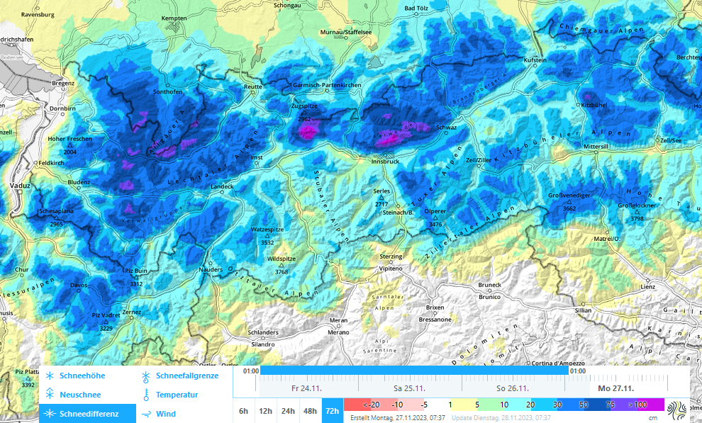
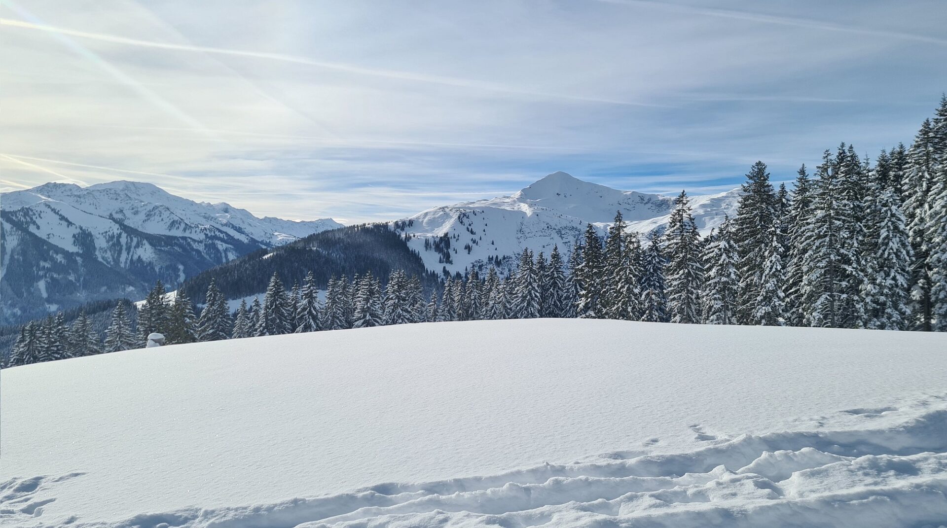
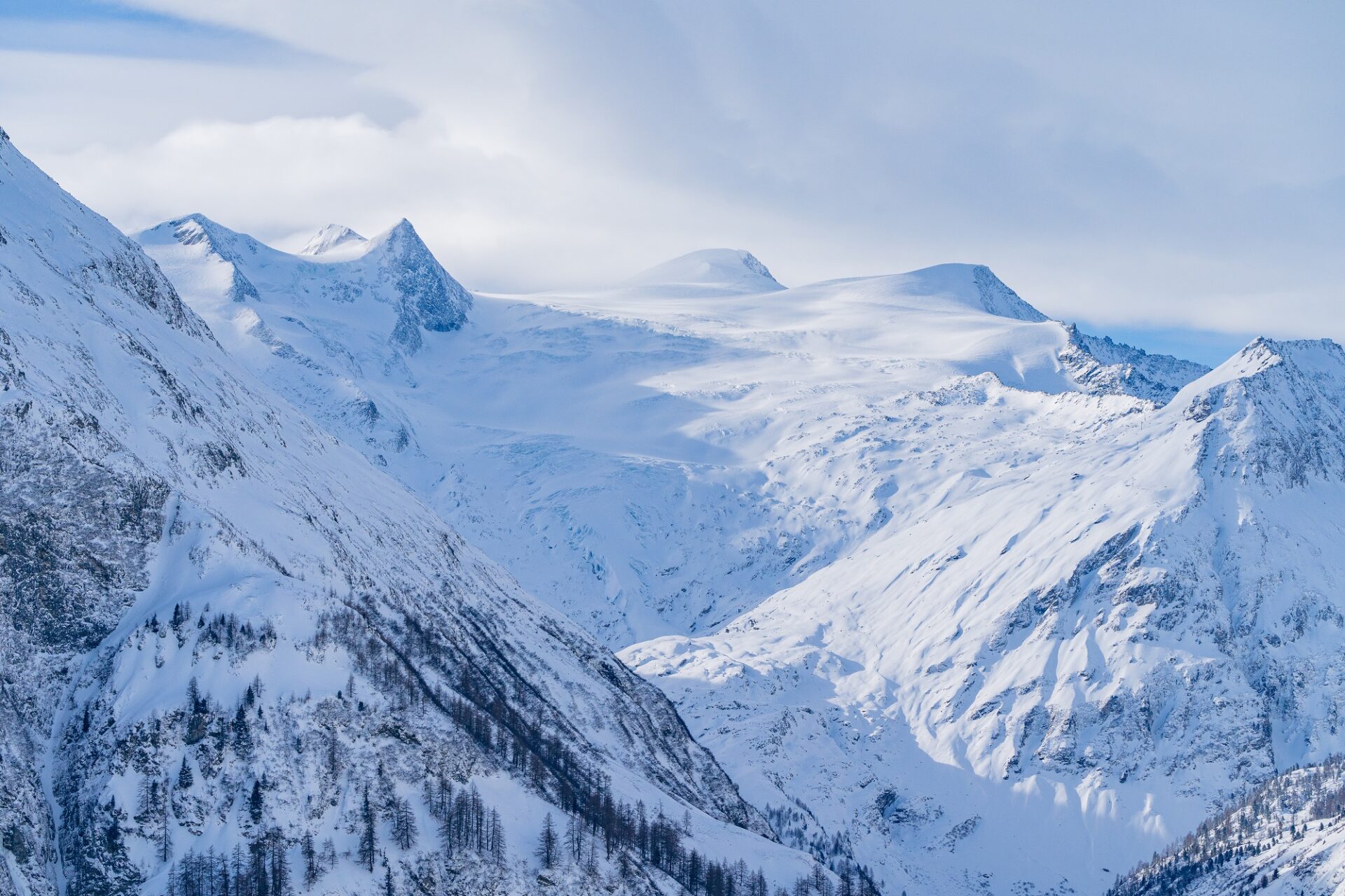
Since Monday evening (27.11) there has been another 15 to 30 cm of fresh snowfall registered, particularly in the Samnaun and Verwall ranges, as well as the Lechtal and Allgäu Alps. Further to the east there was less. The cold front was accompanied by strong westerly winds, which transported the fresh fallen snow and also the loosely-packed snow from the last period of heavy precipitation.
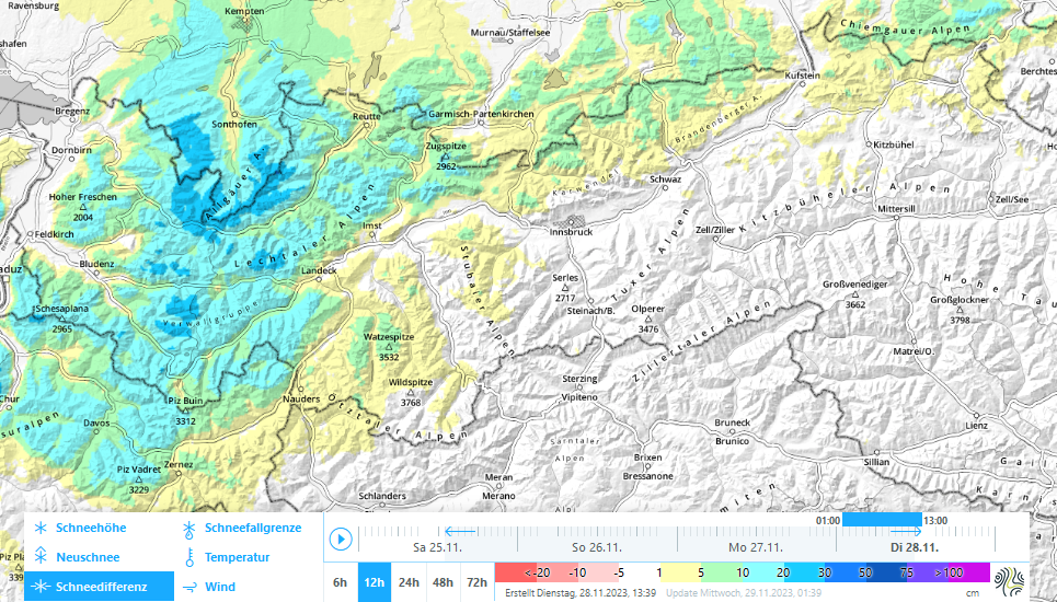
Fig. 1:. Amounts of fresh snow incl. settling since Monday 27.11. Particularly in the western regions there was another batch of fresh snow.
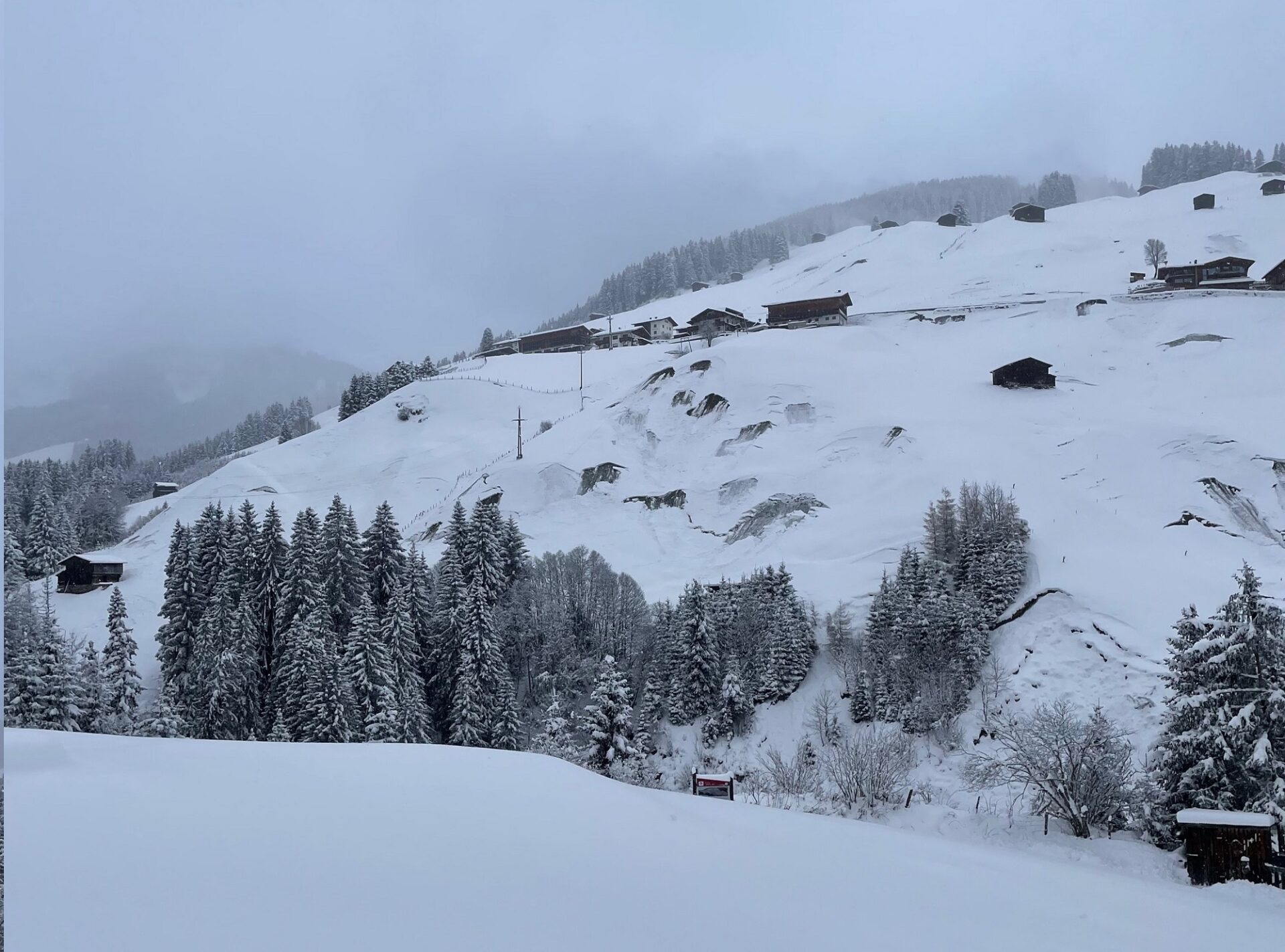
As a consequence of these weather developments, we currently are confronted above all else by a snowdrift problem along the Main Alpine Ridge and northwards thereof. The frequently wide-ranging snowdrift accumulations occur particularly behind protruberances in the terrain, in gullies and bowls, they are recognizable if visibility permits and should be circumvented. Especially on very steep slopes above the timberline they are often prone to triggering and are consolidating very slowly in the low temperatures.
Above approximately 2200m we are also facing a persistent weak layer on west-facing, north-facing and east-facing slopes. Above about 2800m it also occurs on south-facing slopes. Reports and snow profiles confirm this assessment, settling noises as a sign of prevailing instability have been reported to us by observers from Ausserfern and from the Kalkkögeln. Naturally triggered avalanches during the precipitation last weekend on high-altitude south-facing slopes in the Zillertal Alps were caused by this problem.
The weak layer in question is composed largely of faceted crystals which formed in accordance with danger pattern 4 – “cold on warm” – on top of melt-freeze crusts. All in all, we still have very little information to make precise statements about the extent and the trigger-sensitivity of this weak layer. As the fresh fallen snow from the weekend settles and solar radiation prevails tomorrow, Wednesday 29.11, we expect improved slab conditions and heightened likelihood of triggering, as well as a tendency to fracture propagation. We recommend, due to current uncertainties, a defensive route selection. Standard measures such as maintaining safety distances in the descent will reduce the risk.
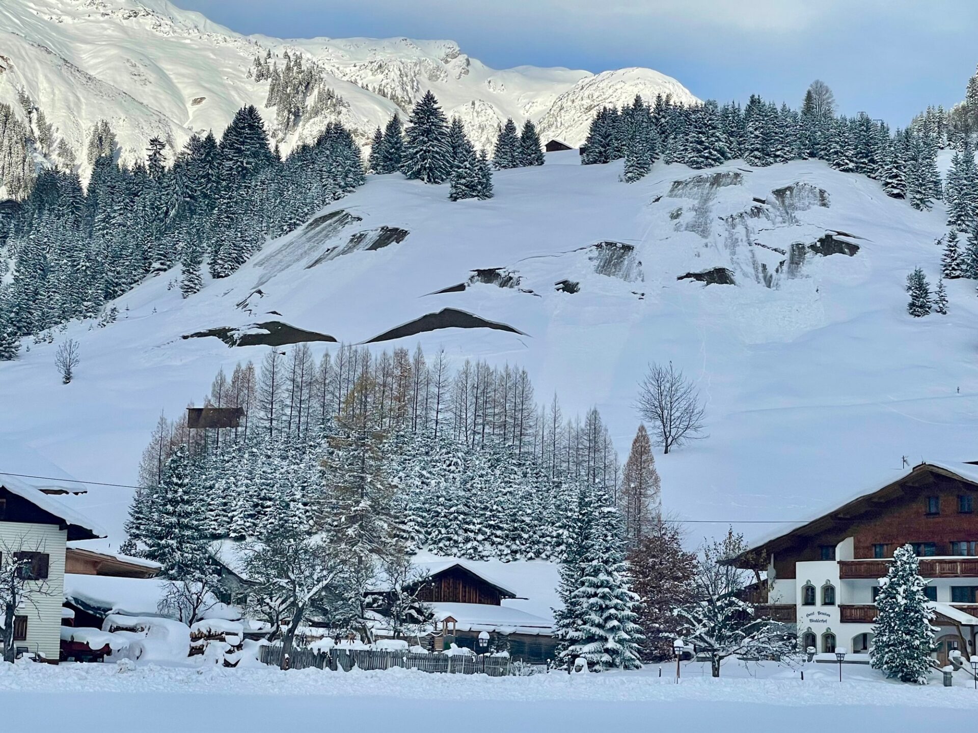
In the areas of major precipitation on steep grass-covered slopes at low and intermediate altitudes, furthermore, there is moderate danger of small-to-medium sized glide-snow avalanches. These can trigger naturally at any time of day or night. Zones below glide cracks should be avoided or at least passed through quickly.
Review
Two rounds of precipitation since Friday 24.11 brought large amounts of fresh snow to the mountains in many places. Arctic cold air caused the snowfall level to descend down to low lying areas. The precipitation was accompanied by strong to storm-strength western and northwesterly winds.
Outlook
Wednesday (29.11) will be quite sunny and bitter cold. On Thursday, a warm front will reach us from the west. The snowfall level will ascend temporarily to nearly 1500m. From the present point of view, we expected 15 to 30 cm of fresh snow in the mountains by Saturday morning (2.12). Frequently strong winds from the west will generate new snowdrift accumulations. Improved weather conditions can be expected over the coming weekend.