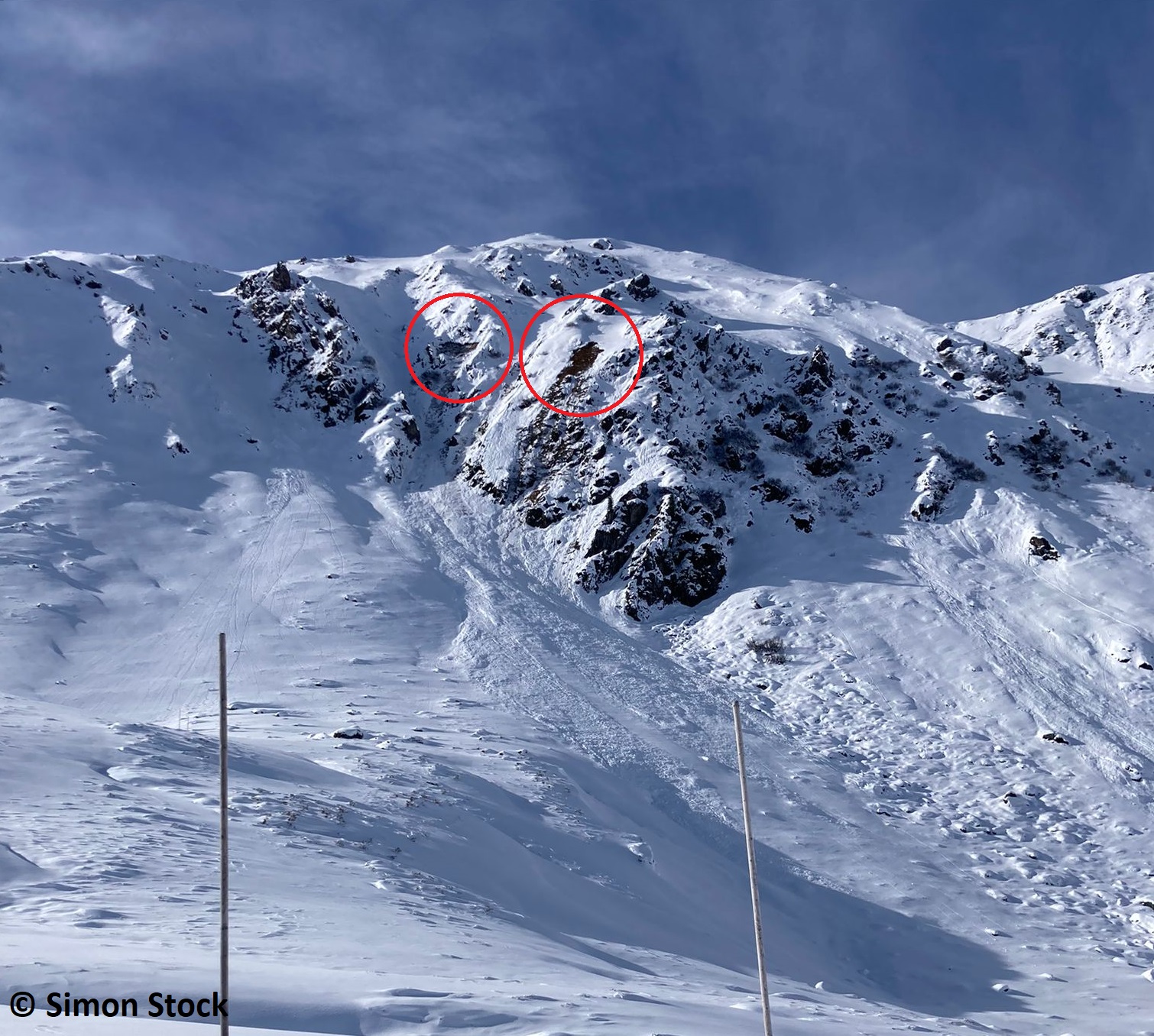
The major current problem comes from the small amount of fresh fallen snow plus wind which together are generating small-sized snowdrift accumulations on high altitude shady slopes. Avalanche prone locations are easily recognized, providing good visibility. These danger zones should be circumvented whenever possible, particularly in terrain where one can be forced to take a fall. In addition, naturally triggered glide-snow avalanches are possible on steep grass-covered slopes where snowfall has been heavy. During the next few days, conditions will remain variable. Starting on Friday more precipitation is anticipated in the mountains.
Current situation
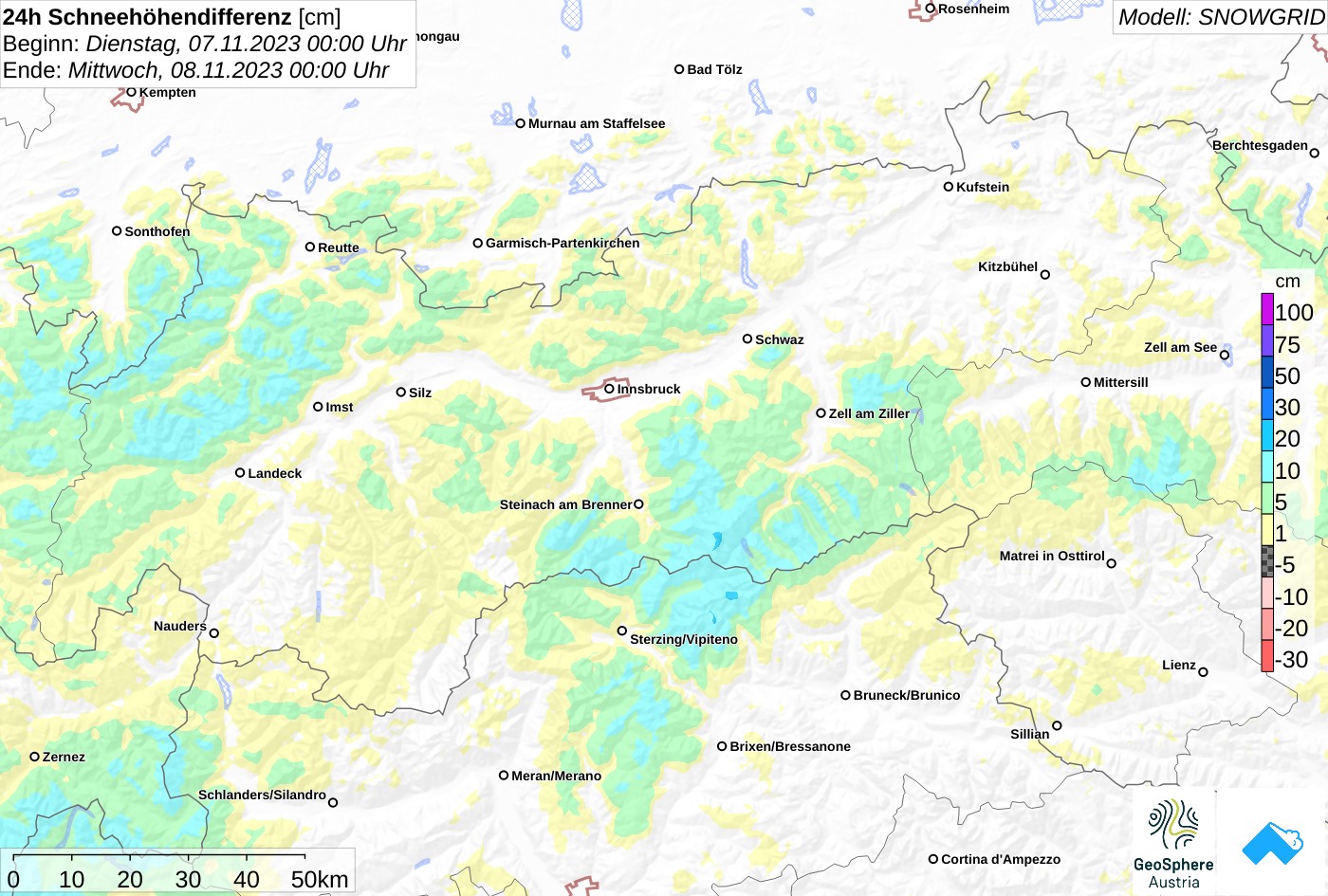
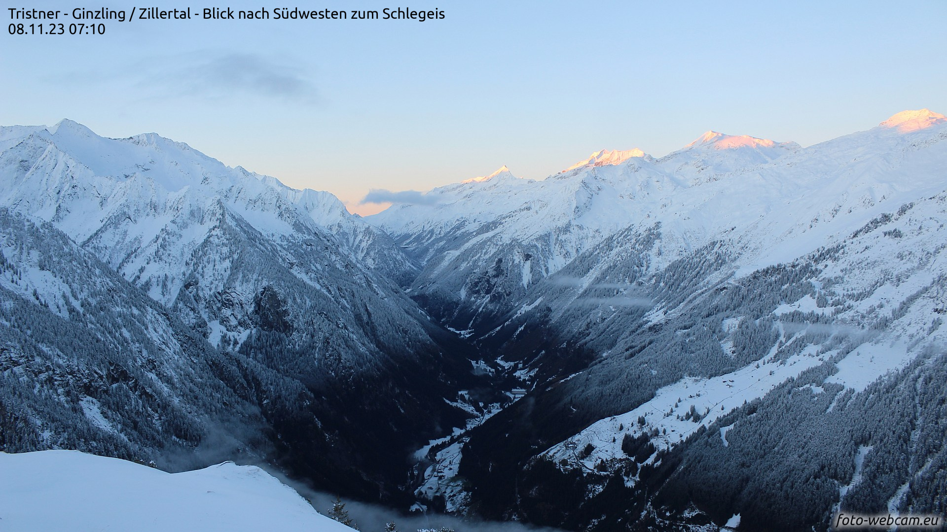
Yesterday, Tuesday 07.11: another bout of snowfall in Tirol’s mountains. The snowfall level ascended from 1000 to 1200 m, moderate westerly winds prevailed during the precipitation.
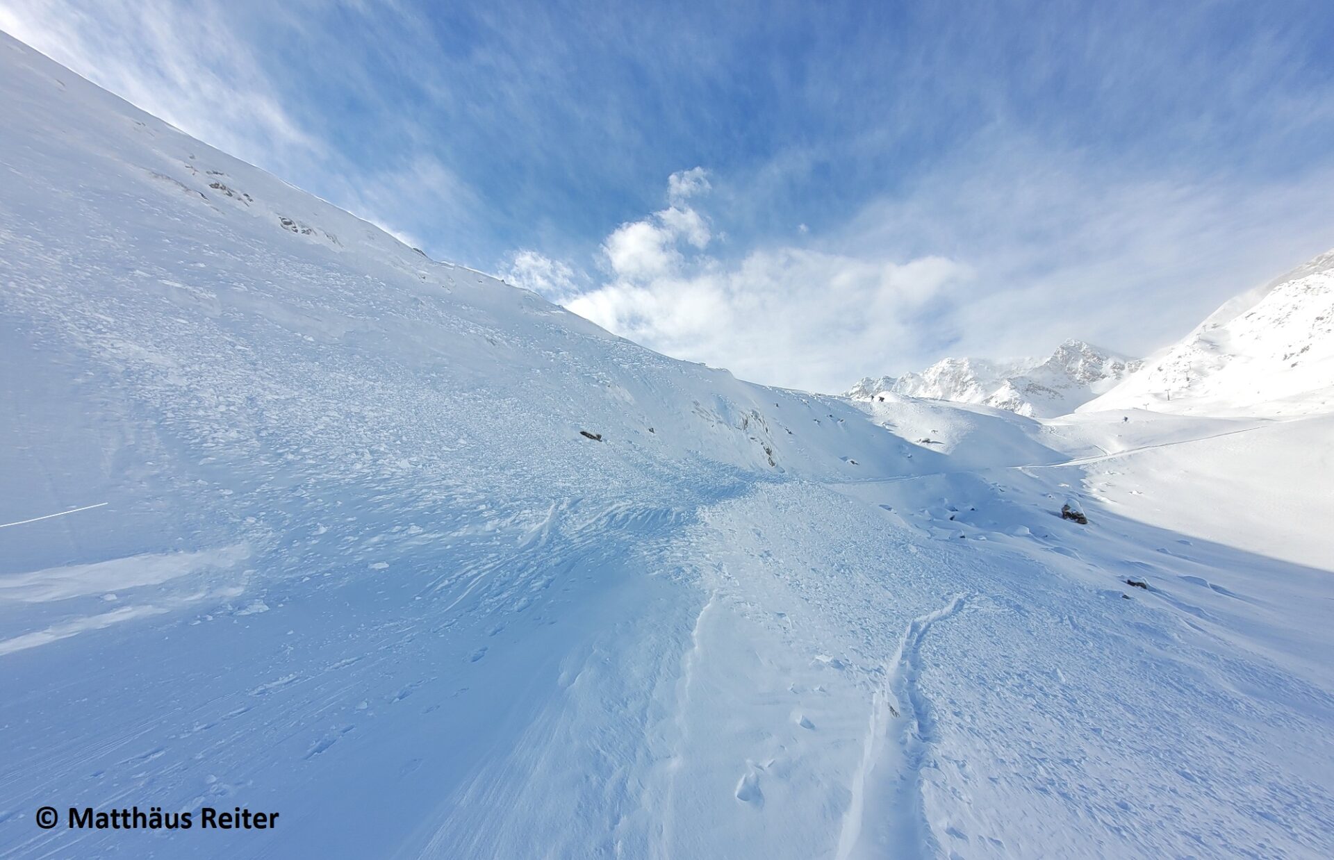
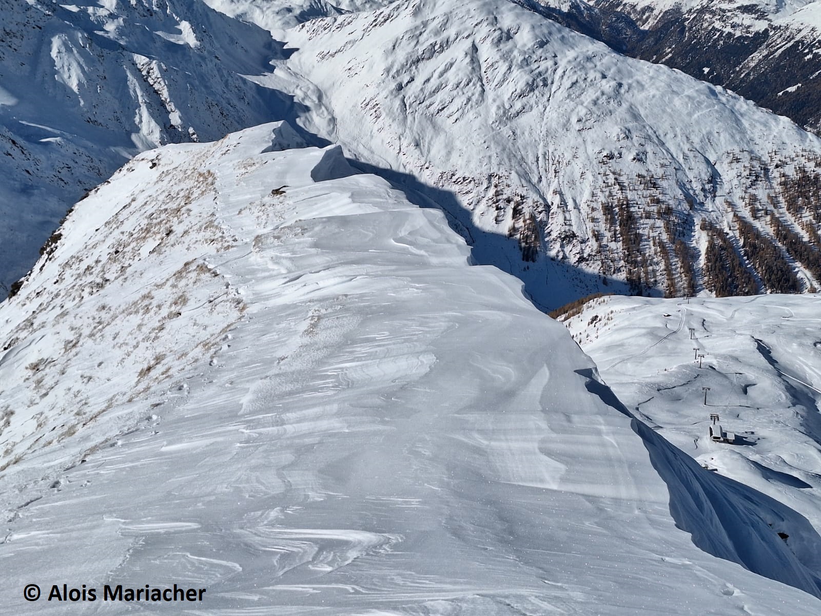
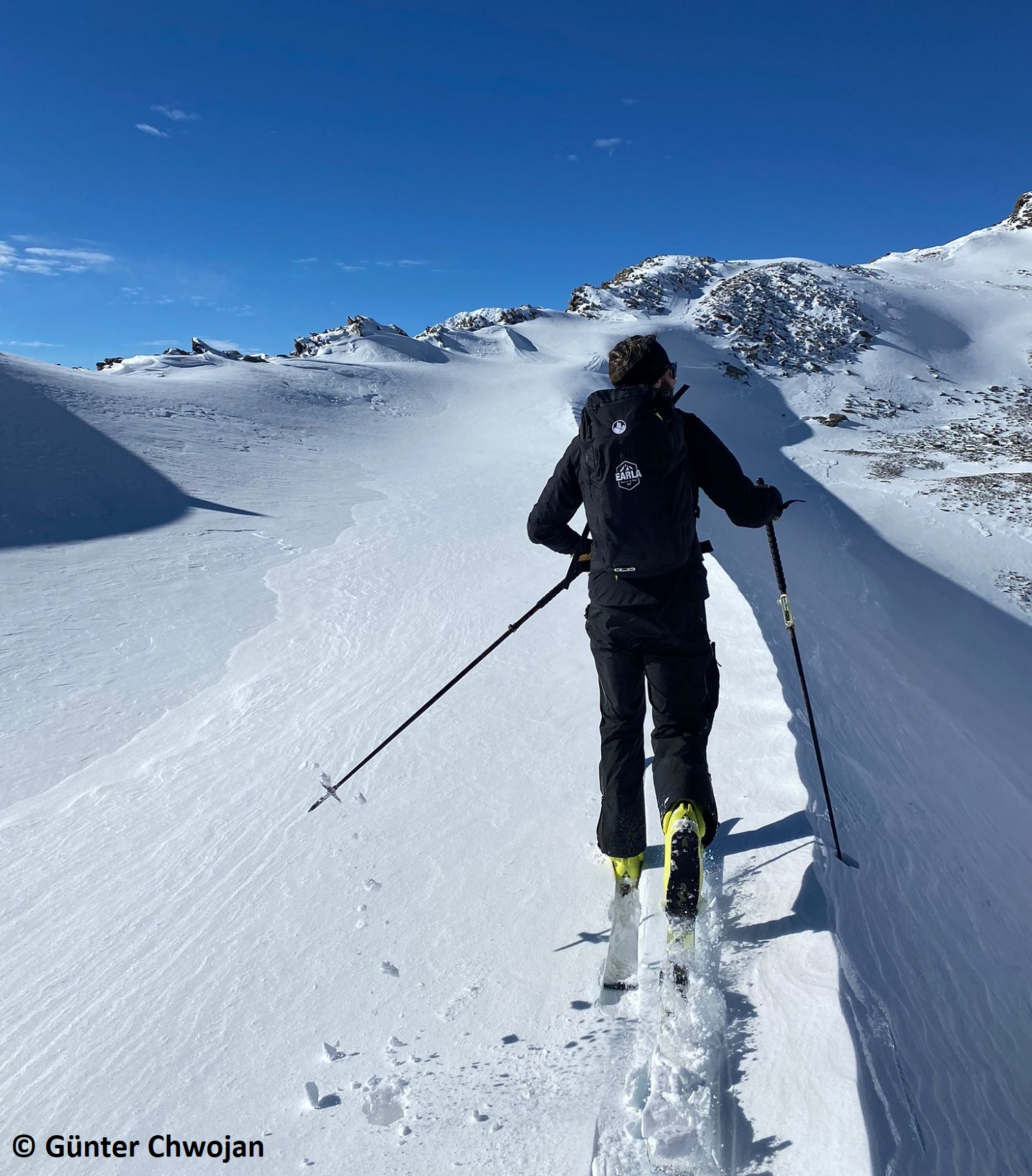
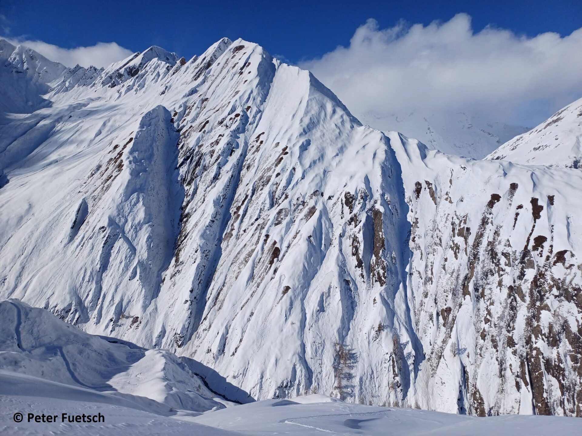
The avalanche situation is only slightly influenced by the relatively small amounts of fresh fallen snow. The fresh snow is often being deposited atop a highly wind-impacted snowpack and has pretty good bonding to the frequently raw surface. Weak layers occur deeper down inside the snowpack, but currently present no danger. With regard to slab avalanches, particularly the local winds require increased attentiveness over the next few days of variable conditions (see below). Winds will transport the loosely-packed snow on the surface and deposit it on leeward slopes atop unbonded fresh snow: this can serve as a weak layer beneath the wind slab. Avalanche prone locations occur as of about 2600m, mostly on wind-protected shady slopes near ridgelines and behind protruberances in the landscape. They are often small, are easily recognized pending good visibility and triggerable only for a short spell following their formation. Caution urged particularly in terrain where it is possible to take a fall. In addition, naturally triggered glide-snow avalanches are possible on steep, smooth, grass-covered slopes. The snow depths are still minor, thereby only small-sized avalanches are possible. Nevertheless, the risks of being swept along, being forced to take a fall and suffering injuries require caution. Zones below the avalanche prone locations should be circumvented when possible.
Coming developments
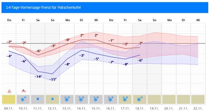
Following a brief intermediate high, then very sunny weather today, Wednesday, 08.11, there will follow on Thursday a new low from the west. Before the low hits, strong southerly foehn winds will lead to snow transport in the mountains and fresh snowdrift accumulations being generated at high altitudes. On Thursday night and during the day on Friday, minor snowfall is anticipated, snowfall level below 1500m. And also on Saturday, 11.11, conditions will remain variable, accompanied by showers and snowfall, partly down to low altitudes (<1000m). In the mountains in the furthermost western regions of Tirol, 10-15 cm of fresh snow are possible.
Beyond the weekend much uncertainty still prevails about the weather situation. However, conditions will clearly remain instable. The snowfall level is expected to ascend again.
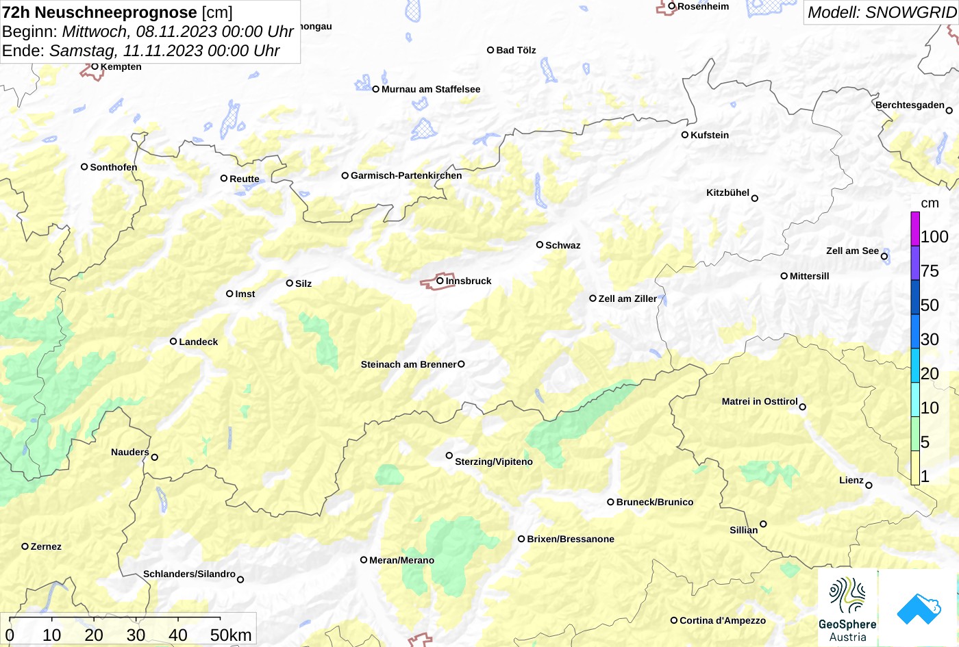
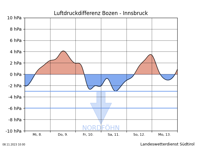 Fig. 9: In the foehn diagram of the Bolzano Weather Service, the forecast air pressure difference between Bolzano and Innsbruck is depicted. The greater the difference, the stronger are the expected winds. Red-shaded zones are the time periods with southerly foehn wind.