On Saturday, 8 May, numerous winter sports enthusiasts took advantage of the fine weather and mostly favourable conditions to venture into outlying terrain. The snow cover in early morning was well frozen, except in high alpine regions. Wonderful firn snow could frequently be enjoyed on the descents. During the day, the uppermost part of the snowpack became thoroughly moist in some places, leading to small avalanches, most of which were loose-snow releases.
In high altitudes, however, an icy wind was blowing which generated wide-ranging snowdrift accumulations in ridgeline terrain. These drifts proved to be quite prone to triggering, the primary cause of the avalanche incidents which then occurred (presumably also causally combined with the Danger Pattern “cold-on-warm” {dp.4} and/or graupel {dp.9}).
Here is a brief listing of the reported avalanches:
9:30 am: Hinterer Brunnenkogel (Stubai Alps): 3300m, E/SE, no injuries
9:55 am: Blockkogelferner (Ötztal Alps): appx. 3050, NE, no injuries
10:19 am: Böses Weibele (Schober Massif): appx. 3000m, NE, 2 persons w/airbags, no injuries
10:49 am: Tonigenkogel (Ridnaun Massif): appx. 2900m, E, slide, no injuries
11:32 am: Watzespitze (Kaunergrat): 3400m, E, 2 persons injured
11:36 am: Weisskugel (Weisskugel Massif): 3700m, E
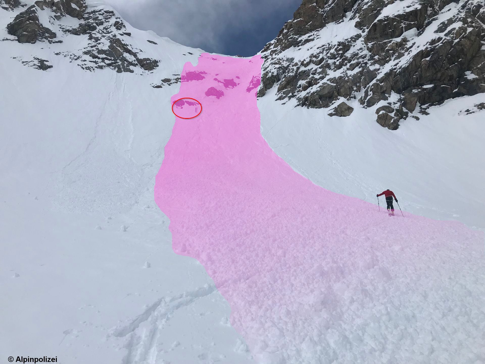 |
| Avalanche accident Watzespitze. The slab fractured near the ridgeline when 2 persons were ascending on foot. The circle pinpoints their ski depot. (photo: 08.05.2021) |
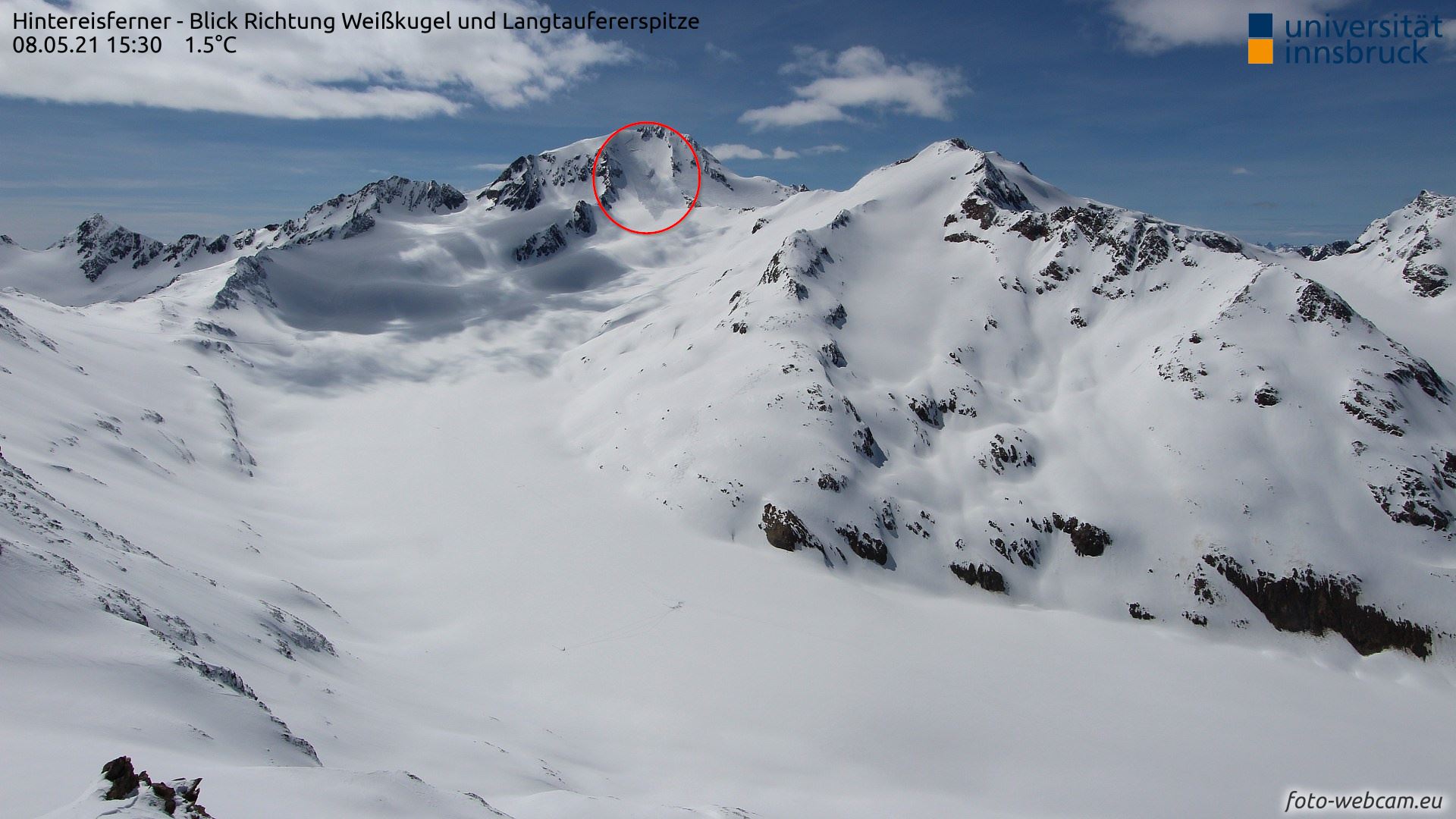 |
| Webcam overview of avalanche below the Weisskugel |
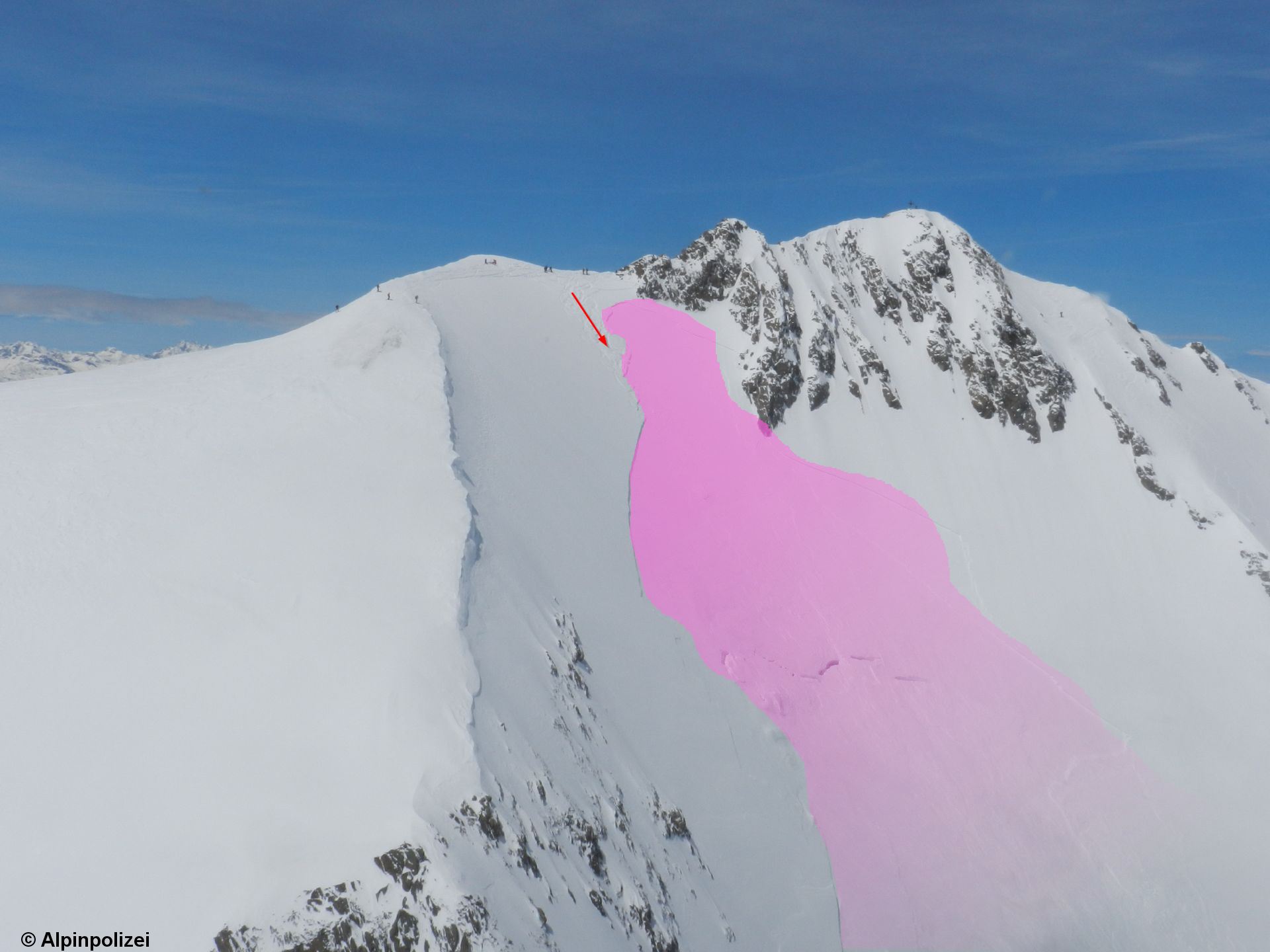 |
| Detail of avalanche below Weisskugel. Arrow points to several descending tracks. One person was caught by the slab and injured, brought to the hospital in Merano. (photo: 08.05.2021) |
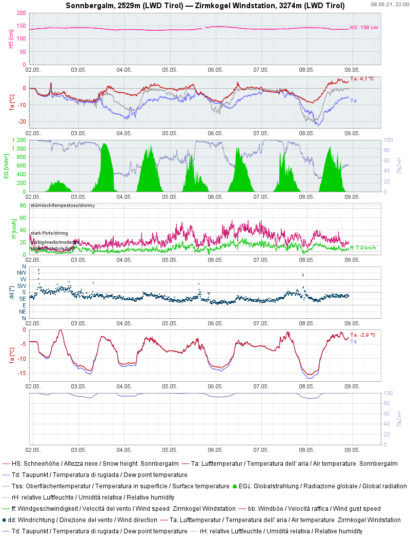 |
| The air is currently moister and warmer than at the same time on the previous day. The nocturnal outgoing radiation and snowpack cooling will be poorer in comparison. |