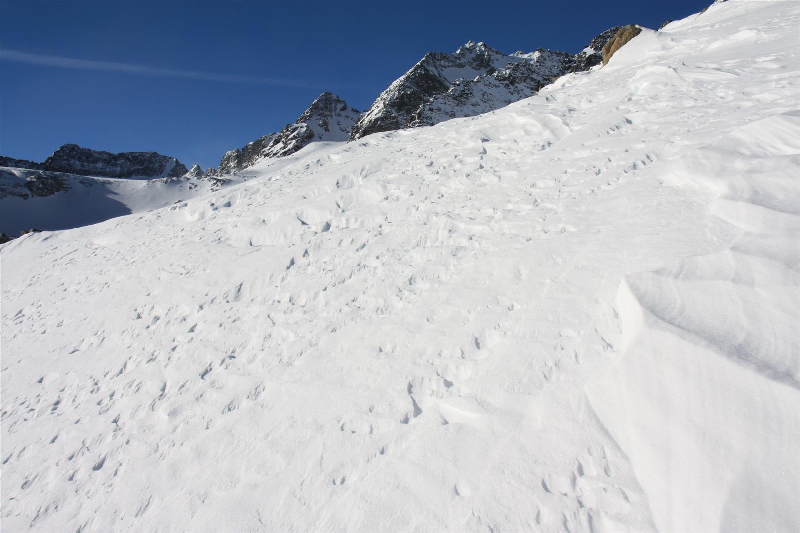
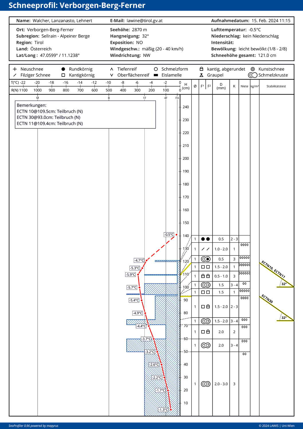
Last week there was a bit of snowfall: on the one hand, powder snow; on the other, trigger-prone snowdrift accumulations.
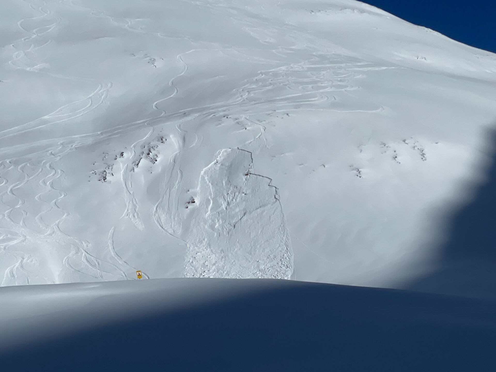
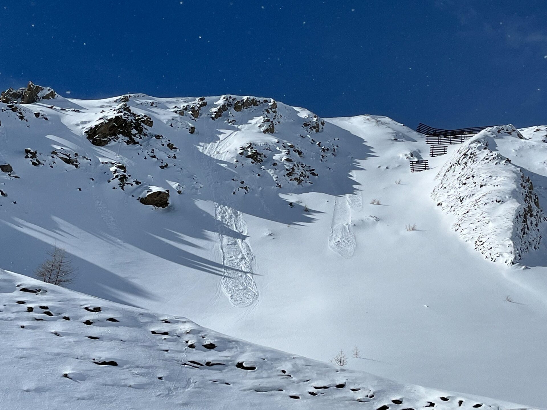
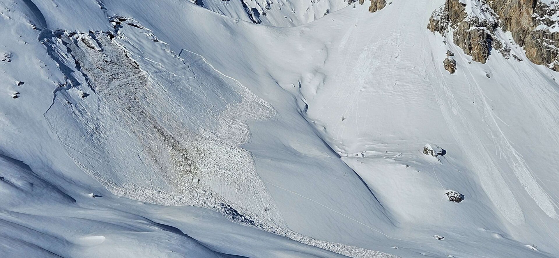
All in all there were, and there continue to be, only a few avalanche prone locations in outlying terrain. We are saddled with a latent gliding snow problem and, for a short time, loose-snow avalanches on extremely steep slopes. In isolated cases in high-alpine terrain, esp. near ridgelines on shady, very steep slopes, freshly generated snowdrift accumulations are prone to triggering.
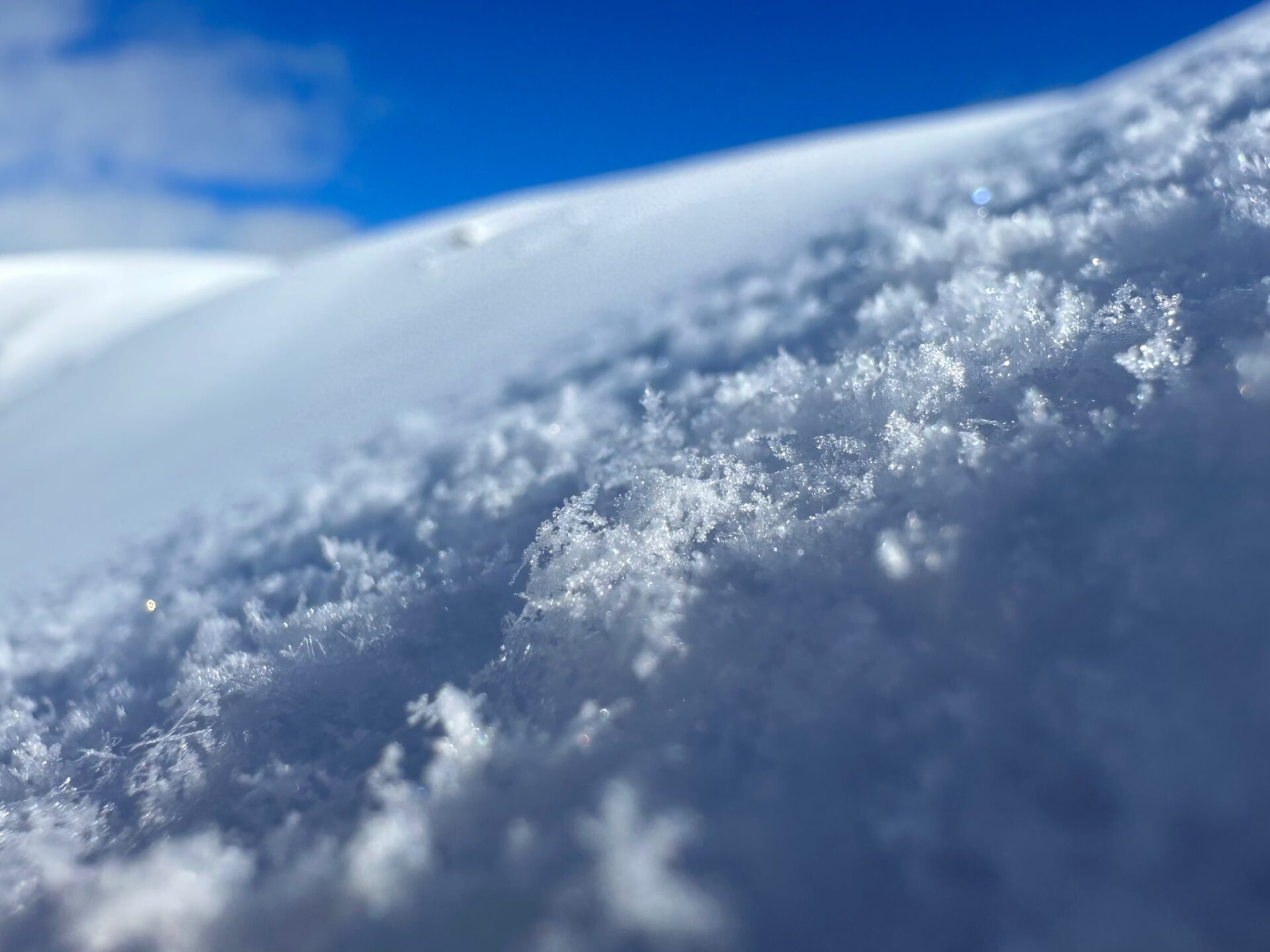
(Some) fresh snow
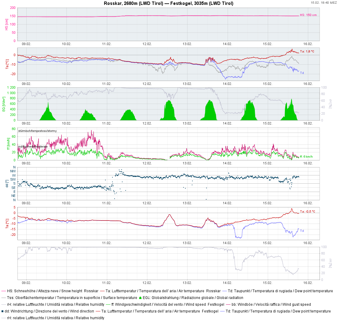
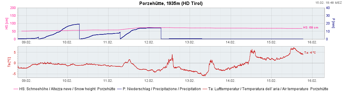
Last week was marked by (a bit of) snowfall starting on 9 February in the southern regions. Most of it fell in the southern Ötztal Alps, in northern and southern East Tirol, and in the northern sector of the Northern Alps, mostly 20-30 cm, locally as much as 40 cm. Elsewhere generally 10 cm was registered.
Powder snow
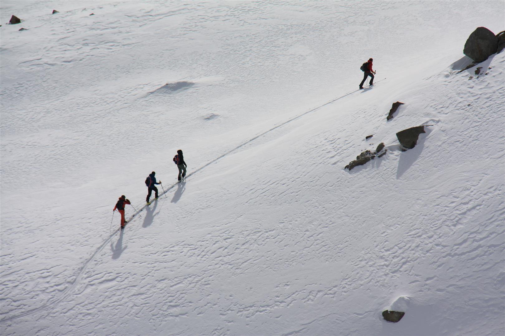
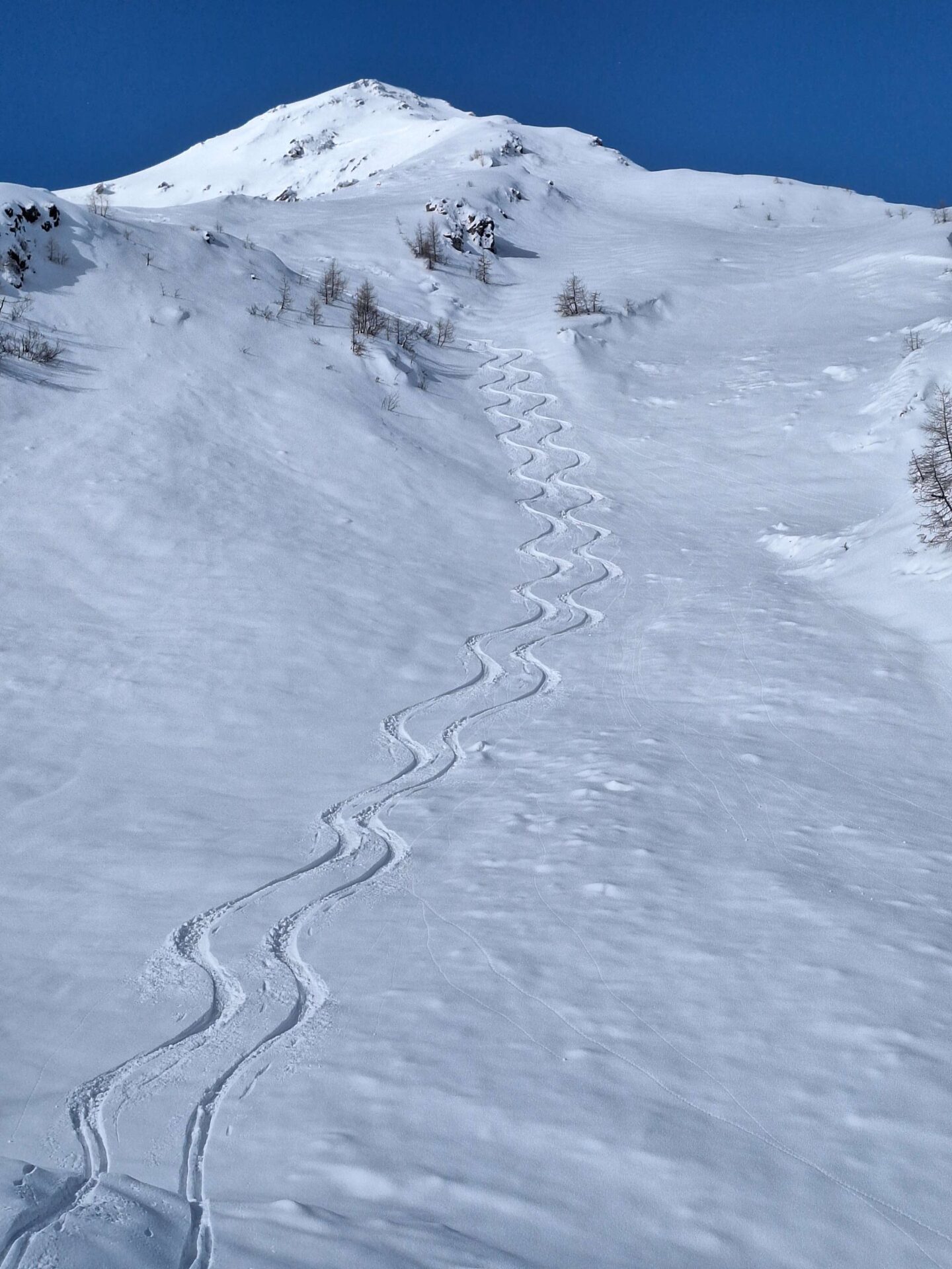
Following a phase of challenging snow conditions for skiers, the fresh snow was welcome (which fell as powder with little wind).
For a brief spell: trigger-prone snowdrift masses, loose-snow avalanches and a few glide-snow avalanches
Particularly in the regions where snowfall was heaviest, we got a few reports of small slab avalanches. These were invariably from freshly generated snowdrift accumulations. Danger of taking a fall outweighed that of being buried in snow.
What’s next on the horizon?
Variable weather conditions
Following a very warm Friday on the 16th, February will bring us a weak cold front during the night and a few cm of fresh snow, thereafter pleasant weather conditions through Sunday and, starting on Monday, some precipitation.
Favorable avalanche conditions
Not much change is expected in the current favorable avalanche scenario: latent gliding snow problem, some loose-snow avalanches and isolated snowdrift accumulations.
Snow quality is expected to deteriorate (again).
Radiation impact and (some) wind will have an increasing effect on snow quality. Melt-freeze crusts will be frequent in all aspects.