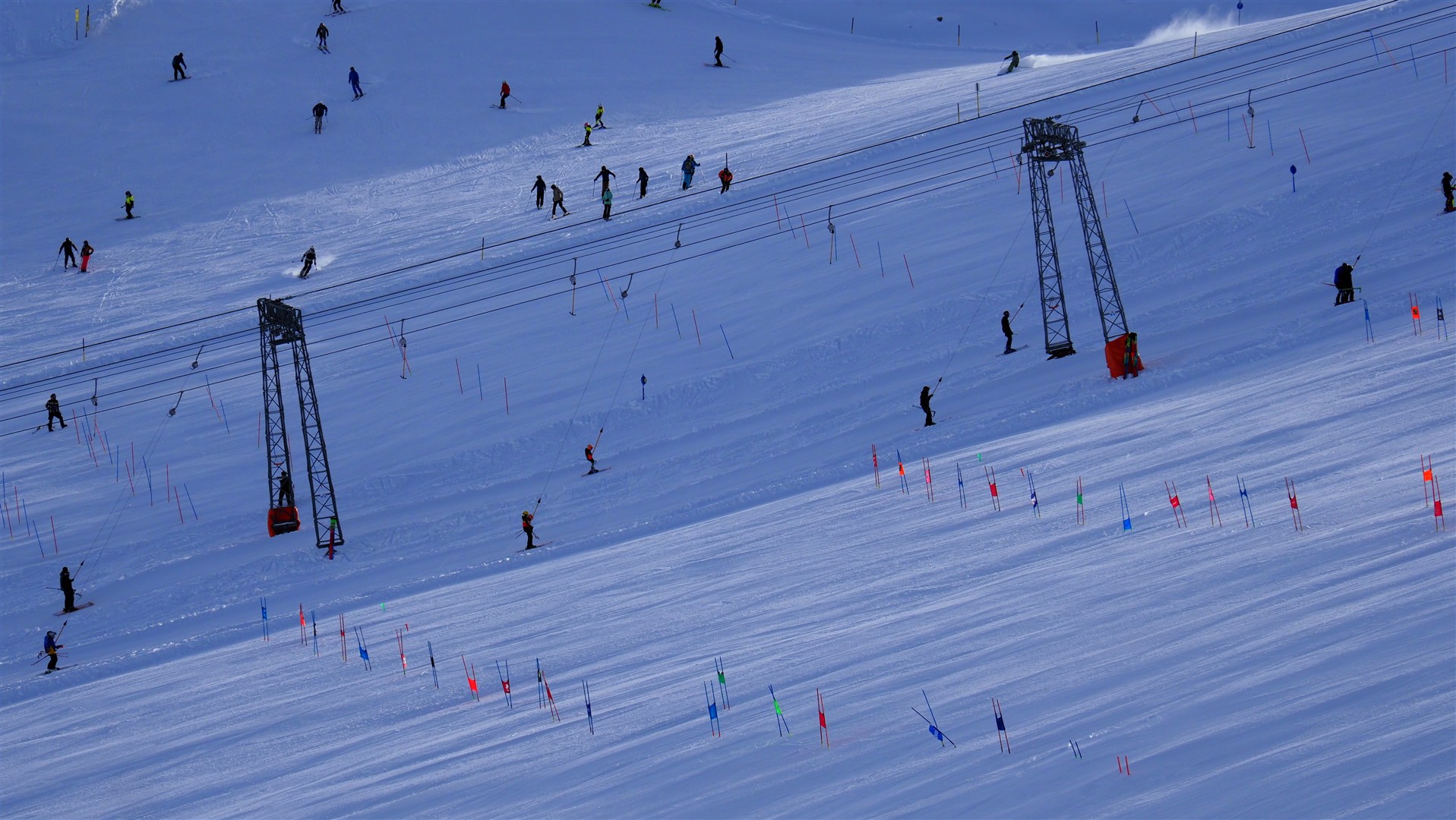
Noticeable fresh snowfall in northwestern regions. Glide-snow slides on steep grass-covered slopes in major snowfall regions. Fresh drifts in the heights require caution.
Weather
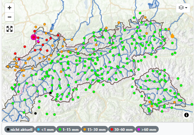
In the northwestern regions of Tirol, there has been 20-40cm of fresh snow registered at high altitudes since 17.11.2026.
Forecast
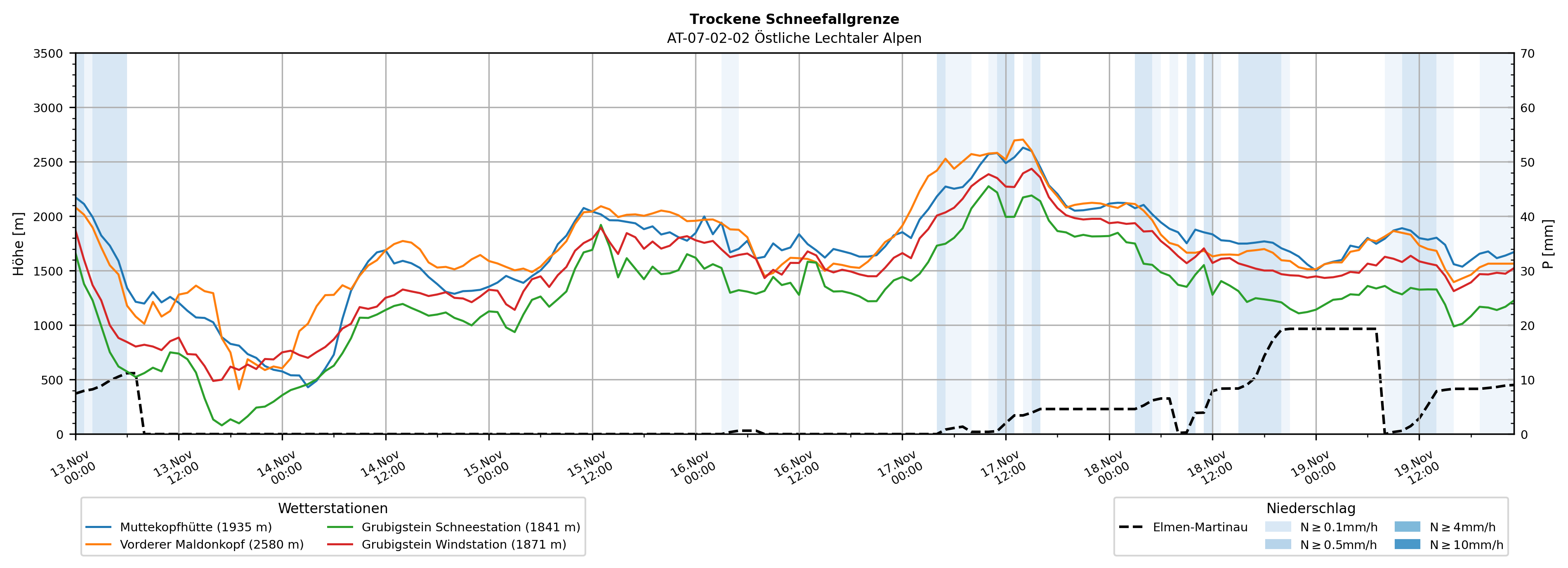
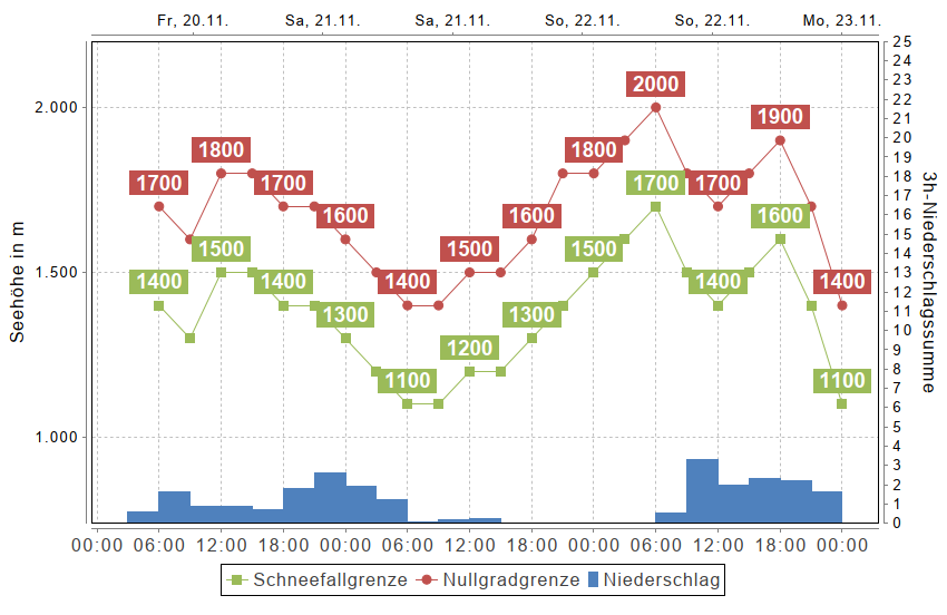
On Friday night, 20.11, a cold front will bring particularly to the northwestern barrier cloud regions an initial round of precipitation on the wings of strong-velocity northwesterly winds, with the snowfall level at approximately 1500m.
And starting Sunday midday, 22.11, precipitation will set in from the southwest which will continue until Sunday night. Winds will shift to southwesterly and slacken off somewhat, but still remain above snow-transport velocity. The snowfall level will descend to about 1000m.
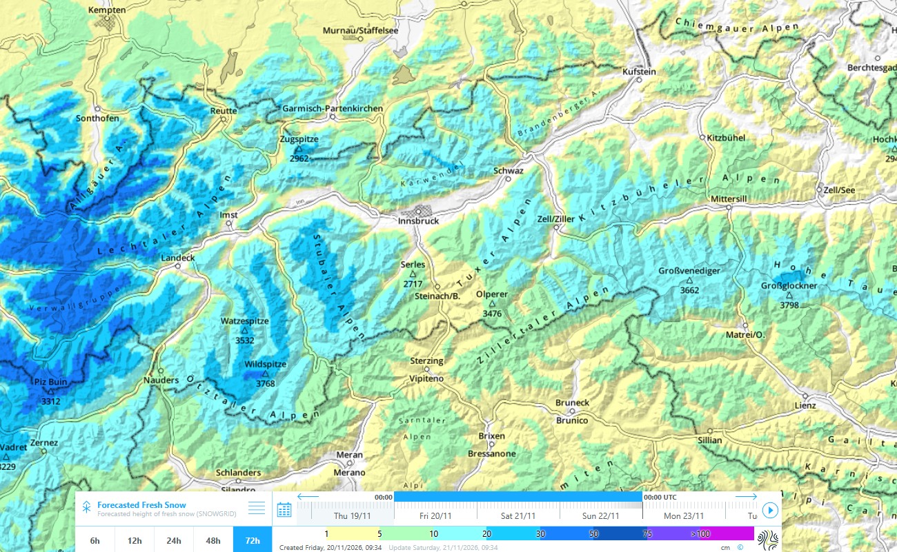
All in all, as much as 40cm of fresh snow is anticipated in the western regions. In the Ötztal and Stubai Alps, up to 30cm is expected, in the remaining regions less, generally between 10-20cm.
Snow cover
Let’s examine the snowpack prior to the above-mentioned snowfall. We distinguish between a typical snowpack above approximately 2600m and below approximately 2600m.
Above appx. 2600m
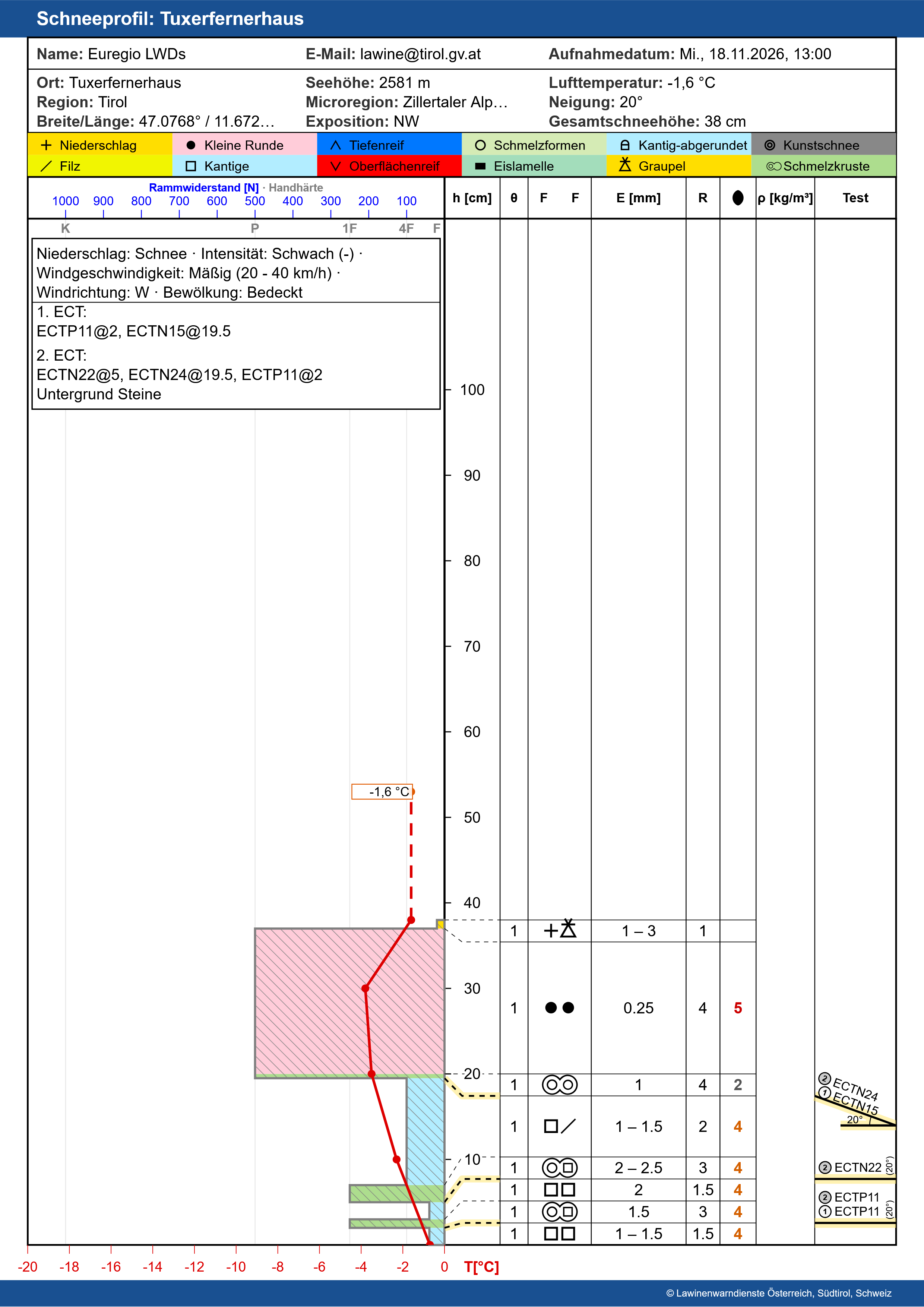
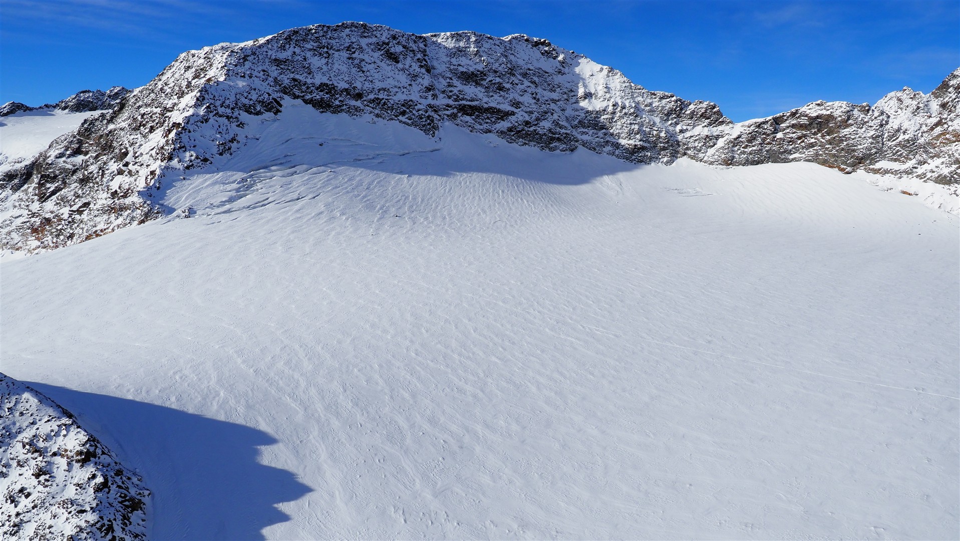
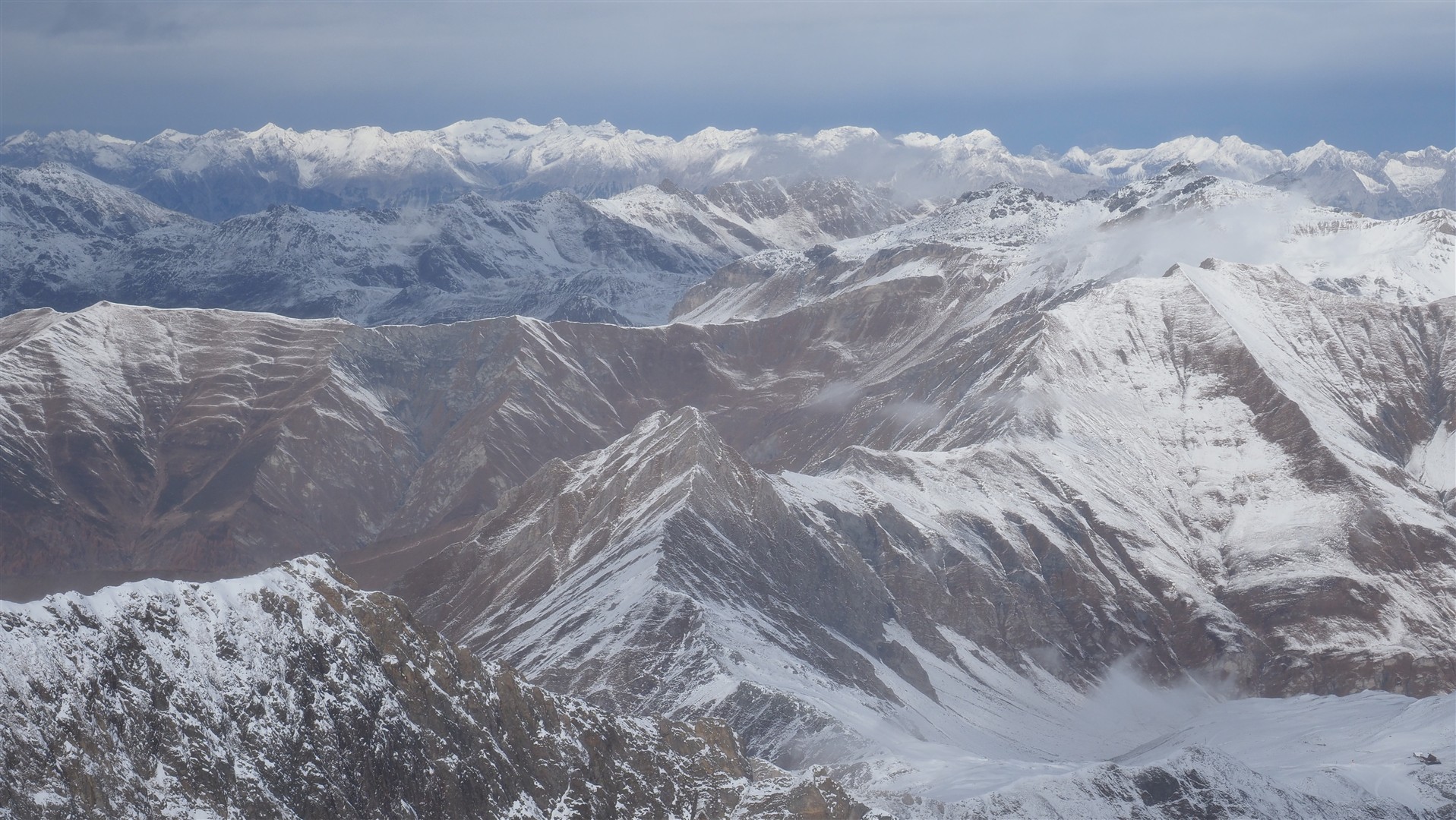
As mentioned in the last blog, a shallow snowpack was able to form during the last few weeks, particularly above 2600 metres along the Main Alpine Ridge, especially on shady slopes to begin with, with increasing altitude in all exposures. The snowpack there consists of several crusts near ground level as a result of the extremely variable weather developments. Between the crusts there are often faceted crystals. Whereas closer to the surface, layers generated by winds tend to dominate.
Due to the minor snow depths and high influence of winds, the snowpack apart from glaciated regions is cohesive only in gullies, bowls and terrain near ridgelines, for the most part.
Below appx. 2600m
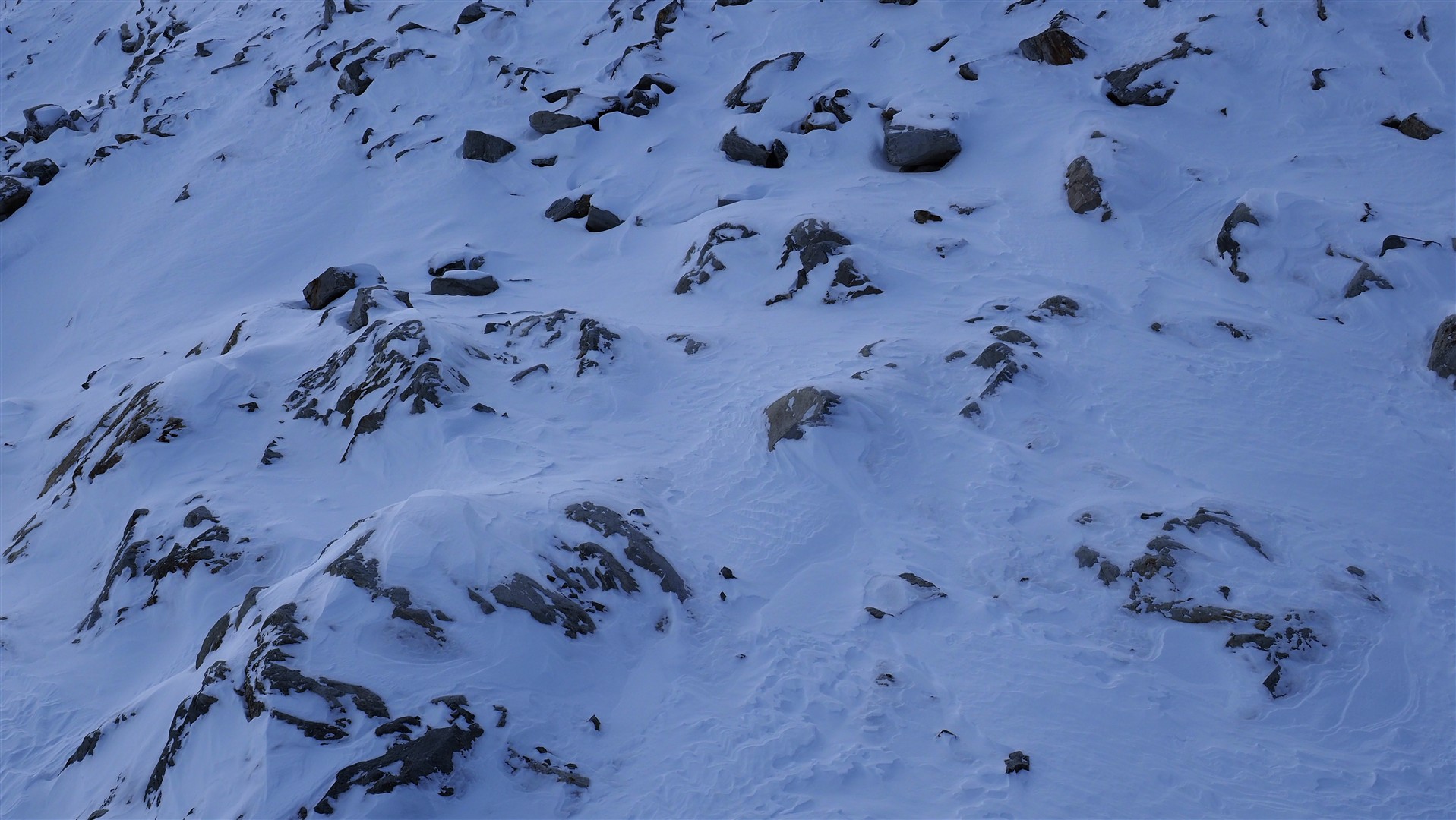
Prior to the snowfall over the last few days, there was at high altitudes only a very shallow snowpack which was not cohesive. For that reason, in these zones we needn’t have any worries about the above-mentioned weak layers with faceted crystals.
Effects on avalanche danger
Fresh snowdrifts in the heights
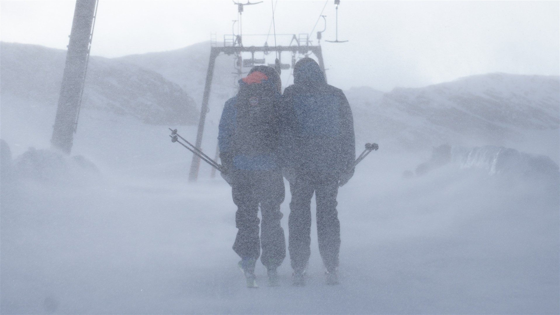
As a result of fresh snowfall and storm-velocity winds, snowdrift masses will be freshly generated at high altitudes during Friday night, 20.11, which will be plentiful and marked in western regions. Caution is required particularly on steep, shady slopes and in very steep leeward areas. We expect this to be a short-lived problem.
Possible weak layers near-ground level
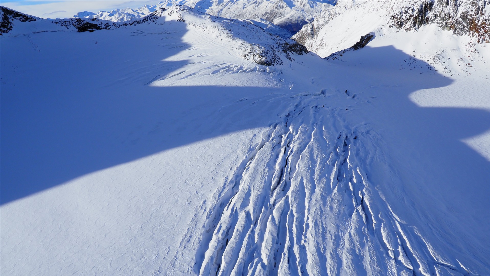
In glaciated steep terrain along the Main Alpine Ridge and on shady slopes above approximately 2600m, the fresh snowfall will be deposited atop a snowpack which possibly has faceted weak layers near ground level. Fractures inside these layers are conceiveable in very steep terrain with appropriate burdening of the snowpack. Avalanches can attain medium size, particularly in the major regions of snowfall. Caution is urged particularly behind sudden drops in the terrain, in gullies, bowls and near the foot of rock walls.
Gliding snow
In the western regions of Tirol where there will be the most snowfall, caution is additionally urged on steep grass-covered slopes, where generally small to medium-sized glide-snow avalanches are possible.
Outlook
The weather developments for next week are still very uncertain. Heavy precipitation or a genuine onset of winter down to low-lying areas does not appear to be on the agenda at the moment. Frequency of danger zones in outlying terrain will tend to decrease.
Reporting conditions
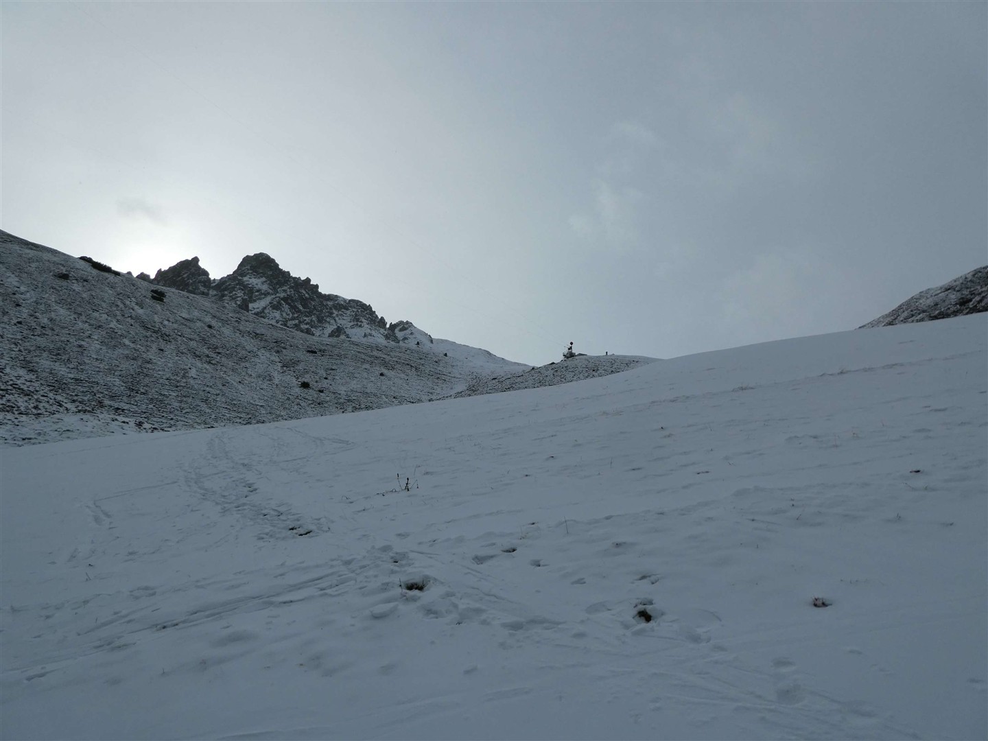
We still have relatively little information available to us from outlying terrain. For that reason, we look forward all the more to your reports of snow conditions, snowpack layering and avalanche dangers. Your observations can be easily transmitted to us on our SNOBS.LIVE platform.