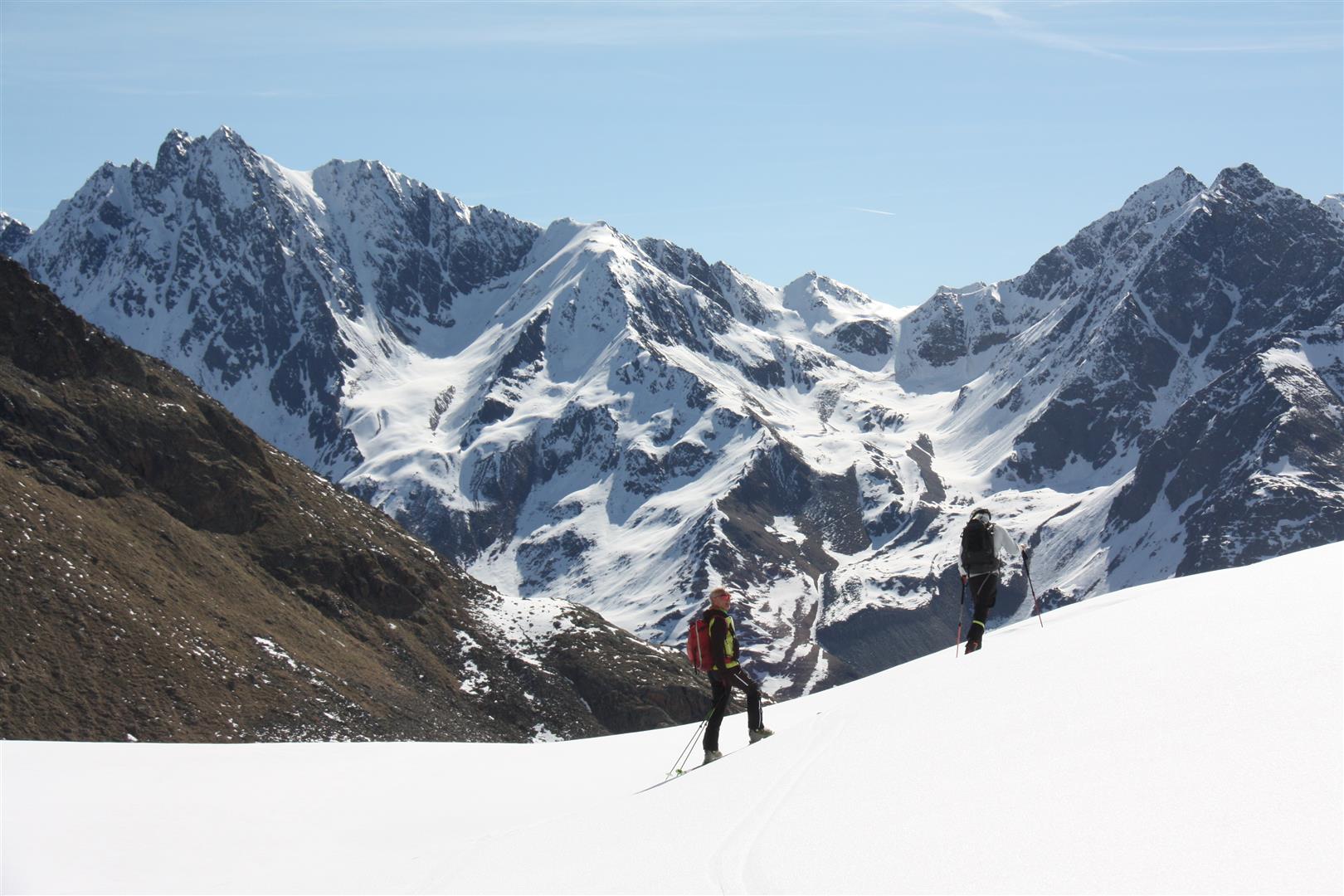
Pentecost weekend promises sunny, early summertime weather. The zero-degree level on Saturday, 23.05, is expected to reach 4000m.
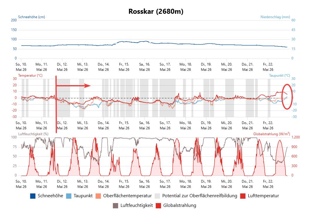
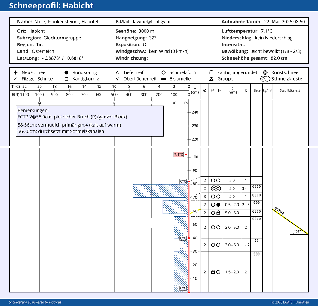
Currently there are barely any temperature reserves remaining in the snowpack. That means, it will rapidly become thoroughly moist to wet, also in high alpine regions.
This will weaken the snowpack measurably and lead to naturally triggered avalanches, including large-sized releases, particularly above 2600m. Moreover, avalanches will be triggered quite easily by persons.
Early-summertime temperatures
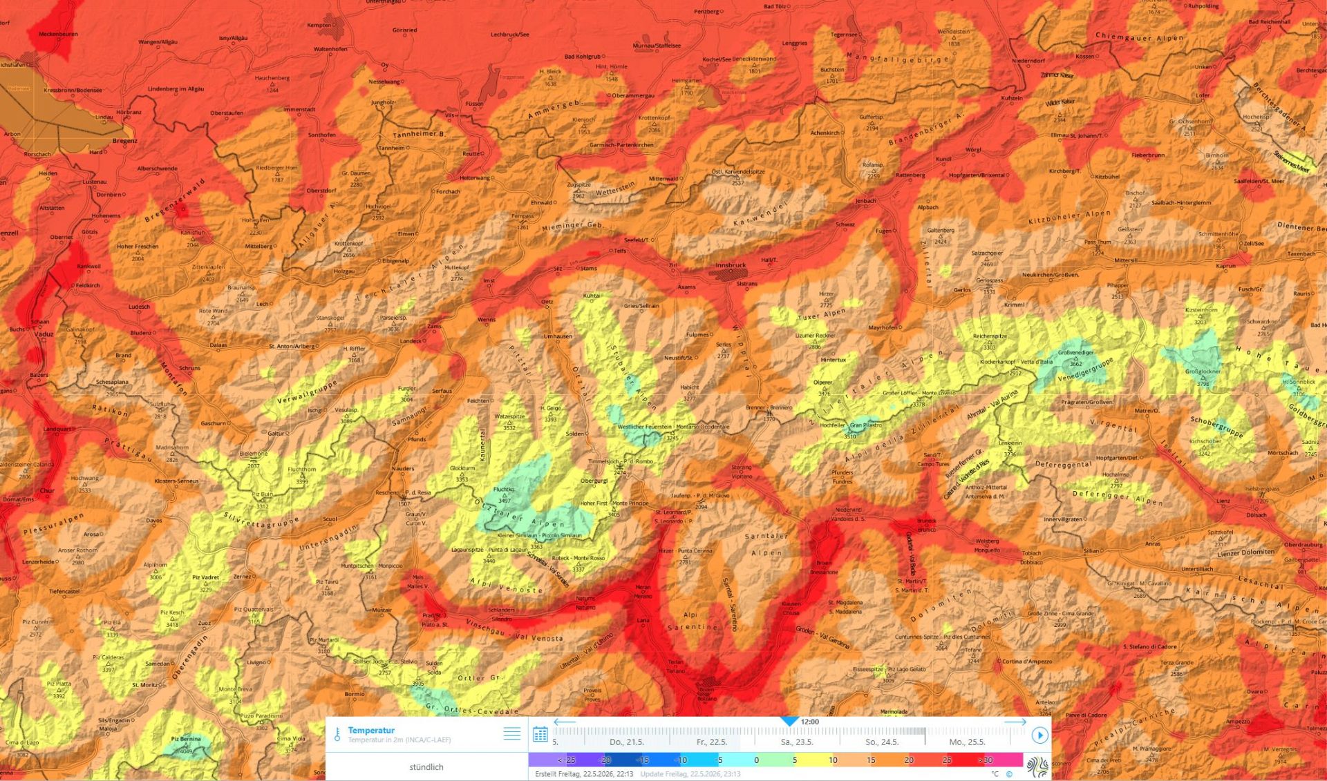
A sub-tropical high pressure front will bring us exceptionally warm, dry and stable weather conditions over Pentecost weekend, according to Geosphere Austria. Tomorrow on Saturday, 23.05, the warmest day of the day thus far is anticipated. The zero-degree level will reach about 4000m.
Rapidly weakening snowpack – heightened avalanche danger
Although the next few nights are expected to have clear skies, any nocturnal cooling will be quite limited, due to already drastically reduced temperature reserves and high air temperatures.
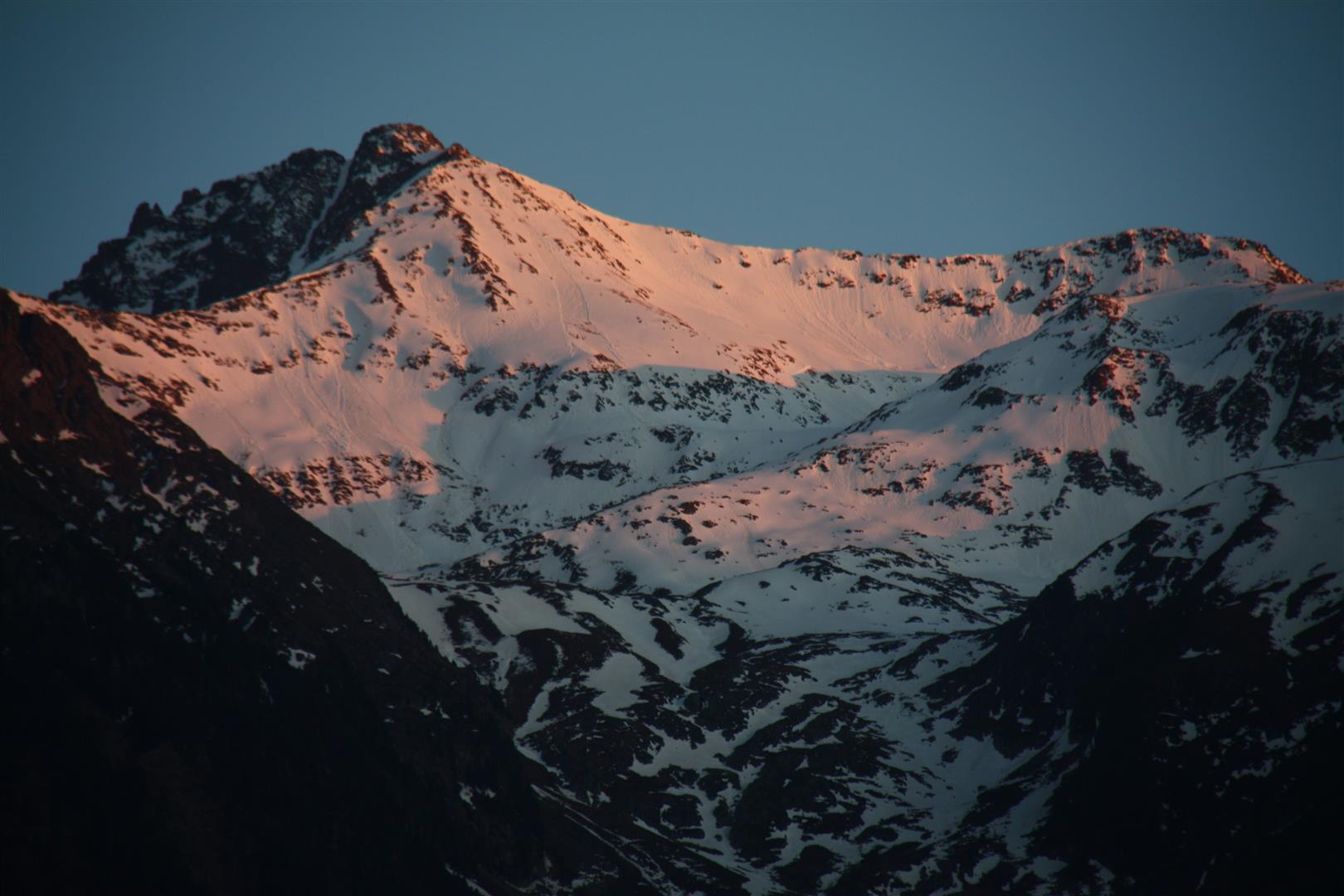
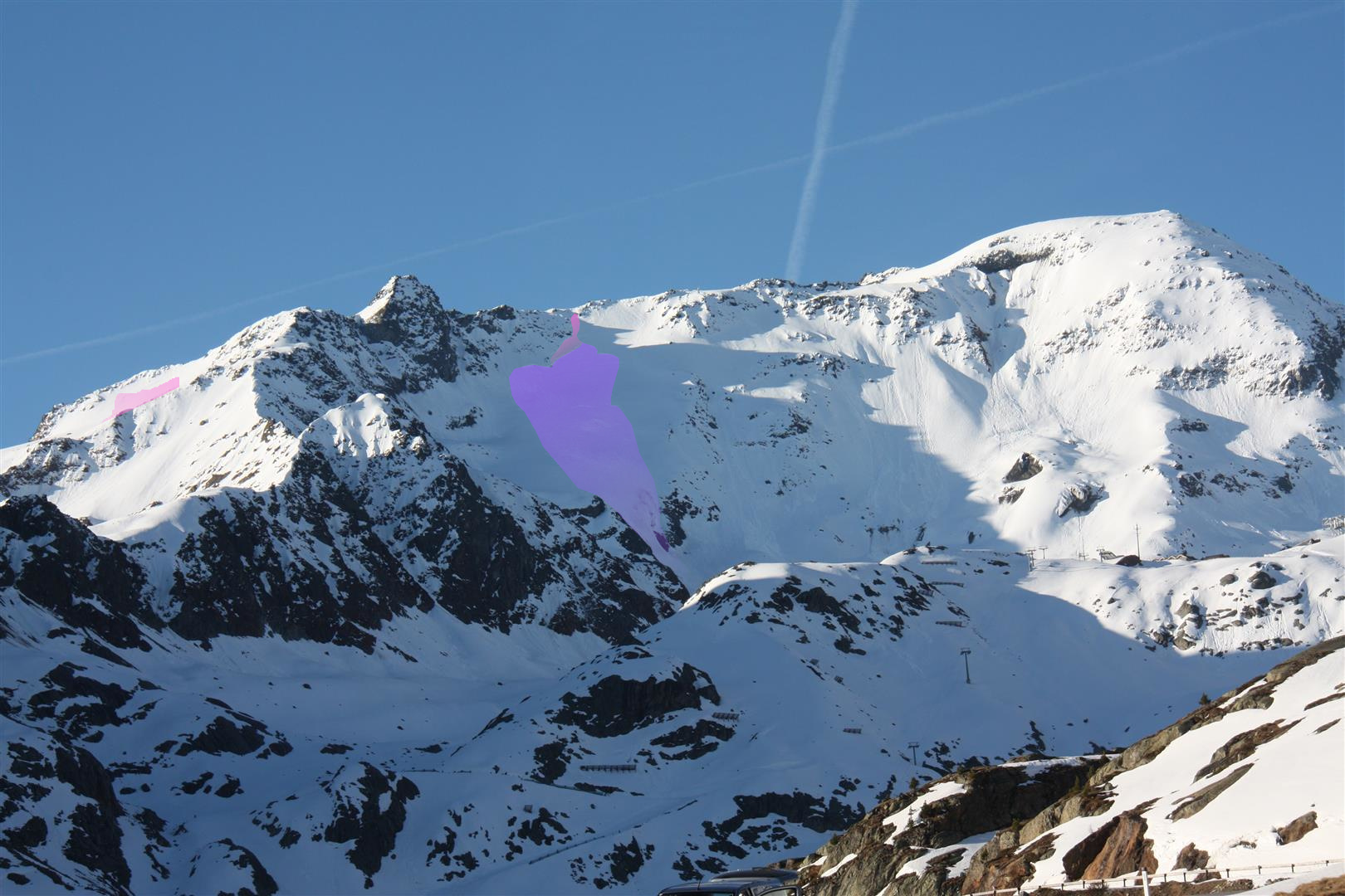
Sunset and start of outgoing shortwave radiation (slight) of the snowpack. Grieskogel Massif (©LWD Tirol, 22.05.2026).
Concretely: even if you launch a backcountry tour early, the time-window is very small (during which the snowpack will remain stable and firn snow can be enjoyed). The generally thin melt-freeze snow crust which forms at night will swiftly become thoroughly wet when exposed to solar radiation and rising temperatures. Water then penetrates down to deeper layers and weakens even ground-level weak layers formed in early winter, weakening near-surface weak layers in some places a further degree. The result: naturally triggered slab avalanches can be expected. This will occur most of all on shady slopes above 2600m, on west and east-facing slopes above about 3000m.
In equal measure, the likelihood of avalanches being triggered by persons (including both slab and loose-snow avalanches) will rapidly increase even in the morning hours. This applies particularly to zones above 2500m.
Avalanches can fracture even in ground-level layers and grow to large size. It is also conceiveable that small avalanches triggered by persons in extremely steep terrain lead to wet loose-snow avalanches as a result, which in turn sweep away increasing masses of wet snow and thereby reach great magnitude.
A brief review
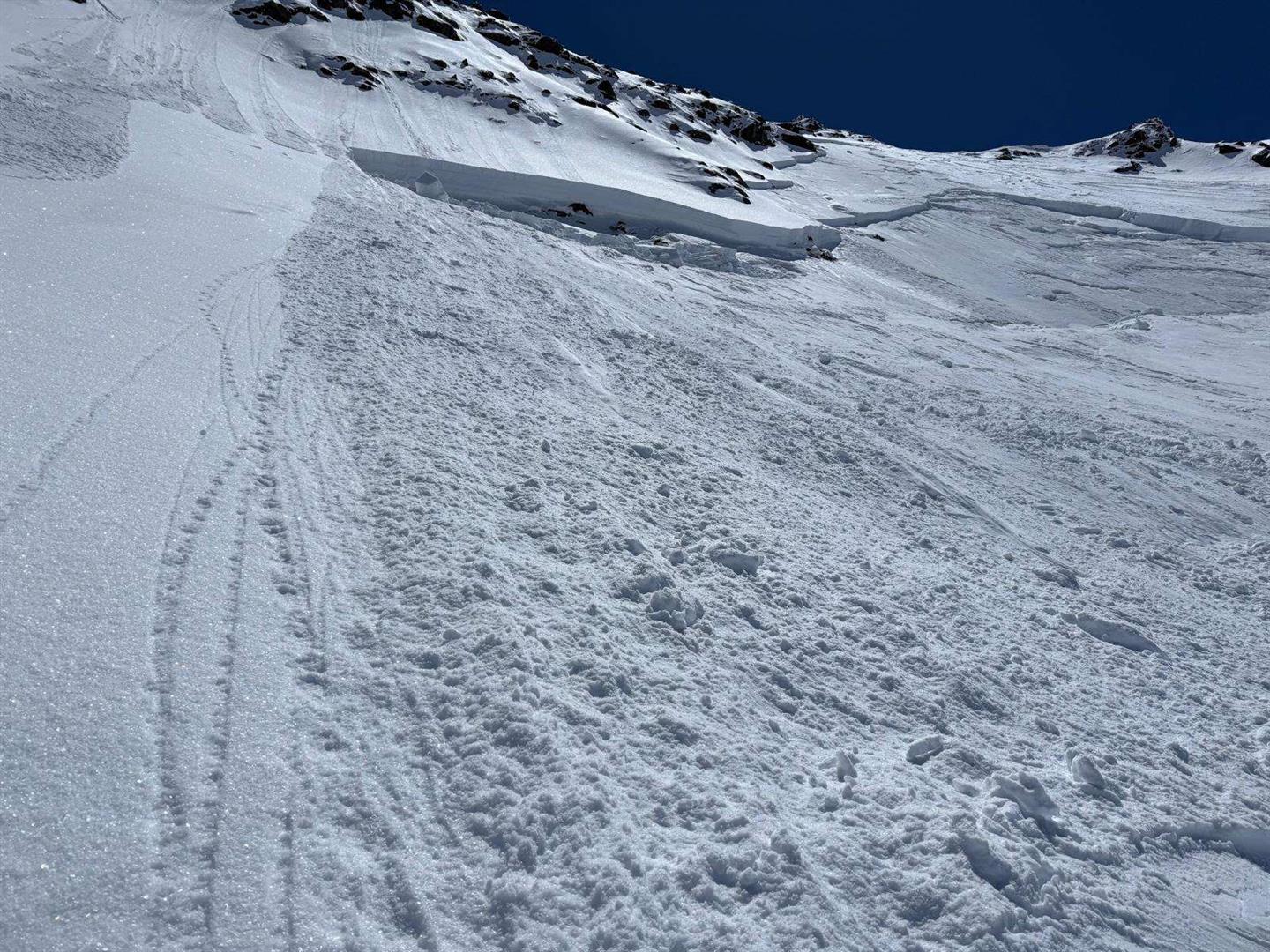
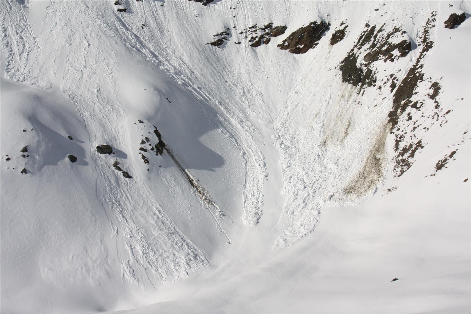
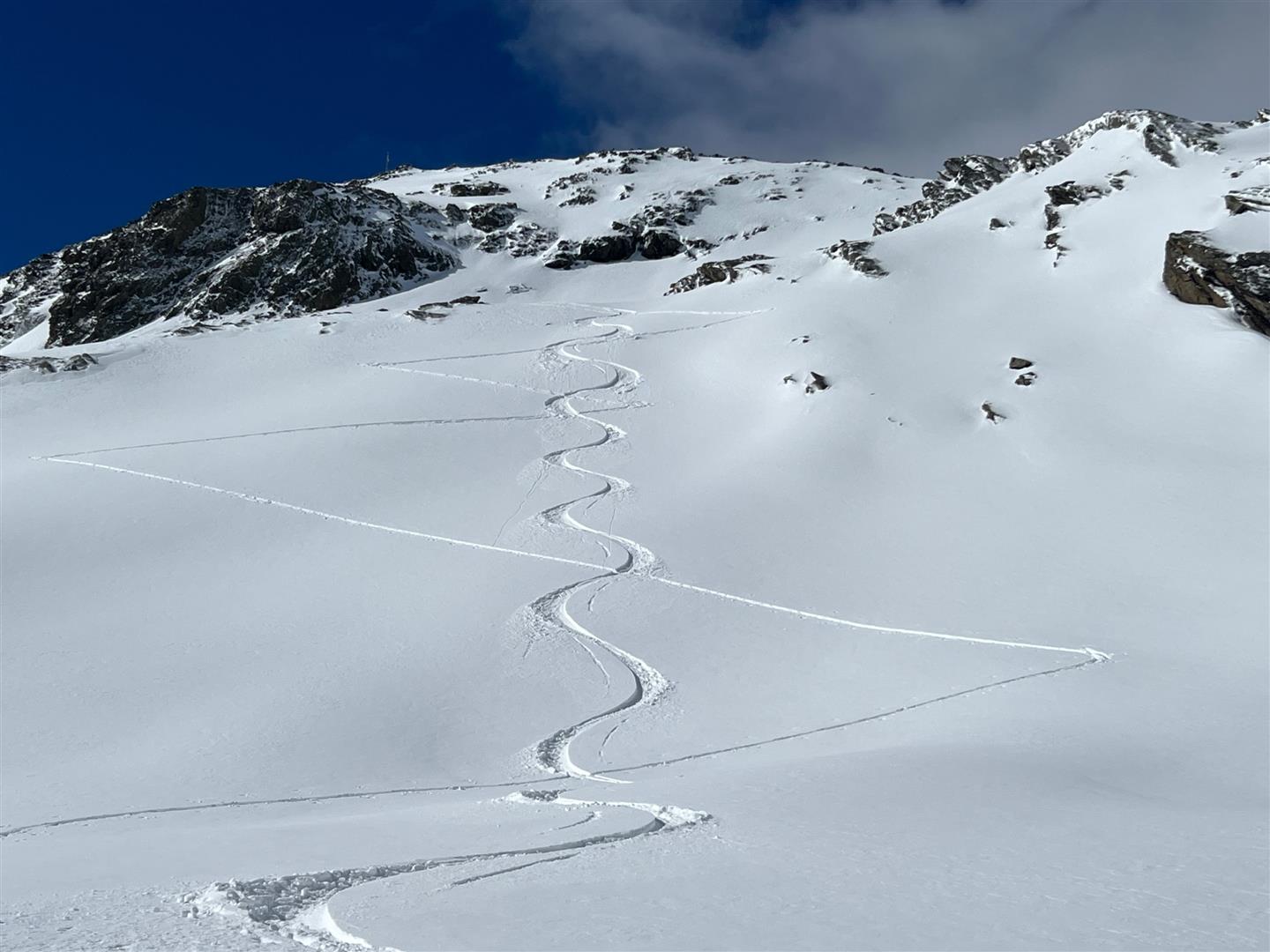
Last week, several avalanches triggered by persons were reported to us. Most of them released in near-surface layers which were either snowed over starting on 11.05 or generated then (see Blog).
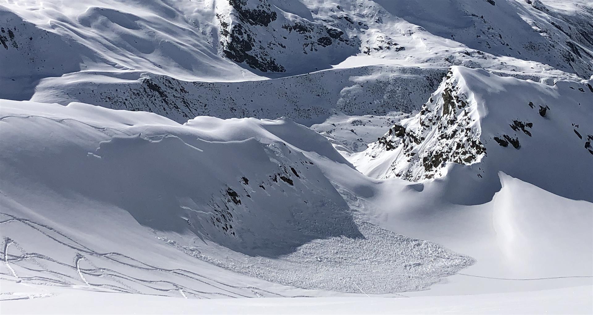
Below the Weißseespitze in the Glockturm Massif, luck played a major role. On and extremely steep north-facing slope, primarily a near-surface slab avalanche triggered during the descent. Through the burden of the plummeting snow masses, the snowpack subsequently broke down to ground-level weak layers from early winter. This together grew to a large-sized avalanche. No one was injured.