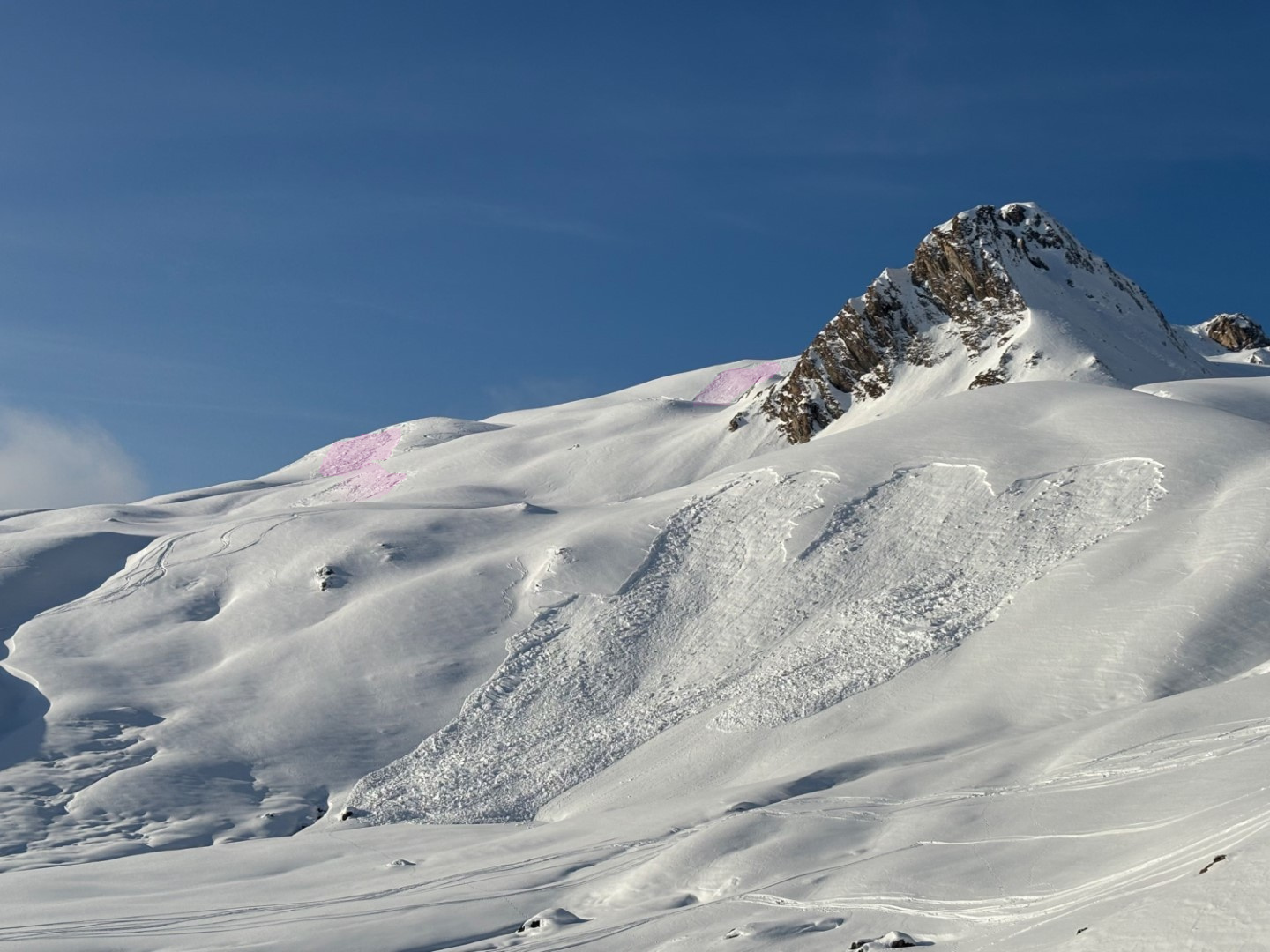
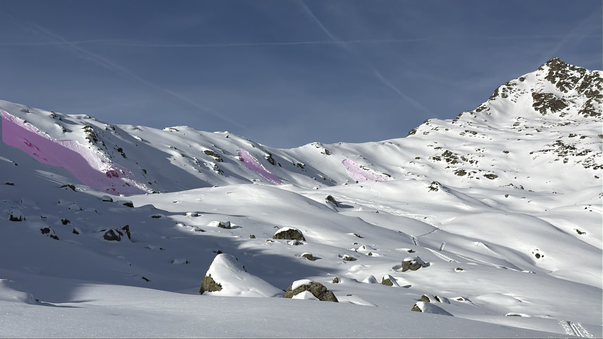
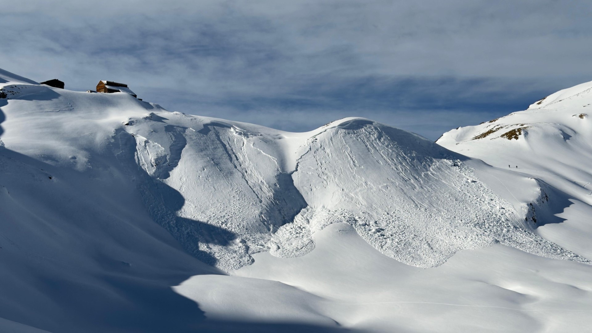
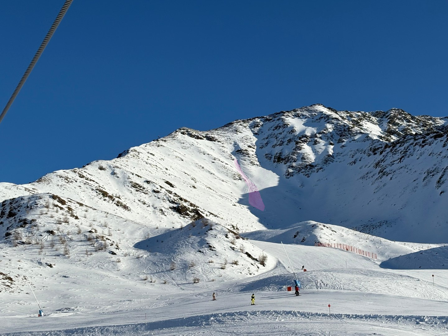
All last week we were confronted by a rather treacherous avalanche situation. The dominant problem: persistent weak layers.
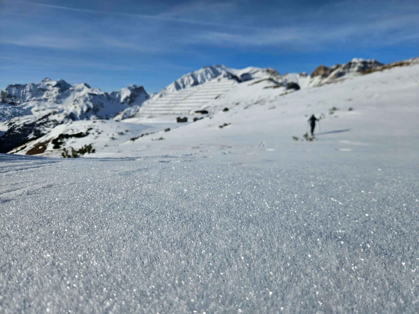
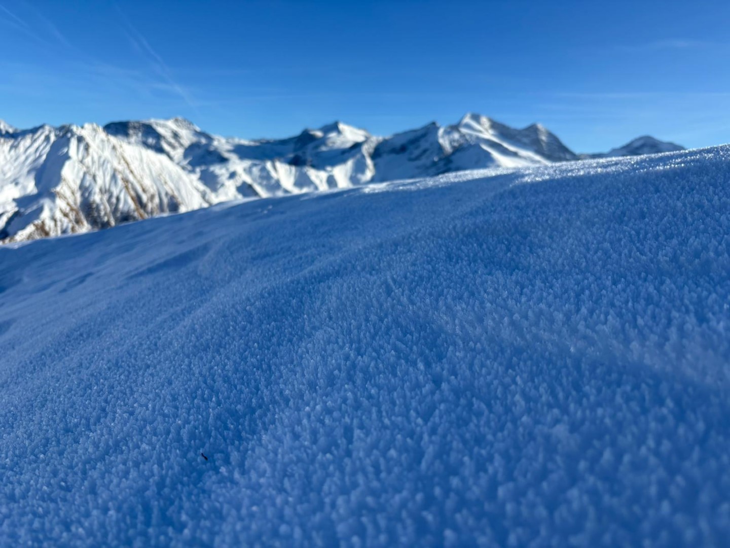
In the interim it is clear, at least in those regions with less snow, how the near-surface layers are metamorphosing expansively to an increasing degree or else are going through melt-freeze processes on very steep sunny slopes. This decreases the likelihood of winter sports enthusiasts triggering avalanches.
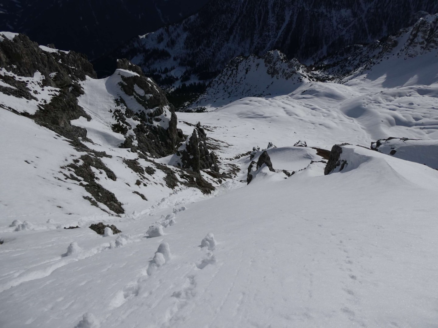
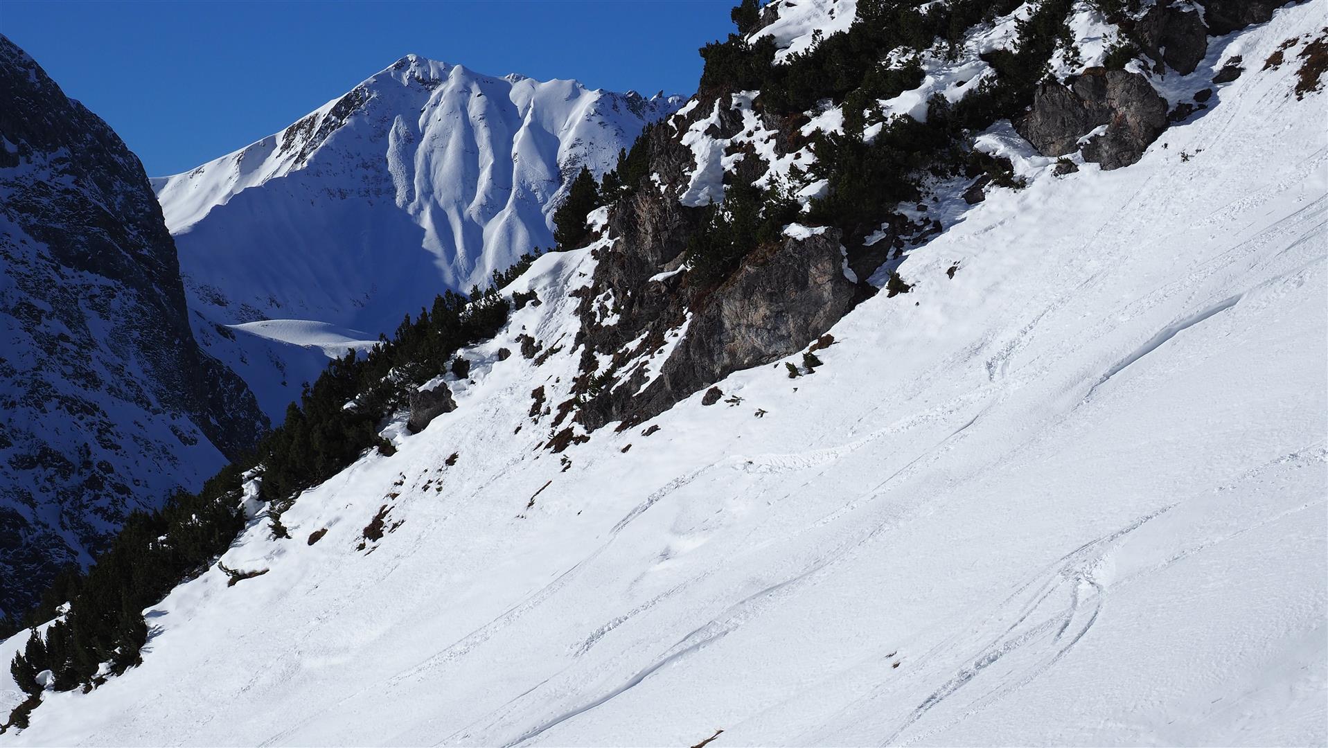
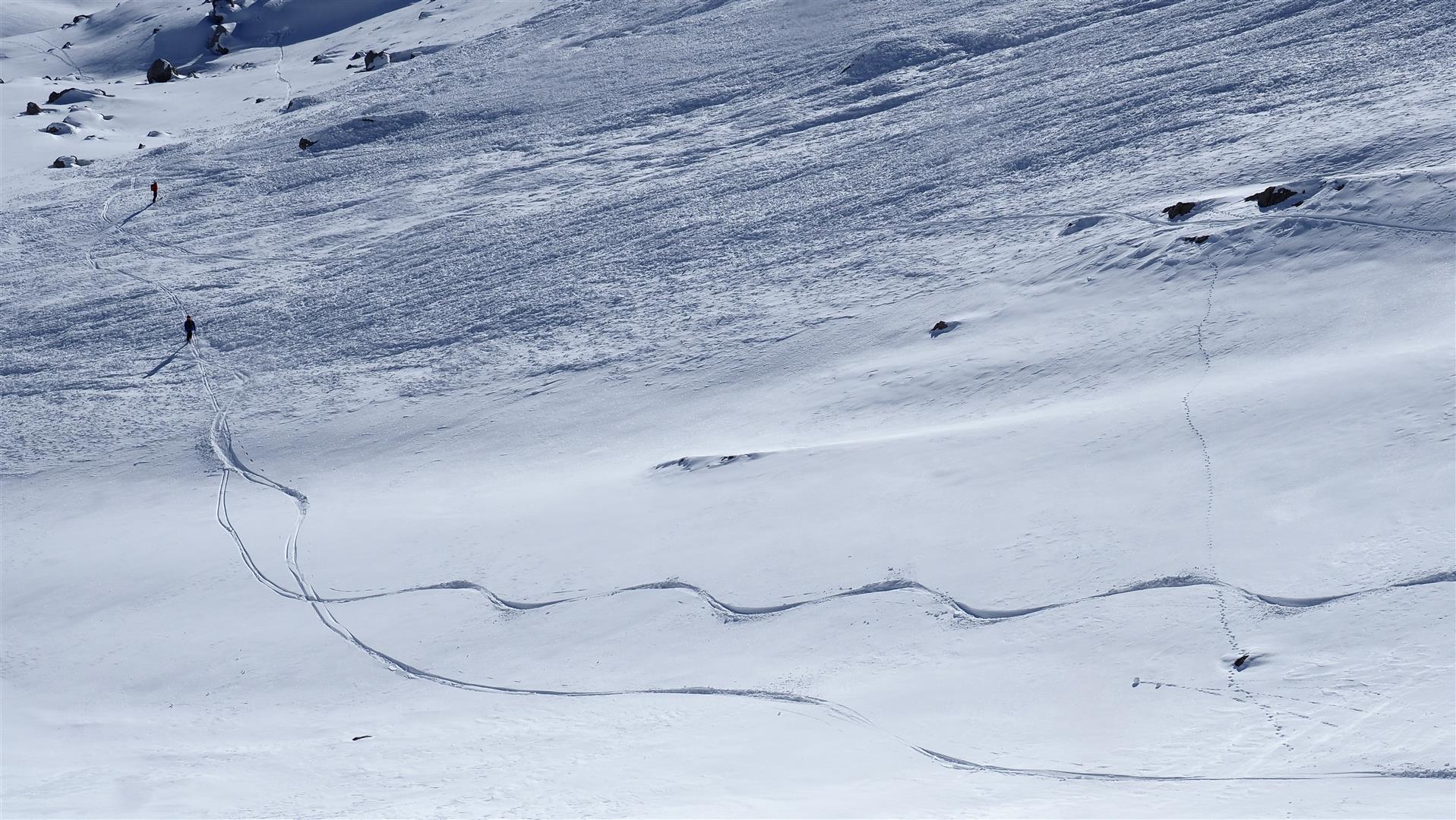
Nevertheless: the situation remains treacherous in some regions. Heightened caution is still necessary, particularly on very steep north and east-facing little skied-on slopes.
A long avalanche interval is evolving into a “normal” situation
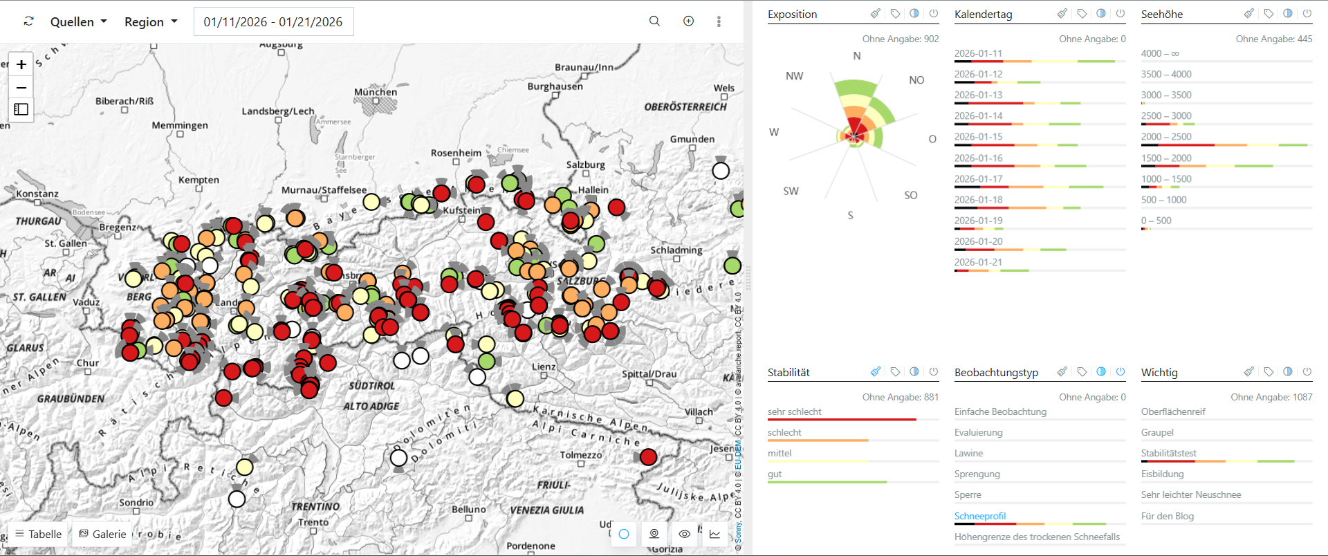
The“avalanche interval” which began, at latest, on 11.01.2026 (see Blog) persisted into this week. We had a great many avalanche triggerings involving persons, most of them on 11.01.2026. The first day when we received no further such reports was 22 January .
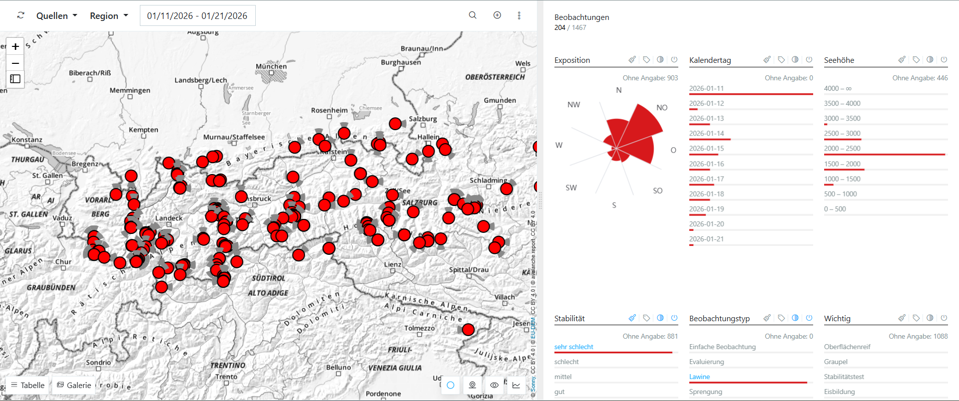
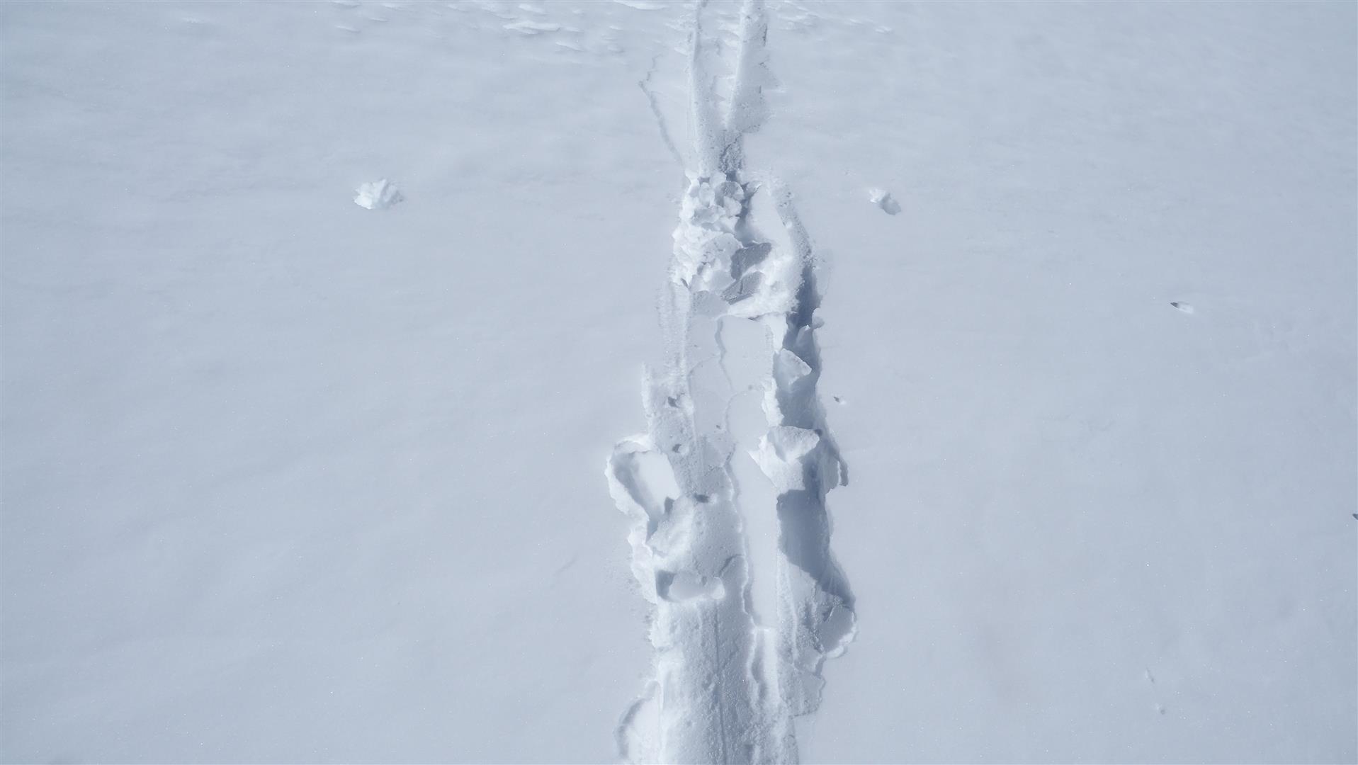
Also reports of remote triggerings went on for unusually long: until 17.01. The last report of settling noises reached us on 21 January.
Meanwhile we also see in numerous snowpack analyses, both those we carried out ourselves and those reported to us, that the number of danger zones is slowly but steadily decreasing. On the one hand (and predominantly) this is because the slab formation has changed: particularly in regions with less snow on the ground, on clear cold nights the process of expansive metamorphosis has set in, which loosens the snow crystals; on south-facing slopes, melt-freeze processes have started. Triggering of an avalanche is becoming less likely, as is fracture propagation.
And also, very gradually the dominant weak layer (usually near the rain crust of 08.12.2025) is beginning to bond better with the surrounding layers. Here the emphasis lies on “very gradually” because very soft weak layers of faceted crystals and/or rotten snow still occur. Nevertheless, we also see an ongoing, very slow crust formation of crystals inside the weak layer.
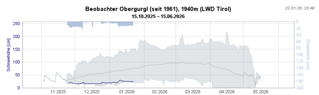
The (very) sparse-snowfall winter continues
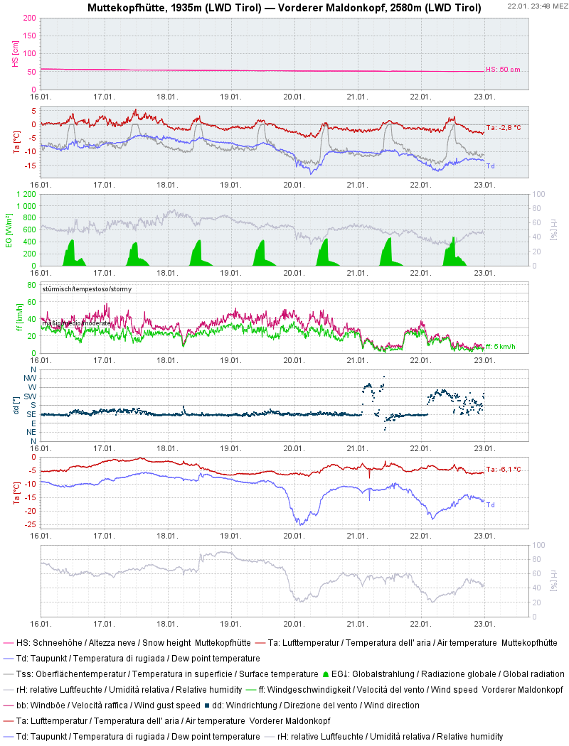
In many regions, this winter is extremely low in snowfall. From our long-term observation stations, we see some of them nearly reaching minimal values.
Further effects of weather on the current snow structure
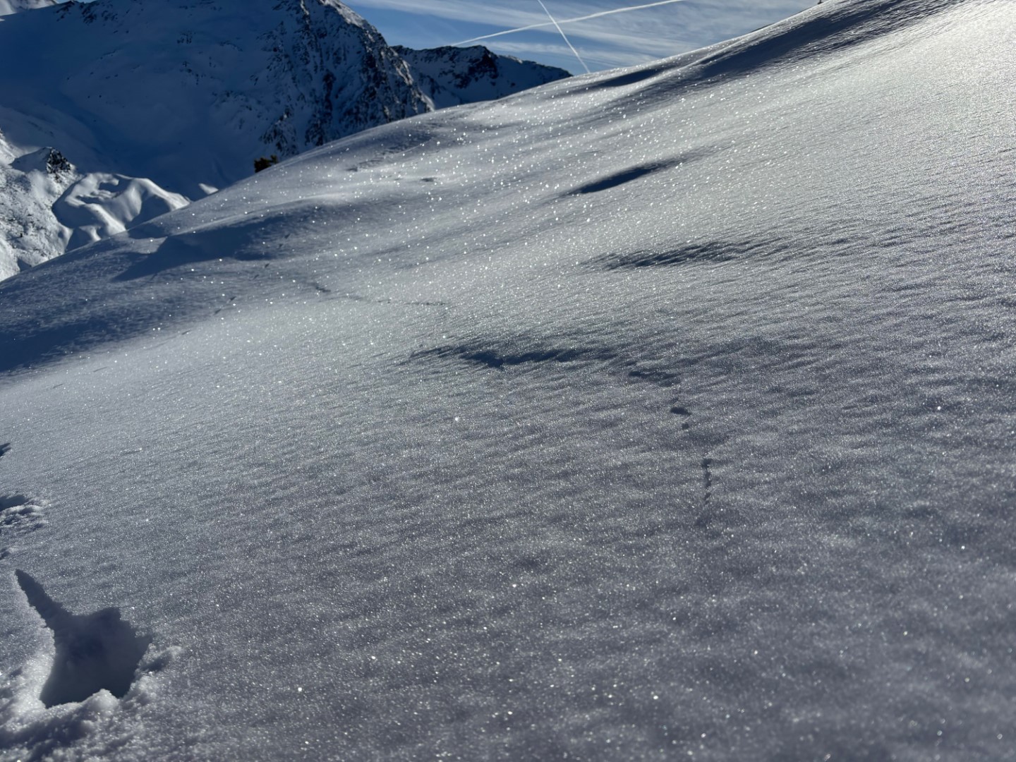
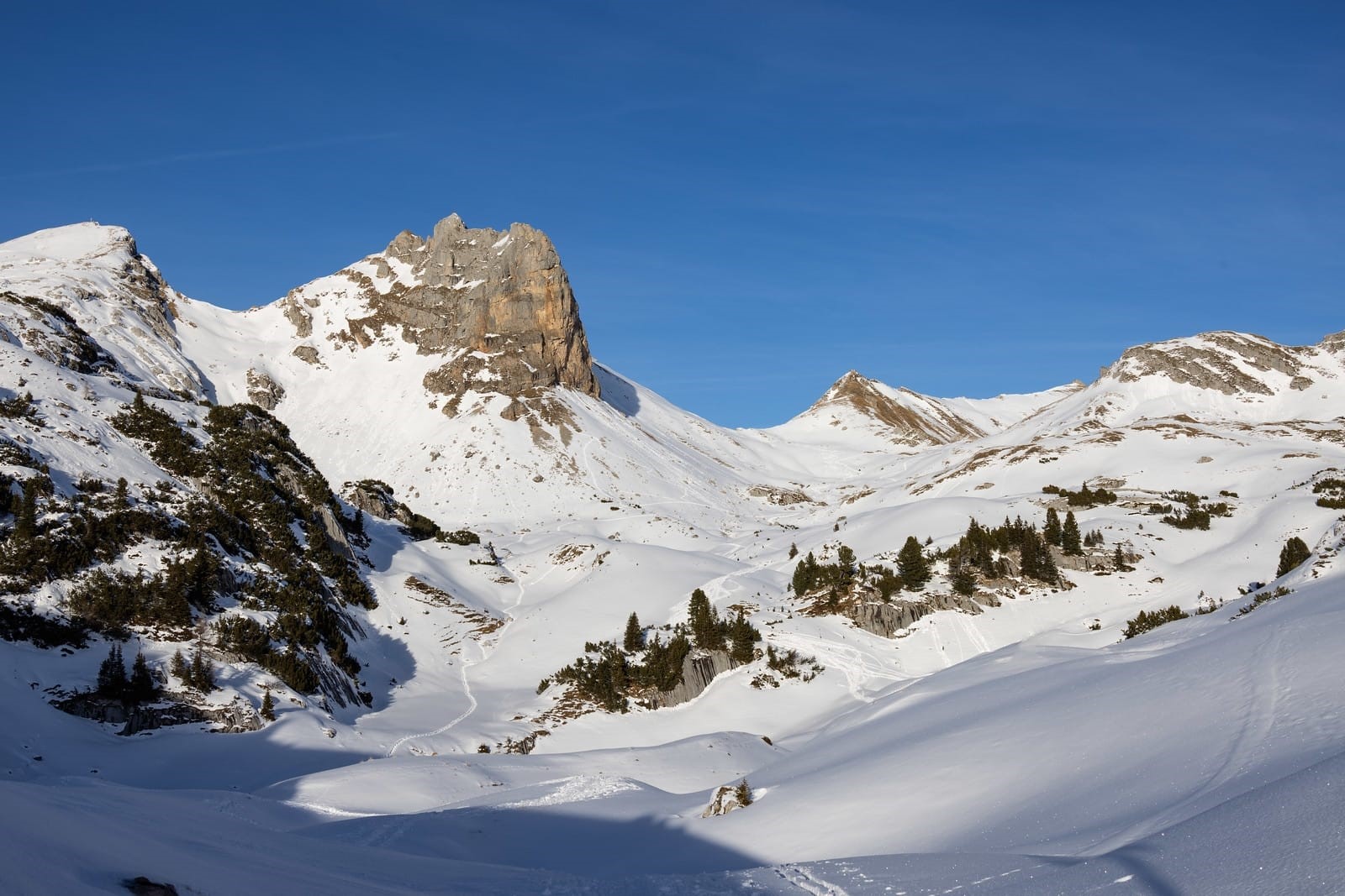
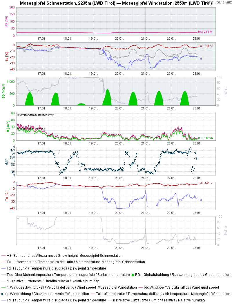
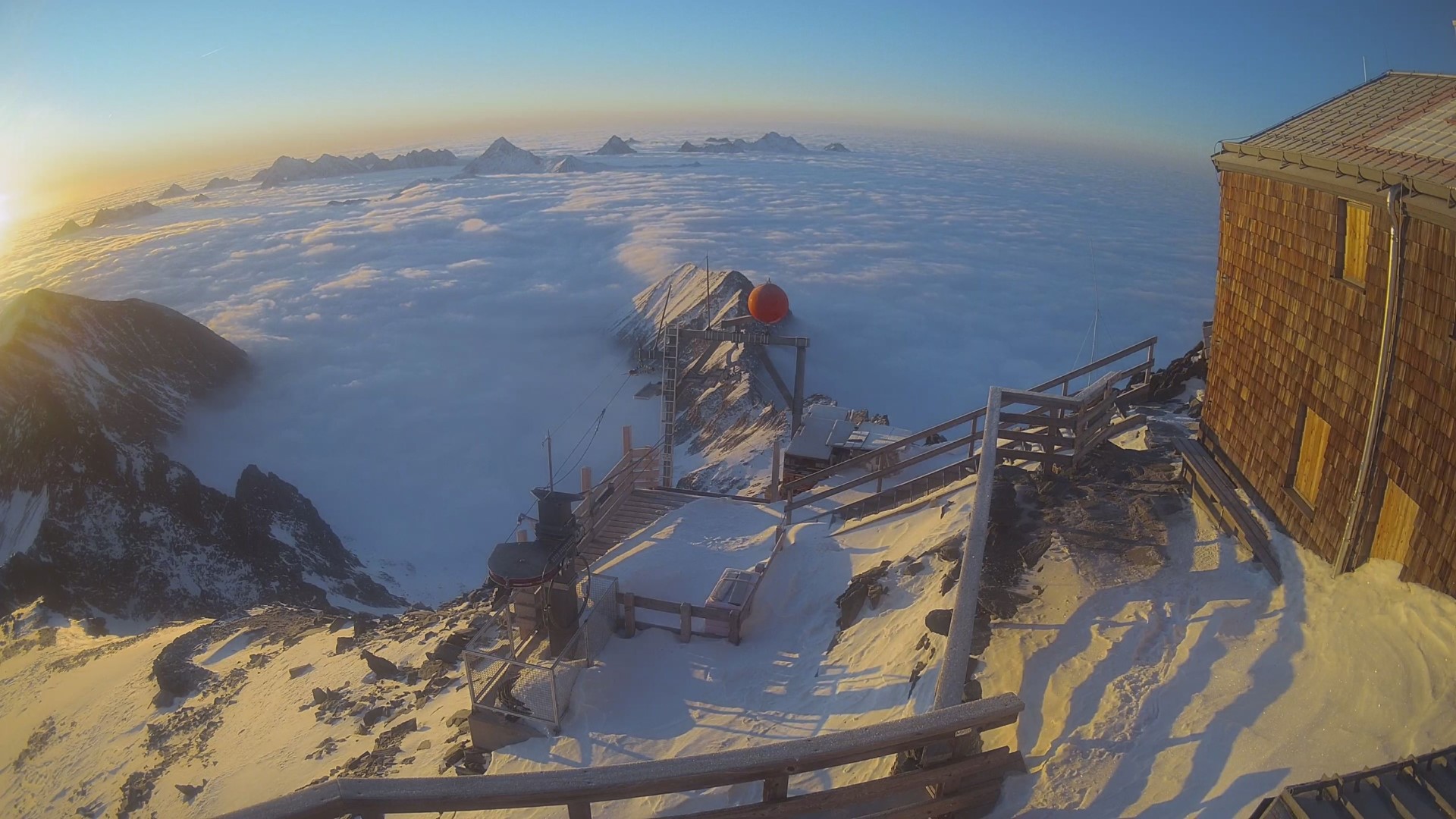
A glance at last week’s weather shows it split into two parts. In North Tirol, weather was mostly fine, whereas in the south between 17.01 and 19.01 a blanket of high fog reached nearly up to the highest summits. Strong-velocity southerly winds were an accompanying factor. The potential for snow transport was nonetheless low. In many places, there were prerequisites for formation of surface hoar.
What’s coming?
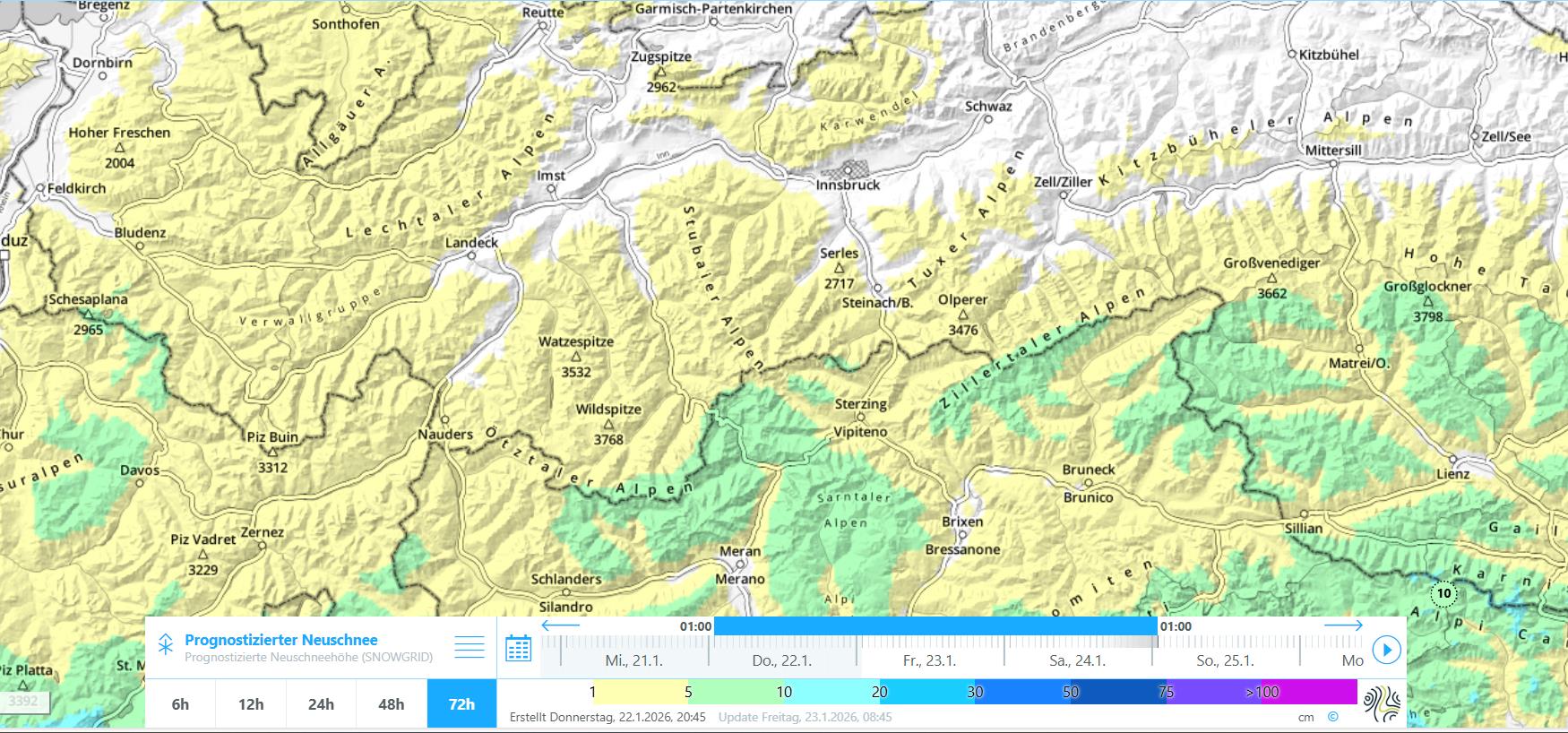
Very little snowfall in sight
According to Geosphere Austria (GSA), “high pressure influence is weakening further, Tirol is gradually facing the frontal side of an Atlantic low. Thus, the high-altitude air current will shift by Friday, 23.01.2026, to southwesterly, it will intensify and bring some moist air masses to high altitudes. In North Tirol, moderate-intensity foehn winds will arise, in southern regions the moist air will be locked in the barrier cloud regions of the mountains. On Saturday, a weak cold front will pass through, followed by a brief improvement on Sunday in North Tirol only, in East Tirol it will be wetter on Sunday.”
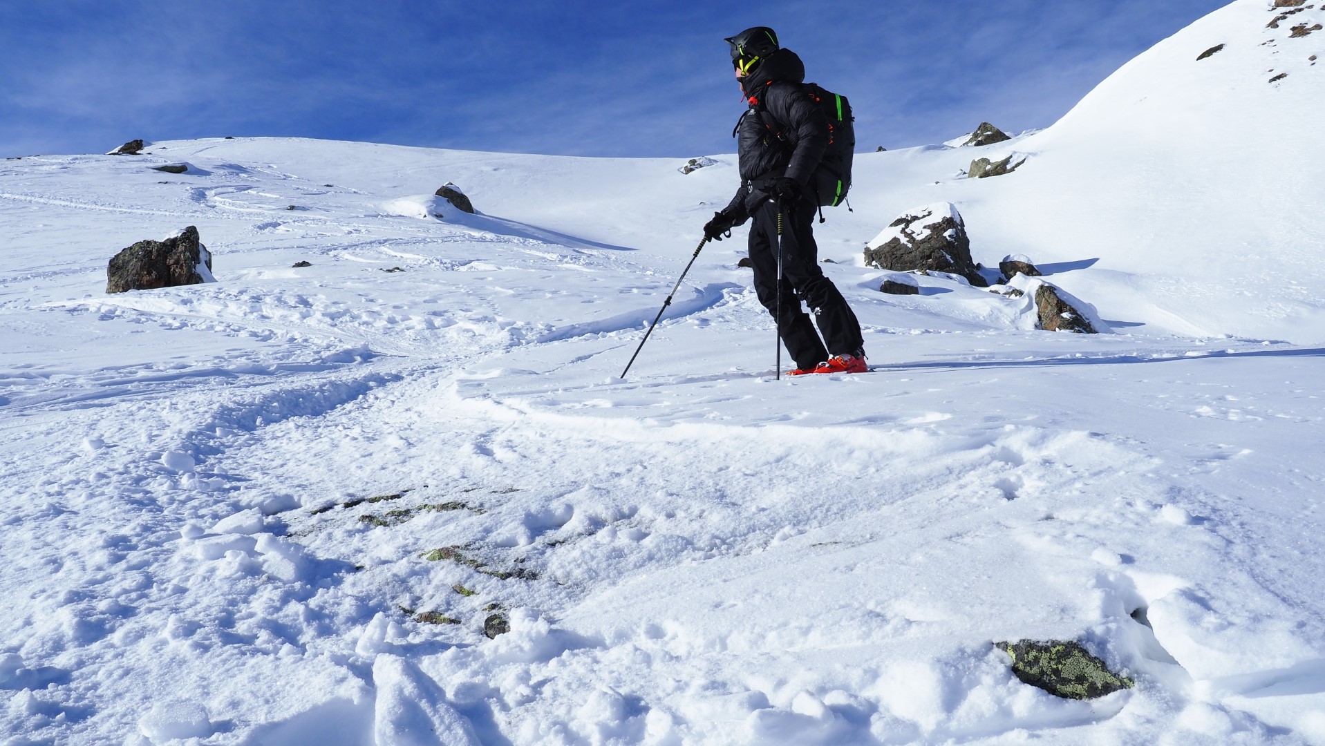
In high alpine regions, the general weak persistent layer problem and also freshly generated small snowdrift accumulations require continued caution. Wherever snowdrifts get deposited atop surface hoar, higher proneness to triggering can be expected. With ample experience of backcountry terrain, these situations can easily be recognized.