Die zunehmende Durchfeuchtung der Schneedecke bedingt auch eine erhöhte Gefahr des Durchbrechens in die Schneedecke.

Favorable avalanche conditions give way to increased wet-snow problems

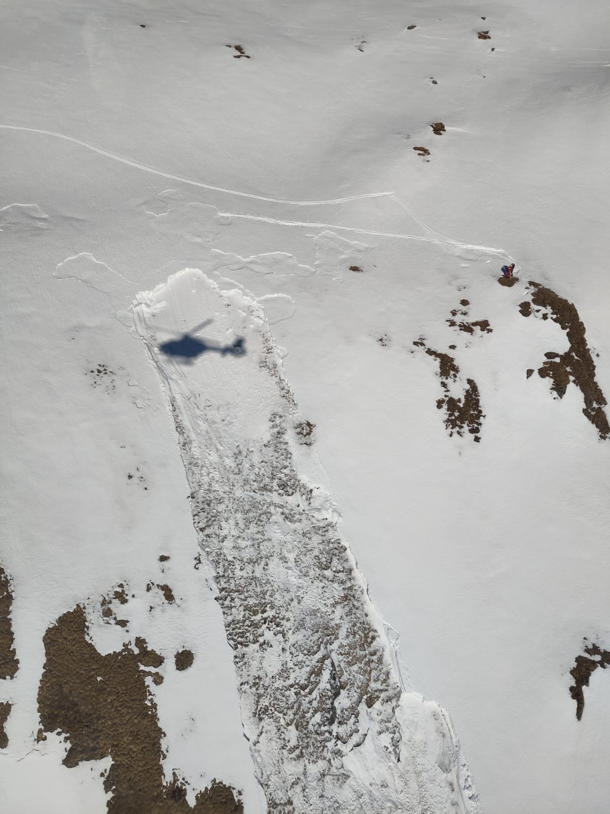
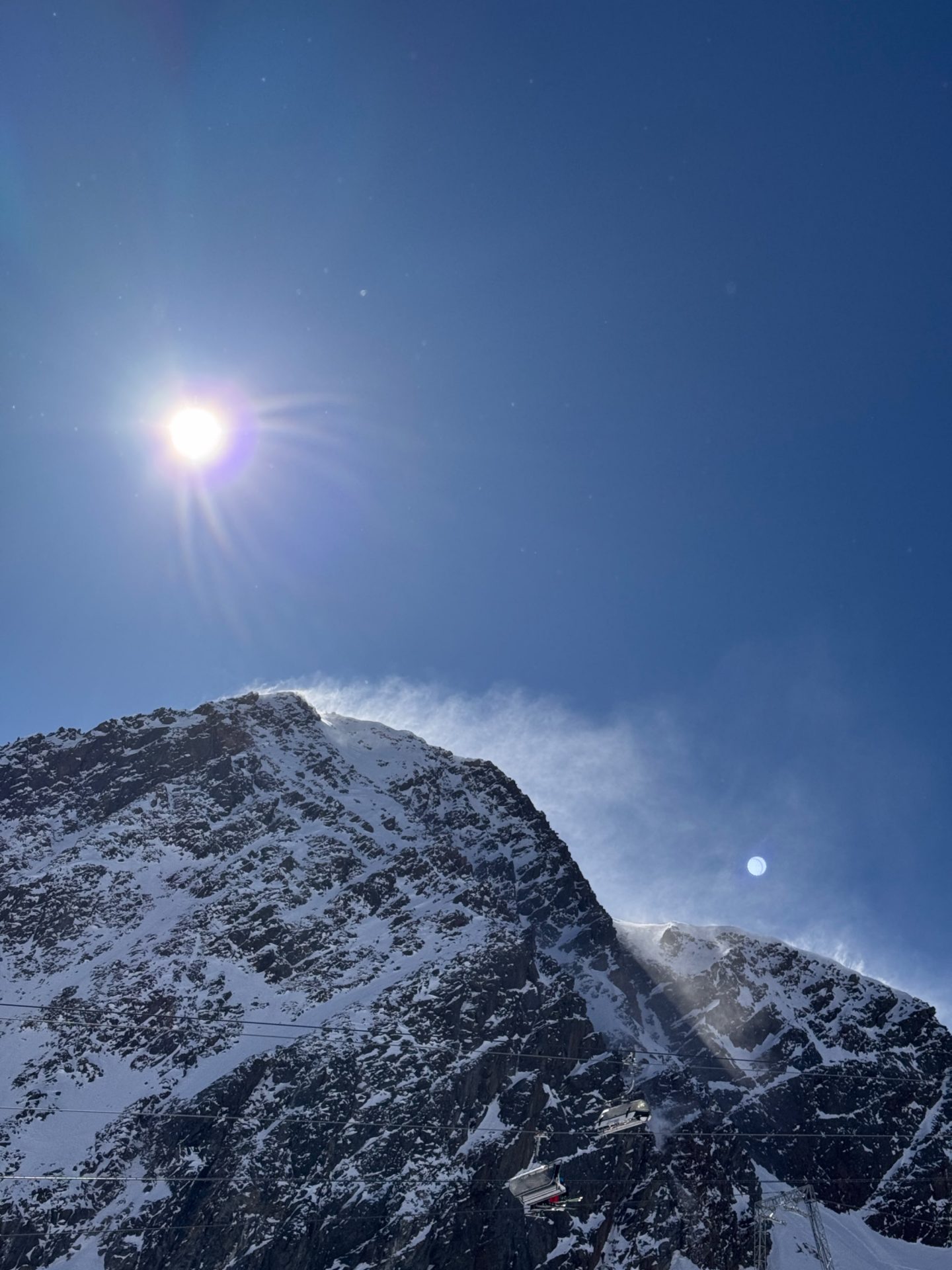
Last week avalanche dangers began to increase due to a thoroughly wet snowpack. A marked drop in temperatures and dry air masses led to a very favorable avalanche situation with low danger. Now the overall weather front is changing again: it’s getting warmer and successively wetter. Wet-snow problems are again coming to the forefront.

Review of last week

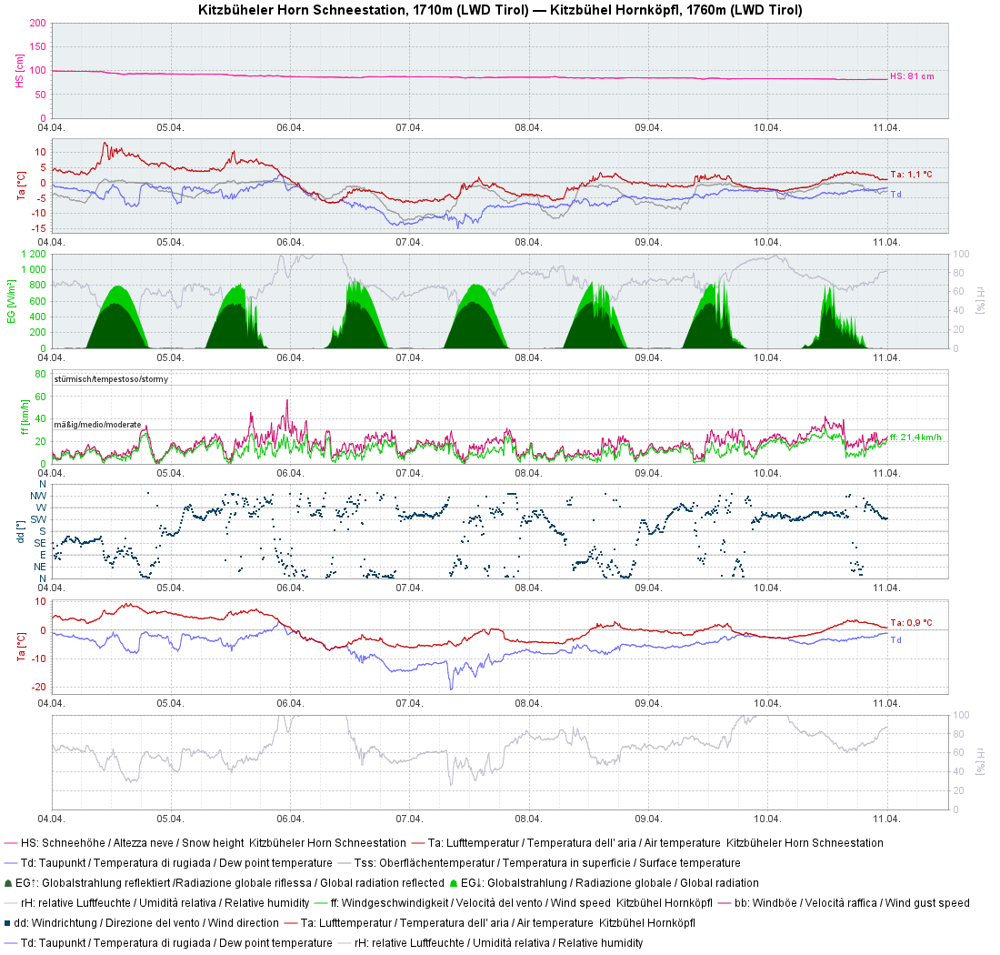
Let’s have a look at one of our numerous weather station graphs, the one from Kitzbüheler Horn:

To start with, very warm and intense solar radiation, a snowpack that was thoroughly wet. Temperatures dropped markedly starting on Sunday, 06.04.2025, followed by a gradual rise in temperature and moderate wind impact.
Spontaner Lawinenabgang in den Sellrainer Bergen (© Raymond Roks, 05.04.2025)
Naturally triggering avalanche as result of thoroughly wet snowpack, Sellrain (© Raymond Roks, 05.04.2025)
Spontane Lockerschneelawine am Geigenkamm (© Ernst Kuen, 05.04.2025)
Naturally triggering loose-snow avalanche on Geigenkamm (© Ernst Kuen, 05.04.2025)

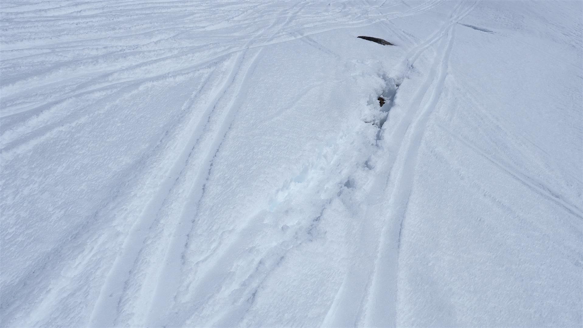
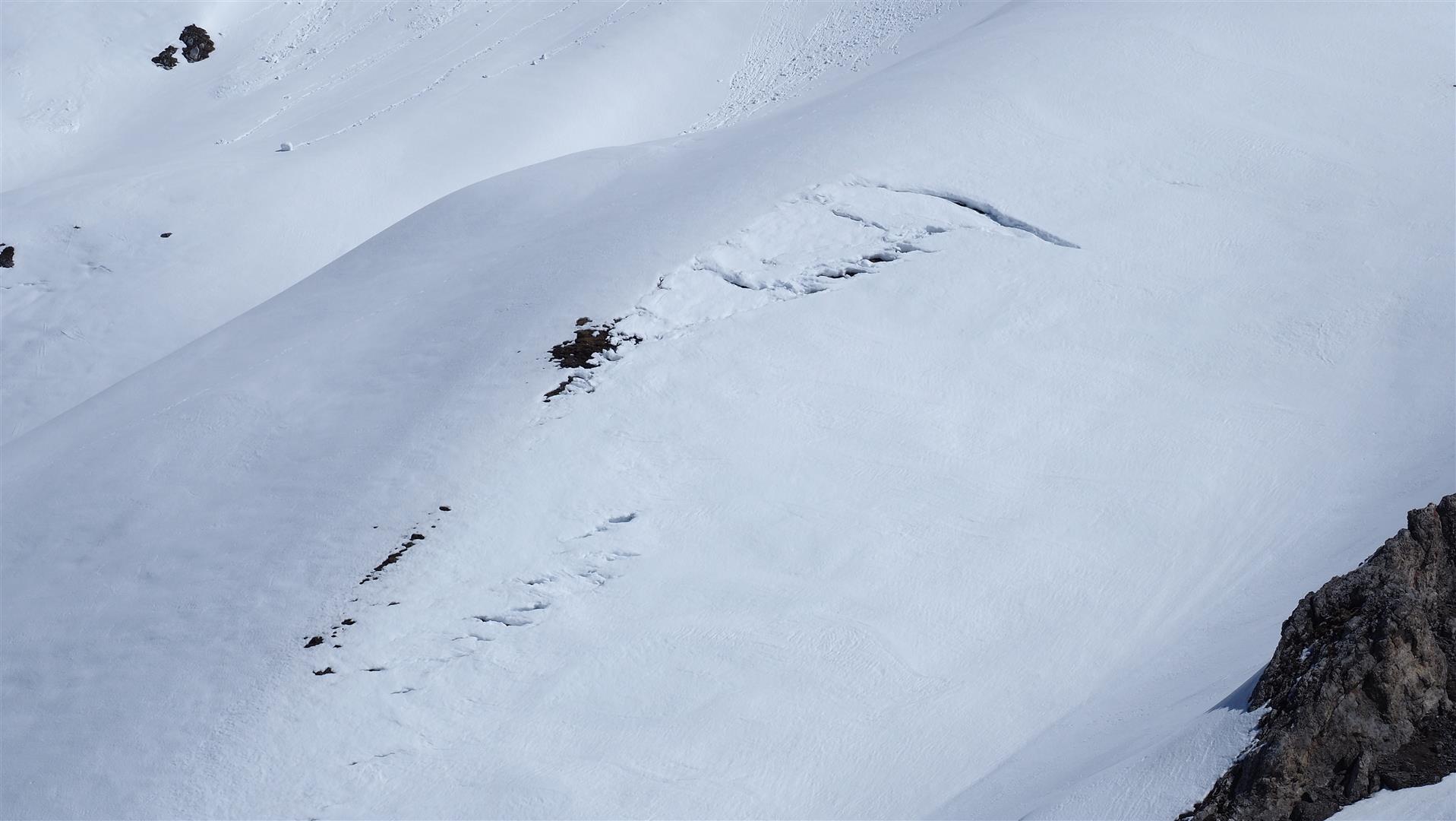
On Sunday, 06.04, we were confronted with an interesting phenomenon for a short time: the melt-freeze crust that had formed at night was capable of bearing loads yet was triggered as a slab by winter sports enthusiasts in a narrow altitude band on sunny slopes. The culprit: the loose old snowpack surface which had just become thoroughly wet was the weak layer.

Fernausgelöste Schneebrettlawine ohne Folgen unterhalb der Hohen Mut, Gurgler Gruppe, Süd, 2500m (© Alpinpolizei, 06.04.2025)
Remotely triggered slab avalanche without consequences below Hoher Mut, Gurgler massif, south, 2500m (© Alpinpolizei, 06.04.2025)

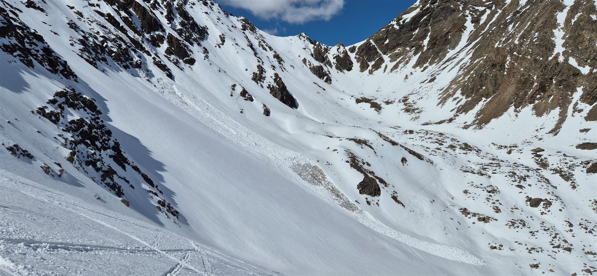
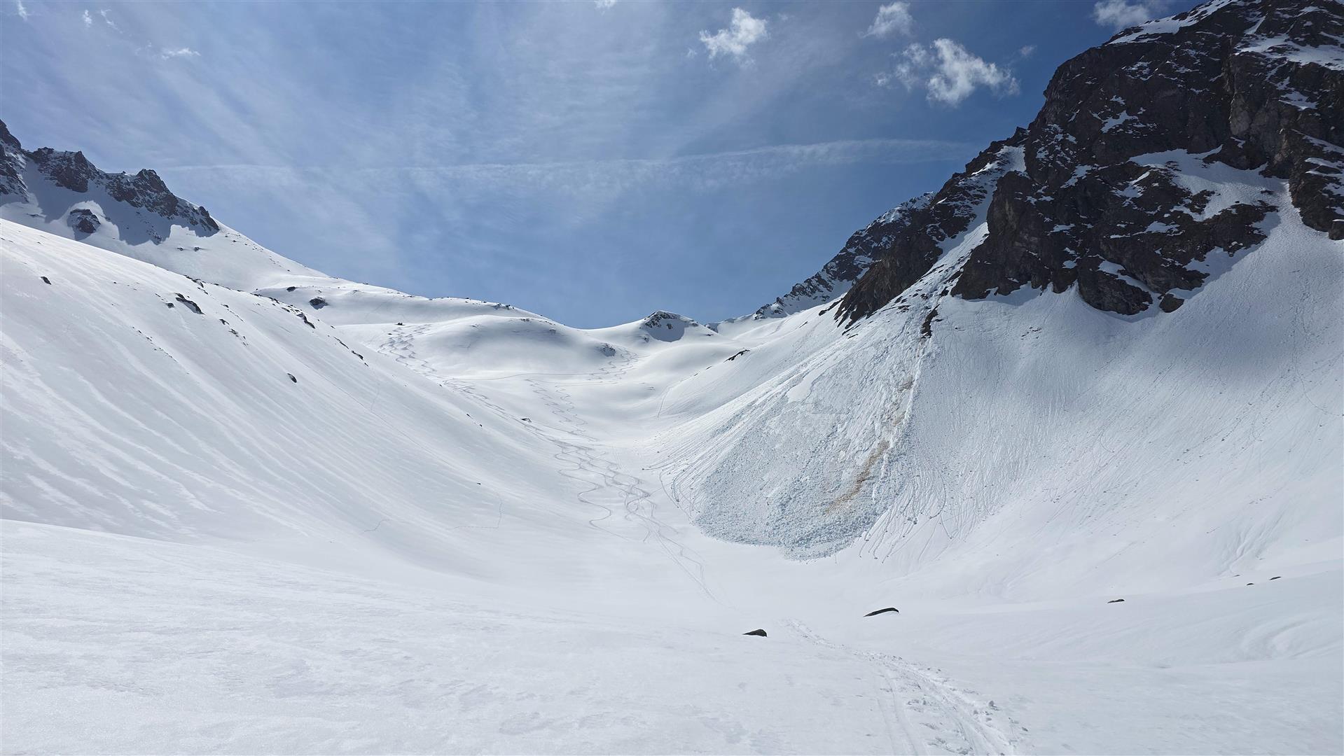
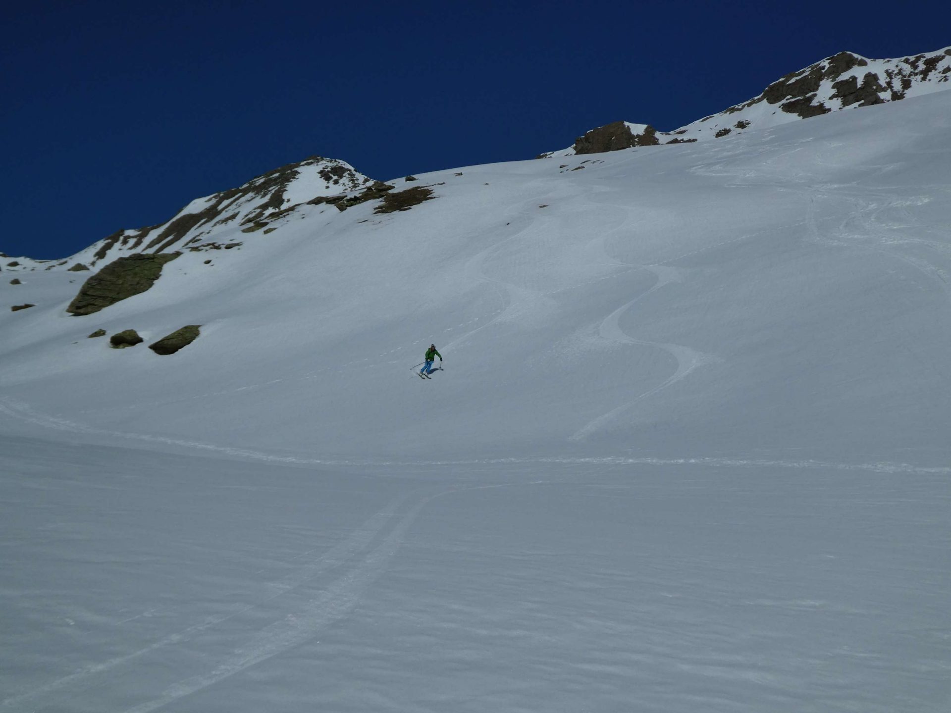
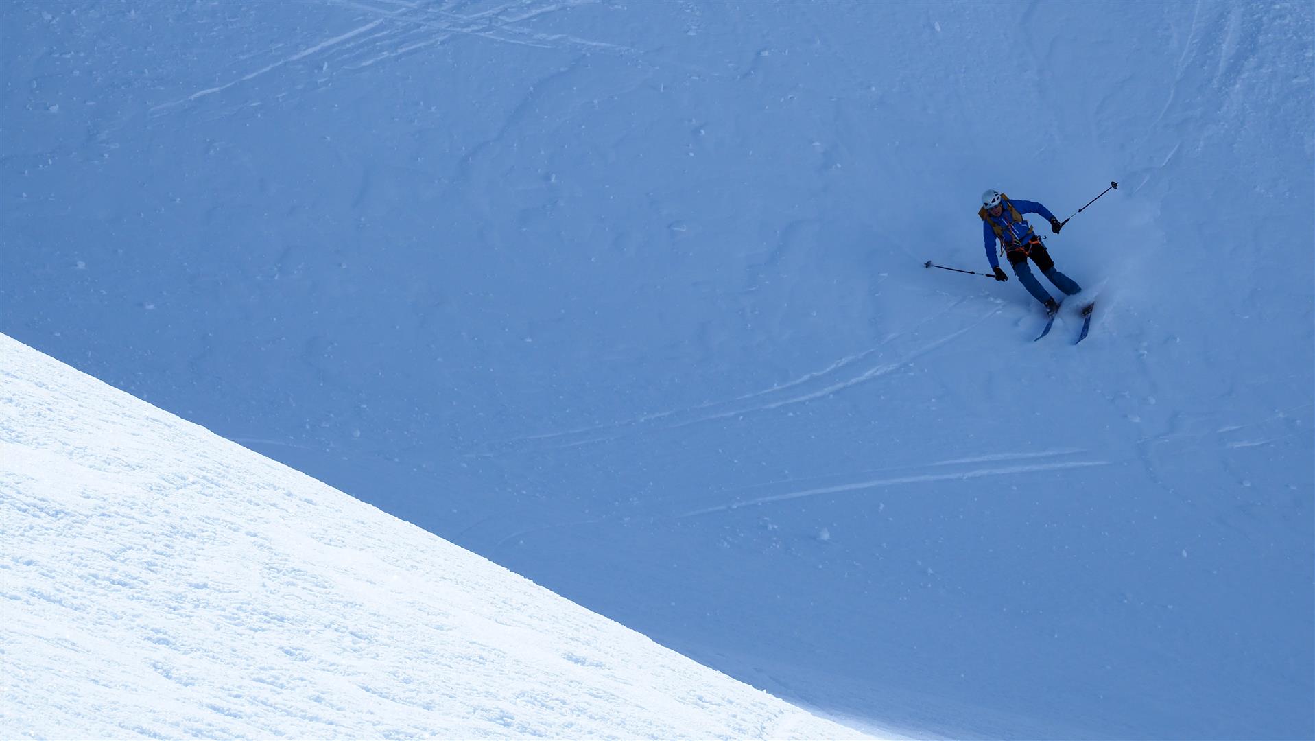
Over the next few days an increasingly thick melt-freeze crust formed on sunny slopes. The snowpack was stable far and wide. Avalanche danger was low. Snow quality varied, as is typical of this juncture of the season, from good powder, top quality firn to breakable crusts.

Gute Firnverhältnisse in den Sellrainer Bergen (© Barbara Fink, 06.04.2025)
Good firn snow in the Sellrain mountains (© Barbara Fink, 06.04.2025)
Mitunter auf engem Raum rasch wechselnde Schneequlität. Zentrale Stubaier Alpen (© LWD Tirol, 10.04.2025)
Highly diverse snow quality, even over small areas. Central Stubai Alps (© LWD Tirol, 10.04.2025)
Typisch für das Frühjahr - ein Firnspiegel. Dieser entsteht immer durch die Kombination aus oberflächiger, strahlungs- und temperaturbedingter Anfeuchtung der Schneedecke und dem abkühlenden Effekt des Windes. Granatspitzgruppe (© Peter Fuetsch, 06.04.2025)
Typical of spring: a firn-snow mirror. This forms when the combination of surface moisture due to higher temperatures and solar radiation combines with the cooling effects of wind. Granatspitz massif (© Peter Fuetsch, 06.04.2025)
Starker Wind aus dem Nordsektor verfrachtete v.a. hochalpin etwas Schnee. Frische Triebschneeansammlungen waren - wenn überhaupt - nur kurzfristig störanfällig. Zentrale Stubaier Alpen (© Günter Chwojan, 06.04.2025)
Strong-velocity winds transported snow from north-facing slopes, esp. in high-alpine zones. Freshly generated snowdrift accumulations were prone to triggering only for a short time, if at all. Central Stubai Alps (© Günter Chwojan, 06.04.2025)
Die Gleitschneeaktivität nahm während der Woche stetig ab. Arlberg (© LWD Tirol, 06.04.2025)
Gliding snow activity diminished steadily during the week. Arlberg (© LWD Tirol, 06.04.2025)
Sehr bezeichnend für diesen Winter: Allgemein wenig Schnee, sonnseitig häufig sogar aper. Zentrale Stubaier Alpen (©LWD Tirol, 10.04.2025)
Highly indicative of the current winter: little snow in general, sunny slopes often bare. Central Stubai Alps (©LWD Tirol, 10.04.2025)
Trotz des schneearmen Winters sollte man die durch Wechtenbrüche mögliche Gefährdung nicht außer Acht lassen. Außerfern (© Stefan Zangerl, 04.04.2025)
Despite the lack of snow, the danger of cornices breaking still needs ample attentiveness. Ausserfern (© Stefan Zangerl, 04.04.2025)

A glance inside the snowpack:

Ein für Schattenseiten typisches Profil. Die Anfang April noch aktiven Schwachschichten (Graupel vom 29.03. und kantige Kristalle, die sich bis zum 10.03. gebildet hatten) konnten an diesem Standort gar nicht mehr angesprochen werden. Schattseitig gibt es in der Höhe noch etwas Temperaturreserven.
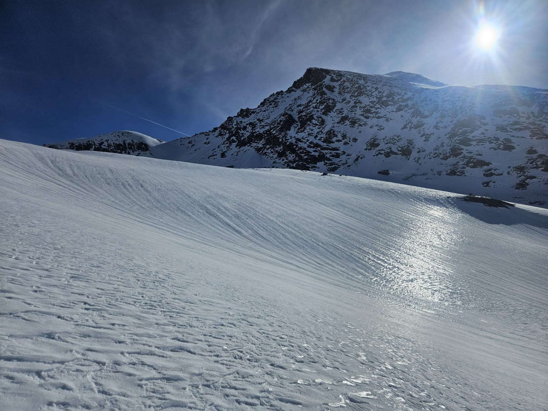
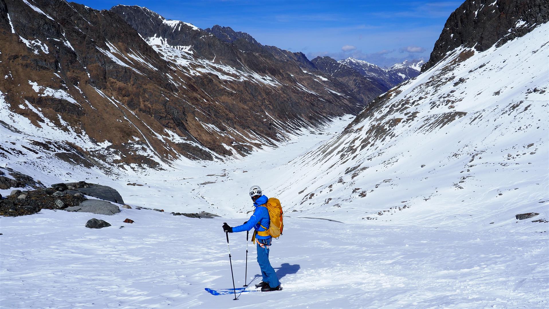
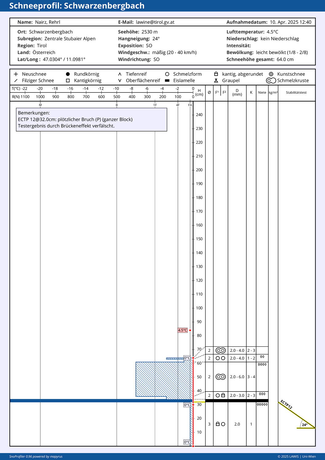
Typical profile for shady slopes. Active weak layers from early April (graupel on 29.03 and faceted crystals that formed on 10.03) could no longer be disturbed at this location. On shady high-altitude slopes, still temperature reserves inside the snow.
Der aktuell teilweise noch sehr dicke Harschdeckel auf einer lockeren, feuchten bis nassen Altschneedecke, wird nun wohl wieder dünner, die Schneedecke störanfälliger werden.
The currently still thick melt-freeze crust atop a loosely-packed, moist-to-wet old snowpack will now become steadily thinner, the snowpack will become more prone to triggering.

Brief outlook

The weather is about to change. The next few days will be measurably warmer, the air starting on Sunday at latest will become more moist. Thus, we can expect the wet-snow problems to increase day by day. Since in spring even little changes have big impact on snowpack stability, and thus, also on avalanche danger, we want to call your attention to the current Avalanche Bulletin which is published every day at 5:00 pm.