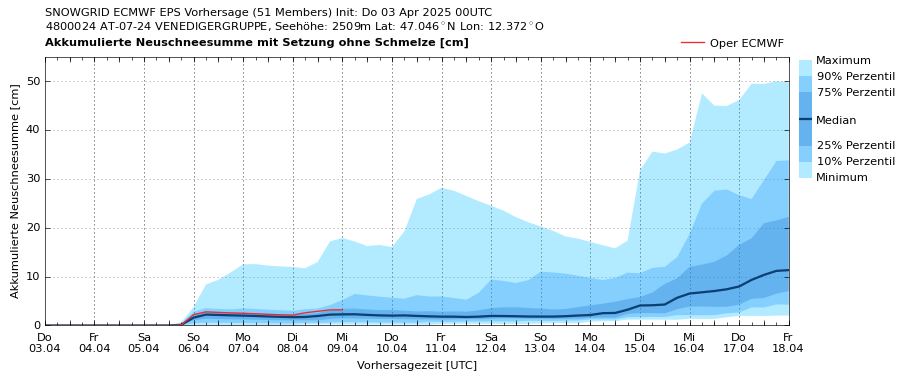
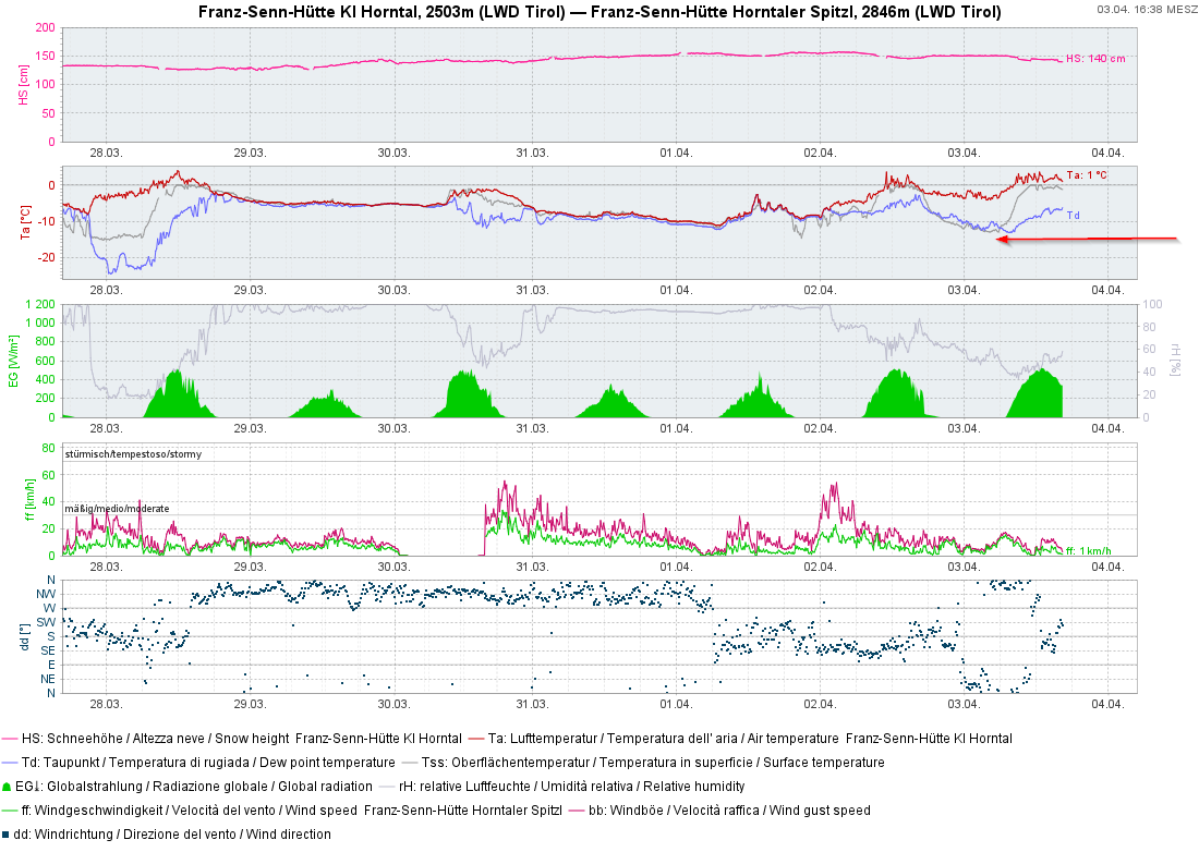
Due to mild temperatures the snowpack has settled and consolidated in the last few days. Danger zones for dry-snow slab avalanches now occur only in isolated places. Due to mild temperatures and solar radiation, danger of wet-snow avalanches fluctuates in a daytime cycle. The current high-pressure front is expected to last beyond the weekend.
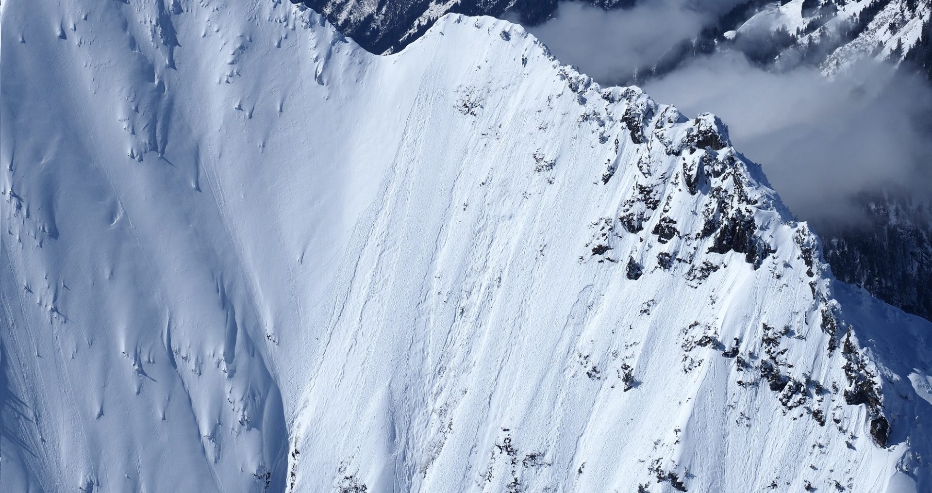
Isolated danger zones, esp. on very steep shady slopes
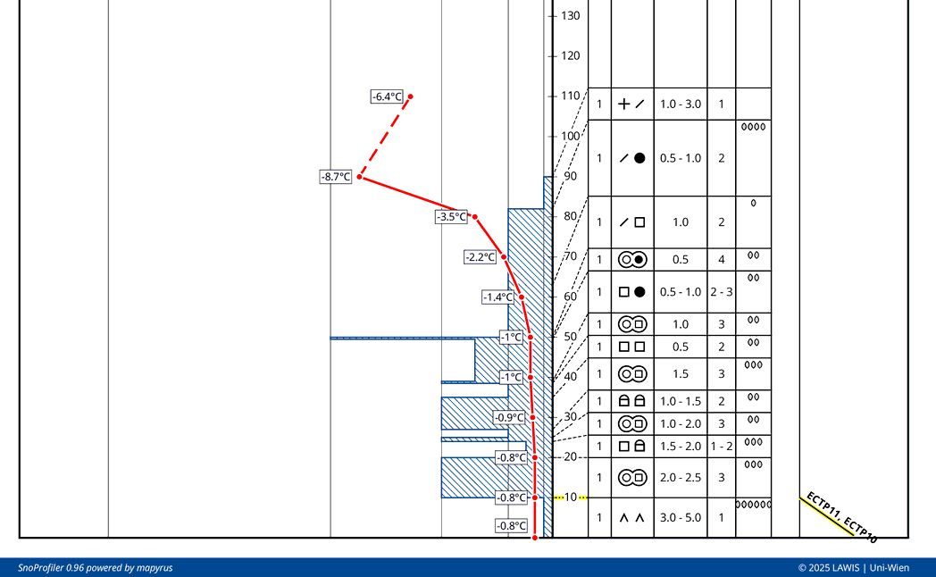
Beautiful weather, little wind and mild temperatures over the last few days have diminished avalanche danger rapidly. Weak layers inside the fresh snow and drifts in the form of decomposed snow or graupel have consolidated. They are no longer likely to trigger.
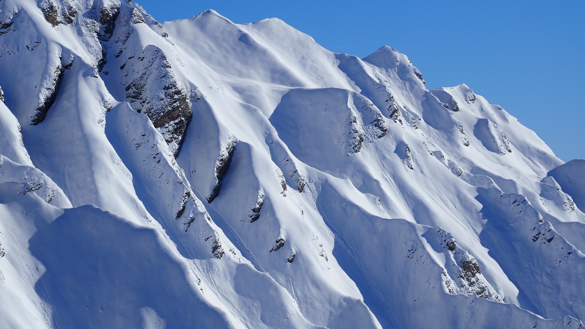
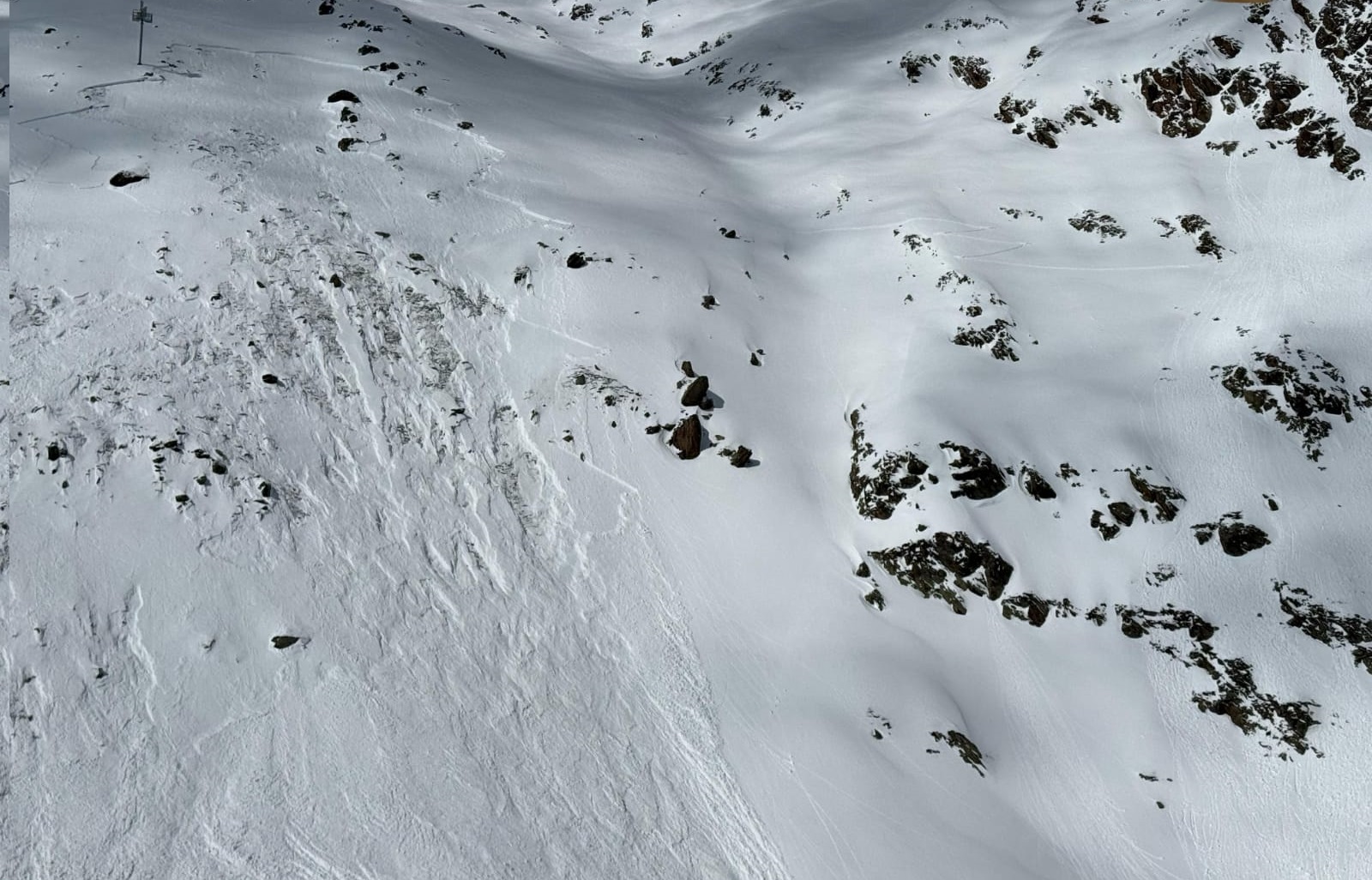
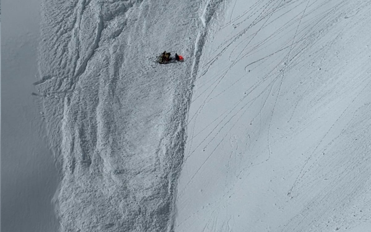
The main danger for dry-snow slab avalanches stems from weak layers of faceted crystals in the lower and middle parts of the old snowpack. These zones occur only in isolated cases on very steep (>35°) W/N/E-facing slopes above 2400m in the southeastern regions. Especially unfavorable are shady slopes which have been little-tracked through the winter. In such terrain, an additional safety reserve is necessary to plan, since if an avalanche triggers, it can reach medium size and thus, sweep persons along and buried them in snow masses completely.
Daytime danger cycle of wet-snow avalanches
During nights of clear skies, which are forecast at least until Saturday, 05.04, the snowpack surface freezes and is generally capable of bearing loads, esp. on sunny slopes. Sunny and mild weather (zero-degree level at 2800m) has the effect that the melt-freeze crust gradually softens during the morning hours. If your timing is good, high quality firn snow can be enjoyed.
As the effects of warmth increase during the course of the day, the melt-freeze crust softens completely and the snowpack becomes thoroughly wet. Thereby it forfeits its firmness and the likelihood of wet-snow avalanches triggering on very steep, esp. S/W-facing slopes, increases and danger rises. Thus, it pays to launch your backcountry tour early, in more ways than one.
A map of forecasts for cloud cover, in order to estimate how much nocturnal outgoing radiation will take place, can be found at: Website of GeoSphere Austria.
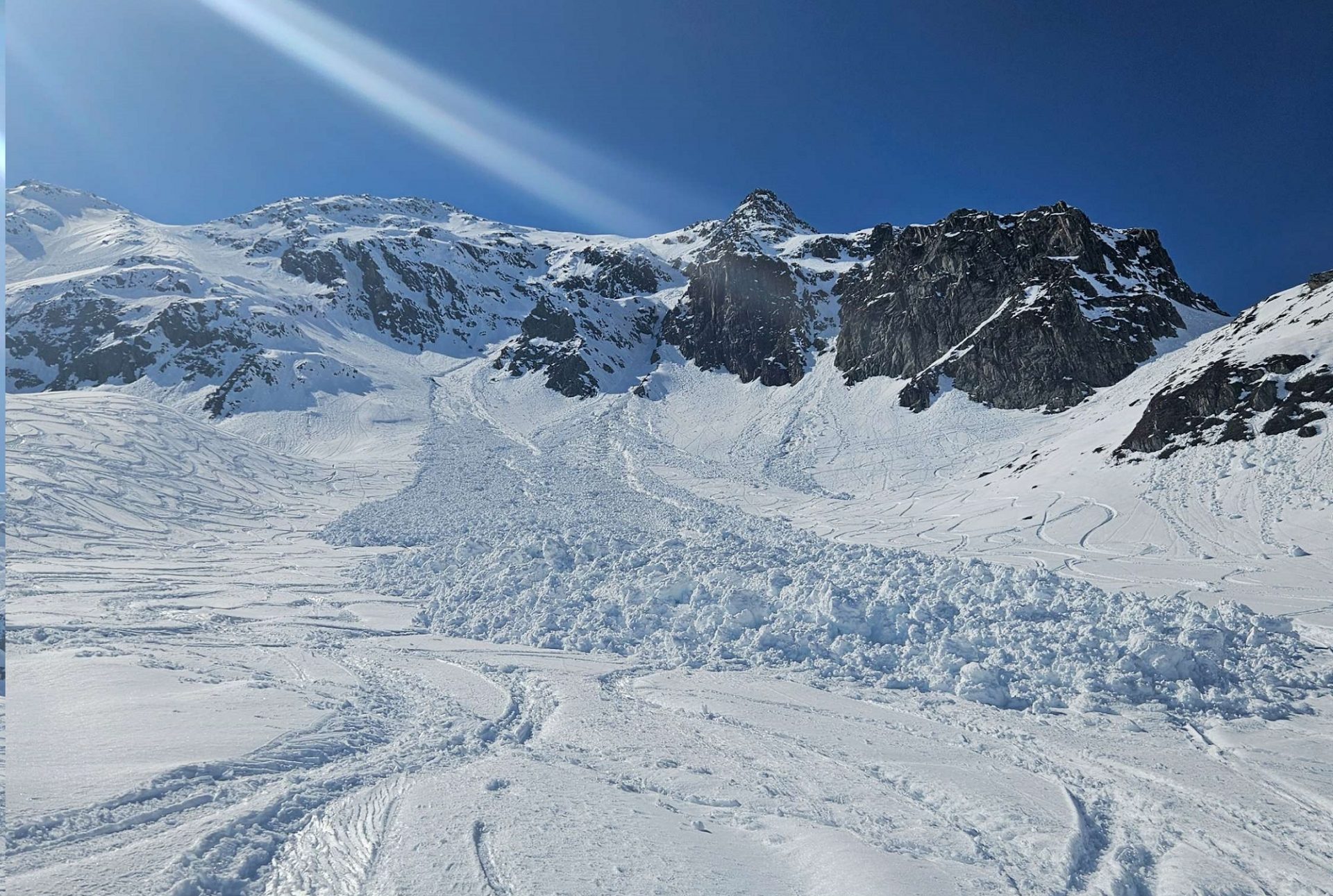
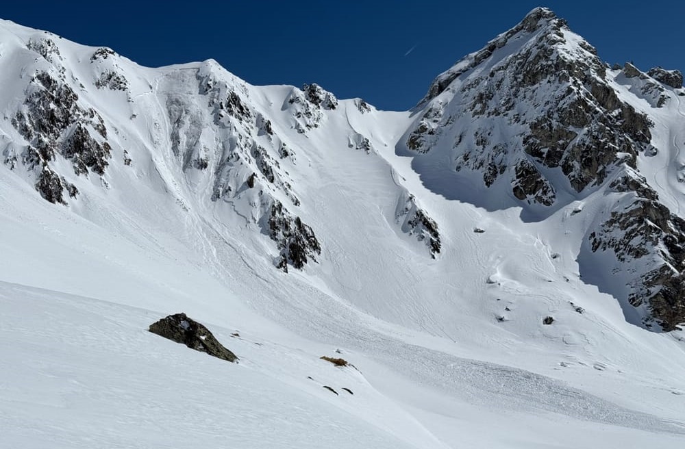
In addition, isolated glide-snow avalanches, small-to-medium sized releases, are also possible. These threaten particularly on very steep, esp. grass-covered slopes. Activity is currently receding, compared to recent days. Nonetheless, all zones below glide cracks should be avoided.
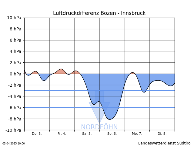
Slight weekend weather perturbance
Starting on Saturday, a northerly airstream will set in. This will cause the Tauern winds in East Tirol to intensify and bring more cloud cover into our atmosphere. By Sunday, temperatures will drop noticeably. However, the sunshine will remain. Regarding avalanche danger, not much change is anticipated. Winds will generate some fresh snowdrift accumulations at high altitudes in ridgeline and pass areas. As temperatures drop, the wet-snow problem will diminish somewhat.