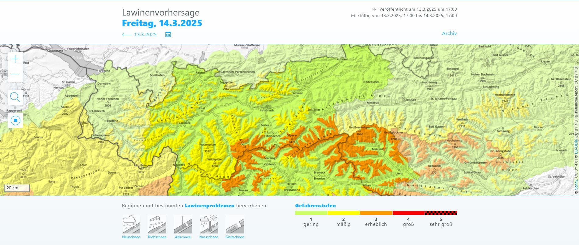
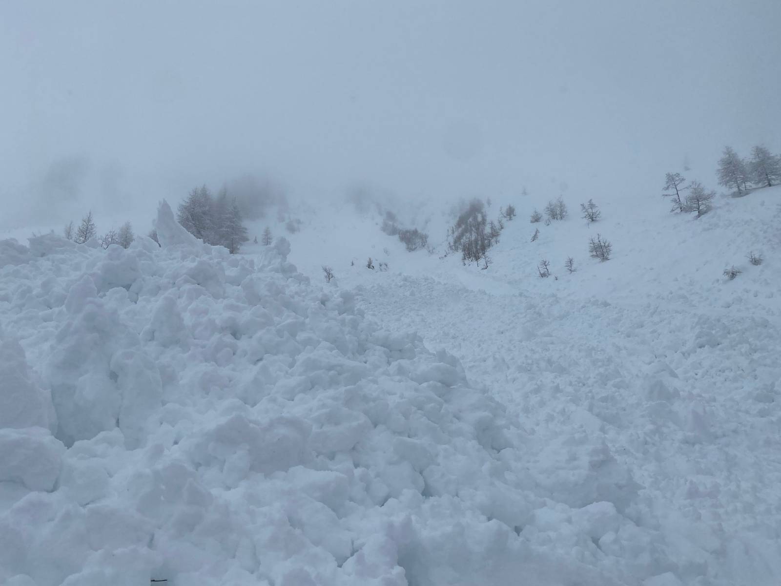
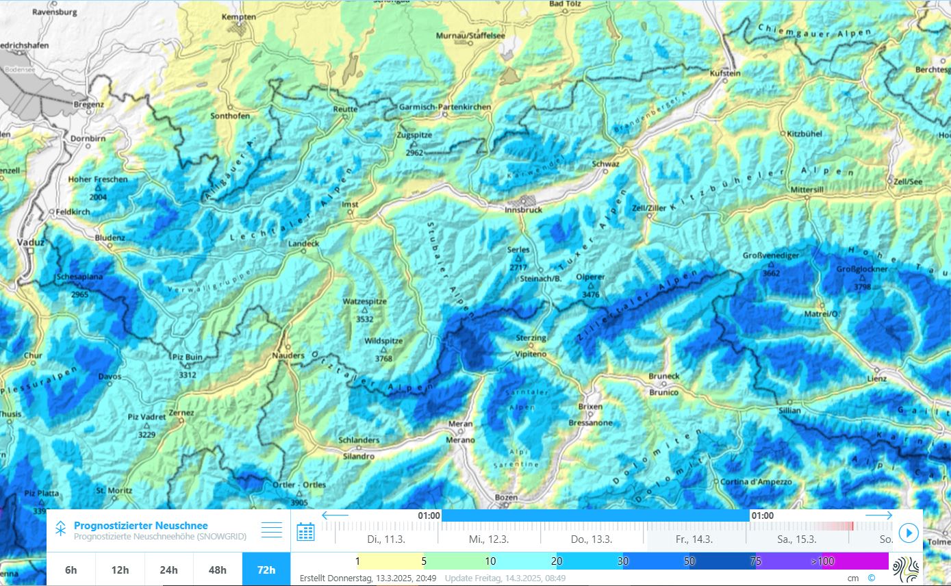
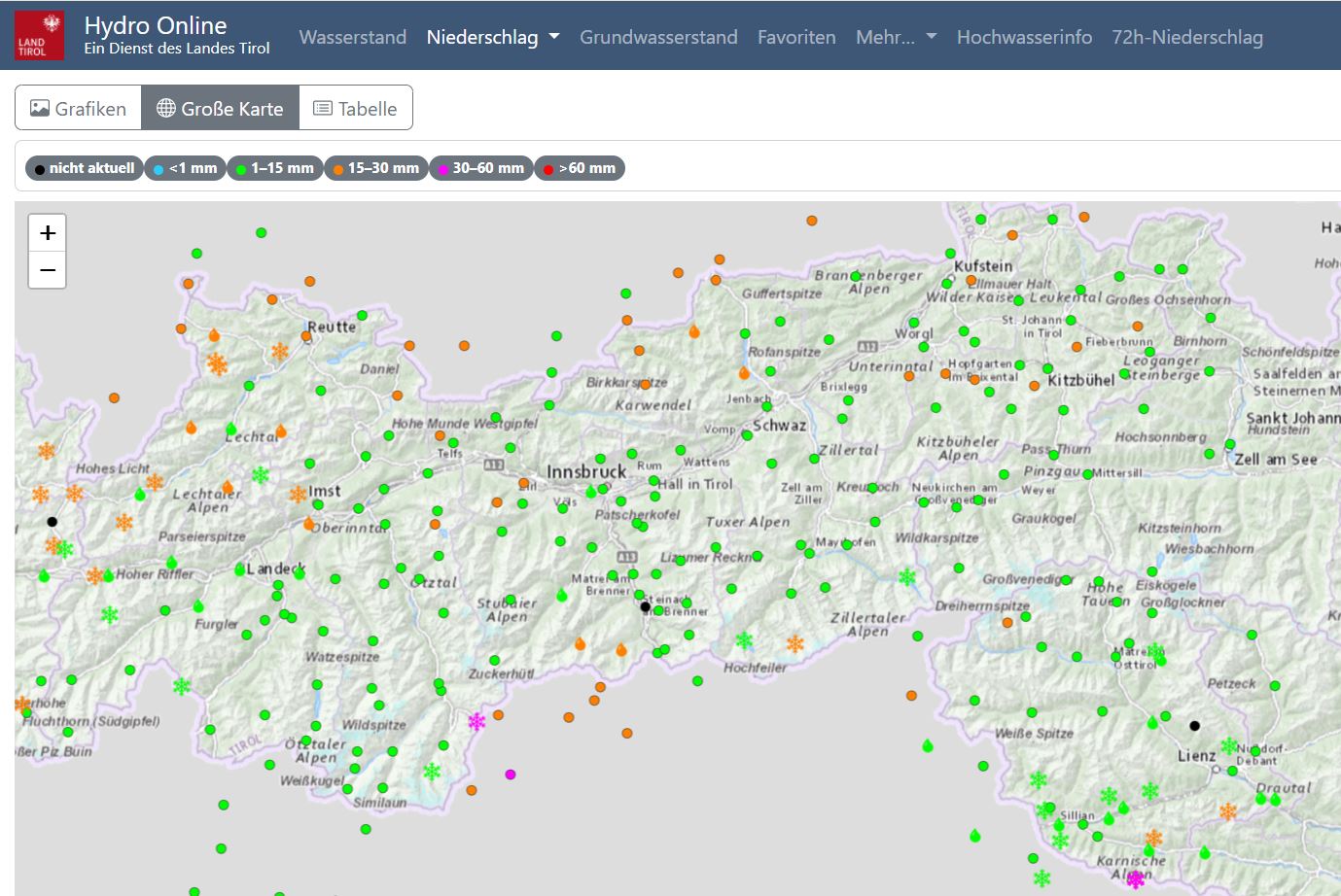
Following an unusually long, dry period, weather conditions changed on Sunday, 09.03. Since then, avalanche danger has increased step by step. In the interim, considerable avalanche danger prevails above 2000m in the central Stubai Alps, the northern Zillertal Alps and in East Tirol. Avalanches can be quite easily triggered by winter sports enthusiasts in the major areas of precipitation in particular. This is confirmed by recent avalanche releases which caused no harm. For that reason, we urge caution and restraint.
Persistent weak layer and snowdrift problem
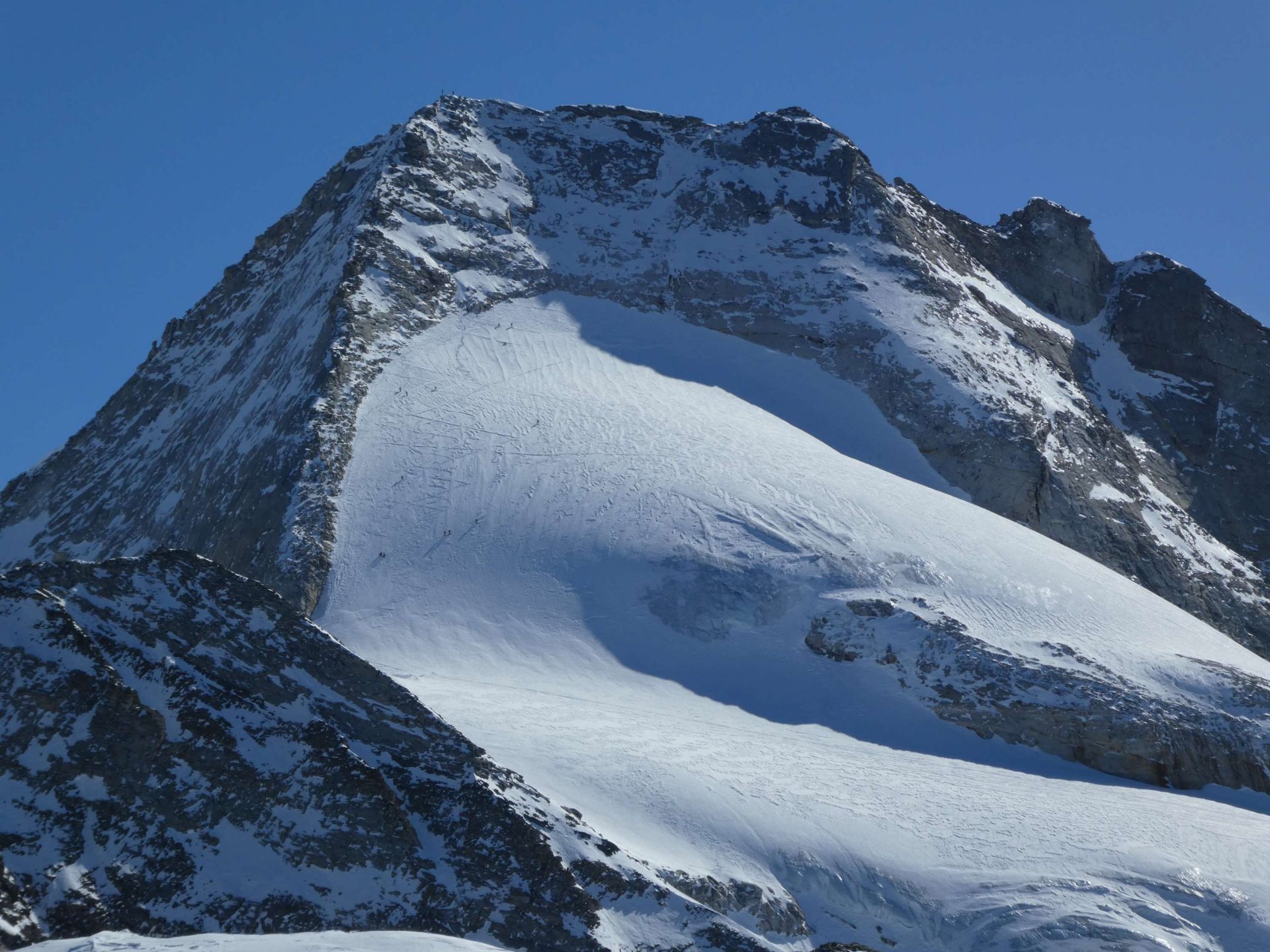
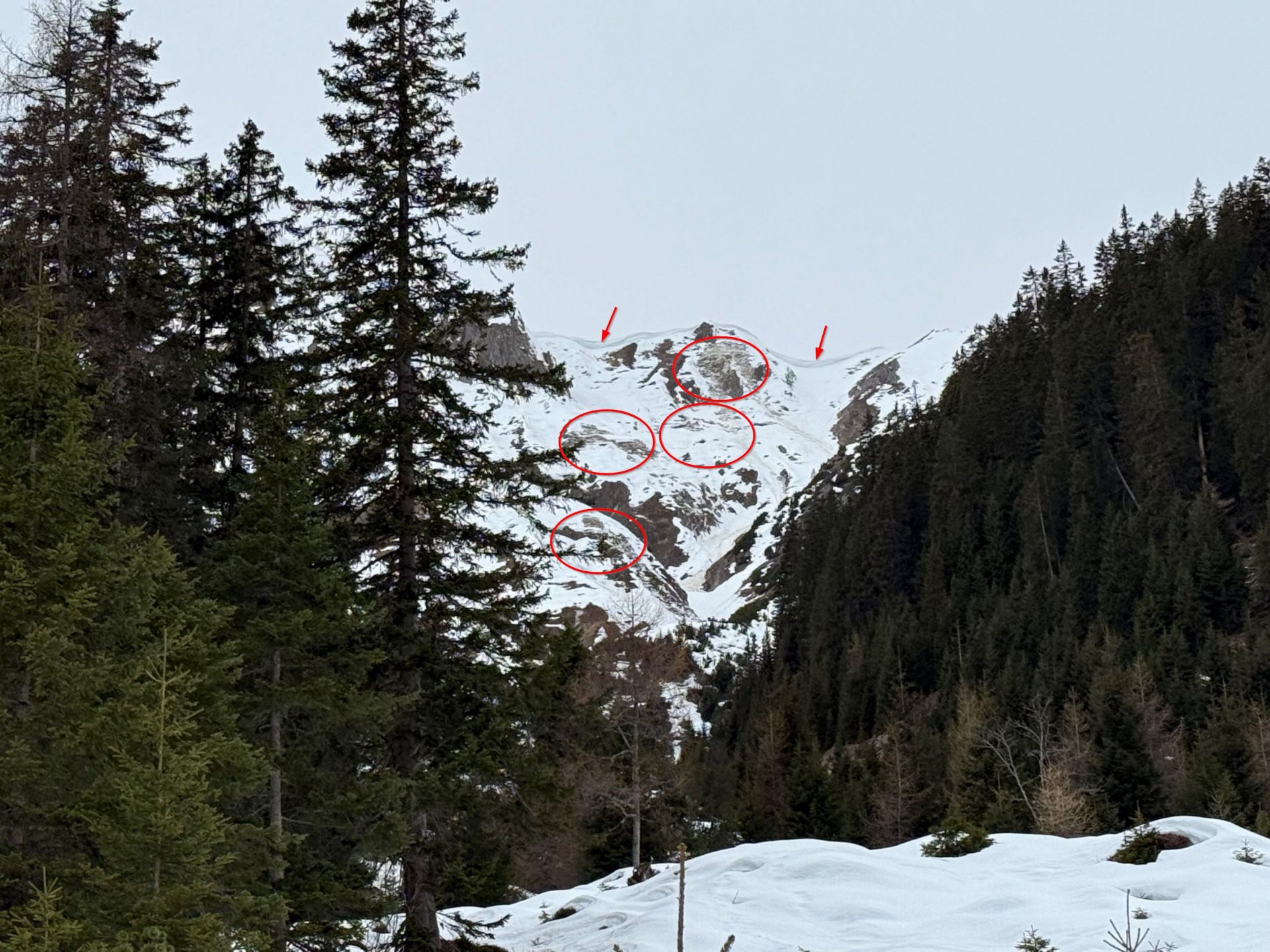
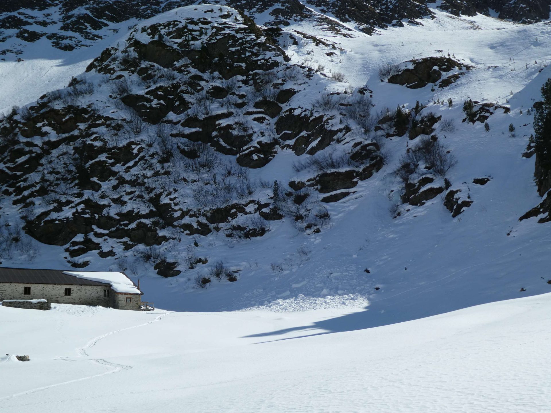
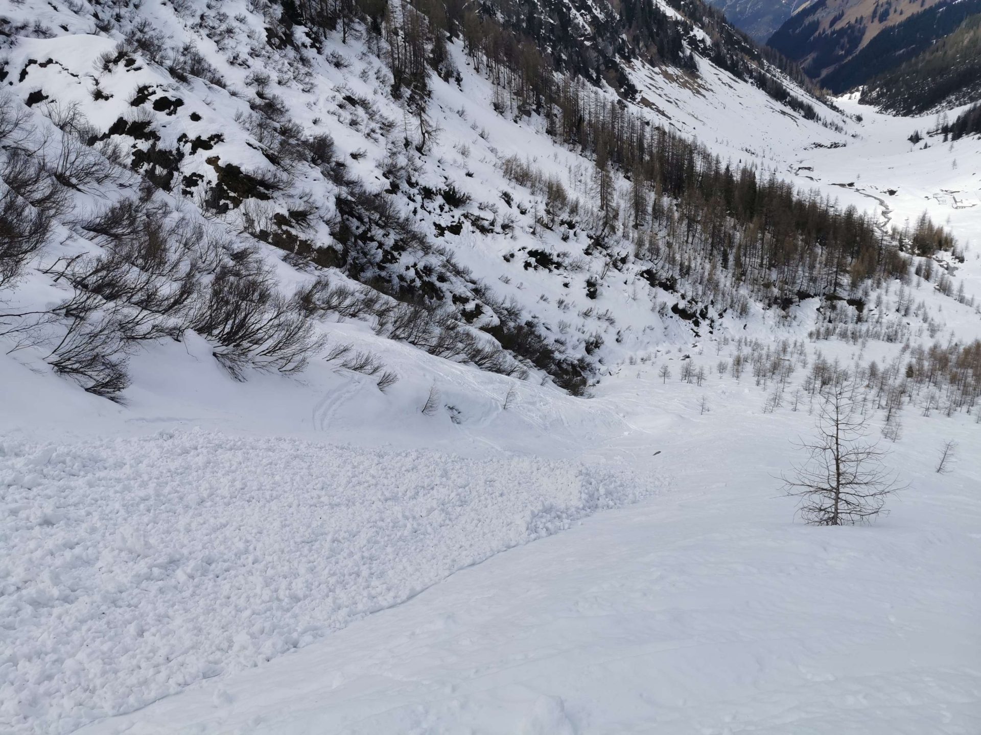
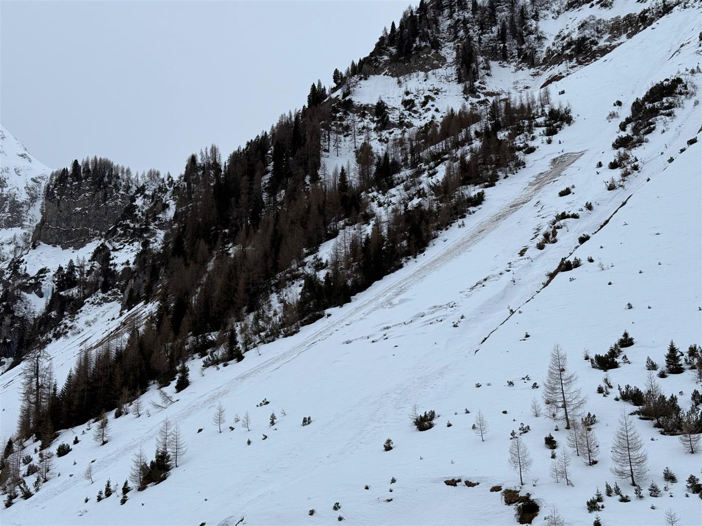
Currently we are faced with a persistent weak layer and a snowdrift problem in the major areas of precipitation. Avalanche prone locations for the persistent weak layer occur increasingly frequently on steep, little-tracked shady slopes above 2000m. There, a loose (expansively metamorphosed) surface slab is covered, initially as of 9 March by wind impact, then as of 10 March by snowfall, wind and radiation. Surface cracks and settling noises are indicators of the danger. At the same time, reports arrived today (13.03) of naturally triggered avalanches (mostly loose-snow, isolated slab avalanches). Furthermore, near ground level weak layers from early winter can once again be triggered, we currently assume more on west-facing slopes above 2300m.
The snowdrift problem, on the other hand, comes from freshly generated snowdrift masses which, as long as visibility is good, are easily recognized. Frequency, size and likelihood of such drifts triggering tend to increase with ascending altitude.
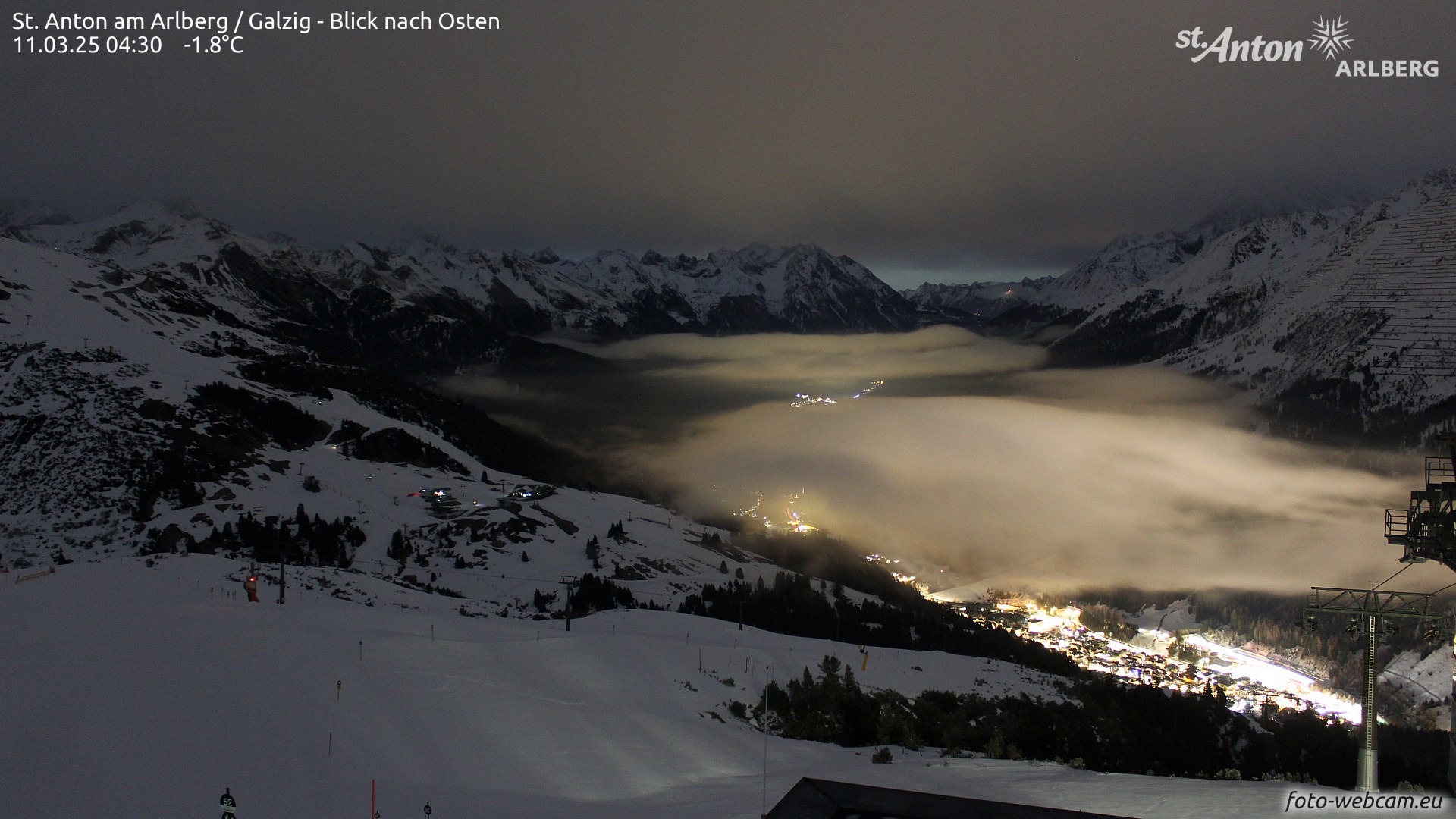
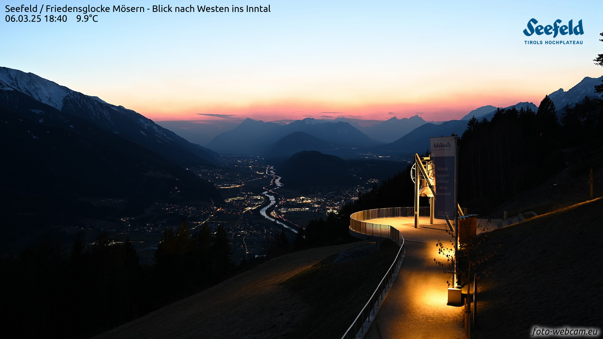
Weather change since Sunday evening, 09.03
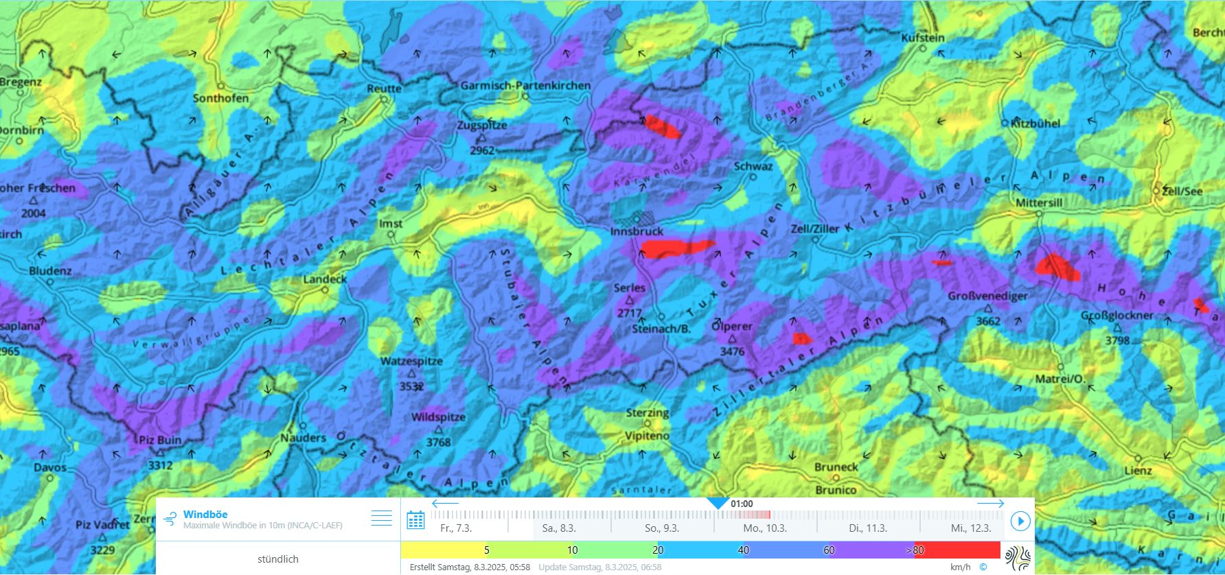
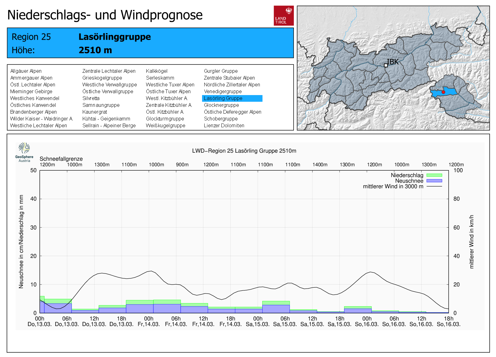
As mentioned, the weather has changed since 9 March. We are now in the grip of a moderately strong to strong SW air current. This began on Sunday, 09.03 when there was still sunshine and strong wind at high altitudes. In places, the loose snow on shady slopes was transported.
Effects on avalanche danger
As already referred to, avalanche danger has successively increased since the weather change.
On Sunday, 09.03, the loosely-packed old snow on high-altitude shady slopes was transported. Mostly small-sized snowdrift accumulations were generated which were relatively easy to trigger.
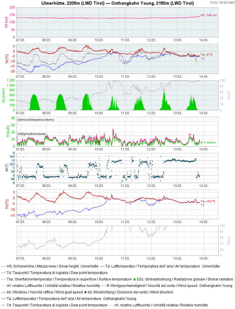
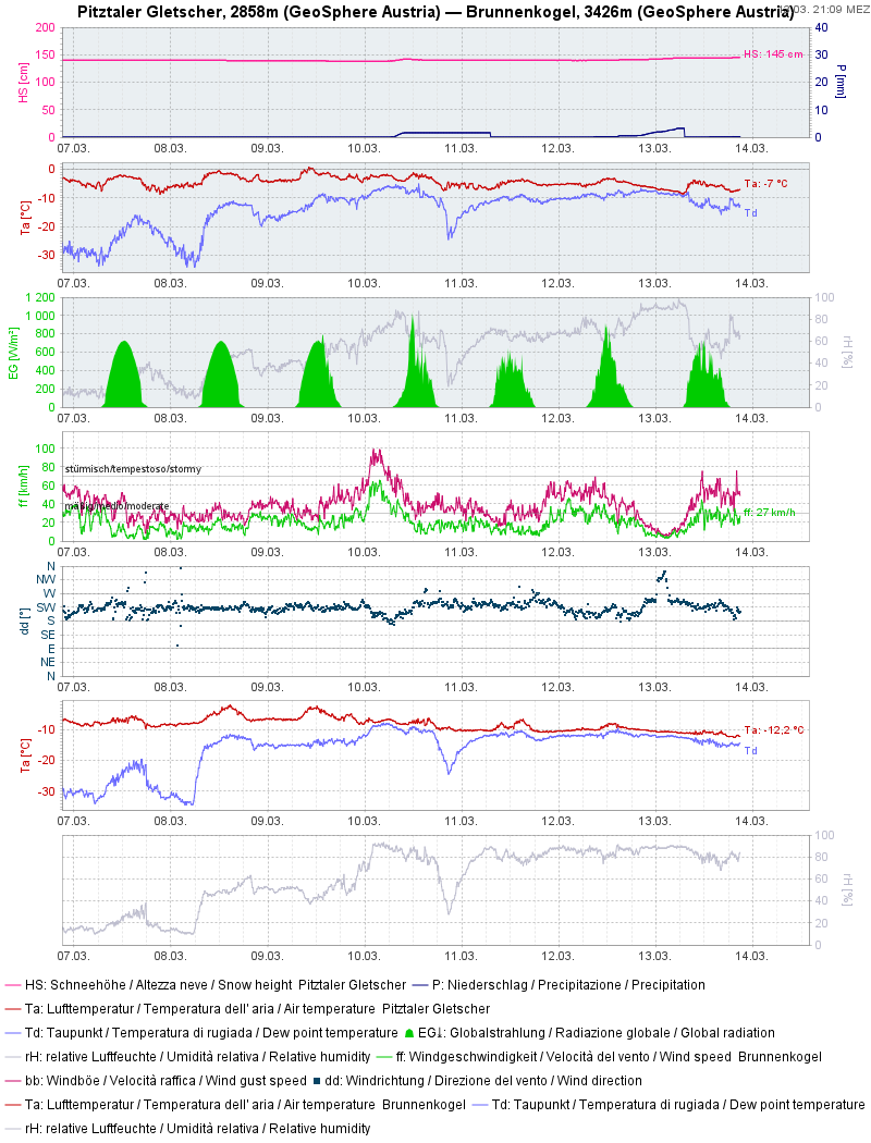
On Monday, 10.03, the rainfall up to nearly 2000m played a major role in loss of snowpack firmness after it became thoroughly wet. Wet loose-snow avalanches (mostly triggerable by winter sports enthusiasts in steep terrain) and increasingly frequent glide-snow avalanches were the problems.
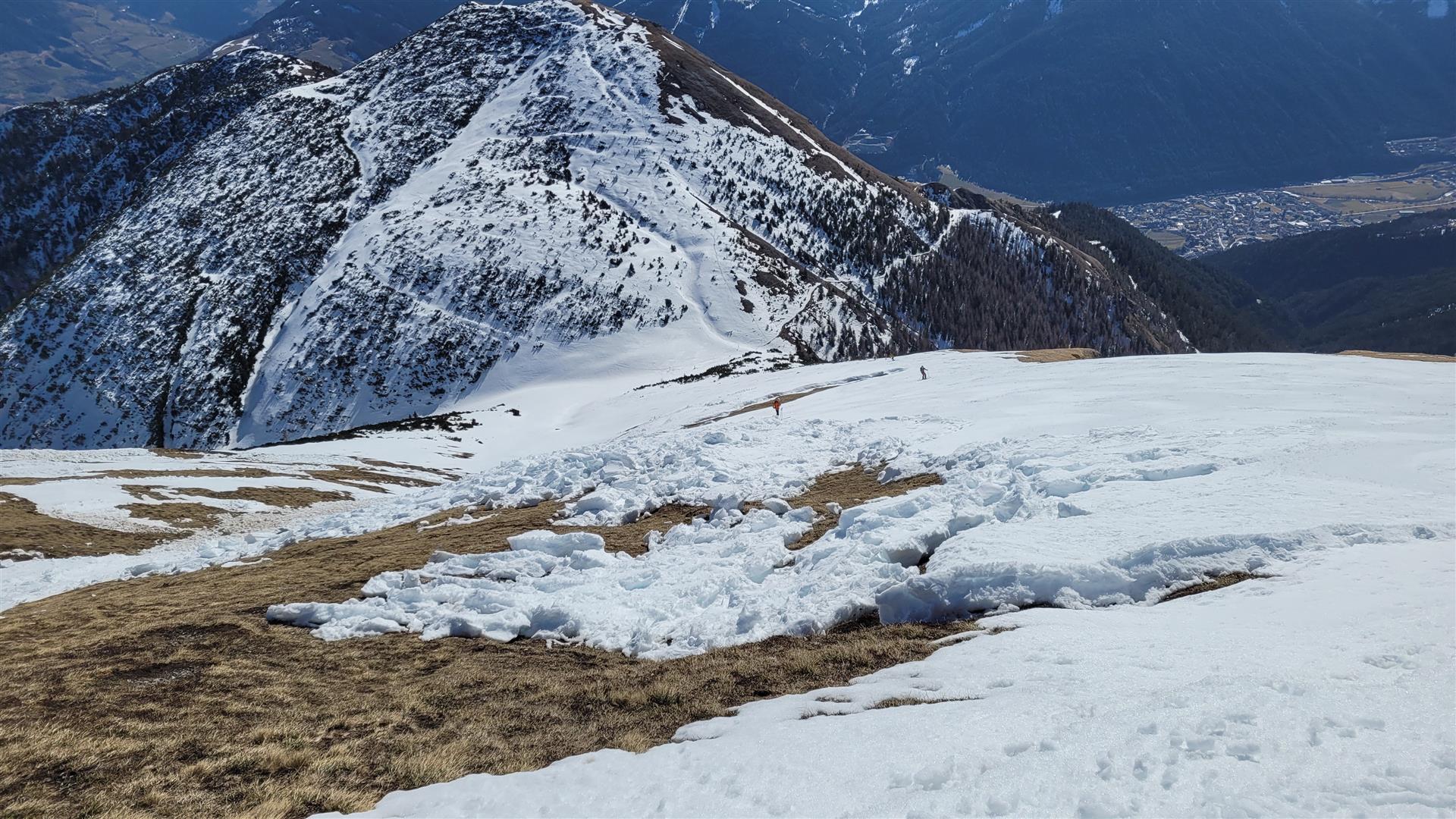
Starting on 11.03 extremely variable weather was the challenge. Convective precipitation led to raised precipitation intensity over small-areas for a brief spell. In the major areas of precipitation, slabs increased. The short period of fluctuating temperatures also played a part: despite dropping temperatures, there was still rainfall up to 2000m. Due to thunderstorm-like precipitation (including thunder and lightning) a layer of graupel several cm thick was deposited. This can serve as a weak layer for near-surface slab avalanches when the snow is sufficient.
Other points of interest
The winter was not rich in snowfall. This means that on glaciers the covering of crevices is often insufficient. On the Schlatenkees in the Venediger Massif, two people had to be rescued out of crevices last week. Both suffered only minor injuries.