A high-pressure front brought us fabulous wintery days last week through an inversion. Thus, it was colder in the valleys than in the mountains. Starting today, 02.01, weather conditions have changed. A cold front is bringing frequently strong winds, fresh snowdrift accumulations are now the major danger. They are easily triggered on steep shady slopes and should be circumvented over the next few days.
A cold front is bringing some snowfall/much wind to far-reaching parts of Tirol
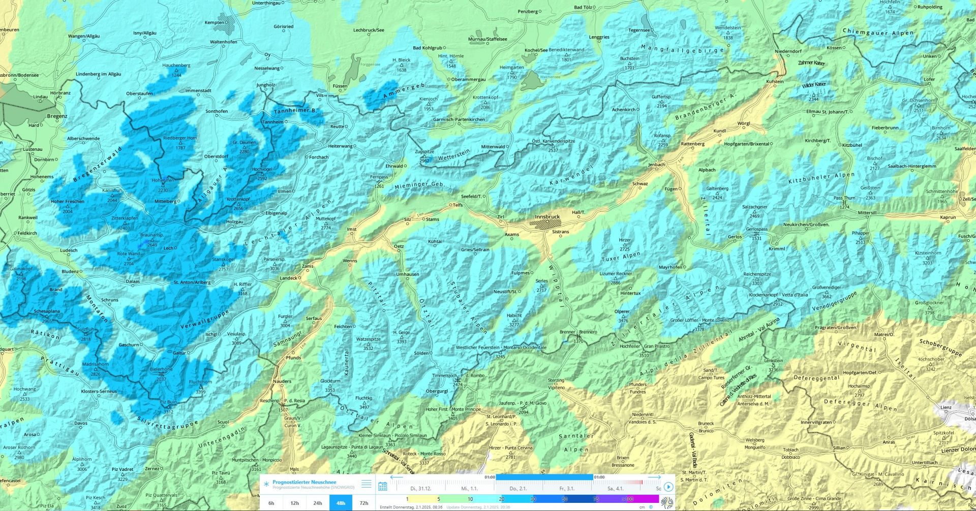
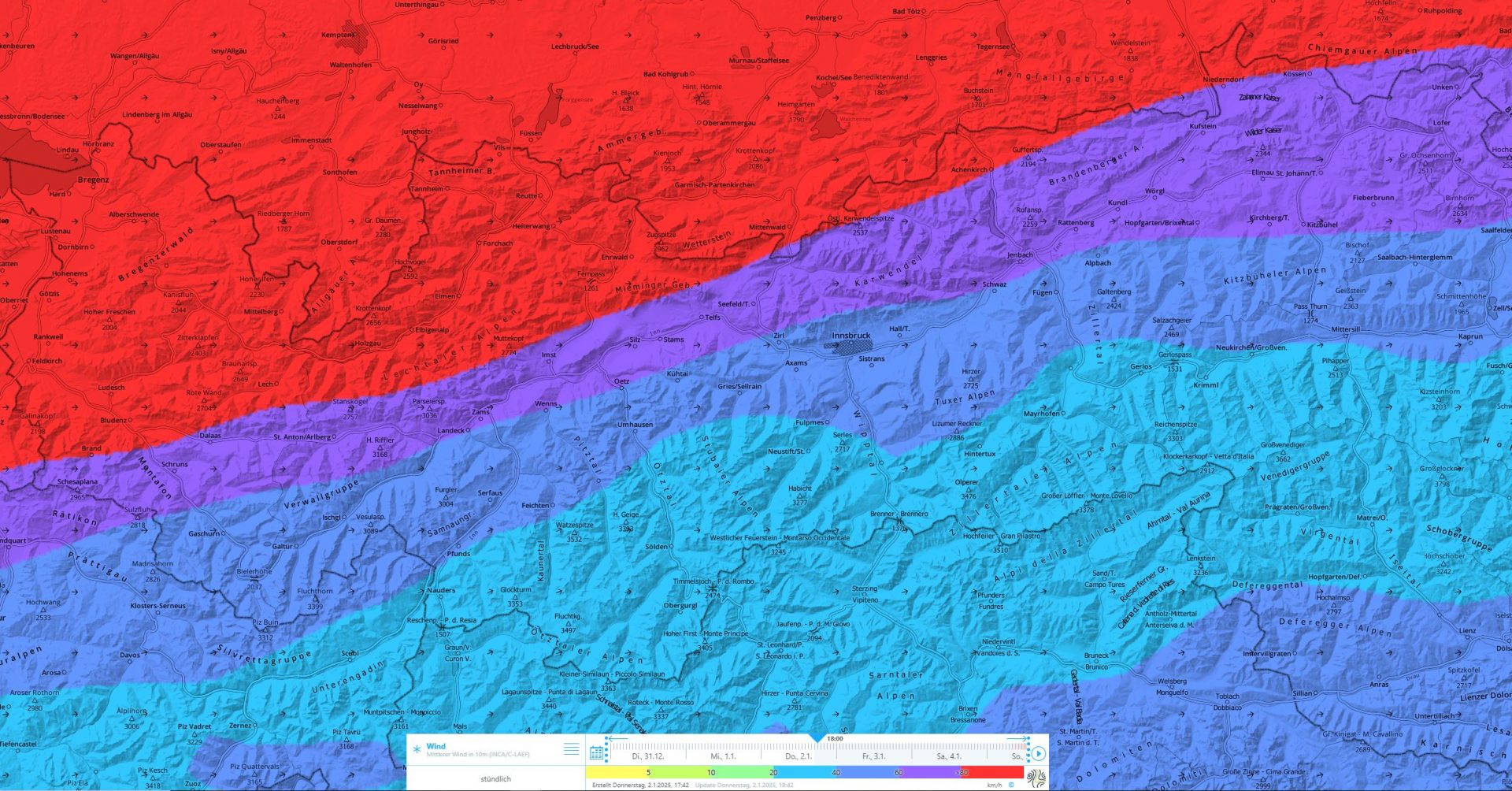
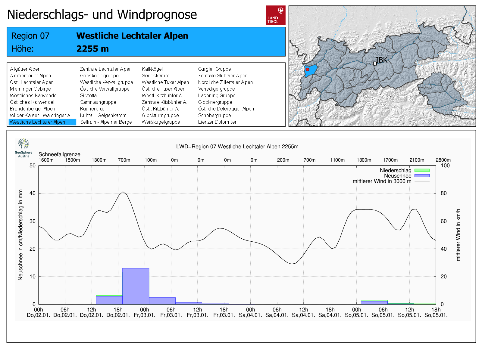
According to GeoSphere Austria, a cold front will move through Tirol rapidly between 2 and 3 January. In far western regions, 20-30 cm of fresh snow is forecast. Further eastwards and southwards, the amounts will decrease successively. In southern East Tirol, barely a trace is anticipated. This will be accompanied by often strong-velocity NW winds.
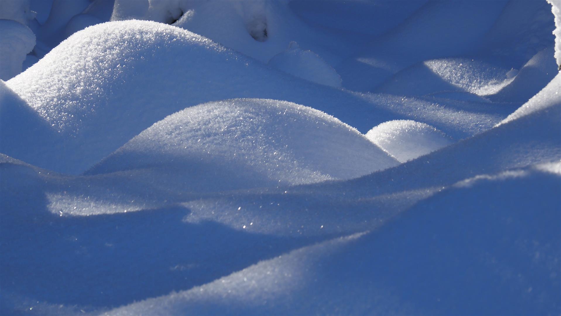
Fresh snowdrifts deposited mostly atop loosely-packed surface on shady slopes
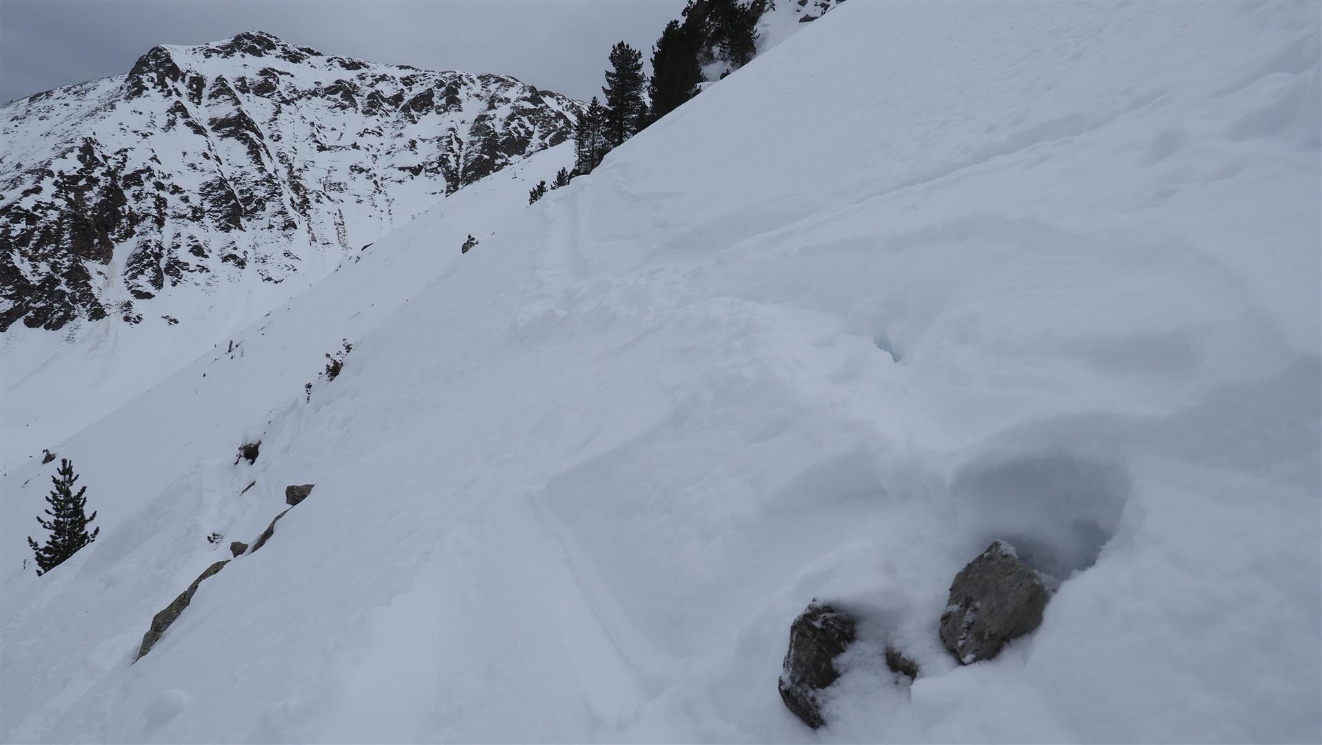
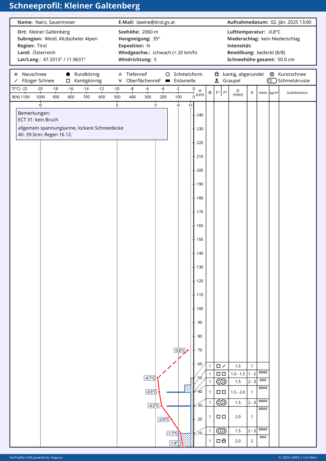
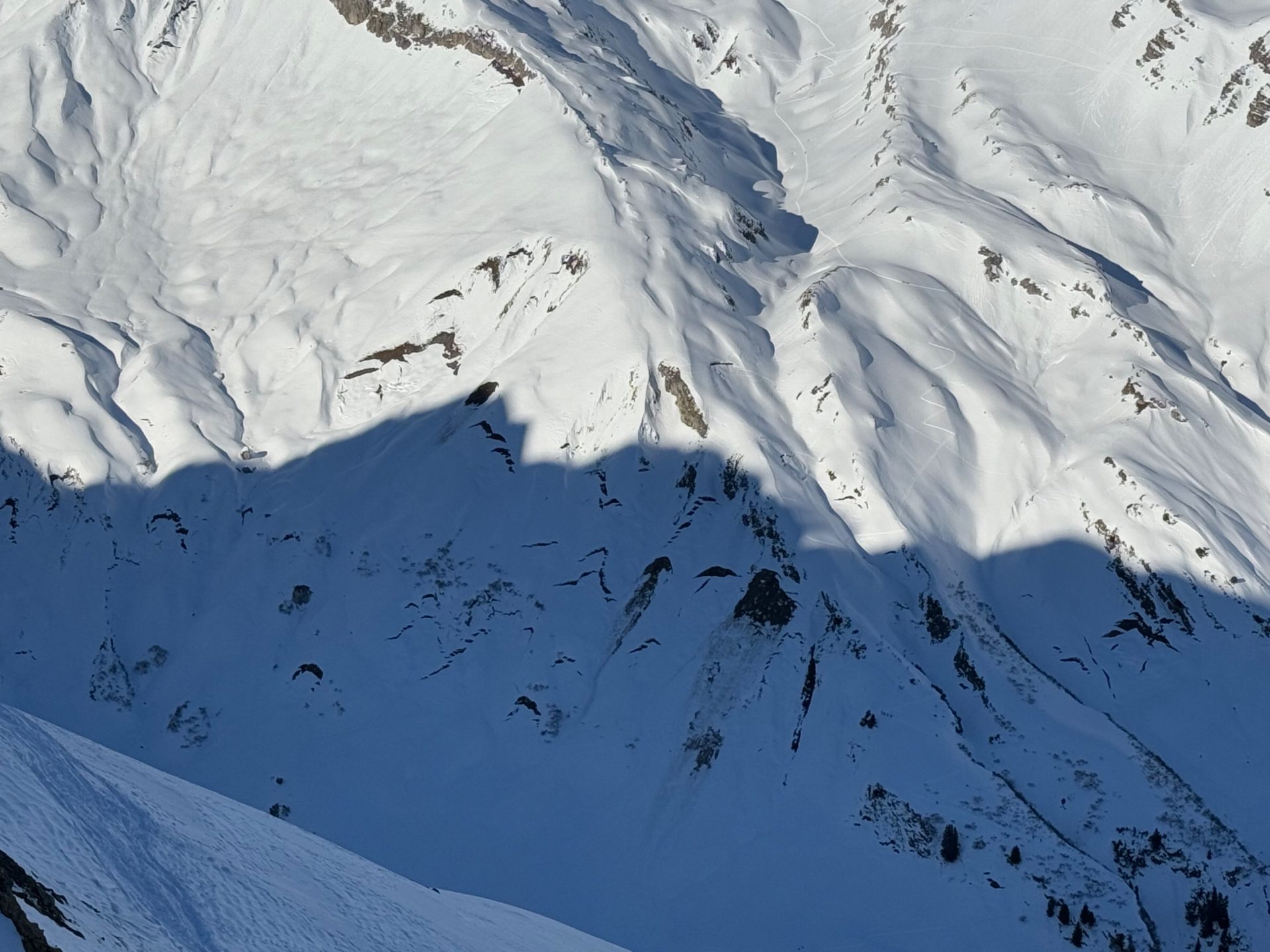
Once again, as fresh snowfall approaches, we are faced with the question of the structure of the old snowpack. The persistent weak layer which dominated regionally over the last few weeks has markedly improved in the interim. That is because the slab atop faceted weak layers on shady slopes has become looser since the snowpack on sunny slopes has formed stabilizing melt-freeze crusts and, in addition, because the weak layer itself has firmed up a bit. This has been confirmed by the lack of reports of slab avalanches triggering over the last few days, there were also no reports of settling noises. Nevertheless, in very isolated cases avalanche releases are still possible, particularly on extremely steep shady slopes above 2400m, on sunny slopes above 2600m, and especially in transitions from deep to shallow snow.
Of crucial importance for the snowfall in the current cold front: the structure of the snowpack surface. Due to the sunny weather starting on 25.12.2024 including a corresponding moistening of the snowpack and nocturnal outgoing radiation and cooling, a melt-freeze crust which was generally capable of bearing loads tended to form on sunny slopes up to high altitudes. On shady slopes, on the other hand, the snowpack surface retained its faceted and decomposed snow crystals until New Year’s Day. In the inversion situation, surface hoar frequently formed. Surface hoar, faceted crystals, decomposed crystals constitute weak layers for the freshly generated snowdrift accumulations. Snowdrifts atop melt-freeze crusts, on the other hand, bond well and are therefore no danger.

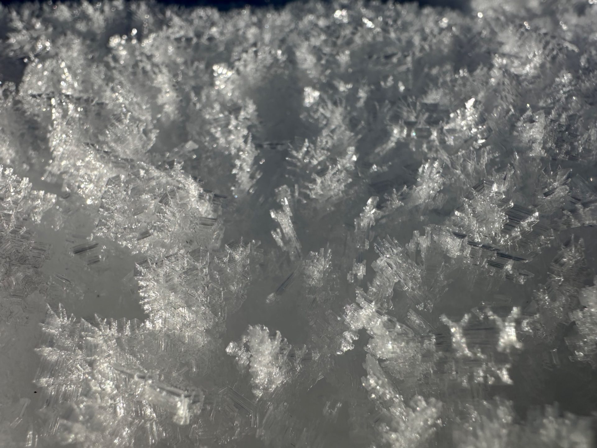
Surface hoar formed widespread in North Tirol on 25 December after the precipitation front receded, frequently generated during the inversion days.
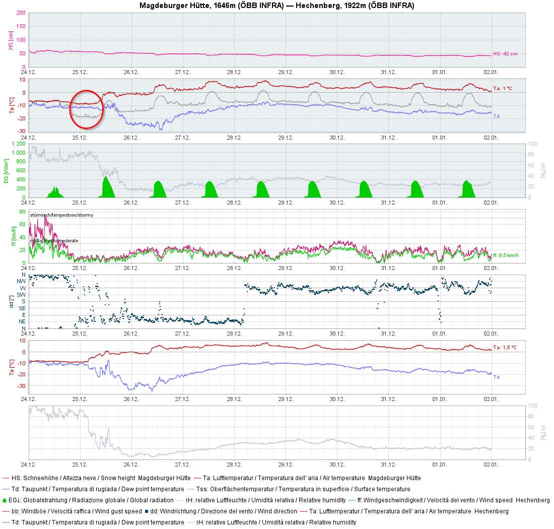
In the interim before the launch of the cold front which is currently moving over Tirol, there was rainfall up to 1000-1500m. In regions with rain impact, surface-near weak layers were often dissolved. Upshot: fresh snowdrifts starting at the timberline are extremely prone to triggering for that reason.
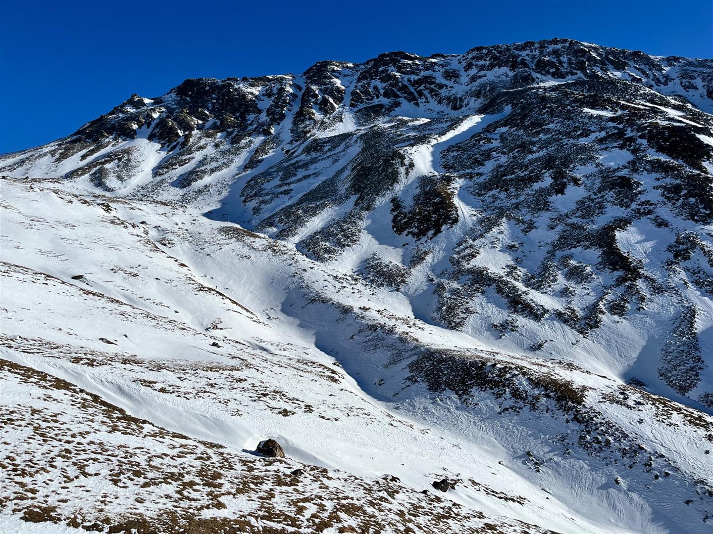
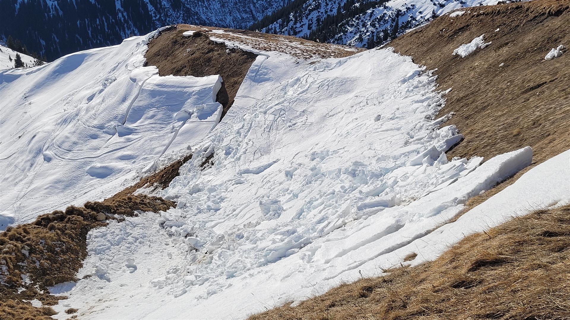
Latent gliding-snow problem
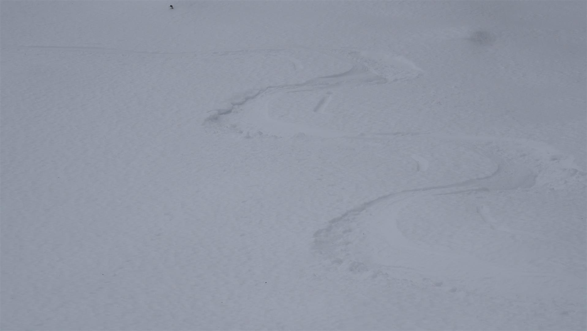
Following the snowfall over the Christmas holidays there was intense gliding snow activity where snowfall was heaviest. In the interim, this has receded markedly. What persists: a latent gliding snow problem. For that reason, we advise circumventing all zones below glide cracks.
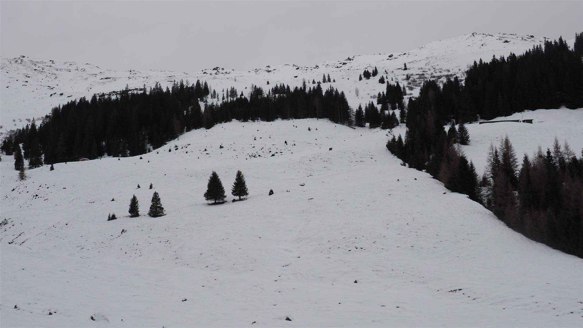
Unchanged: below average snow depths in widespread parts of Tirol
Backcountry touring opportunities are still quite limited due to the below-average snow depths. This applies most of all to East Tirol where in many places backcountry tours aren’t possible. Worse still, you have to be on the lookout for stones just below the surface, despite the forecast snowfall.