Before all else: Besides persistent weak layer problem, daytime loss of snowpack-surface firmness
Splendid winter weather including higher temperatures and intensive solar radiation has its impact: at very least the near-surface part of the snowpack becomes thoroughly wet. Where the snow is shallow, wetness penetrates much deeper. Water seepage in the snowpack generates a loss of overall firmness. That means the melt-freeze crust which formed during the night (and was often capable of bearing loads) gets softened up.
- On extremely steep slopes, moist or wet loose-snow avalanches trigger.
- These loose-snow avalanches burden the snowpack on their plummet path so much that slab avalanches are triggered.
- Water seeps down to the faceted layer which caused the persistent-weak-layer problem (beneath a thin melt-freeze crust). Thereby the weak layer loses its firmness. The likelihood of a slab avalanche triggering thereby increases. This scenario is especially applicable to extremely steep S/SE to S to S/SW facing slopes where the snow is shallow at intermediate altitudes.
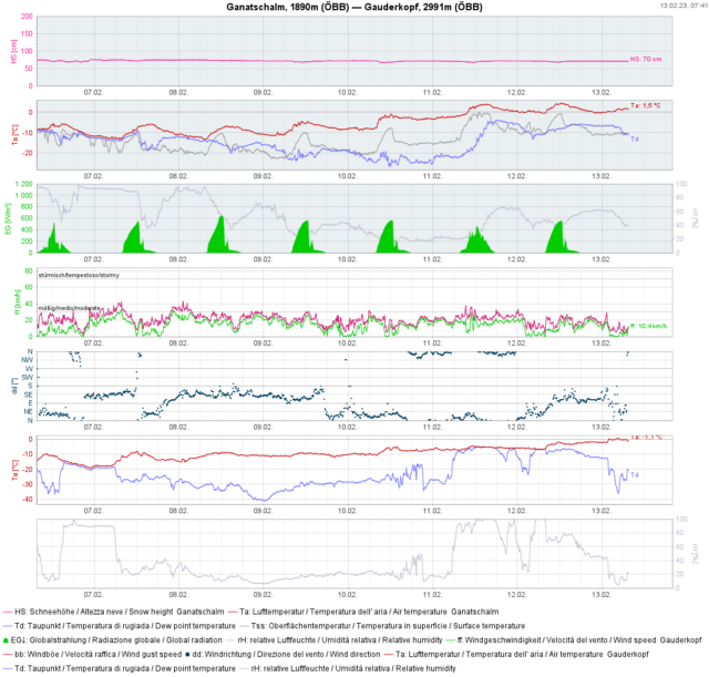 |
| Rising temperatures. Rising snowpack-surface temperatures and the corresponding daytime danger cycle. |
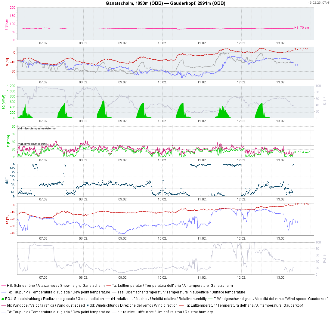
The curve of snowpack-surface temperature is becoming flatter at the measurement stations. That demands heightened attentiveness to the increasing wetness of the snowpack.
Yesterday (12.02.2023) an avalanche near the Kellerjoch in the direction of Naunzalm was reported. Since it was not certain if persons were buried in snow, a search operation was initiated that was hampered by subsequent avalanches. In the end, the all-clear signal could be given, no one was buried in the snow.
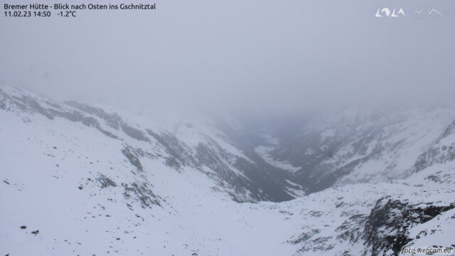
The analysis of this avalanche proved to be highly interesting, since we had no reason to expect a naturally triggered slab avalanche based on available data. However, as is so often the case, the explanation was simple…it lies in the devilish details. On Saturday, cloudbanks which moved in during the afternoon caused an intense moistening of the snowpack. We assumed that at least the latter part of the night would have clear skies, but that was definitely not what happened in the Lower Inn Valley. In the accident zone, nocturnal skies were heavily overcast with only tiny gaps. Thus, the prerequisites for longwave outgoing radiation and re-firming up of the superficially moistened snowpack were lacking. Solar radiation and higher daytime temperatures then generated a thoroughly wet snowpack, much wetter than anticipated. (By comparison, today on 13.02.2023 we have a better starting situation due to very clear nighttime skies and highly effective outgoing radiation.)
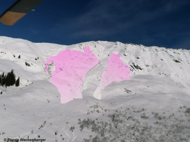 |
| Avalanche Kellerjoch on 12.02.2023. Extremely steep south-facing slope. Fracture at 2100m. |
Upshot
Please pay close heed to snowpack wetness in the next few days. Only on-site is it possible to determine this.
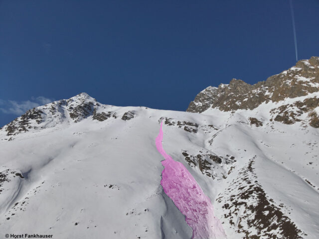 |
| One of the possible scenarios for the next few days: loose-snow avalanche triggers a slab avalanche. (photo: 12.02.2023) |
